Elevation of 30 QC-, Lac-Frontière, QC G0R 1T0, Canada
Location: Canada > Québec > Lac-frontière >
Longitude: -70.231926
Latitude: 46.6932316
Elevation: 548m / 1798feet
Barometric Pressure: 95KPa
Elevation Map:
Satellite Map:
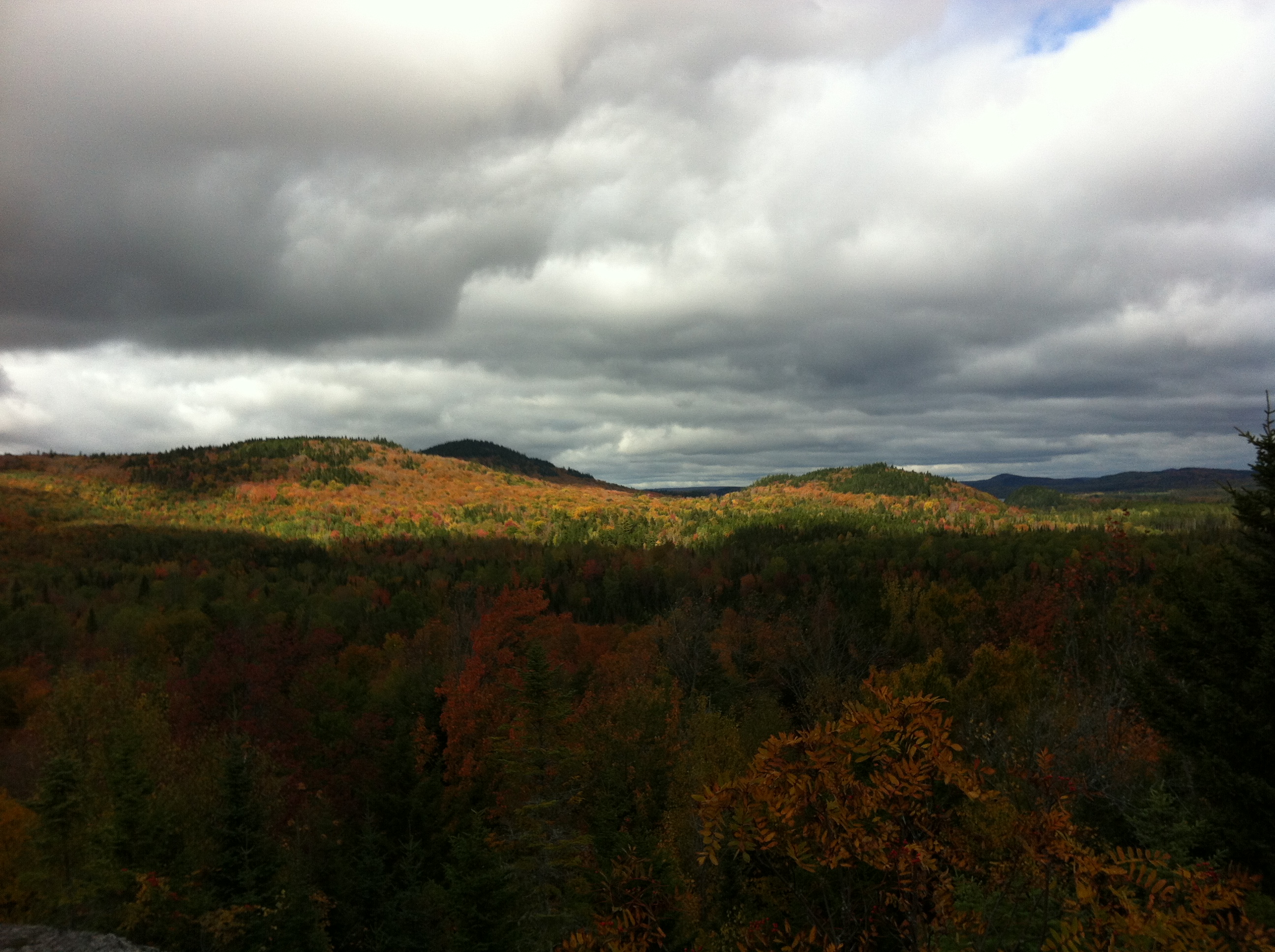
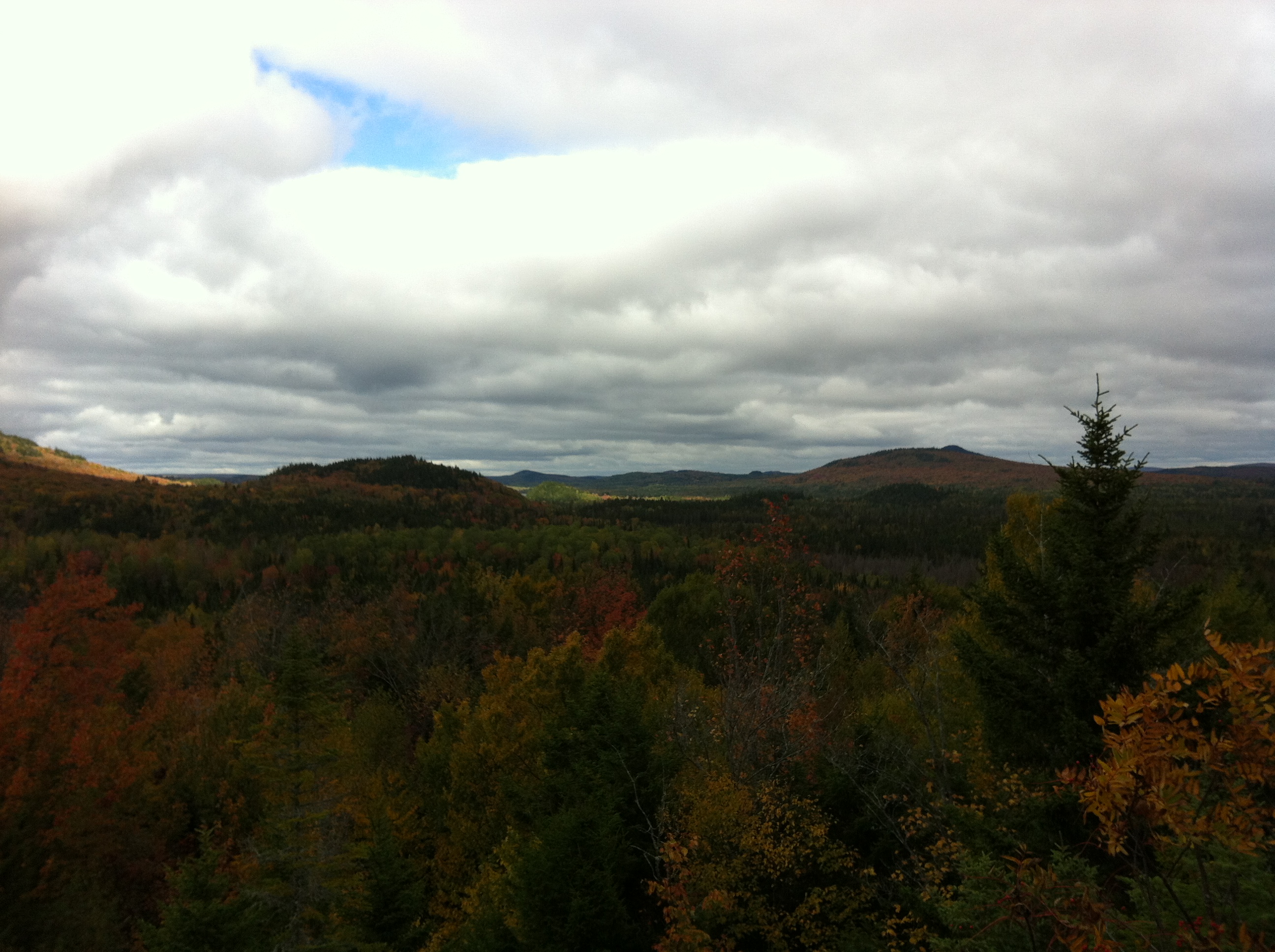
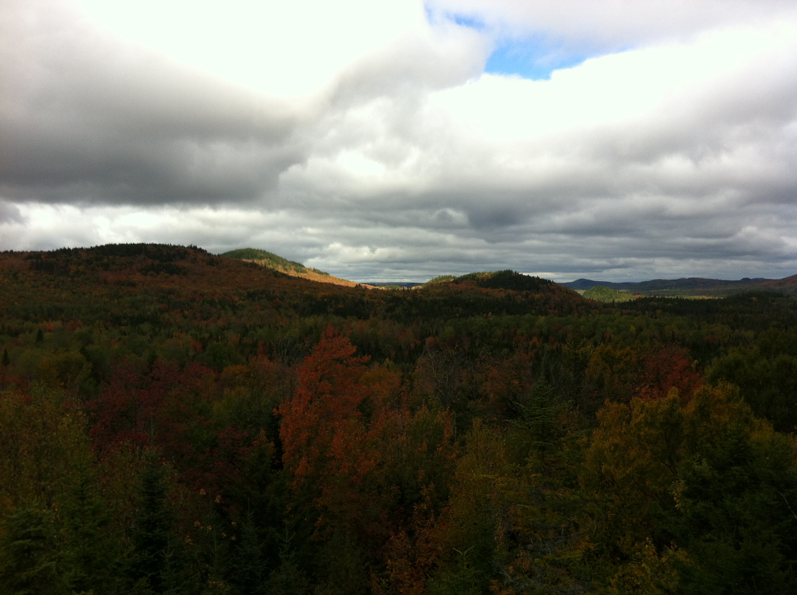
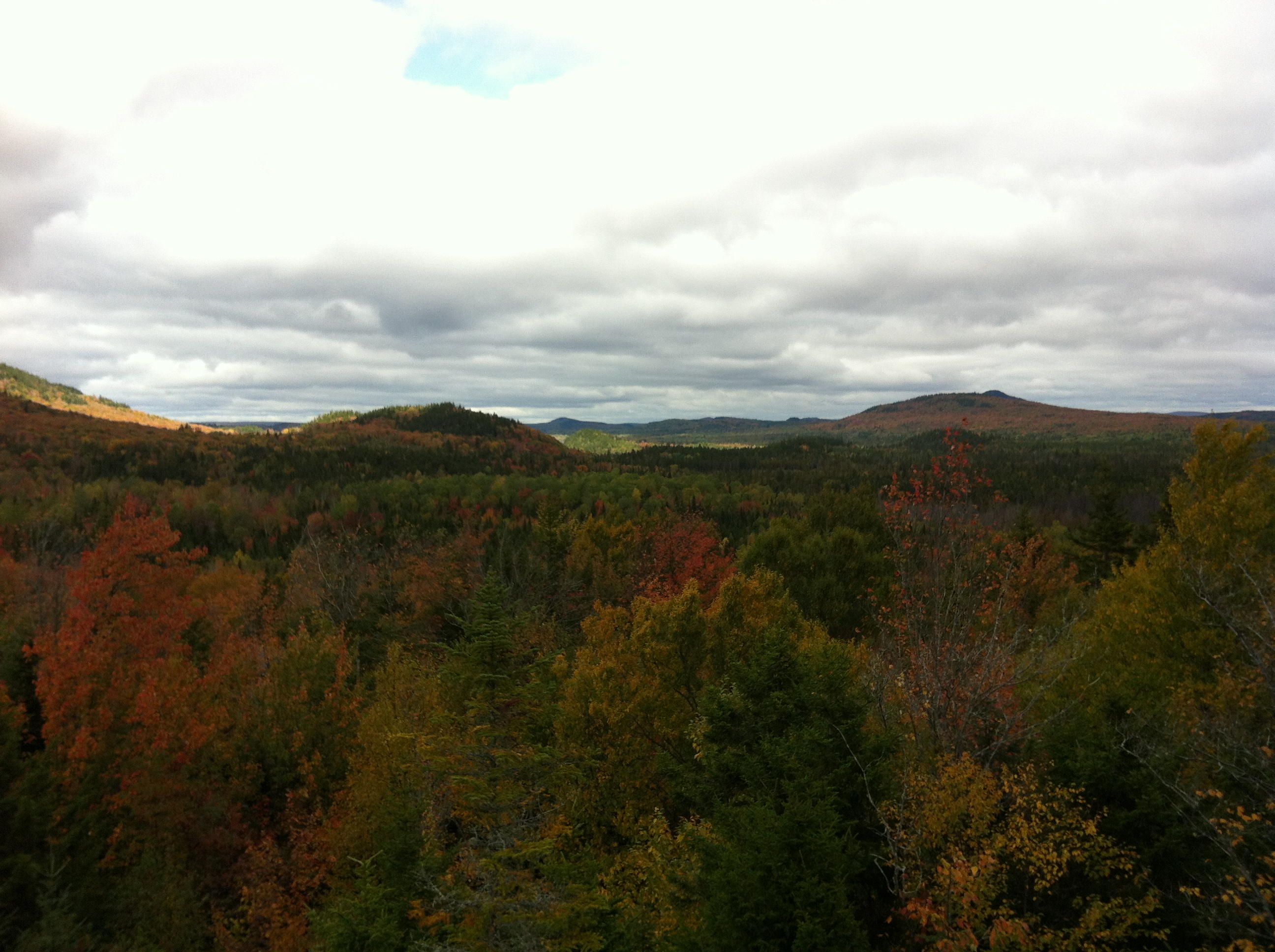
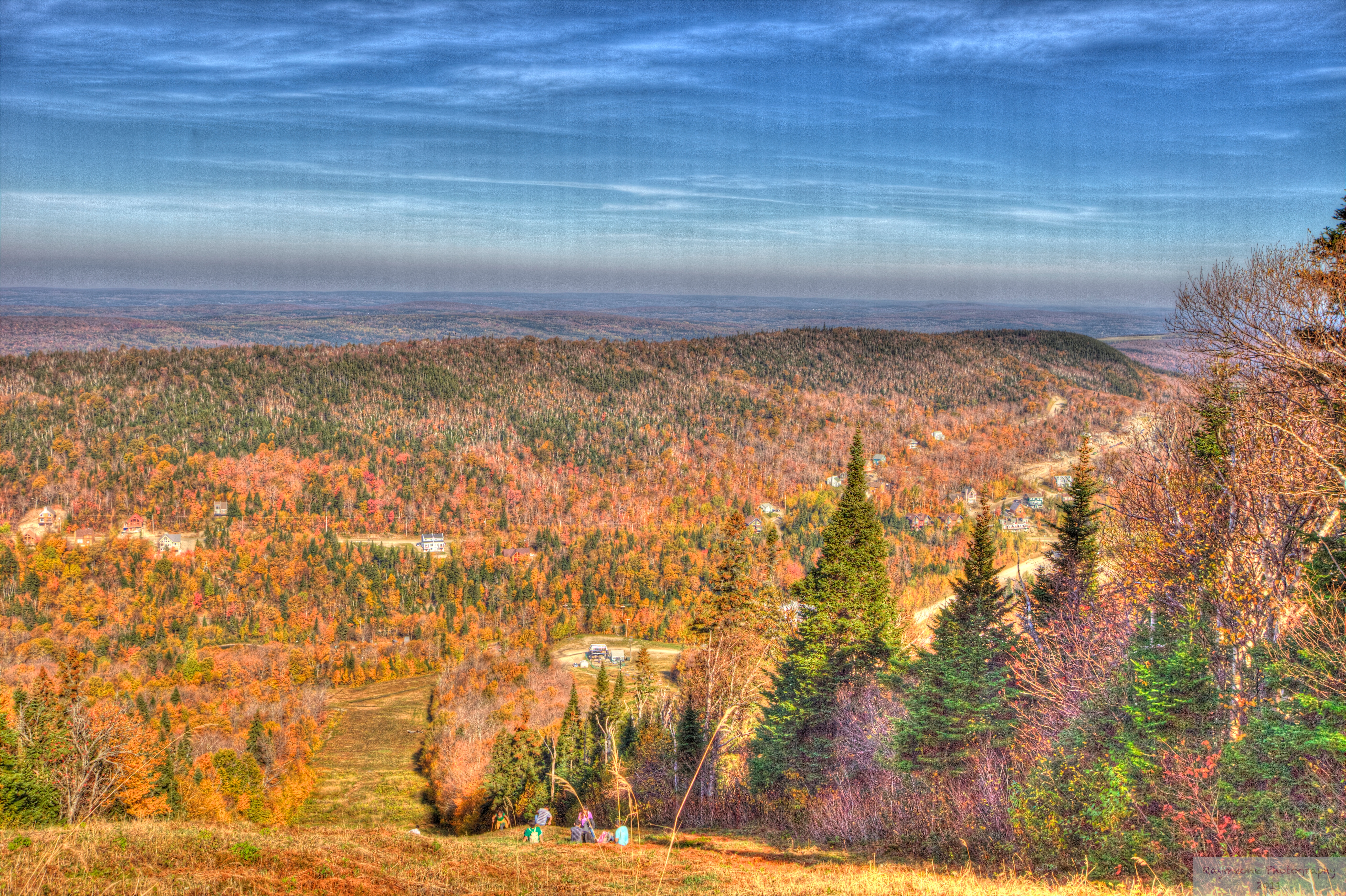
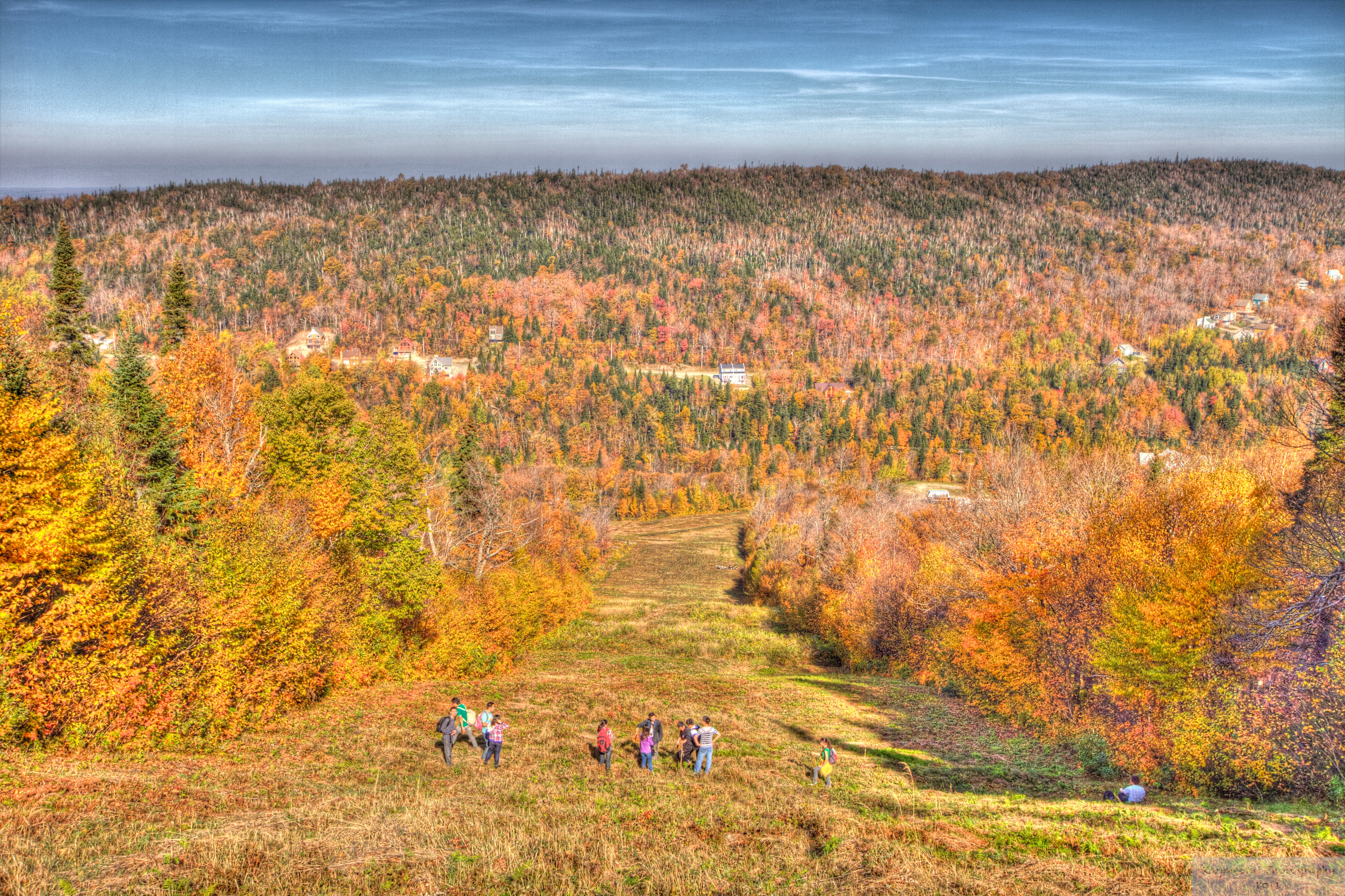
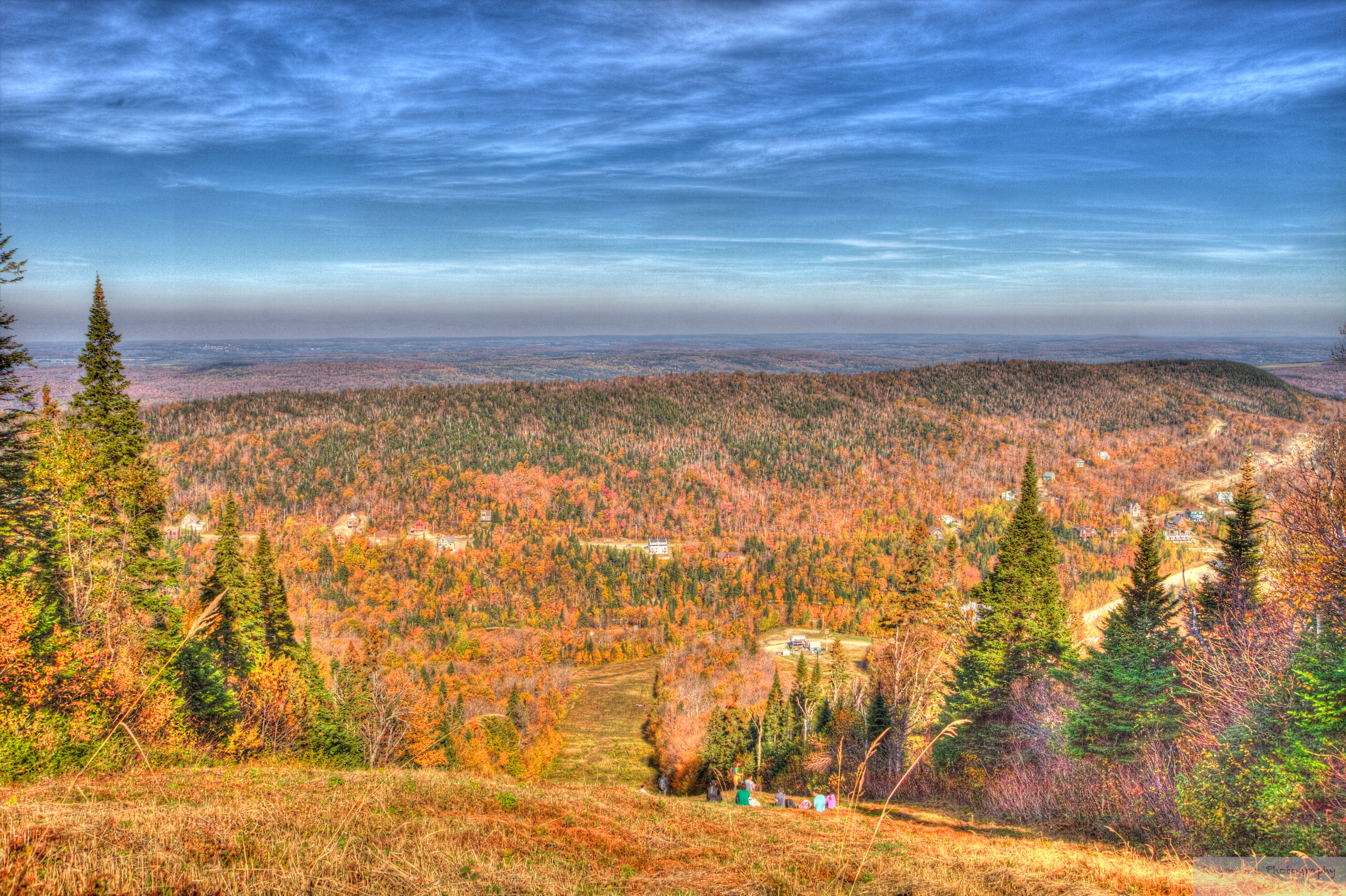
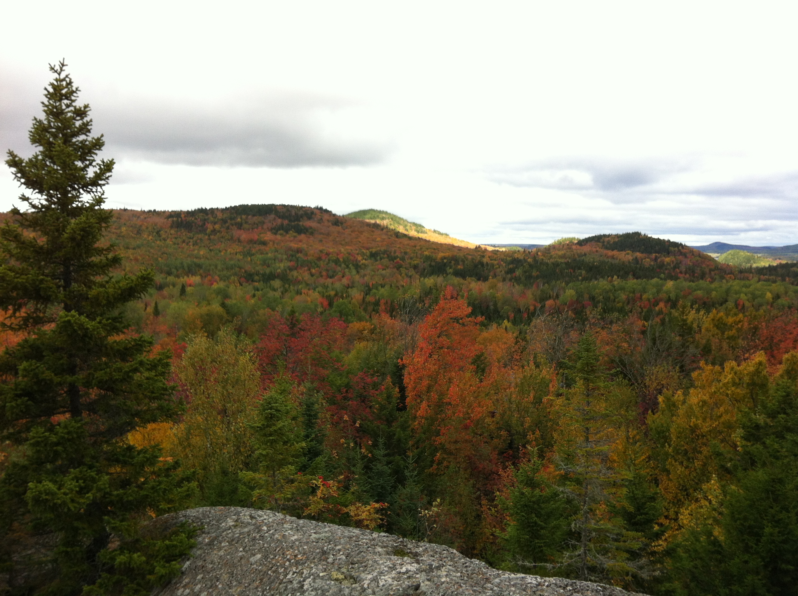
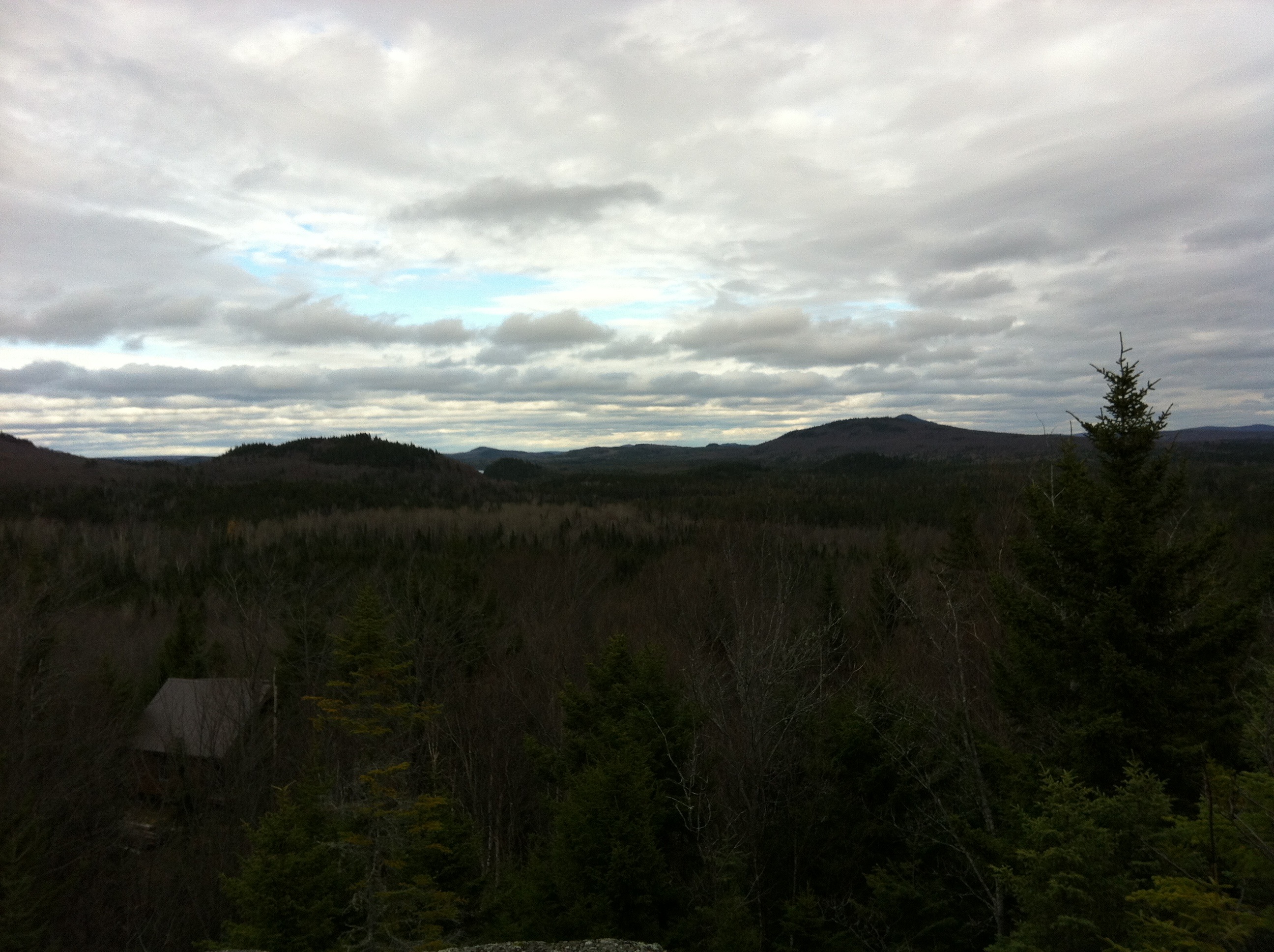
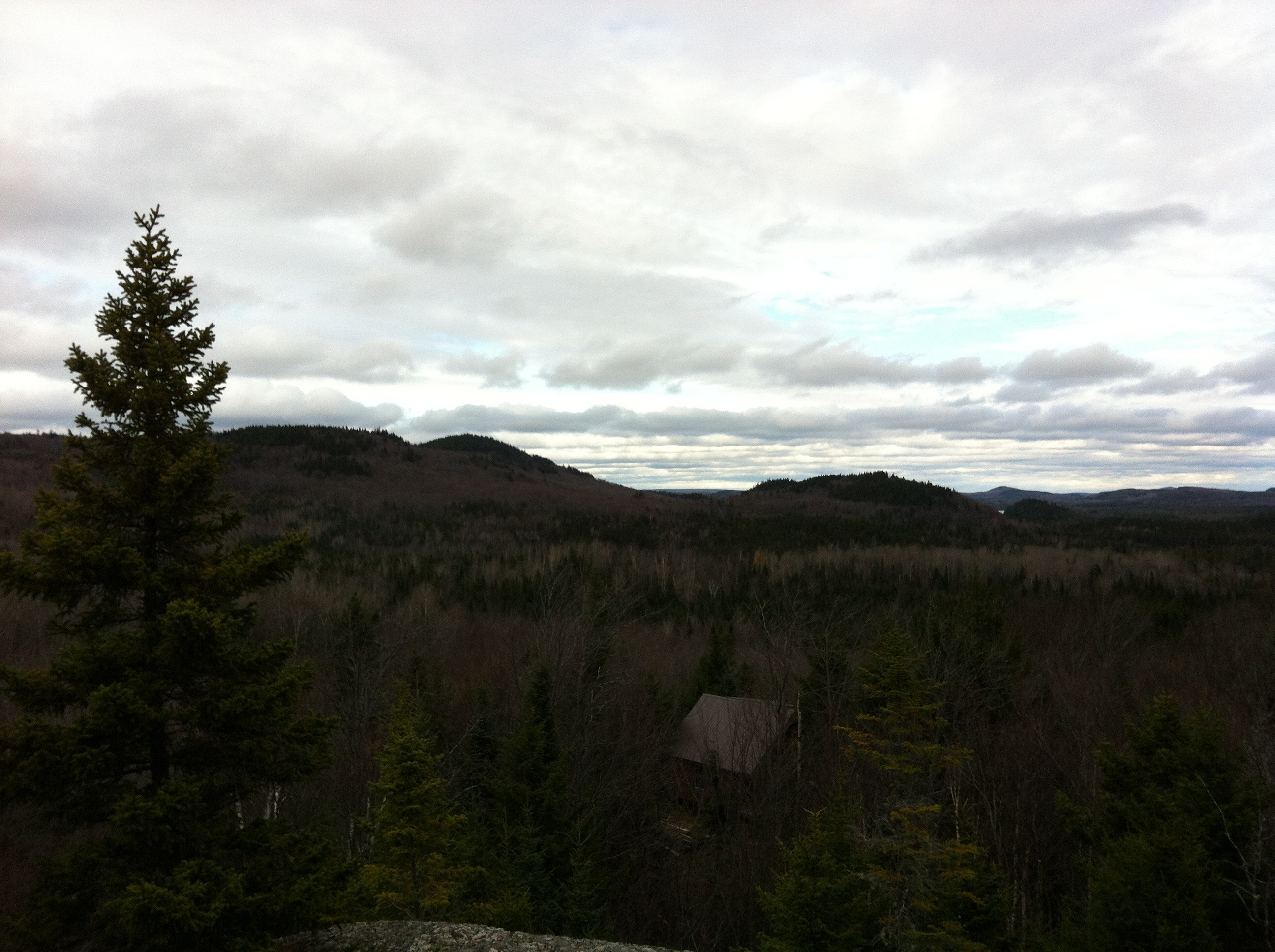
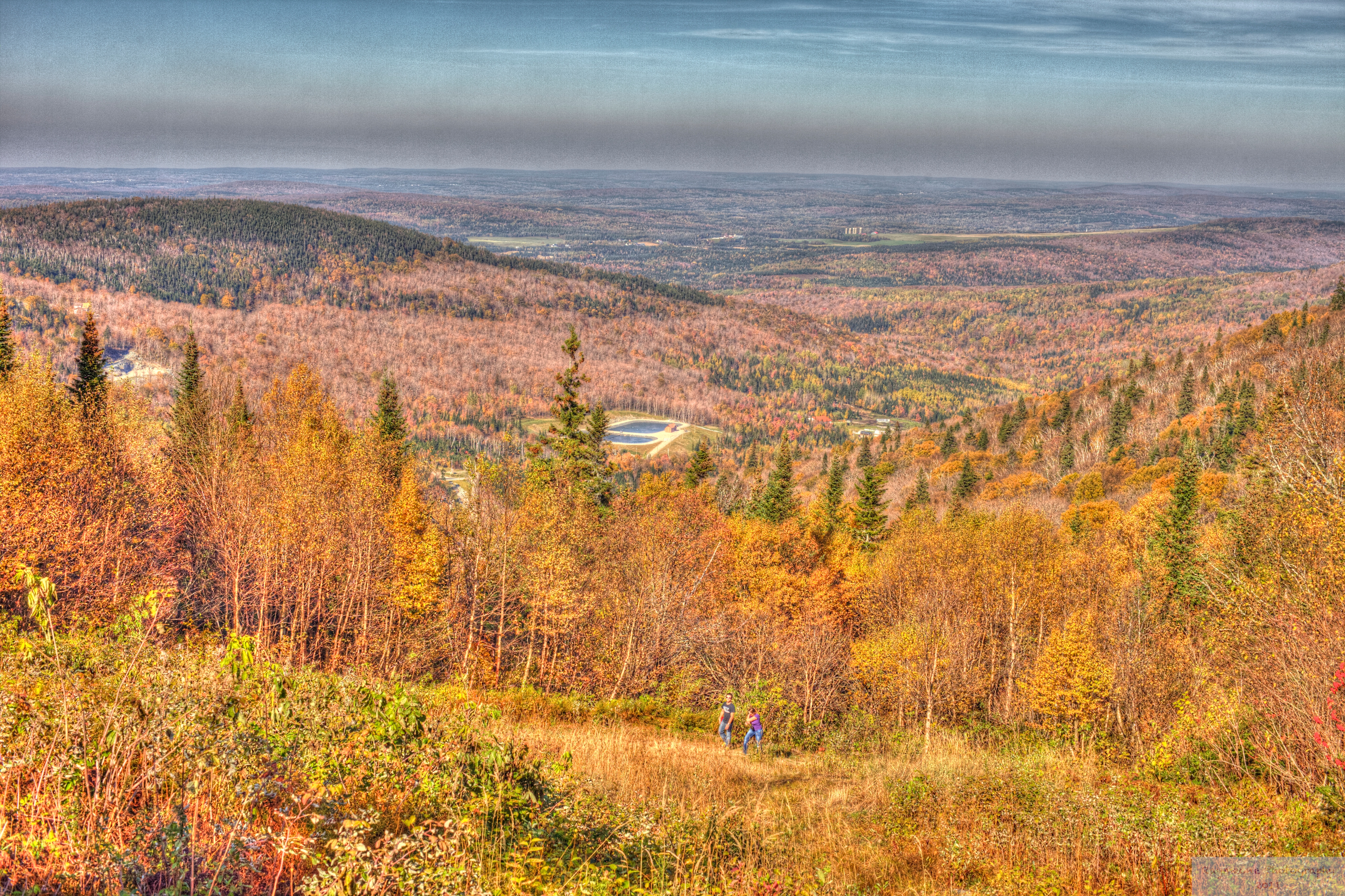
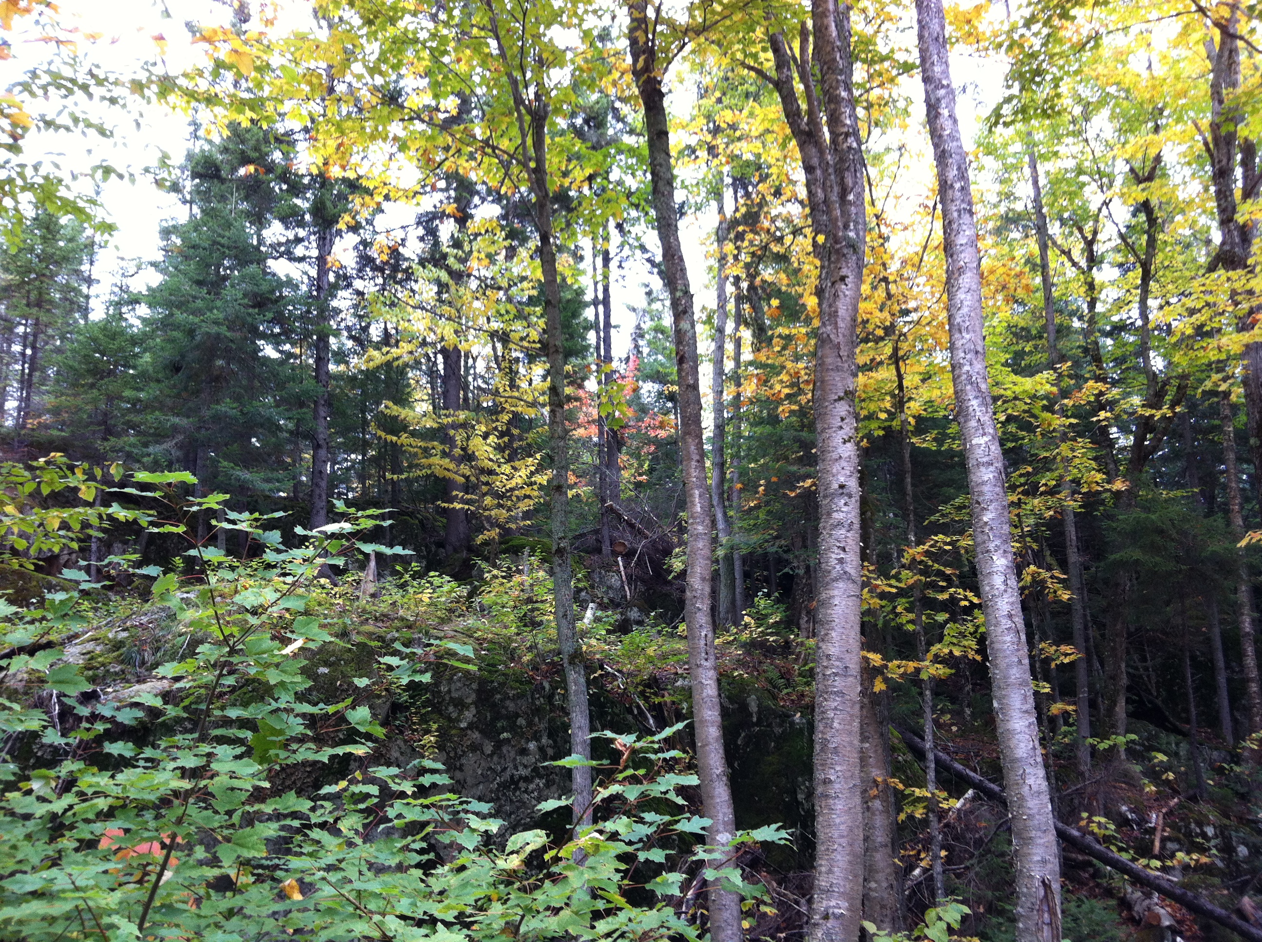
Related Photos:
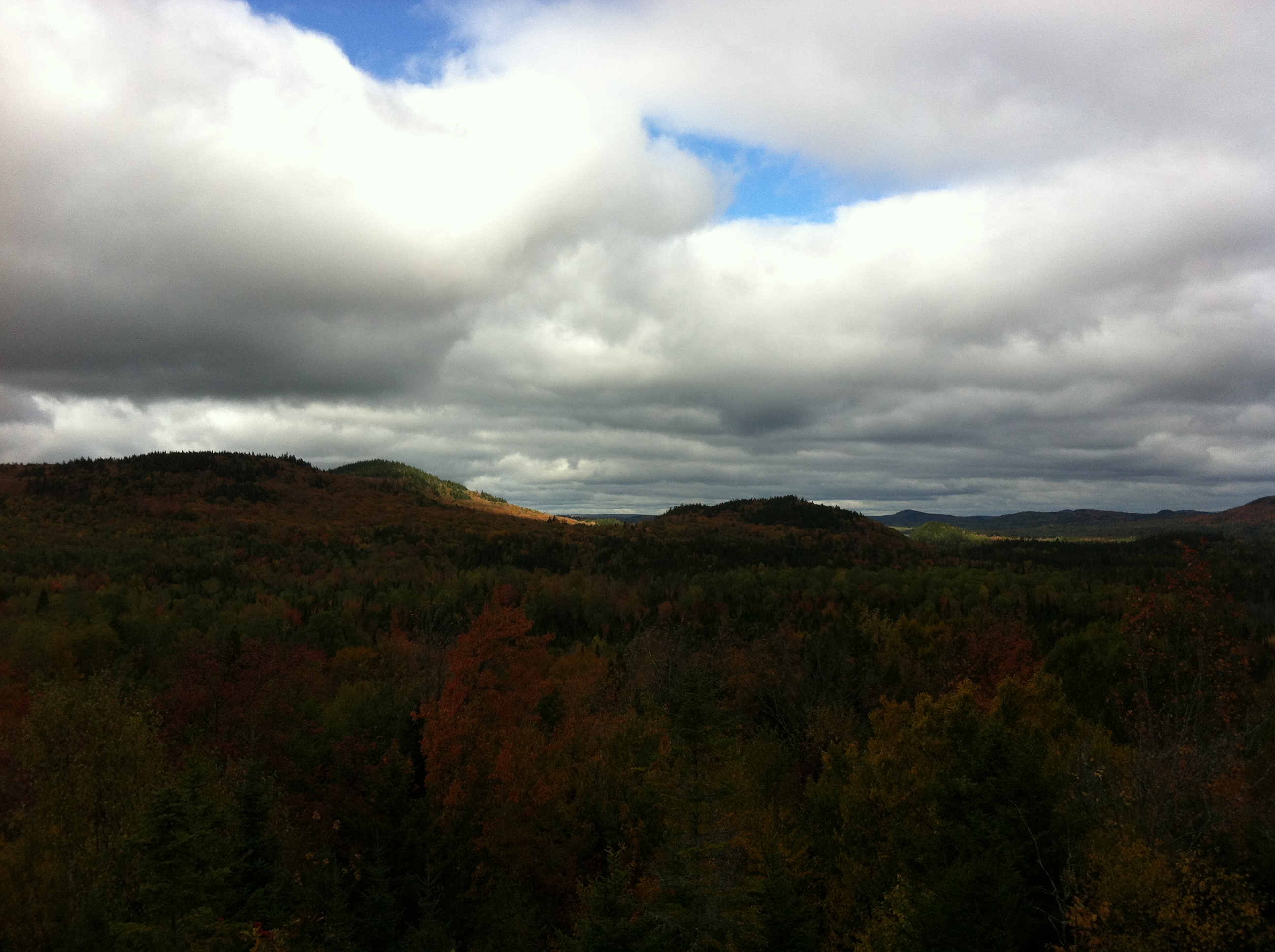
Équinoxe2013_6
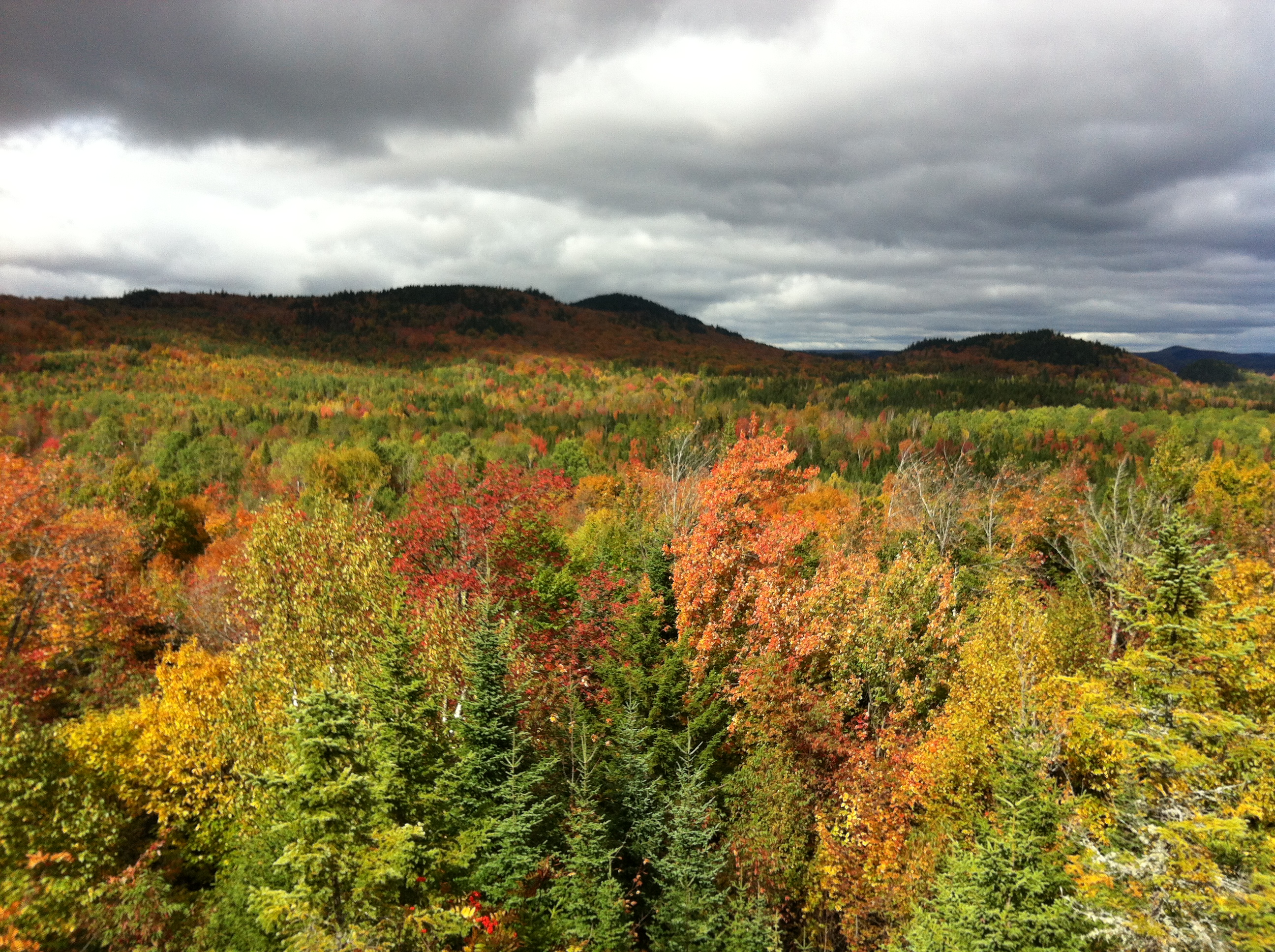
Équinoxe2013_20
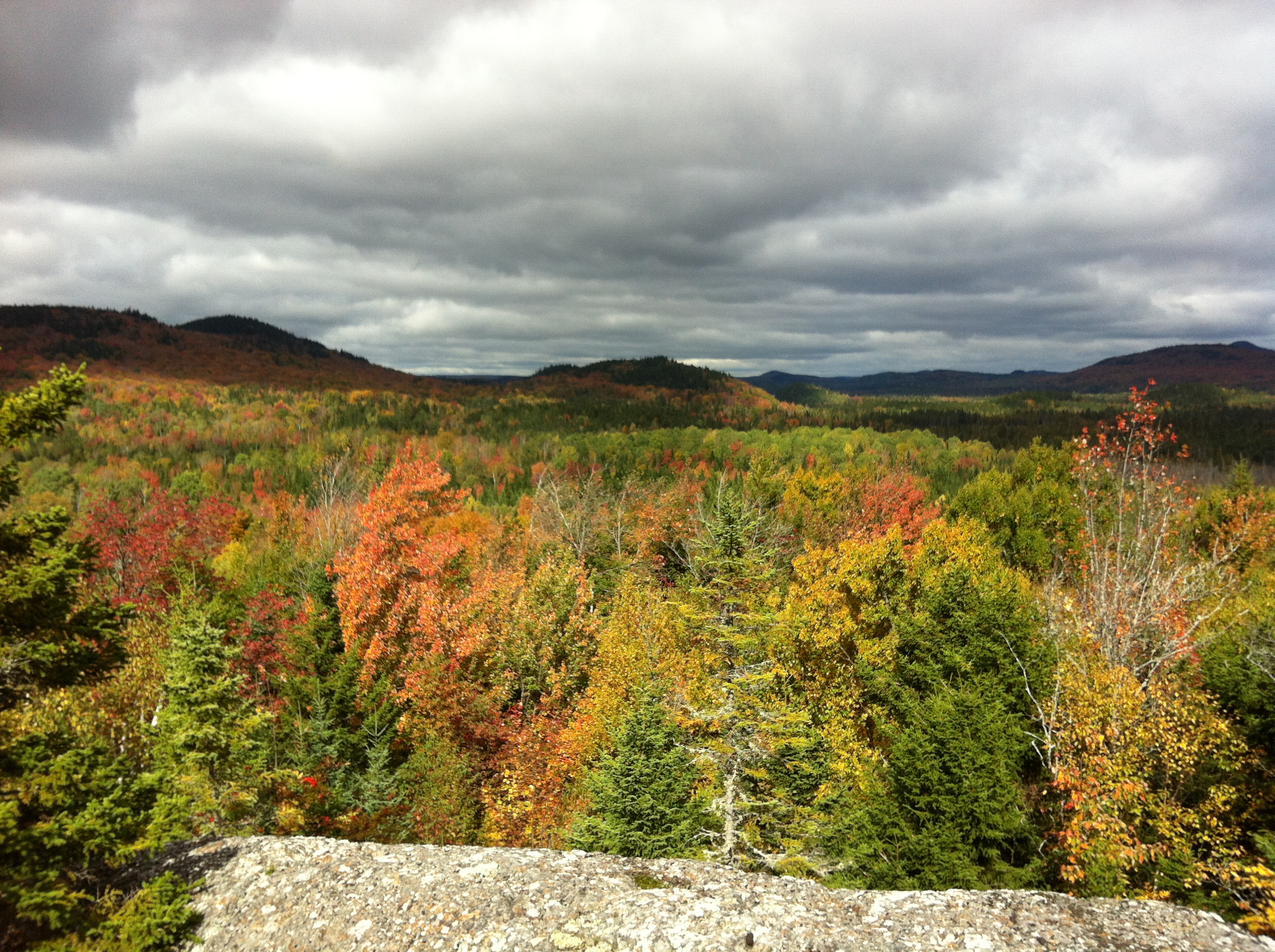
Équinoxe2013_19
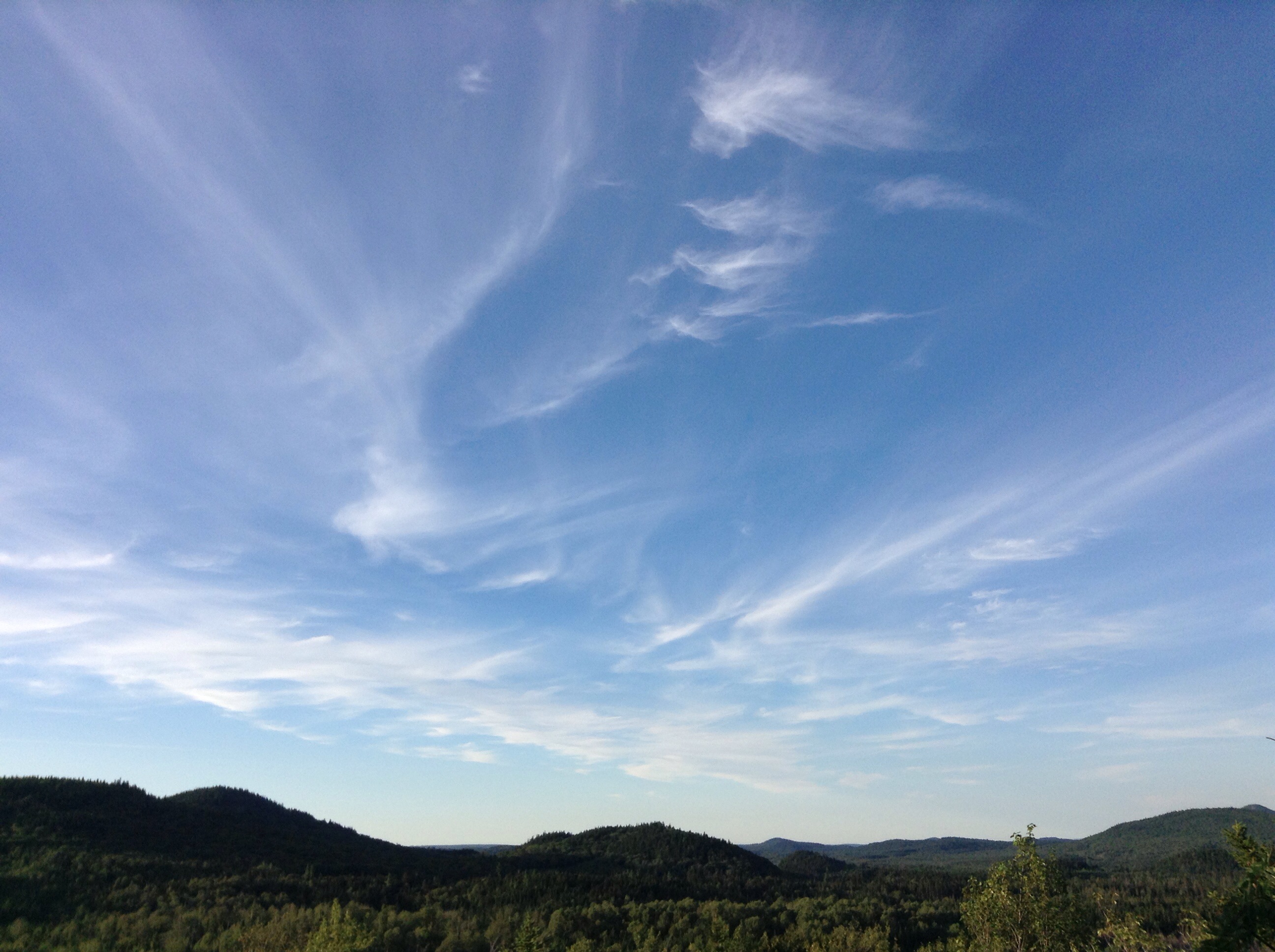
Séjour au sommet
Équinoxe2013_17
Équinoxe2013_7
Équinoxe2013_15
Équinoxe2013_14
Masse et pierre
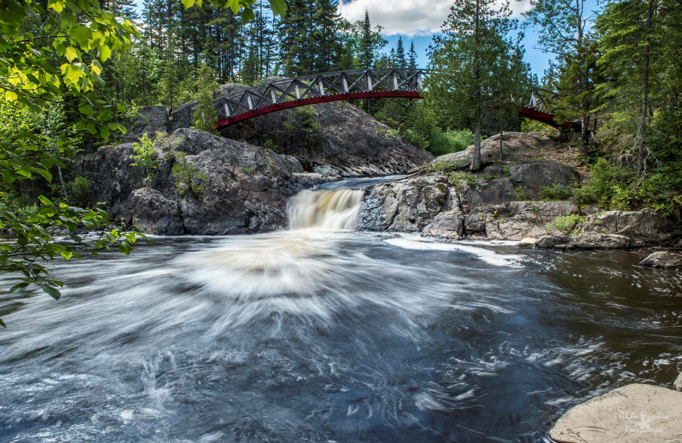
Chute de la Devost, parc régional Chaudière-Appalaches.
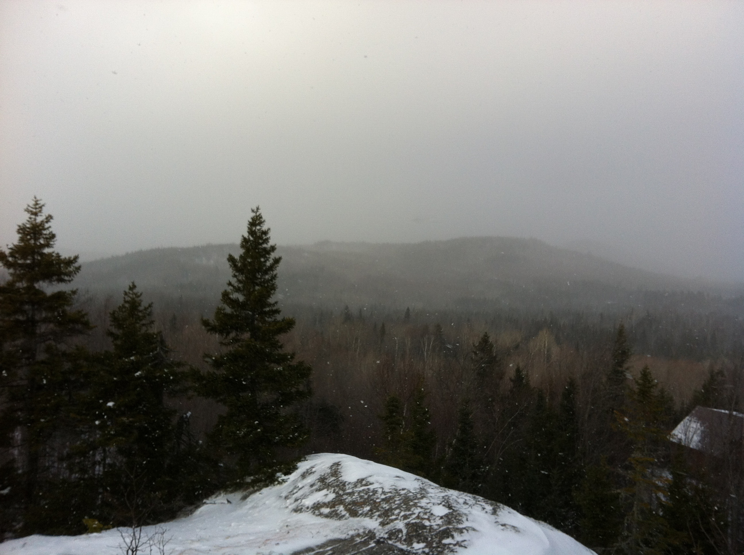
Séjour au sommet
Tempus fugit
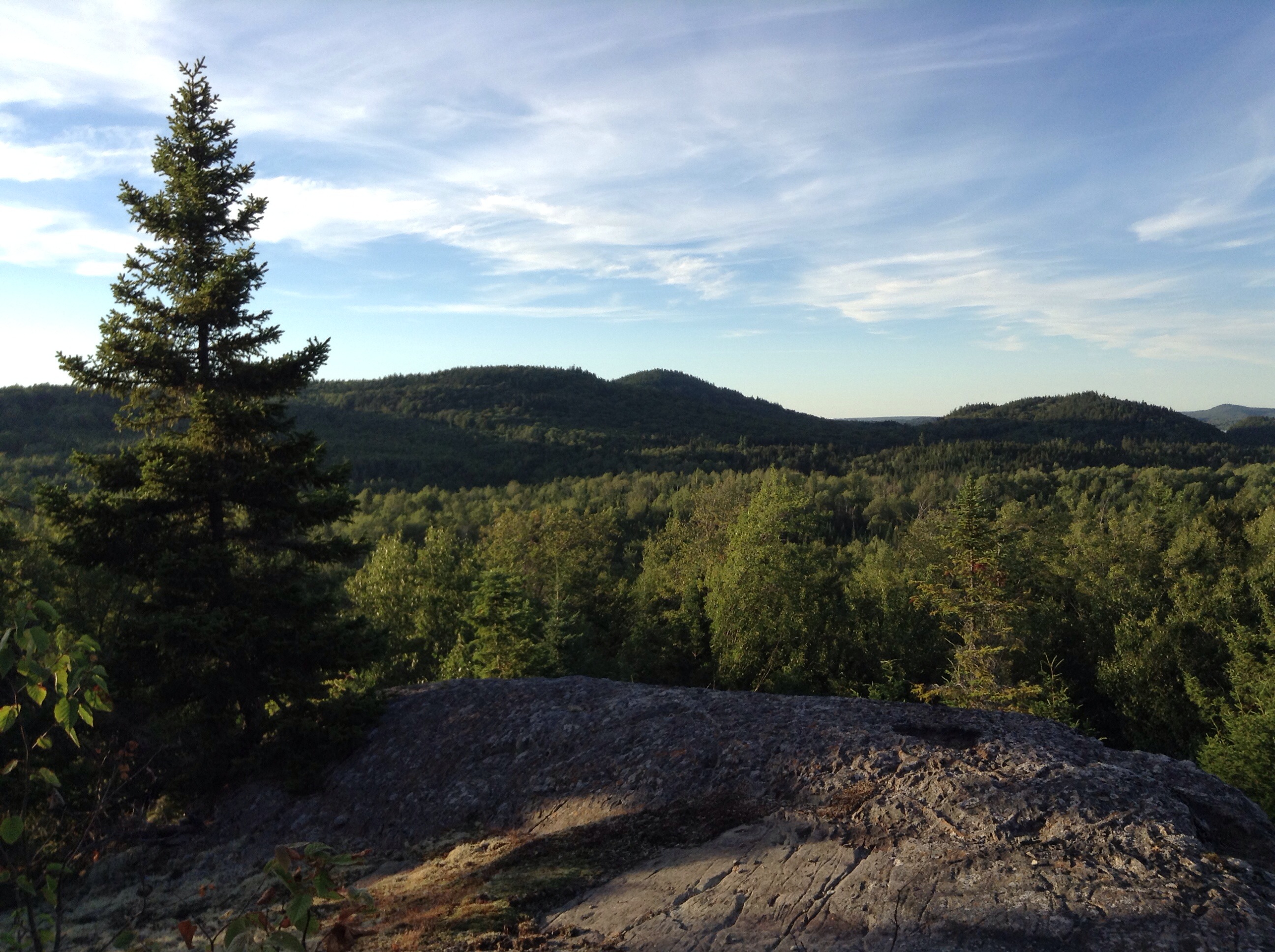
Massif du Sud
Préparatifs
Massif du Sud
Massif du Sud
Équinoxe2013_12
Préparatifs
Préparatifs
Massif du Sud
Équinoxe2013_2
Topographic Map of 30 QC-, Lac-Frontière, QC G0R 1T0, Canada
Find elevation by address:

Places near 30 QC-, Lac-Frontière, QC G0R 1T0, Canada:
Saint-magloire
QC-, Saint-Just-de-Bretenières, QC G0R 3H0, Canada
QC-, Saint-Camille-de-Bellechasse, QC G0R 2S0, Canada
63 QC-, Saint-Just-de-Bretenières, QC G0R 3H0, Canada
Saint-camille-de-bellechasse
Lac-frontière Township
Lac-frontière
Saint-camille-de-lellis
Saint-adalbert
L'islet Regional County Municipality
Saint-adalbert
57 Rue Principale, Saint-Adalbert, QC G0R 2M0, Canada
Saint-aubert
Tourville
Rue Principale, Tourville, QC G0R 4M0, Canada
Sainte-perpétue
Saint-aubert
Tourville
Sainte-perpétue
244 3e Rang E
Recent Searches:
- Elevation of Corso Fratelli Cairoli, 35, Macerata MC, Italy
- Elevation of Tallevast Rd, Sarasota, FL, USA
- Elevation of 4th St E, Sonoma, CA, USA
- Elevation of Black Hollow Rd, Pennsdale, PA, USA
- Elevation of Oakland Ave, Williamsport, PA, USA
- Elevation of Pedrógão Grande, Portugal
- Elevation of Klee Dr, Martinsburg, WV, USA
- Elevation of Via Roma, Pieranica CR, Italy
- Elevation of Tavkvetili Mountain, Georgia
- Elevation of Hartfords Bluff Cir, Mt Pleasant, SC, USA