Elevation of 30 Potash Rd, Mansfield, MA, USA
Location: United States > Massachusetts > Bristol County > Mansfield >
Longitude: -71.193981
Latitude: 42.0418949
Elevation: 41m / 135feet
Barometric Pressure: 101KPa
Elevation Map:
Satellite Map:
Related Photos:

_RDX7796.jpg
Amtrak 165 With a Private Car

_RDX4799.jpg
_RDX1459.jpg

_RDX7180.jpg

_D2_6390.jpg

_RDX7434.jpg
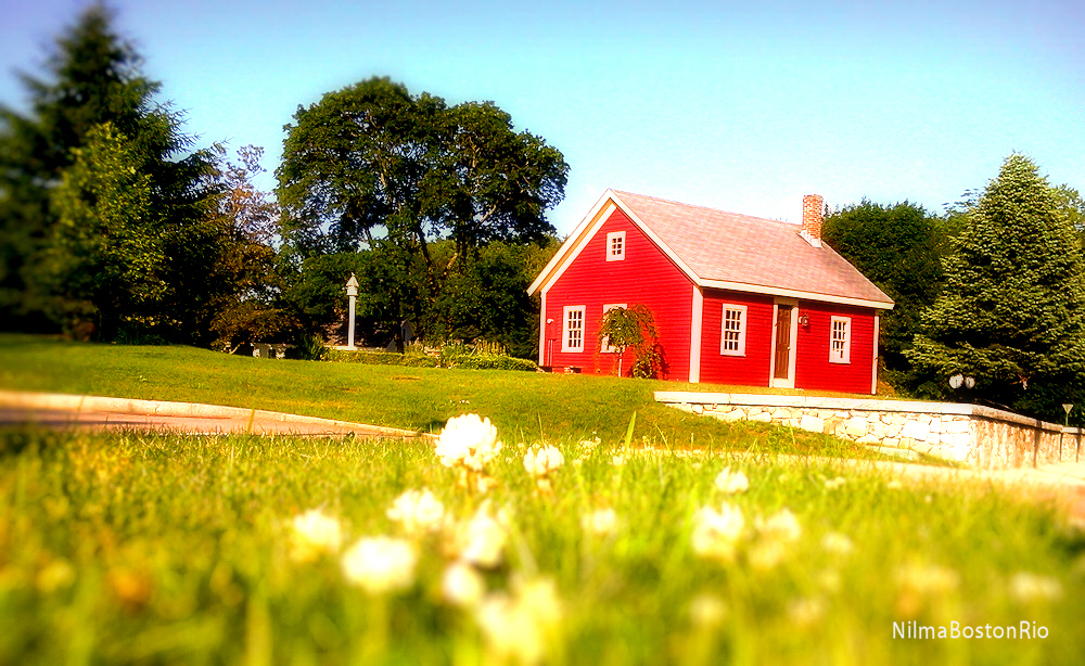
House - No flash
182/365 (+1) side-view
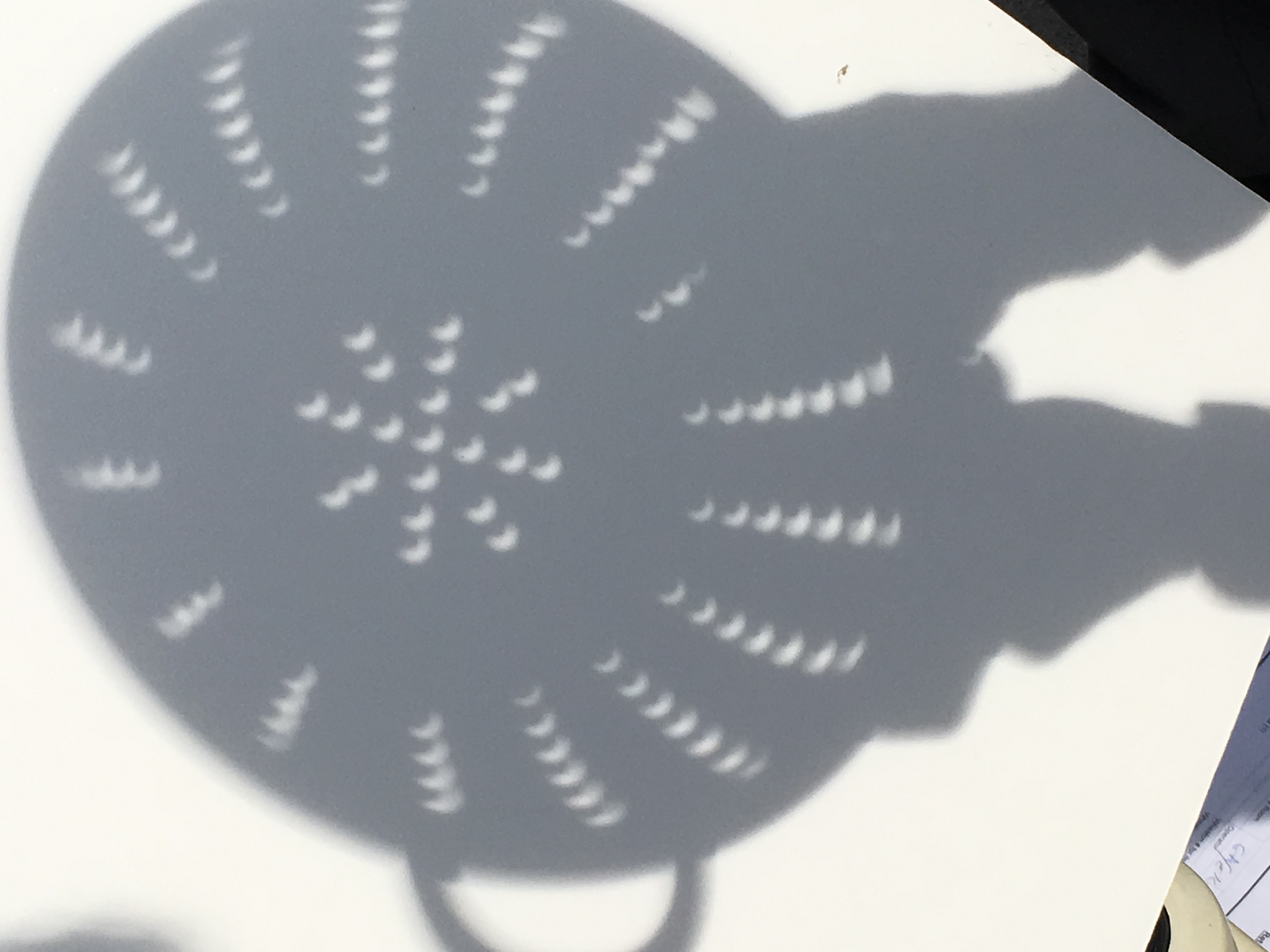
Eclipse, using a colander for viewing

_M4_6877.jpg

_RDX4957.jpg

_RDX7665.jpg
_RDX4976.jpg

Day 143 of 354 Days of Love!
_RDX7547.jpg

_RDX7452.jpg
_M4_8997.jpg

Holiday Lights - Ascension

_D2_6383.jpg
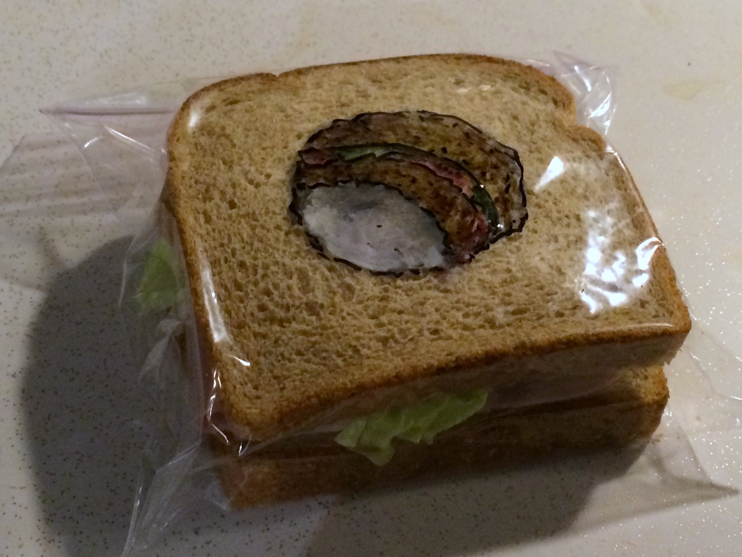
Another view of the Holey Sandwich

The Tower
Look; up in the sky...

The Enchanting.....
Flock Process Dam - Norwalk, CT

_RDX7343.jpg
Go Fishing
Another shot of D.W. In the afternoon

SMALL WONDERS
50 Beatrice JPEG (3 of 11)

Chair in field

Wintry Sunset
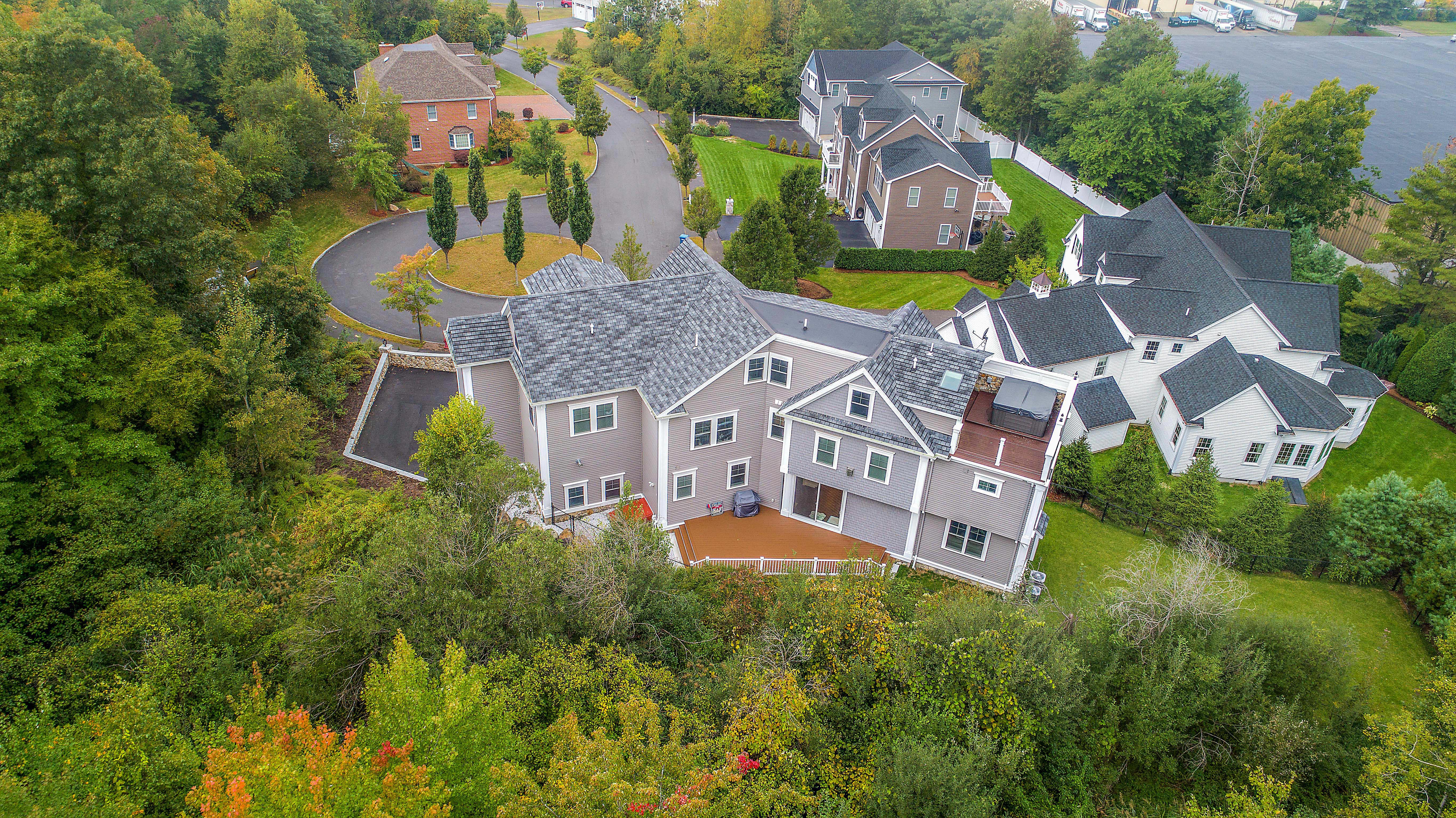
119 Esten Rd, Stoughton (21 of 28)
119 Esten Rd, Stoughton (19 of 28)
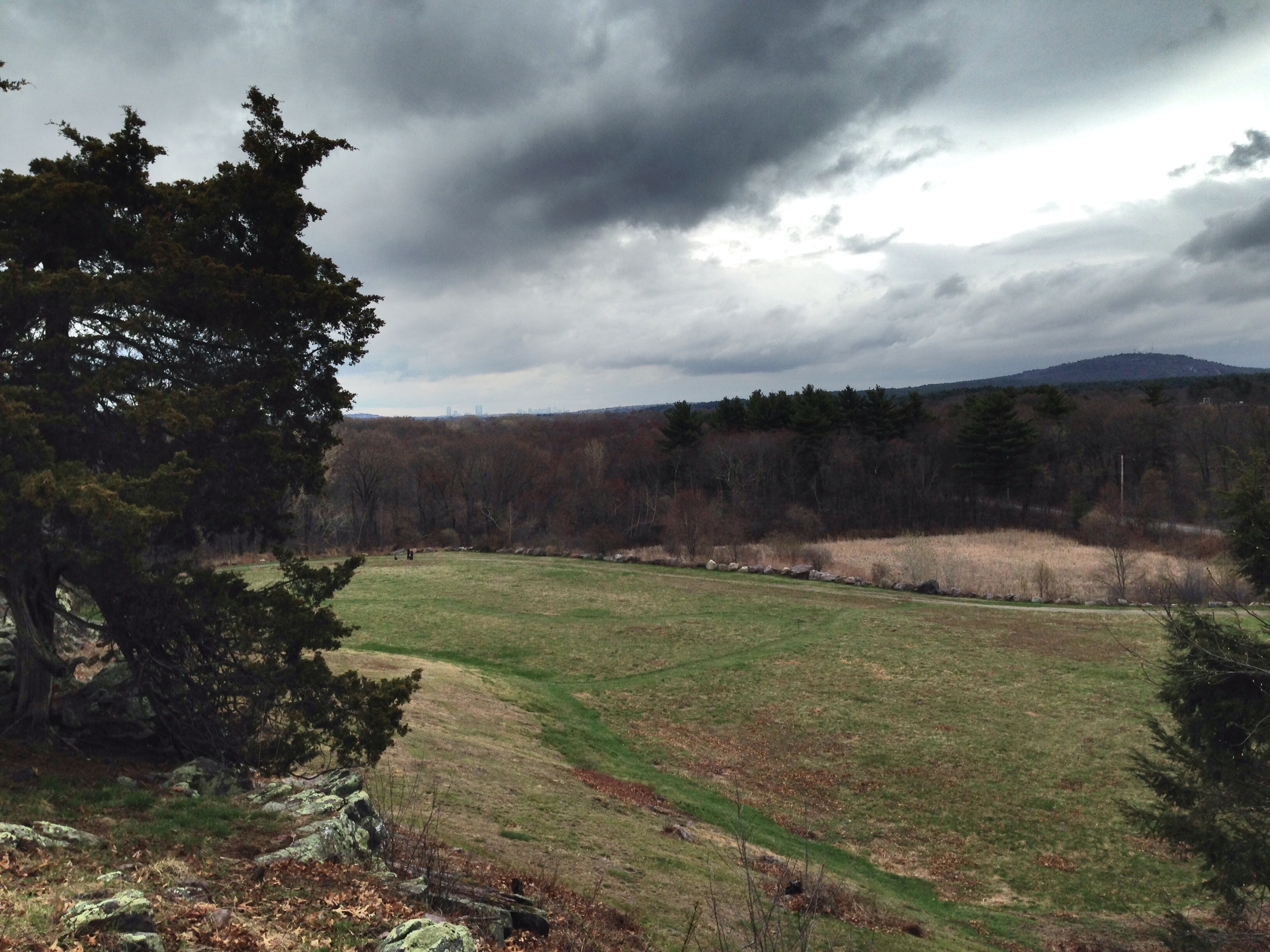
Blue Hill from Signal Hill, Canton, Massachusetts
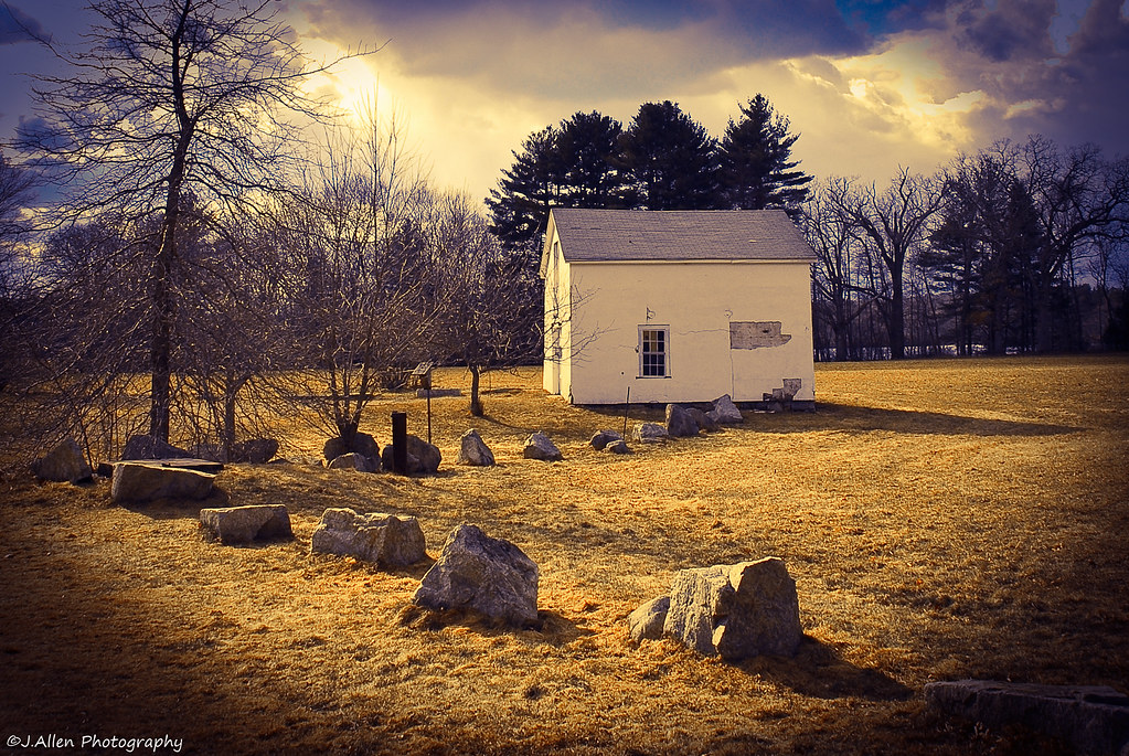
Borderland Meadow
Stony Brook Wildlife Sanctuary
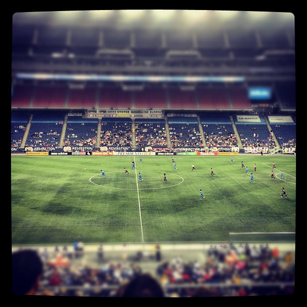
@nerevolution vs Philadelphia Union.
Downtown in Norfolk, MA. USA.
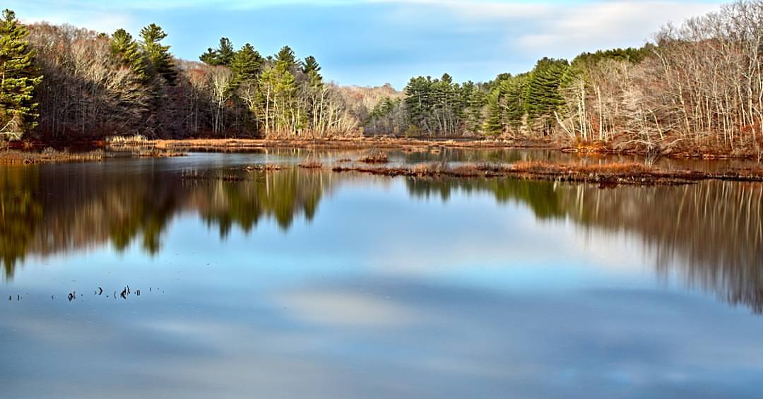
Pano at Borderlands State Park. #hpow #reflection #water #longexposure #ignewengland #igersnewengland #igmassachusetts
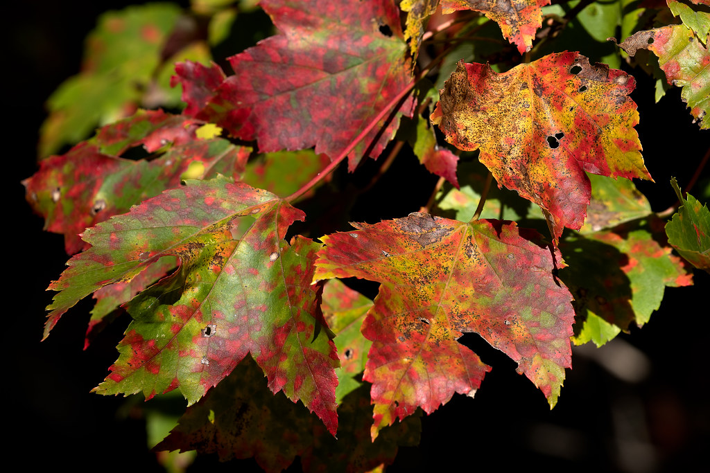
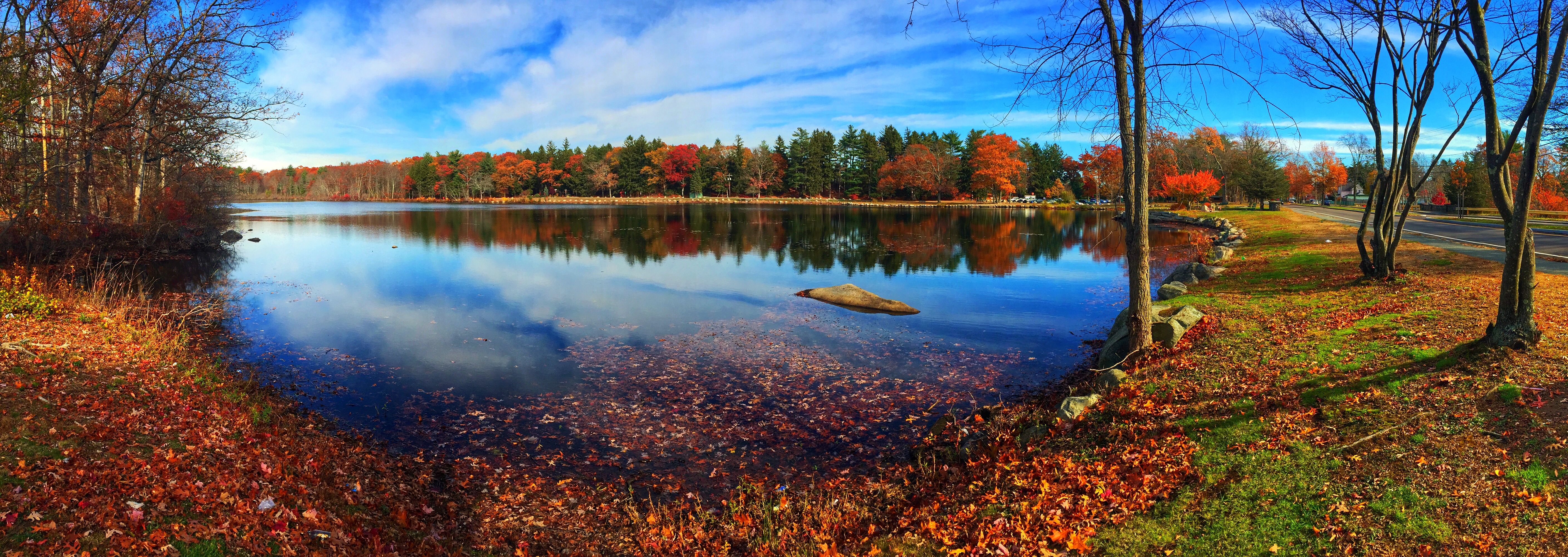
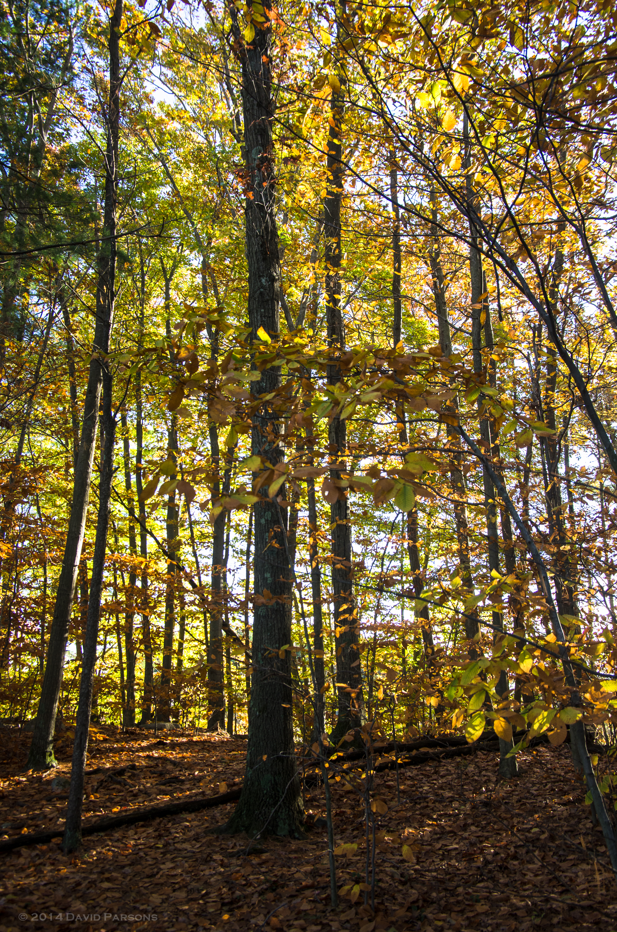
All the foliage colors
Topographic Map of 30 Potash Rd, Mansfield, MA, USA
Find elevation by address:

Places near 30 Potash Rd, Mansfield, MA, USA:
115 Pratt St
East St, Foxborough, MA, USA
50 Crocker St
Mansfield
N Main St, Mansfield, MA, USA
Belcher Lane
Mansfield Center
Monahan Lane
1282 East St
6 Colleen Mary Way
328 Central St
102 Eastman St
390 West St
23 Carmine Ave
11 Phyllis Rd
112 Highland St
7 Cheryl Dr
70 Mechanic St
Foxborough
Foxborough
Recent Searches:
- Elevation of Congressional Dr, Stevensville, MD, USA
- Elevation of Bellview Rd, McLean, VA, USA
- Elevation of Stage Island Rd, Chatham, MA, USA
- Elevation of Shibuya Scramble Crossing, 21 Udagawacho, Shibuya City, Tokyo -, Japan
- Elevation of Jadagoniai, Kaunas District Municipality, Lithuania
- Elevation of Pagonija rock, Kranto 7-oji g. 8"N, Kaunas, Lithuania
- Elevation of Co Rd 87, Jamestown, CO, USA
- Elevation of Tenjo, Cundinamarca, Colombia
- Elevation of Côte-des-Neiges, Montreal, QC H4A 3J6, Canada
- Elevation of Bobcat Dr, Helena, MT, USA