Elevation of 2nd St, Soldier, KS, USA
Location: United States > Kansas >
Longitude: -95.964338
Latitude: 39.5357988
Elevation: 372m / 1220feet
Barometric Pressure: 97KPa
Elevation Map:
Satellite Map:
Related Photos:

Panorama from Hwy 16 August 3, 2012

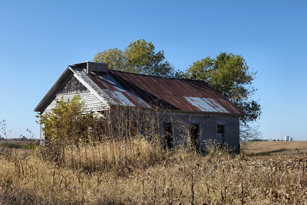
Abandoned Barn with near Holton _
Pano from HWY 16 near Randolph

Abandoned Barn with near Holton _

01032012 009
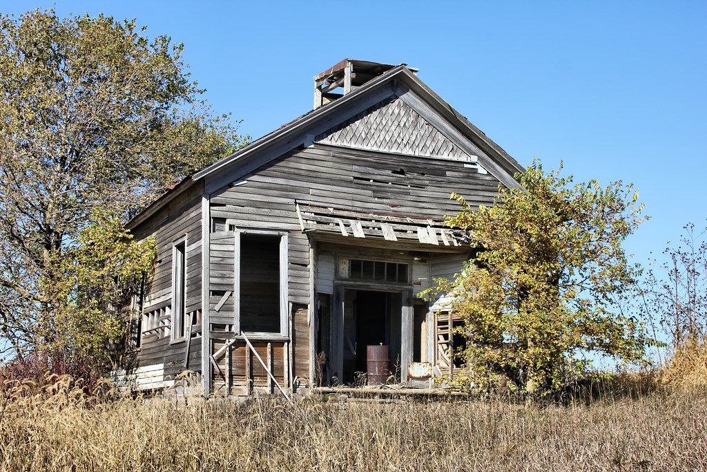
Public School - America City, KS
United Brethren Church - America City, KS
United Brethren Church - Corning, KS

Trinity United Methodist Church - Corning, KS
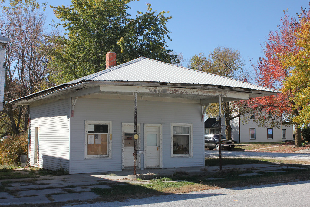
Gas Station - Corning, KS
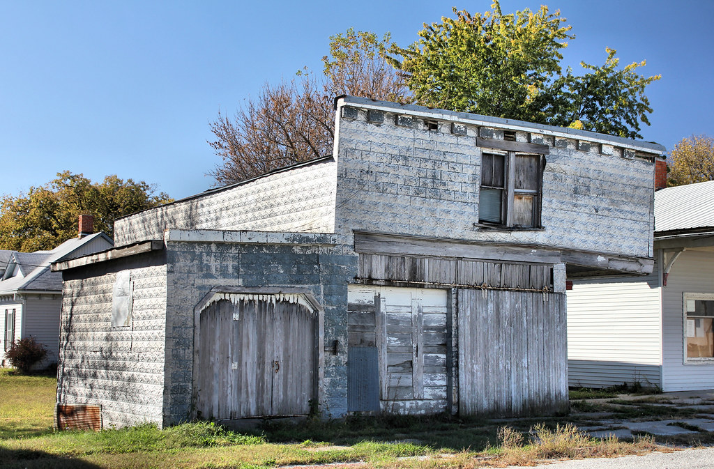
Garage - Corning, KS
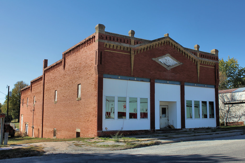
Downtown Building - Corning, KS
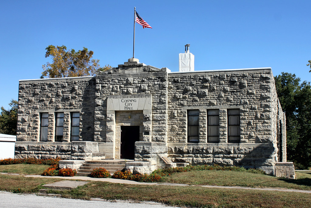
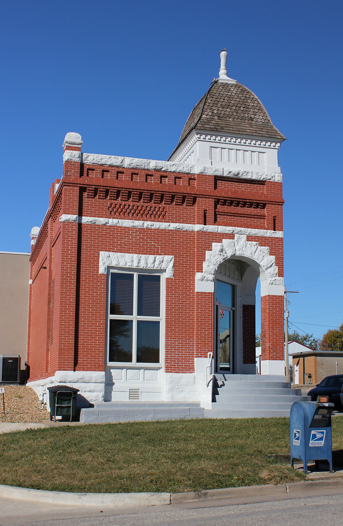
City Hall - Corning, KS
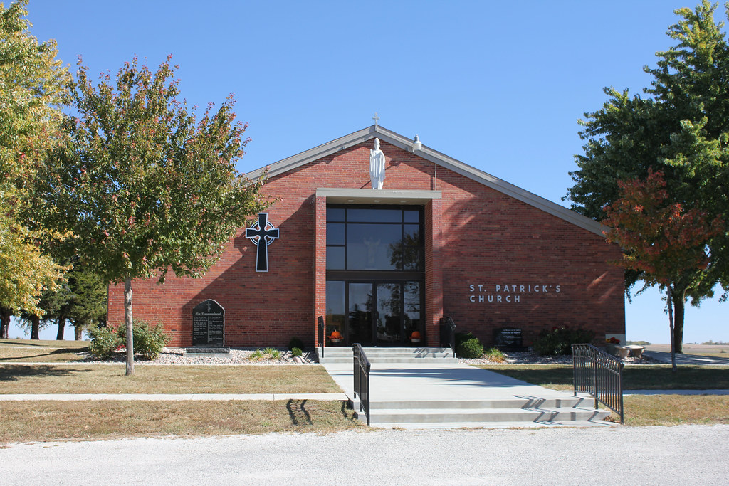
St. Patrick's Catholic Church - Corning, KS
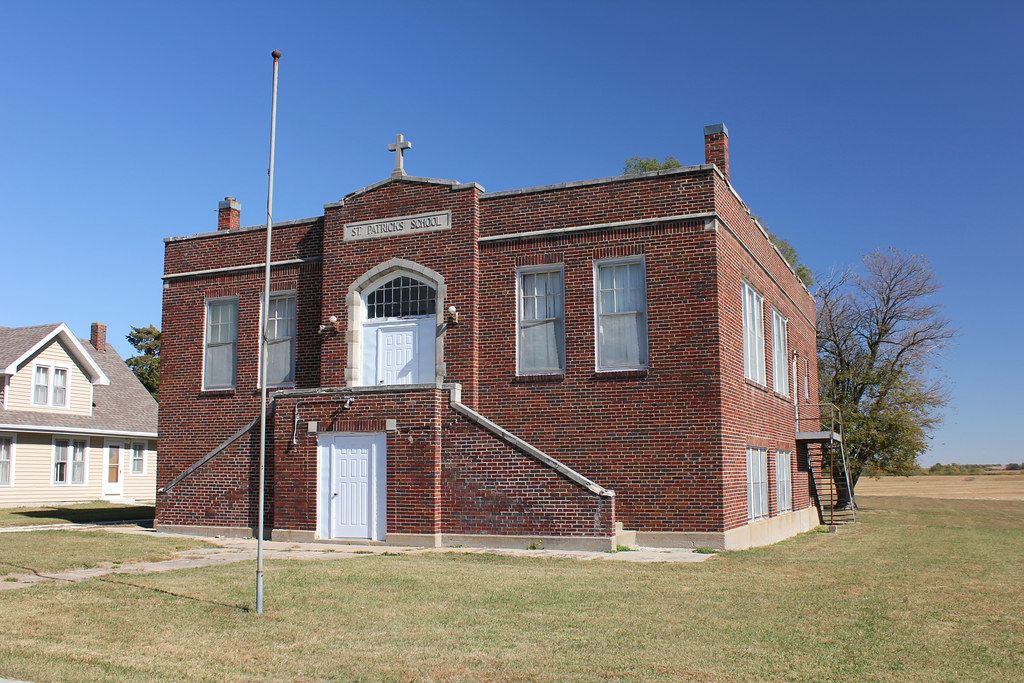
St. Patrick's Catholic School - Corning, KS

St. Patrick's Catholic School - Corning, KS
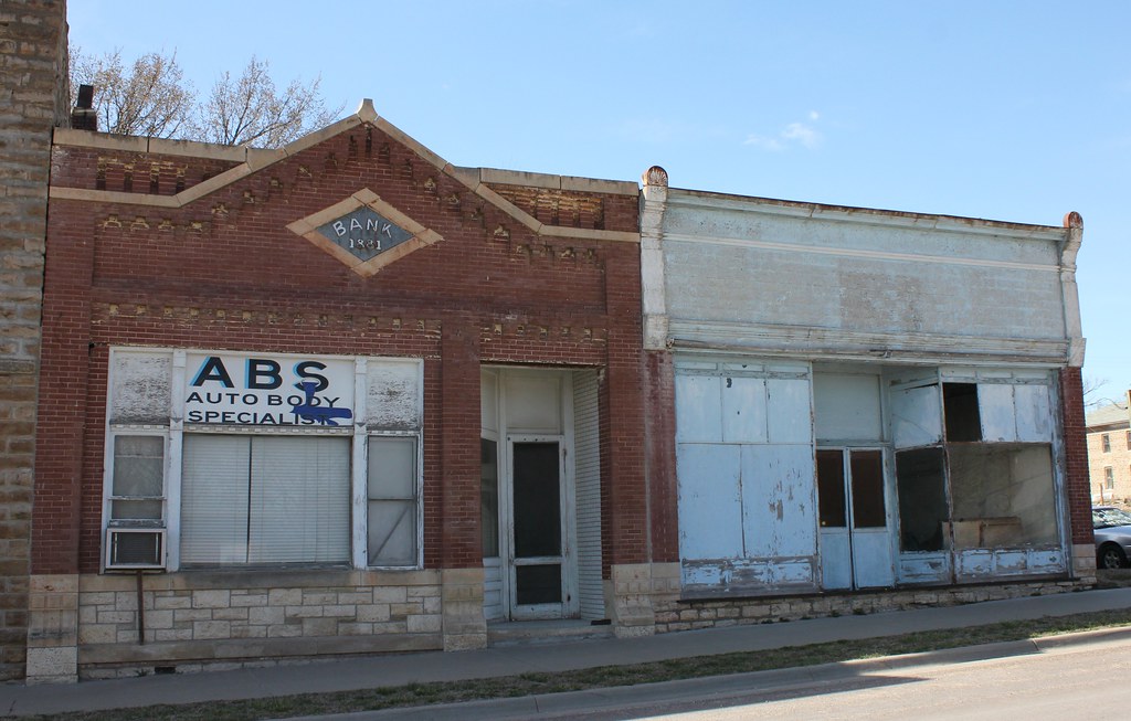
Farmers State Bank Building - Corning, KS
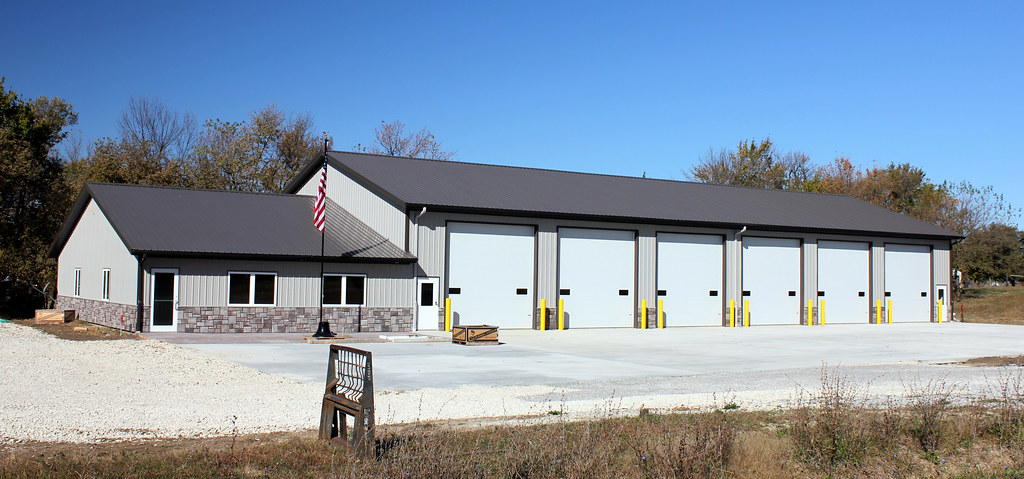
Fire Station - Corning, KS
Abandoned Church - rural Corning, KS
Abandoned Church - rural Corning, KS

Pitcher Bros. Building - Havensville, KS
Downtown Buildings - Havensville, KS

School Garage - Havensville, KS
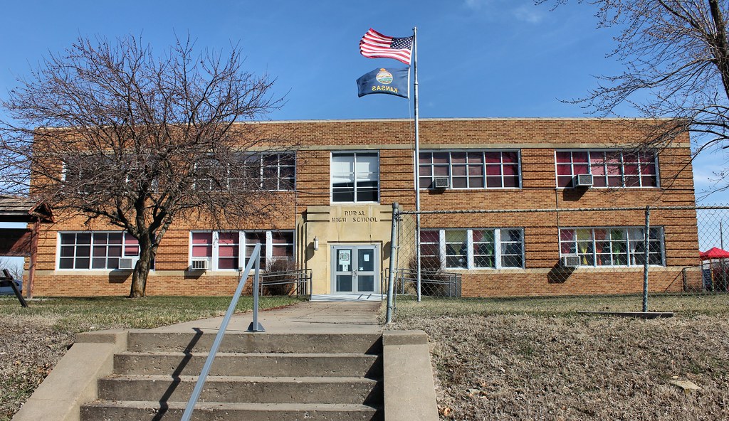
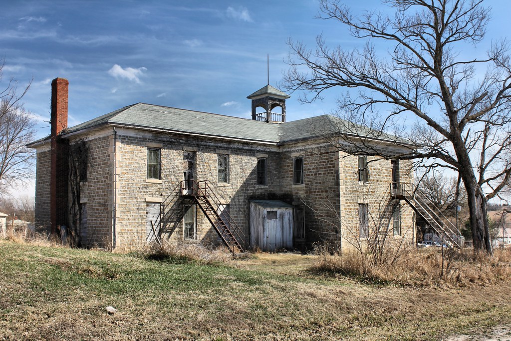
Rural High School - Havensville, KS
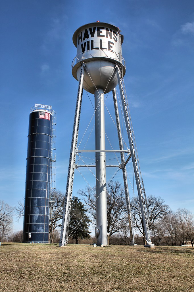
Water Tower - Havensville, KS
Public School - Havensville, KS
Topographic Map of 2nd St, Soldier, KS, USA
Find elevation by address:

Places near 2nd St, Soldier, KS, USA:
Pottawatomie St, Soldier, KS, USA
Havensville
Grant
Stahl Ave, Goff, KS, USA
Goff
Corning
5th St, Corning, KS, USA
Harrison
21377 K Rd
Banner
Jackson County
Banner Creek Science Center, Inc.
Illinois
17857 Day Rd
Granada
Nemaha County
Leonard St, Onaga, KS, USA
Onaga
Mill Creek
Netawaka
Recent Searches:
- Elevation of Corso Fratelli Cairoli, 35, Macerata MC, Italy
- Elevation of Tallevast Rd, Sarasota, FL, USA
- Elevation of 4th St E, Sonoma, CA, USA
- Elevation of Black Hollow Rd, Pennsdale, PA, USA
- Elevation of Oakland Ave, Williamsport, PA, USA
- Elevation of Pedrógão Grande, Portugal
- Elevation of Klee Dr, Martinsburg, WV, USA
- Elevation of Via Roma, Pieranica CR, Italy
- Elevation of Tavkvetili Mountain, Georgia
- Elevation of Hartfords Bluff Cir, Mt Pleasant, SC, USA