Elevation of 2nd St, Corning, AR, USA
Location: United States > Arkansas > Clay County > Bennett-lemmons Township > Mcdougal >
Longitude: -90.391870
Latitude: 36.4405576
Elevation: 92m / 302feet
Barometric Pressure: 100KPa
Elevation Map:
Satellite Map:
Related Photos:
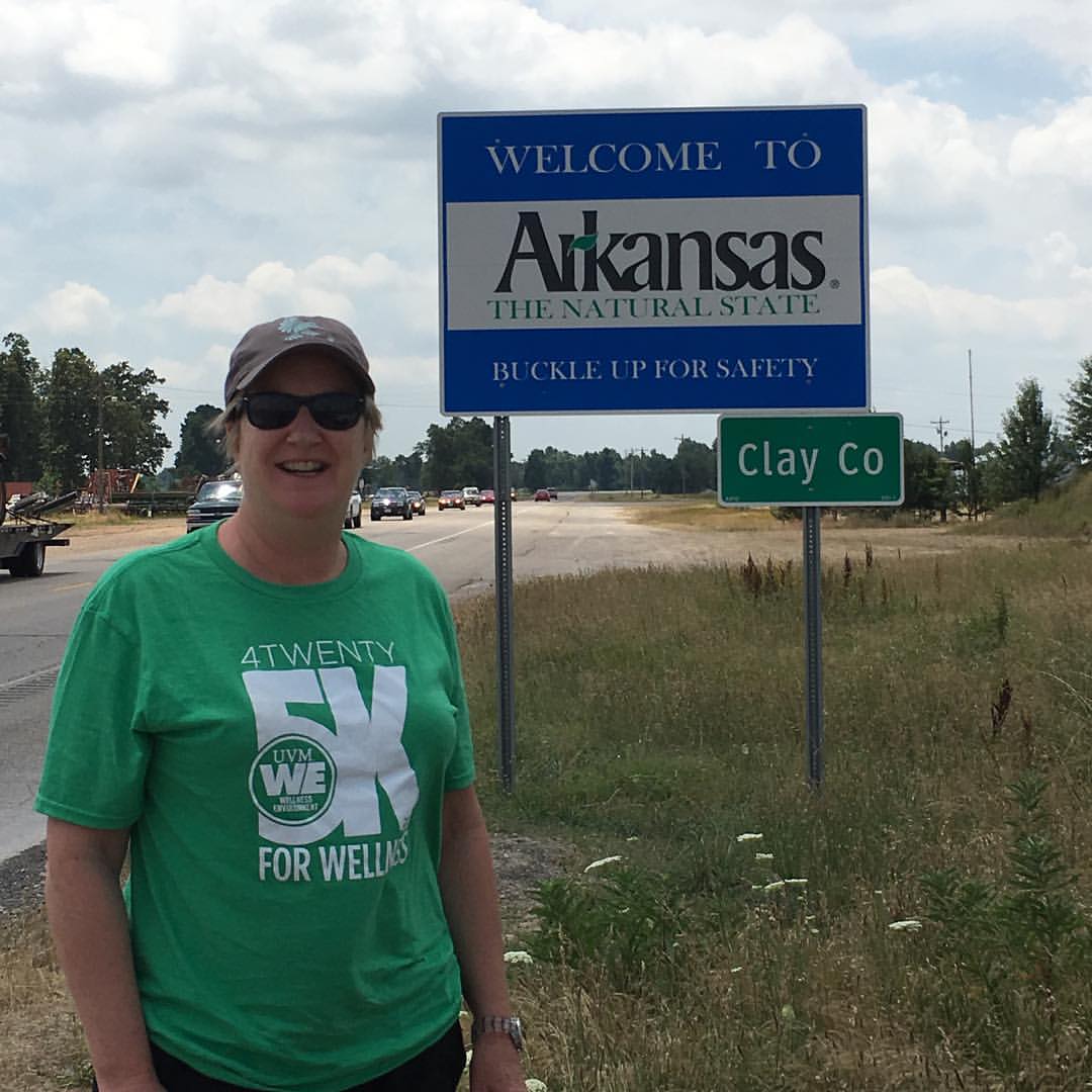
State #49 for Beth! 3.5 hours from Petit Jean State park.
Asian looking Pants + Arkansas
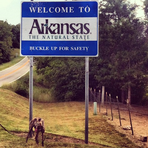
Welcome to Arkansas - The Natural State
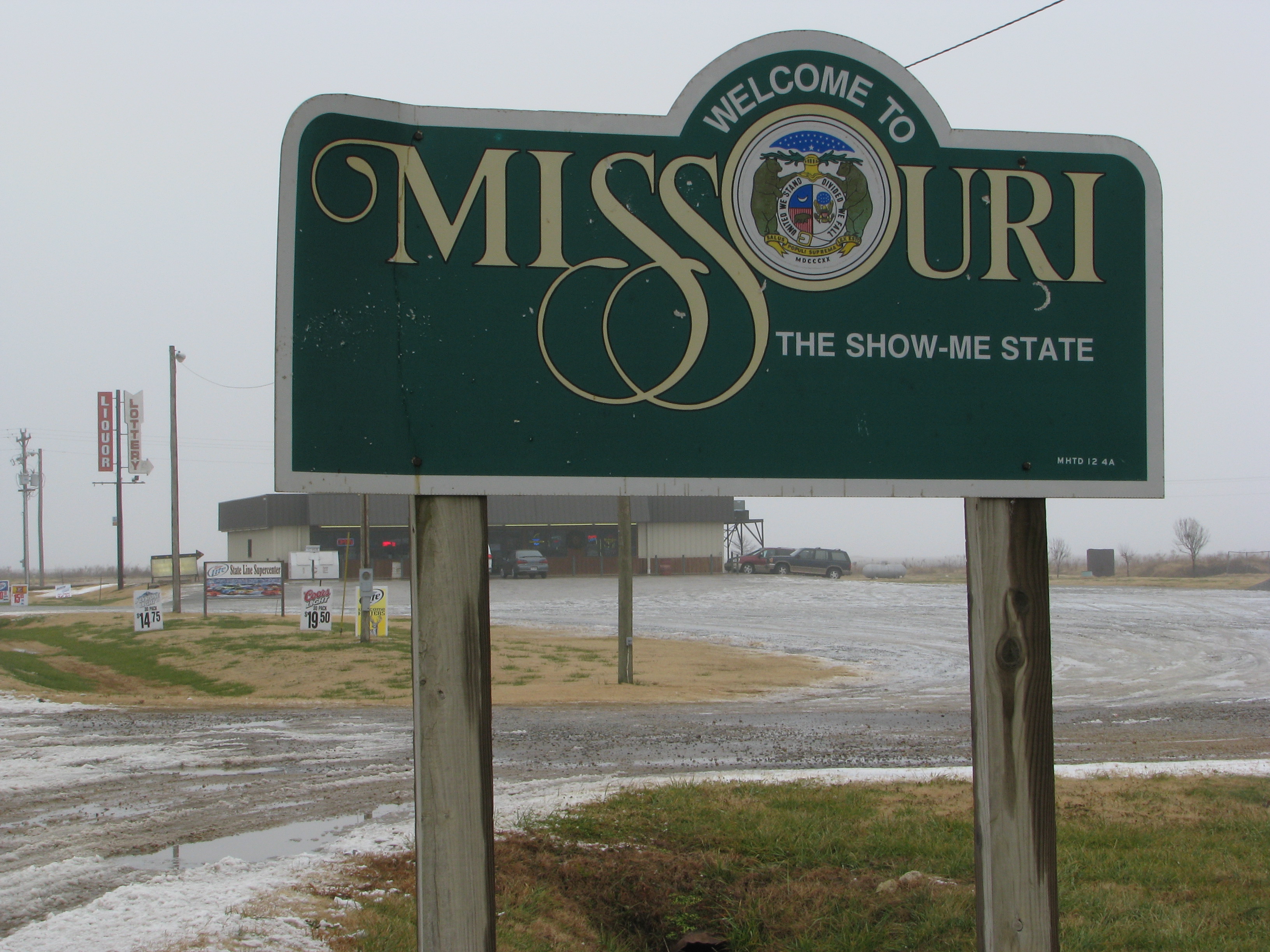
Liquor Lottery Missouri

Liquor, Lottery, Missouri
Topographic Map of 2nd St, Corning, AR, USA
Find elevation by address:

Places near 2nd St, Corning, AR, USA:
Mcdougal
Bennett-lemmons Township
Co Rd, Corning, AR, USA
Co Rd, Rector, AR, USA
Clay County
County Road 453
Co Rd, Rector, AR, USA
Co Rd, Rector, AR, USA
Pollard Township
Johnson Township
976 Co Rd 475
Cleveland-north Kilgore Township
Bradshaw-haywood Township
West Oak Bluff Township
Corning
W Elm St, Corning, AR, USA
AR-, Knobel, AR, USA
County Road 478
845 Sugar Creek Ln
875 Lamb Dr
Recent Searches:
- Elevation of Felindre, Swansea SA5 7LU, UK
- Elevation of Leyte Industrial Development Estate, Isabel, Leyte, Philippines
- Elevation of W Granada St, Tampa, FL, USA
- Elevation of Pykes Down, Ivybridge PL21 0BY, UK
- Elevation of Jalan Senandin, Lutong, Miri, Sarawak, Malaysia
- Elevation of Bilohirs'k
- Elevation of 30 Oak Lawn Dr, Barkhamsted, CT, USA
- Elevation of Luther Road, Luther Rd, Auburn, CA, USA
- Elevation of Unnamed Road, Respublika Severnaya Osetiya — Alaniya, Russia
- Elevation of Verkhny Fiagdon, North Ossetia–Alania Republic, Russia