Elevation of 2 Thomson Rd, Esko, MN, USA
Location: United States > Minnesota > Carlton County >
Longitude: -92.362808
Latitude: 46.7062833
Elevation: 359m / 1178feet
Barometric Pressure: 97KPa
Elevation Map:
Satellite Map:
Related Photos:
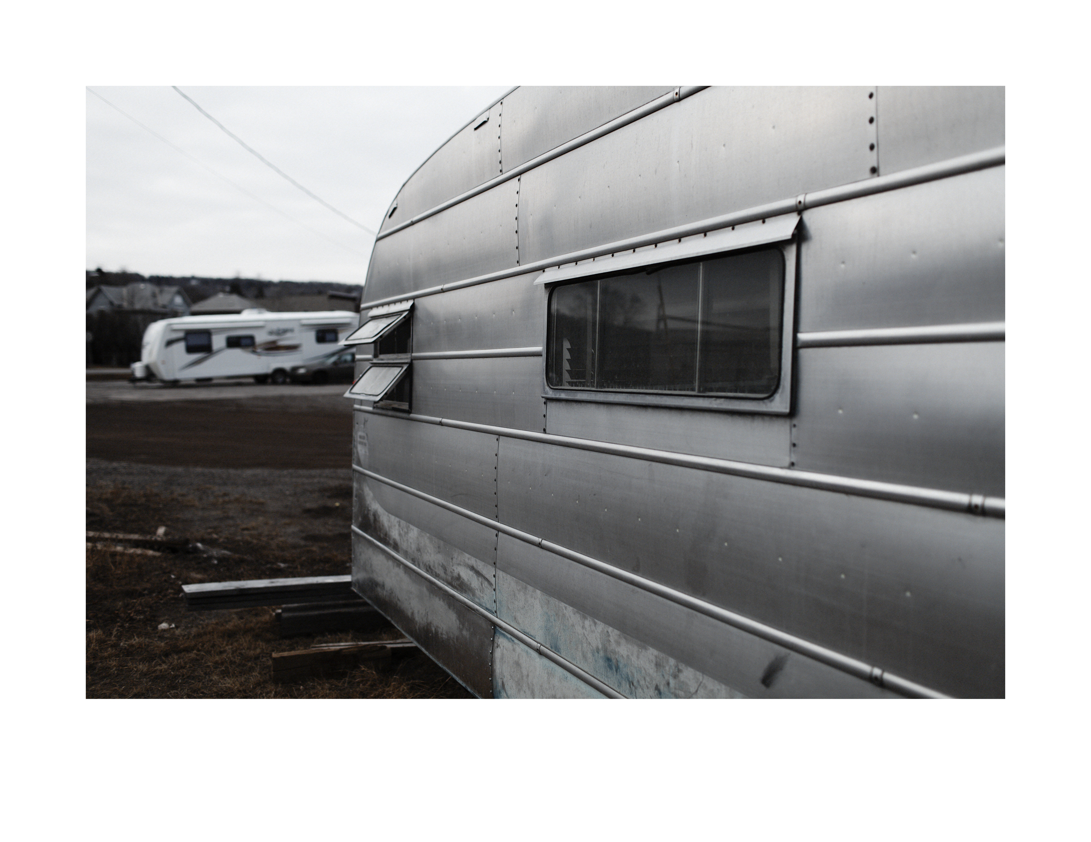
Salvage camper trailer evening, alternate view
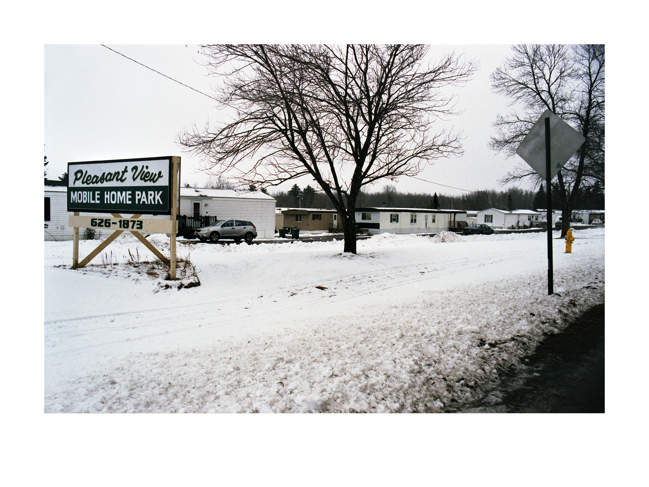
Pleasant View Mobile Home Park

Bird bath, 2 views
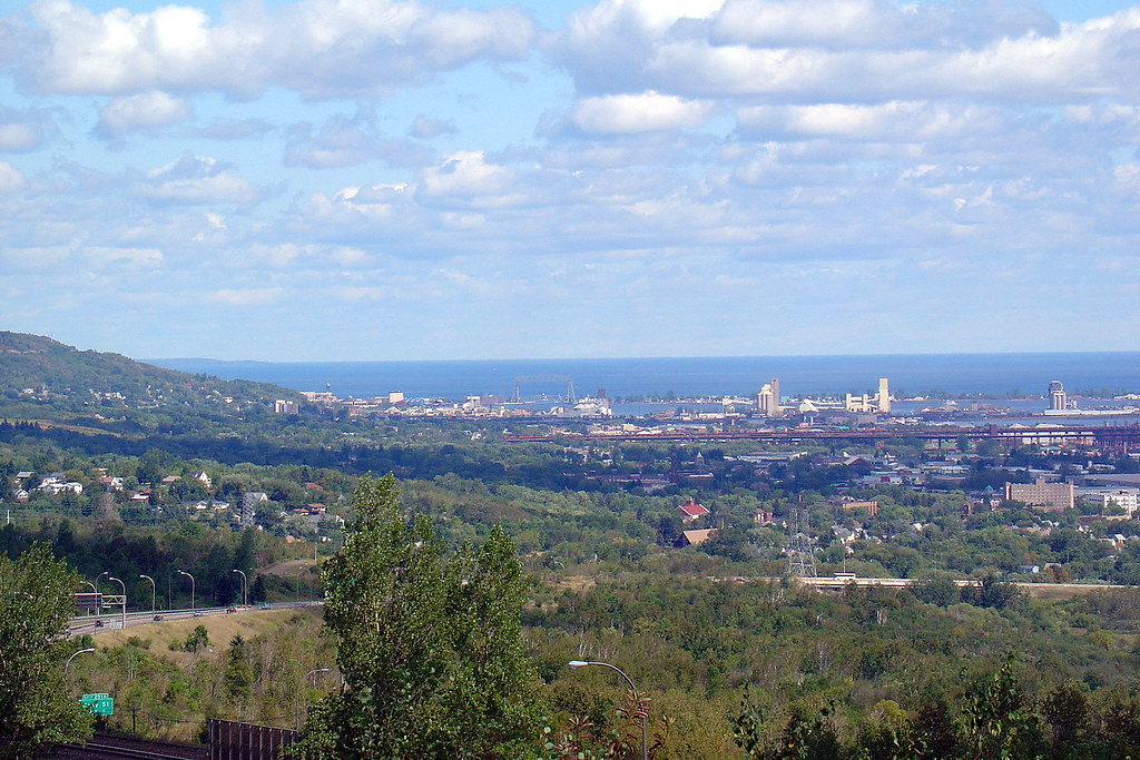
View from Mike Colalillo Medal of Honor Park
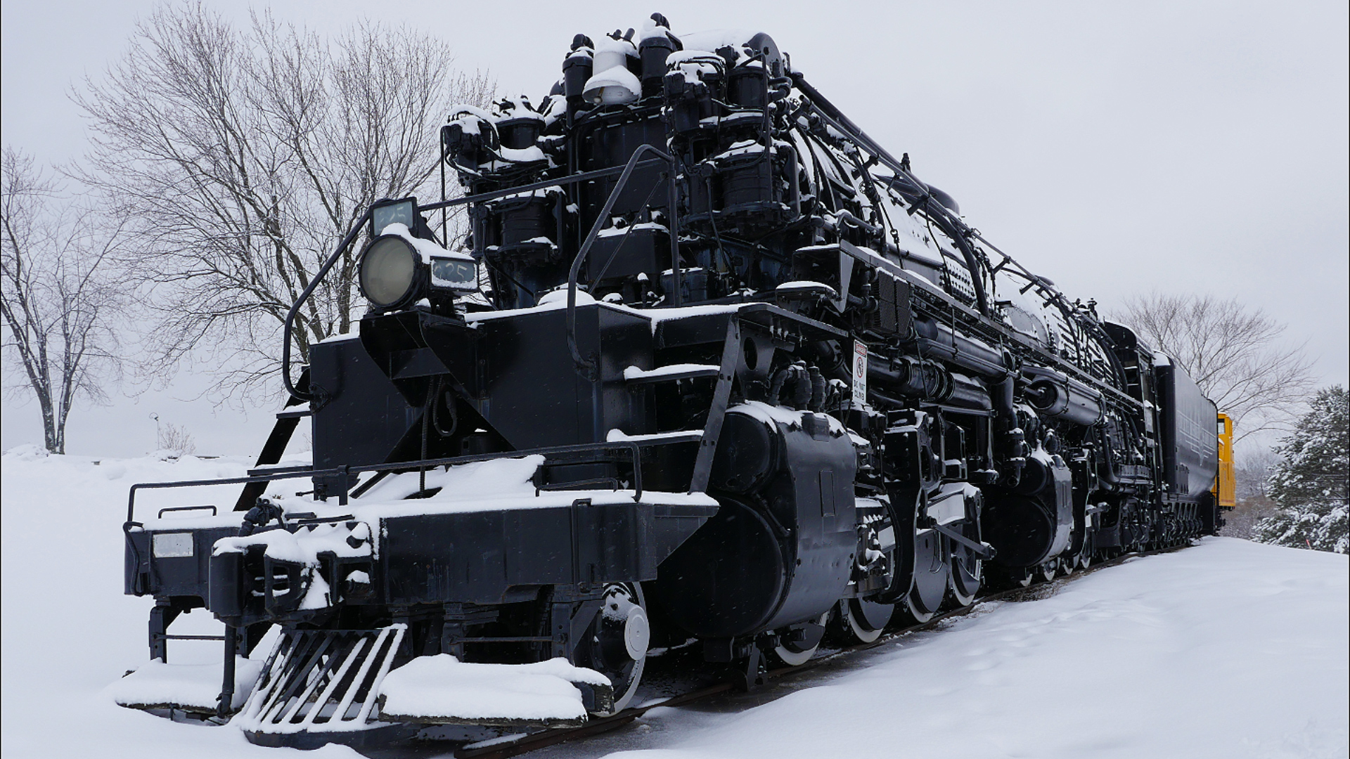
DM&IR 225 Steam Train In The Snow!

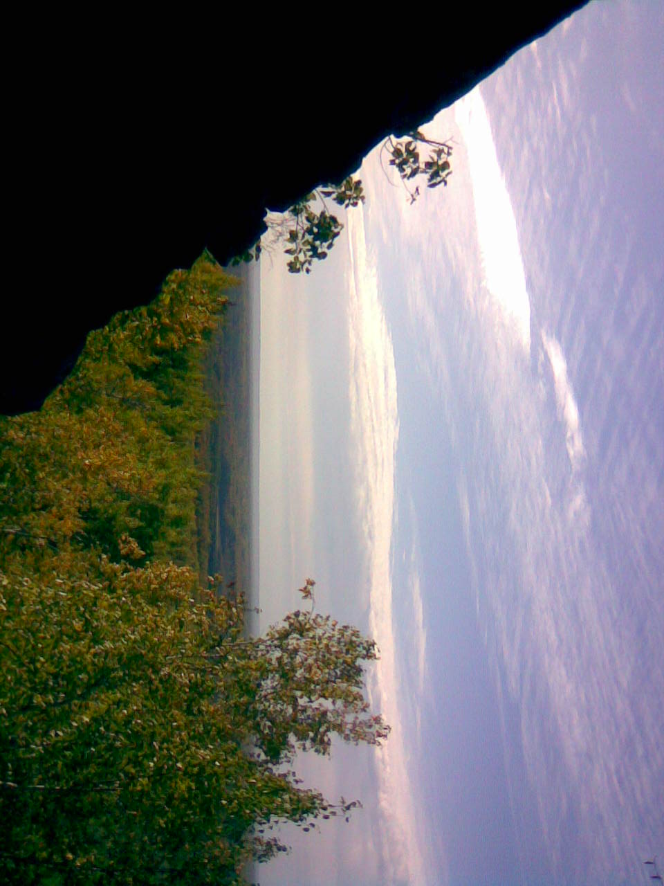
River View
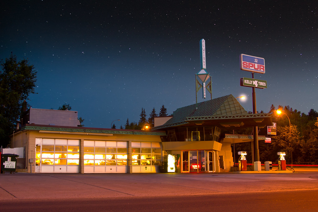
R. W. Lindholm Service Station (Frank Lloyd Wright)
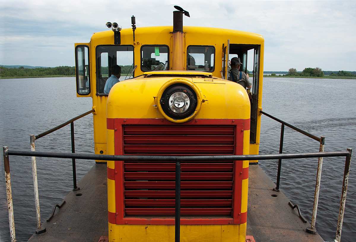
The Floating GE
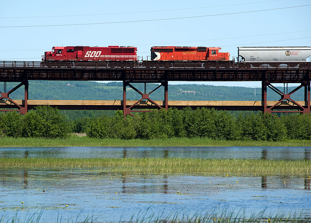
Soo 6044 Oliver Bridge

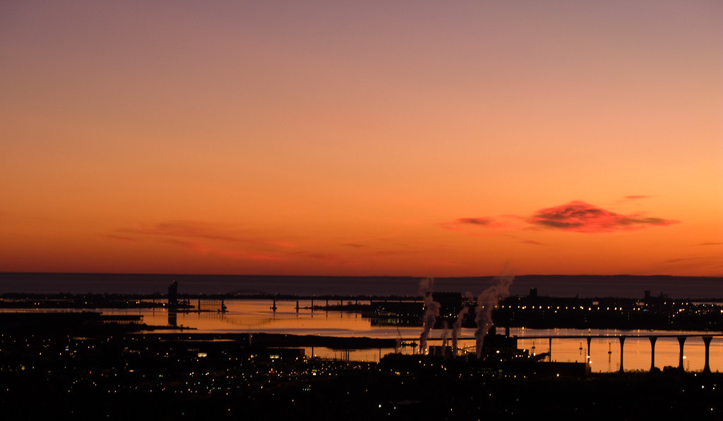
Duluth at Dusk
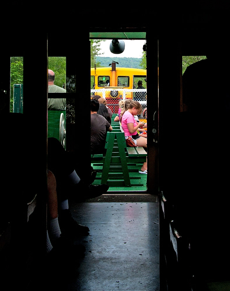
Car 29
Duluth & Lake Superior, 7 Sept 2007
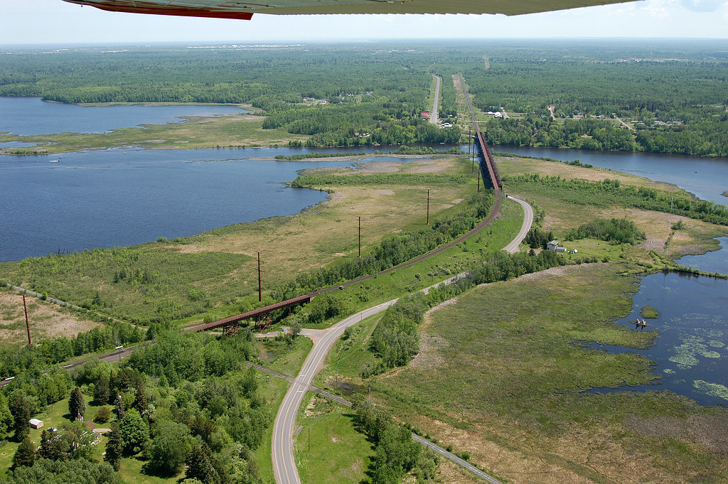
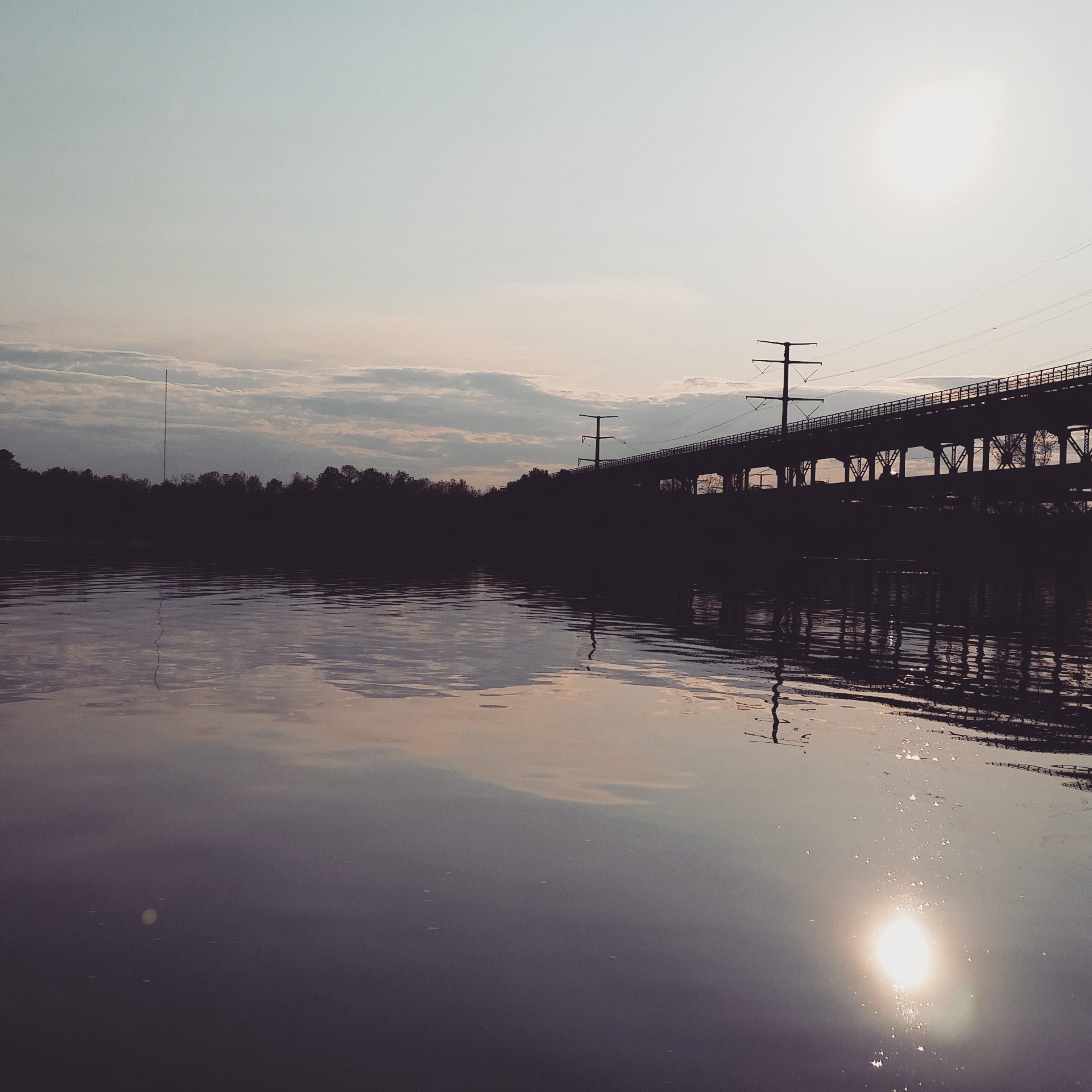
Oliver Bridge

CTRR 31

Small urban creek
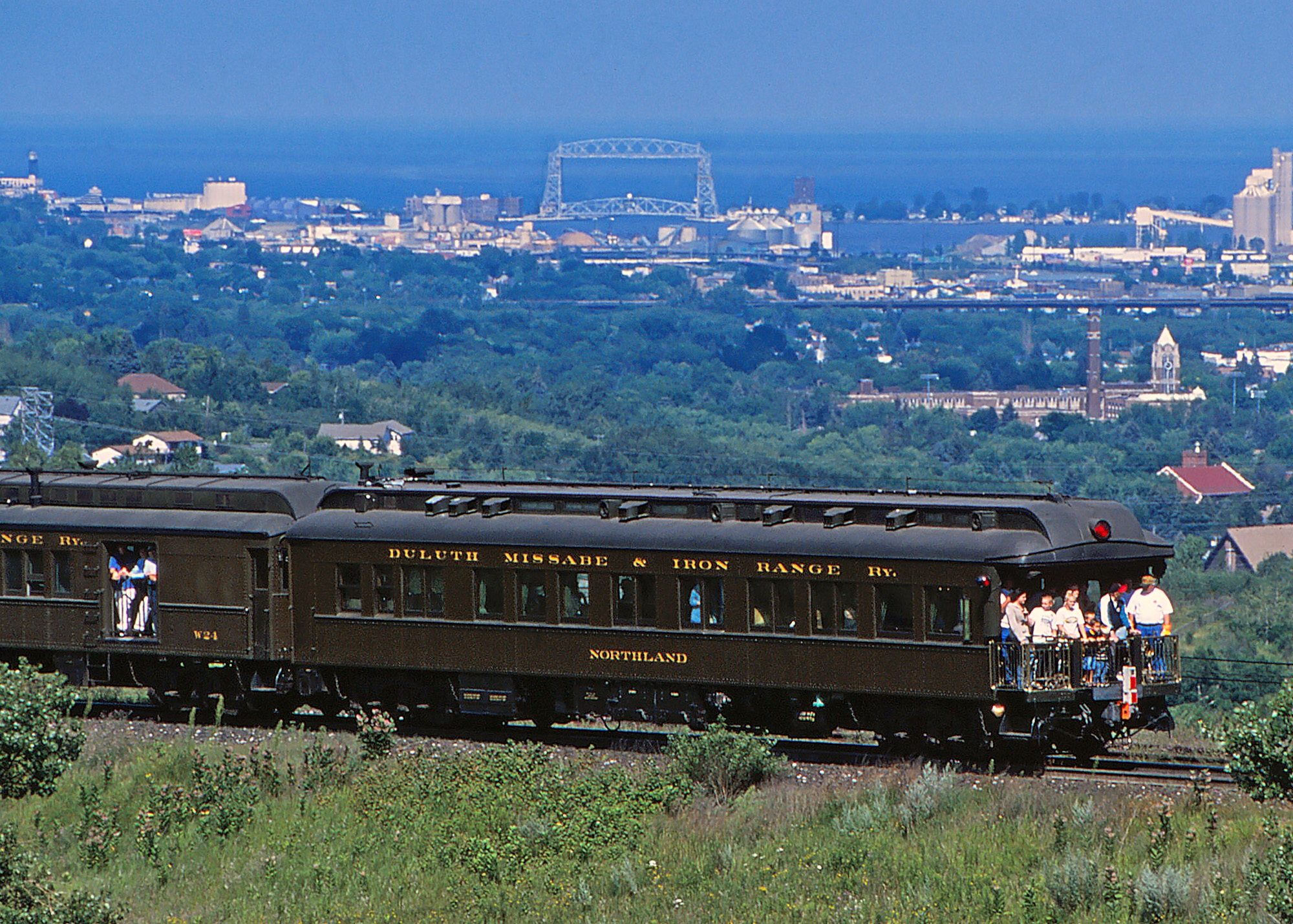
Varnish with a View
Rear View Detail
IMG_3134.jpg

Jay Cooke State Park Landscape
View from top of Ely's Peak tunnel

Jay Cooke State Park Landscape
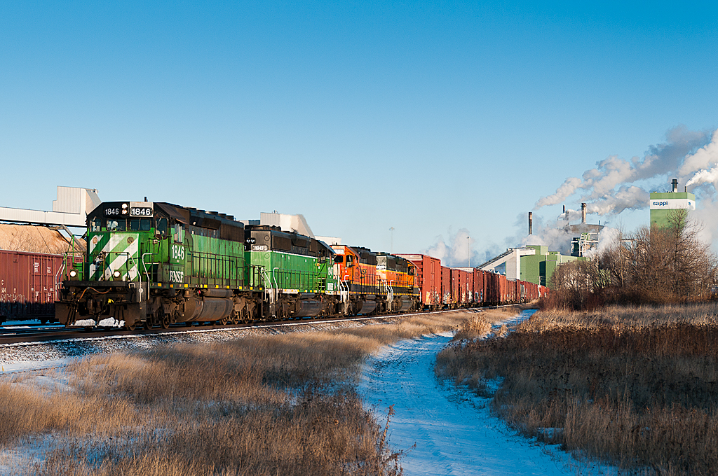
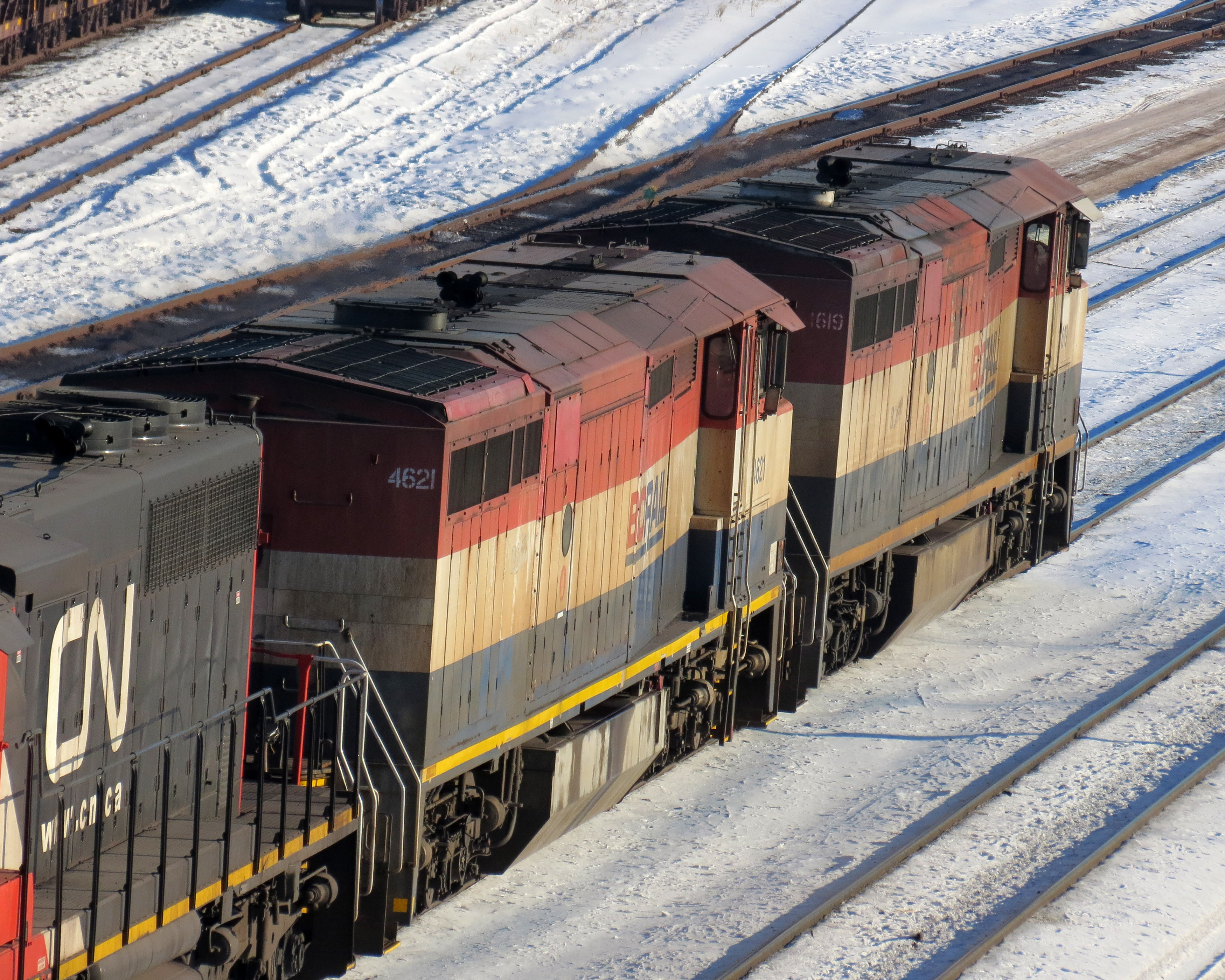
BNSF 1846 Sappi
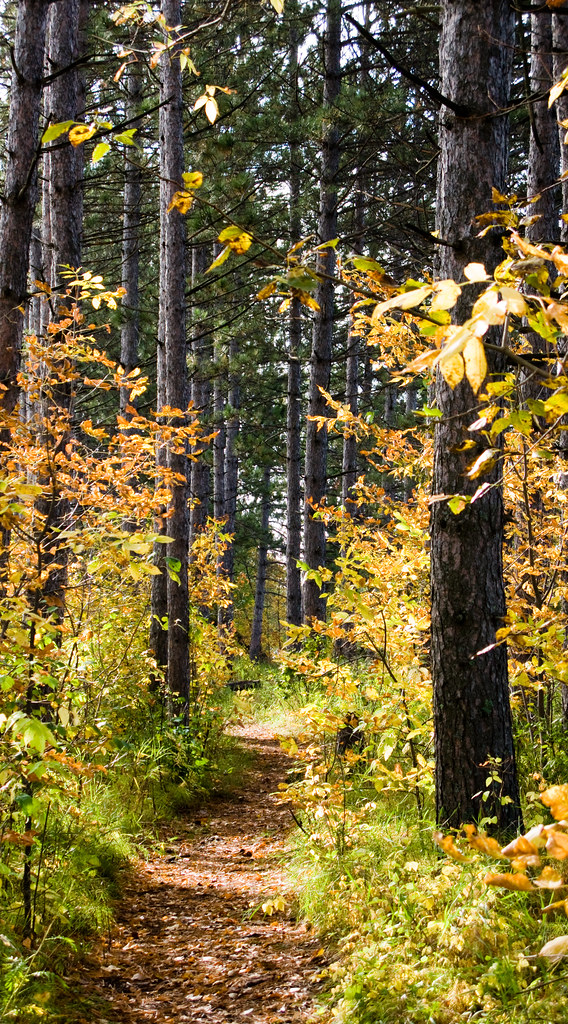
Autumn landscape
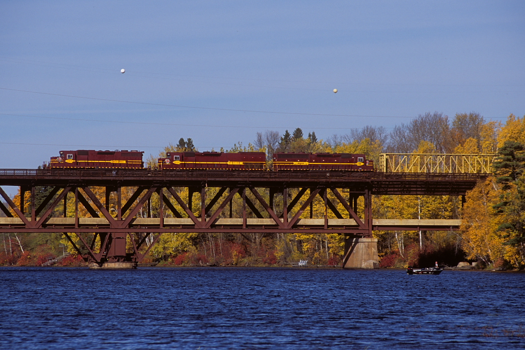
Oliver Bridge

SD60 on the Oliver Bridge

St Louis River after the Storm
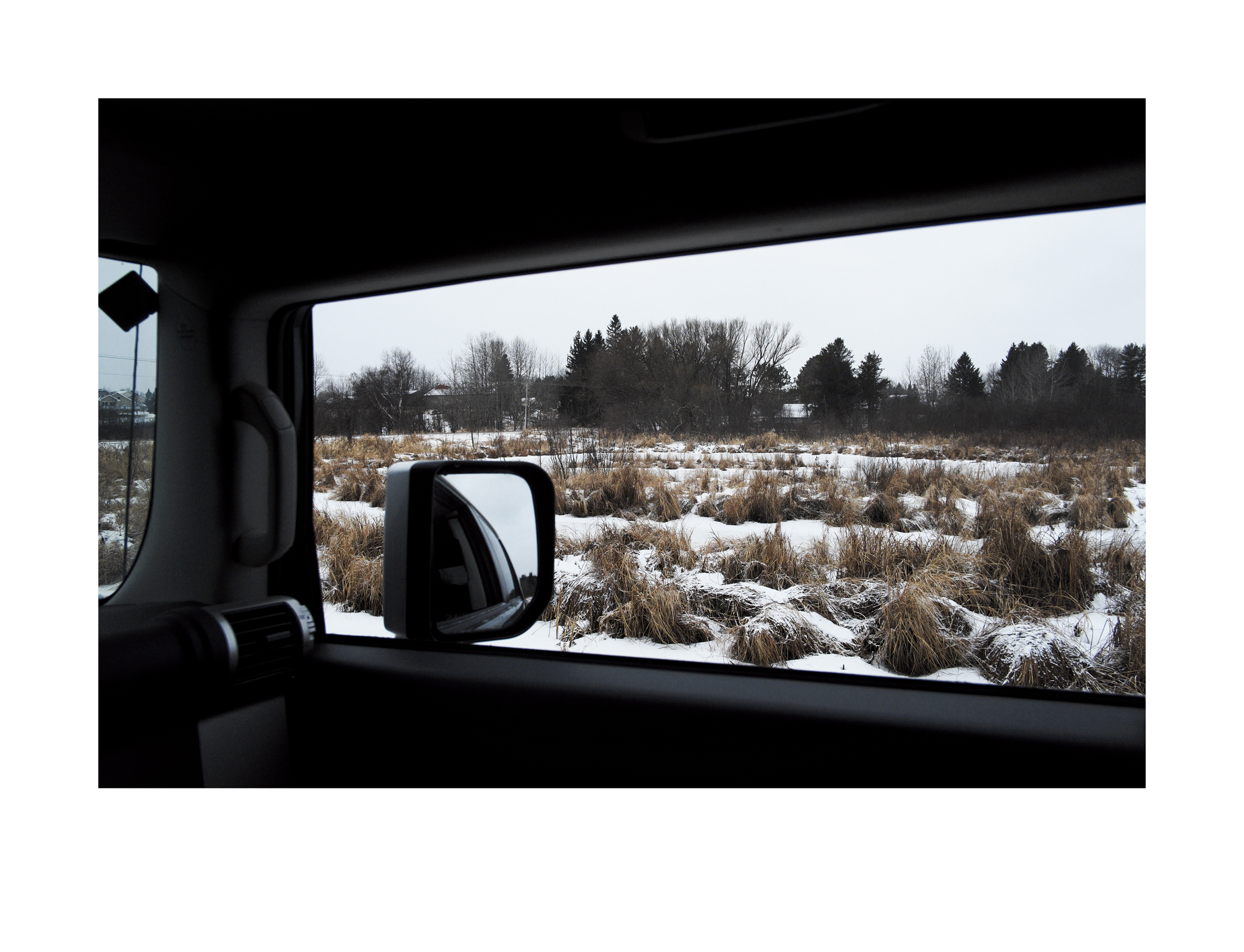
Wetlands in Winter
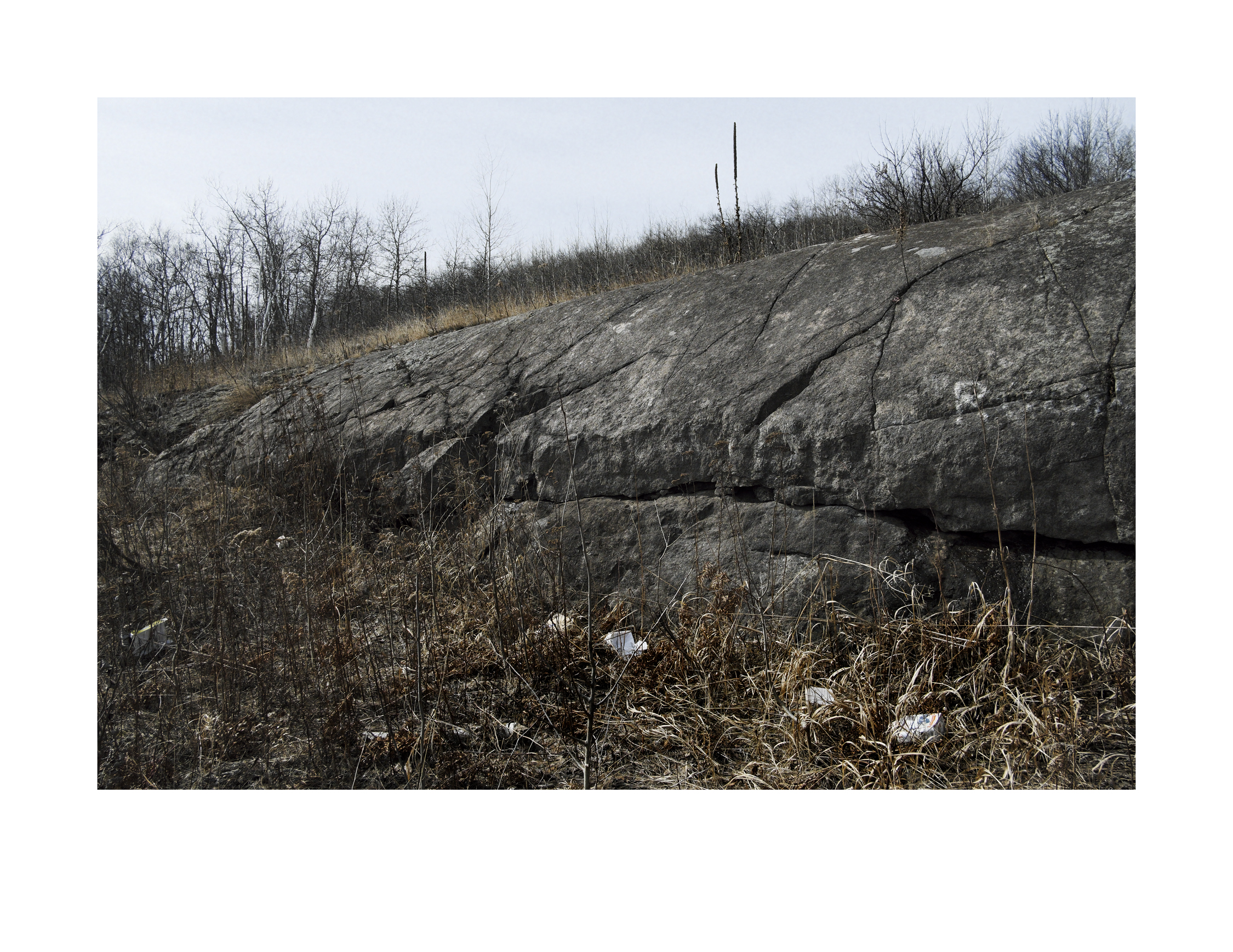
Duluth Gabbro outcropping along the Scenic Skyline Parkway
IMG_2792-1.jpg
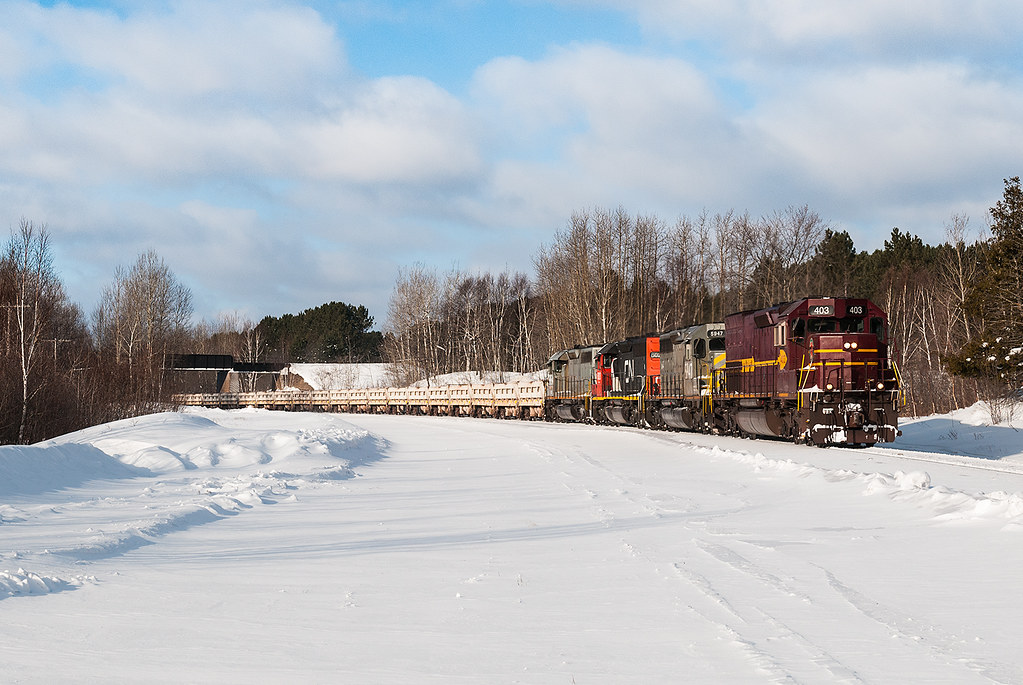
DM&IR 403 at Munger
st. louis river
IMG_2577-1.jpg
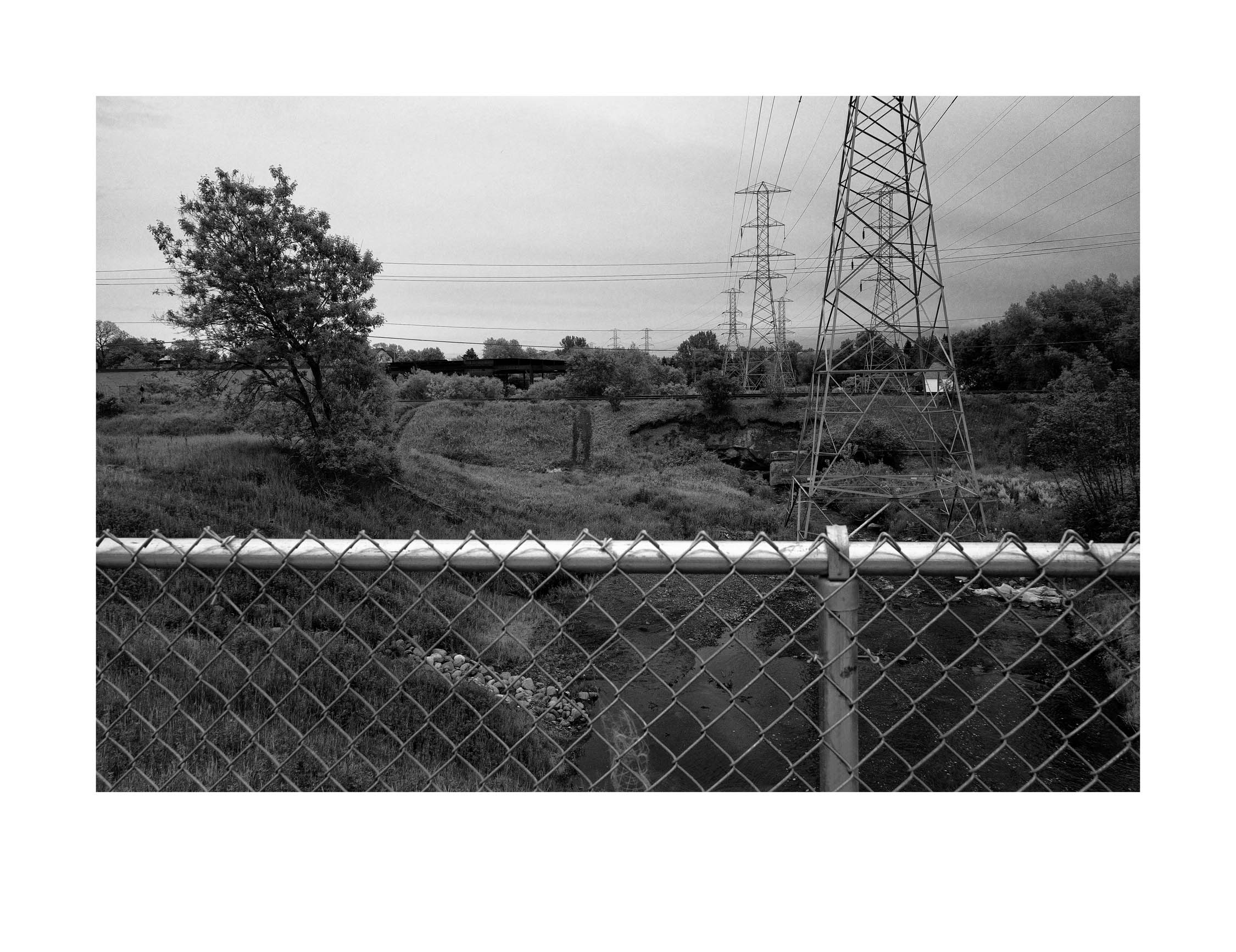
A small urban creek

Along Keene Creek

Coal docks & harbor side industrial area
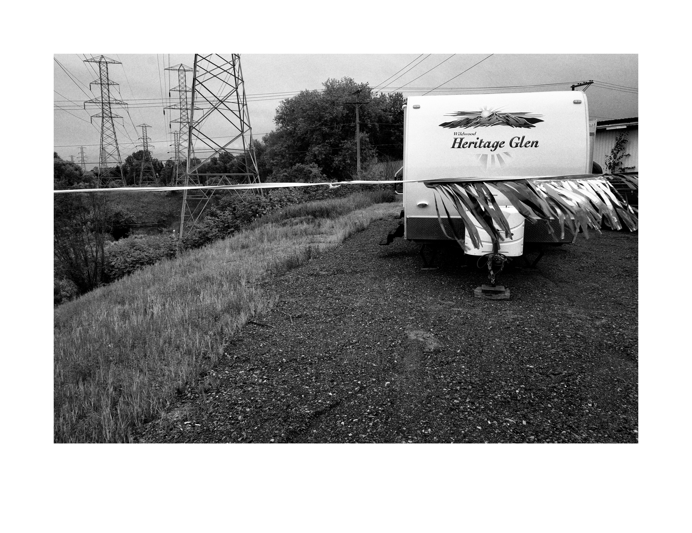
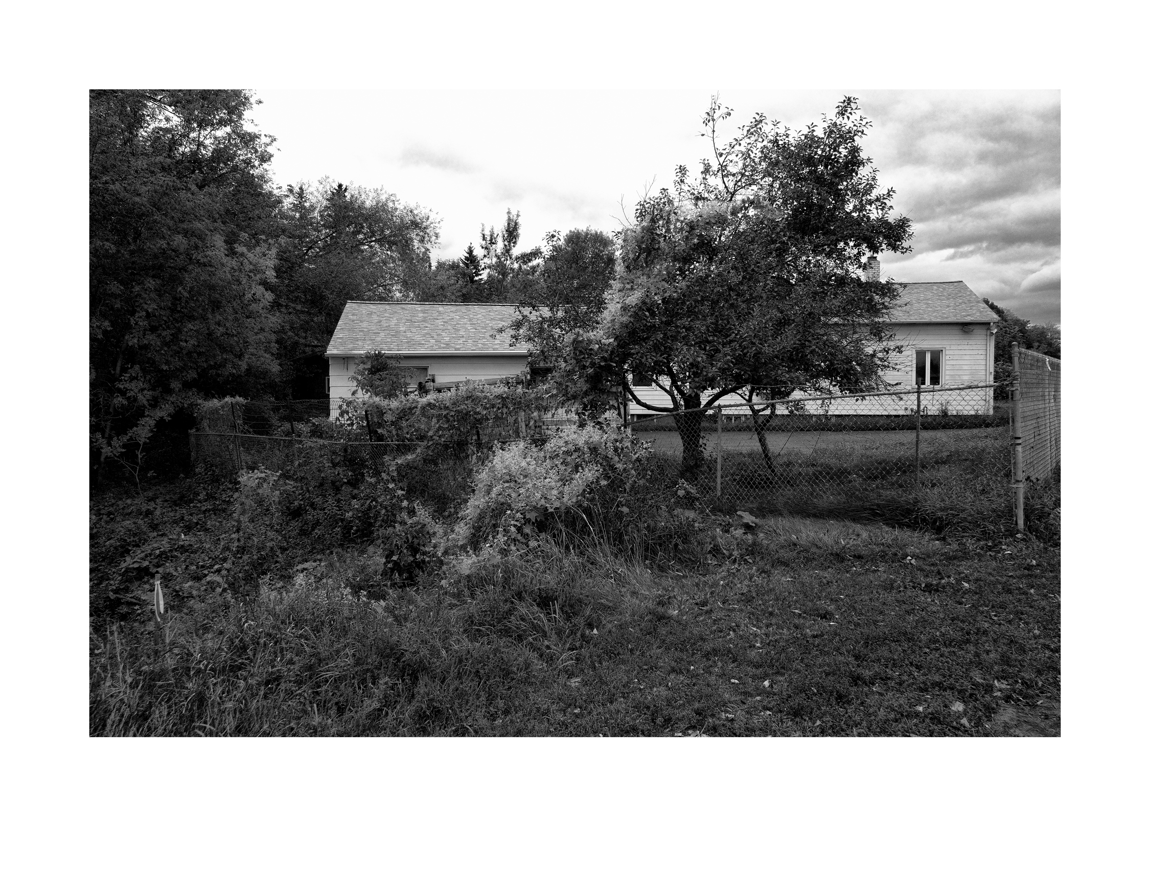
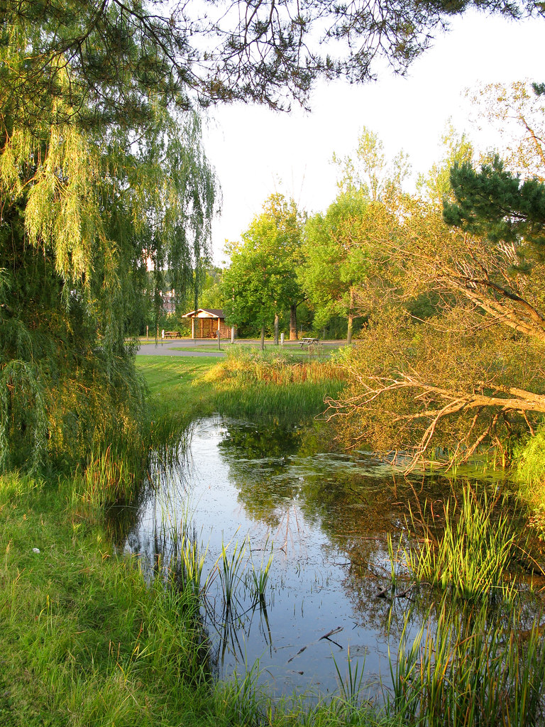
Wildwood Heritage Glen

Jay Cooke State Park, Thomson, MN

Jay Cooke State Park, Thomson, MN

Jay Cook State Park Landscape
Topographic Map of 2 Thomson Rd, Esko, MN, USA
Find elevation by address:

Places near 2 Thomson Rd, Esko, MN, USA:
10 Farmstead Rd
Thomson
Dalles Ave, Carlton, MN, USA
3rd St, Carlton, MN, USA
Carlton
1201 Industry Ave
Pioneer Dr, Wrenshall, MN, USA
Wrenshall
Midway Township
Cloquet Ave, Cloquet, MN, USA
W 2nd St, Duluth, MN, USA
Ely's Peak
2998 Shannon Rd
Riverside
Proctor
5th St, Proctor, MN, USA
15 E Peary St, Duluth, MN, USA
Spirit Mountain Place
87th Ave W, Duluth, MN, USA
Bayview
Recent Searches:
- Elevation of Lampiasi St, Sarasota, FL, USA
- Elevation of Elwyn Dr, Roanoke Rapids, NC, USA
- Elevation of Congressional Dr, Stevensville, MD, USA
- Elevation of Bellview Rd, McLean, VA, USA
- Elevation of Stage Island Rd, Chatham, MA, USA
- Elevation of Shibuya Scramble Crossing, 21 Udagawacho, Shibuya City, Tokyo -, Japan
- Elevation of Jadagoniai, Kaunas District Municipality, Lithuania
- Elevation of Pagonija rock, Kranto 7-oji g. 8"N, Kaunas, Lithuania
- Elevation of Co Rd 87, Jamestown, CO, USA
- Elevation of Tenjo, Cundinamarca, Colombia