Elevation of 2 Sunset Dr, Geraldton, ON P0T 1M0, Canada
Location: Canada > Ontario > Thunder Bay District > Greenstone > Geraldton >
Longitude: -86.945376
Latitude: 49.6819234
Elevation: 346m / 1135feet
Barometric Pressure: 97KPa
Elevation Map:
Satellite Map:
Related Photos:
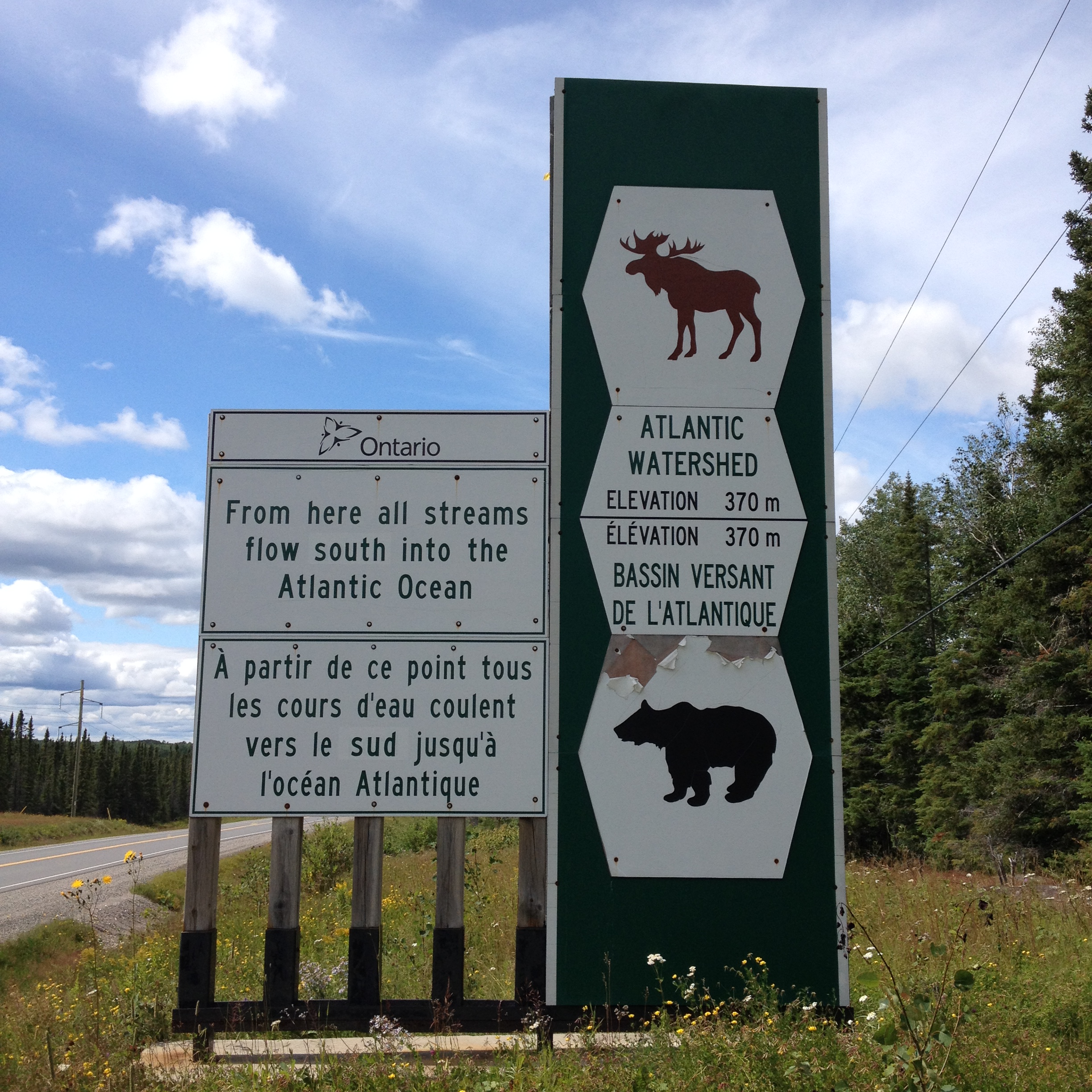
leaving Arctic watershed

Downtown Geraldton, 1936

Downtown Geraldton, 1937

Camera Roll-143
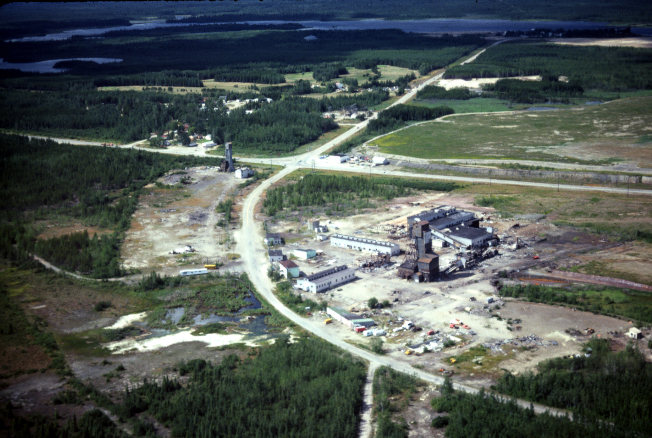
Geraldton Mines, Sept 1979
This bike was brand new a month and a half ago.
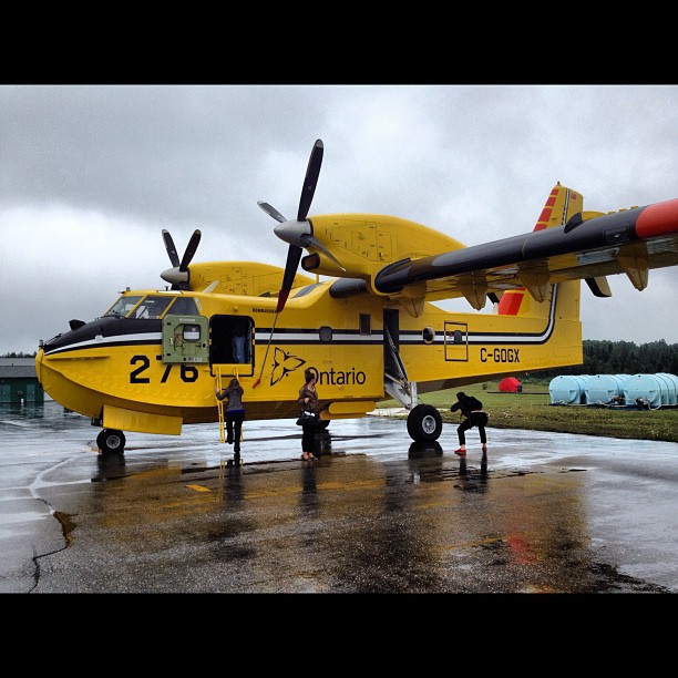
Water Bomber!
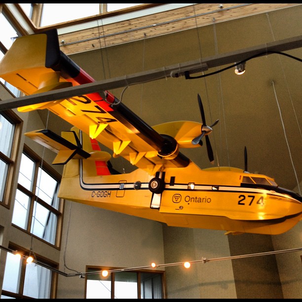
CL-415
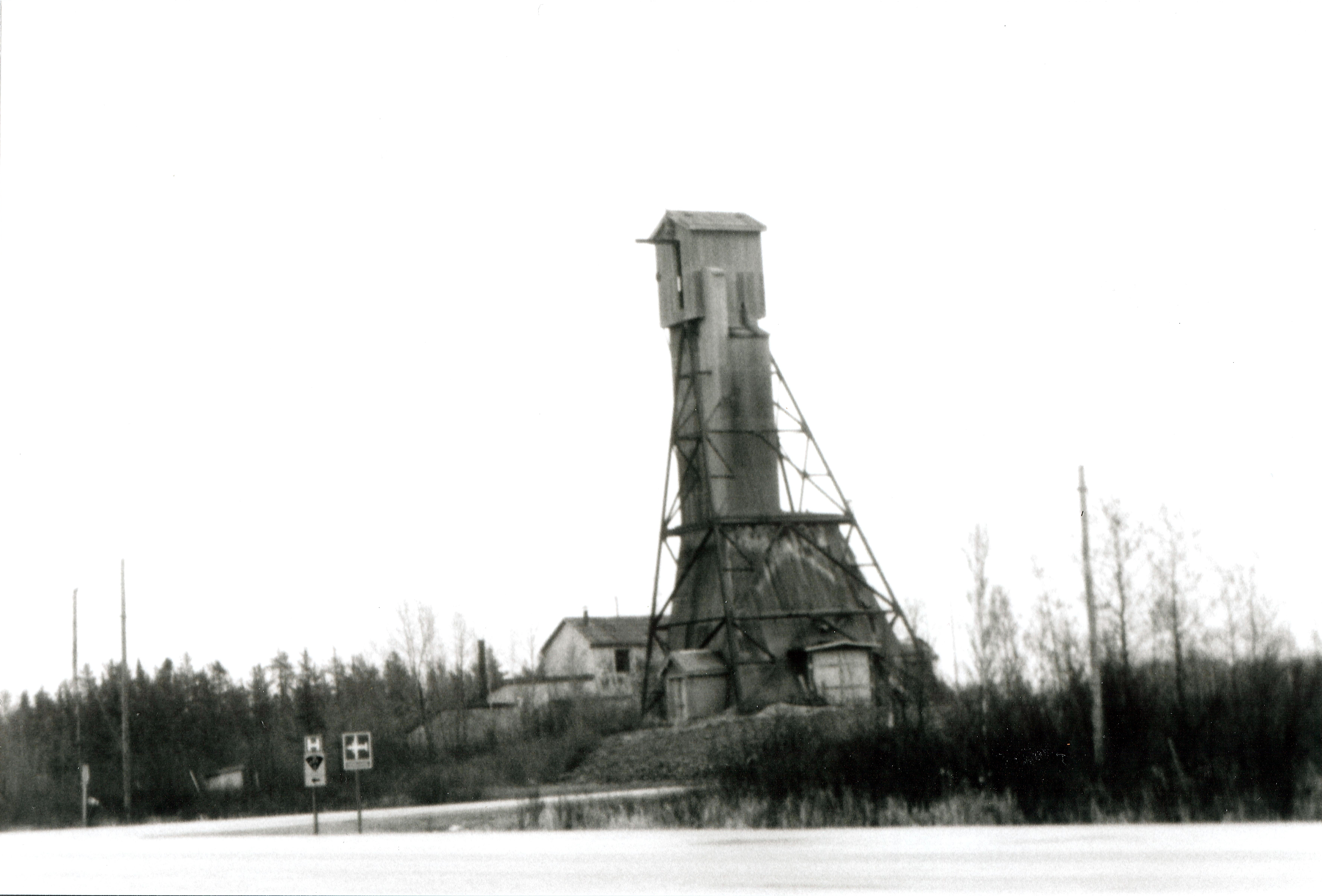
Headframe at Geraldton Ontario
Topographic Map of 2 Sunset Dr, Geraldton, ON P0T 1M0, Canada
Find elevation by address:

Places near 2 Sunset Dr, Geraldton, ON P0T 1M0, Canada:
Macleod
Geraldton Main St, Greenstone, ON P0T, Canada
Geraldton
164 Kenogami Dr
Kenogami Dr, Greenstone, ON P0T, Canada
Northern
Nakina
Caramat
Klotz Lake Camp
Recent Searches:
- Elevation of Thorpe Cir, Thousand Oaks, CA, USA
- Elevation of Eldorado do Sul - RS, Brazil
- Elevation of Eldorado do Sul - Parque Eldorado, Eldorado do Sul - RS, -, Brazil
- Elevation of 35 Governors Ln, Hilton Head Island, SC, USA
- Elevation of Orangevale, CA, USA
- Elevation of Doe Cir, Clinton, OH, USA
- Elevation of Narhe, Pune, Maharashtra, India
- Elevation of Martins Mill Ct, Eagle Rock, NC, USA
- Elevation of Kippen, Stirling FK8, UK
- Elevation of Sieveringer Straße, Sieveringer Str., Wien, Austria