Elevation of 2 E High St, London, OH, USA
Location: United States > Ohio > Madison County >
Longitude: -83.448148
Latitude: 39.8863613
Elevation: 321m / 1053feet
Barometric Pressure: 98KPa
Elevation Map:
Satellite Map:
Related Photos:
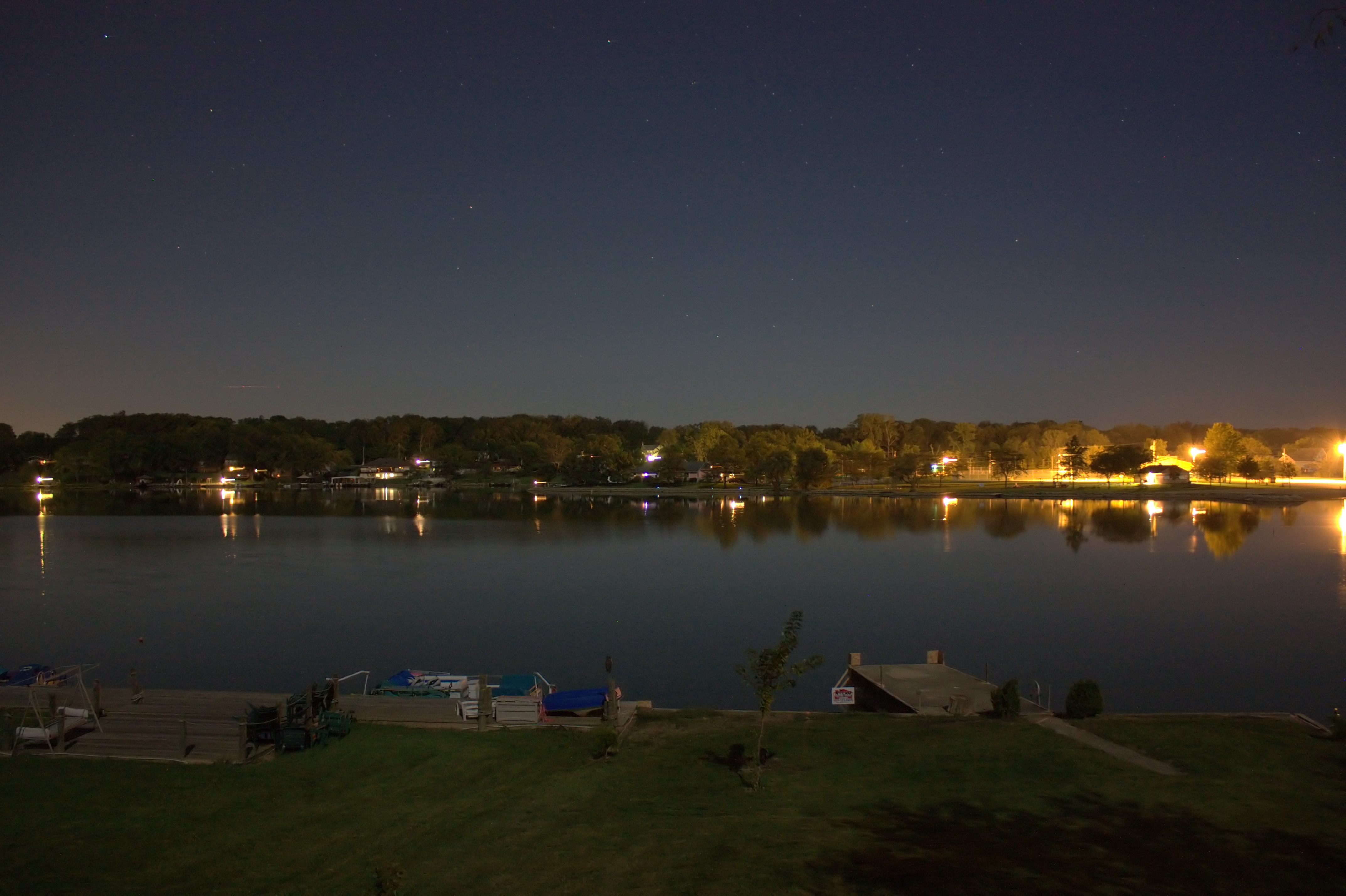
Lake View, 11pm
Plattsburg Cemetery.
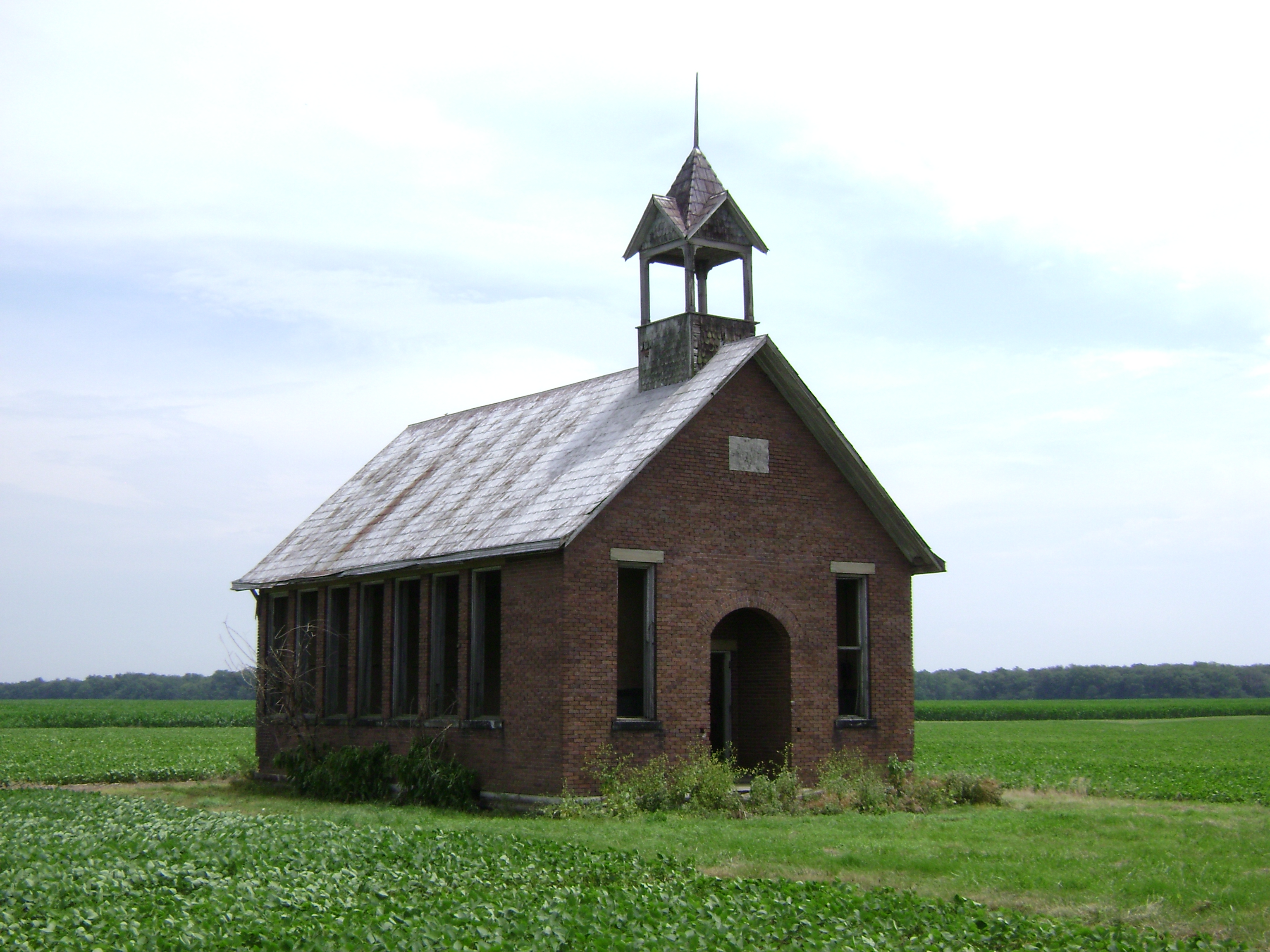
Chrisman, Ohio- Van Wagener Schoolhouse
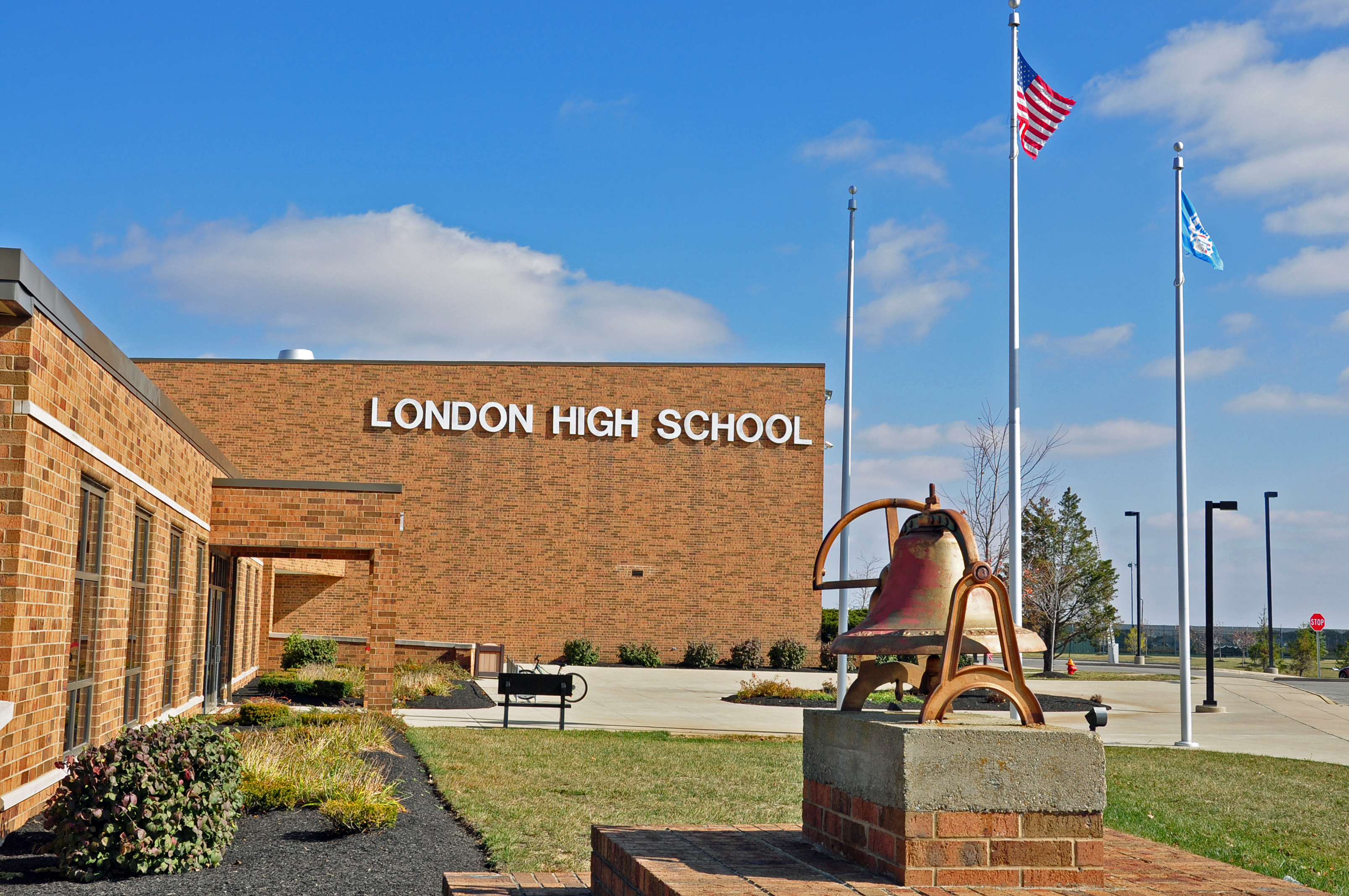
London High School - London, Ohio - 4

View in London
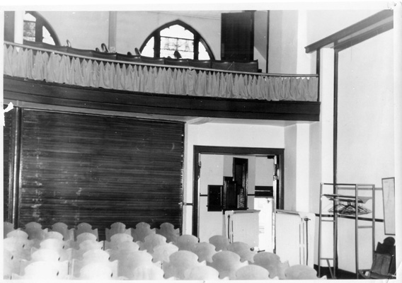
1963 Chapel Balcony View FUMC

Mail Pouch

012 - Copy
Road tripping with Dave Olsen to visit Sparkbox

Road tripping with Dave Olsen to visit Sparkbox
Road tripping with Dave Olsen to visit Sparkbox
Road tripping with Dave Olsen to visit Sparkbox
Road tripping with Dave Olsen to visit Sparkbox

Kirkwood Cemetery-5

Road tripping with Dave Olsen to visit Sparkbox

Road tripping with Dave Olsen to visit Sparkbox
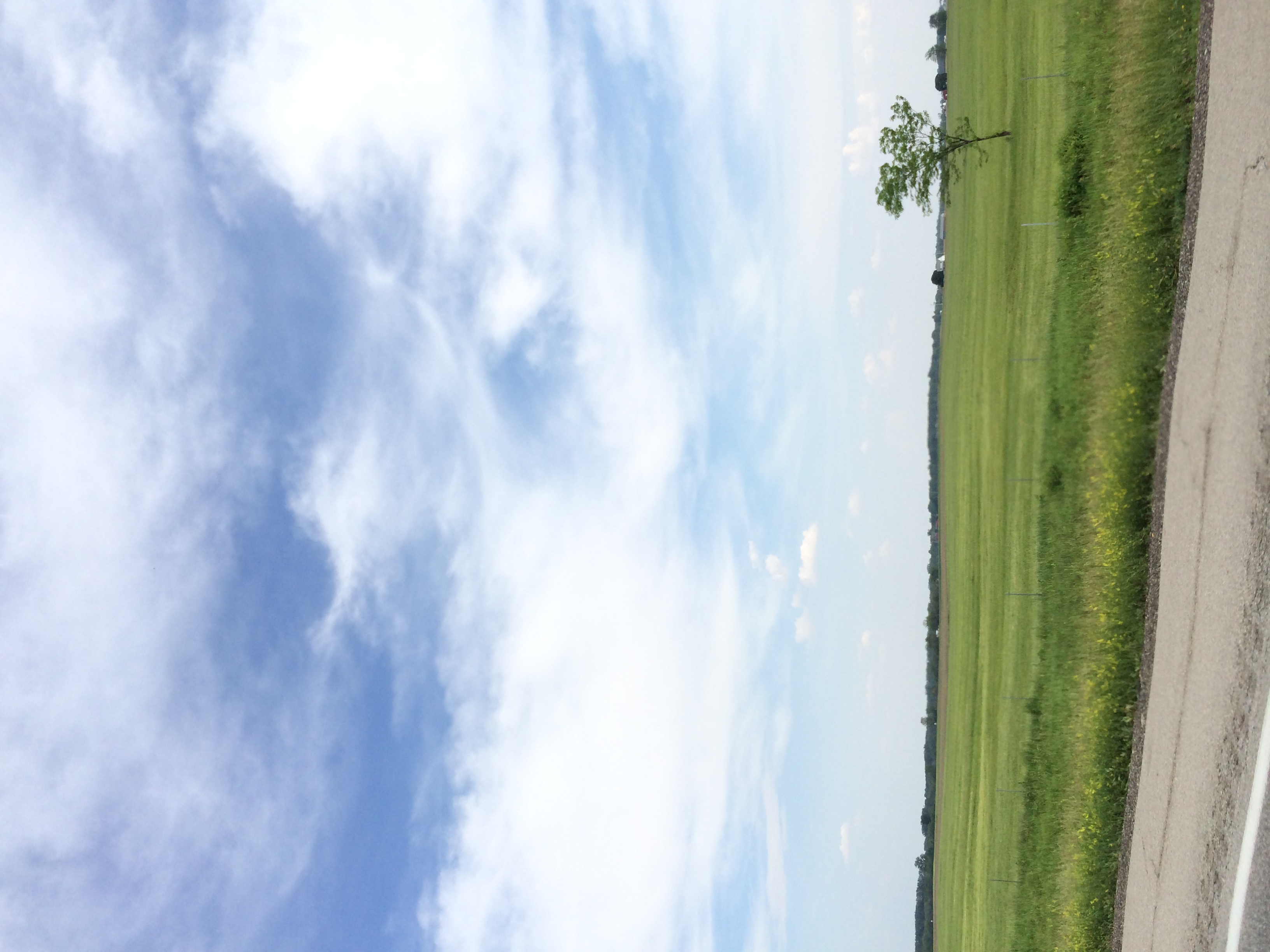
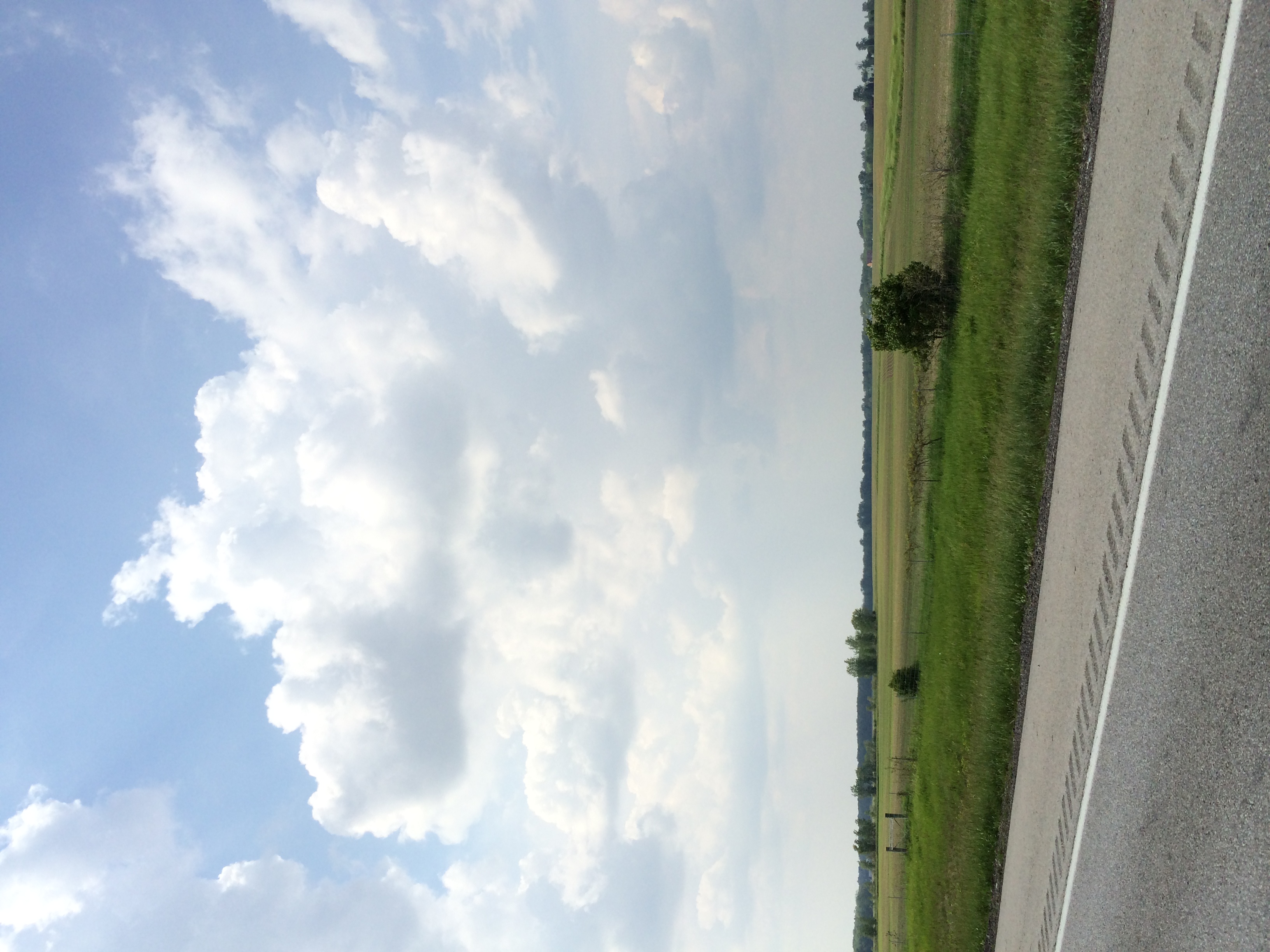
Madison County Farmland

Road tripping with Dave Olsen to visit Sparkbox

Road tripping with Dave Olsen to visit Sparkbox

Road tripping with Dave Olsen to visit Sparkbox

Year 4 2012-07-03 q

Road tripping with Dave Olsen to visit Sparkbox

Kirkwood Cemetery-2

Blue Steel took a picture!
Year 4 2012-07-03 o

Blades of Grass
Topographic Map of 2 E High St, London, OH, USA
Find elevation by address:

Places near 2 E High St, London, OH, USA:
London
Wood Ln, London, OH, USA
Madison County
1344 Chickasaw Dr
645 Markley Rd
2099 W Choctaw Dr
Somerford Township
60 Federal St, Midway, OH, USA
Midway
Jefferson Township
Range Township
Plattsburg
Plattsburg Rd, South Charleston, OH, USA
Big Plain Circleville Rd, London, OH, USA
Harmony Township
South Vienna
21 W Main St, South Vienna, OH, USA
Hume Lever Rd, London, OH, USA
Yankeetown-Chenoweth Rd, Mt Sterling, OH, USA
Fairfield Township
Recent Searches:
- Elevation of Beall Road, Beall Rd, Florida, USA
- Elevation of Leguwa, Nepal
- Elevation of County Rd, Enterprise, AL, USA
- Elevation of Kolchuginsky District, Vladimir Oblast, Russia
- Elevation of Shustino, Vladimir Oblast, Russia
- Elevation of Lampiasi St, Sarasota, FL, USA
- Elevation of Elwyn Dr, Roanoke Rapids, NC, USA
- Elevation of Congressional Dr, Stevensville, MD, USA
- Elevation of Bellview Rd, McLean, VA, USA
- Elevation of Stage Island Rd, Chatham, MA, USA