Elevation of 2, Bensalem, NC, USA
Location: United States > North Carolina > Moore County >
Longitude: -79.627752
Latitude: 35.3594486
Elevation: 165m / 541feet
Barometric Pressure: 99KPa
Elevation Map:
Satellite Map:
Related Photos:

Tarheel Weimaraner Rescue Fun Day
ACWR 6910
2009-10-08 09-11-19 - 0034

Sky on fire
Old Scotch Burial Ground

Old Scotch Burial Ground

Like the Simpson's intro
Out Of Bounds

It's a pretty day to lose some balls.
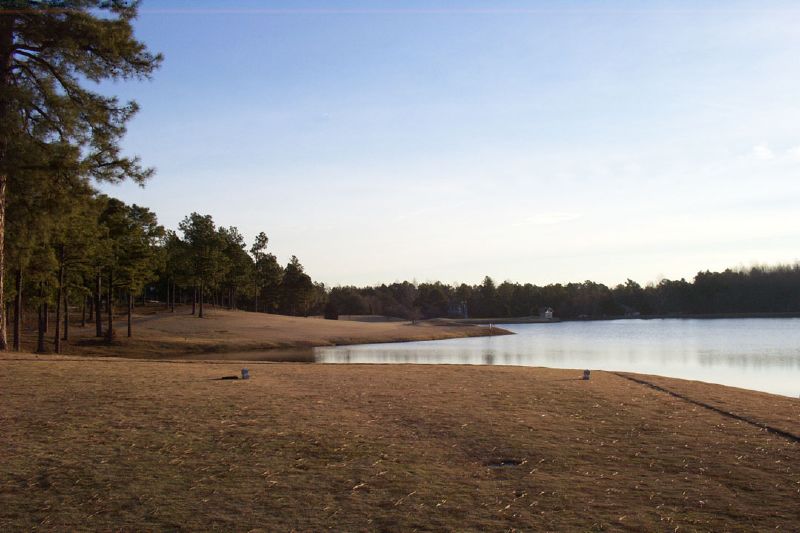
Tee Time
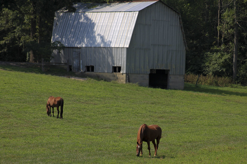
Grazing #1
3-2.jpg
Topographic Map of 2, Bensalem, NC, USA
Find elevation by address:

Places in 2, Bensalem, NC, USA:
Places near 2, Bensalem, NC, USA:
337 Boone Dr
Eagle Springs
Eagle Branch Rd, Eagle Springs, NC, USA
178 Lost Trail Dr
411 Emma Ln
203 S Middleton St
Robbins
111 Pleasant View Ln
113 Pleasant View Ln
115 Pleasant View Ln
3, Sheffield
Seven Lakes
883 Seven Lakes Dr
883 Seven Lakes Dr
129 Elcanie Rd
287 Longleaf Dr
288 Longleaf Dr
108 Logan Ct
West End
N Main St, Candor, NC, USA
Recent Searches:
- Elevation of W Granada St, Tampa, FL, USA
- Elevation of Pykes Down, Ivybridge PL21 0BY, UK
- Elevation of Jalan Senandin, Lutong, Miri, Sarawak, Malaysia
- Elevation of Bilohirs'k
- Elevation of 30 Oak Lawn Dr, Barkhamsted, CT, USA
- Elevation of Luther Road, Luther Rd, Auburn, CA, USA
- Elevation of Unnamed Road, Respublika Severnaya Osetiya — Alaniya, Russia
- Elevation of Verkhny Fiagdon, North Ossetia–Alania Republic, Russia
- Elevation of F. Viola Hiway, San Rafael, Bulacan, Philippines
- Elevation of Herbage Dr, Gulfport, MS, USA