Elevation of 27 Denali Cabin Ln, Roundup, MT, USA
Location: United States > Montana > Musselshell County > Roundup >
Longitude: -108.49528
Latitude: 46.427337
Elevation: 1048m / 3438feet
Barometric Pressure: 89KPa
Elevation Map:
Satellite Map:
Related Photos:

Google Street View - Pan-American Trek - MBK Unlimited

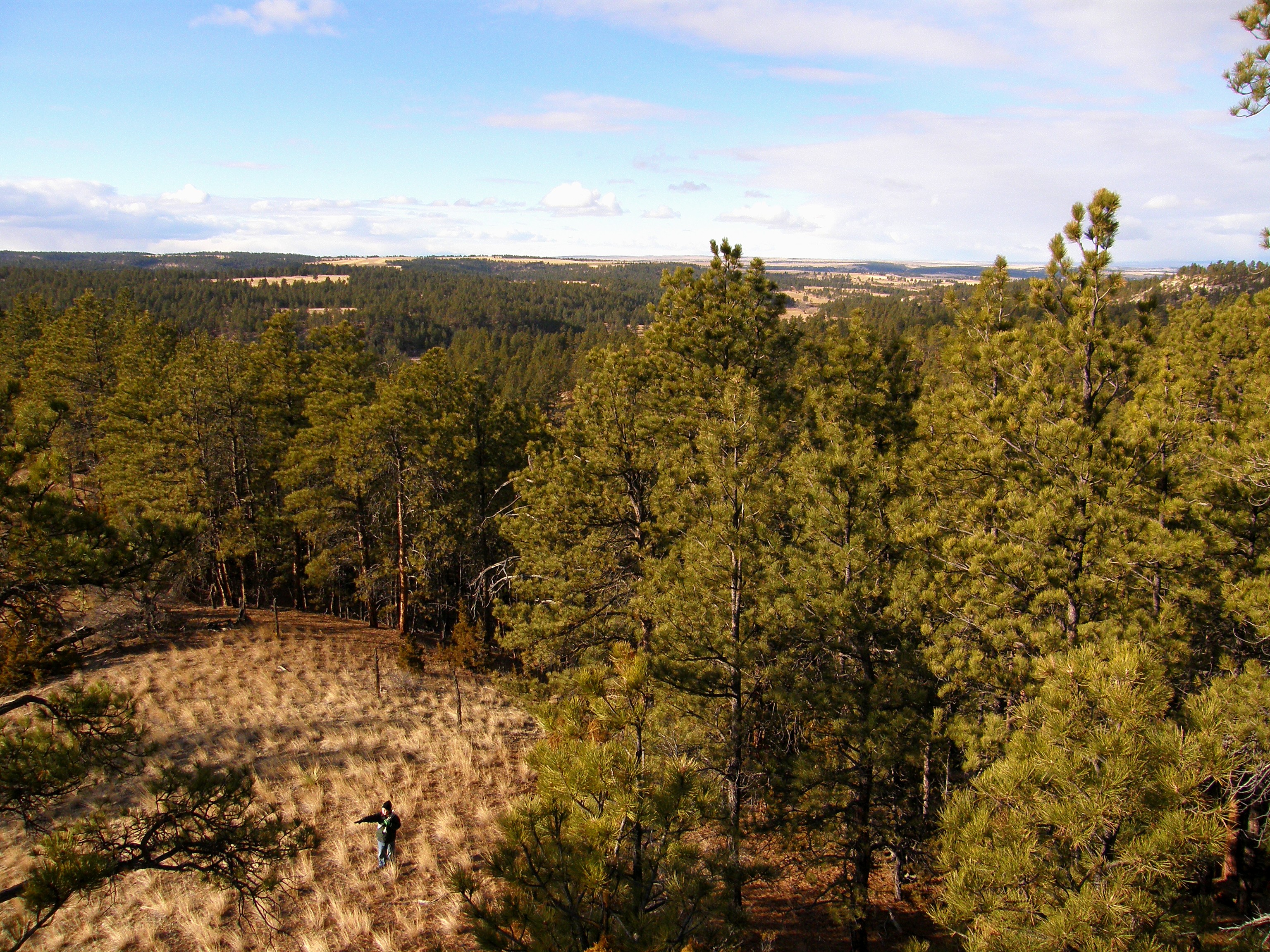
Red Barn Morning

Roundup, Montana

A Beautiful Montana Morning

Roundup, Montana 59072

Front Porch View

Big Sky Country
Opposing View Points

Fall Run

Heaven on Earth II

Heaven on Earth V

Heaven on Earth

Heaven on Earth III
Topographic Map of 27 Denali Cabin Ln, Roundup, MT, USA
Find elevation by address:

Places near 27 Denali Cabin Ln, Roundup, MT, USA:
85 Winchester Dr
45 Winchester Dr
45 Winchester Dr
45 Winchester Dr
2 Winchester Dr
67 Winchester Dr
9 Bender Rd
Number 4 Rd & 2nd Ave
Roundup
US-12, Roundup, MT, USA
Camp Three
Roundup, MT, USA
Musselshell County
1890 Upper Elk Creek Rd
Grass Range
Forest Grove Rd, Forest Grove, MT, USA
Fairview Road
Forest Grove
Fords Creek Rd, Grass Range, MT, USA
Old Baldy
Recent Searches:
- Elevation of Felindre, Swansea SA5 7LU, UK
- Elevation of Leyte Industrial Development Estate, Isabel, Leyte, Philippines
- Elevation of W Granada St, Tampa, FL, USA
- Elevation of Pykes Down, Ivybridge PL21 0BY, UK
- Elevation of Jalan Senandin, Lutong, Miri, Sarawak, Malaysia
- Elevation of Bilohirs'k
- Elevation of 30 Oak Lawn Dr, Barkhamsted, CT, USA
- Elevation of Luther Road, Luther Rd, Auburn, CA, USA
- Elevation of Unnamed Road, Respublika Severnaya Osetiya — Alaniya, Russia
- Elevation of Verkhny Fiagdon, North Ossetia–Alania Republic, Russia