Elevation of 26 Wing Rd, Millbrook, NY, USA
Location: United States > New York > Dutchess County > Washington > Millbrook >
Longitude: -73.684205
Latitude: 41.8397758
Elevation: 236m / 774feet
Barometric Pressure: 99KPa
Elevation Map:
Satellite Map:
Related Photos:

Inside Dover Stone Church 2

Early Morning
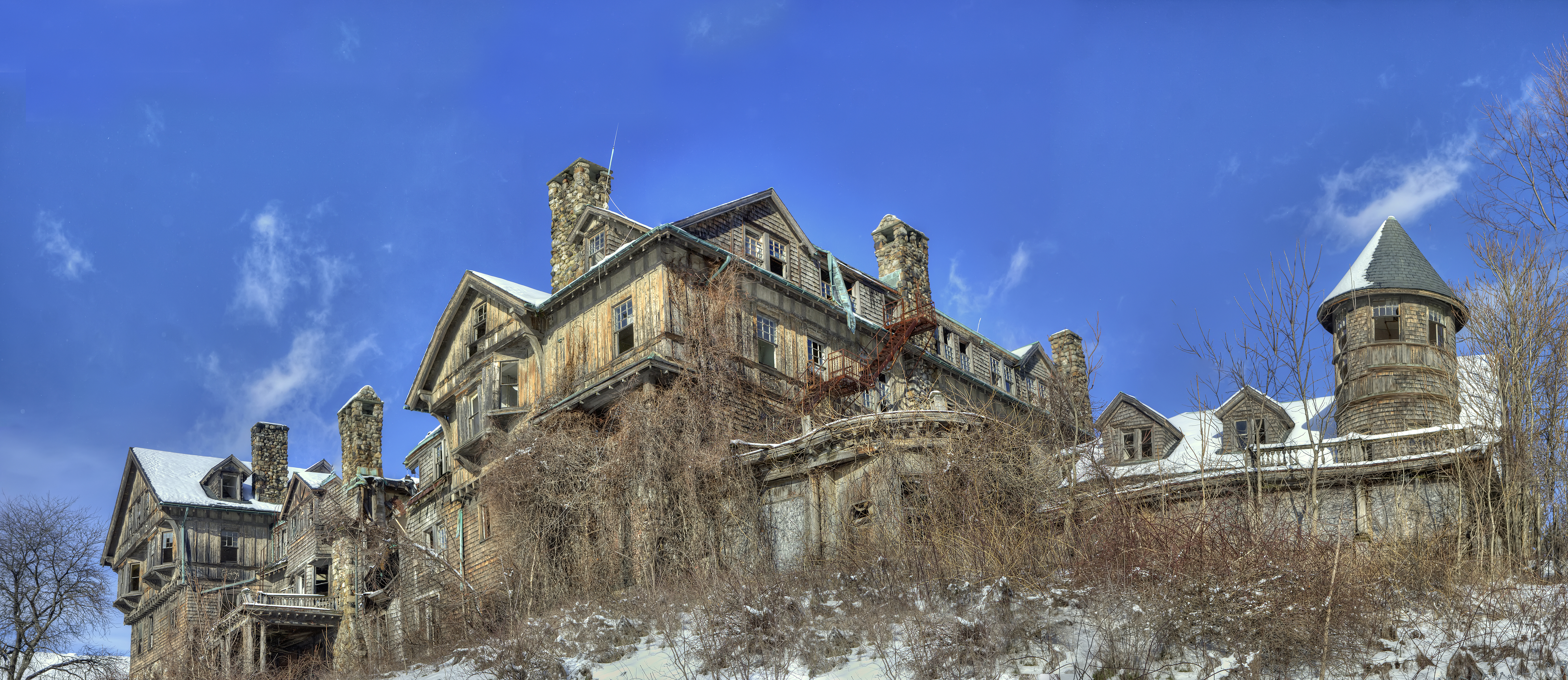
Bennett College

Omega Lake
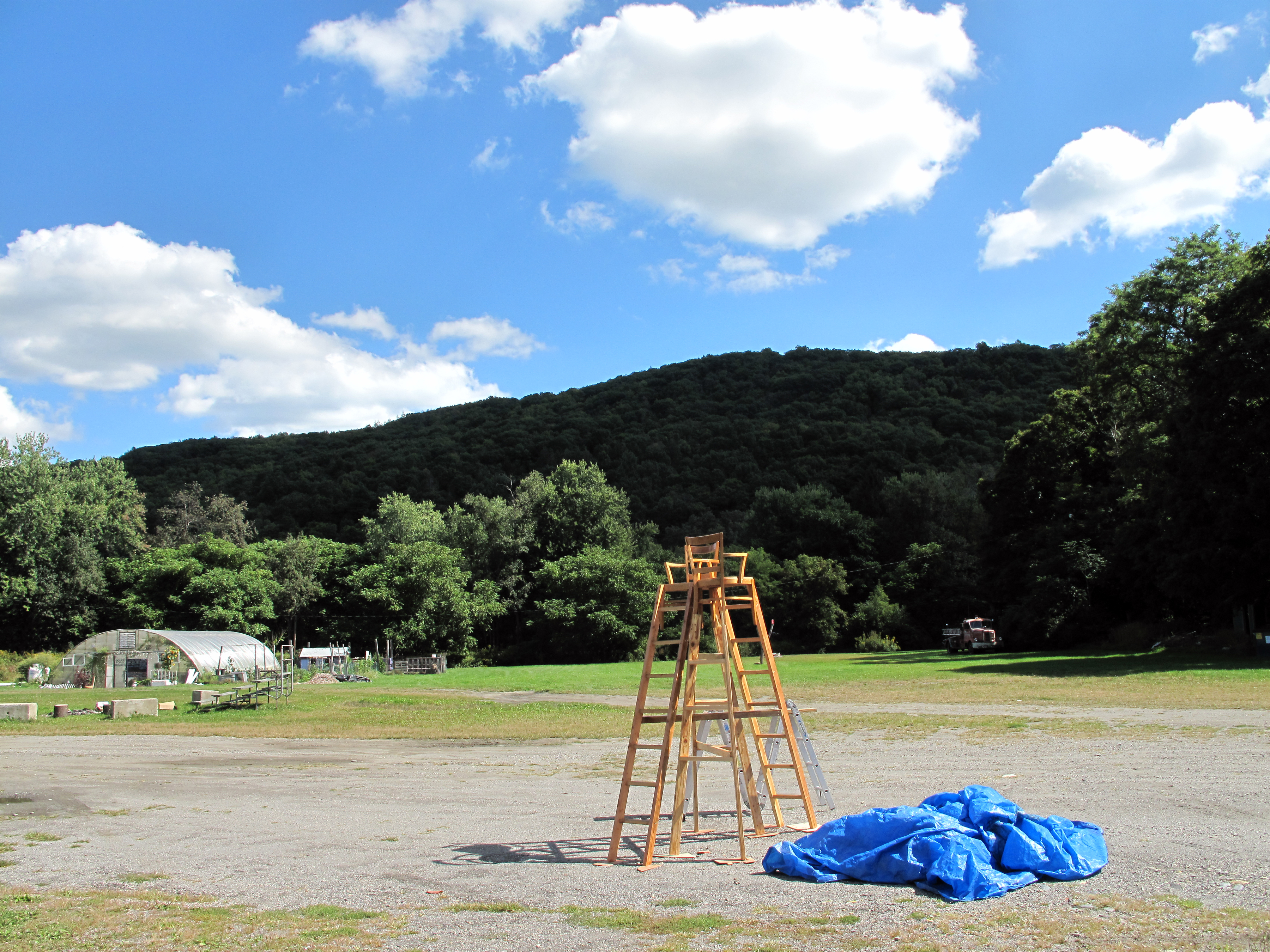
Wassaic view and sculpture

Wassaic View
Back to the Future

Back to the Future

Innisfree Garden

Tut Tut

Nico enjoying the view of the fish

West of Amenia NY Looking South - Second Stitch

Not a bad view from Sean's room. #harlemvalley #wassaic #wassaicproject #barn #landscape

Pow Wow

United Presbyterian Church of Amenia; Front
Slip Ridge Country Club - Amenia NY

20151004_182237_U.S. 44
View From The Top

taking in the view
Sometimes, markets fail ... you
Pool deck view.

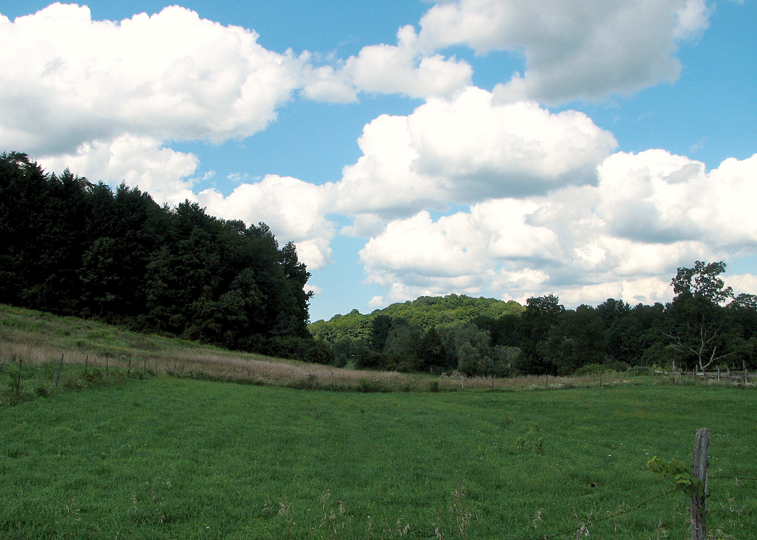
Upstate Autumn

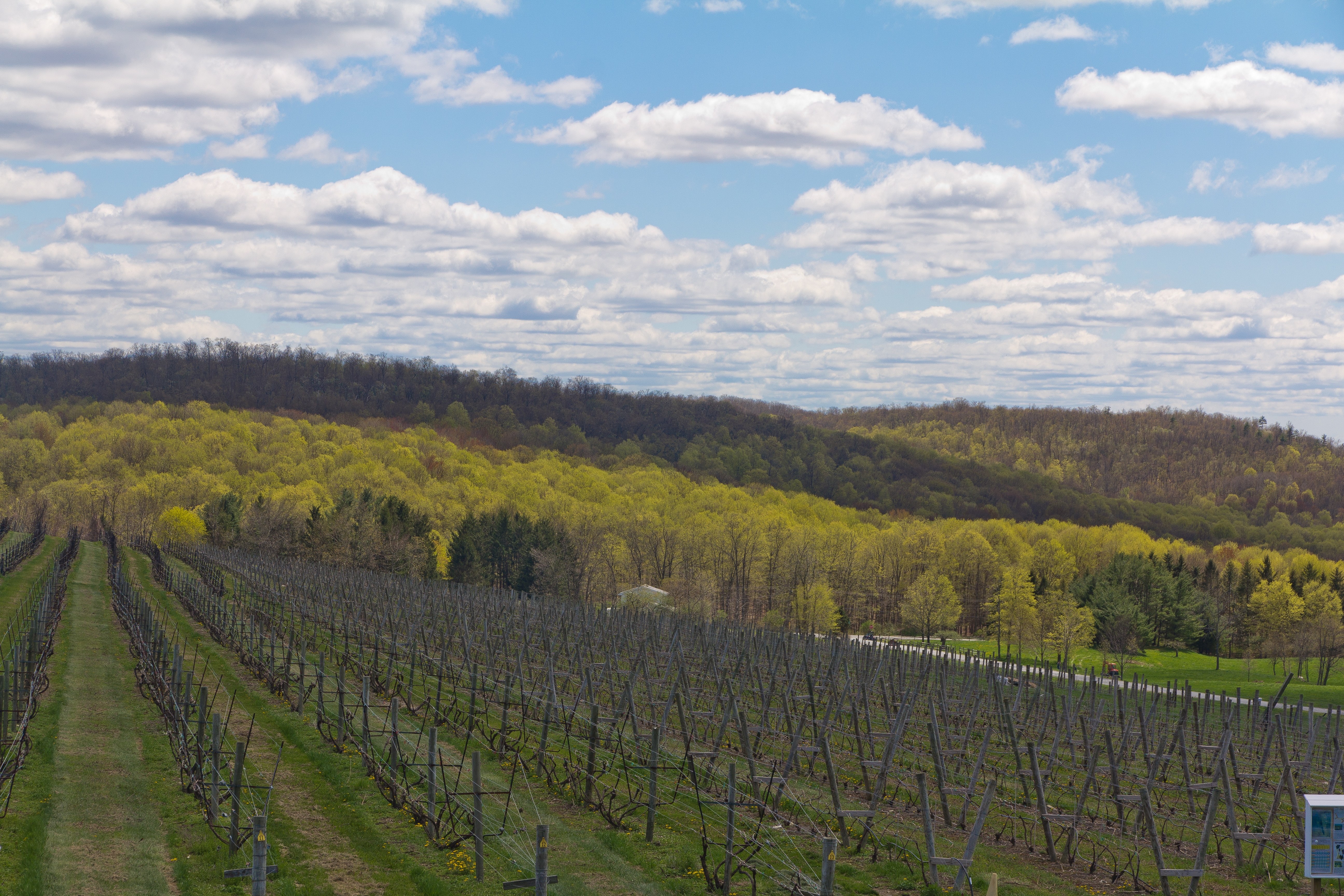
Anniversary-Vinyard-Trip-12

Anniversary-Vinyard-Trip-4

Entrance to Dover Stone Church

Wine of the Future!
LOST IN THE FIELD

Wassaic Project horses

Country. Sunday. #rogershire
Thompson Pond

Don't Fence Me In

Lake Tyrrell

Breaking Storm on an Autumn Afternoon

#harlemvalley #graveyard #hydrant #red #landscape

Innesfree Distance
2012-09-10 15.48.17
Innisfree Garden 2 #beautiful #gardens #nature #lake #sunday
Innisfree Gardens
IMG_4258.jpg
IMG_1035 copy
Topographic Map of 26 Wing Rd, Millbrook, NY, USA
Find elevation by address:

Places near 26 Wing Rd, Millbrook, NY, USA:
1068 N Anson Rd
Stanfordville
NY-82, Stanfordville, NY, USA
12 Babcock Way
2850 Salt Point Turnpike
Stanford
45 Quarter Horse Way
49 Willow Brook Rd
21 Hobbs Ln
75 Hicks Ln
1113 Bangall Amenia Rd
50 Hawk Hill Ln
13 Separate Rd
43 Homan Rd
50 Tuscan Way
167 Charwill Dr
Separate Rd, Amenia, NY, USA
78 Ridge Rd
4905 Us-44
Amenia
Recent Searches:
- Elevation of Griffing Blvd, Biscayne Park, FL, USA
- Elevation of Kreuzburger Weg 13, Düsseldorf, Germany
- Elevation of Gateway Blvd SE, Canton, OH, USA
- Elevation of East W.T. Harris Boulevard, E W.T. Harris Blvd, Charlotte, NC, USA
- Elevation of West Sugar Creek, Charlotte, NC, USA
- Elevation of Wayland, NY, USA
- Elevation of Steadfast Ct, Daphne, AL, USA
- Elevation of Lagasgasan, X+CQH, Tiaong, Quezon, Philippines
- Elevation of Rojo Ct, Atascadero, CA, USA
- Elevation of Flagstaff Drive, Flagstaff Dr, North Carolina, USA