Elevation of 26 Easthill Rd, Stamford, CT, USA
Location: United States > Connecticut > Fairfield County > Stamford > North Stamford >
Longitude: -73.595659
Latitude: 41.1238944
Elevation: 117m / 384feet
Barometric Pressure: 100KPa
Elevation Map:
Satellite Map:
Related Photos:
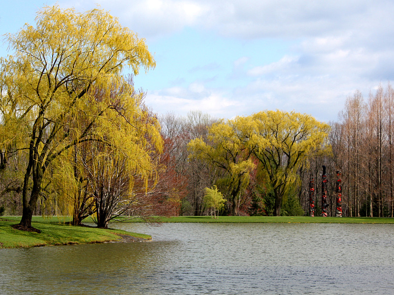
Spring Scene
tree top horizontal

Jose with Mardi Gra Beads and Silver Party Hat

NYC Winter Dusk Time Lapse
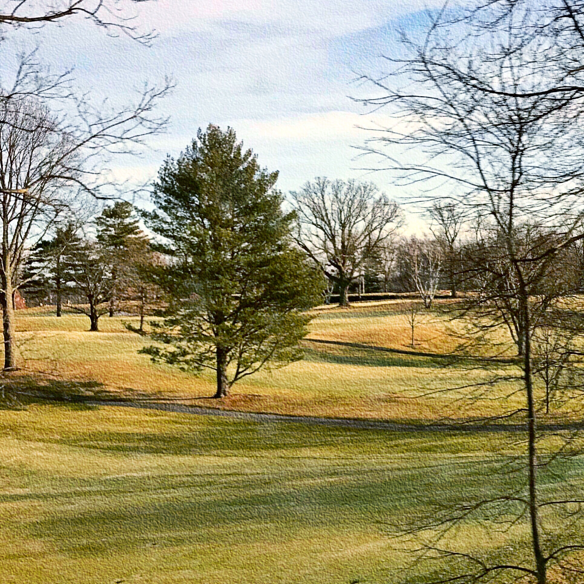
Views from the train: Late winter fairway
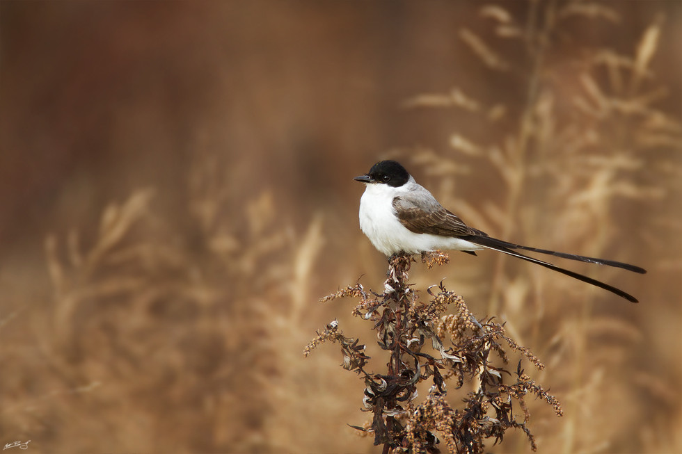
Fork-tailed Flycatcher

Day 19 - White Love

Cubby's Uncumfortable
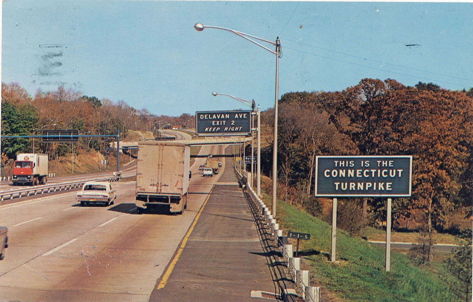
Postcard: Connecticut Turnpike at Byram

House on Fire.....

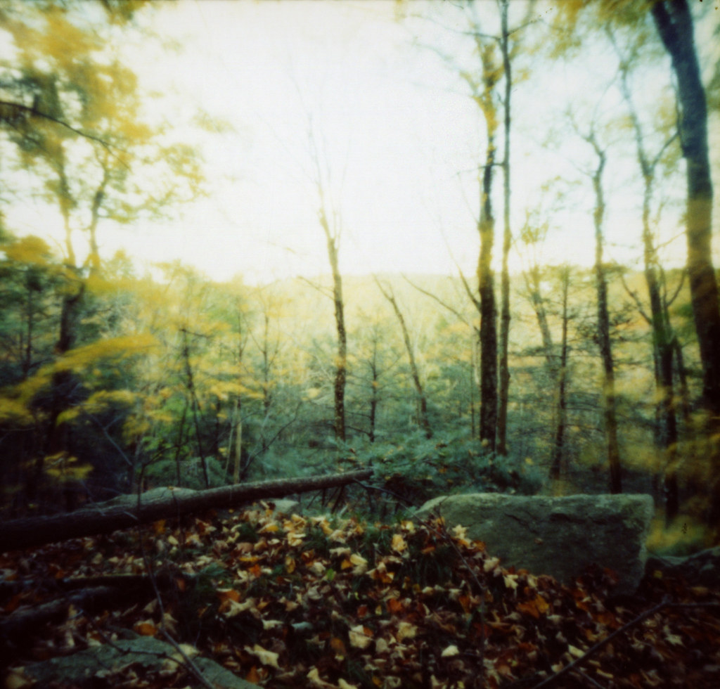
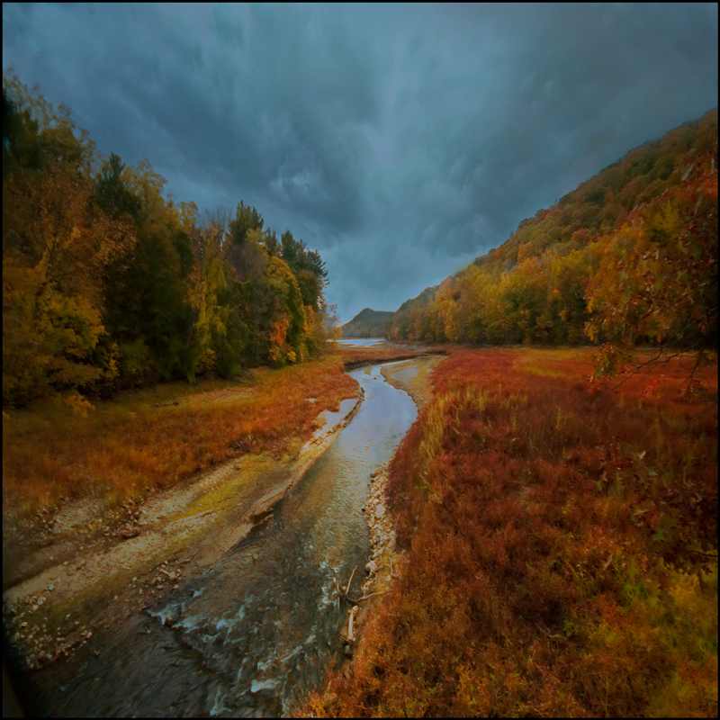
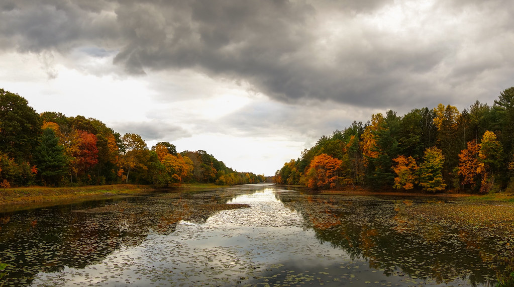
The last signs of fall

Fork-tailed Flycatcher

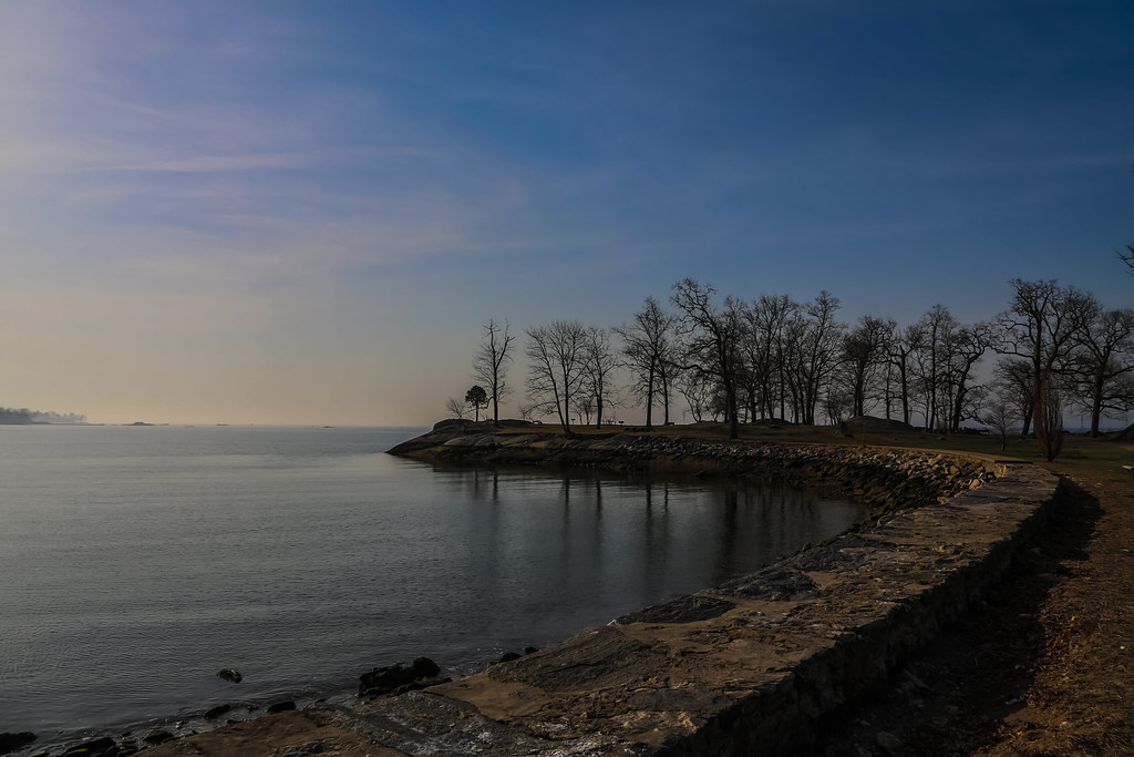
Greenwich Connecticut Beach

At Sunset

View From Above

Next step ...
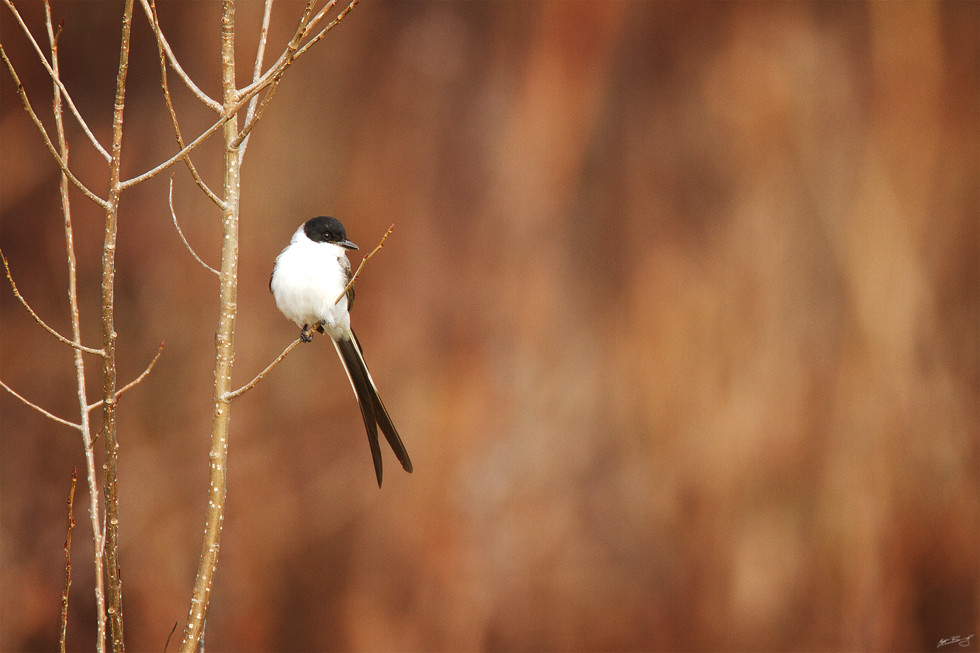
Fork-tailed Flycatcher

Day 15 - First Snow

Looking Up

Day 2 - Reach up High
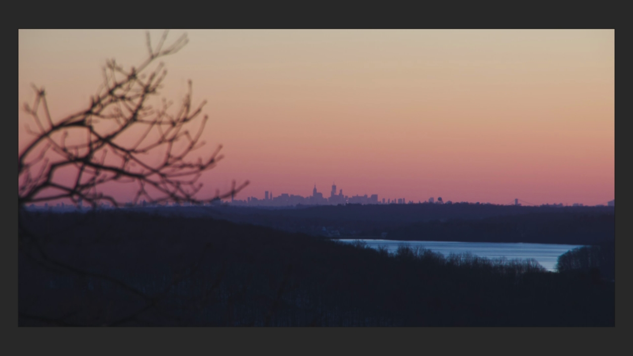
NYC Winter Dusk Time Lapse (Slower)
River tail...Calda de riacho...

Kensico Dam Reservoir

Docce d'oro
Grupes Reservoir
Cove Island
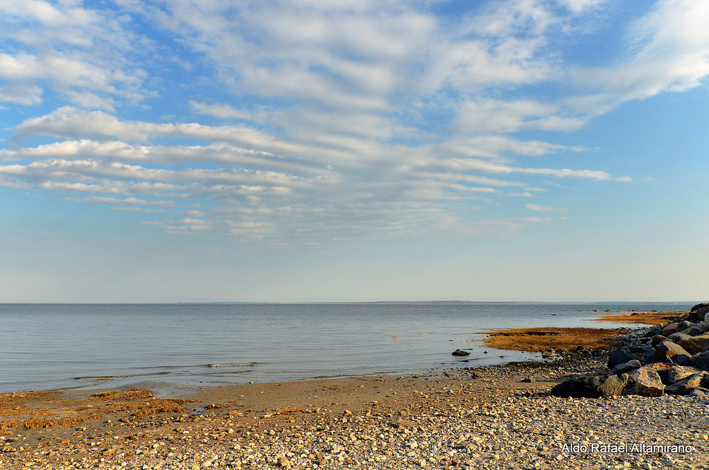
Lonely beach
Sunrise - Earth
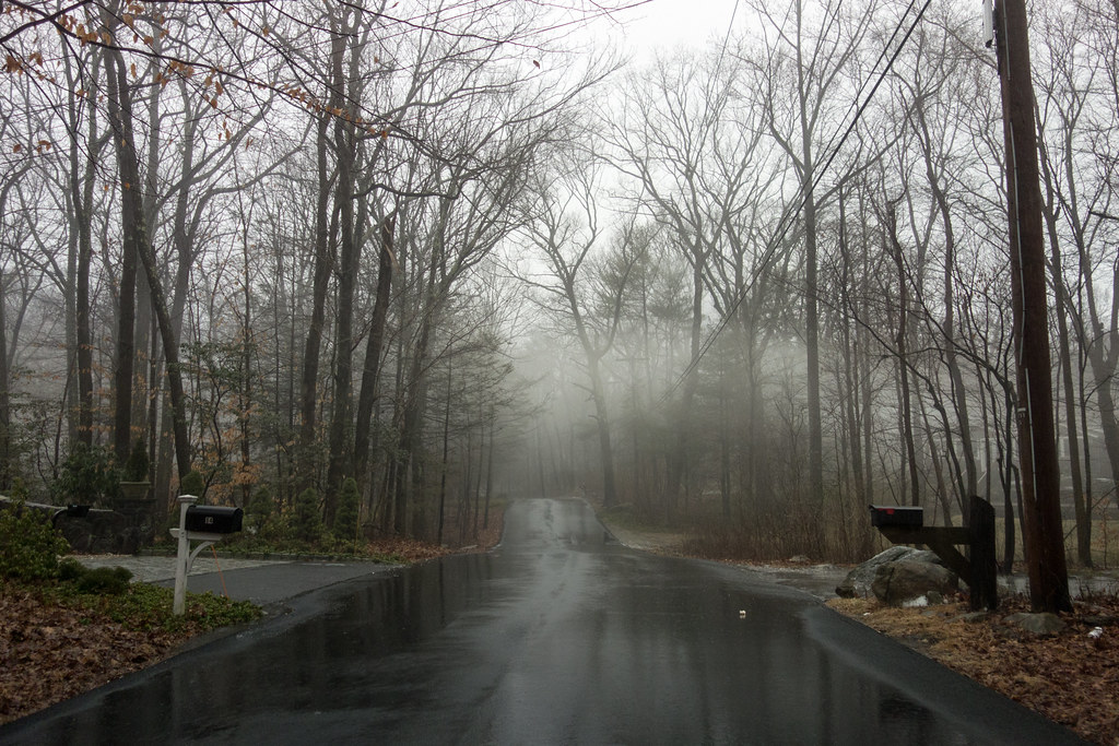
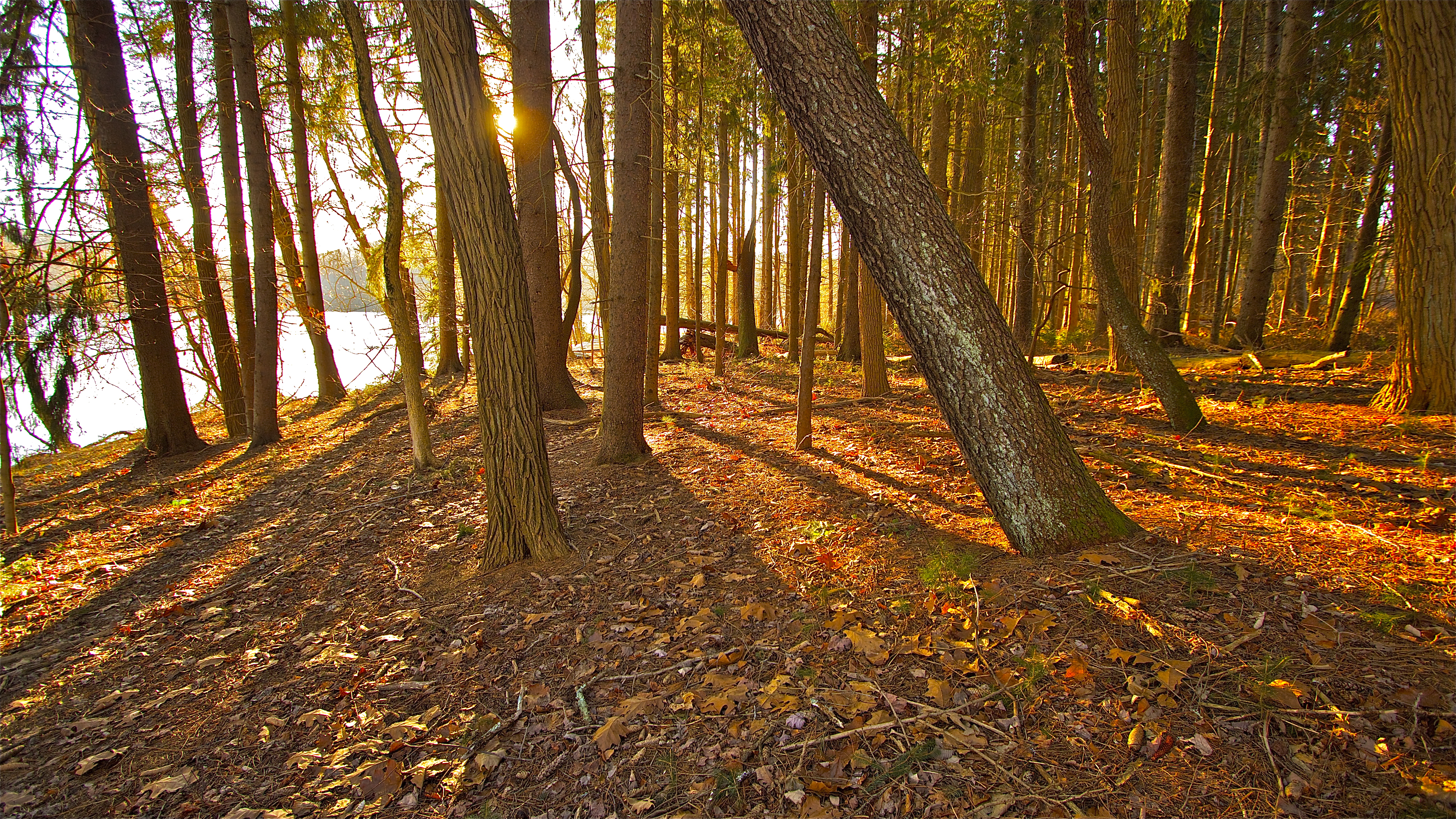
conant valley road

Down the Road

Dam, here I lay.

A Touch of Yellow

guyjoggingat todds

Old Church Lane

Mirror Mirror

Live Every Moment, Love Beyond Words
how sweet to be a cloud
Onatru Farm Park

White Bubble, White Plains, NY
Back to my routine.

Greenwich, Connecticut

Greenwich, Connecticut
Topographic Map of 26 Easthill Rd, Stamford, CT, USA
Find elevation by address:

Places near 26 Easthill Rd, Stamford, CT, USA:
32 Ridgecrest Rd #26
58 Pinnacle Rock Rd
138 Sawmill Rd
94 Bentwood Dr
32 Meeting House Rd
9 June Rd, Stamford, CT, USA
56 Flint Rock Rd
Taconic Rd, Greenwich, CT, USA
188 Thunder Hill Dr
1369 Long Ridge Rd
136 Thunder Hill Dr
Webbs Hill Road
51 Barclay Dr
The Stanwich Club
209 Taconic Rd
Skyridge Road
16 Skyridge Rd
816 North Street
26 Webbs Hill Rd
South Stanwich Road
Recent Searches:
- Elevation of Sieveringer Straße, Sieveringer Str., Wien, Austria
- Elevation of Bratskaya Ulitsa, 24, Kurgan, Kurganskaya oblast', Russia
- Elevation of Paradisvegen, Biri, Norway
- Elevation of Crystal Cir, Birmingham, AL, USA
- Elevation of N Railroad Ave, West Palm Beach, FL, USA
- Elevation of 55 Cassick Valley Rd, Wellfleet, MA, USA
- Elevation of Ironwood Dr, Minden, NV, USA
- Elevation of 高尾山口駅, Takaomachi, Hachioji, Tokyo -, Japan
- Elevation of 15 Victory Ave, Greenville, SC, USA
- Elevation of Kota Ternate Utara, Ternate City, North Maluku, Indonesia