Elevation of 25 Surry Ln, Freeport, ME, USA
Location: United States > Maine > Cumberland County > Freeport > Freeport >
Longitude: -70.046352
Latitude: 43.8468849
Elevation: -10000m / -32808feet
Barometric Pressure: 295KPa
Elevation Map:
Satellite Map:
Related Photos:

Misty Field 2

Bailey Island, Maine

Crossing over....

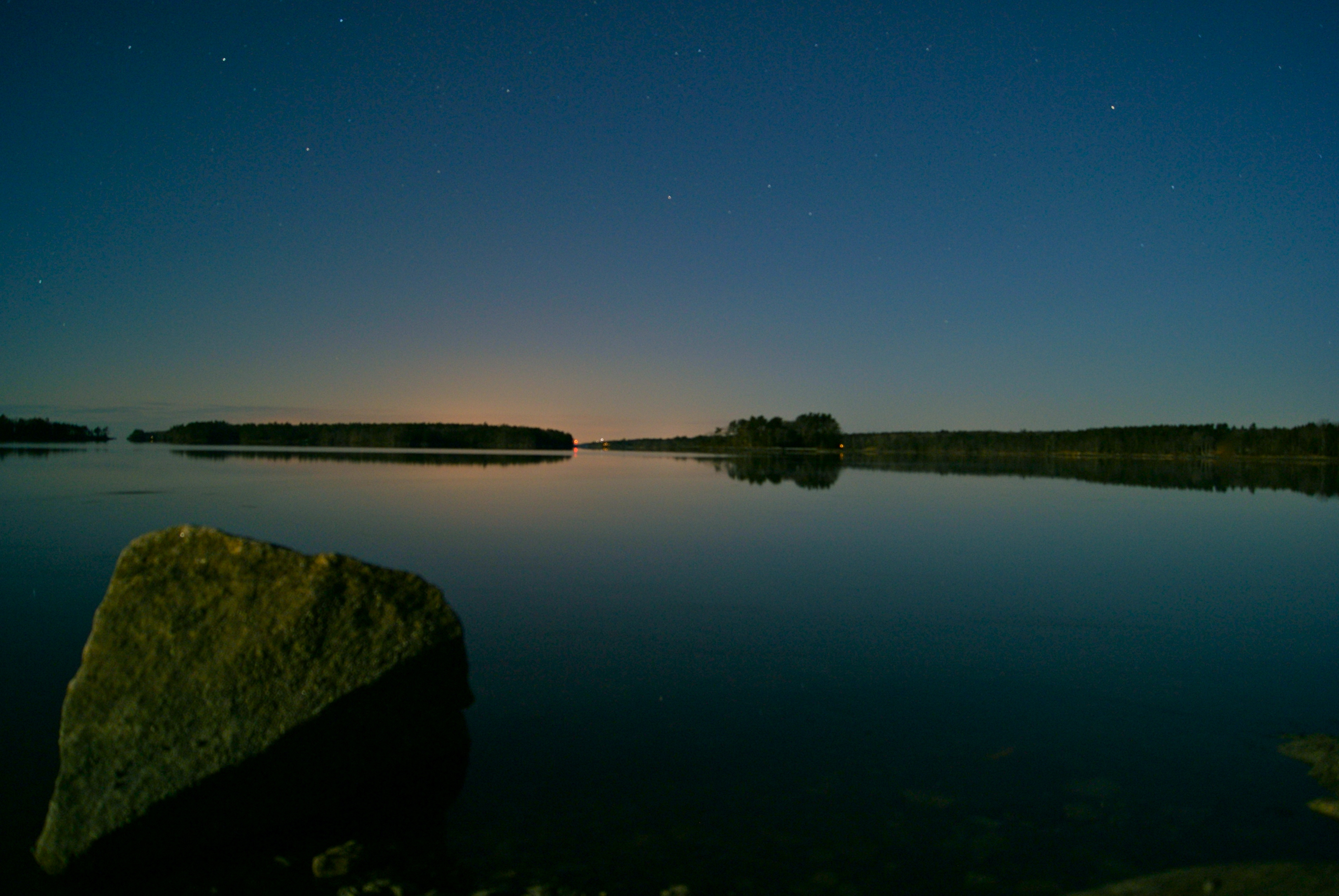
Littlejohn Island Sunrise

"Last Light" - Topsham, Maine, USA

Lobster Shack

Foggy Day

Littlejohn Island Sunrise Tall
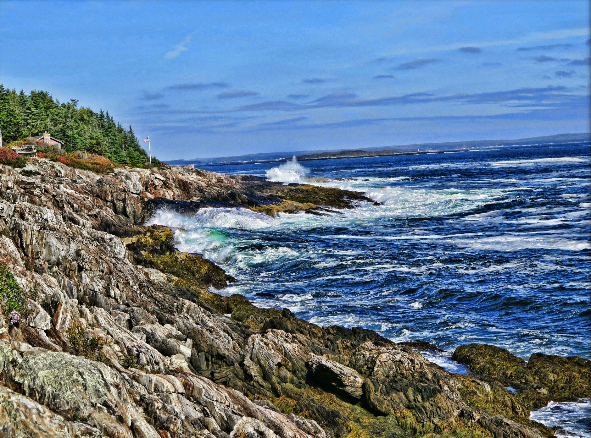
Rocky Coast of Maine

Royal River, Yarmouth, Maine

Misty Field 1

Mackerel Cove Cottage
Super Moonshine: #13
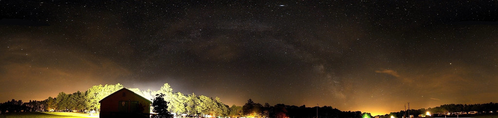
US-ME Nightsky Pano 2013-07-06

Is that your tongue?
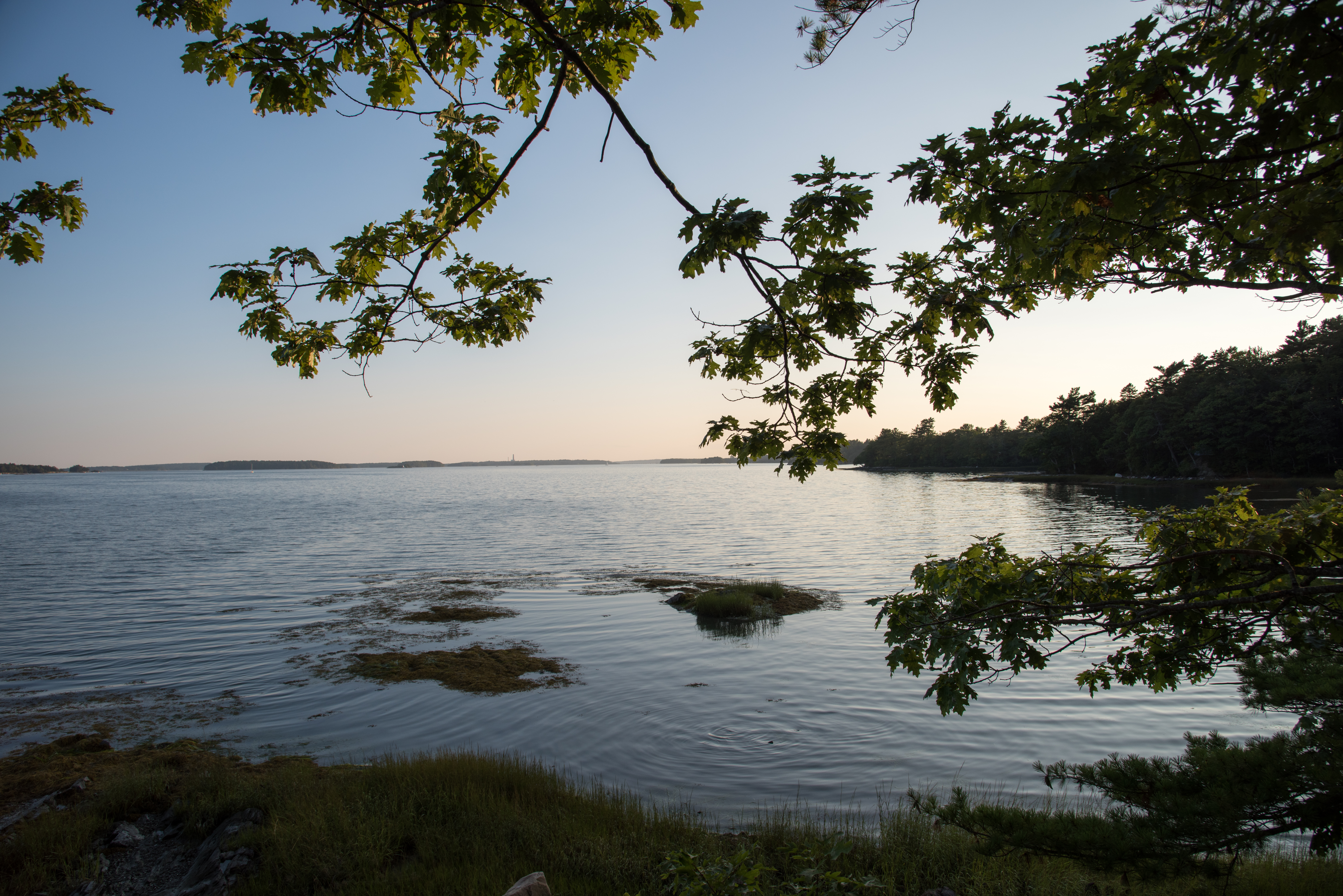
Lookout Point

Blue Angels
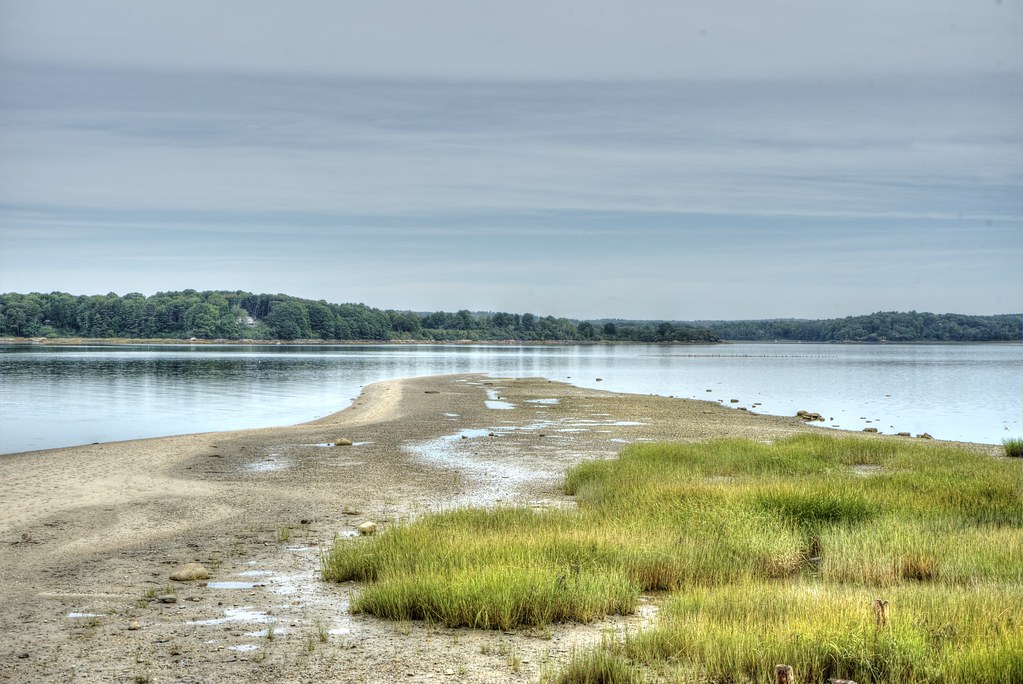
Sandy Point Beach - Cousins Island

A View From The Bridge

Red Sails In The Sunset
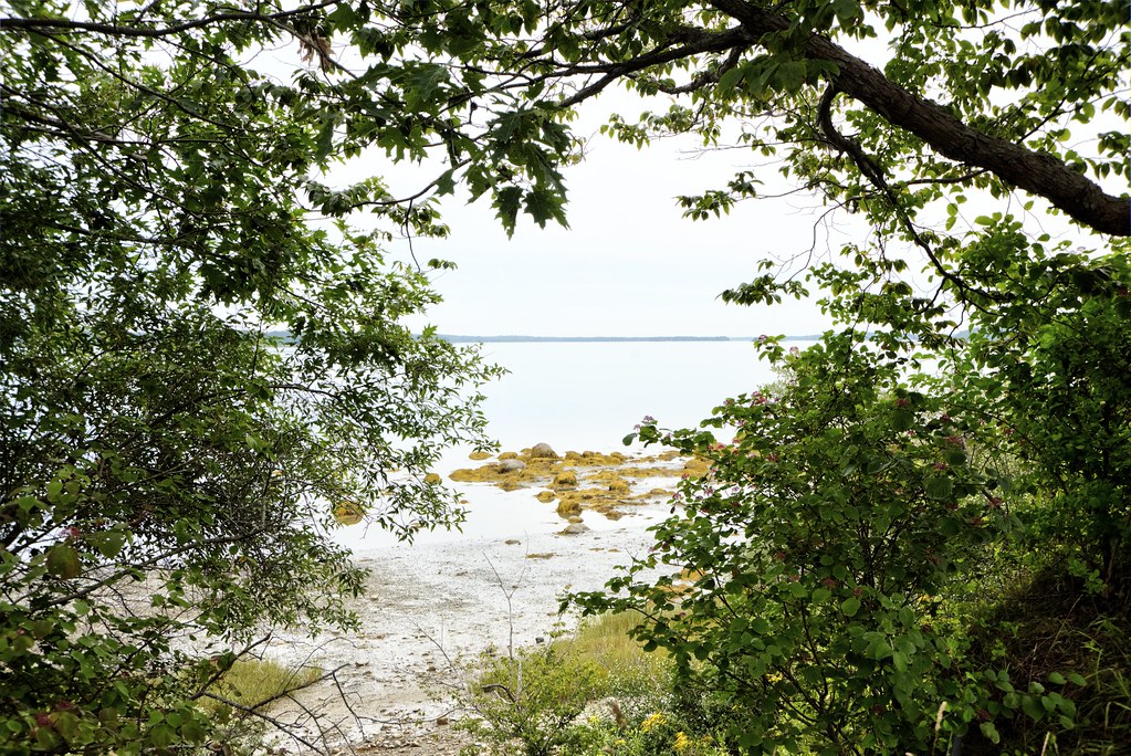
Casco Bay Through The Trees

On the Androscoggin....

Misty autumn pond

Wolfe's Neck Woods

Allen's Seafood

Summer Nights on Bailey Island

DSC_0376.jpg

Giant's Stairs 7
DSC_0287.jpg

DSC_0354.jpg

DSC_0373.jpg

Wolfe's Neck State Park

Broad Cove Pier #cumberland #maine

DSC_0388.jpg
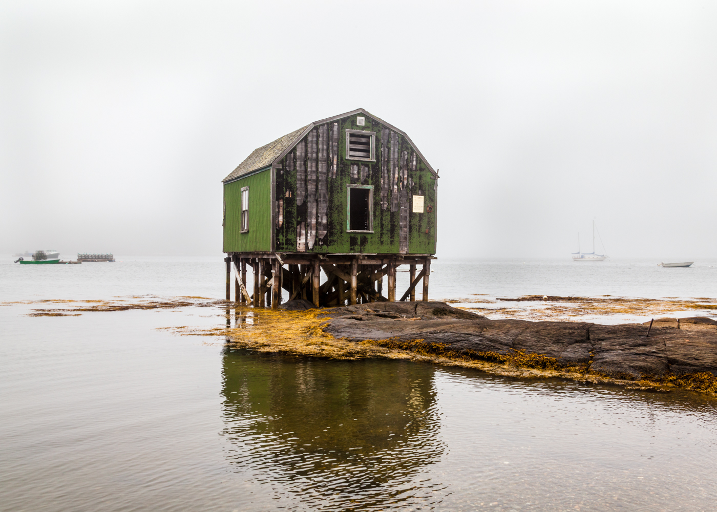
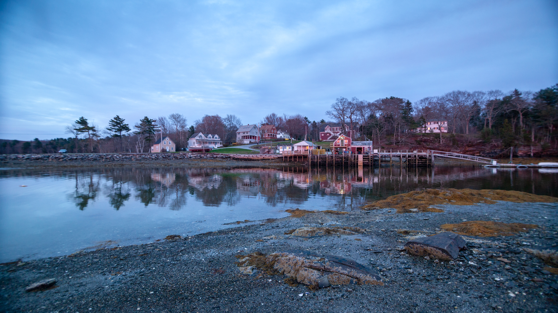
Fog In The Harbor
Topographic Map of 25 Surry Ln, Freeport, ME, USA
Find elevation by address:

Places near 25 Surry Ln, Freeport, ME, USA:
54 Lower Flying Point Rd
65 Pleasant Hill Rd, Freeport, ME, USA
Quahog Lane
25 Shore Dr
942 Mere Point Rd
Fernald Road
71 Merganser Way, Freeport, ME, USA
92 Bow St
3 East St
73 South St
Freeport
Freeport
650 Mere Point Rd
15 Us-1
Brunswick
Freeport
83 S Freeport Rd
2 Harraseeket Rd
2 Harraseeket Rd
2 Harraseeket Rd
Recent Searches:
- Elevation of 15th Ave SE, St. Petersburg, FL, USA
- Elevation of Beall Road, Beall Rd, Florida, USA
- Elevation of Leguwa, Nepal
- Elevation of County Rd, Enterprise, AL, USA
- Elevation of Kolchuginsky District, Vladimir Oblast, Russia
- Elevation of Shustino, Vladimir Oblast, Russia
- Elevation of Lampiasi St, Sarasota, FL, USA
- Elevation of Elwyn Dr, Roanoke Rapids, NC, USA
- Elevation of Congressional Dr, Stevensville, MD, USA
- Elevation of Bellview Rd, McLean, VA, USA