Elevation of 24th Pl NE, Snohomish, WA, USA
Location: United States > Washington > Snohomish County > Snohomish >
Longitude: -121.99716
Latitude: 48.02082
Elevation: 164m / 538feet
Barometric Pressure: 99KPa
Elevation Map:
Satellite Map:
Related Photos:

183: halfway in
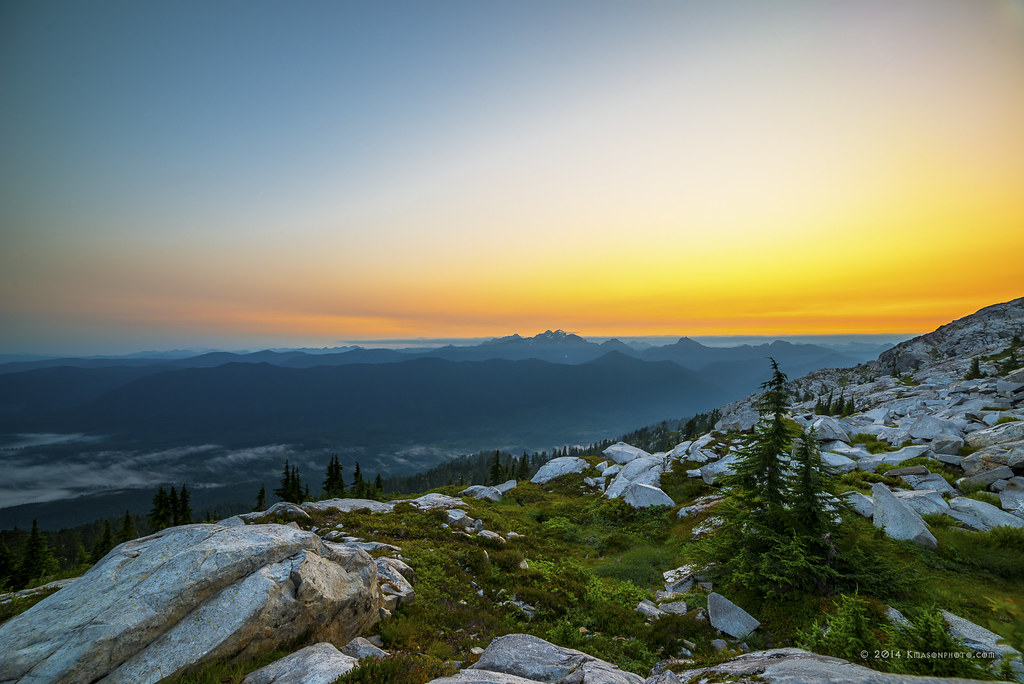
Three Fingers at sunrise

Pilchuck's Alpenglow
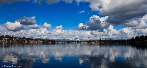
View of Lake Stevens

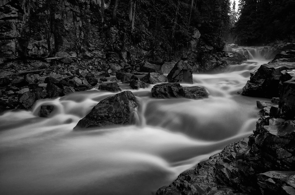
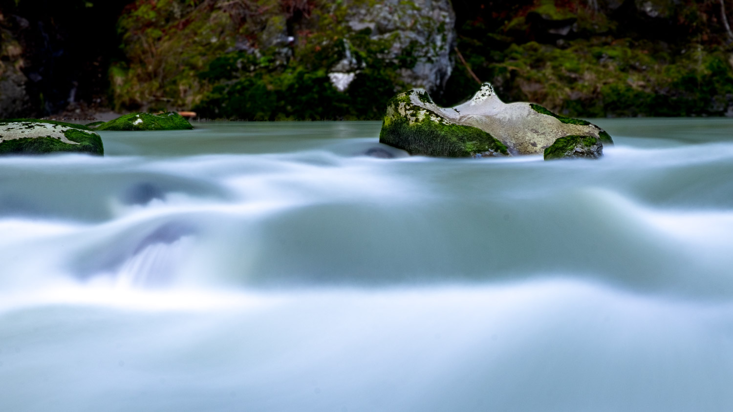
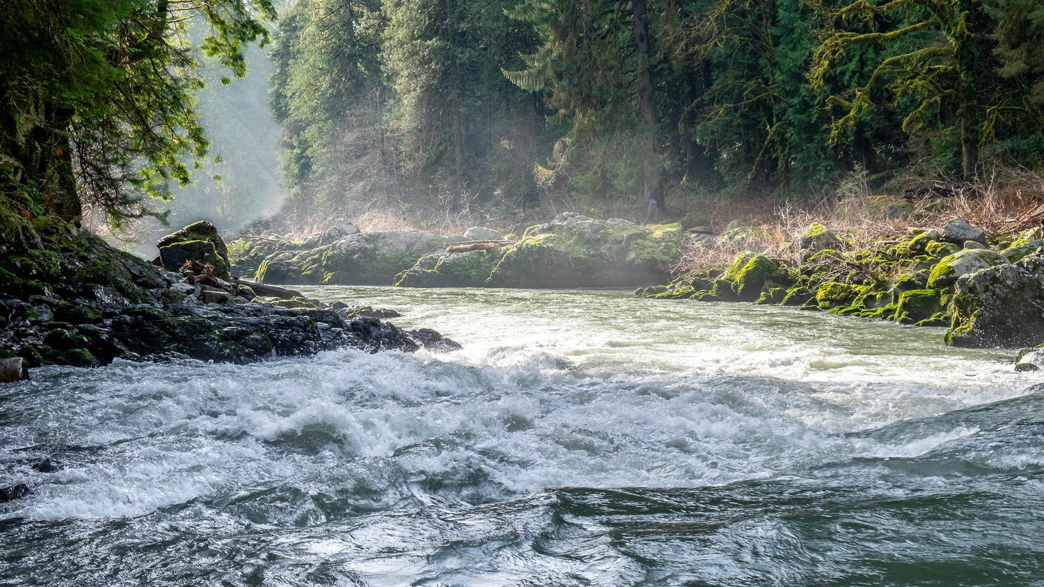
The river wild
The Best View
Granite in Gray
View from Pilchuck

Lots of people at the playground today. Strangely, not a lot of people enjoying the view.
View from Gazebo
LV1269DSC00652.JPG
Lake Cassidy WA
LV1271DSC00654.JPG
LV0150DSC09825.JPG
Legion Park
LV1281DSC00664.JPG
LV0151DSC09826.JPG
LV1282DSC00665.JPG
Three Fingered Mountain from Mount Pilchuck
LV1278DSC00661.JPG
DSC06272.JPG
Frozen Fog
Fogged In Horses
Roesinger awakens
Watercolor photo

South Fork Stillaguamish River

Angry cloud
Passing through

Granite Falls
The Lime Kiln
Deep Color Over Three Fingers

DJI0047_0048_0049_easyHDR-PRO-2_batch

Tide Pool
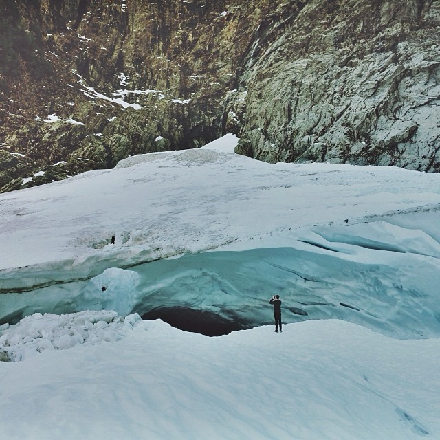
Big ol caves.

South Fork Stillaguamish River
South Fork Stillaguamish River
Quilceda Creek at high tide
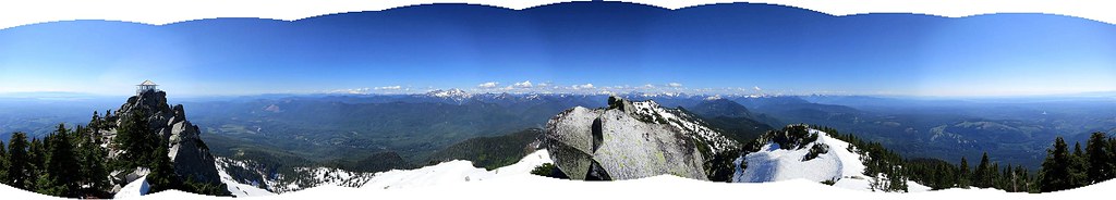
Panoramic view

DSC_1469-Spencer Island
South Fork Stillaguamish River
the entrance...
Topographic Map of 24th Pl NE, Snohomish, WA, USA
Find elevation by address:

Places near 24th Pl NE, Snohomish, WA, USA:
16223 14th St Ne
3027 159th Ave Ne
th Ave NE, Lake Stevens, WA, USA
3418 147th Ave Ne
118 Russell Rd
Lochsloy
2926 139th Ave Ne
130 140th Ave Se
Cedar Springs Camp
2910 127th Ave Ne
12607 16th St Ne
12529 44th St Ne
12426 36th St Ne
Lake Stevens
510 125th Ave Ne
624 125th Ave Ne
st Dr NE, Lake Stevens, WA, USA
6229 123rd Ave Ne
2416 118th Dr Ne
126th Avenue Northeast
Recent Searches:
- Elevation of 3 Nestling Wood Dr, Long Valley, NJ, USA
- Elevation of Ilungu, Tanzania
- Elevation of Yellow Springs Road, Yellow Springs Rd, Chester Springs, PA, USA
- Elevation of Rēzekne Municipality, Latvia
- Elevation of Plikpūrmaļi, Vērēmi Parish, Rēzekne Municipality, LV-, Latvia
- Elevation of 2 Henschke Ct, Caboolture QLD, Australia
- Elevation of Redondo Ave, Long Beach, CA, USA
- Elevation of Sadovaya Ulitsa, 20, Rezh, Sverdlovskaya oblast', Russia
- Elevation of Ulitsa Kalinina, 79, Rezh, Sverdlovskaya oblast', Russia
- Elevation of 72-31 Metropolitan Ave, Middle Village, NY, USA