Elevation of 24 Ryan Ct, Stanford, CA, USA

Location: United States > California > Santa Clara County > Stanford >

Longitude: -122.15715

Latitude: 37.413112

Elevation: 48m / 157feet

Barometric Pressure: 101KPa

Elevation Map:

elevation map of 24 Ryan Ct, Stanford, CA, USA

Satellite Map:

Satellite map of 24 Ryan Ct, Stanford, CA, USA

Related Photos:

jasperridgebiologicalpreserve jrbp oakwoodland road
Road C, view back towards intersection with road D.
mountainview california googlecampus crittendenlane outdoor horse statue horsestatue wood woodenstatue art sculpture grass grassfield field sunset cloud cloudy 3xp raw nex6 selp1650 photomatix hdr qualityhdr qualityhdrphotography shoreline deborahbutterfield bronze castbronze bronzestatue fav200 siliconvalley
Fire breathing dragon
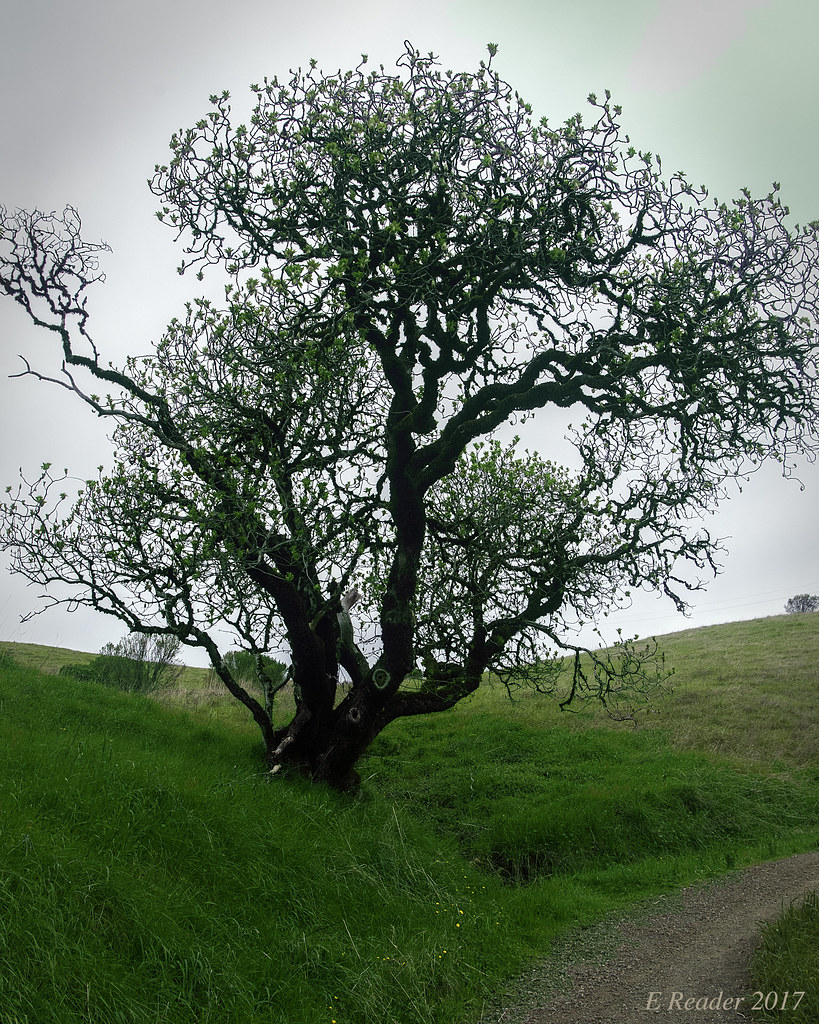
california ca sunset usa tree us oak day unitedstates cloudy paloalto hdr gnarled exposureblending photomatix dishtrail standforduniversity
Gnarled Oak
park mountain canon is view shoreline l usm tern 100400mm forsterstern forsters coth greatshots topshots specanimal photosandcalendar natureselegantshots panoramafotografico coth5 theoriginalgoldseal flickrsportal flickrportal ringexcellence dblringexcellence tplringexcellence eltringexcellence
IMG_1380 Let Me Feed You, Honey.
jasperridgebiologicalpreserve jrbp road
View east down Road F just east of intersection with trail 15.
white bird interestingness bravo 11 explore egret strut snowyegret shorebird egrettathula naturesfinest 255 theintimidator specanimal impressedbeauty avianexcellence
Egret Strut
park mountain canon is view shoreline l usm tern 100400mm forsterstern forsters coth supershot avianexcellence bestcapturesaoi ringexcellence dblringexcellence tplringexcellence
IMG_5922 Forster's Tern Hovering, Mountain View Shoreline Park, California
mountainview potd
Balloons In A Truck
california trees nature landscape stanford woodside hdr rollinghills marinelayer portolavalley sanfranciscopeninsula coastalfog explored lateafternoonsunlight stanfordweekendacres
California Coastal Fog (explored)
bridge illumination cupertino pedestrianbridge
Mary Avenue Bridge
california unitedstates mountainview
DSC01246.JPG
california sculpture horse bluesky mountainview sgi silicongraphics drygrass deborahbutterfield bronzecasting driftwoodhorse
Bronze Horse by Deborah Butterfield
mountainview potd shadow shadows
Bicycle Seat
californa canon5dmarkiii canonef24105mmf4lisusm lightroom5 mountainview rengstorffhouse sfbayarea sanfranciscobayarea southbay topazsw watertower
A Walk to Rengstorff House (circa 1867) (HFF)
park mountain canon is view shoreline l usm tern 100400mm forsterstern forsters coth specanimal colorphotoaward coth5 dblringexcellence
IMG_1868 Forster's Tern, Mountain View Shoreline Park, CA
park mountain view shoreline tern forsterstern forsters ringexcellence dblringexcellence tplringexcellence eltringexcellence
IMG_2314 Forster's Tern
birds flying birdwatcher topshot northernharrier circuscyaneus charlestonslough naturescall featheryfriday top20birdshots mountainviewcalifornia specanimal anawesomeshot impressedbeauty avianexcellence goldwildlife treeofhonor bloggedtwe
Northern Harrier-IMG_1671-MV baylands-Crop
mountainview mountain view california googleplex google campus googlecampus building tech hightech siliconvalley silicon valley bayarea
Googleplex - Google Campus
reflections pier powerlines sanfranciscobayarea paloalto sanfranciscobay southbay santaclaracounty canon70200mm28l southsanfranciscobay baylandpreserve canon5dmarkiii lightroom5 topazsw
Long Walks on Short Piers
californa canadiangeese canon5dmarkiii canonef24105mmf4lisusm geese lightroom5 mountainview santaclaracounty shoreline shorelinepark southbay southsanfranciscobay topazsw
Geese (HSS)
birds clouds sunrise reflections dawn golden bay san francisco day clear 100views marsh palo alto preserve baylands 7450
Late Again....
california sunset nature grass landscape hdr rollinghills windingroads arastraderopreserve d7000 californiaoaktrees magicunicornverybest topazdetail galleryoffantasticshots
Heavenly Shades of Night are Falling -- Reprise
california trees nature grass clouds landscape trails sunsets hdr rollinghills fieldsofgold arastraderopreserve d7000 daarklands magicunicornmasterpiece topazdetail explored7000
Fields of Gold
IMG_20170311_123526-PANO
california park ca sunset favorite usa lake plant green nature water colors yellow canon landscape landscapes woods waterdrop colorful exposure bayarea greenwater canon60d platinumheartaward
Door of opportunities :)
california sunset nature grass landscape rollinghills blends d600 windingroads arastraderopreserve californiaoaktrees galleryoffantasticshots bestevercompetitiongroup
Home on the Farm
california sunset nature grass fog landscape hdr rollinghills sanfranciscopeninsula windingroads californiaoaktrees magicunicornverybest topazdetail
Heavenly shades of night are falling, it's twilight time ...
asteraceae goldfields grassland jasperridgebiologicalpreserve jrbp lasthenia serpentine
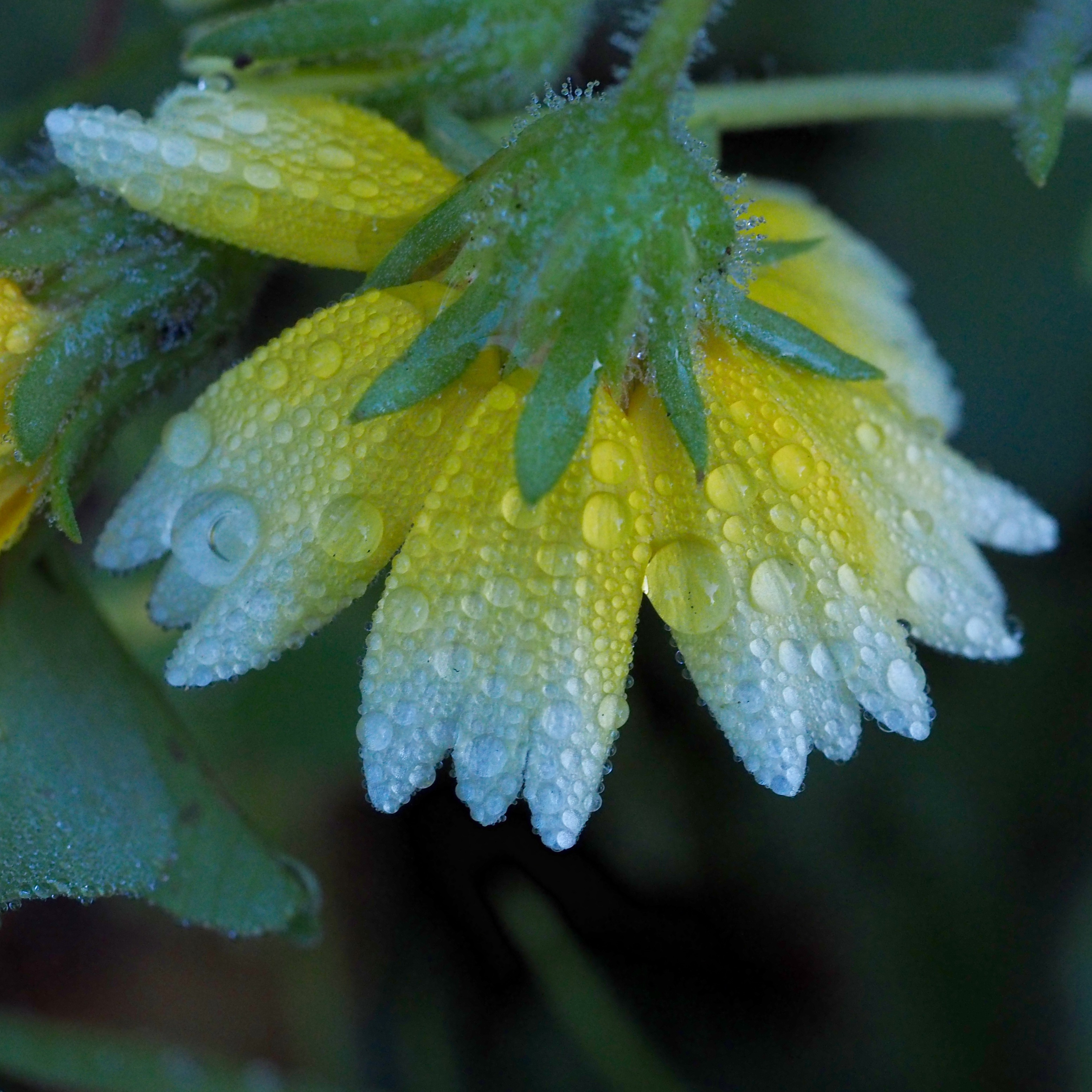
Lasthenia sp., GOLDFIELDS
paloalto cloud clouds nature potd sky
Palo Alto Baylands
california road trees grass afternoon dirt grasses grassland palo alto grasslands arastradero
Arastradero Pasture
tree foliage spring leaves green nature grass trail russianridge openspace outdoors paloalto northerncalifornia hillside santacruzmountains sanmateocounty
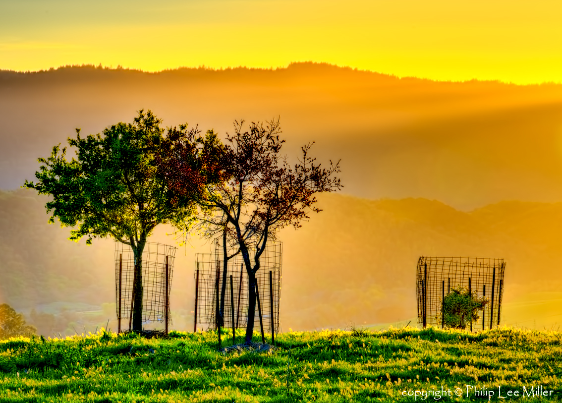
Springtime Awakening
longridge hdr3 sky clouds grass nature trail overcast story danielhoherd hdr field unitedstates danielaustinhoherd california 15mm nikond70 d70 nikon santacruzcounty cielo santacruz northerncalifornia sanfranciscobayarea ƒ22 iso200 ƒ220 sanmateocounty datetaken:month=09 datetaken:year=2007 datetaken:day=23 usa datetaken:date=20070923 sunday 云彩 草 雲 datetaken:calendarday=0923
Trail to Heaven
DSC00963.JPG
sunset landscape trails d600 rockpaper stanforddishtrail californiaoaktrees
Closing Time
california nature grass landscape trails hdr rollinghills arastraderopreserve eucalyptustrees d7000 topazdetail rememberthatmomentlevel4 rememberthatmomentlevel1 rememberthatmomentlevel2 rememberthatmomentlevel3 rememberthatmomentlevel7 rememberthatmomentlevel5 rememberthatmomentlevel6
Gentle Afterglow
california sky grass clouds path trail bayarea april paloalto siliconvalley southbay arastradero arastraderopreserve
April Skies | Palo Alto
cañada road sunset california san mateo county frontage sanandreasfault nikon d800 nikond800 elmofoto lonetree widescreen hdr exposureblending tonemapping 1635mm gnd leefilters 3stop clouds sky dramatic gettyimages fav10 fav20 fav30 fav40 fav50 fav60 fav70 fav100 10000v
my favorite lone tree | cañada rd
blue sky reflection green water clouds mountainview stevenscreektrail
Shade and reflections
california trees sunset nature grass clouds landscape hdr coastalrange californiaoaks d7000 magicunicornverybest topazdetail galleryoffantasticshots
Trees and Rays
texture 50mm shadows hcs iwonder nikond700 grassbowling flypapertexture •sarahp• clichesaturday heavilyprocessedburmudagrass scavengerhuntshadows
I wonder
Upside down