Elevation of 22 Rue de Beauvais, Francastel, France
Location: France > Oise > Francastel >
Longitude: 2.1428487
Latitude: 49.5888946
Elevation: 186m / 610feet
Barometric Pressure: 99KPa
Elevation Map:
Satellite Map:
Related Photos:
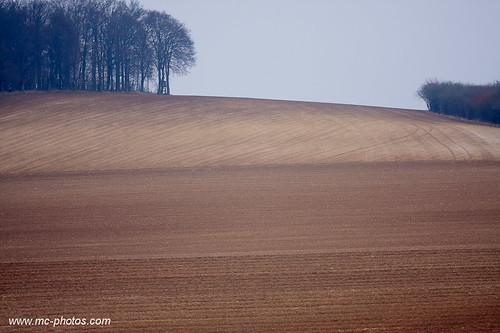
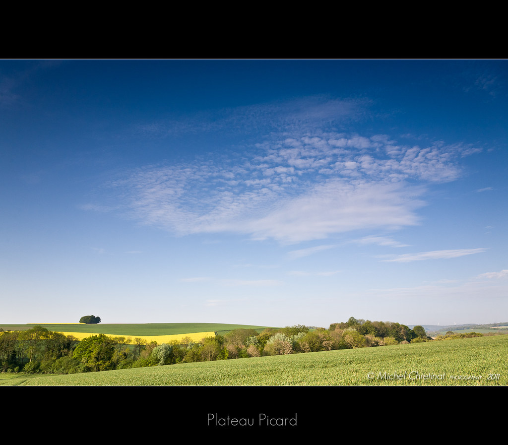
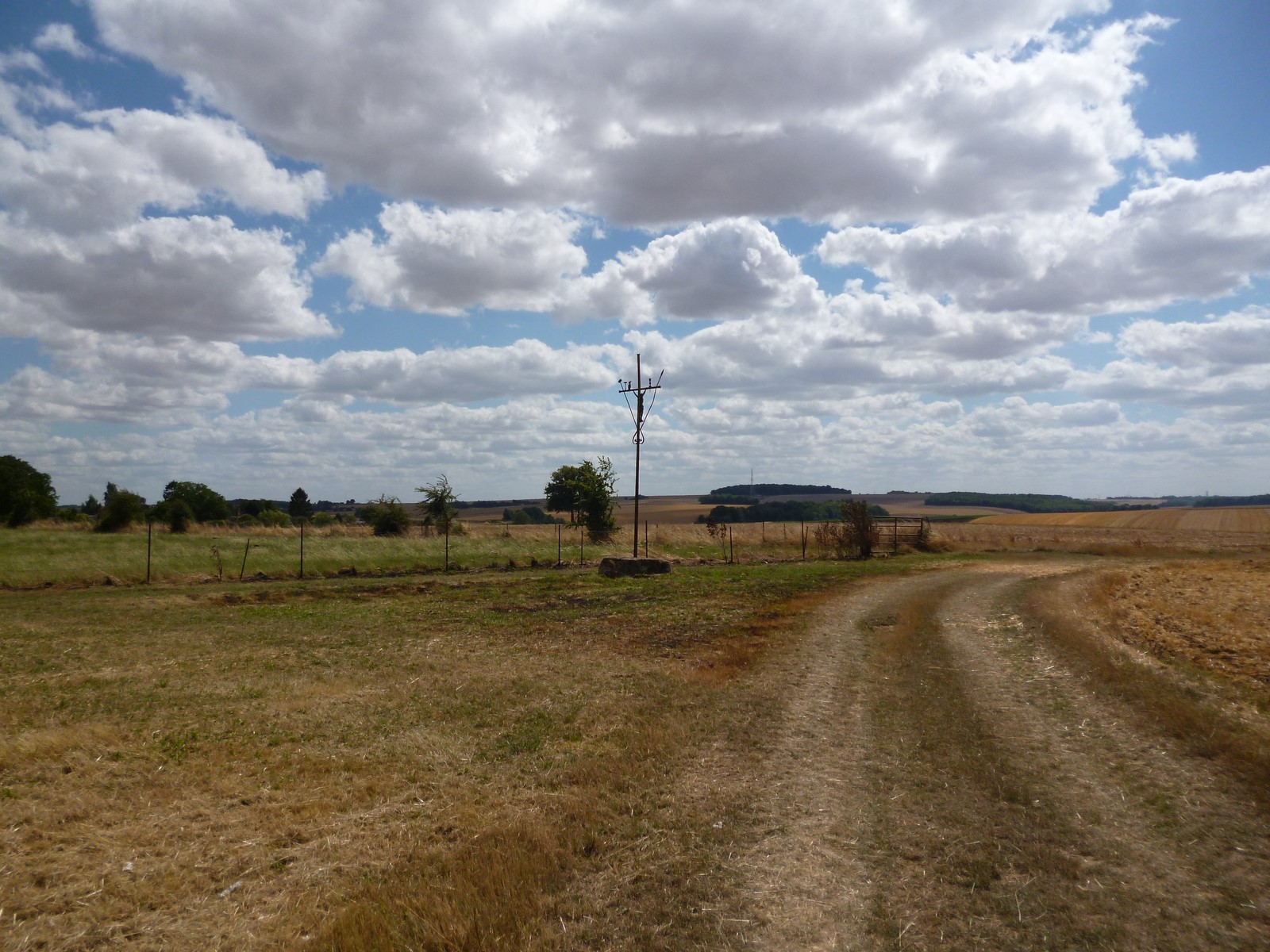
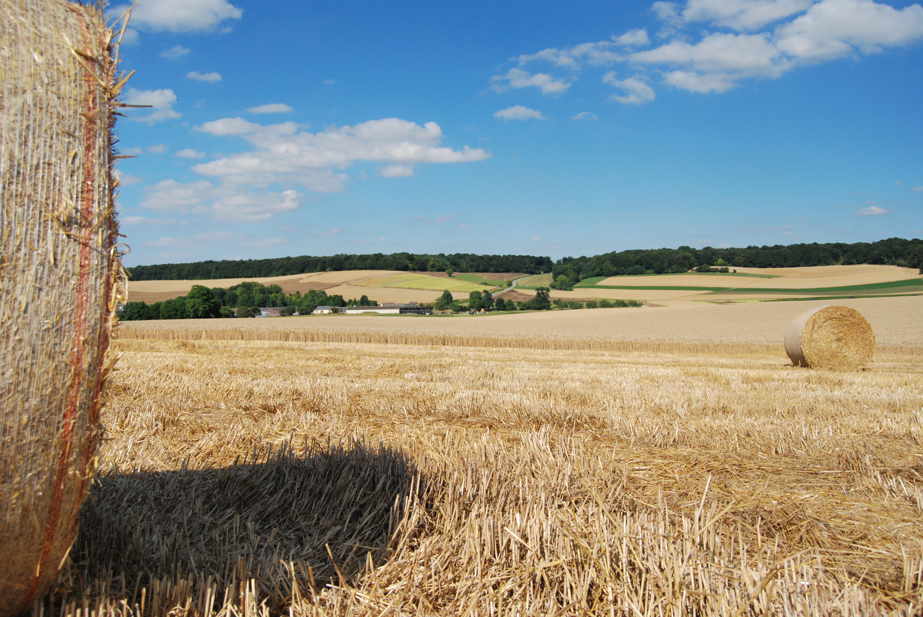
Plateau picard - Picardy plateau
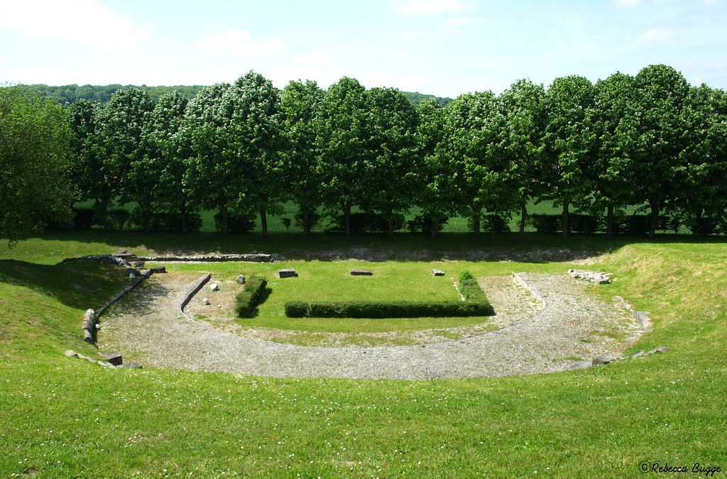
Theatre view
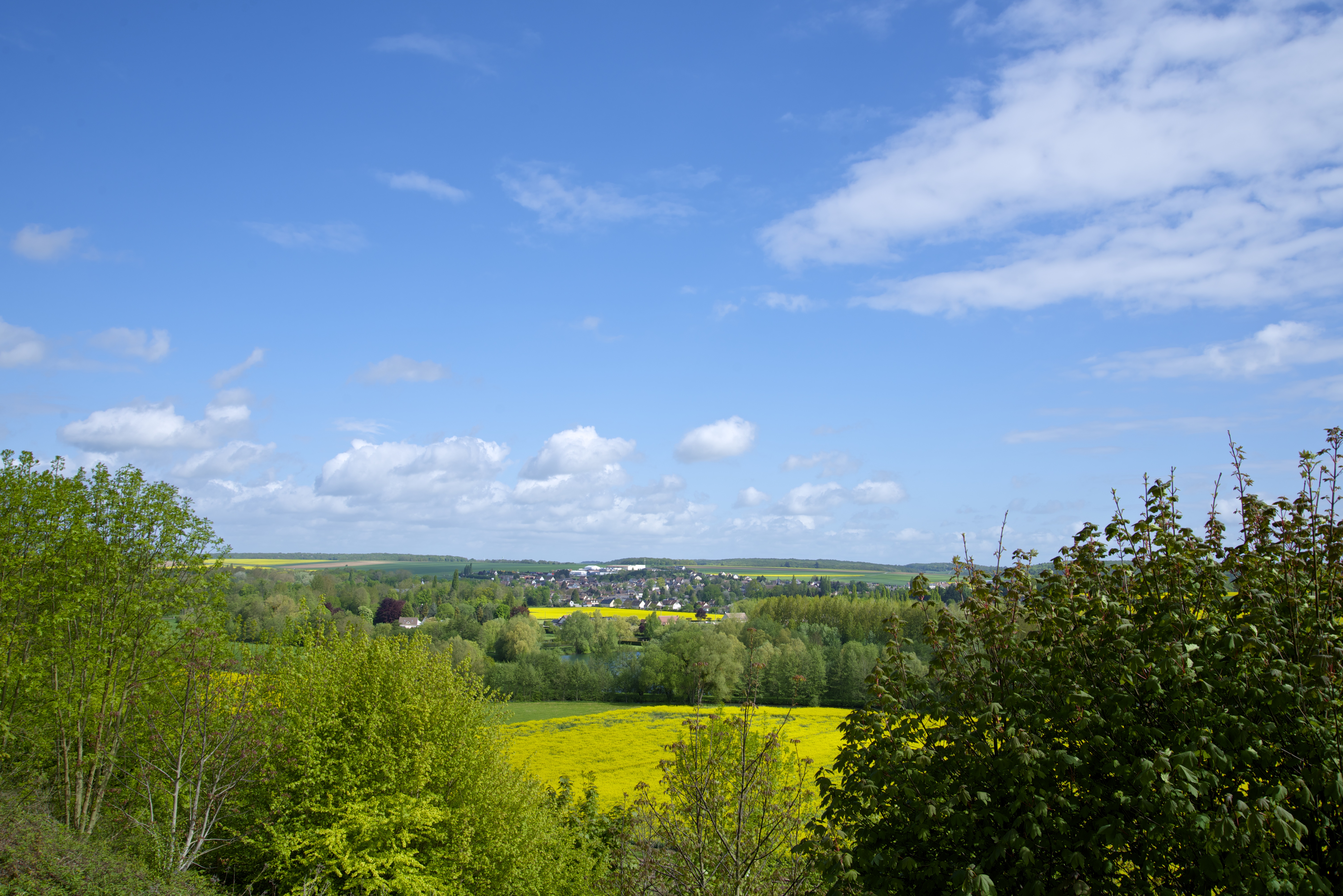
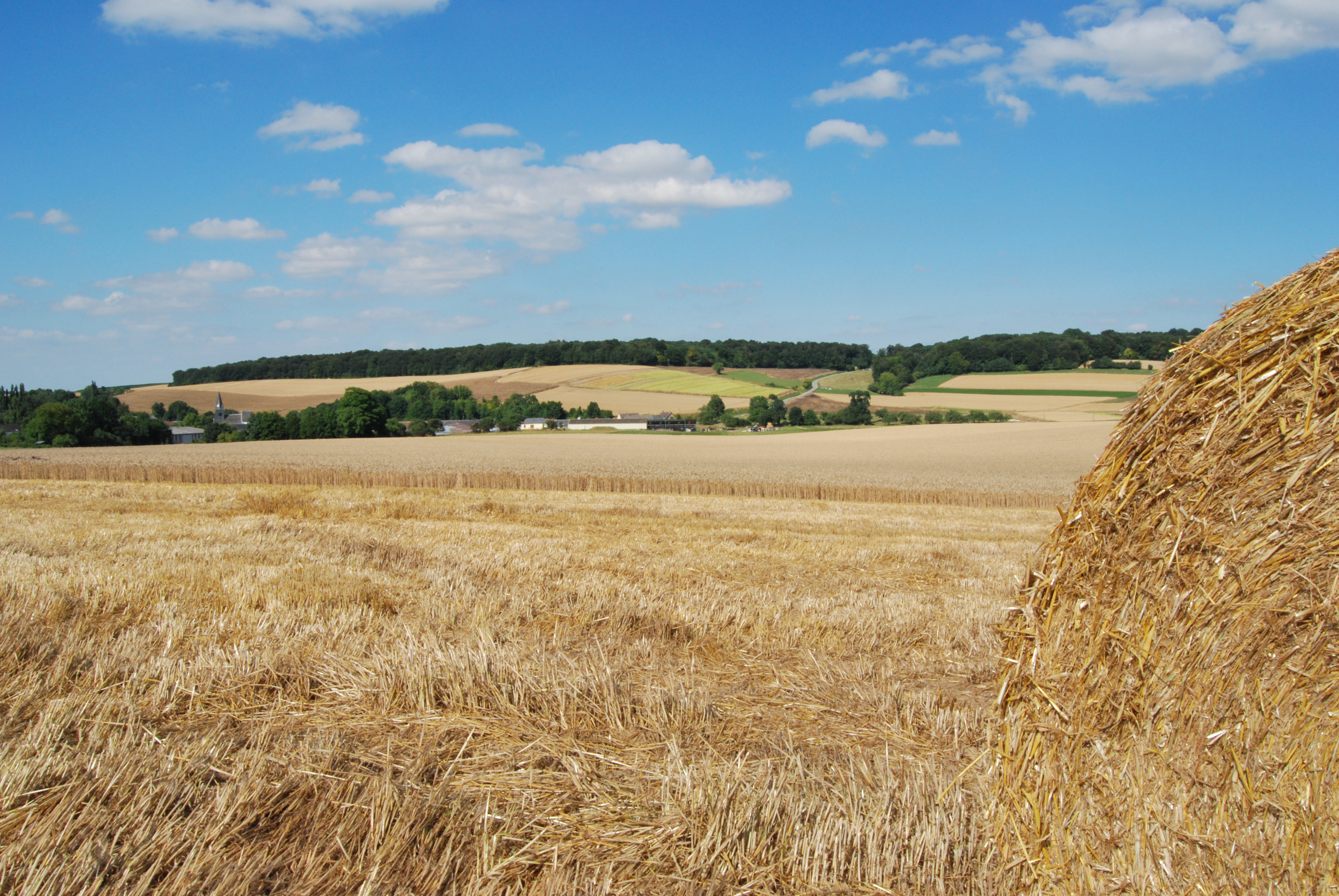
View from Fouquenies
Paysage d'hiver

... Honneur aux dames ...
Going up?!
Champ de lin coupé - Cut Flax Field

Château de Luzières
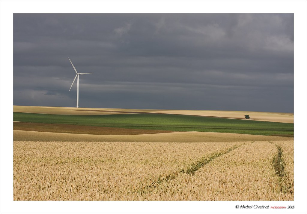
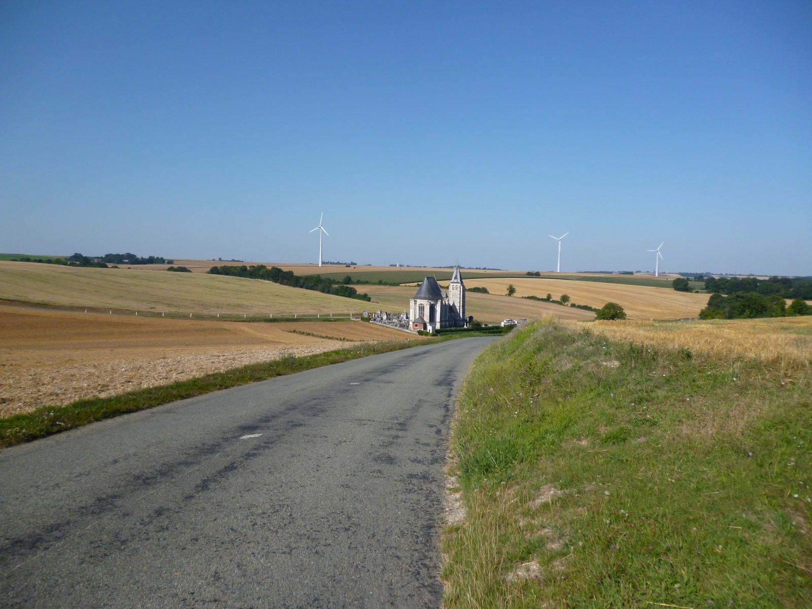
Eoliennes , Windmills
Fontaine Saint-Lucien
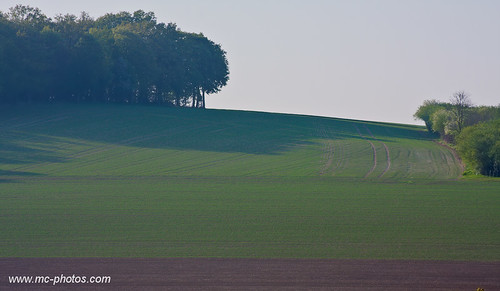
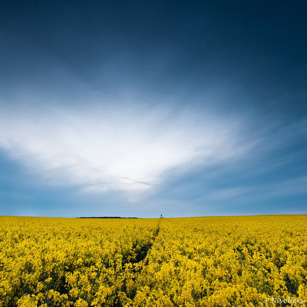
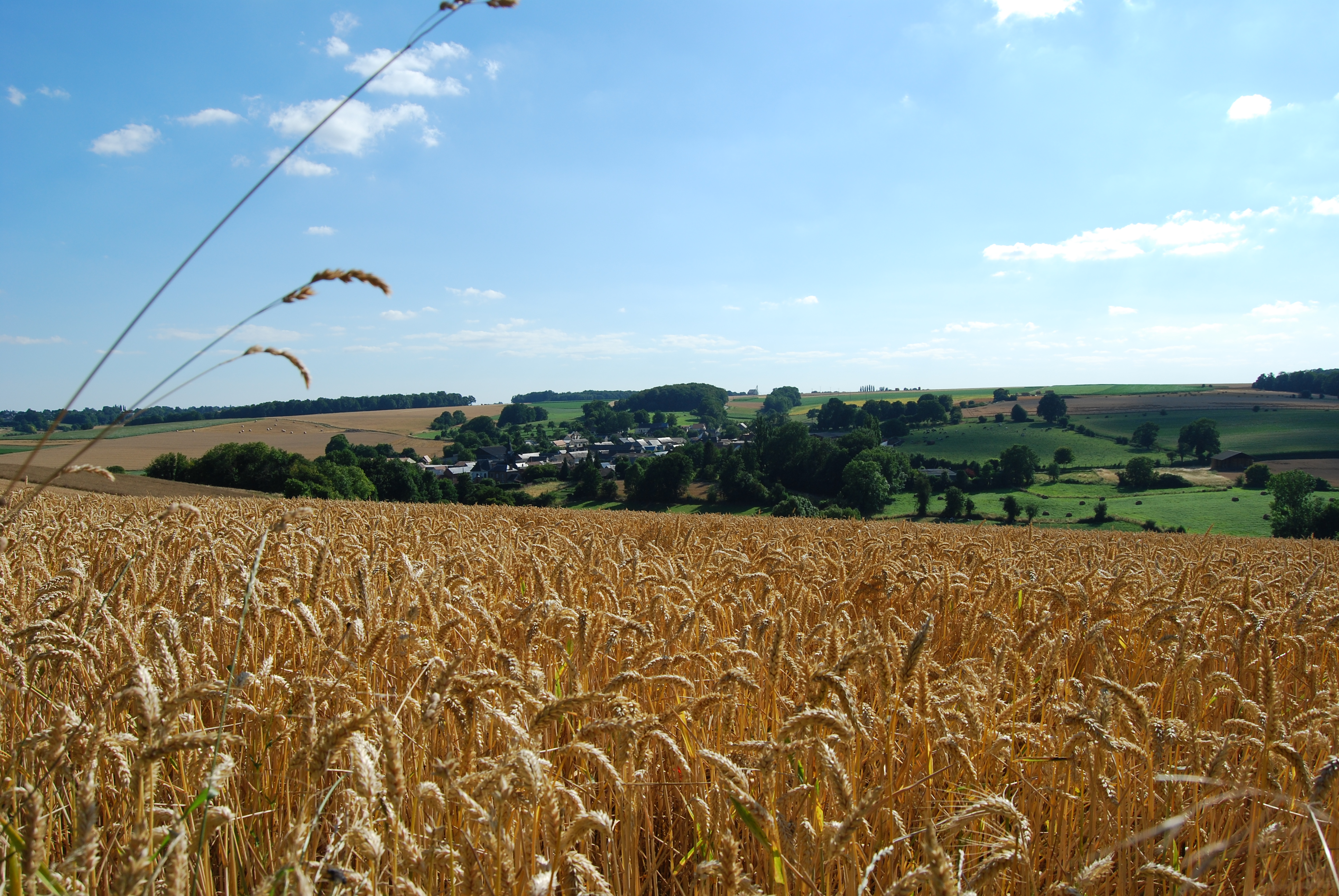
Plateau picard : paysage de printemps
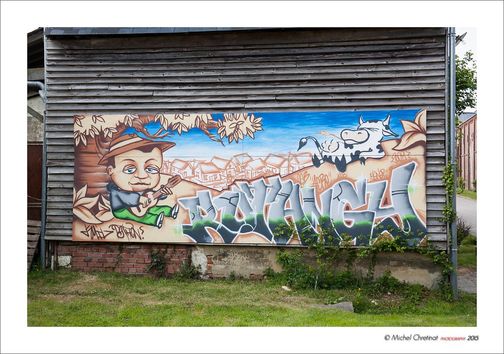
Graffiti Champêtre
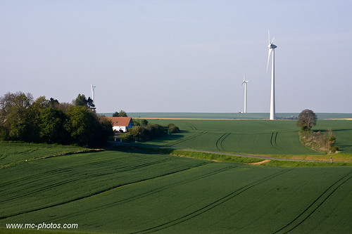
Eoliennes , Windmills
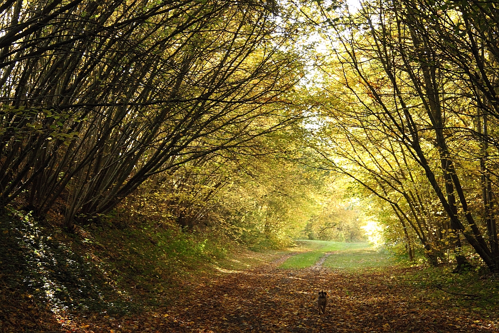
Lumière en sous bois

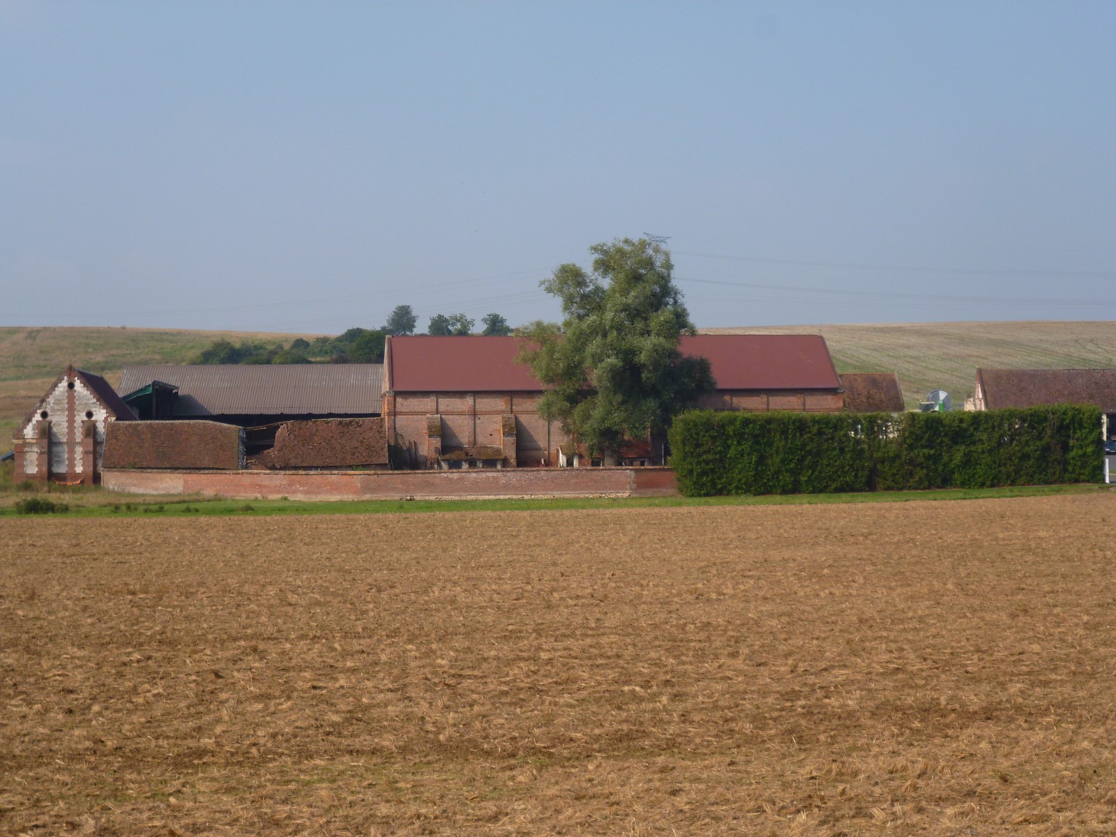
Mauzin à Tartigny (60)
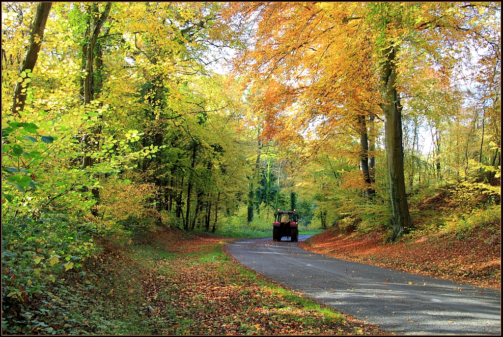
Route d'automne

Fontaine Bonneleau
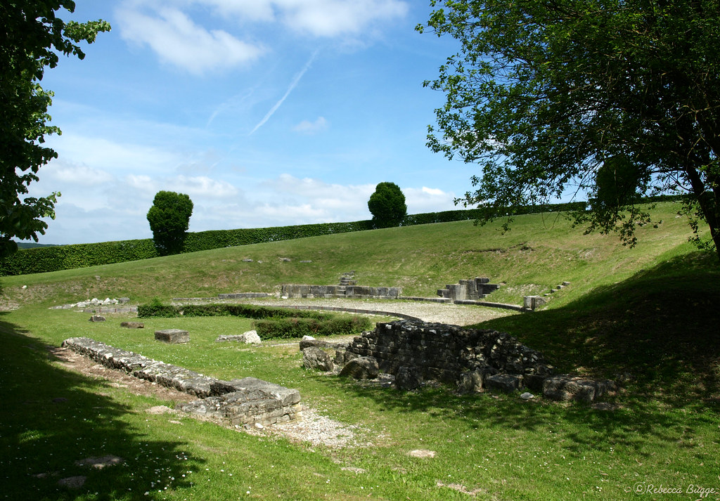
The ancient theatre

Mauzin à Fontaine Lavaganne (60)
Chasing the Light
Paysage de Picardie - Bonneleau

Paysage de Picardie : Le Quesnel-Aubry

Parigi 2015 - 023

Hétomesnil
W Calv Moulin (1)
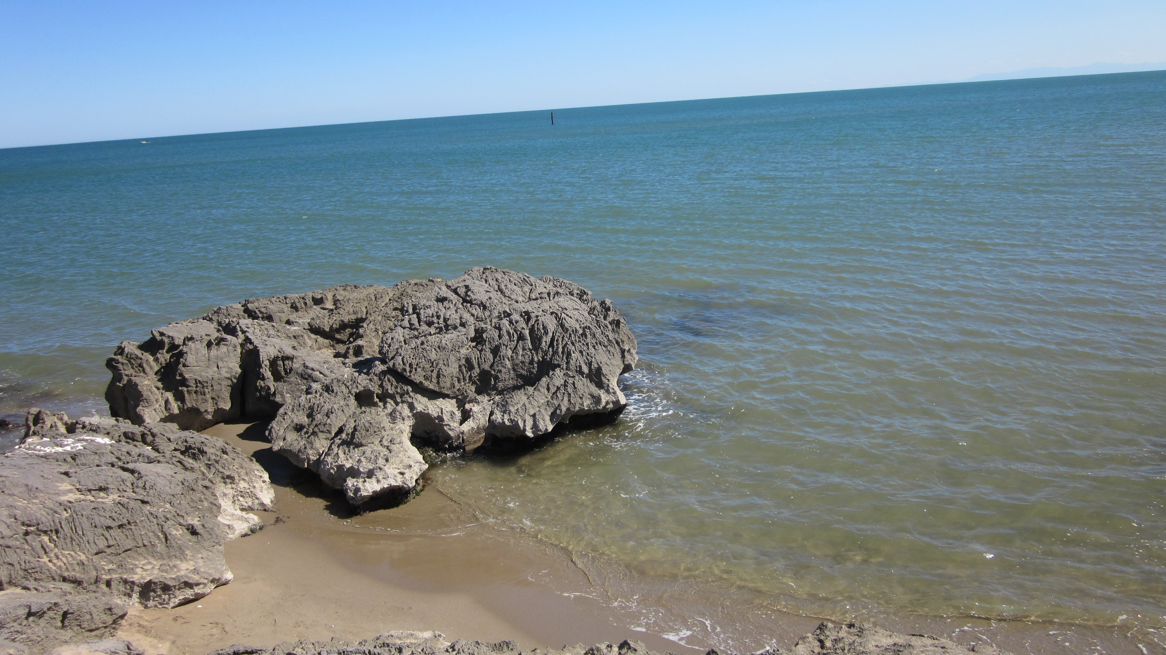
Saint Pierre la Mer commune de Fleury d' Aude est une station balénaire familiale.
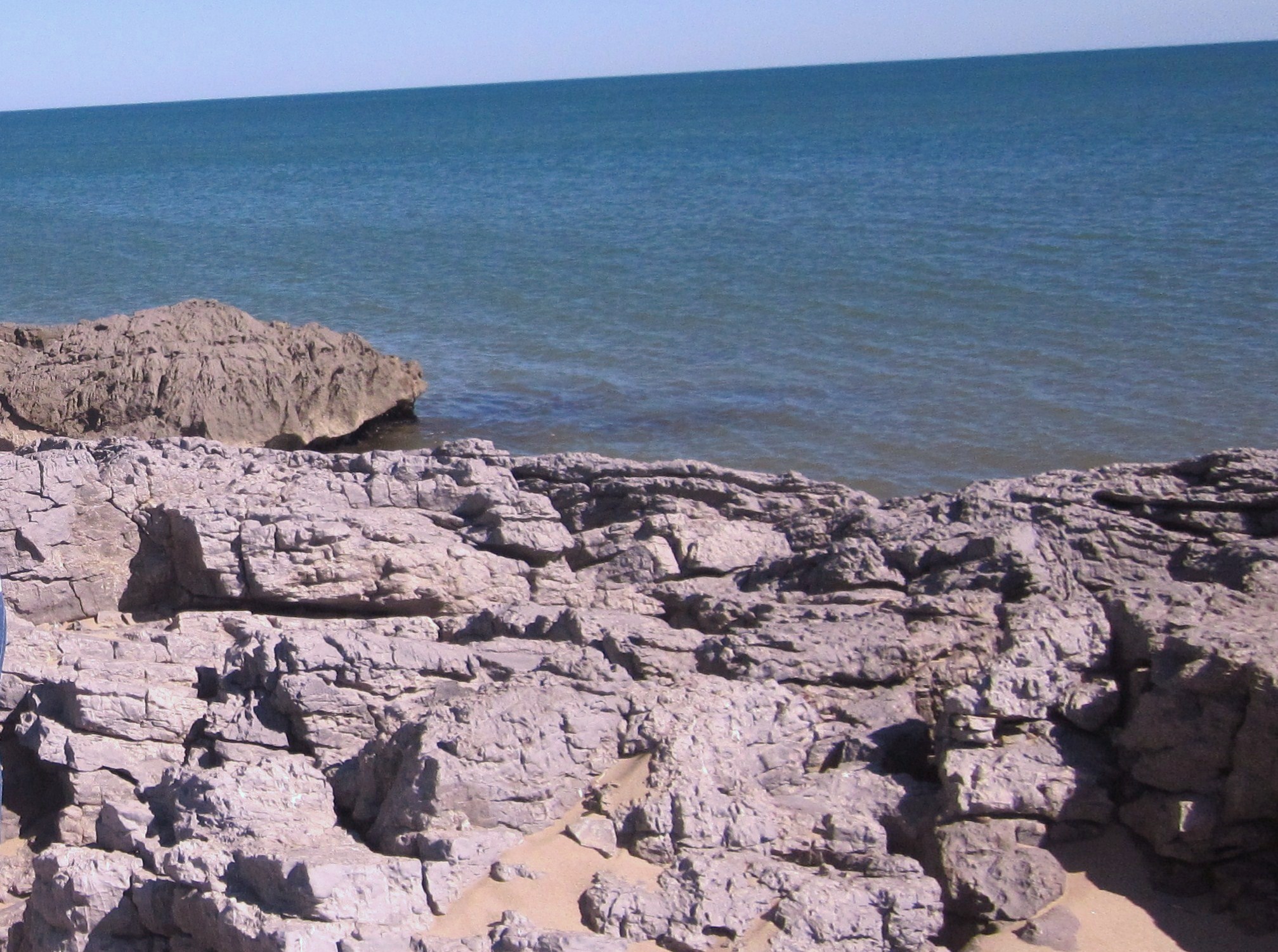
Saint Pierre la Mer commune de Fleury d' Aude.
Blancfossé
Blancfossé
Blancfossé
Mauregard (2)
EgliseSAF (2)
Topographic Map of 22 Rue de Beauvais, Francastel, France
Find elevation by address:

Places near 22 Rue de Beauvais, Francastel, France:
Francastel
Luchy
7 Rue de Beauvais, Luchy, France
Lihus
3 Gr Grande Rue, Lihus, France
Oudeuil
4 Rue de l'Église, Oudeuil, France
Tillé
6 Rue du Puymaigre, Tillé, France
Offoy
1b
1 Rue Adrien Normand, Contre, France
Contre
Bosquel
2 Rue Principale, Bosquel, France
Beauvais
1 Gr Grande Rue, Velennes, France
Velennes
8 Rue Vivaldi, Beauvais, France
Tartigny
Recent Searches:
- Elevation of Shibuya Scramble Crossing, 21 Udagawacho, Shibuya City, Tokyo -, Japan
- Elevation of Jadagoniai, Kaunas District Municipality, Lithuania
- Elevation of Pagonija rock, Kranto 7-oji g. 8"N, Kaunas, Lithuania
- Elevation of Co Rd 87, Jamestown, CO, USA
- Elevation of Tenjo, Cundinamarca, Colombia
- Elevation of Côte-des-Neiges, Montreal, QC H4A 3J6, Canada
- Elevation of Bobcat Dr, Helena, MT, USA
- Elevation of Zu den Ihlowbergen, Althüttendorf, Germany
- Elevation of Badaber, Peshawar, Khyber Pakhtunkhwa, Pakistan
- Elevation of SE Heron Loop, Lincoln City, OR, USA