Elevation of 21 Millbrook Stillwater Rd, Blairstown, NJ, USA
Location: United States > New Jersey > Warren County > Blairstown >
Longitude: -74.930764
Latitude: 41.0475332
Elevation: 308m / 1010feet
Barometric Pressure: 98KPa
Elevation Map:
Satellite Map:
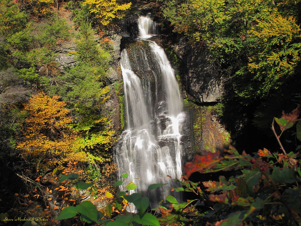
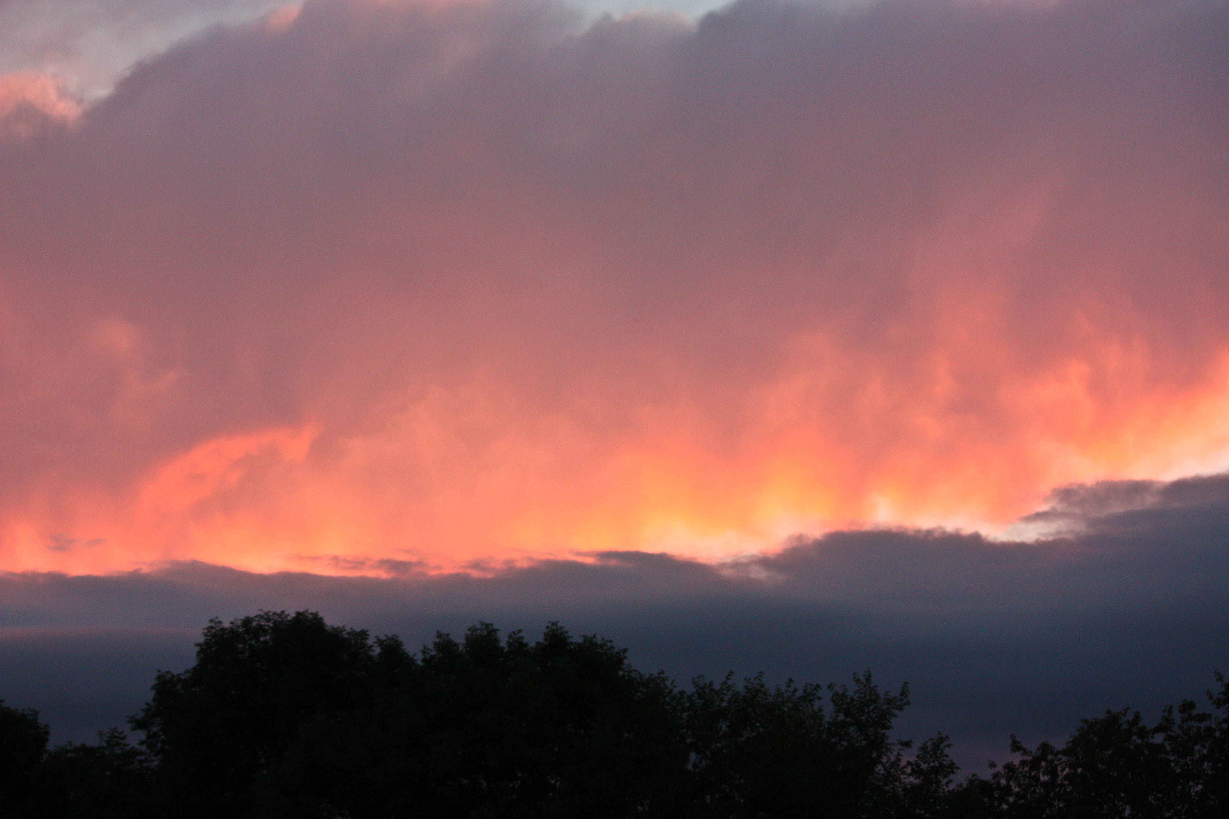
Related Photos:
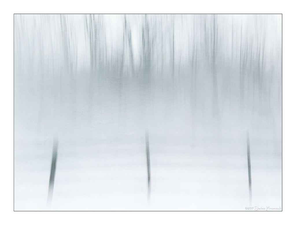
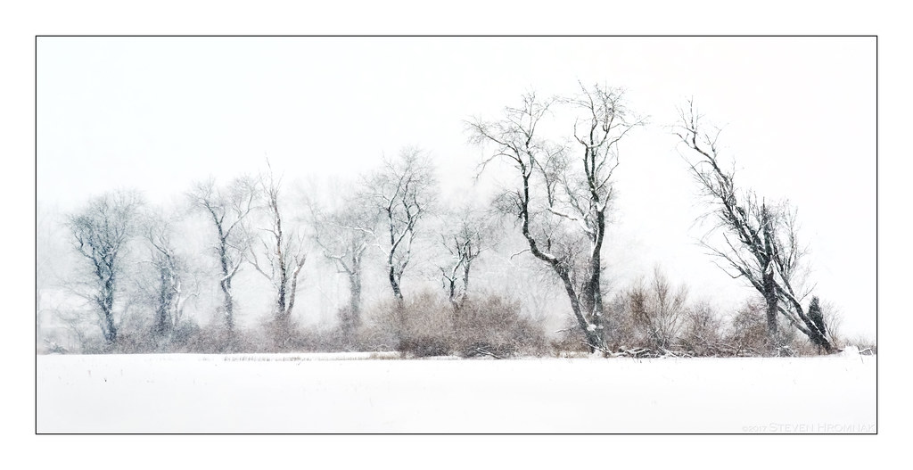
Winter's Desolation

The Old Cherry Tree in Winter

The Morning Meadow View ( Explored)
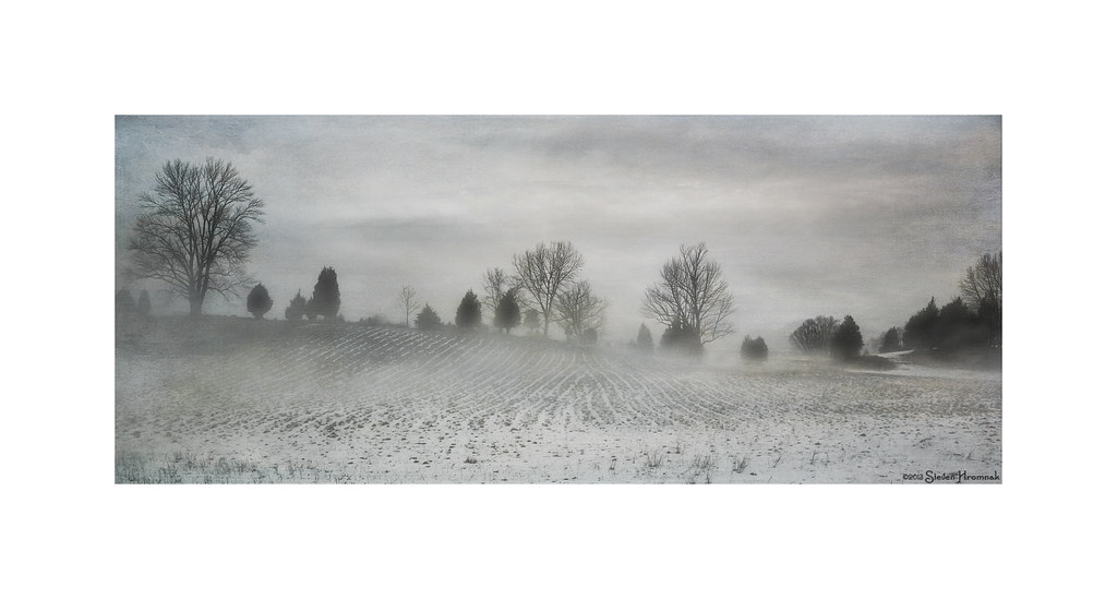
Winter's Glory
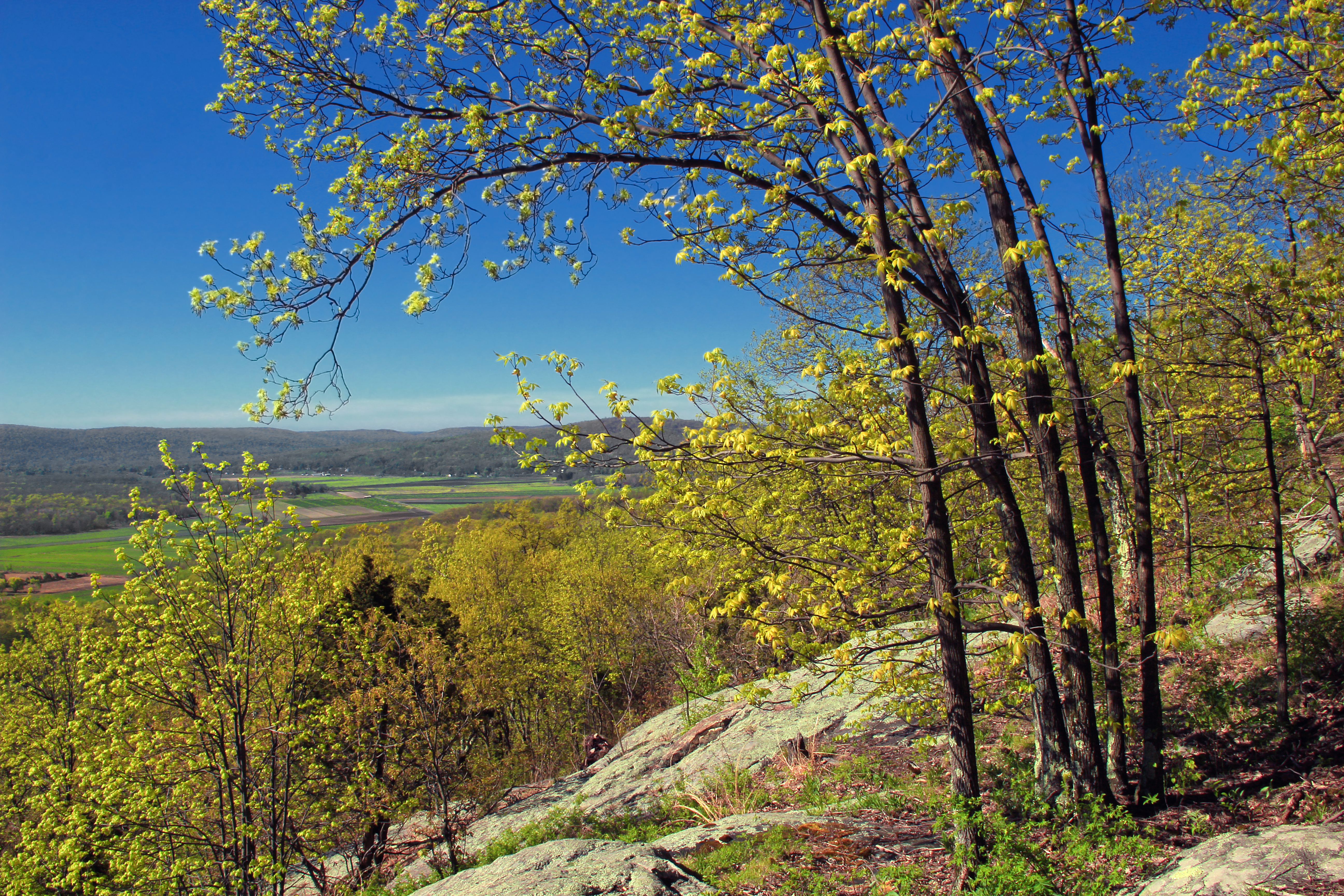
A View into Forever
A Beautiful End

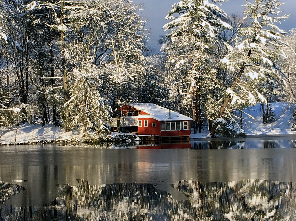
White Lake - A Three Sided View
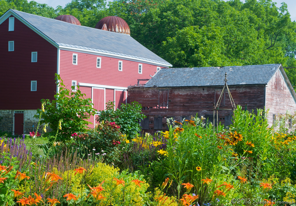
Vass Farmstead - The Garden

Sun Test - Waiting for the Eclipse
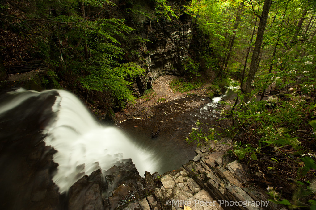
Happy Waterfall Wednesday!
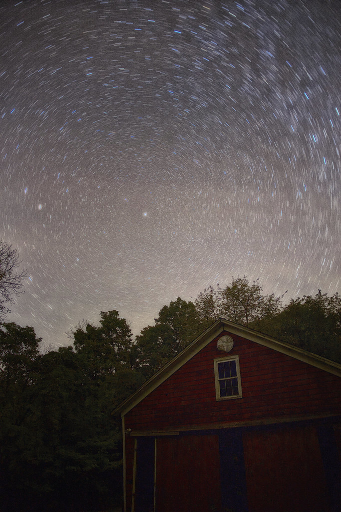
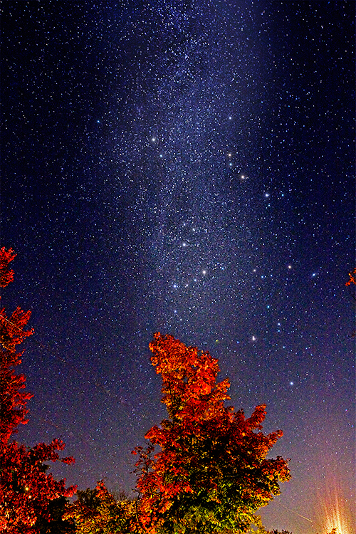
Stars Over the Homestead
View from the top of Bridal Veil Falls
Summit Trail (1)

Brodhead-Hellwr Farm Views 2
Sunfish Pond
A view from the bridge
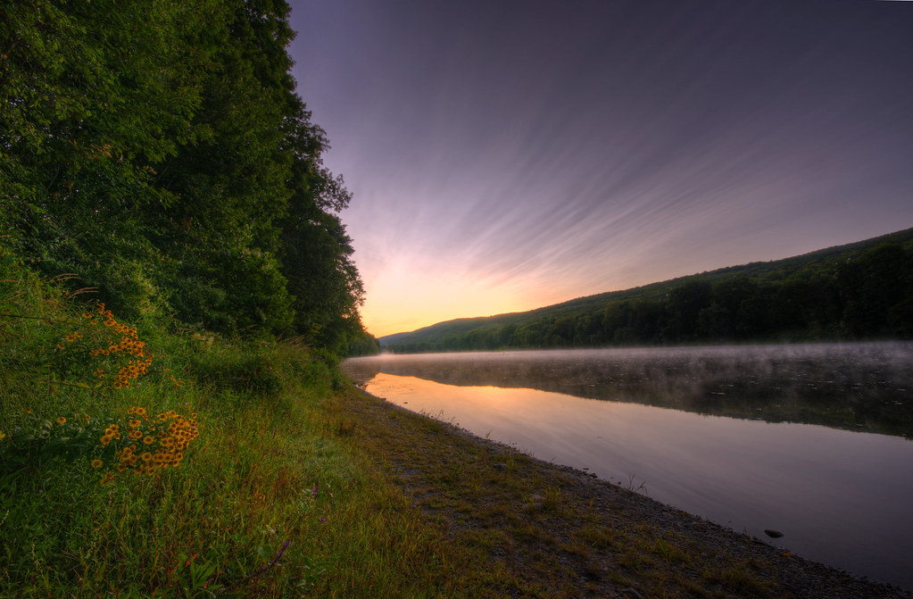
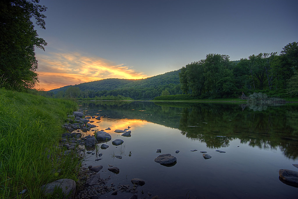
Sunset From the Deck
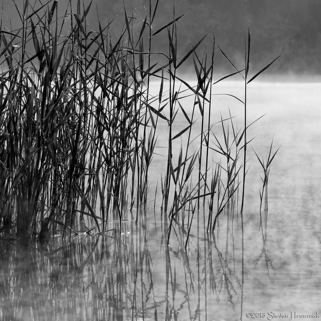
White Lake - Morning Reeds
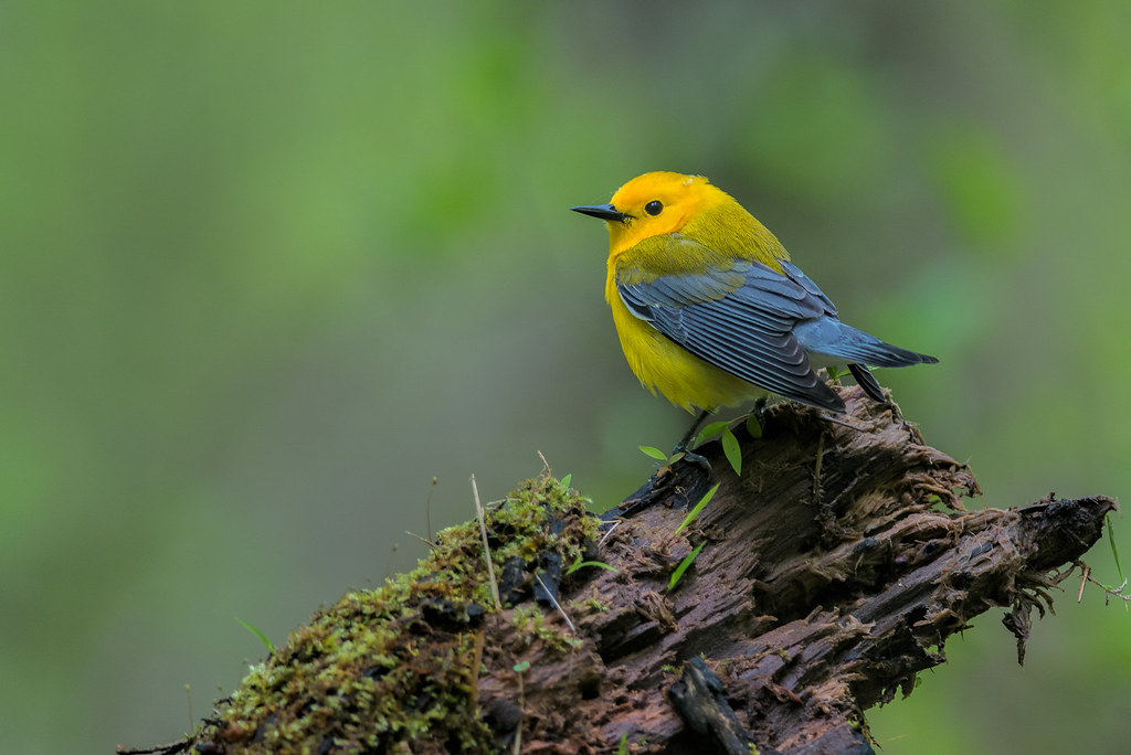
Prothonotary Warbler
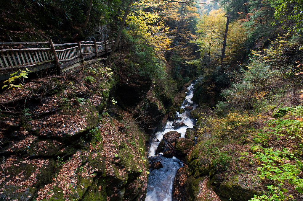
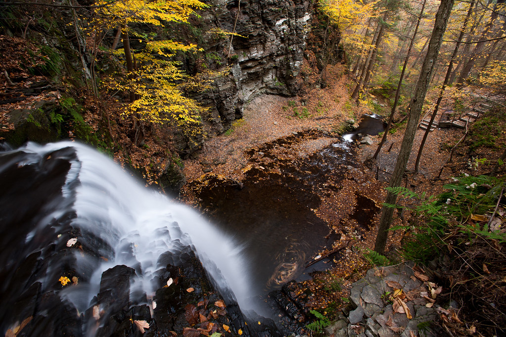
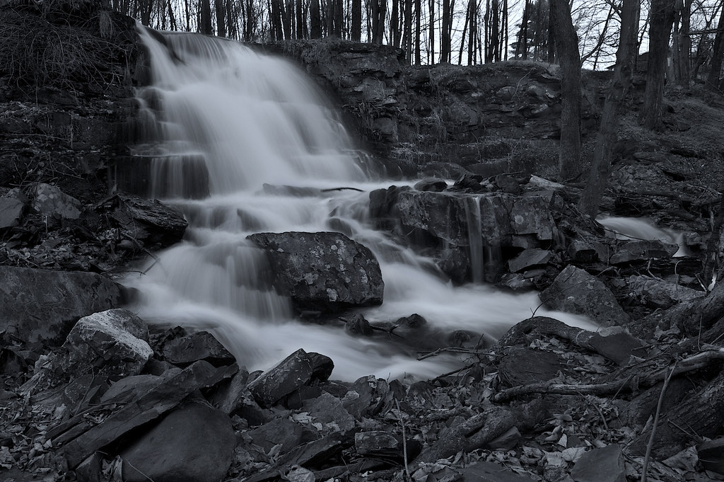
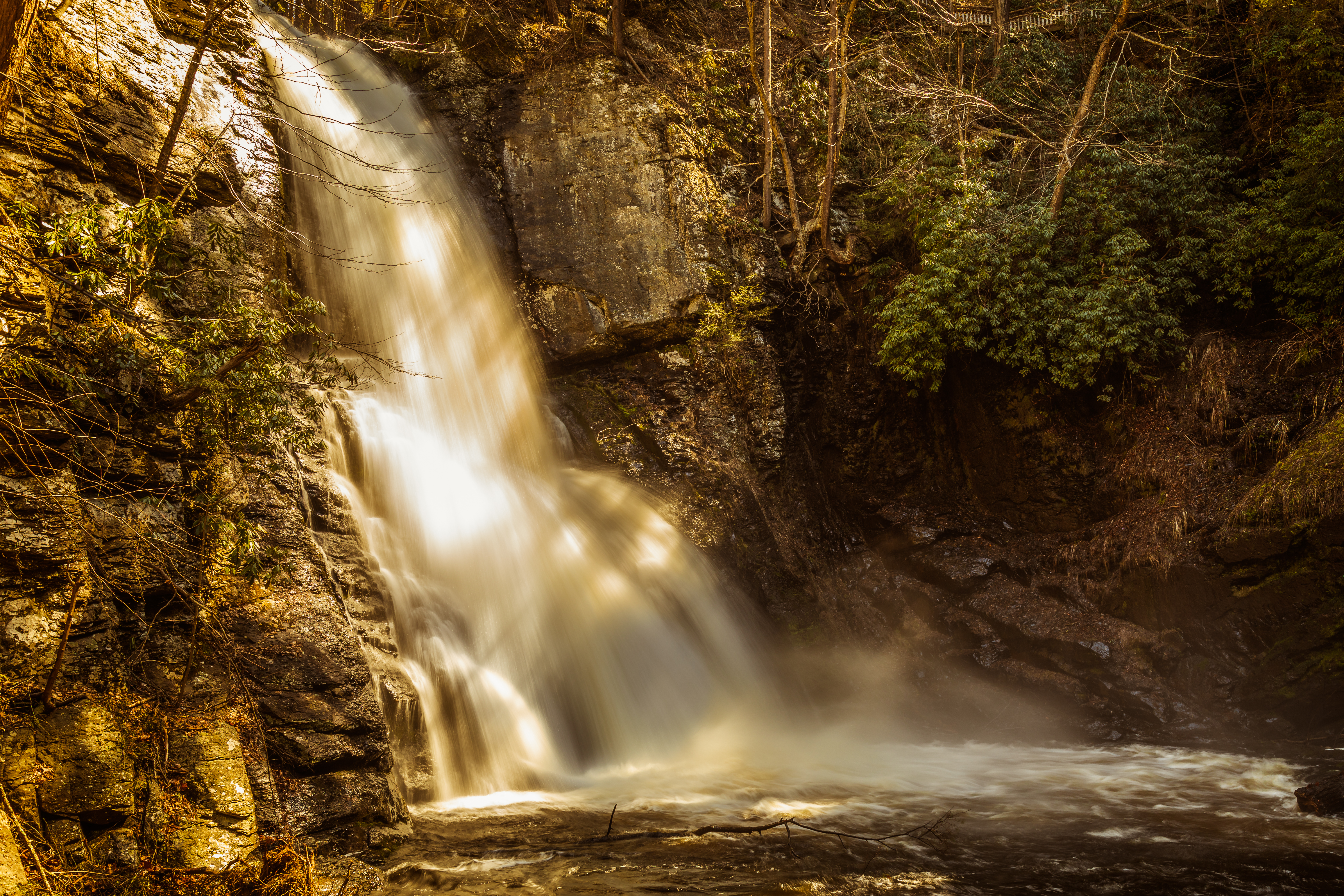
Bushkill Falls Gorge
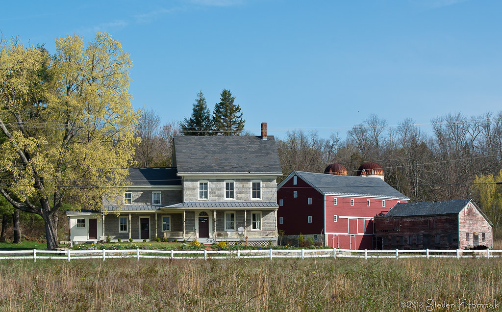
Vass House, Hardwick, New Jersey
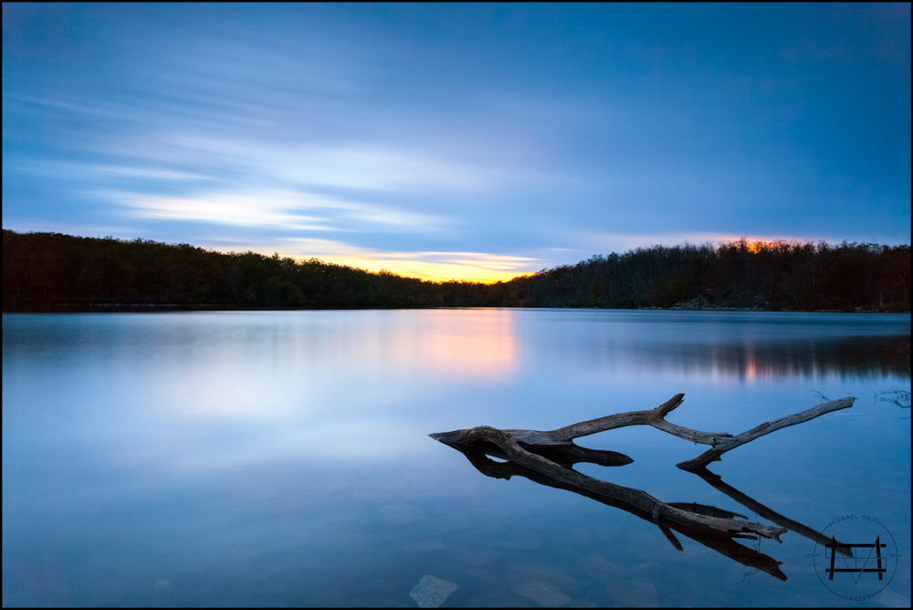
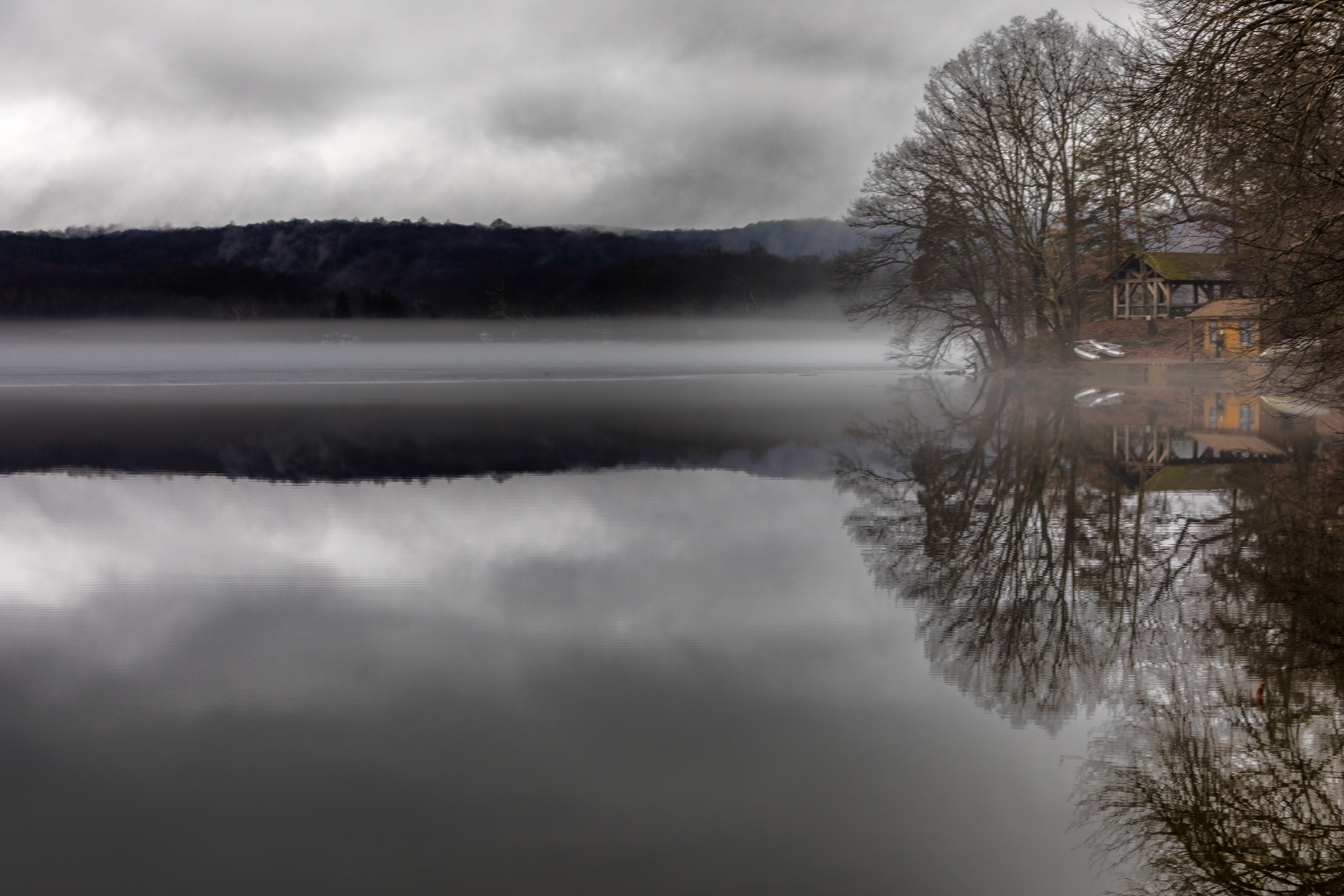
Parker Point at Meadow Lake
Winter Storm - 2017 Re-Mix
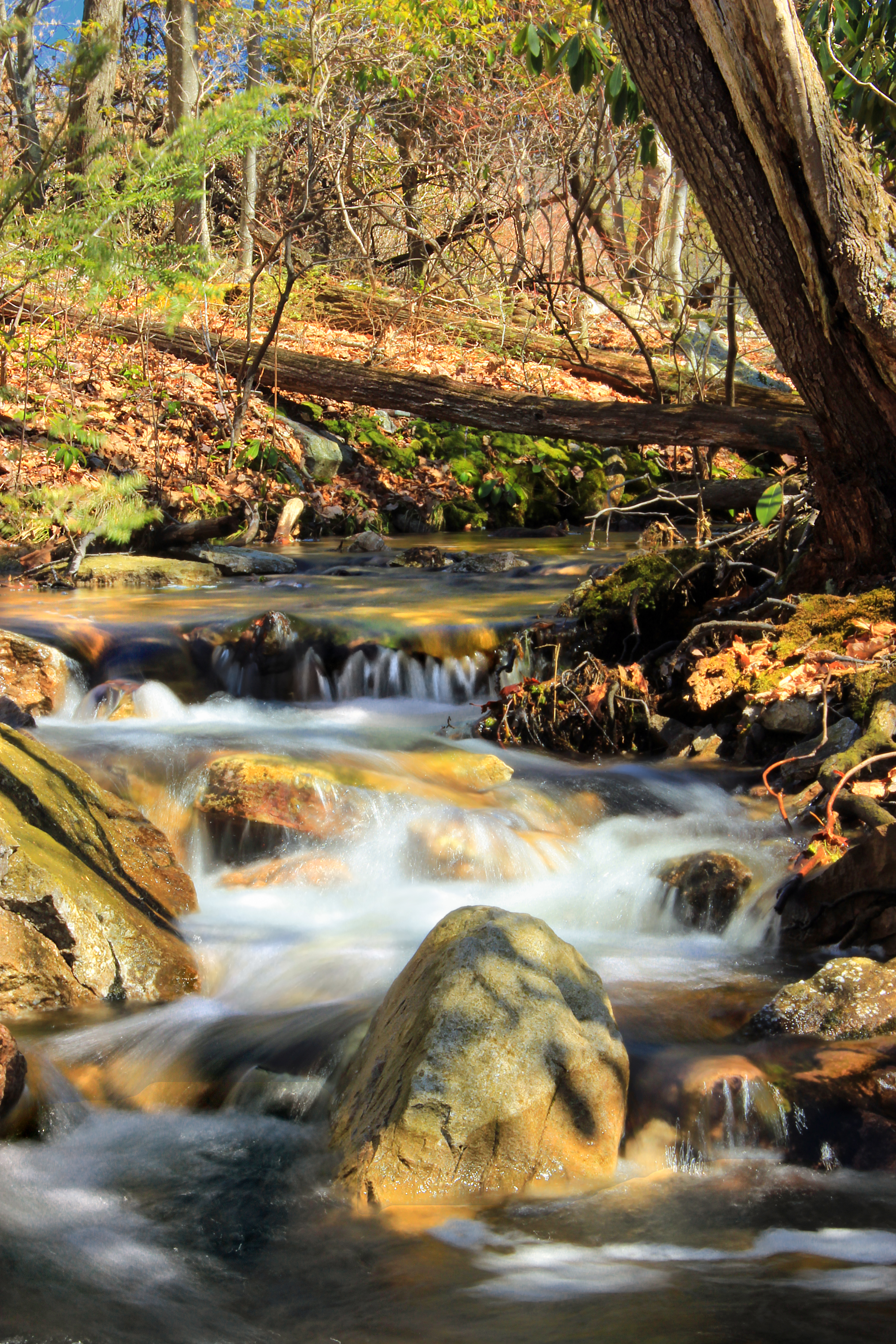
Hidden Falls
Late Winter.jpg

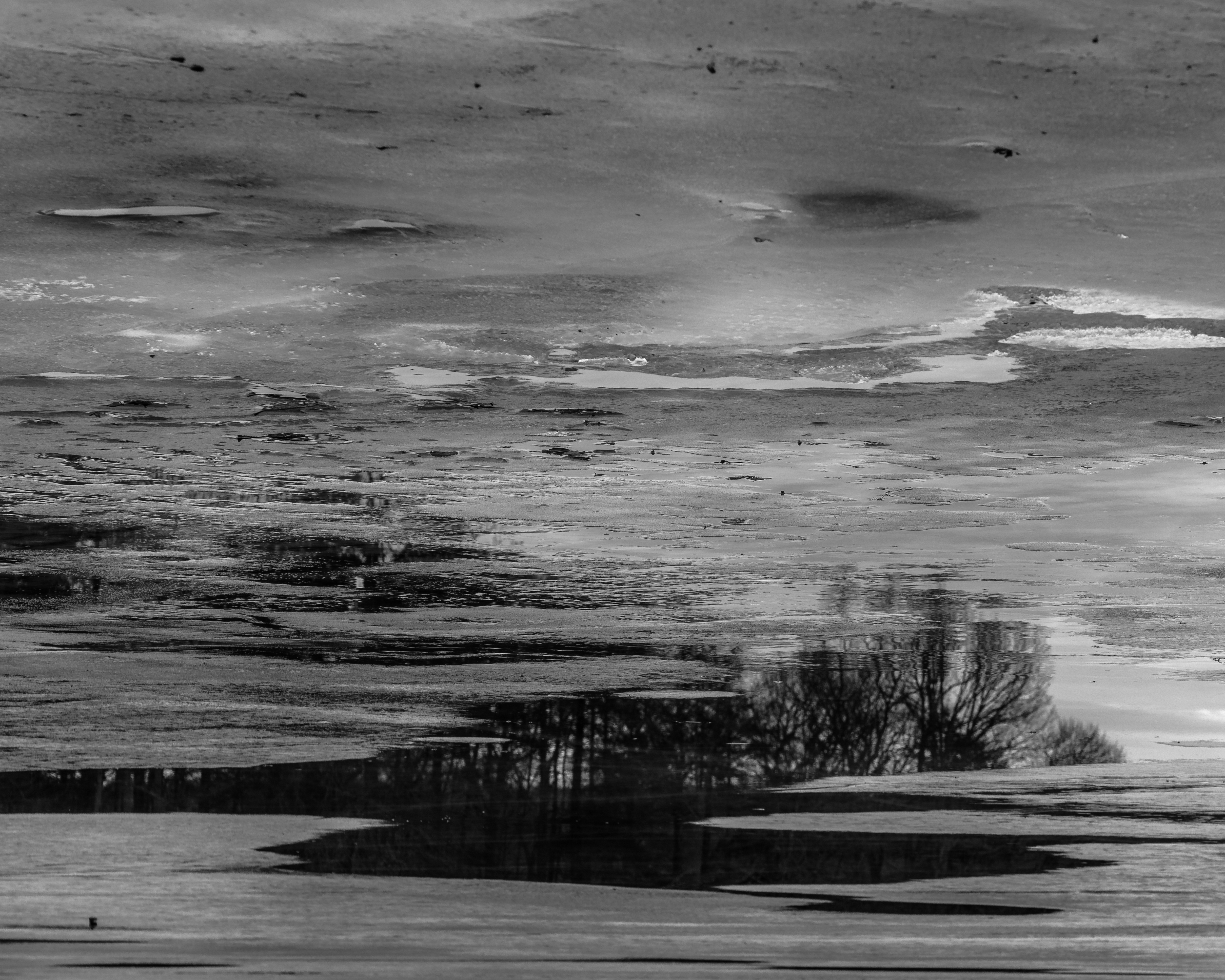
Harry's Cow Pasture Is Flooded!.jpg
Milky Way Autumn Fall IMG_2080

The New Jersey nobody sees

IMG_7228.jpg

IMG_7226.jpg
Icy Landscape.jpg

Sunset 7.jpg

Flying Blind.jpg
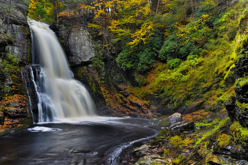
Bushkill Falls.jpg

Sunset 3.jpg
Outlet (1)

ANDOVER ABBEY
Bushkill Falls_8722
IMG_2658.jpg

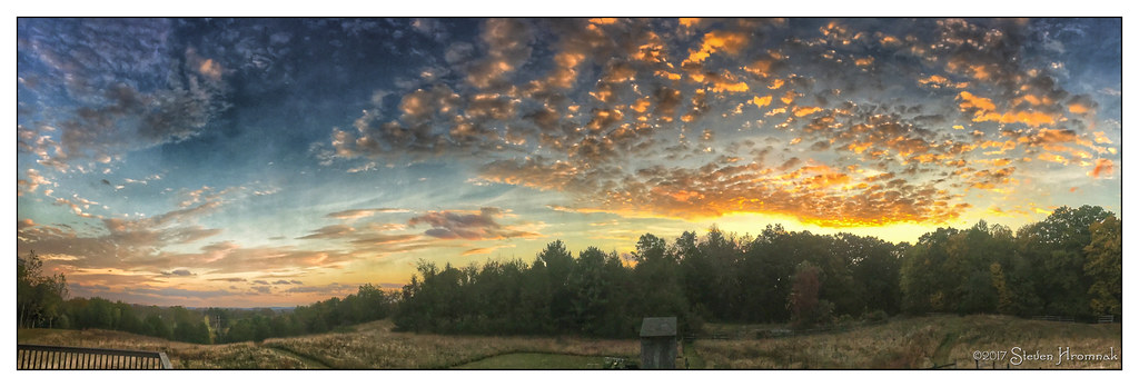
Easter Morning Clouds

IMG_2678.jpg
Topographic Map of 21 Millbrook Stillwater Rd, Blairstown, NJ, USA
Find elevation by address:

Places near 21 Millbrook Stillwater Rd, Blairstown, NJ, USA:
12 Millbrook Stillwater Rd
Hardwick
11 Sand Pond Rd, Hardwick, NJ, USA
4 Meadow Lake Dr
3 Mallard Pond Rd
135 Millbrook Rd
Millbrook Rd, Hardwick, NJ, USA
99 Millbrook Rd
45 Gaisler Rd
3 Haldiman Ln
40 Paulinskill Rd
Delaware Water Gap National Recreation Area
Blairstown, NJ, USA
NJ-94, Blairstown, NJ, USA
14 Stillwater Rd
60 Lincoln Laurel Rd
60 Lincoln Laurel Rd
60 Lincoln Laurel Rd
68 4 Corners Rd
Blairstown
Recent Searches:
- Elevation of Groblershoop, South Africa
- Elevation of Power Generation Enterprises | Industrial Diesel Generators, Oak Ave, Canyon Country, CA, USA
- Elevation of Chesaw Rd, Oroville, WA, USA
- Elevation of N, Mt Pleasant, UT, USA
- Elevation of 6 Rue Jules Ferry, Beausoleil, France
- Elevation of Sattva Horizon, 4JC6+G9P, Vinayak Nagar, Kattigenahalli, Bengaluru, Karnataka, India
- Elevation of Great Brook Sports, Gold Star Hwy, Groton, CT, USA
- Elevation of 10 Mountain Laurels Dr, Nashua, NH, USA
- Elevation of 16 Gilboa Ln, Nashua, NH, USA
- Elevation of Laurel Rd, Townsend, TN, USA