Elevation of 20 Chemin des Bruyères, Romorantin-Lanthenay, France
Location: France > Centre > Loir-et-cher > Romorantin-lanthenay >
Longitude: 1.7470632
Latitude: 47.3836651
Elevation: 106m / 348feet
Barometric Pressure: 100KPa
Elevation Map:
Satellite Map:
Related Photos:

#sunset #sunrise #sun #TagsForLikes #TFLers #pretty #beautiful #red #orange #pink #sky #skyporn #cloudporn #nature #clouds #horizon #photooftheday #instagood #gorgeous #warm #view #night #morning #silhouette #instasky #all_sunsets
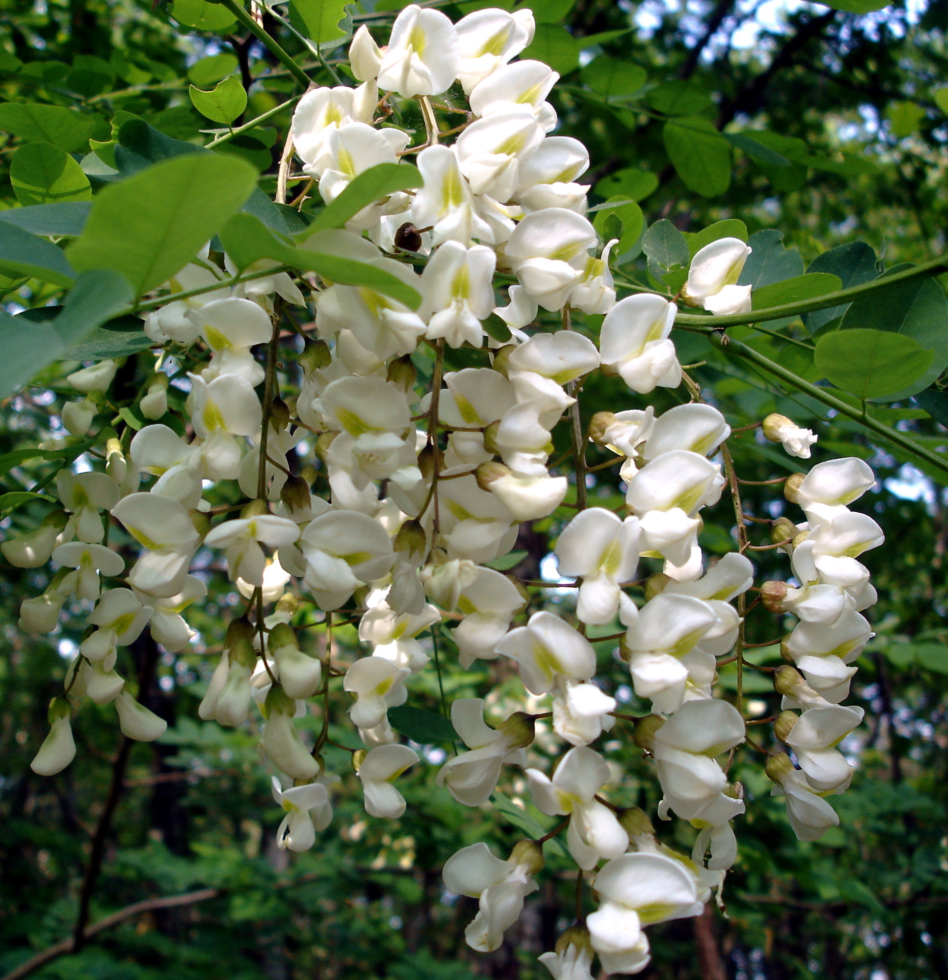
White cascade
Marcilly-en-Gault - Loir-et-Cher

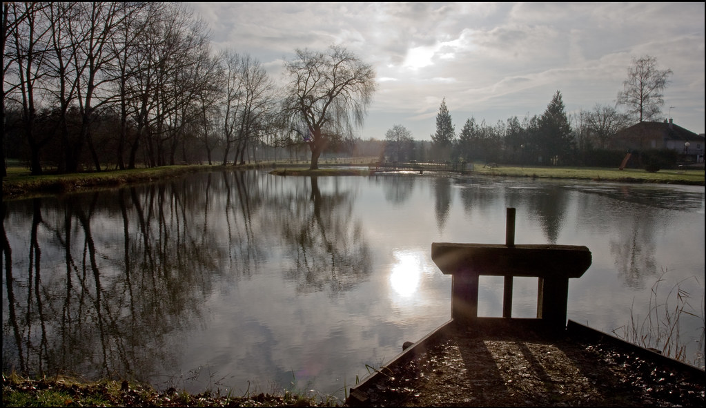
The water level in the river through Romoratin-Lathenay was still very high mid June
De l'hiver j'ai appris la fuite ...

The water level in the river through Romoratin-Lathenay was still very high mid June
Selles-Saint-Denis (Loir-et-Cher).
Created with layrs app @layrsapp #layrs#nature #TagsForLikes #sky #sun #summer #beach #beautiful #pretty #sunset #sunrise #blue #flowers #night #tree #twilight #clouds #beauty #light #cloudporn #photooftheday #love #green #skylovers #dusk #weather #day #r
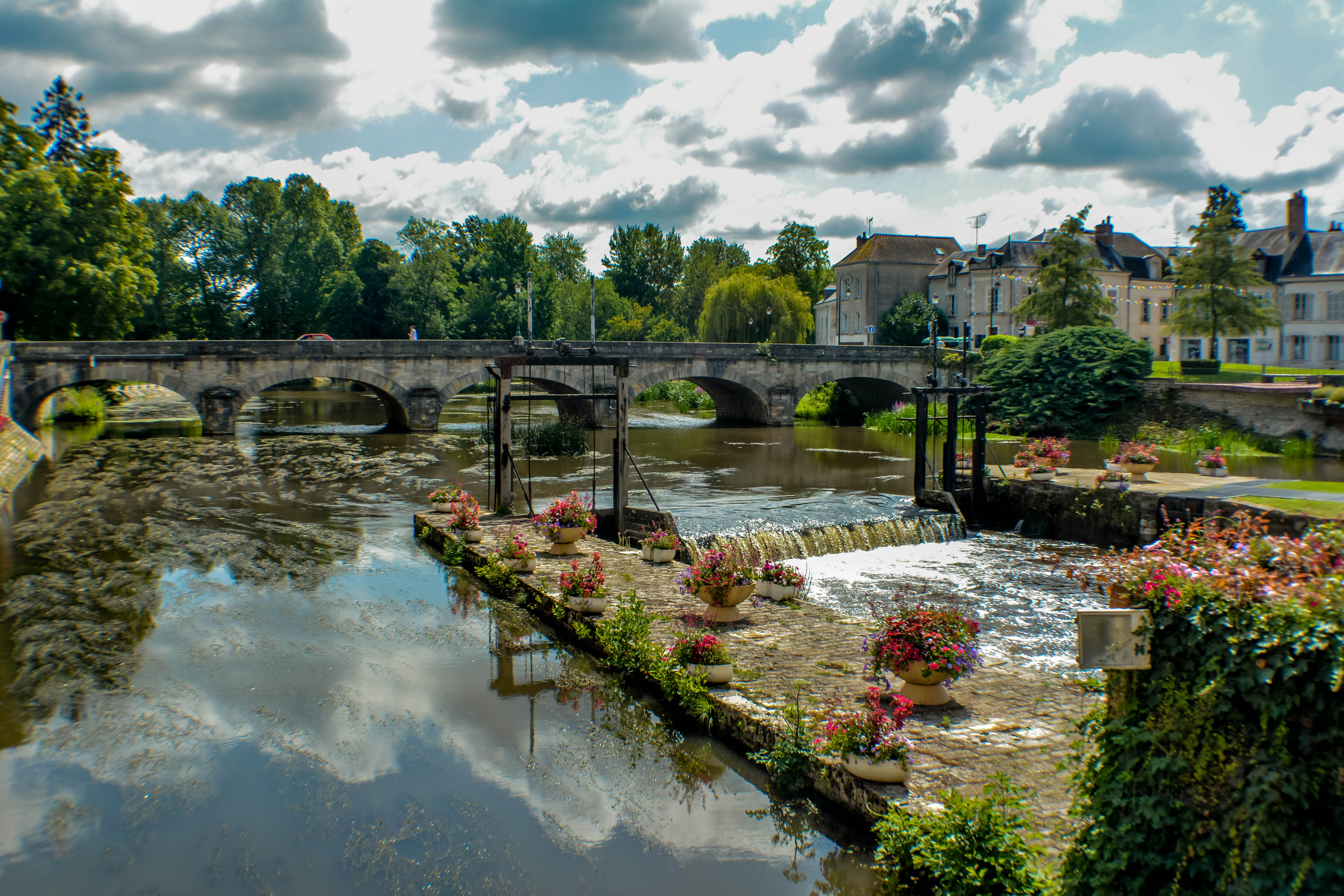
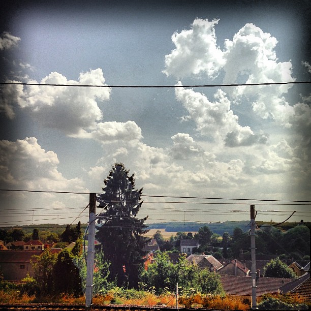
Romorantin-Lanthenay
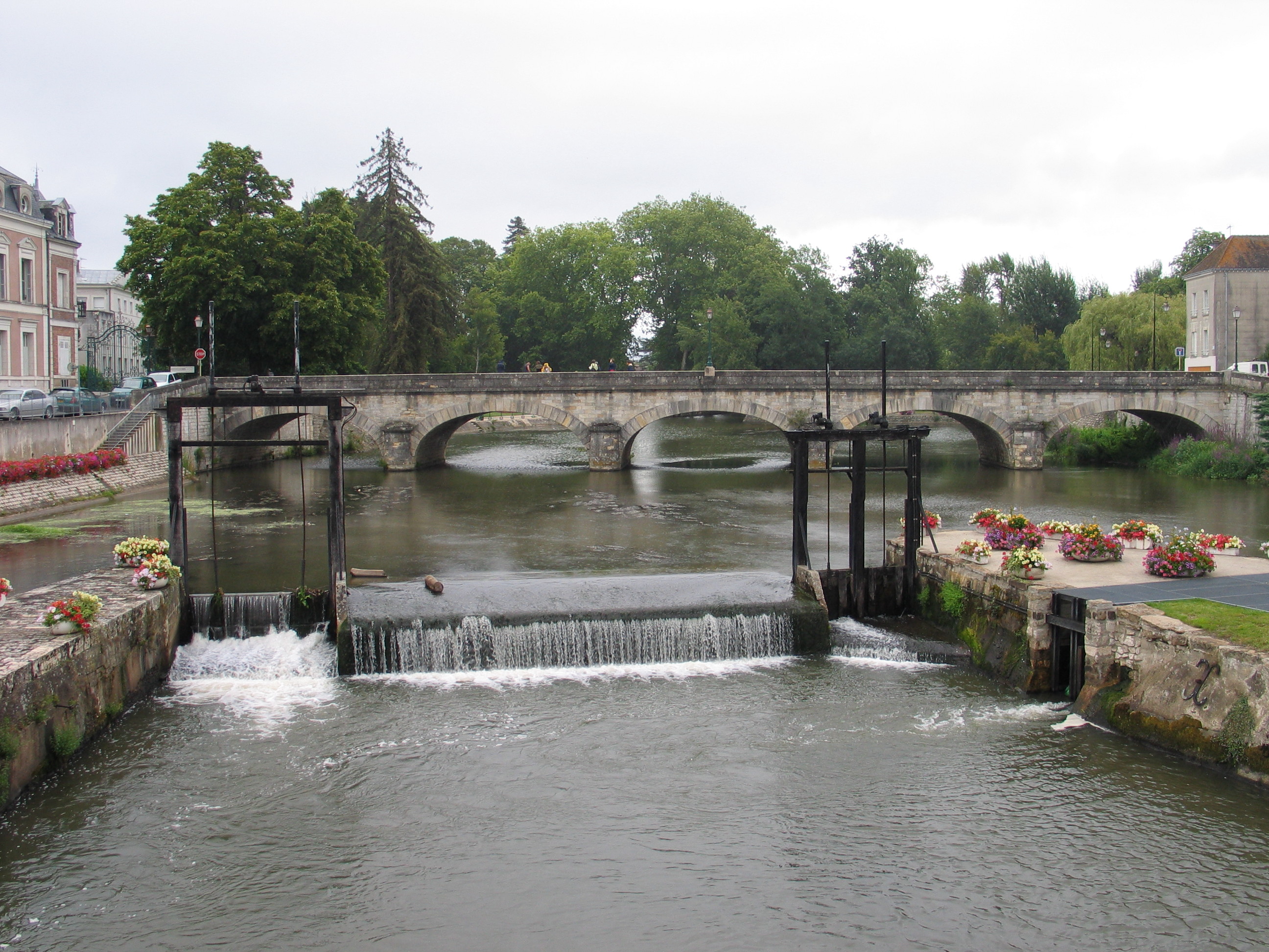
Romorantin, Sauldre
Topographic Map of 20 Chemin des Bruyères, Romorantin-Lanthenay, France
Find elevation by address:

Places near 20 Chemin des Bruyères, Romorantin-Lanthenay, France:
Romorantin-lanthenay
49 Rue Victor Hugo, Pruniers-en-Sologne, France
Pruniers-en-sologne
Gièvres
11 Cornereau, Dun-le-Poëlier, France
Dun-le-poëlier
La Ferté-imbault
5 Rue des Fossés, La Ferté-Imbault, France
10 Gr Grande Rue, Villeny, France
Villeny
La Vernelle
Poulaines
6 La Monatière, La Vernelle, France
36 Route du Tertre, Méry-sur-Cher, France
Méry-sur-cher
Valençay
Nohant-en-graçay
2 Route de Lenay, Nohant-en-Graçay, France
14 Lotissement des Châtaigniers, Valençay, France
4 La Moinerie, Poulaines, France
Recent Searches:
- Elevation of Tenjo, Cundinamarca, Colombia
- Elevation of Côte-des-Neiges, Montreal, QC H4A 3J6, Canada
- Elevation of Bobcat Dr, Helena, MT, USA
- Elevation of Zu den Ihlowbergen, Althüttendorf, Germany
- Elevation of Badaber, Peshawar, Khyber Pakhtunkhwa, Pakistan
- Elevation of SE Heron Loop, Lincoln City, OR, USA
- Elevation of Slanický ostrov, 01 Námestovo, Slovakia
- Elevation of Spaceport America, Co Rd A, Truth or Consequences, NM, USA
- Elevation of Warwick, RI, USA
- Elevation of Fern Rd, Whitmore, CA, USA