Elevation of 1st St, Bode, IA, USA
Location: United States > Iowa > Humboldt County > Delana > Bode >
Longitude: -94.289540
Latitude: 42.8684889
Elevation: 351m / 1152feet
Barometric Pressure: 97KPa
Elevation Map:
Satellite Map:
Related Photos:
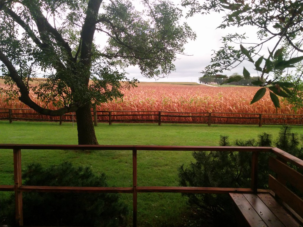
View of the farm

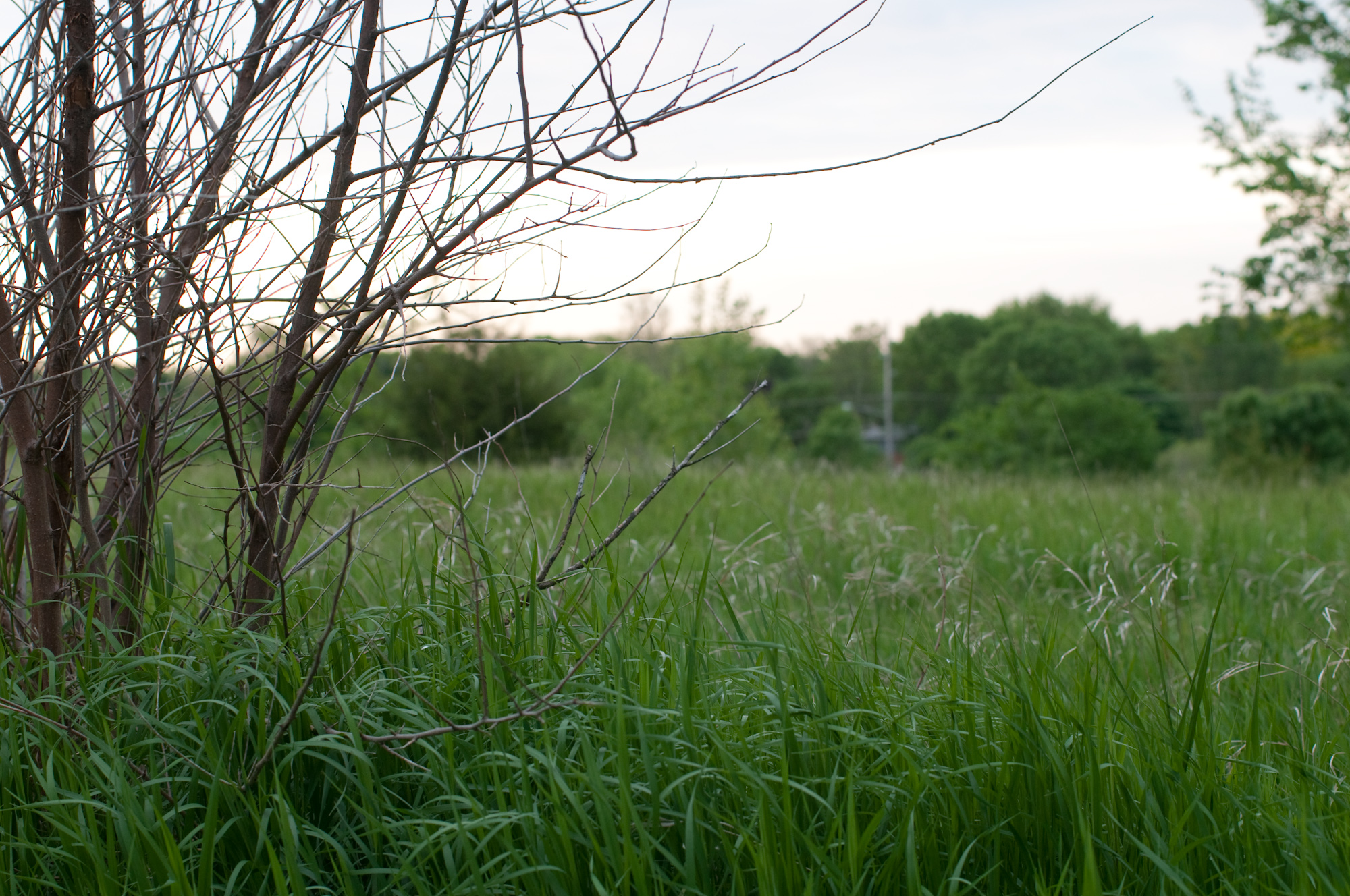
View from street

Trinity Lutheran Church - rural Rutland, IA

Trinity Lutheran Church - rural Rutland, IA
Humboldt, Iowa

Humboldt, Iowa

Farm to Food
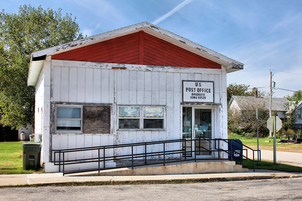
Post Office - Bradgate, IA
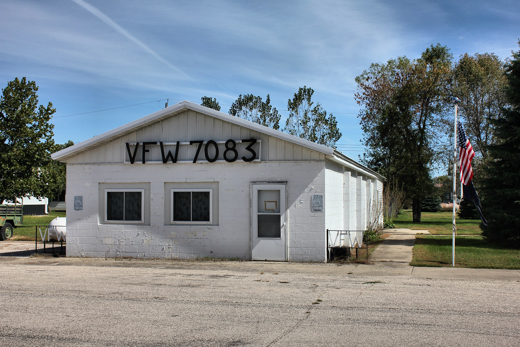
VFW Post 7083 - Bradgate, IA
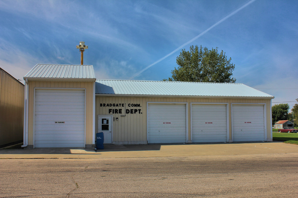
Fire Station - Bradgate, IA
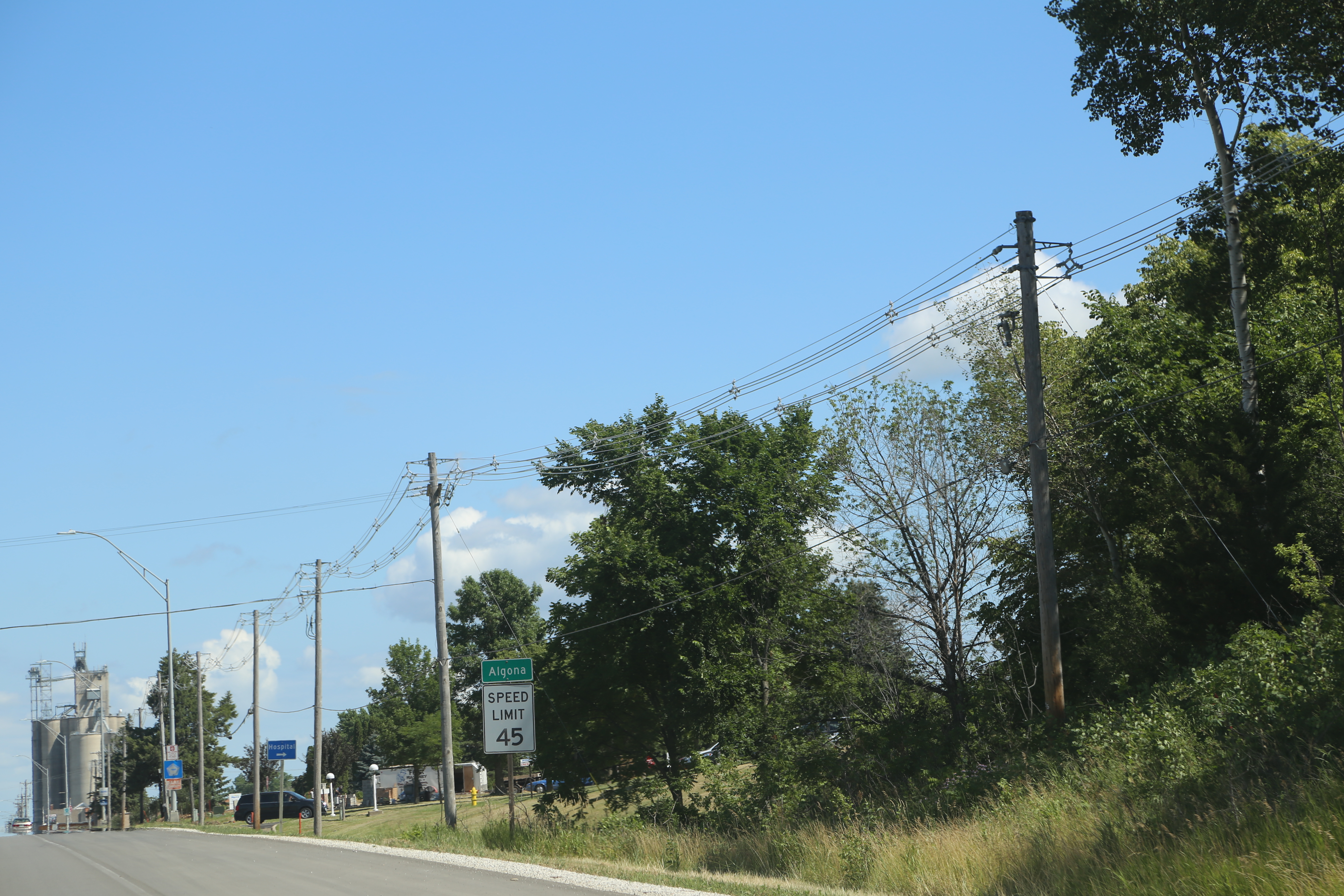
Algona Iowa, Kossuth County IA

Livermore Iowa, Humbolt County IA
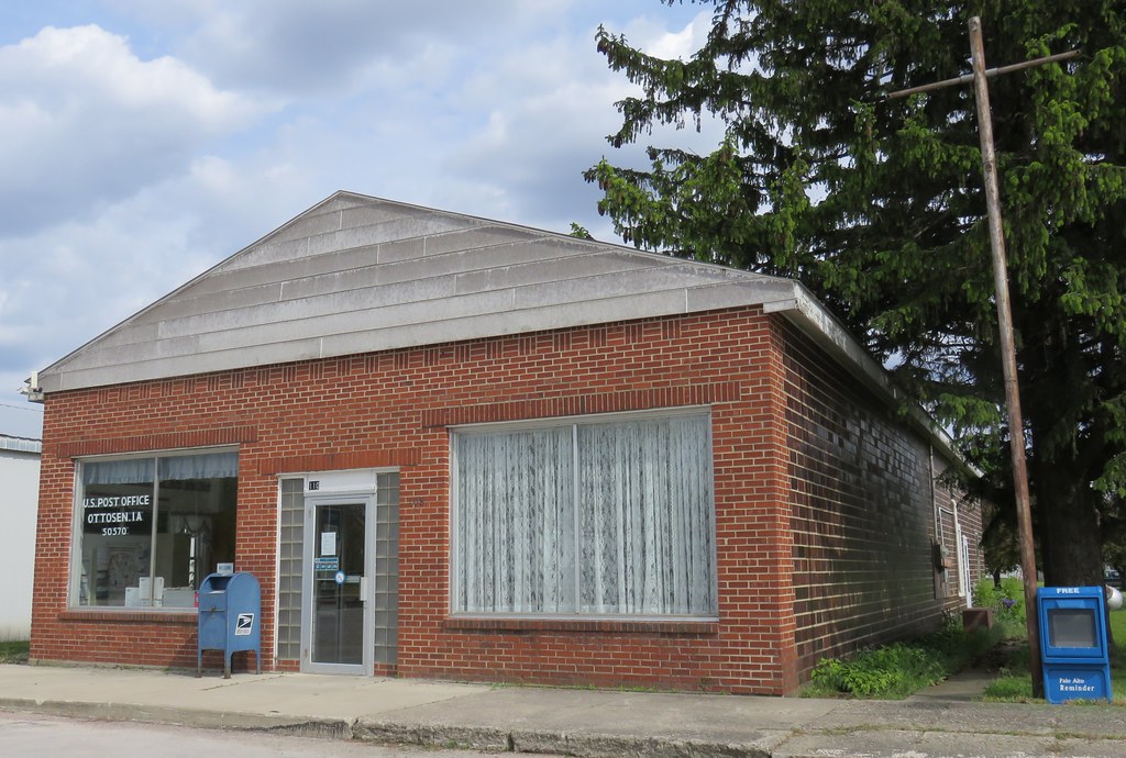
Post Office 50570 (Ottosen, Iowa)
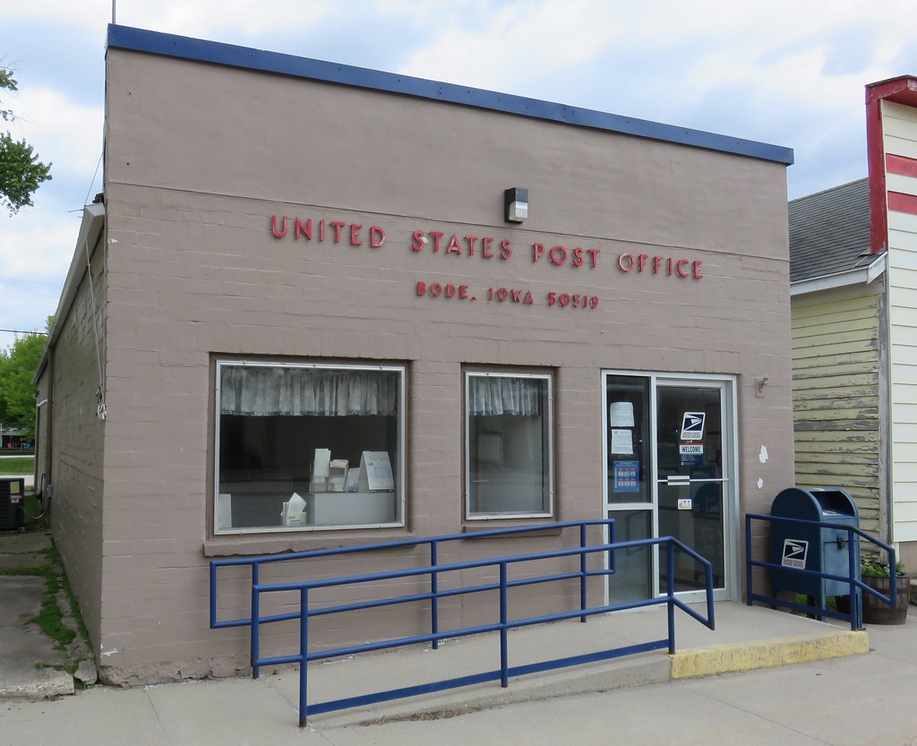
Post Office 50519 (Bode, Iowa)
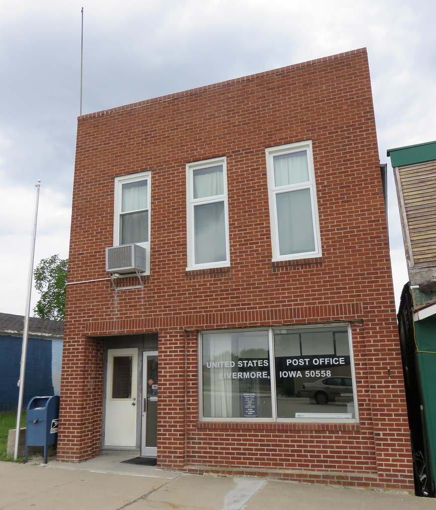
Post Office 50558 (Livermore, Iowa)
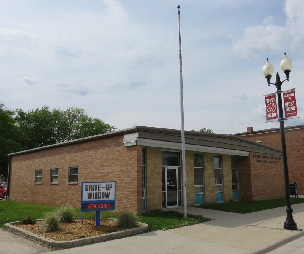
Post Office 50597 (West Bend, Iowa)

Downtown West Bend, Iowa
Public School - Rutland, IA
Downtown Building - Rutland, IA
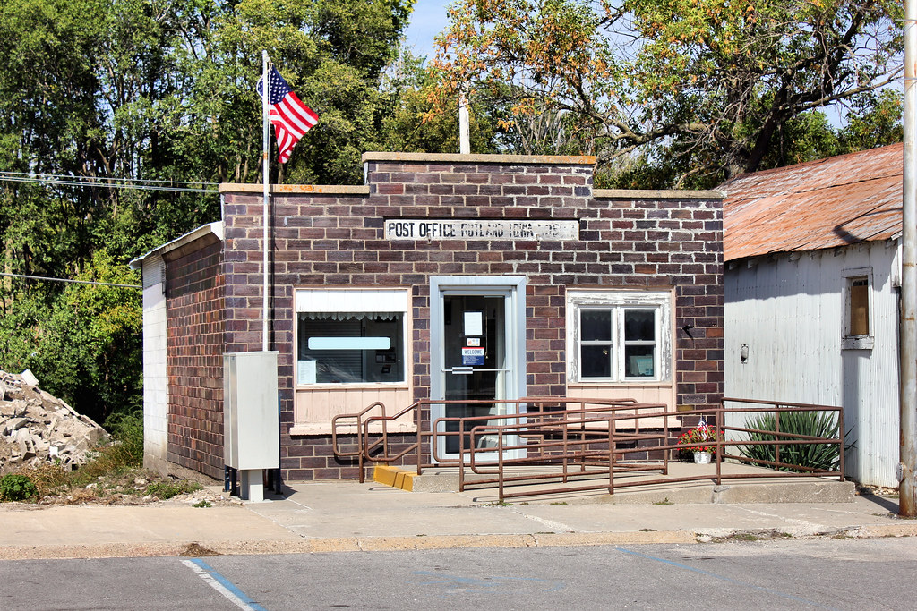
Post Office - Rutland, IA
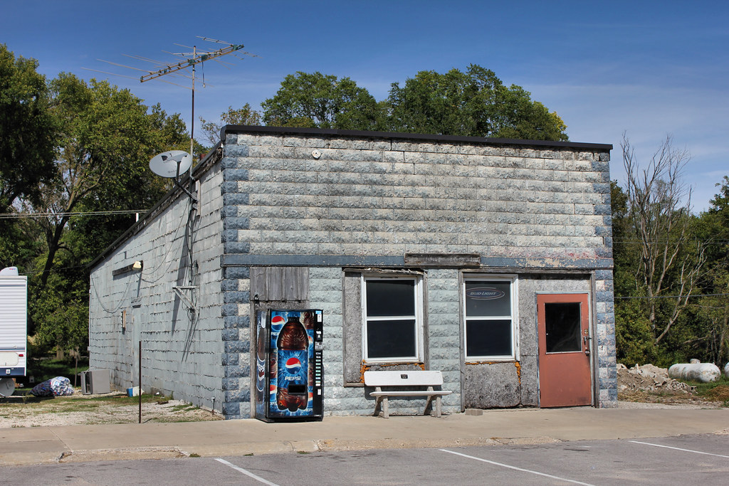
Tavern - Rutland, IA

Community Hall - Rutland, IA
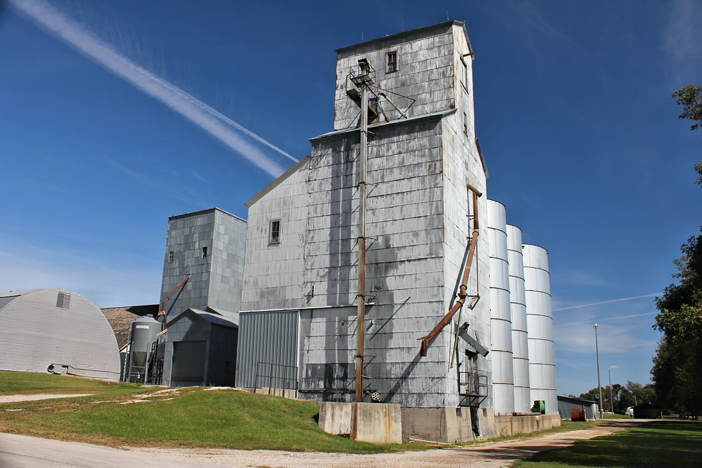
Grain Elevator - Rutland, IA
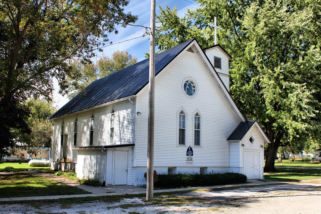
Faith United Methodist Church - Rutland, IA
Topographic Map of 1st St, Bode, IA, USA
Find elevation by address:

Places near 1st St, Bode, IA, USA:
Bode
Delana
Algona, IA, USA
718 S Harriet St
E Call St, Algona, IA, USA
Algona
Jackson
Clare
W Front St, Clare, IA, USA
51253 270th Ave
th St, Rolfe, IA, USA
Plover
Powhatan
Bush St, Burt, IA, USA
Burt
Roosevelt
Johnson
Lone Rock
Front St, Barnum, IA, USA
Barnum
Recent Searches:
- Elevation of Zimmer Trail, Pennsylvania, USA
- Elevation of 87 Kilmartin Ave, Bristol, CT, USA
- Elevation of Honghe National Nature Reserve, QP95+PJP, Tongjiang, Heilongjiang, Jiamusi, Heilongjiang, China
- Elevation of Hercules Dr, Colorado Springs, CO, USA
- Elevation of Szlak pieszy czarny, Poland
- Elevation of Griffing Blvd, Biscayne Park, FL, USA
- Elevation of Kreuzburger Weg 13, Düsseldorf, Germany
- Elevation of Gateway Blvd SE, Canton, OH, USA
- Elevation of East W.T. Harris Boulevard, E W.T. Harris Blvd, Charlotte, NC, USA
- Elevation of West Sugar Creek, Charlotte, NC, USA