Elevation of 1st Ave, Agate, CO, USA
Location: United States > Colorado > Elbert County >
Longitude: -103.94288
Latitude: 39.4617963
Elevation: 1661m / 5449feet
Barometric Pressure: 83KPa
Elevation Map:
Satellite Map:
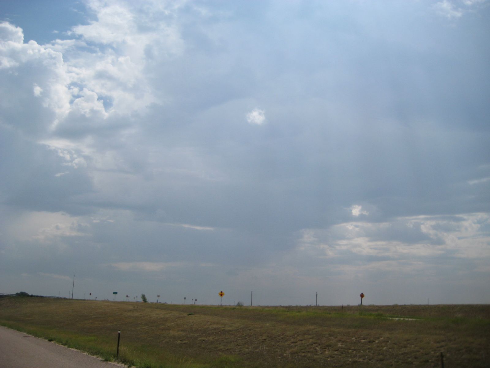
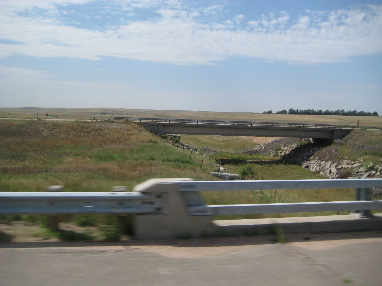
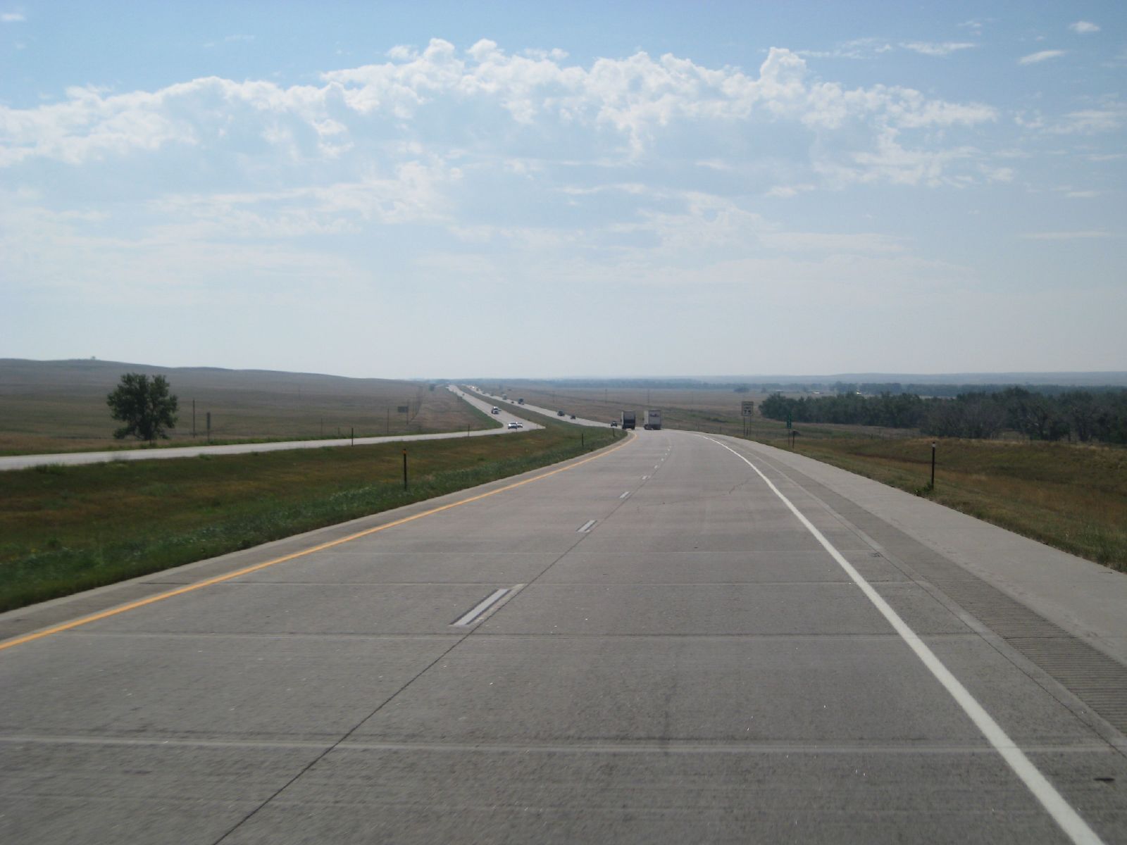
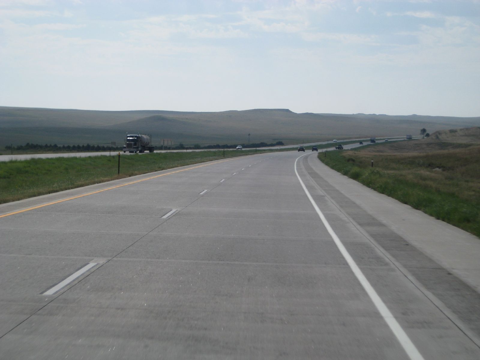
Related Photos:

the sky swam into view

near bijou
SAN-NYC (357)
SAN-NYC (358)
SAN-NYC (354)
SAN-NYC (352)

Colorado Storm

it takes a million years to become diamonds so lets just burn
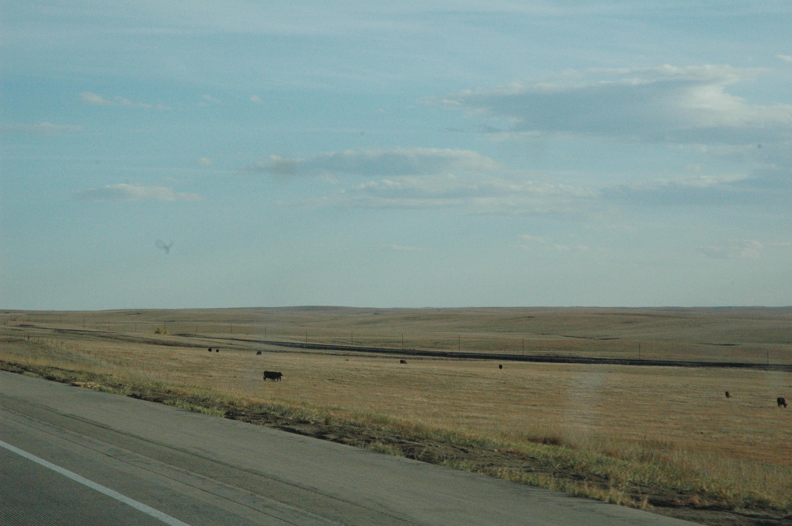
Interstate 70 eastern Colorado
Topographic Map of 1st Ave, Agate, CO, USA
Find elevation by address:

Places near 1st Ave, Agate, CO, USA:
Agate
Date St, Deer Trail, CO, USA
Deer Trail
Deer Trail, CO, USA
US-36, Woodrow, CO, USA
Co Rd B, Fort Morgan, CO, USA
Woodrow
County Rd E, Brush, CO, USA
19377 Co Rd Q
Co Rd 16, Fort Morgan, CO, USA
Lamb
Co Rd 30, Akron, CO, USA
Trailside Drive
Fort Morgan
431 Meeker St
104 Elm Dr
Oak St, Log Lane Village, CO, USA
Log Lane Village
102 Crest Dr
US-34, Fort Morgan, CO, USA
Recent Searches:
- Elevation of 64 Danakas Dr, Winnipeg, MB R2C 5N7, Canada
- Elevation of 4 Vale Rd, Sheffield S3 9QX, UK
- Elevation of Keene Point Drive, Keene Point Dr, Grant, AL, USA
- Elevation of State St, Zanesville, OH, USA
- Elevation of Austin Stone Dr, Haslet, TX, USA
- Elevation of Bydgoszcz, Poland
- Elevation of Bydgoszcz, Poland
- Elevation of Calais Dr, Del Mar, CA, USA
- Elevation of Placer Mine Ln, West Jordan, UT, USA
- Elevation of E 63rd St, New York, NY, USA