Elevation of 1 St NE, Manning, AB T0H 2M0, Canada
Location: Canada > Alberta > Division No. 17 >
Longitude: -117.62652
Latitude: 56.923447
Elevation: 460m / 1509feet
Barometric Pressure: 96KPa
Elevation Map:
Satellite Map:
Related Photos:
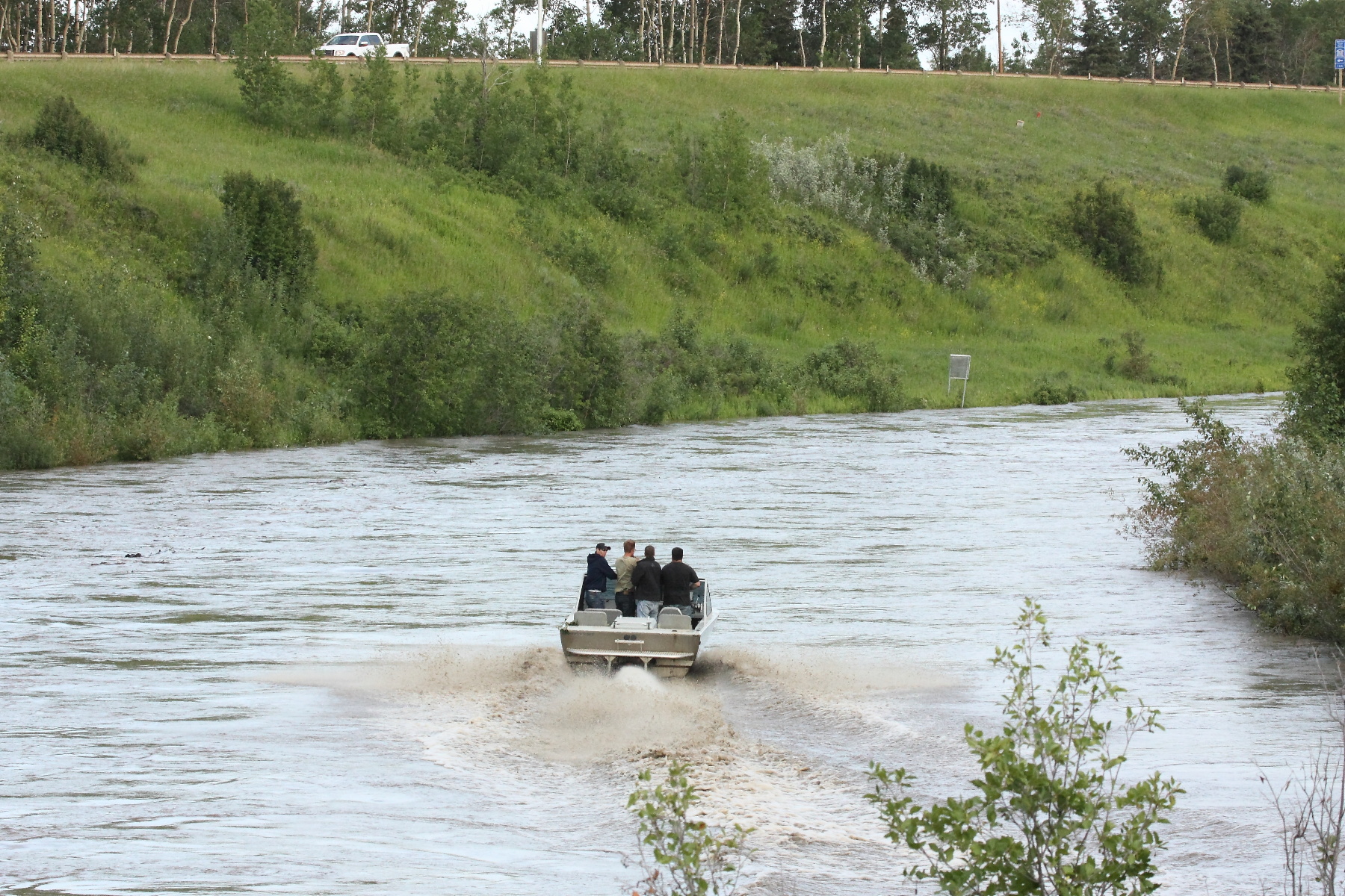
Jet Boat in Manning
Supper time

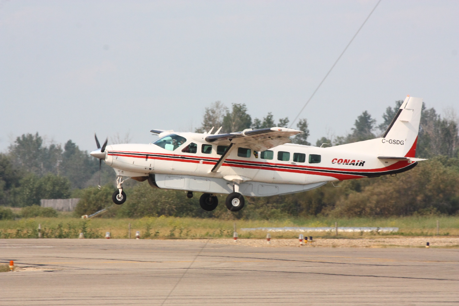
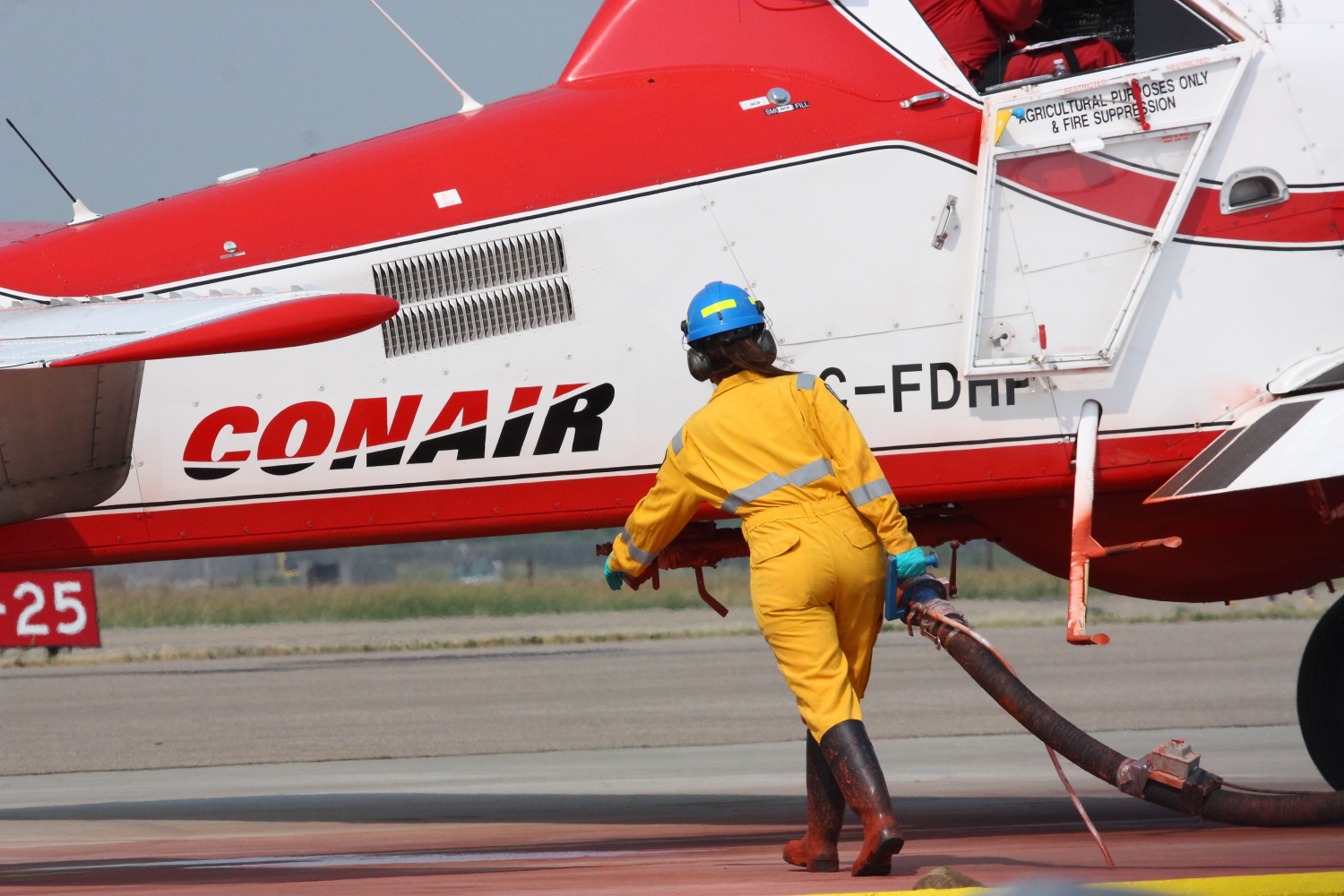
Water Bomber
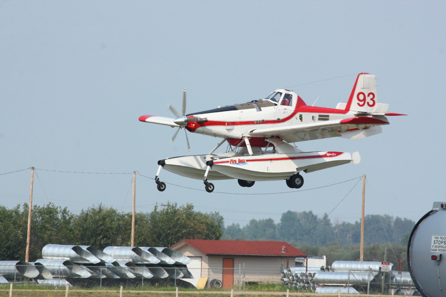
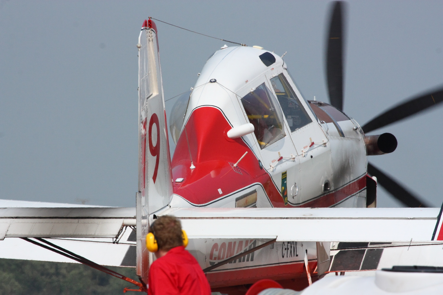
Bird Dog
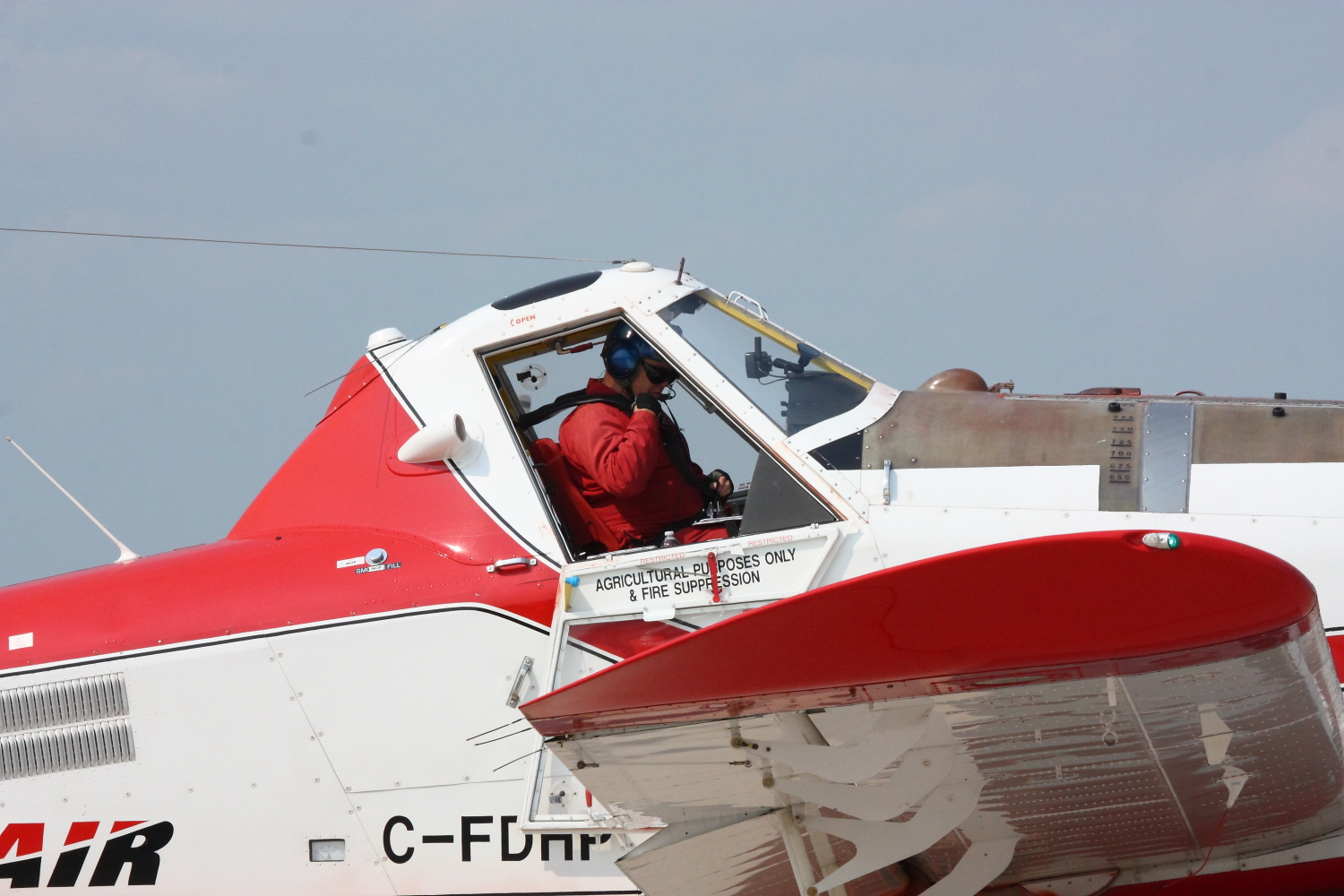
Water Bomber
Water Bomber
Water Bomber
Water Bomber
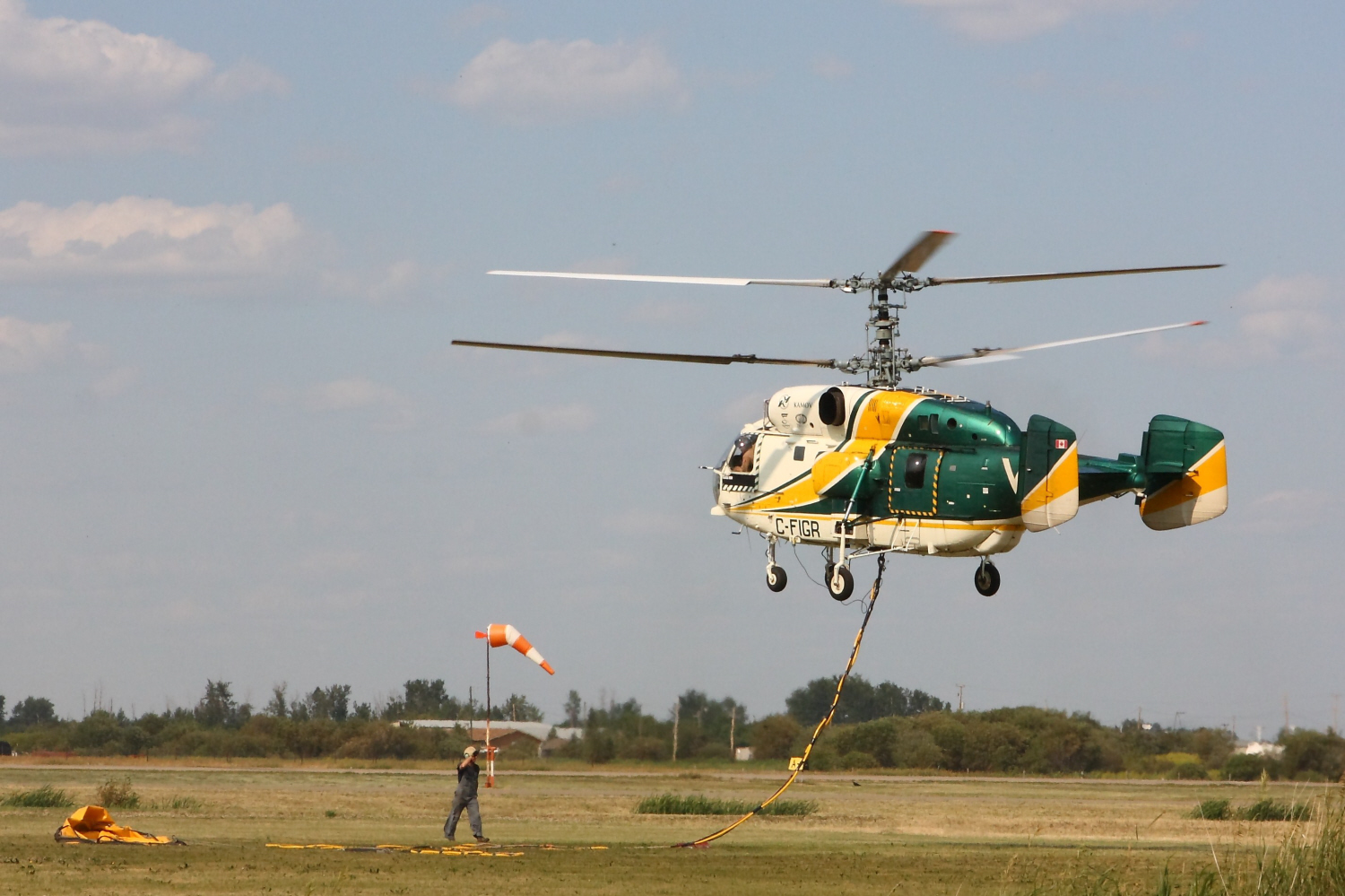
Kamov Ka-32A

Wilson's Warbler

Wilson's Warbler
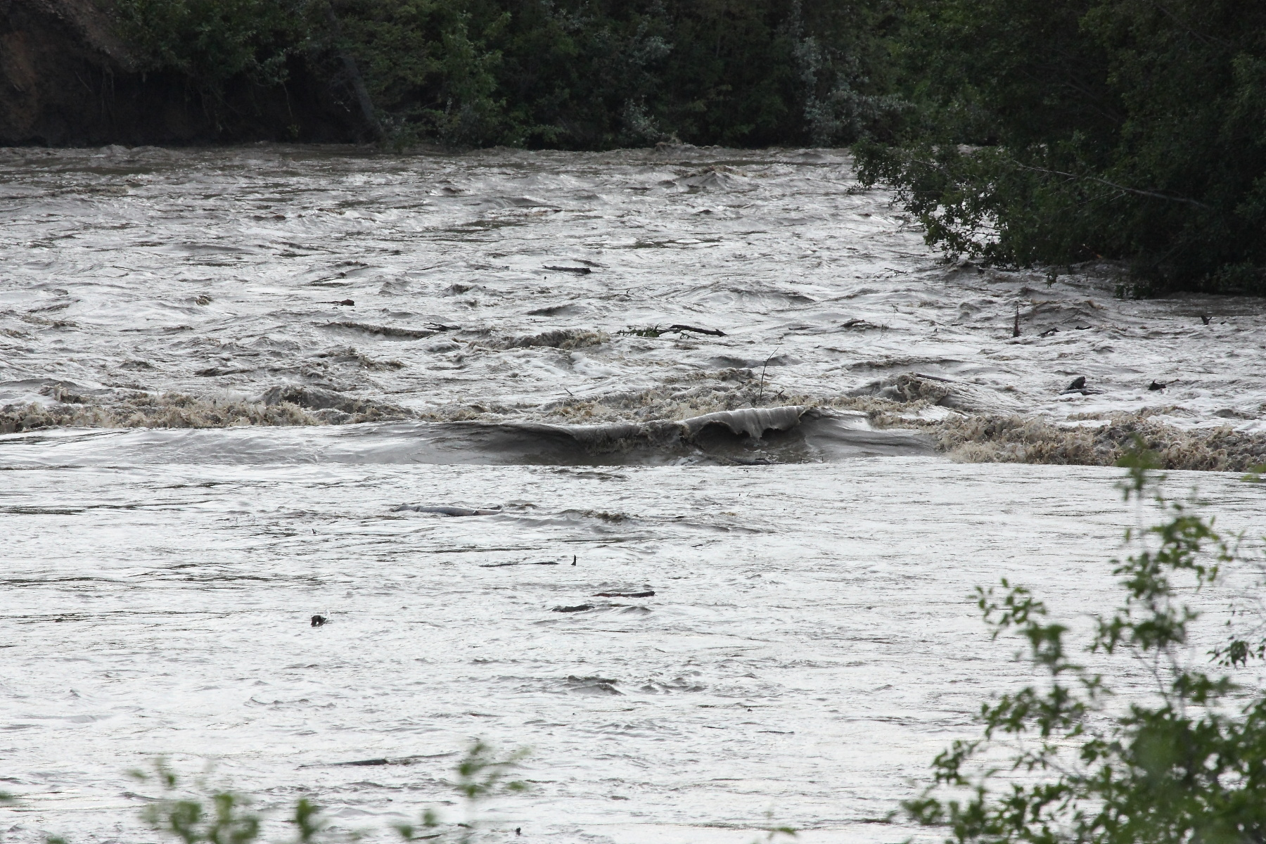
Flooding in manning
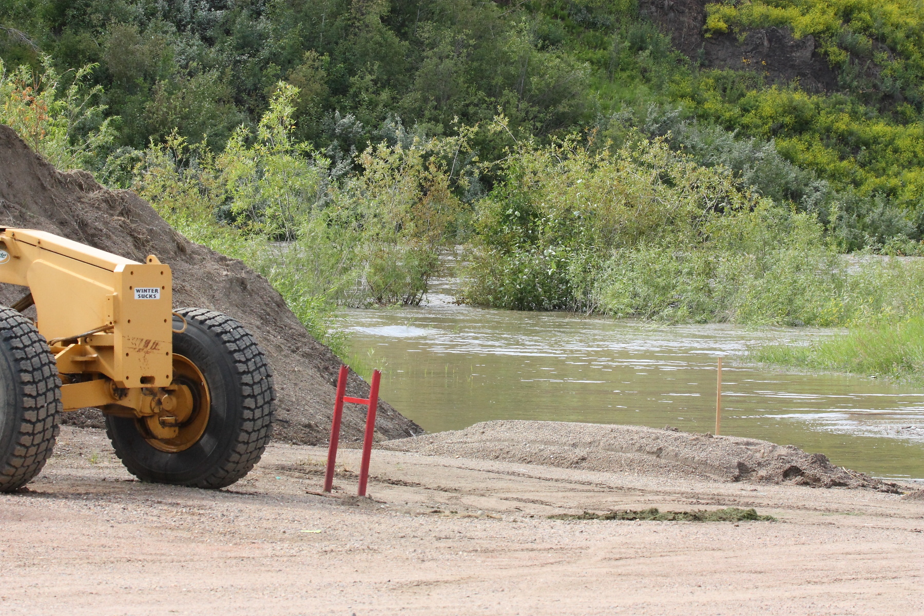
Flooding in manning
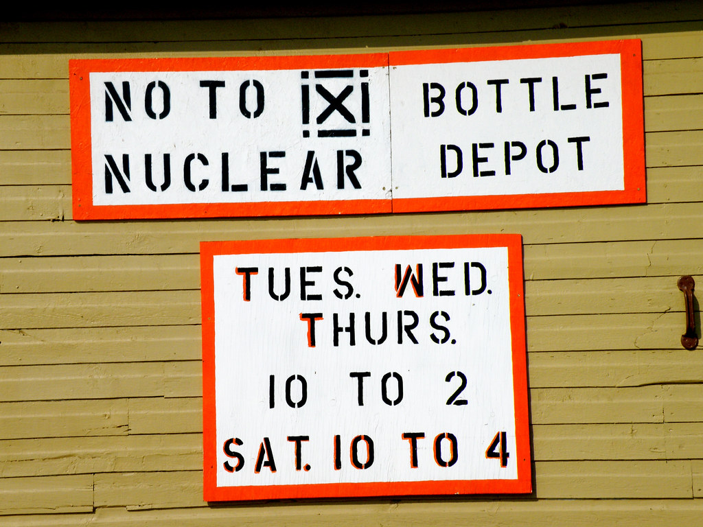
Bottle Depot
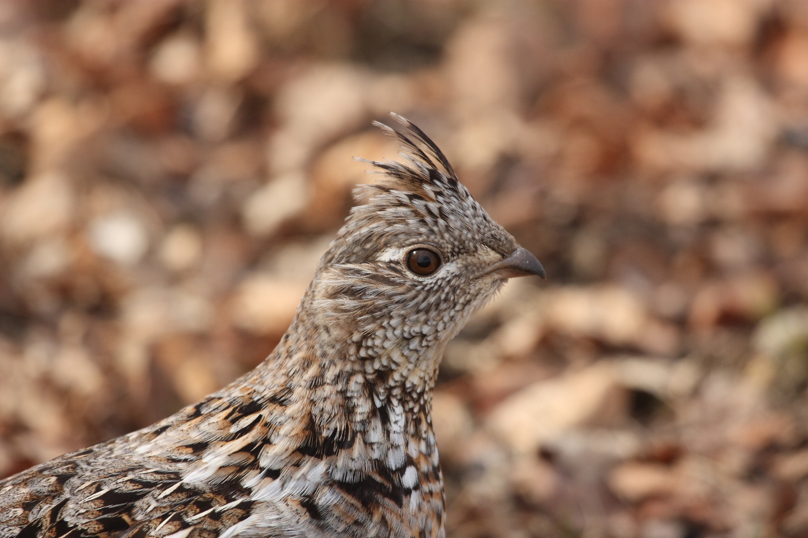
Grouse Hen
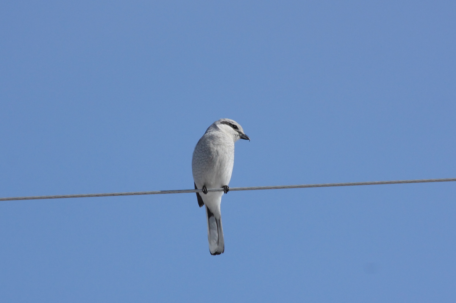
Northern Shrike
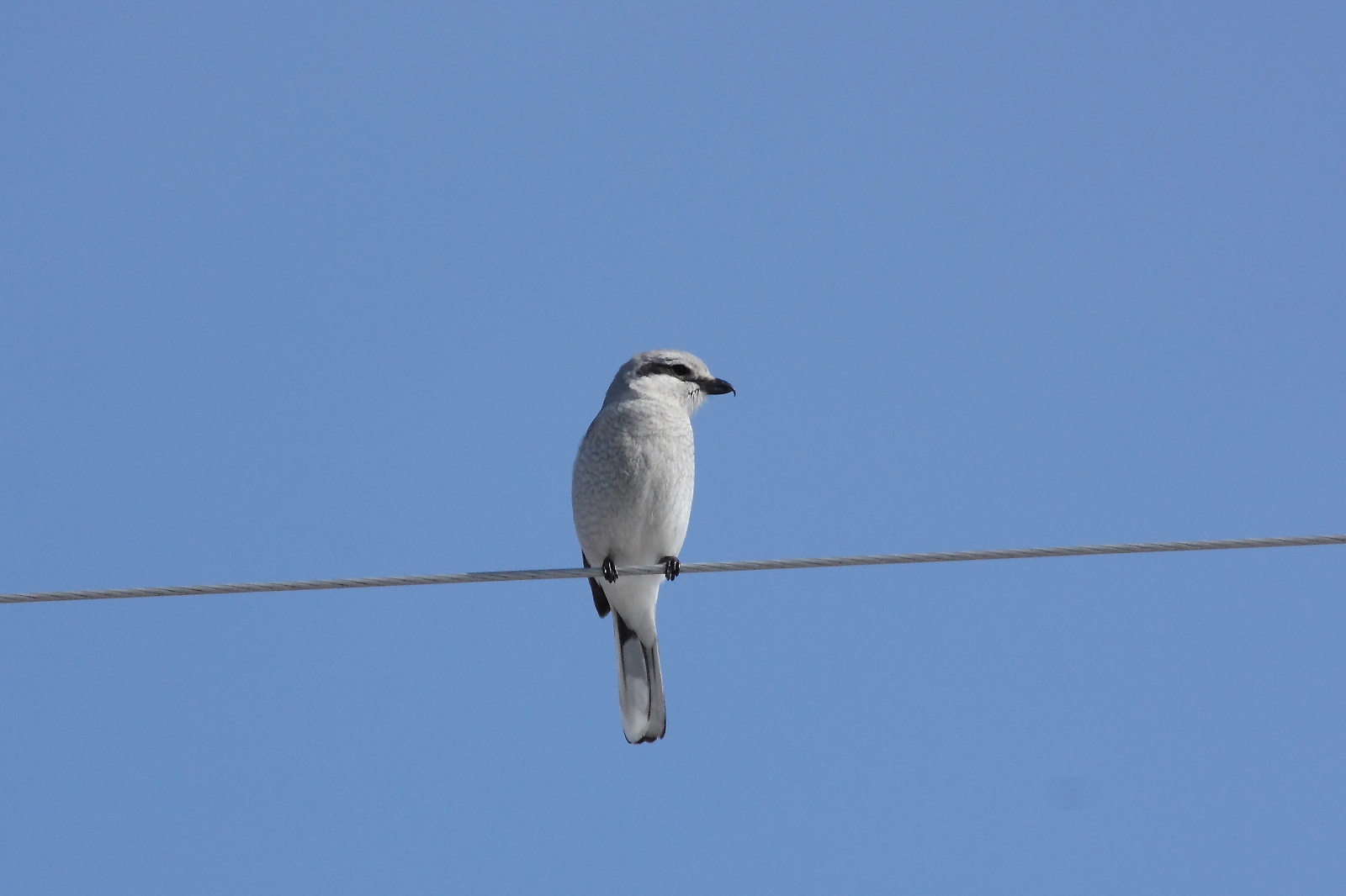
Northern Shrike
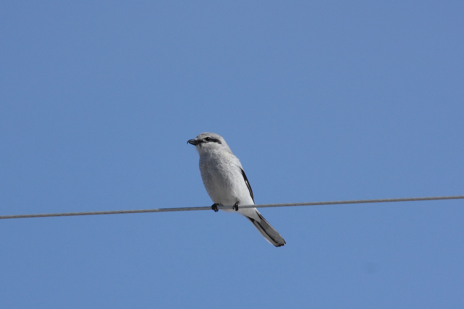
Northern Shrike

Learning the moves.

Highland dancer.
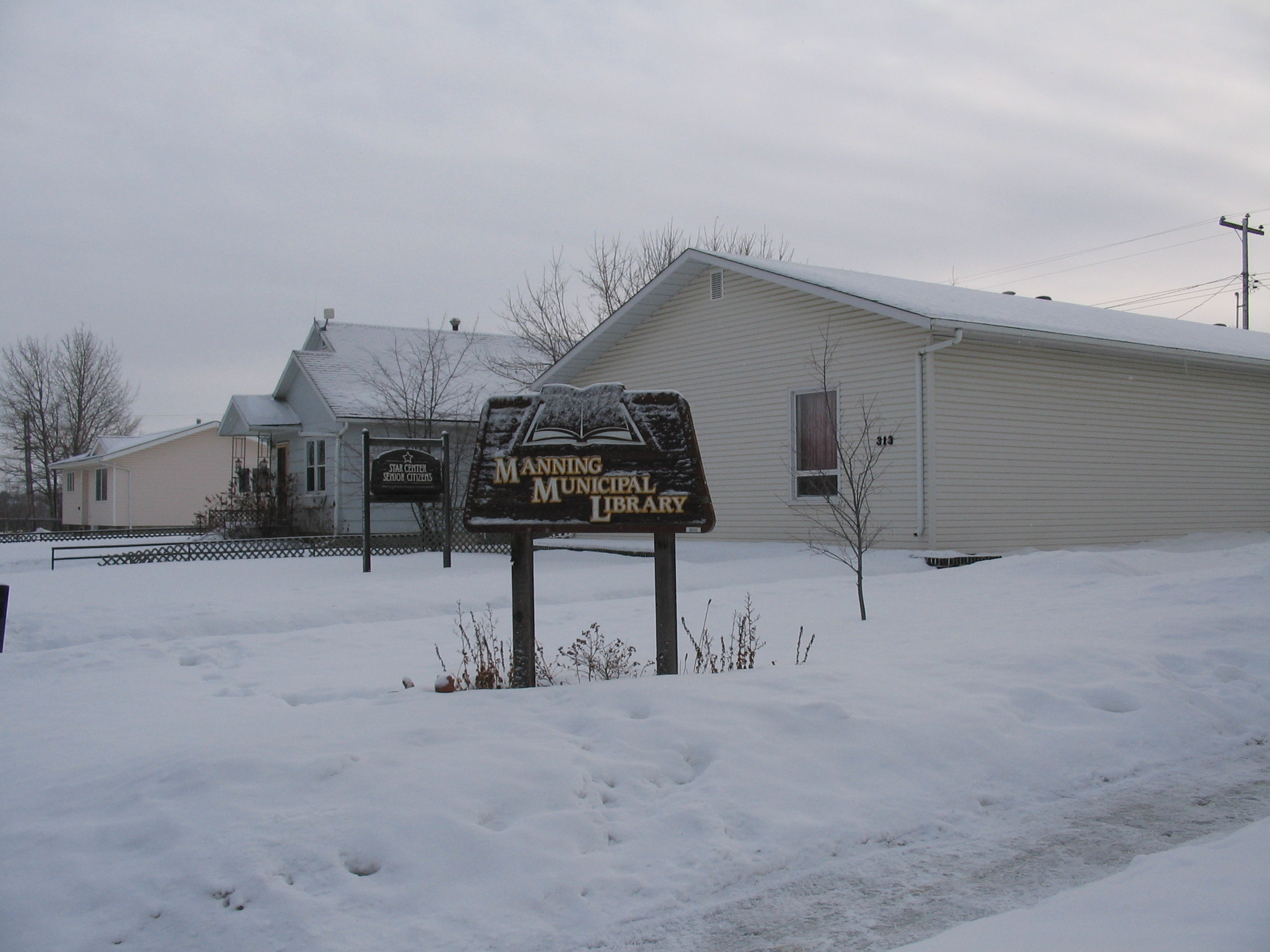
Manning library 032
Topographic Map of 1 St NE, Manning, AB T0H 2M0, Canada
Find elevation by address:

Places near 1 St NE, Manning, AB T0H 2M0, Canada:
Recent Searches:
- Elevation of Jalan Senandin, Lutong, Miri, Sarawak, Malaysia
- Elevation of Bilohirs'k
- Elevation of 30 Oak Lawn Dr, Barkhamsted, CT, USA
- Elevation of Luther Road, Luther Rd, Auburn, CA, USA
- Elevation of Unnamed Road, Respublika Severnaya Osetiya — Alaniya, Russia
- Elevation of Verkhny Fiagdon, North Ossetia–Alania Republic, Russia
- Elevation of F. Viola Hiway, San Rafael, Bulacan, Philippines
- Elevation of Herbage Dr, Gulfport, MS, USA
- Elevation of Lilac Cir, Haldimand, ON N3W 2G9, Canada
- Elevation of Harrod Branch Road, Harrod Branch Rd, Kentucky, USA