Elevation of 1 Rue des Champs Seigneurs, Sommepy-Tahure, France
Location: France > Alsace-champagne-ardenne-lorraine > Marne > Sommepy-tahure >
Longitude: 4.5599686
Latitude: 49.2500935
Elevation: 139m / 456feet
Barometric Pressure: 100KPa
Elevation Map:
Satellite Map:
Related Photos:
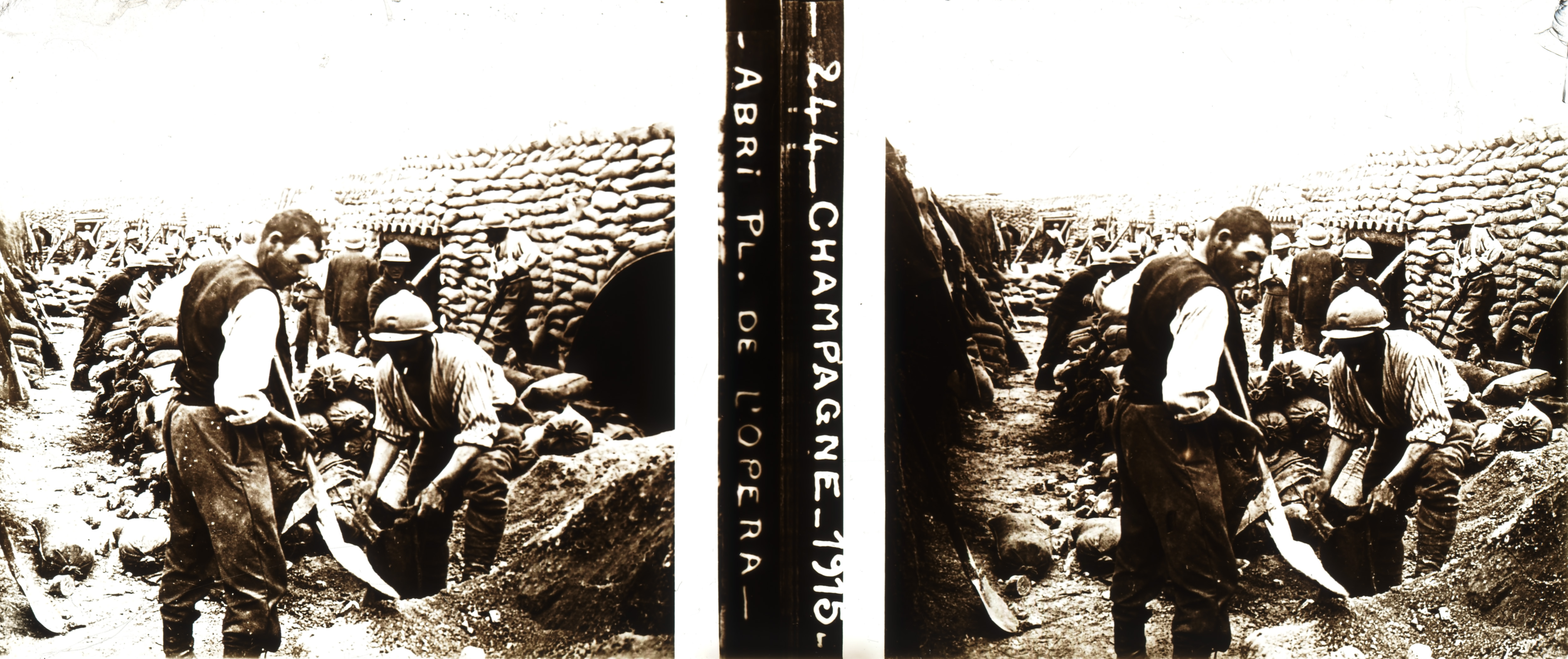
Shelter on "Place de l'Opéra" parade ground in Souain during WWI (stereoscopic glass plate, Champagne, France)
light-01949

Orthodox Monastery
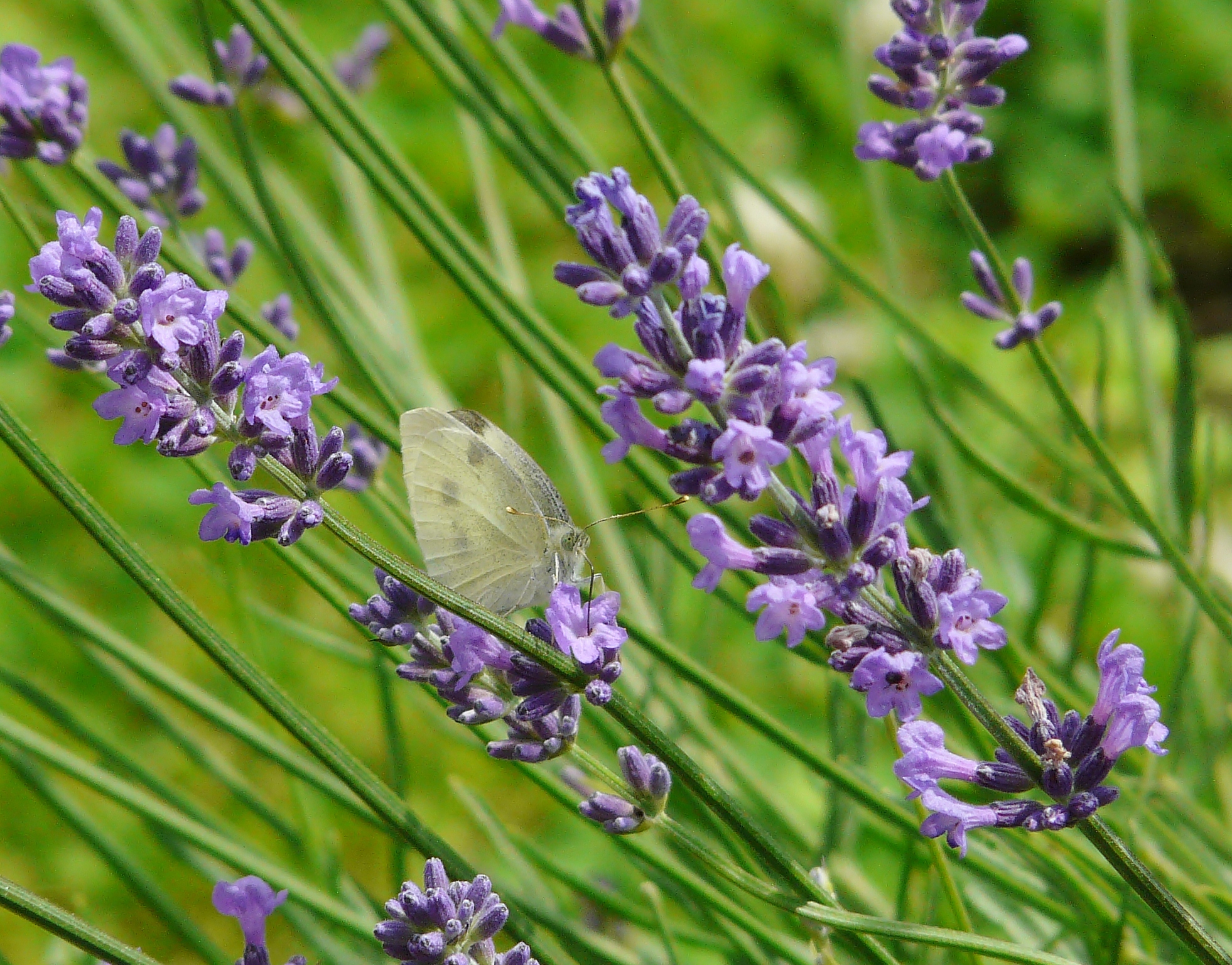
Papillon - mai 2014
Coucher de soleil - février 2012
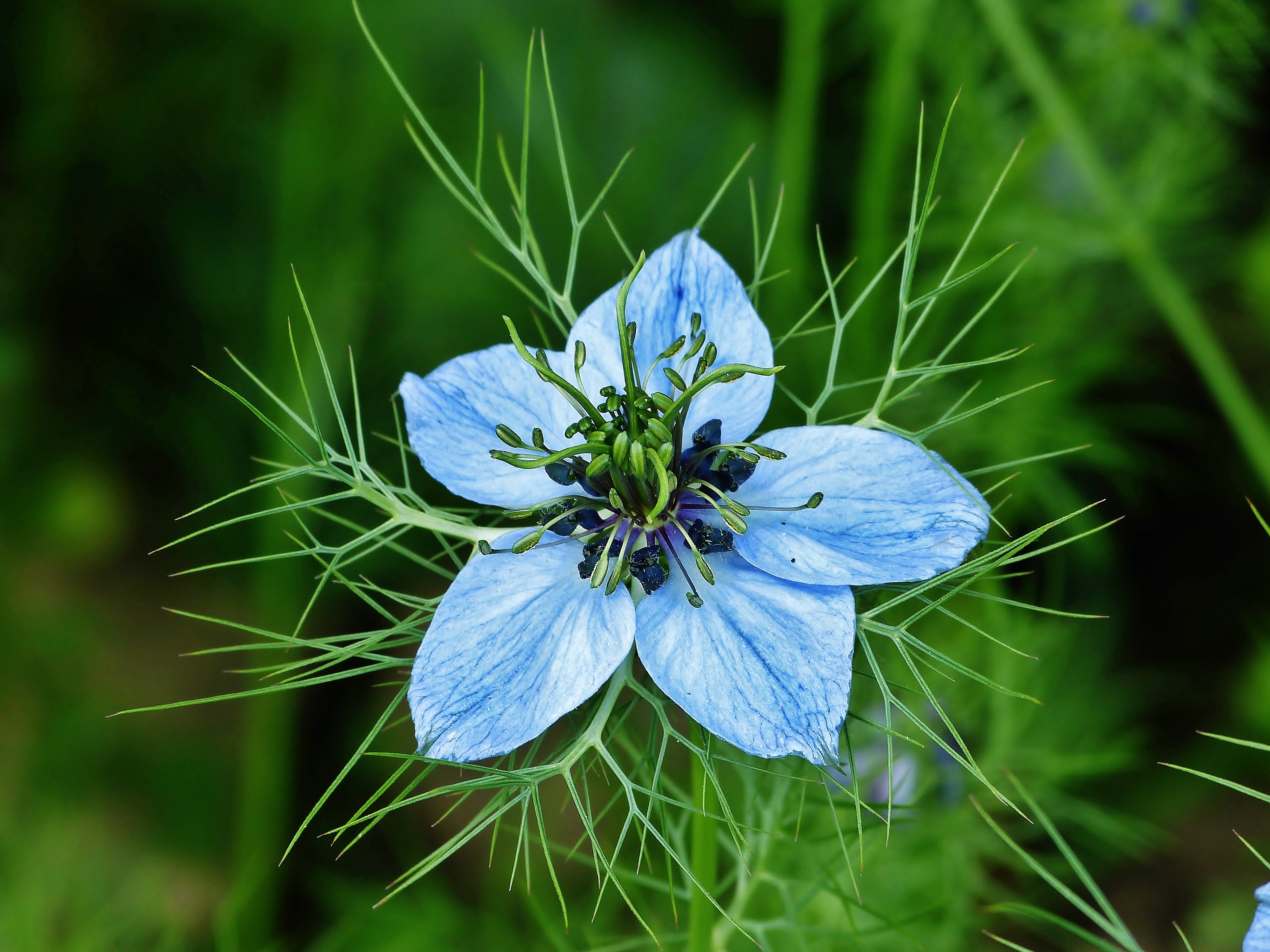
Fleur de nigelle - juin 2013
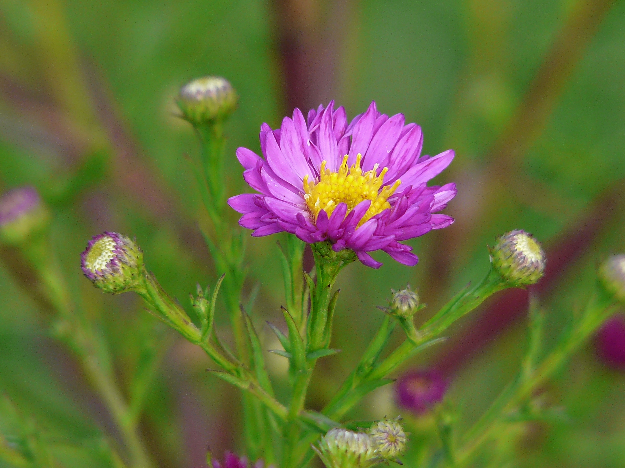
Aster - septembre 2012
Sommepy Tahure American Memorial
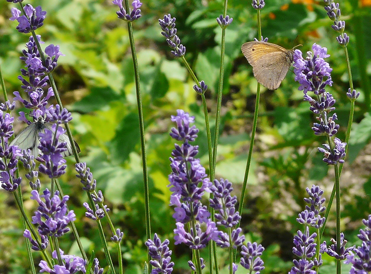
Insectes d'Europe - juin 2012
Insectes d'Europe - juin 2012

Fleurs de cognassier - mai 2013

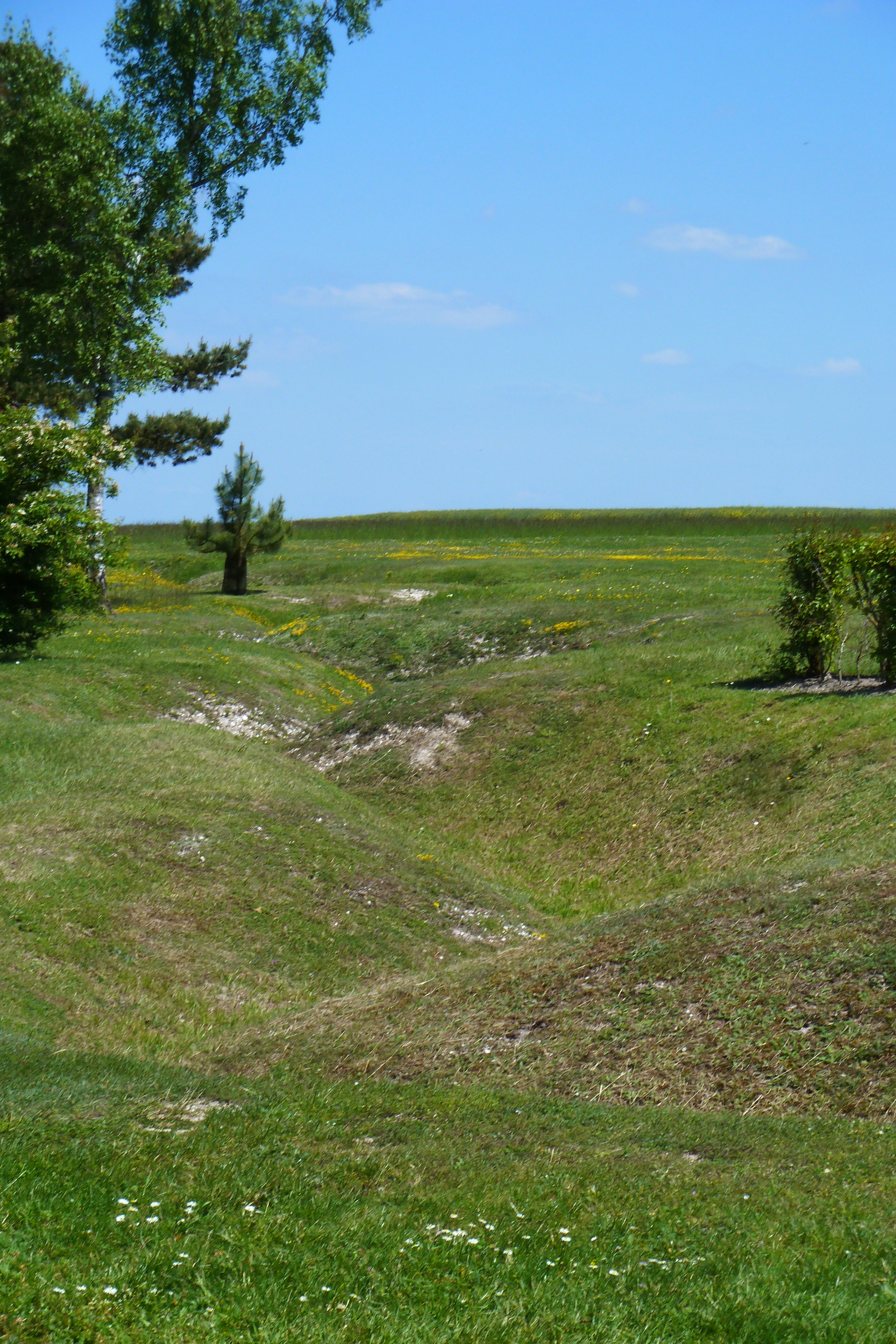
Orderly reflection on the chaos of when two million soldiers fought over this ground in the Battle of Marne
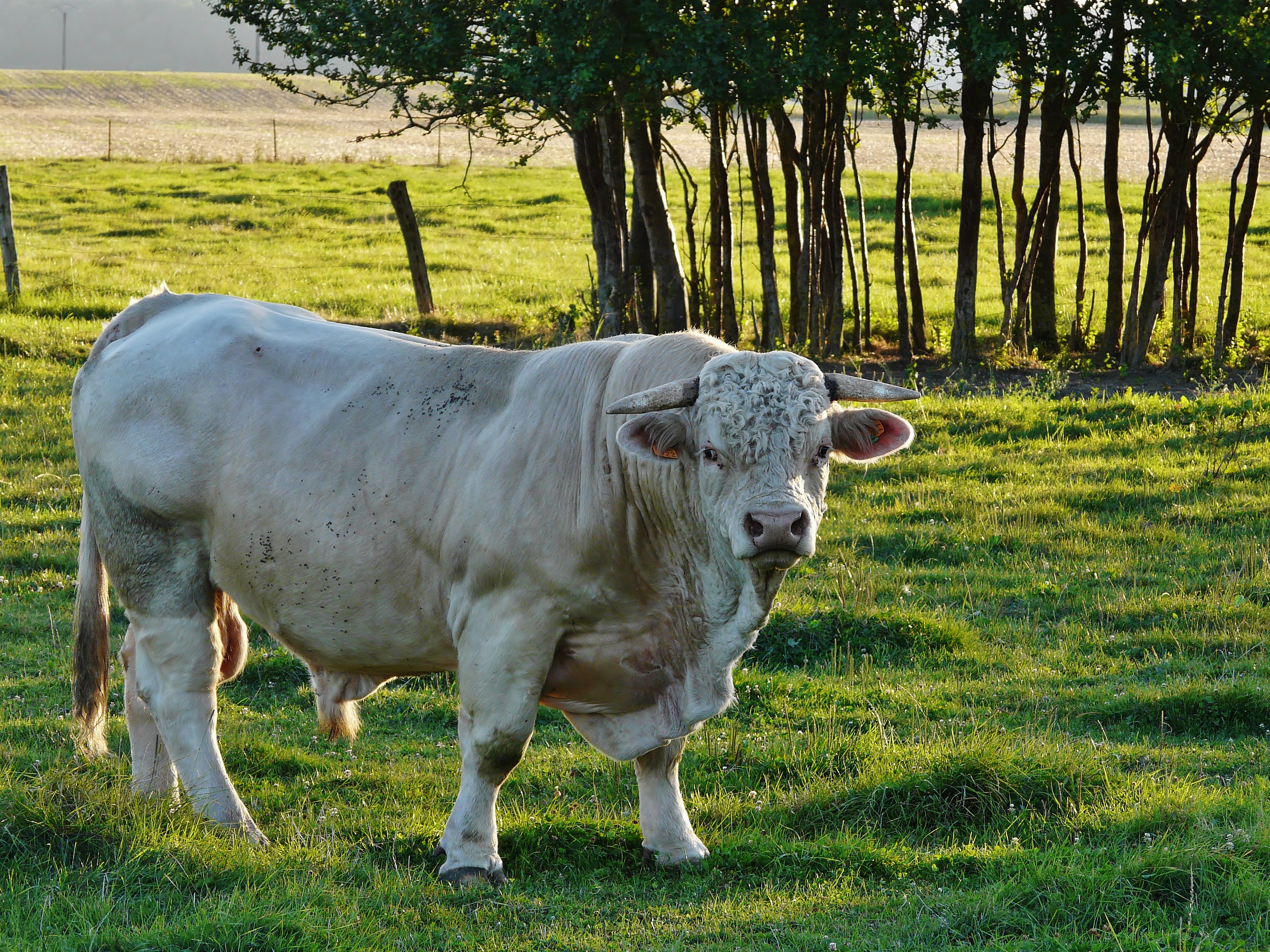
Taureau - août 2012

Brin de bonheur - mai 2013
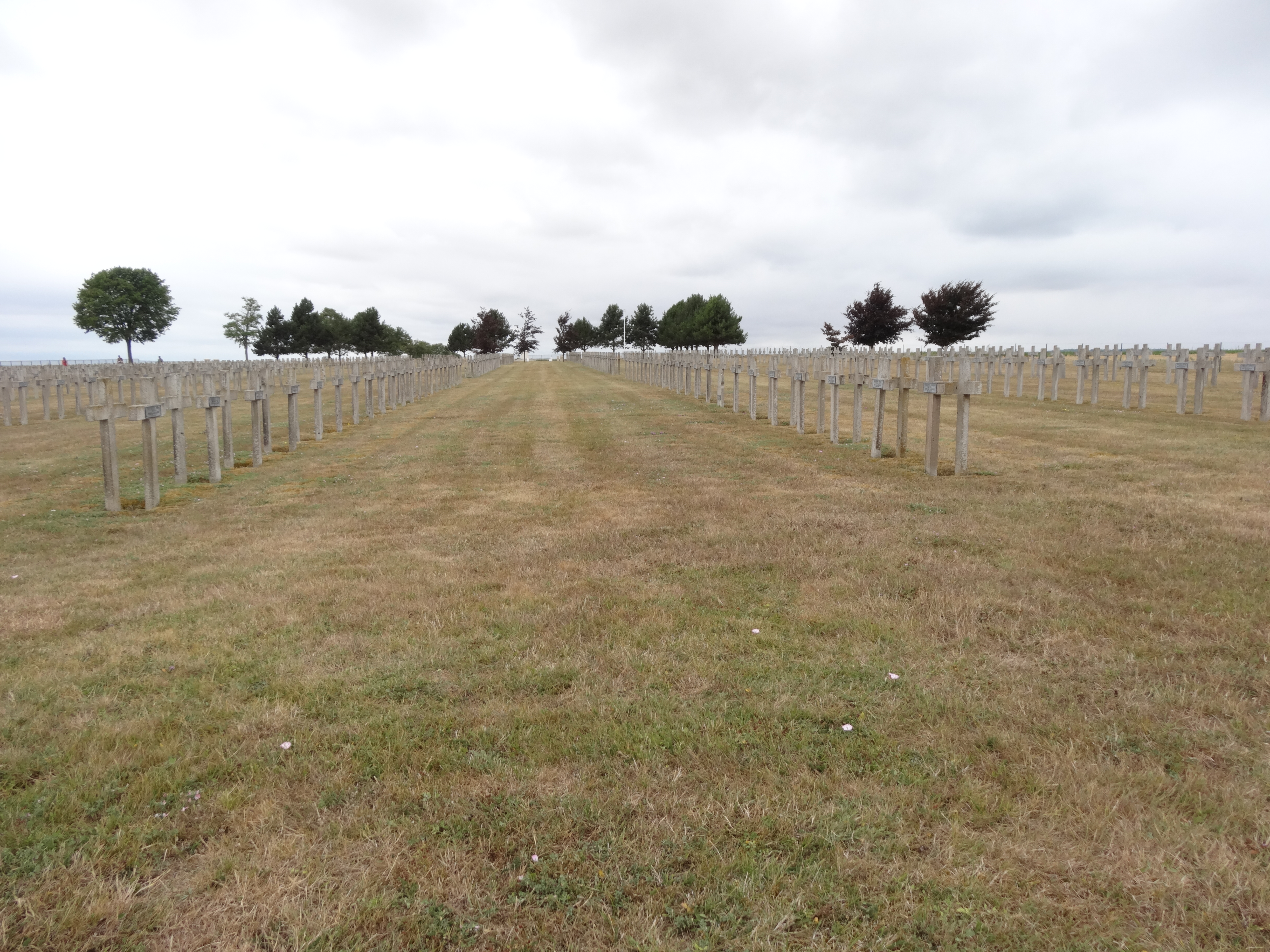
French, German, Polish cemetery on the Voie de la Liberte

Auberive Abbey
Topographic Map of 1 Rue des Champs Seigneurs, Sommepy-Tahure, France
Find elevation by address:

Places near 1 Rue des Champs Seigneurs, Sommepy-Tahure, France:
Sommepy-tahure
57 Rue de Beauclair, Saint-Clément-à-Arnes, France
Saint-clément-à-arnes
4 Place de l'Église, Sainte-Marie, France
Sainte-marie
2 Rue Carnot, Saint-Hilaire-le-Petit, France
Saint-hilaire-le-petit
4 Rue Corneille, Grivy-Loisy, France
Grivy-loisy
12 D, Brécy-Brières, France
Sainte-vaubourg
3 Rue Mi la ville, Sainte-Vaubourg, France
Brécy-brières
4 Le Village, Mont-Laurent, France
Mont-laurent
3 Rue des Charrons, Givry, France
Givry
Charbogne
30 Gr Grande Rue, Charbogne, France
2 Rue de l'Église, Alincourt, France
Recent Searches:
- Elevation of Hobbyhorse Ct, Dover, DE, USA
- Elevation of Horseshoe Ln, Dahlonega, GA, USA
- Elevation of Village Point Dr, Daphne, AL, USA
- Elevation map of Kabardino-Balkarian Republic, Russia
- Elevation of Tyrnyauz, Kabardino-Balkarian Republic, Russia
- Elevation of Sunset Dr, Hernando, MS, USA
- Elevation of Lake Rotoroa, Tasman, New Zealand
- Elevation of George St, New Bern, NC, USA
- Elevation of Cove Rd, Jasper, GA, USA
- Elevation of Cove Rd, Jasper, GA, USA