Elevation of 1 Mill St, Burlington, VT, USA
Location: United States > Vermont > Chittenden County > Burlington > Centennial >
Longitude: -73.184642
Latitude: 44.4883776
Elevation: 47m / 154feet
Barometric Pressure: 101KPa
Elevation Map:
Satellite Map:
Related Photos:
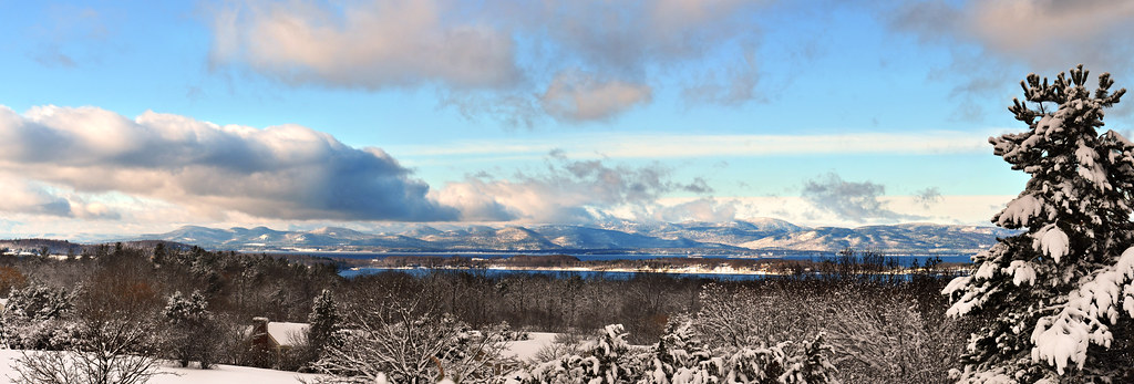
The Overlook
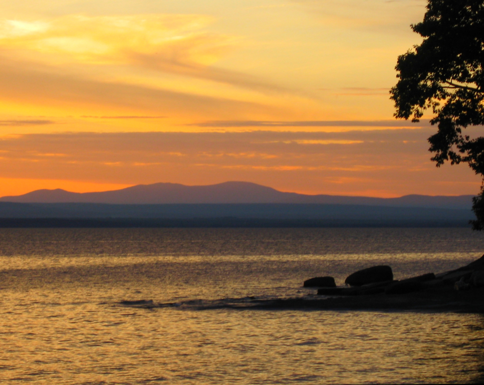
Vermont Sunset, Emmy's Beach

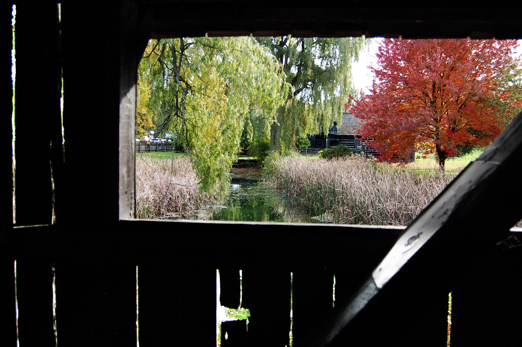
Framing the view
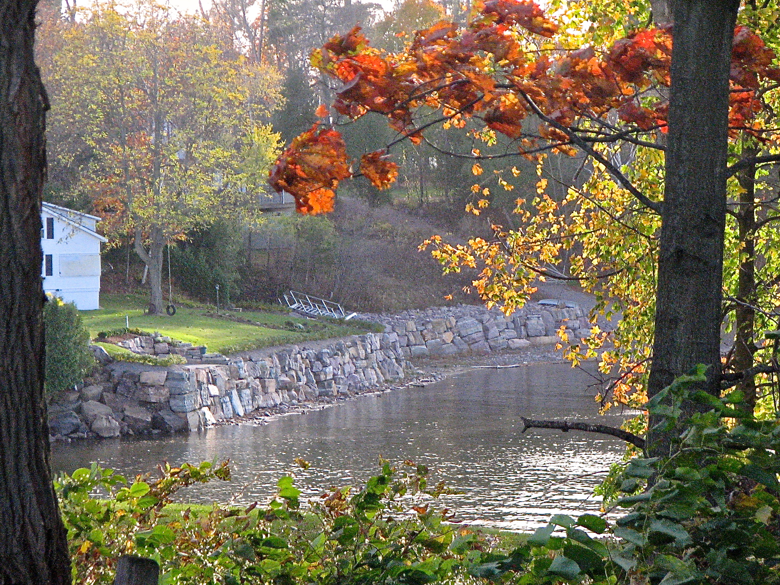
view from a bridge

The Unknown Sailor pano view
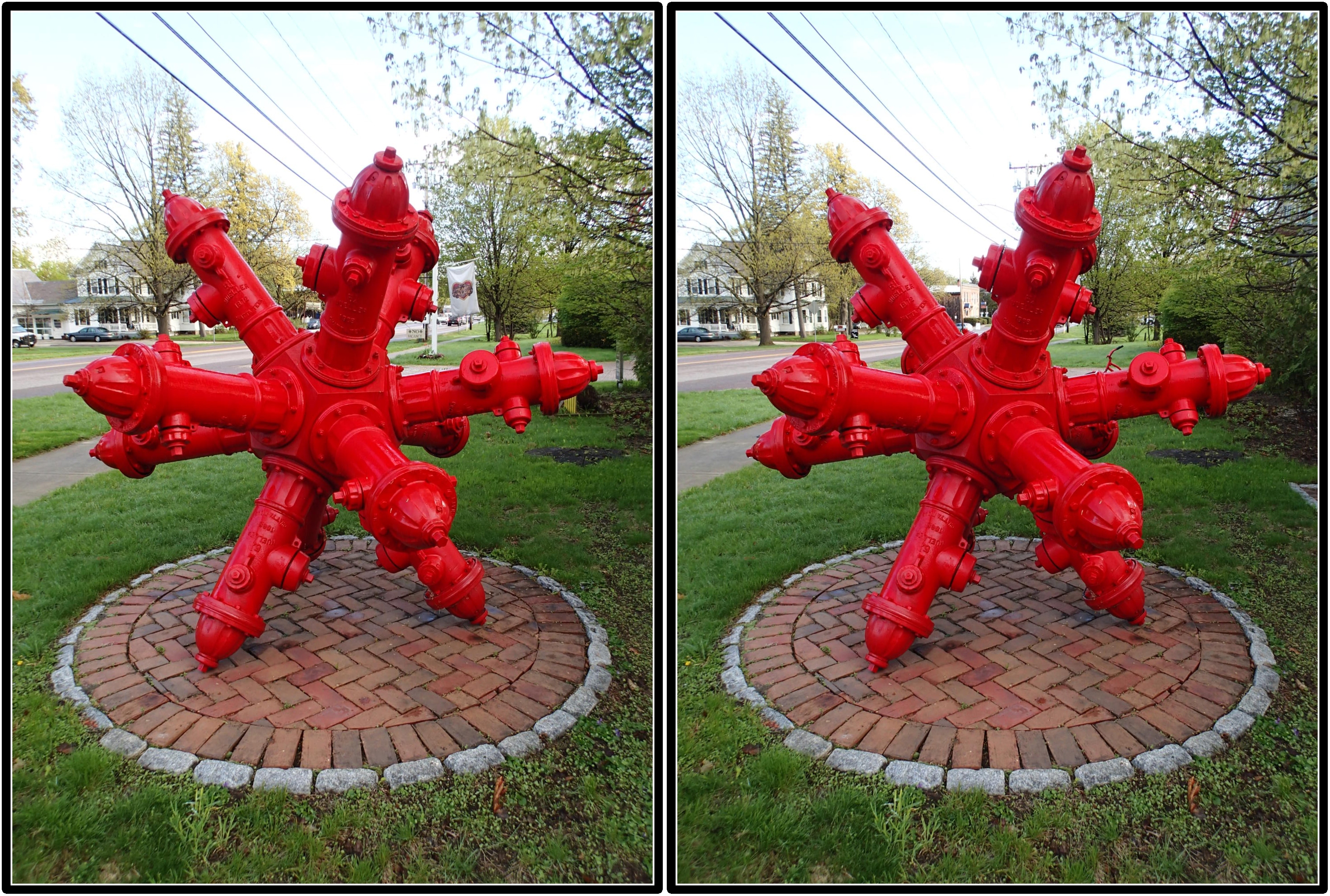
Dodecahedron hydrants

Another beautiful morning in Vermont.
lake.champlain • shoreline
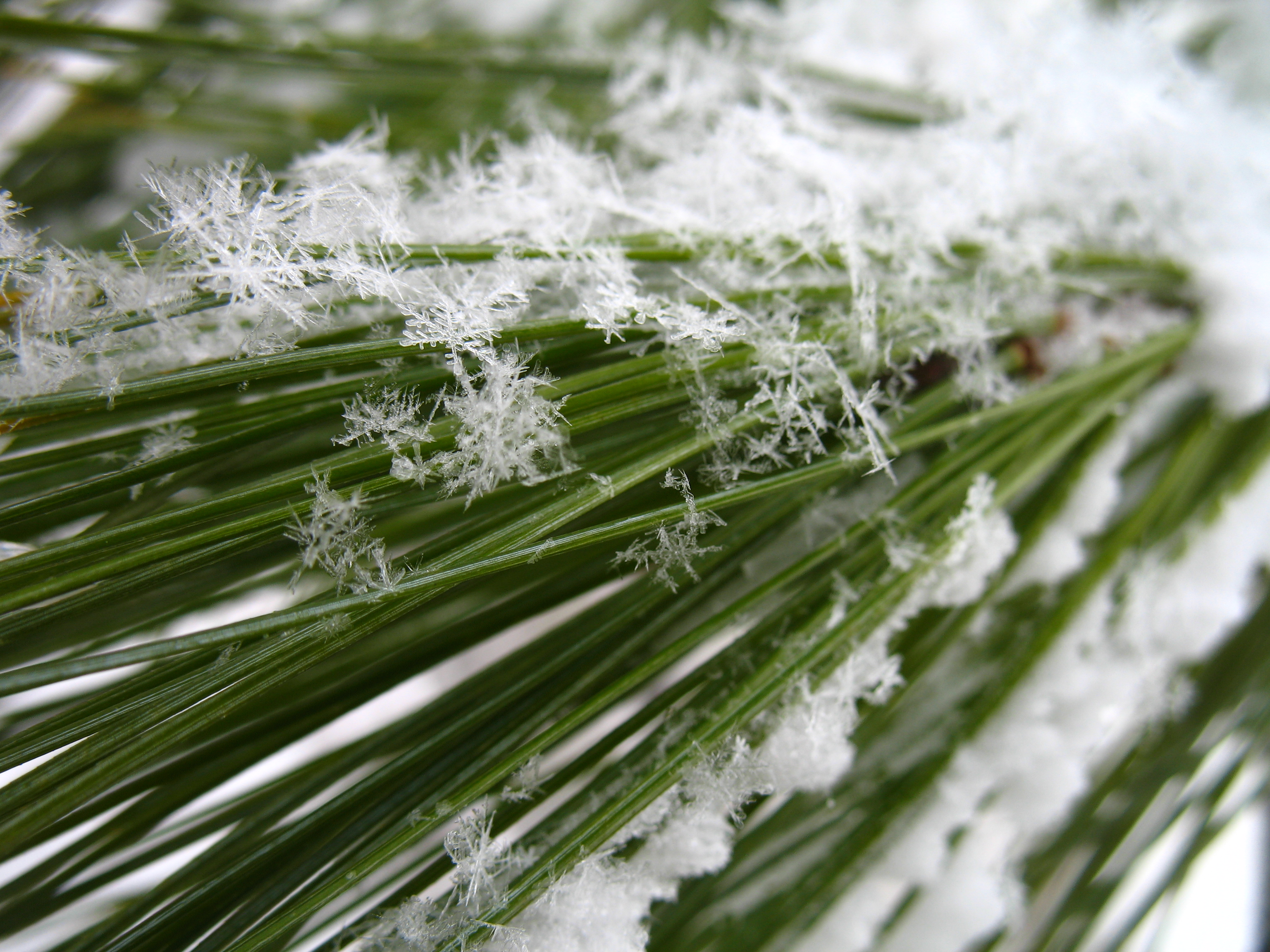
oakledge pine

lake.champlain • sunset

Frightening Bird's Eye View... #perspective #vantage #art #artspaces #museumspaces #museumseries Painting: "Soaring" (1950) by Andrew Wyeth (1917 - 2009)
Roadside View
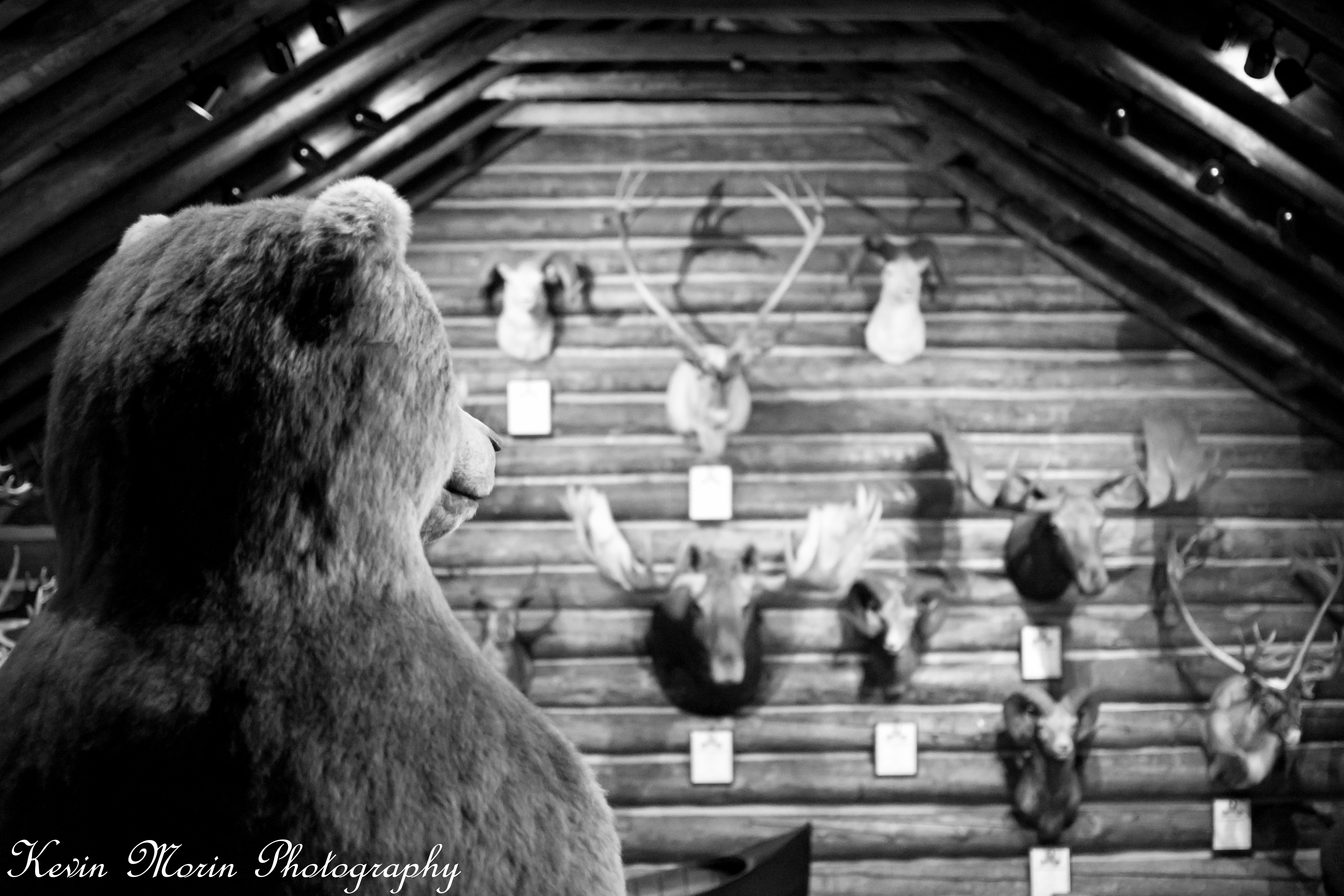
A Bears View

Lake View #btv
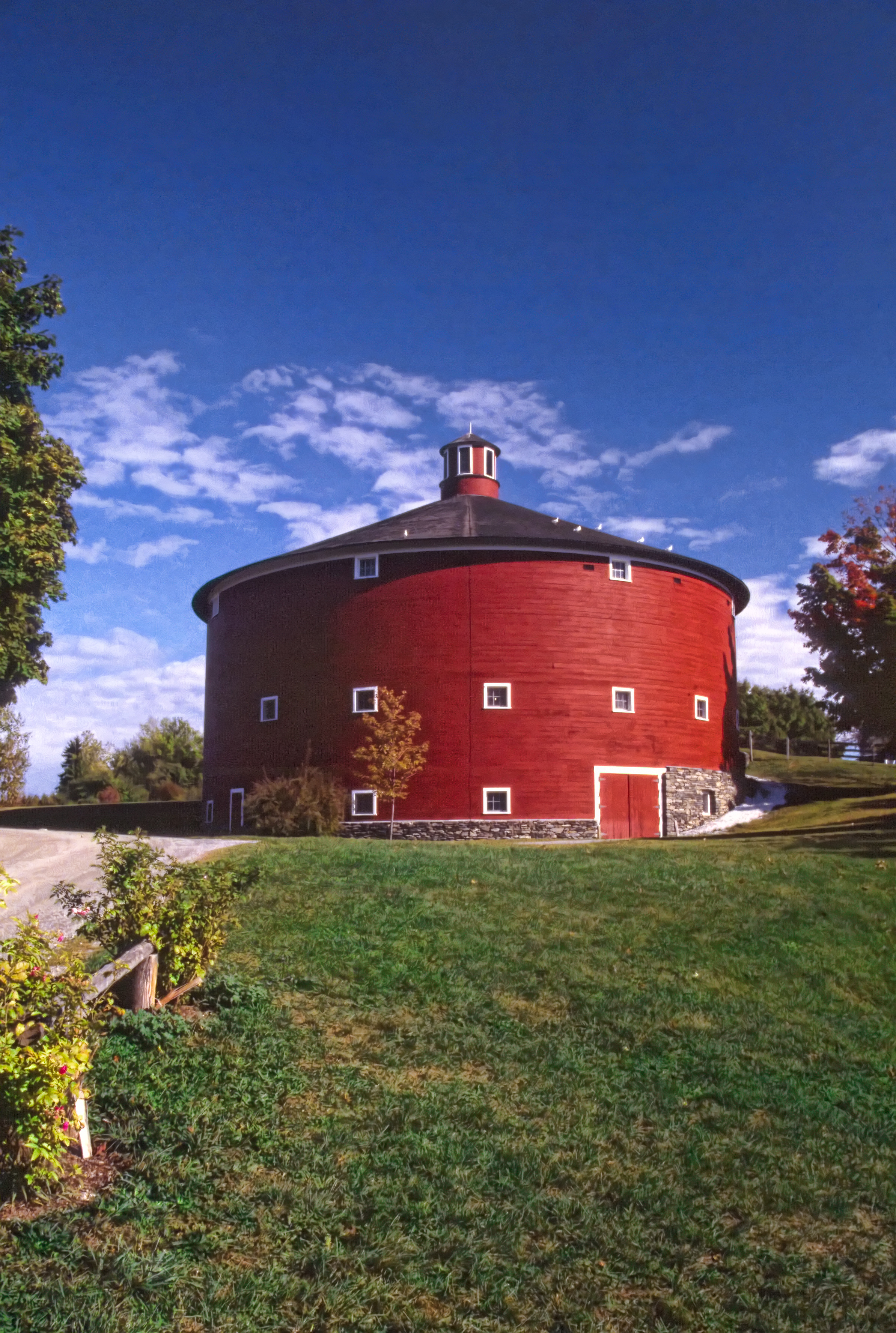
Round Barn, Shelbourne, VT
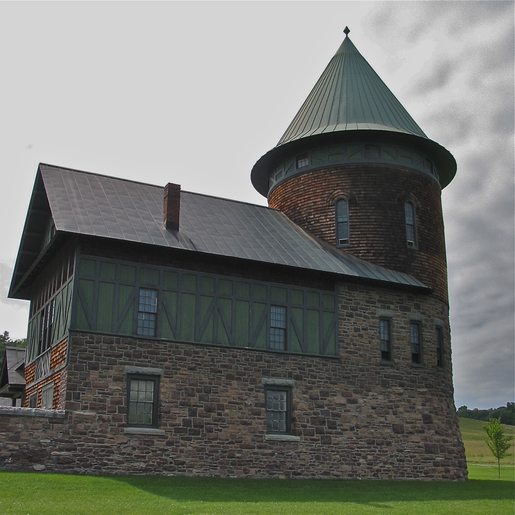
Shelburne Farms (1886) – Farm Barn (1888-90) - detail

after.Sandy • sunrise.rainbow (L)
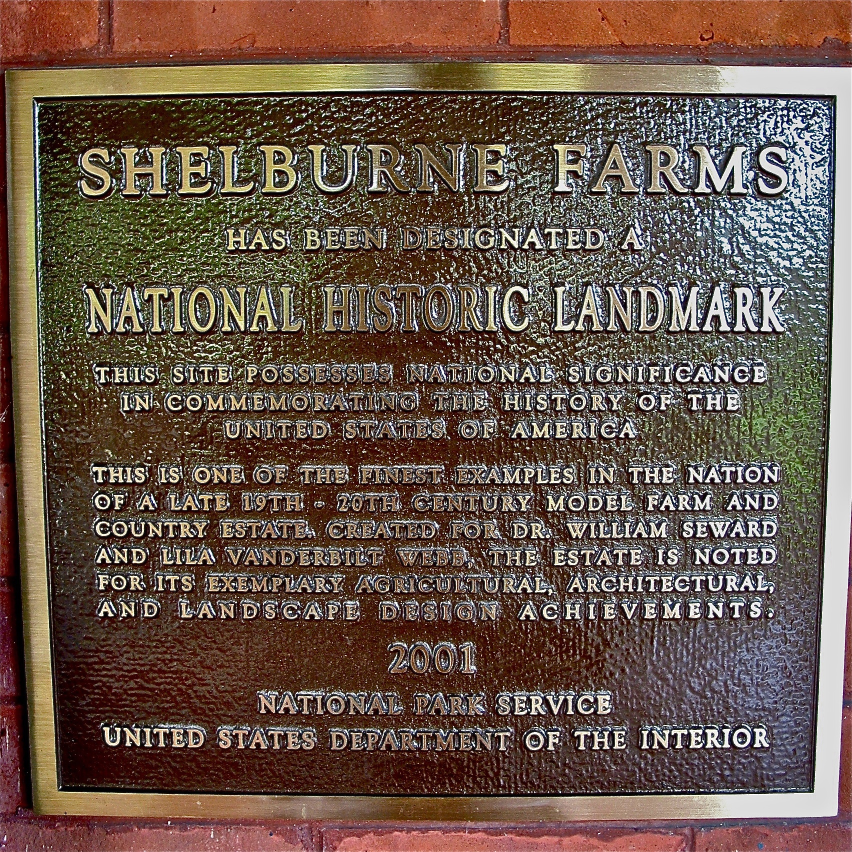
Shelburne Farms (1886) – National Historic Landmark plaque
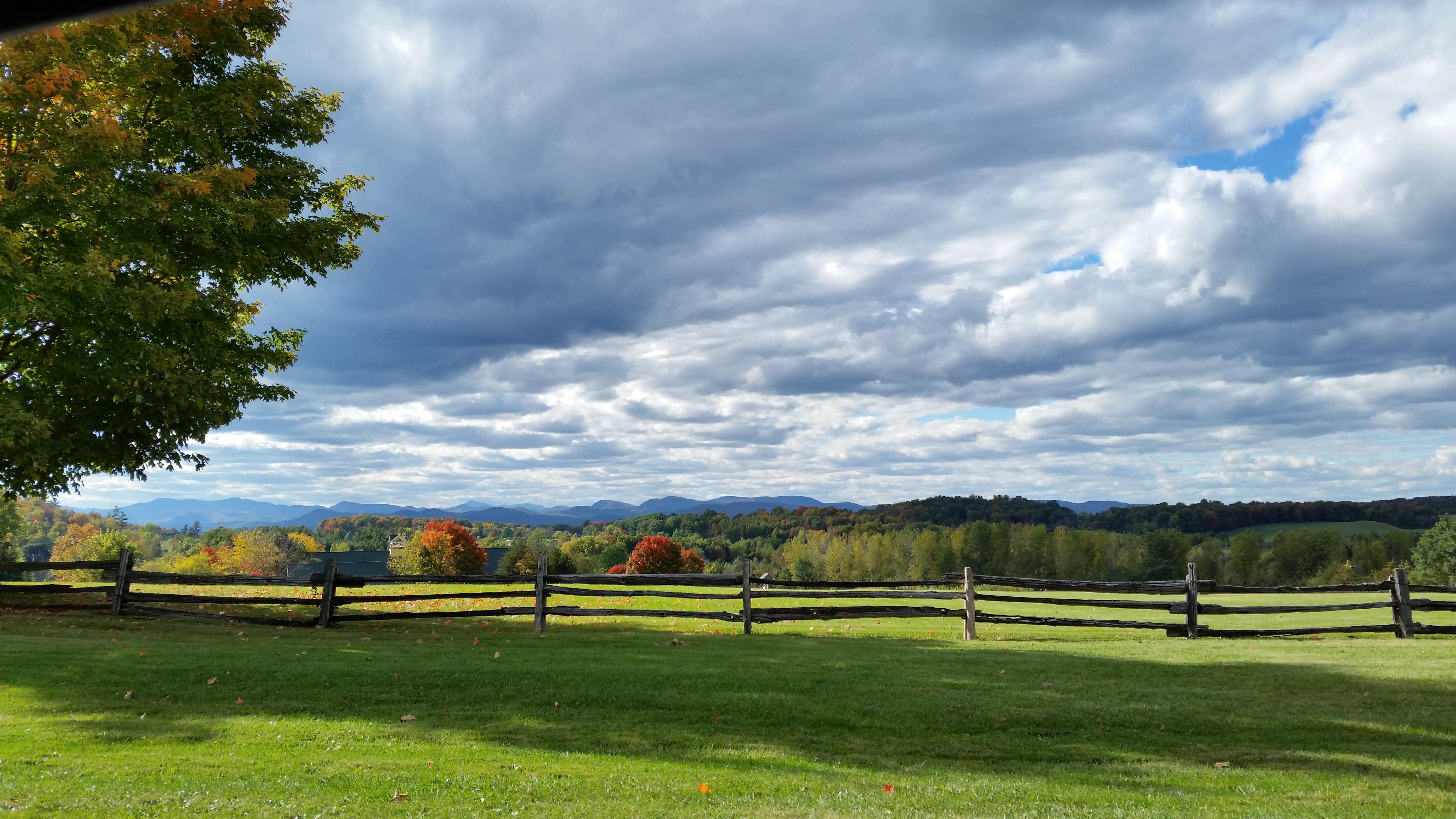
This morning's view
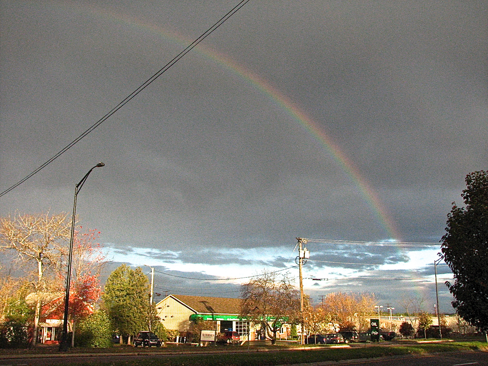
after.Sandy • sunrise.rainbow (R)
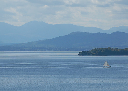
Lake Champlain
Burlington, Vermont
low perspective

Adirondack sunset

Primal Dance #2

Dali Re-enacted in 21st Century #landscape #artspaces #sculpturegarden
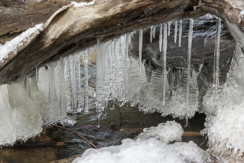
lake ice

Puffy White Clouds
Vermont_D718576-Edit-Edit.jpg
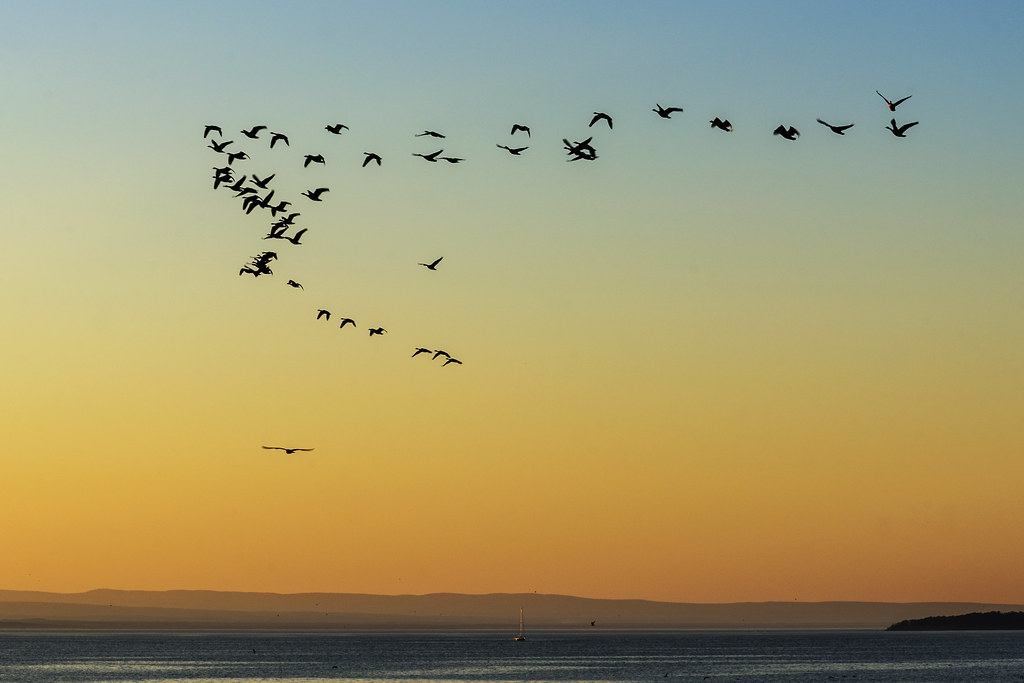
Flying South

primal dance

Tree in Lake Champlain in Burlington VT. Passed by it on a foggy morning run south along the lake.

After the Moonset

Vermont-6380_HDR.jpg

Points West

Leddy Park

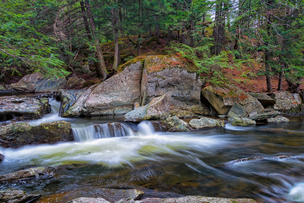
Mill Brook Falls
Vermont_D718766-Edit.jpg

Burlington Waterfront Swing

Field & Wild Flowers
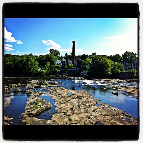
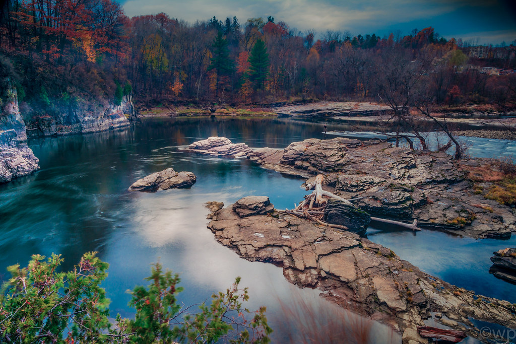
The Winooski Falls
Topographic Map of 1 Mill St, Burlington, VT, USA
Find elevation by address:

Places near 1 Mill St, Burlington, VT, USA:
60 Winooski Falls Way
1 Winooski Falls Way
48 E Allen St
Salmon Hole
Winooski
Champlain Mill Path
Centennial
Centennial Field
8 Niquette Ct, Winooski, VT, USA
West Allen Street
279 Grove St
250 Colchester Ave
Stevens Street
Trinity Campus Residence Halls Uvm
135 Hildred Dr
74 University Rd
Centennial Woods Natural Area
East Avenue
250 W Allen St
1 Centennial Ct
Recent Searches:
- Elevation of Lytham Ln, Katy, TX, USA
- Elevation of Tater Hill, Oklahoma, USA
- Elevation of NY-, Friendship, NY, USA
- Elevation of 64 Danakas Dr, Winnipeg, MB R2C 5N7, Canada
- Elevation of 4 Vale Rd, Sheffield S3 9QX, UK
- Elevation of Keene Point Drive, Keene Point Dr, Grant, AL, USA
- Elevation of State St, Zanesville, OH, USA
- Elevation of Austin Stone Dr, Haslet, TX, USA
- Elevation of Bydgoszcz, Poland
- Elevation of Bydgoszcz, Poland