Elevation of 1 Lily Garth Cottages, Roundthwaite, Penrith CA10 3XU, UK

Location: United Kingdom > Cumbria > Roundthwaite >

Longitude: -2.6048238

Latitude: 54.4240662

Elevation: 181m / 594feet

Barometric Pressure: 99KPa

Elevation Map:

elevation map of 1 Lily Garth Cottages, Roundthwaite, Penrith CA10 3XU, UK

Satellite Map:

Satellite map of 1 Lily Garth Cottages, Roundthwaite, Penrith CA10 3XU, UK

Related Photos:

lakedistrict shap shapabbey mywinners riverlowther abbeybridge
Abbey Bridge
uk cloud nationalpark yorkshire valley cumbria pennine dales knott sedbergh howgill howgillfells cautley harterfell rawthey greatdummacks benend wandalehill grerefell adamthwaitebank
Looking north-east from Great Dummacks, Howgill Fells near Sedbergh, Yorkshire Dales National Park, Cumbria, UK
uk light sunset lune nationalpark beck bram yorkshire hill north railway chapel viaduct valley cumbria dales knotts rigg dismantled sedbergh castley calders howgillfells firbankfell aranthaw brantfell longrigg seatknott bramriggbeck swarthgreaves
Near-sunset view from Calders, Brant Fell, Howgill Fells near Sedbergh, Yorkshire Dales National Park, Cumbria, UK
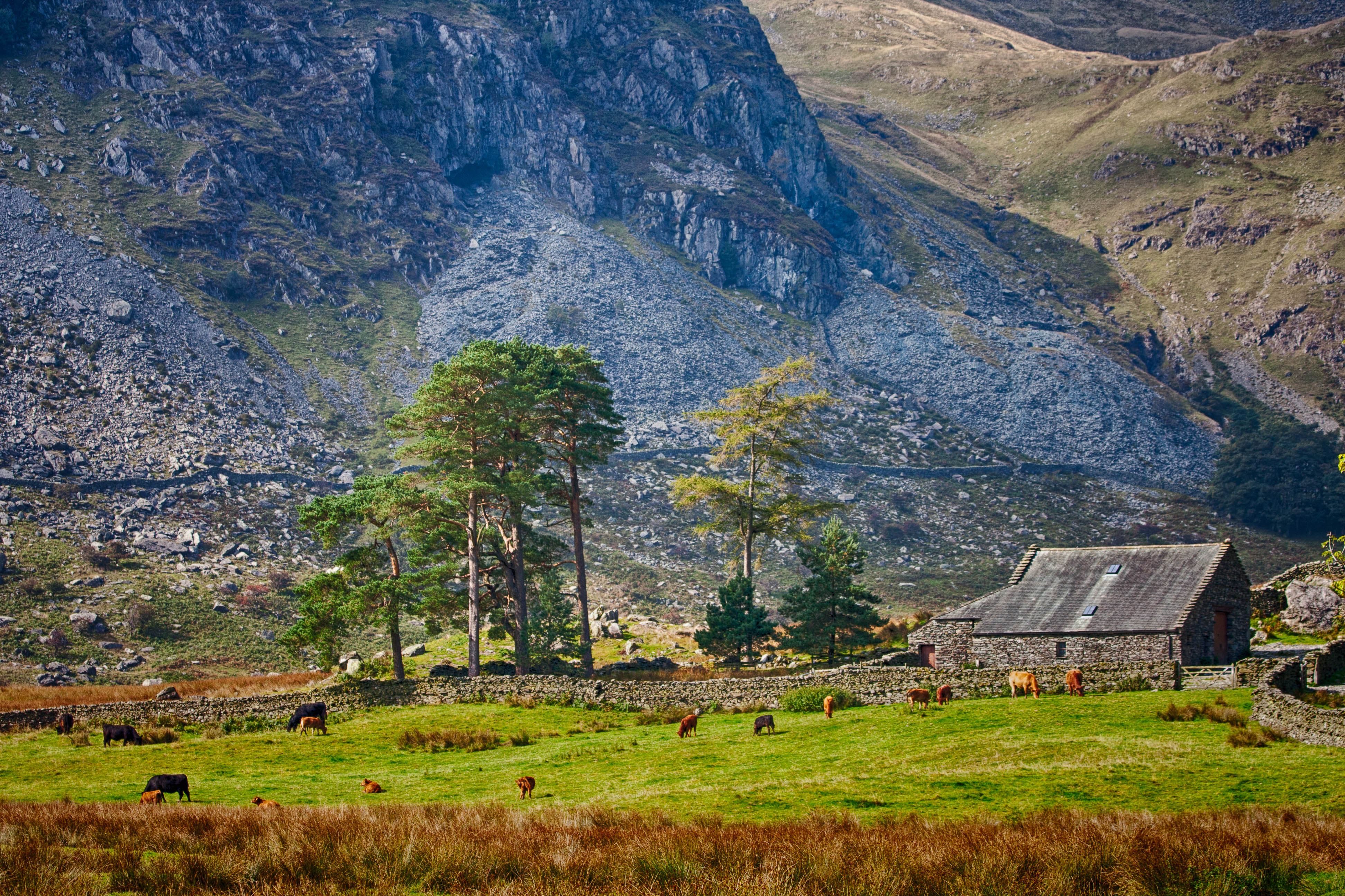
england nikon sigma cumbria thelakes thelakedistrict haweswater englishlandscape nikond90 sigma1750 thelakedistrictnationalpark haweswaterreservoir sigma1750f28 cumbrianlandscape cumbriancountryside
Haweswater Views
uk ireland summer england mountains flickr moody yorkshire best cumbria 2c videograb yorkshiredalesnationalpark therebeastormabrewin 5dmk2 72dpipreview ©lowresolutionpreview ©2c
Wild Boar Fell tones & textures, Yorkshire Dales, England.
uk bridge grass lune river motorway south railway reservoir viaduct valley cumbria disused gorge killington lakeland m6 fell turbine knowles windfarm moorland fellhead sedbergh howgill howgillfells lambrigg westcoastmainline arnsideknott wcml kentestuary crookoflune northwesternrailway firbank lowgill linghaw ingletonbranch
M6 motorway seen from the Howgill Fells near Sedbergh, Cumbria, UK
uk cloud nationalpark sheep yorkshire valley cumbria pennine dales knott swaledale greenbell sedbergh howgill howgillfells cautley harterfell rawthey yarlside greatdummacks benend wandalehill grerefell adamthwaitebank
Looking north-east from Great Dummacks, Howgill Fells near Sedbergh, Yorkshire Dales National Park, Cumbria, UK
cumbria yorkshiredales howgills howgillfells inminiature
In miniature...
wood uk shadow tree field nationalpark high sheep farm yorkshire hill valley cumbria moor sunbeam fell dales birks sedbergh howgill howgillfells cautley rawthey marshgate greatdummacks roughfell westbaugh sayerclose
Rawthey Valley from Great Dummacks, Howgill Fells near Sedbergh, Yorkshire Dales National Park, Cumbria, UK
yorkshiredales howgillfells brantfell daleshighway
PICT0019 View East from Brant Fell, Howgill Fells
weather rainbow view lakedistrict brough sonystla65v
Lake District
wood uk cloud mist west tree field fog nationalpark sheep farm yorkshire hill valley cumbria moor dales birks drumlin whernside garsdale sedbergh howgill howgillfells cautley dentdale bowscale baughfell greatcoum rawthey marshgate ayegillpike hebblethwaitehall greatdummacks roughfell sayerclose
Rawthey Valley from Great Dummacks, Howgill Fells near Sedbergh, Yorkshire Dales National Park, Cumbria, UK
farming cumbria farms agriculture crags drystonewalls lakedistrictnationalpark erratic kentmere nwengland glacialdeposits areaofoutstandingnaturalbeauty olétusfotos lunerambler kentmerevalley fuji5thnov erraticboulderskentmere
Erratic, Kentmere
uk cloud field lune river nationalpark beck farm valley cumbria lane goodies fell thwaite yorkshiredales fellhead sedbergh castley topwithens howgill howgillfells holehouse gateside fourlaneends firbank brownmoor whitefell bramrigg longrigg castleyknotts tarnhousebarn
Looking across the Lune Valley from Firbank Fell, near Sedbergh, Cumbria, UK
uk cloud west river nationalpark beck farm yorkshire valley cumbria dales hareshaw garsdale sedbergh howgill howgillfells cautley baughfell rawthey ayegillpike swarthfell rnbrawthey coonthardbrow rawthay cautleyholmebeck
Cautley Holme Beck and the Rawthey Valley, Howgill Fells near Sedbergh, Yorkshire Dales National Park, Cumbria, UK
square squareformat iphoneography instagramapp xproii uploaded:by=instagram foursquare:venue=4bbc93d0ed7776b020c73f51
View of Kendal Cumbria looking down from Kendal castle ruins.......#TAGSTAGRAM .COM #igsg #contestday #instarox_presents #bestoftheday #instauno #instagramhub #insta_shot #contestgram #Loadnvote #all_shots #dayshots #instapicturing #instamood #ourbestshot
square squareformat hudson iphoneography instagramapp uploaded:by=instagram foursquare:venue=4bbc93d0ed7776b020c73f51
This is the view of Kendal from the castle tower ruins.....#TAGSTAGRAM .COM #igsg #contestday #instarox_presents #bestoftheday #instauno #instagramhub #insta_shot #contestgram #Loadnvote #all_shots #dayshots #instapicturing #instamood #ourbestshots #daily
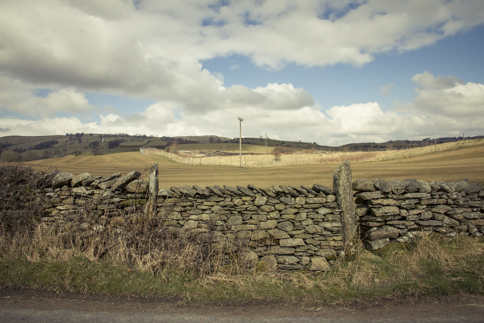
old england rural fence countryside cows grunge rustic cumbria worn barbedwire fields textured yorkshiredales sedburgh killingtonbridge applecrypt b6256
fenced in
uk lune nationalpark day sheep cloudy beck farm yorkshire hill chapel valley cumbria fold common moor dales sedbergh calders howgill howgillfells aranthaw brownmoor beckhouse bramrigg greyrigg dillicar rowantreegrains castleyknotts swarthgreaves
Arant Haw, Howgill Fells near Sedbergh, Yorkshire Dales National Park, Cumbria, UK
england lakedistrict cumbria highstreet harterfell riggindale kidstypike mardaleillbell haweswaterreservoir peathut selsidepike
Haweswater Reservoir
landscape cumbria haweswater bampton therigg
The Rigg - Haweswater
morning landscape lumix day cloudy lakedistrict panasonic explore cumbria g2 dmc thelakes shap mft explored 1445mmlens damianward shapwells ©damianward micro43 microfourthirds hfs014045
Foreboding Sky
painterly cumbria hipstamatic jimmylens blankofilm iphone4s jollyrainboflash
The River Lowther, Sleddale, Cumbria
slicesoftime
Show of Strength
cumbria iphone contemporaryartsociety hipstamatic jimmylens pistilfilm iphone4s jollyrainboflash
The Road to Sleddale, Cumbria
Dull day in Kendal Lake District
england sun sunlight lake painterly colour art clouds digital rural painting evening landscapes artwork paint bright sunny farmland cumbria textured killingtonlake applecrypt
killington lake
street high nikon sigma cumbria highstreet haweswater mardale nikond90 sigma1750 therigg sigma1750f28 mardalecommon riggingdale theoldcorpseroad
Haweswater Reservoir
lakedistrict longsleddale greycrag sadgill blinkagain bestofblinkwinners blinksuperstars bestofsuperstars blink4gallery
No wonder I'm struggling for breath
longexposure england water canon river nationalpark whitewater raw rapids cumbria gp manfrotto haida kendal sedgwick thelakedistrict morecambebay markiii llens greatphotographers riverkent kentmere staveley burneside nd1000 canoneos1dsmarkiii ef2870mmf28lusm leeholder greaterphotographers ©fred255photography2014
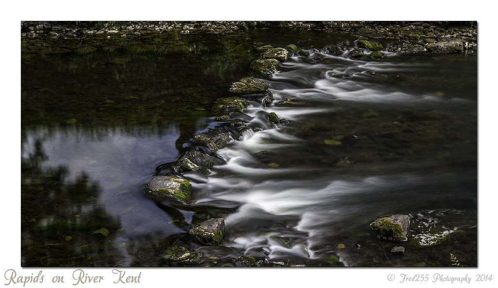
Rapids on River Kent
uk bridge water canon rocks stream cumbria tamron hdr luminance 10mm tonemapped 450d tonemapper pse8 dazza450d
It's just water under the bridge. HDR
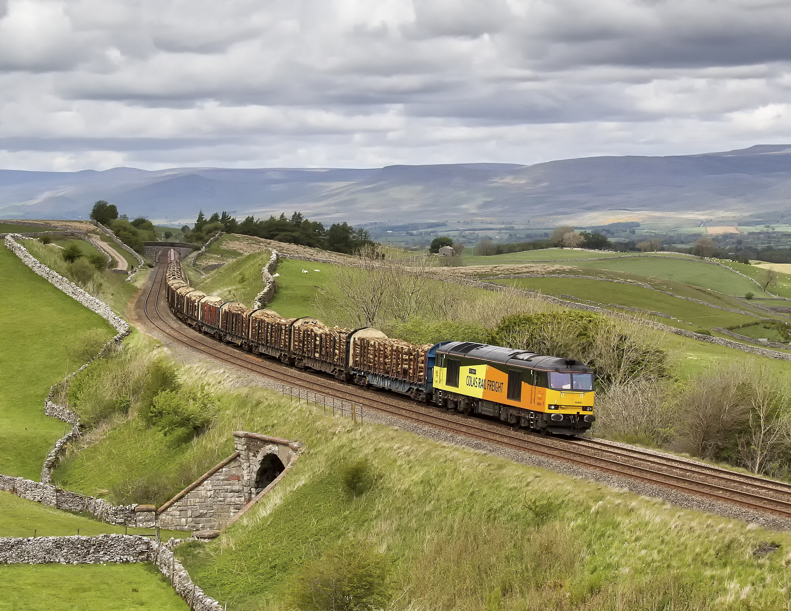
canon eos cumbria 7d
Log Train
More rain on the way.
New Direction
lakedistrict cumbria kentmere
IMG_3070.jpg
My Kingdom
uk field clouds rural landscape farmland cumbria telephonelines telegraphpole drystonewall
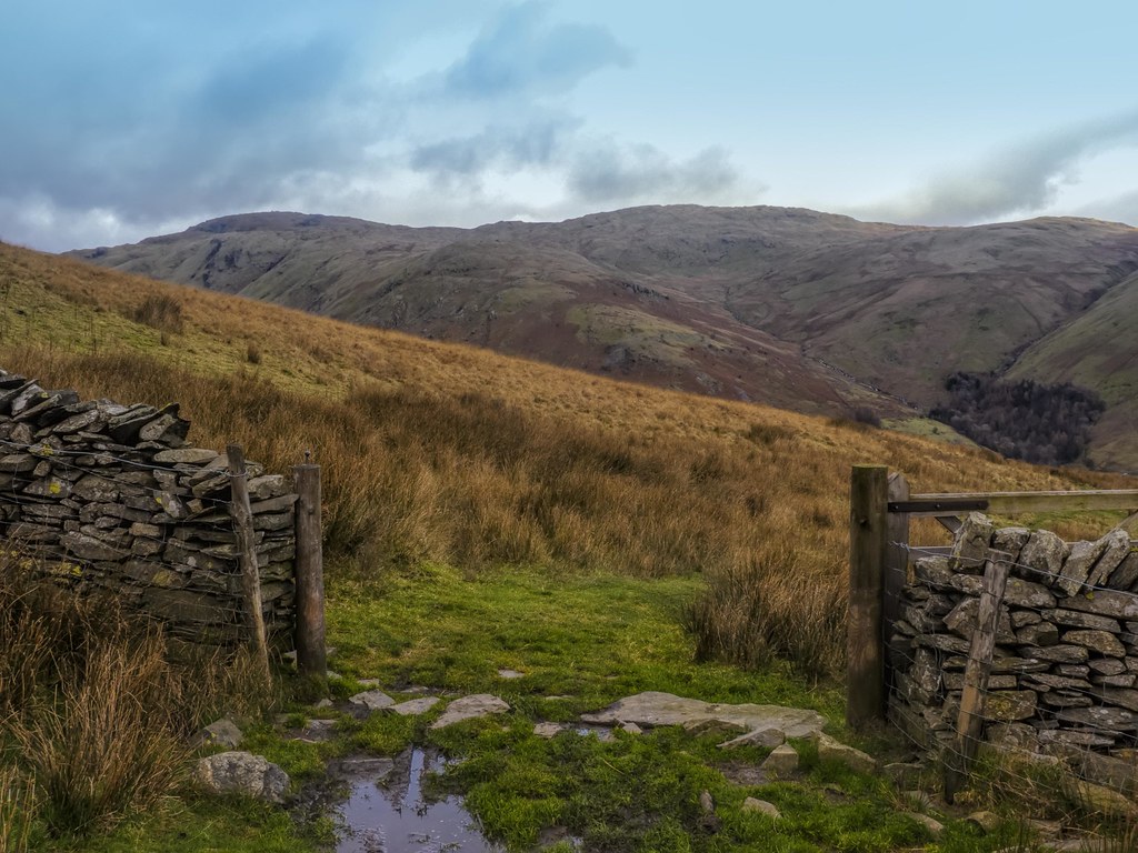
Once There Was a Gate
railway 87008 cityofliverpool greenholme westcoastmainline wcml class87 intercityswallow intercitylivery electricscot electricloco
Southbound 87 At Greenholme.
waterfall slowshutterspeed uldale
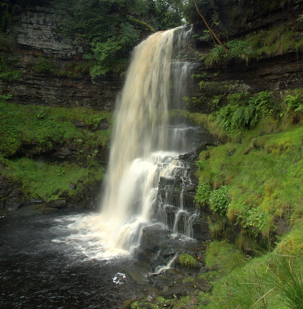
Uldale Force (sideview)
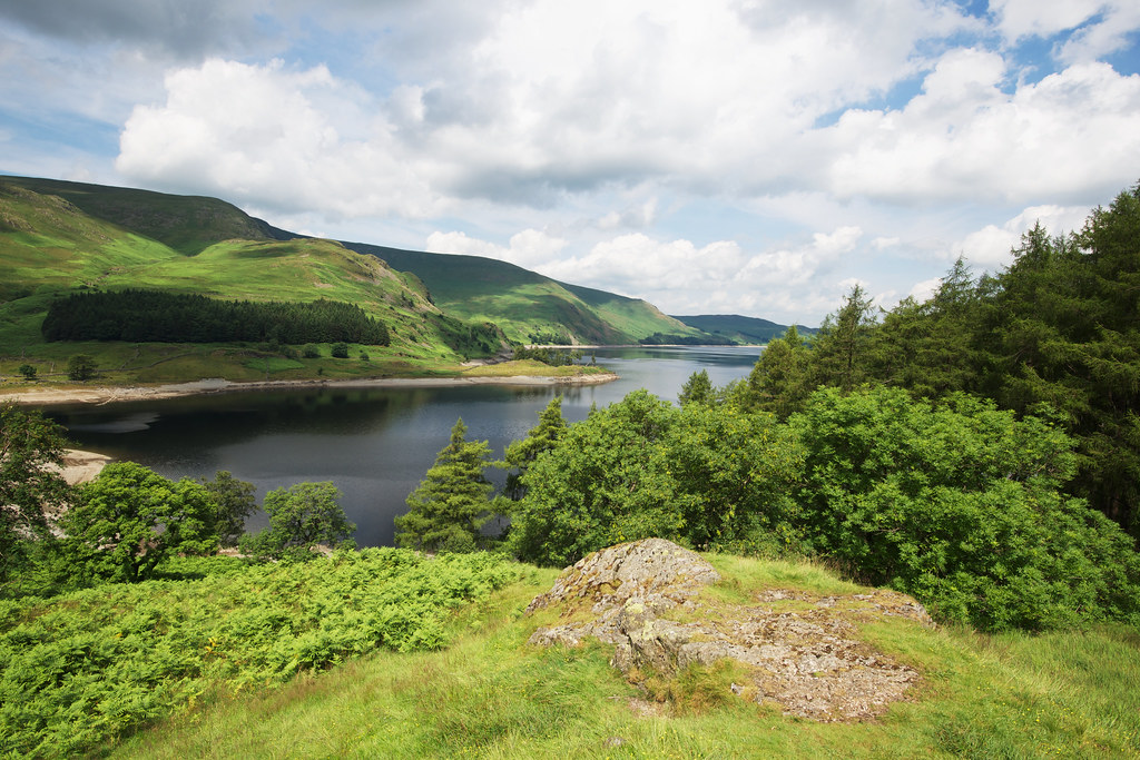
england day lakedistrict reservoir clear valley cumbria afs flooded d800 haweswater 1635mm
Haweswater Cumbria