Elevation of 1 La Lande, Saint-Laurent-sur-Gorre, France
Location: France > Aquitaine Limousin Poitou-charentes > Haute-vienne > Saint-laurent-sur-gorre >
Longitude: 0.9407476
Latitude: 45.7412187
Elevation: 332m / 1089feet
Barometric Pressure: 97KPa
Elevation Map:
Satellite Map:
Related Photos:
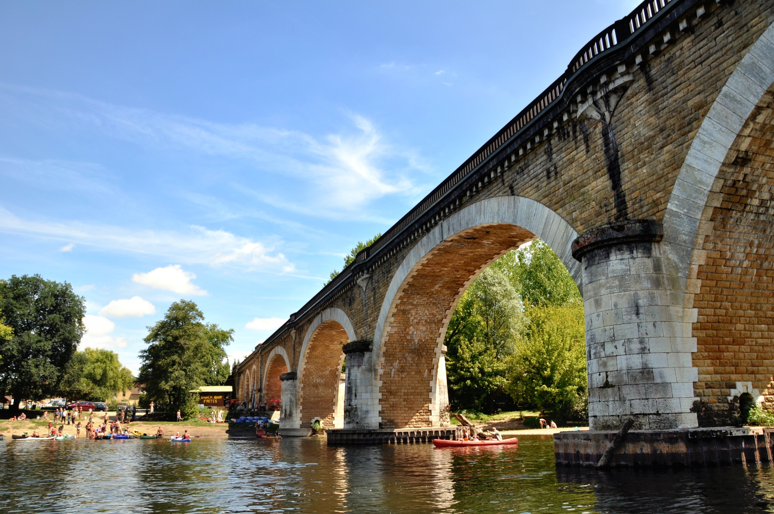
Benyac Bridge - View from the boat
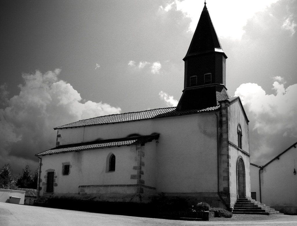
Ptite église à Lavignac
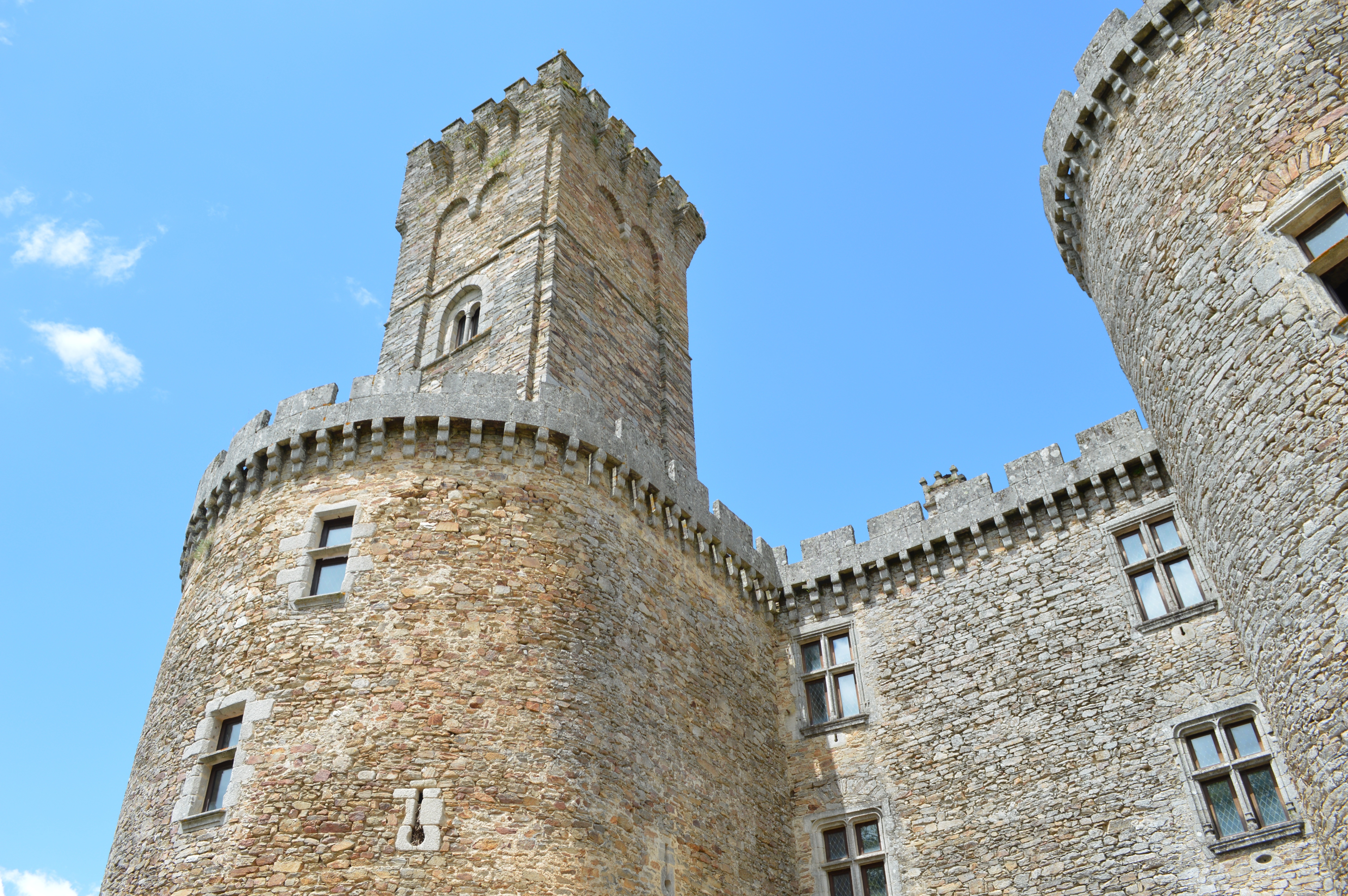
Chateau de Montbrun side view
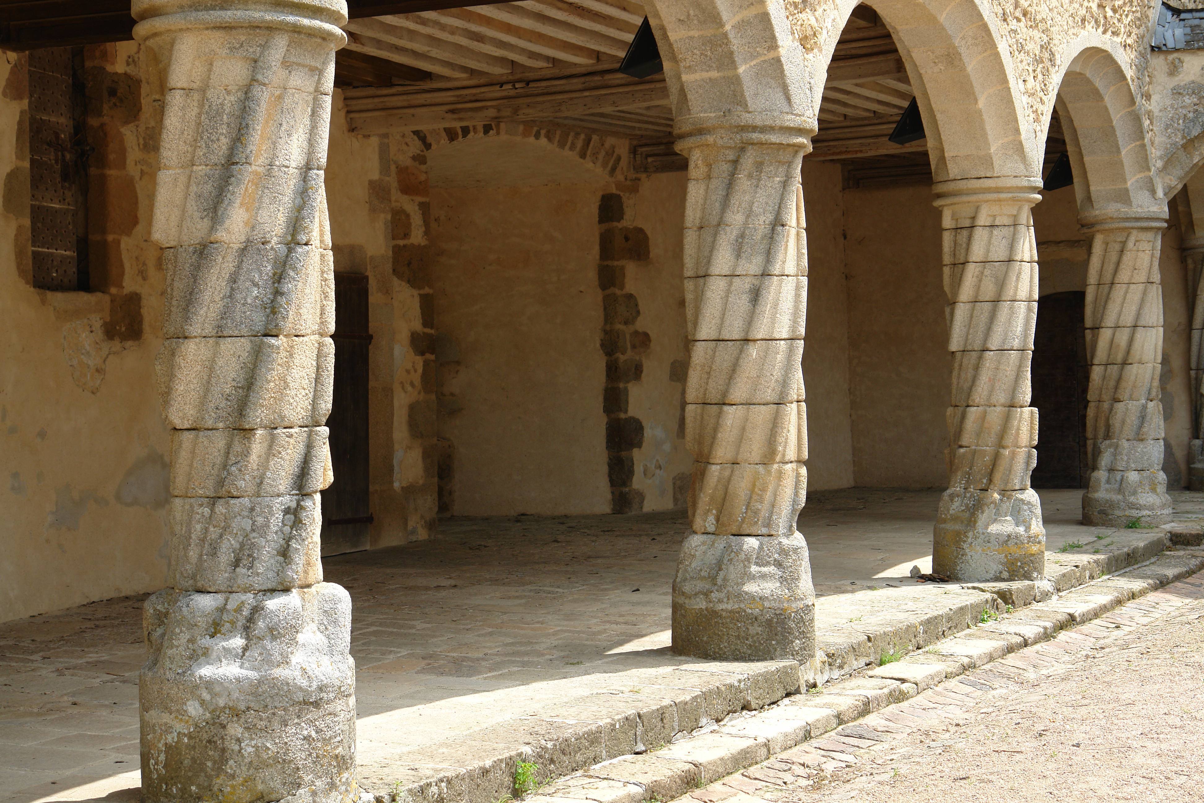
Carved columns inside the Chateau courtyard
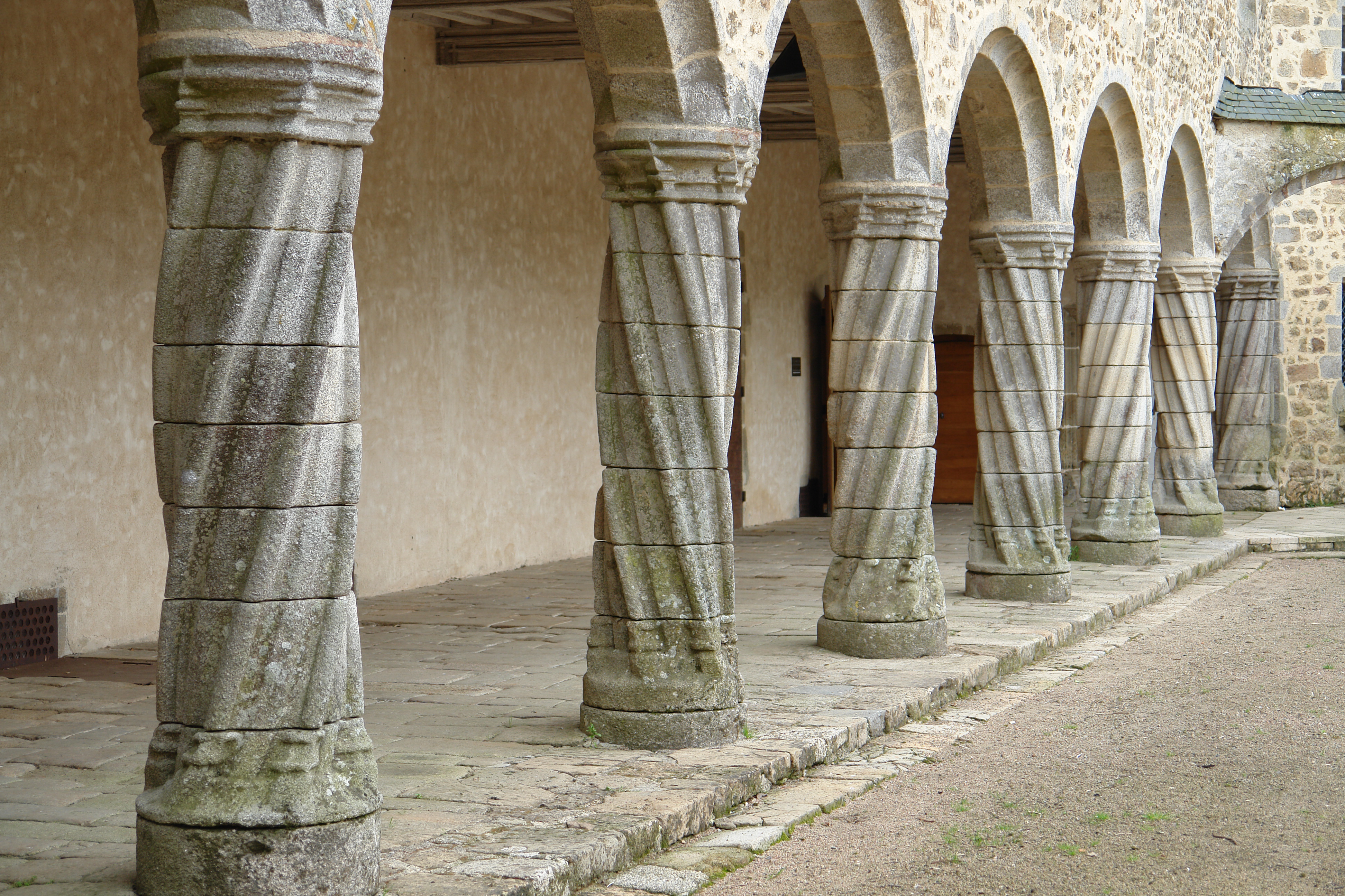
Carved columns inside the Chateau courtyard
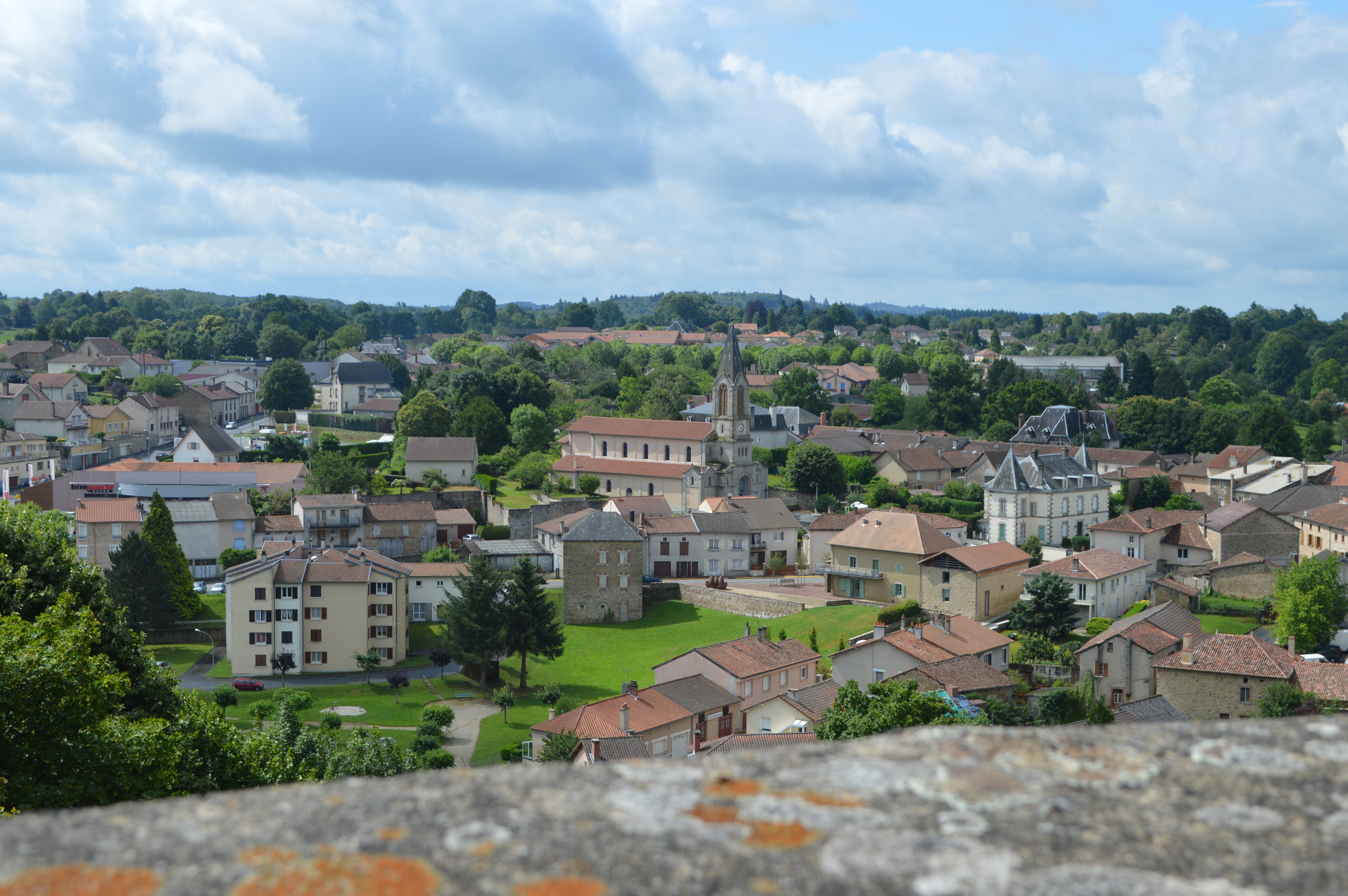
Overlooking Chalus
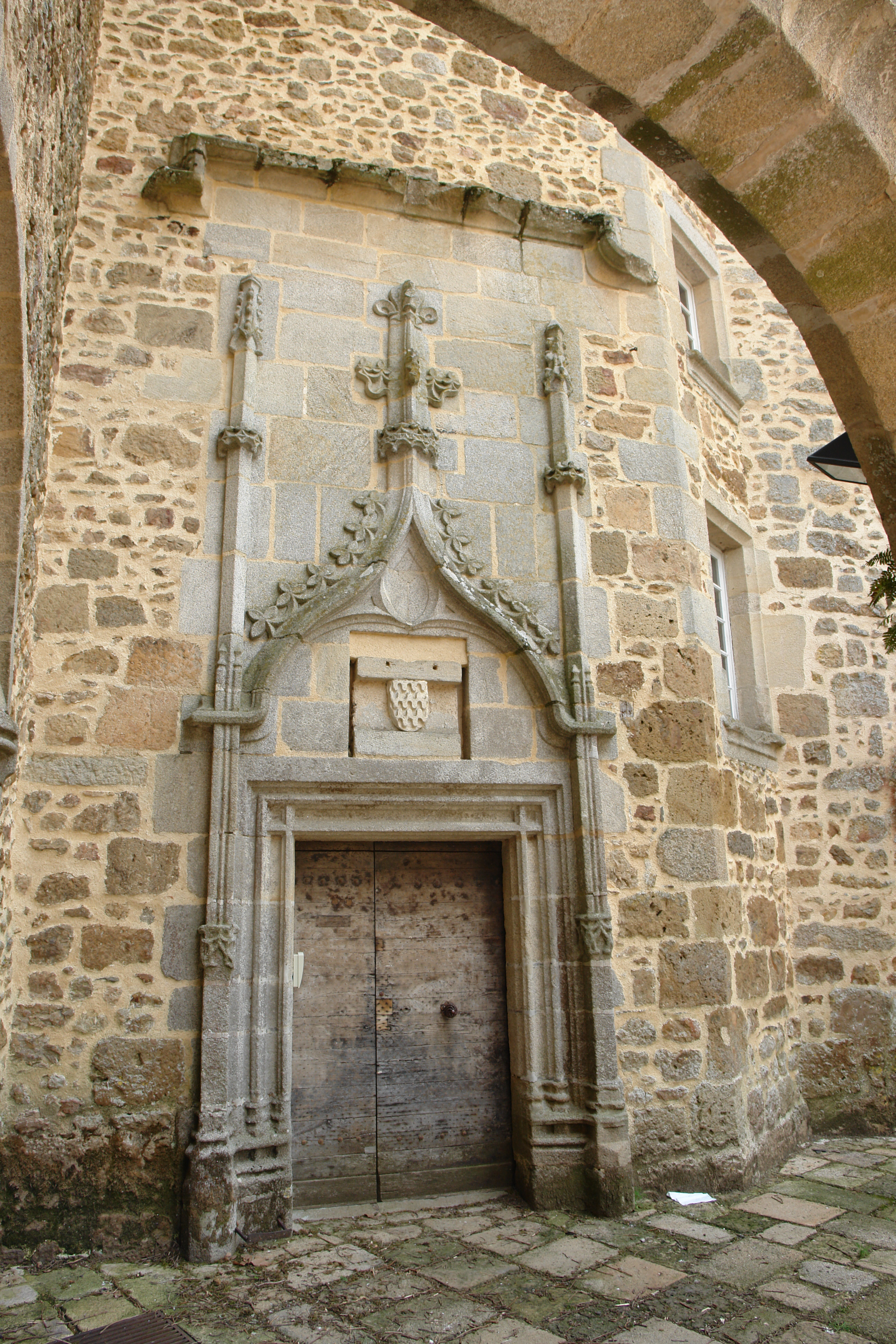
Inside the Chateau courtyard
The church at Rochechouart
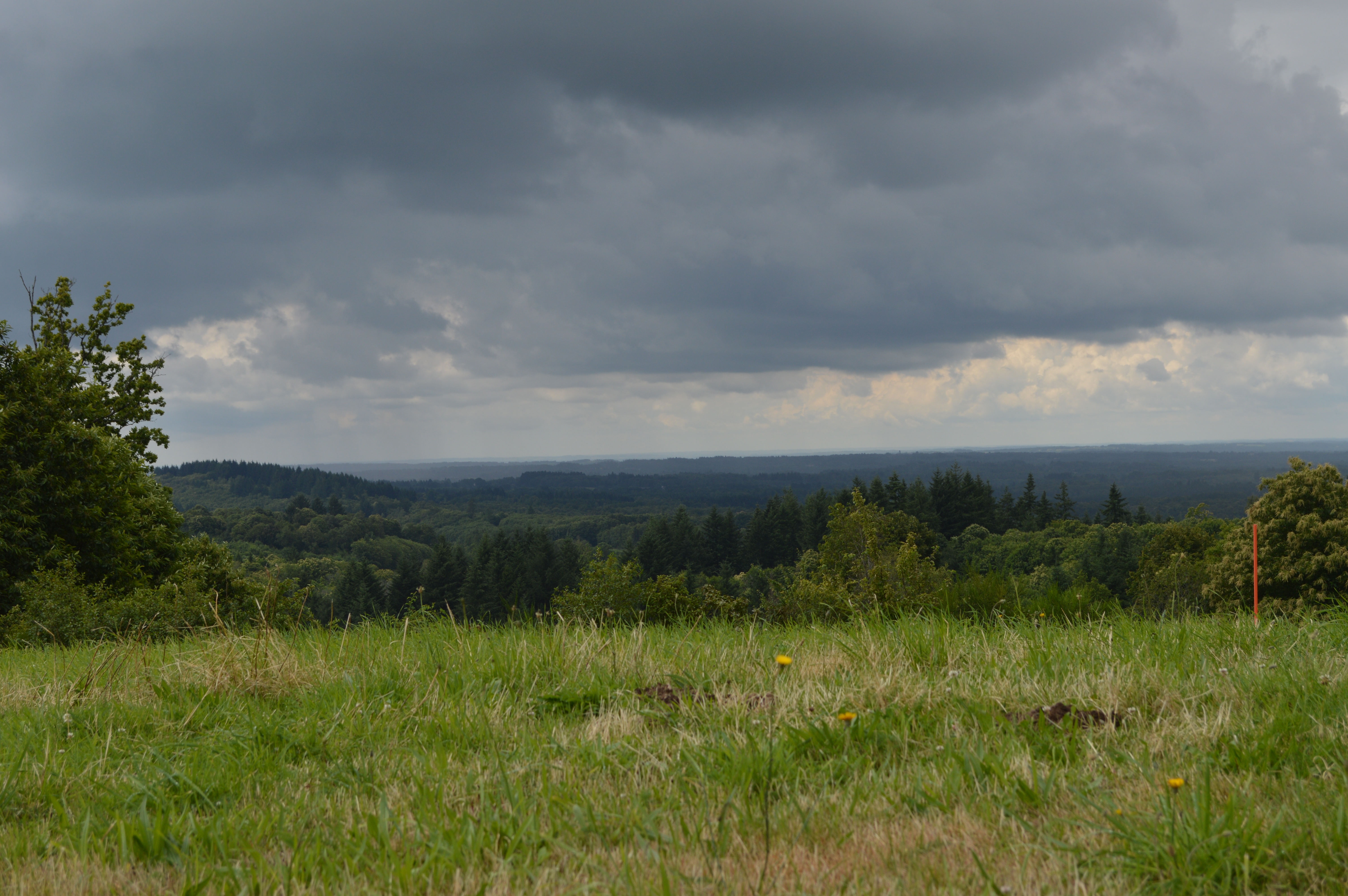
View from Le Grand Puyconnieux
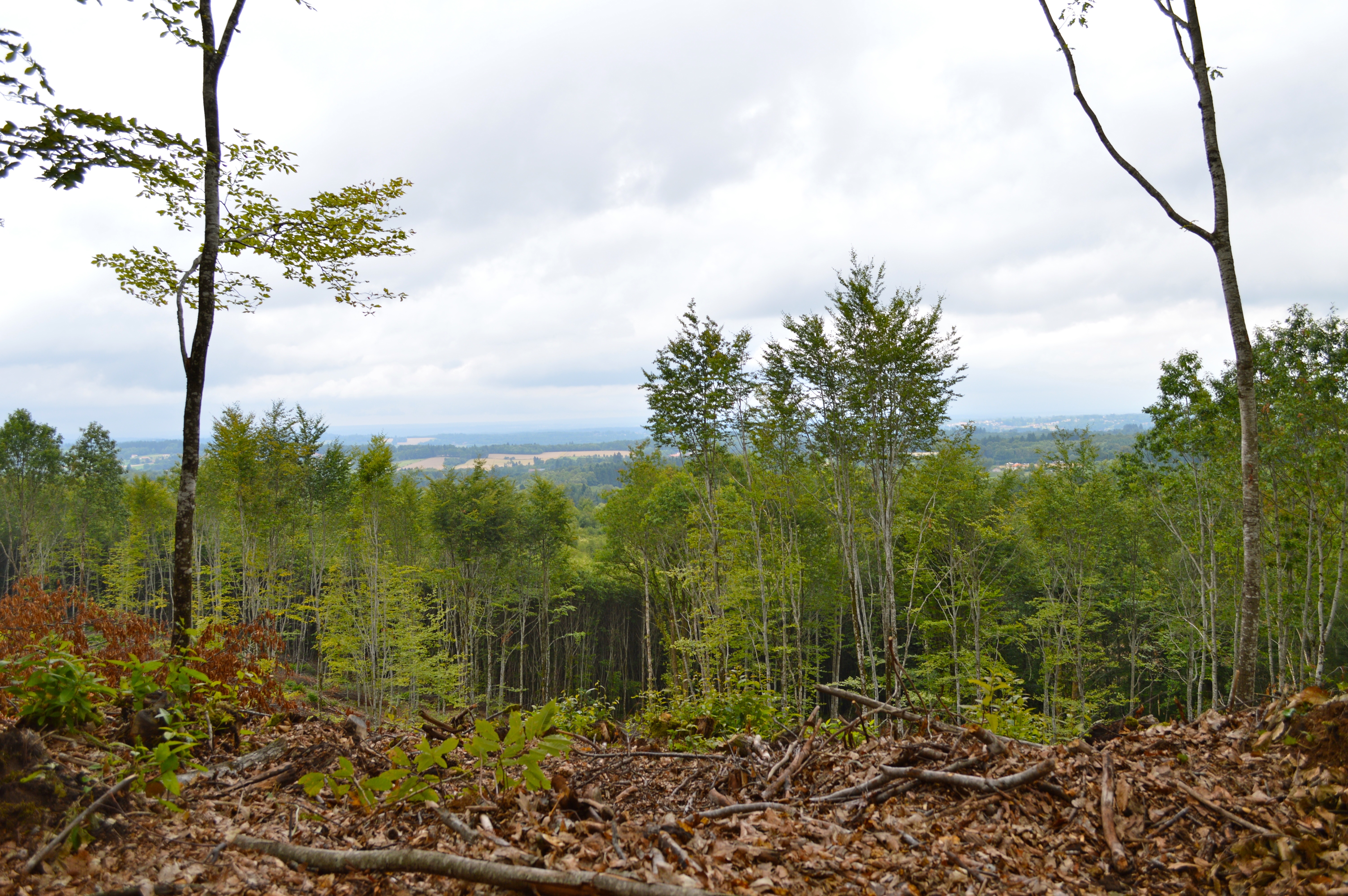
View from the Forest of Boubon
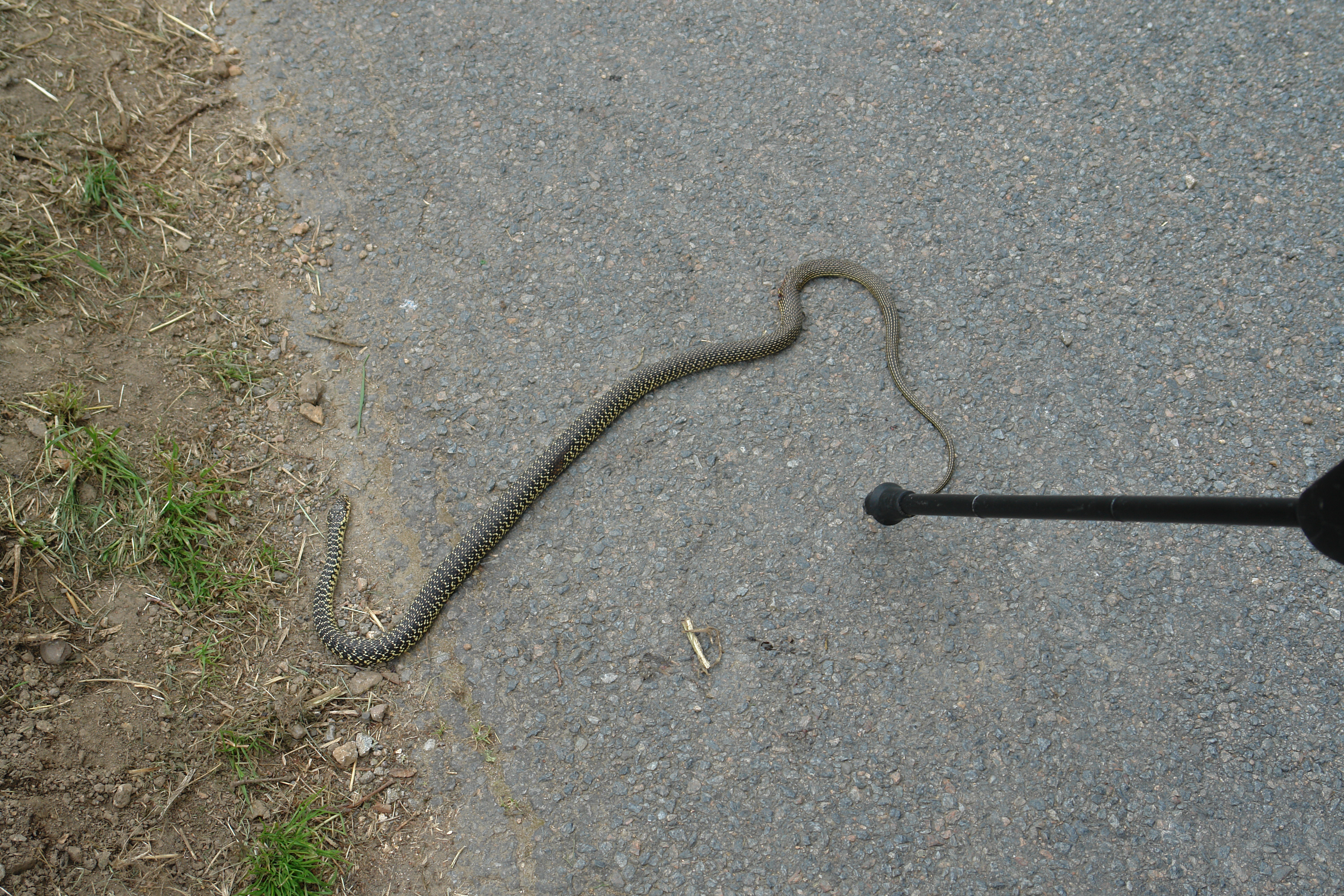
A dead snake seen as we ascended from the back of the castle
The chateau once belonged to Richard the Lionheart
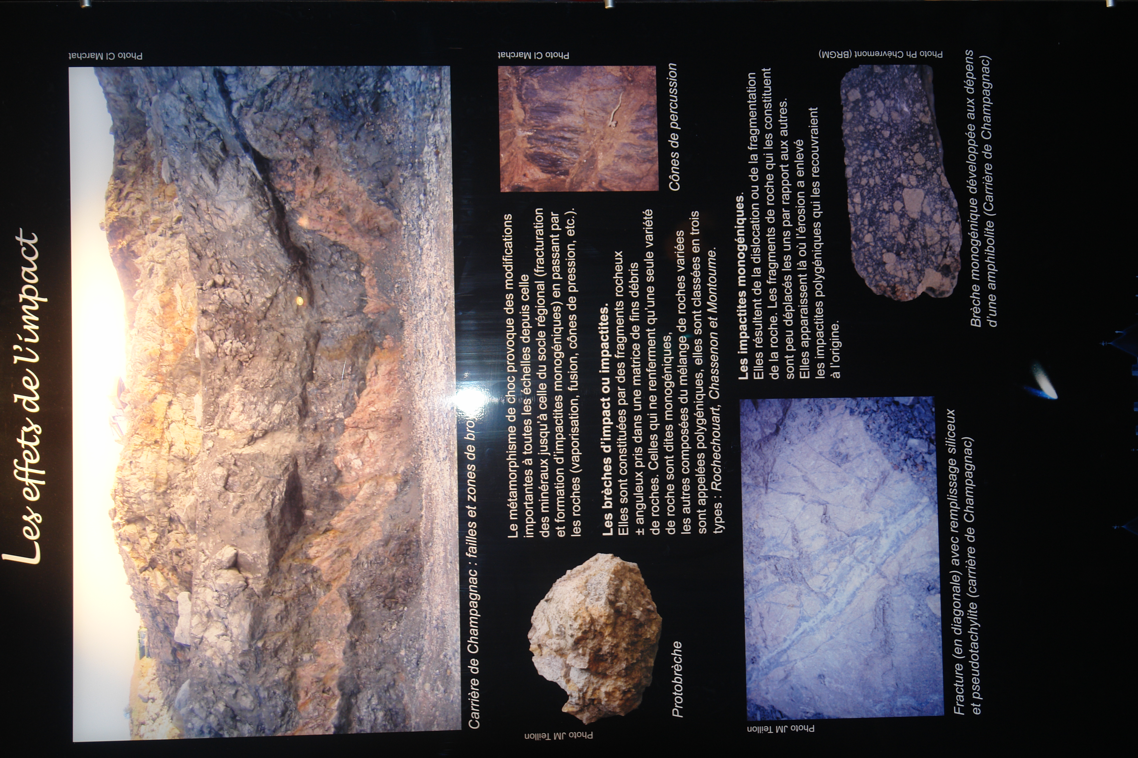
Impactite poster
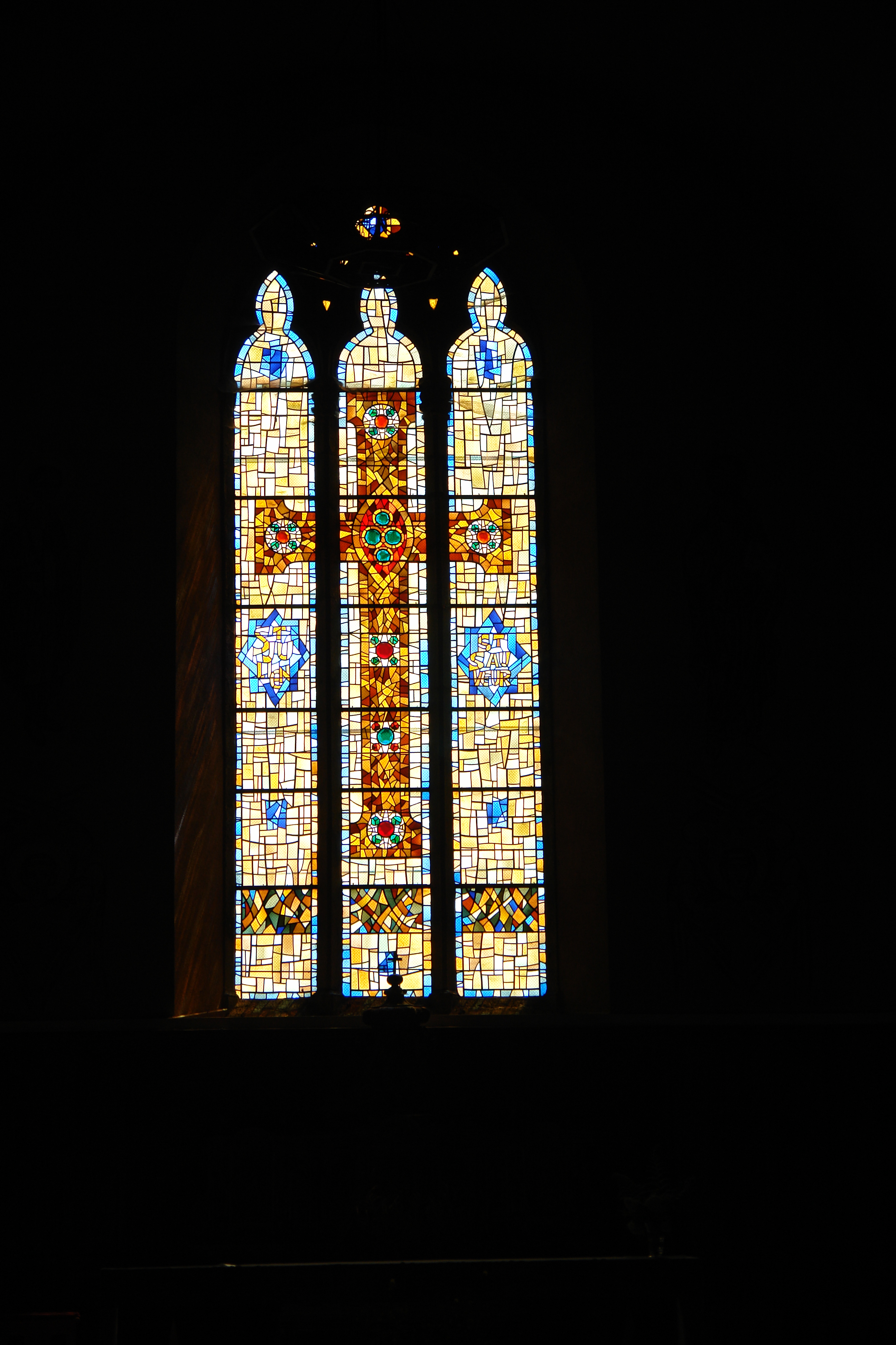
Window in Rochechouart Church
Inside the Chateau courtyard
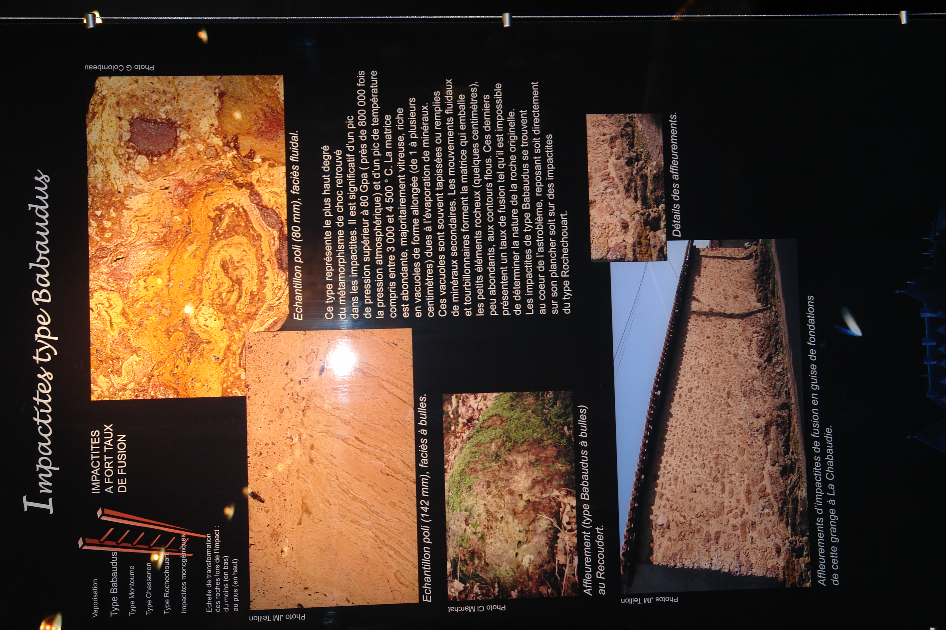
Impactite poster
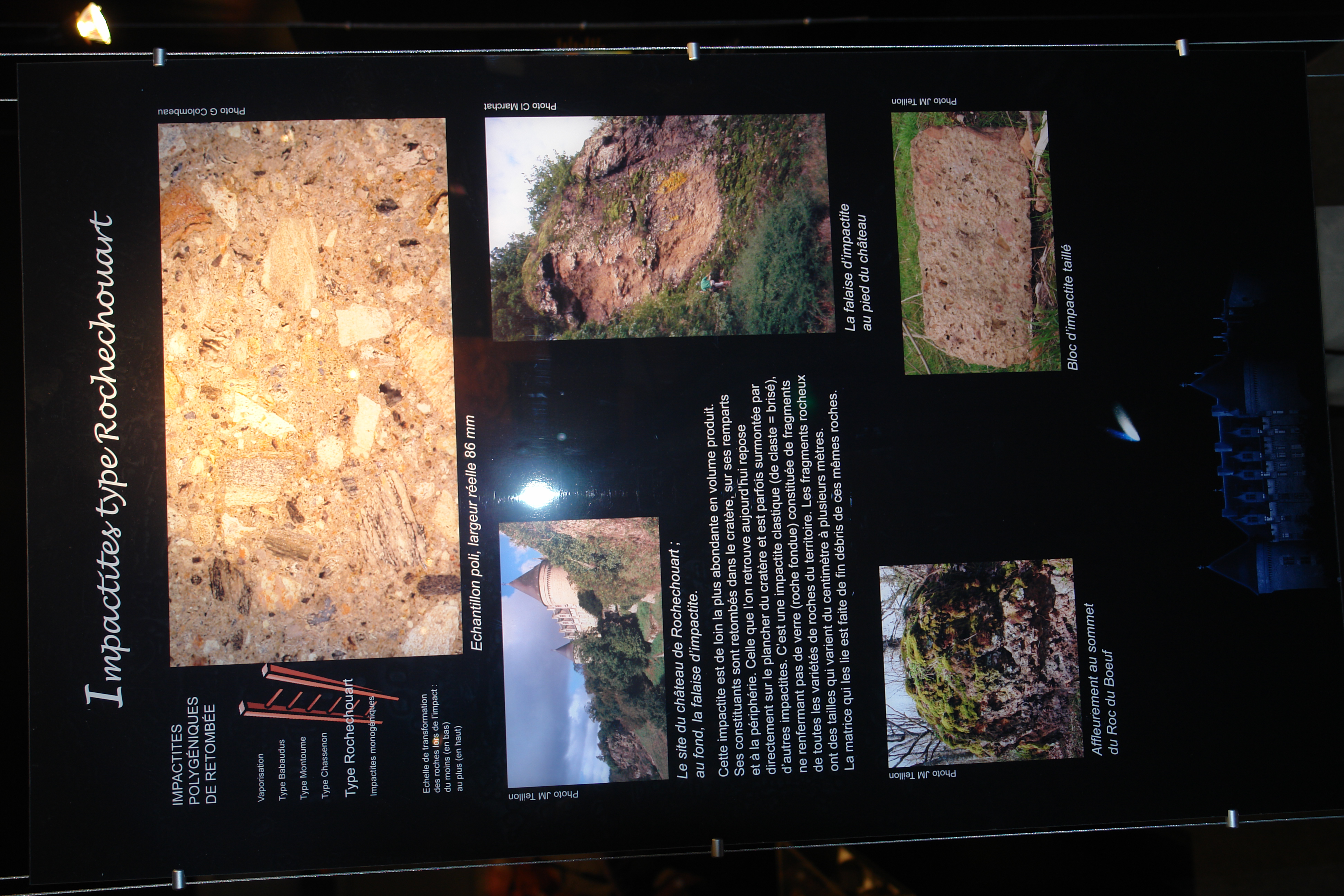
Impactite poster
Sign at a supermarket on the outskirts of Rochechouart
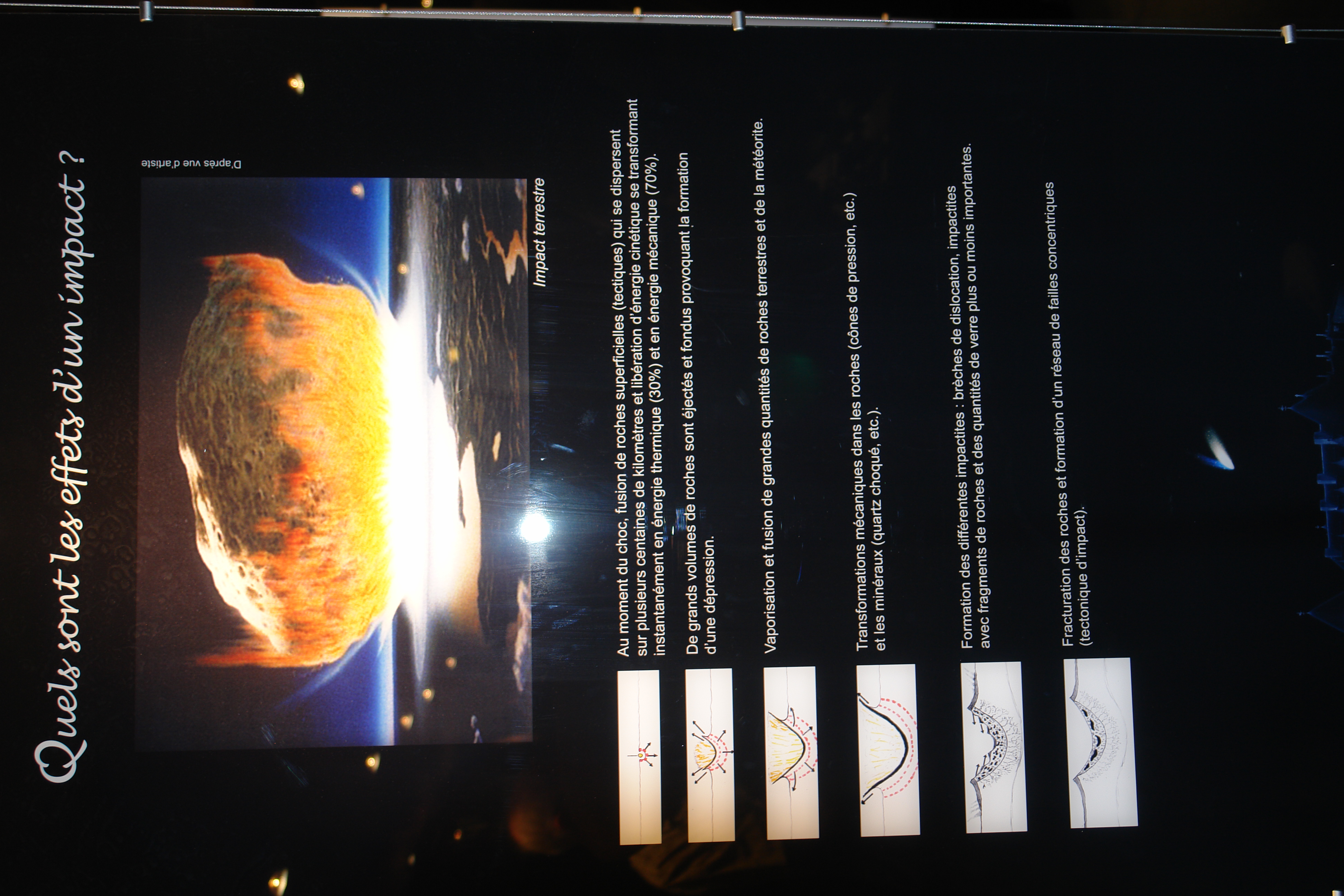
Impactite poster
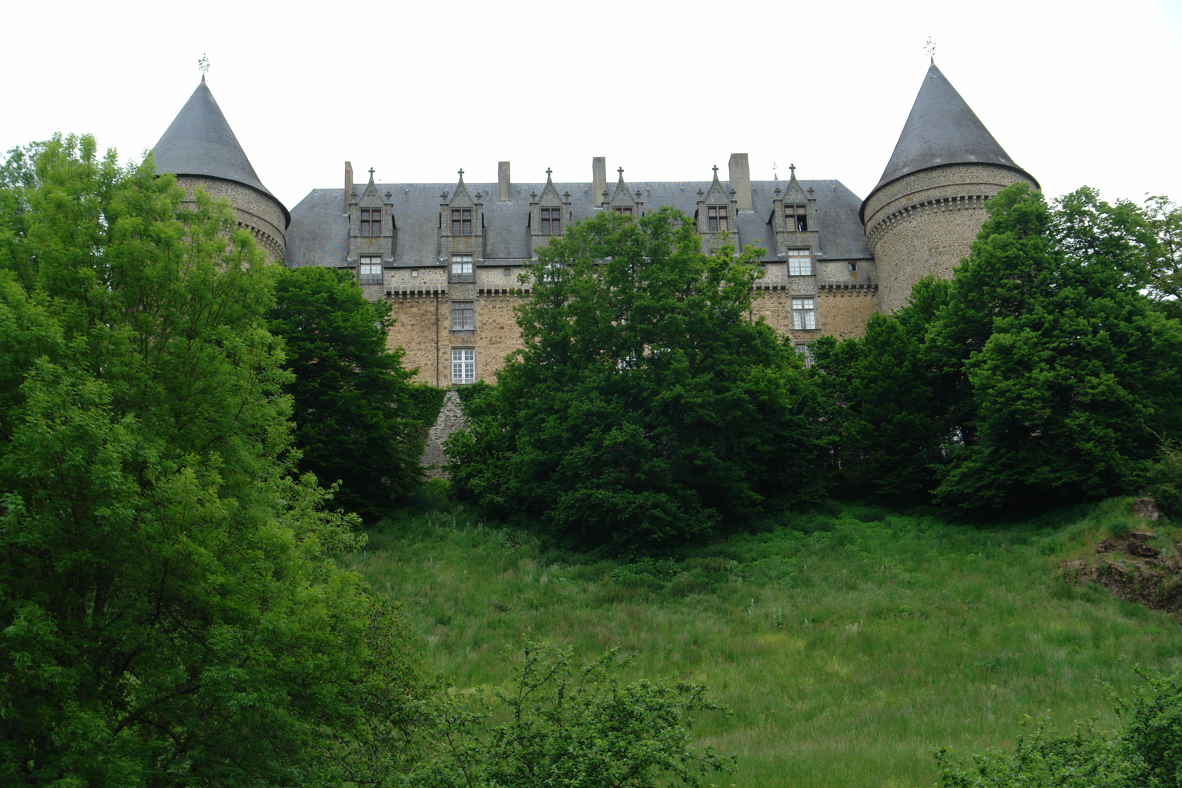
The back of the chateau
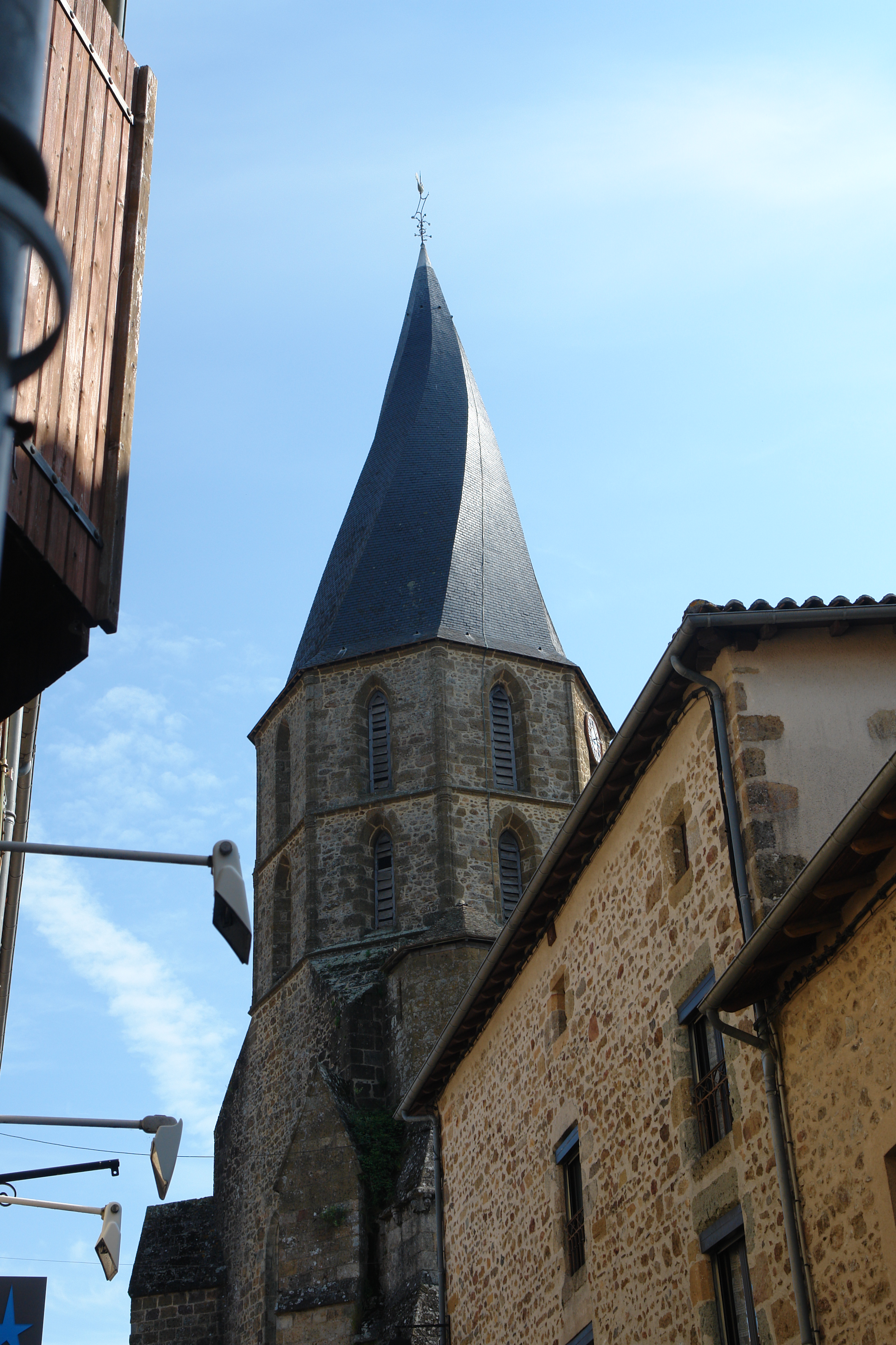
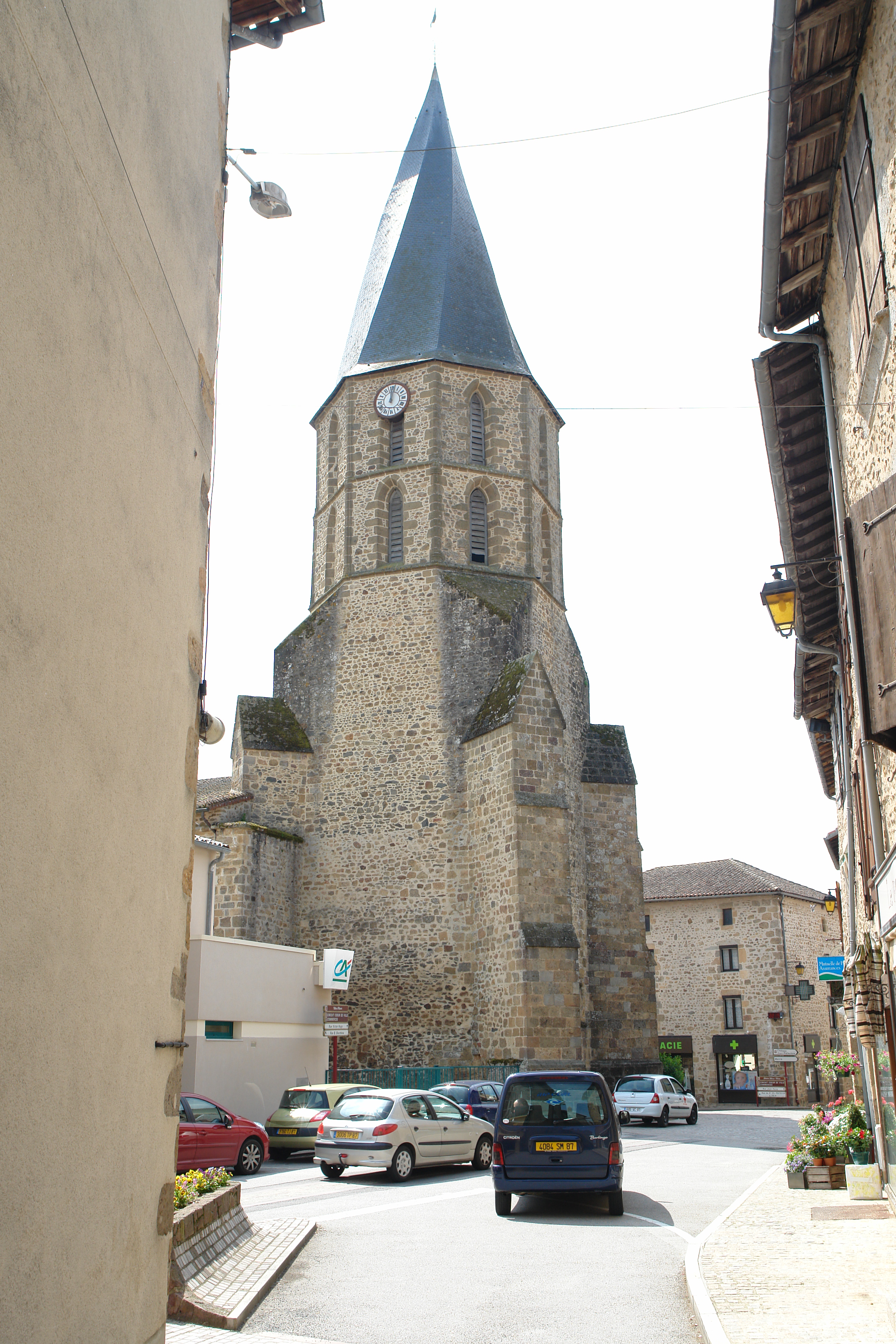
Twisted spire of the church in Rochechouart
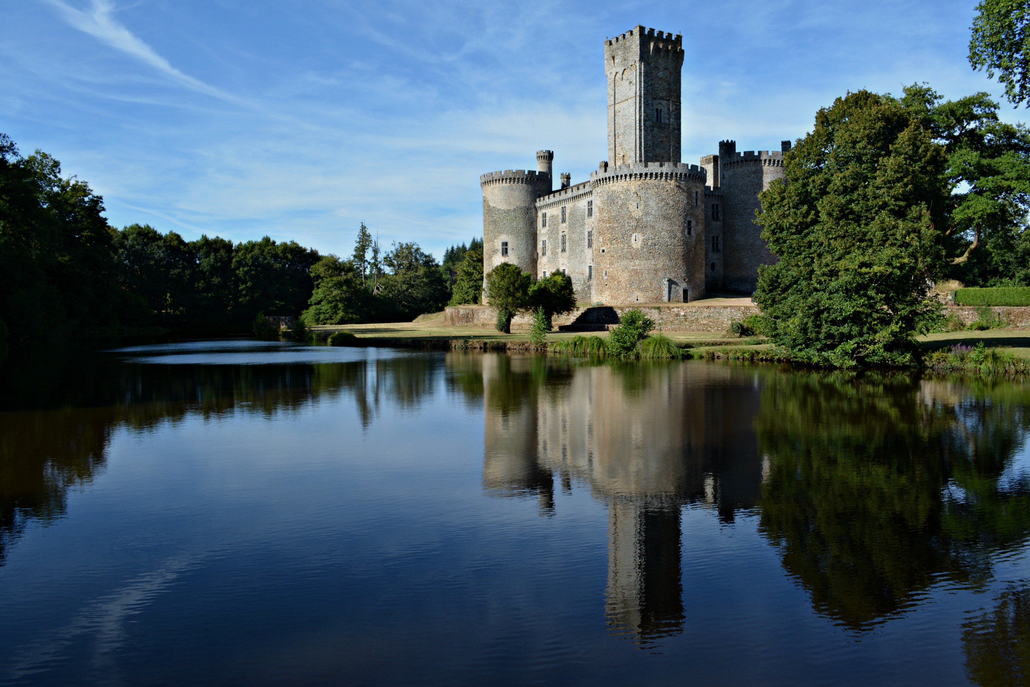
Château de Montbrun
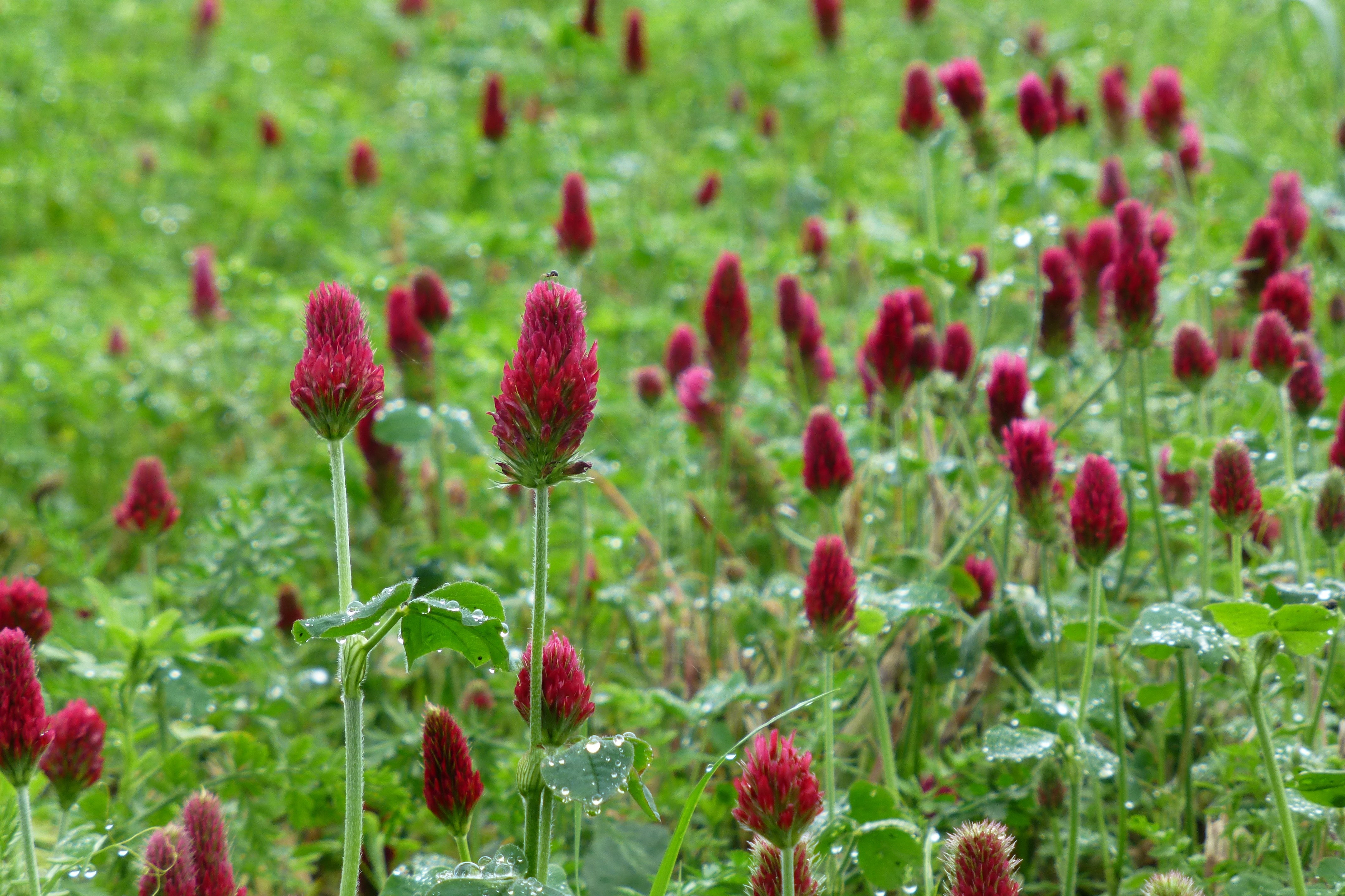
Champs de trèfles
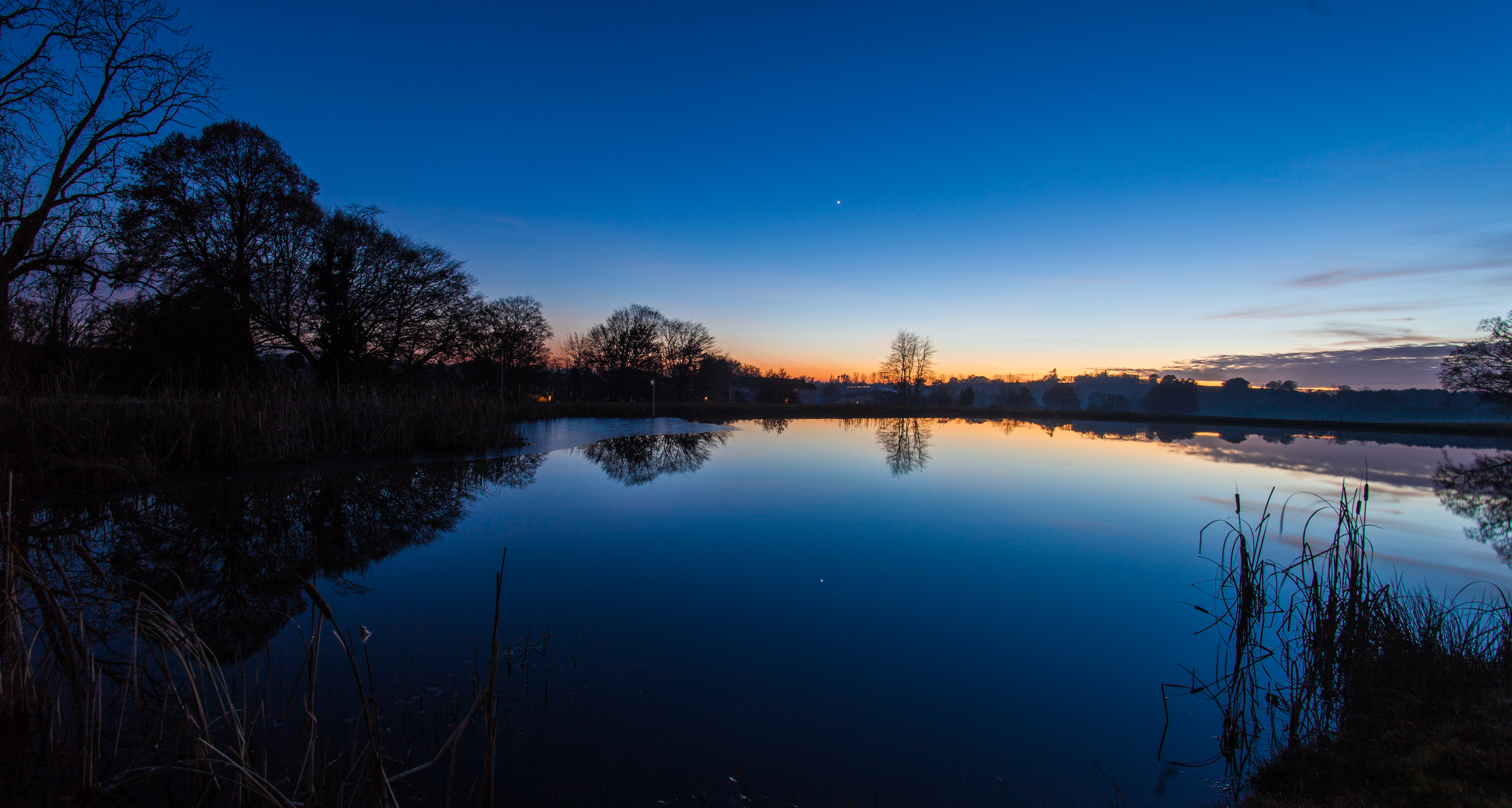
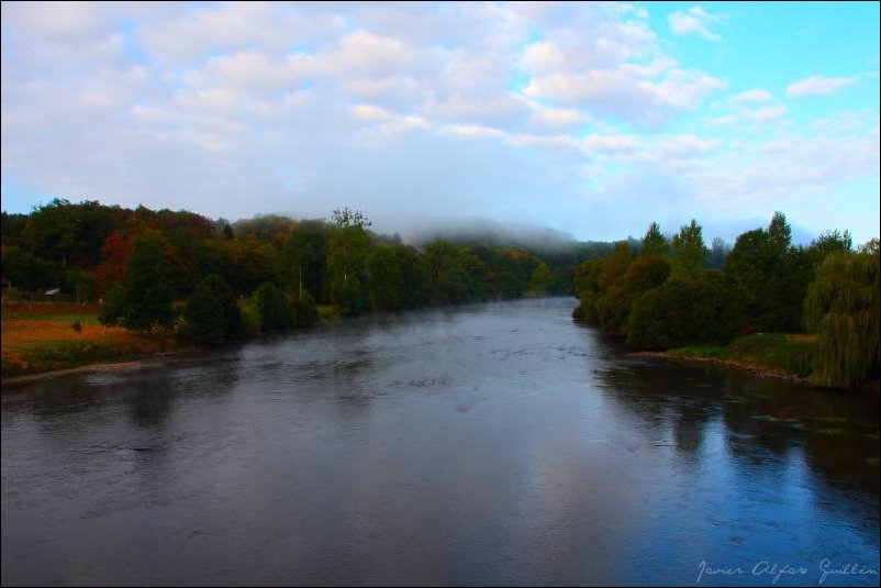
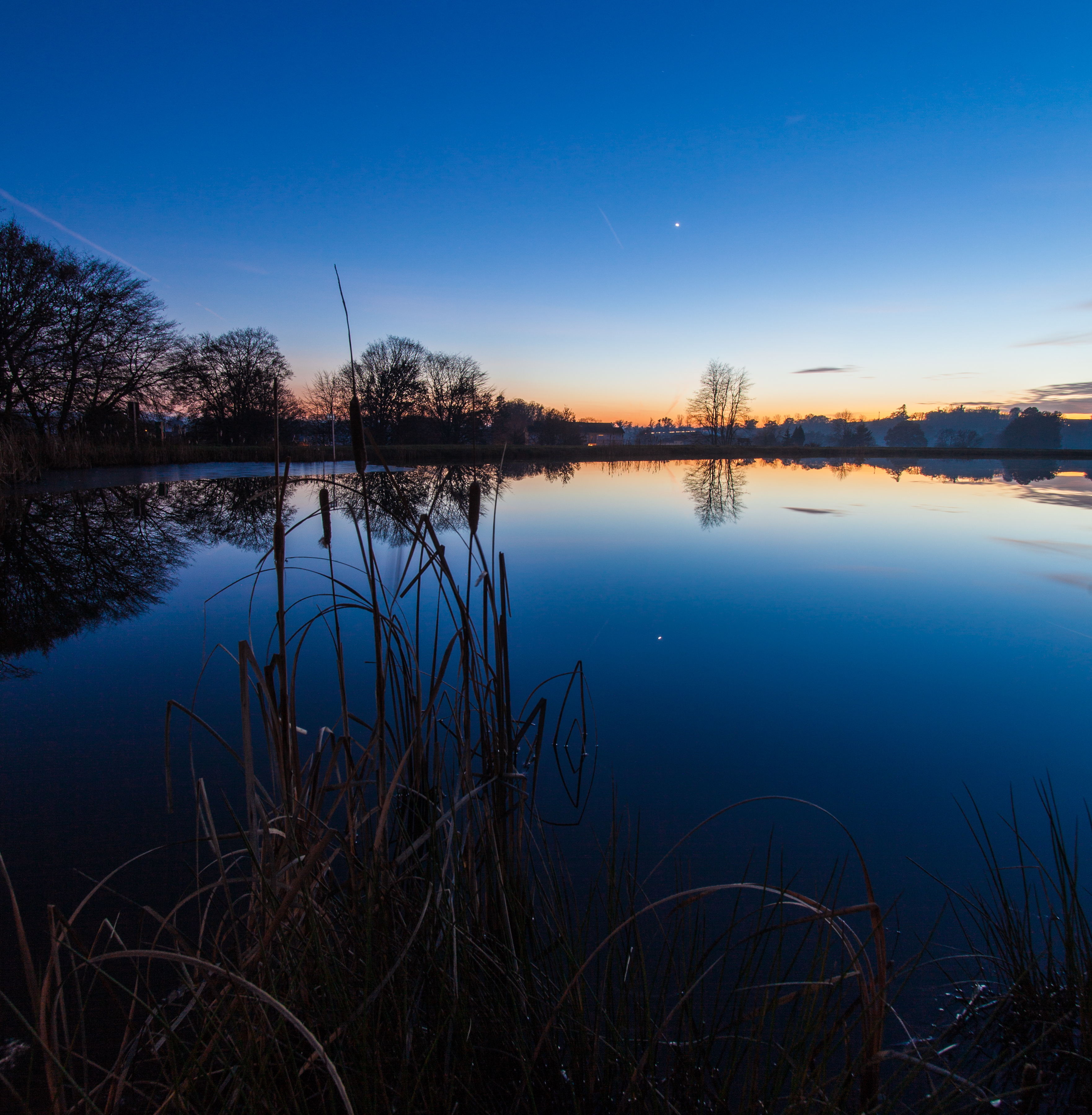
14/12/2013 - Etang de Sereilhac (87)
Cuando la bruma navega

Papillon satyre myrtil.

végétation givrée et toile d'araignée

Chemin des étangs

DSC00038.jpg

Voie Verte, Oradour-sur-Vayres
Parc Gabrielle Sansonnet - St Cyr (87)
Reflet en N&B

Oradour-Sur-Vayres
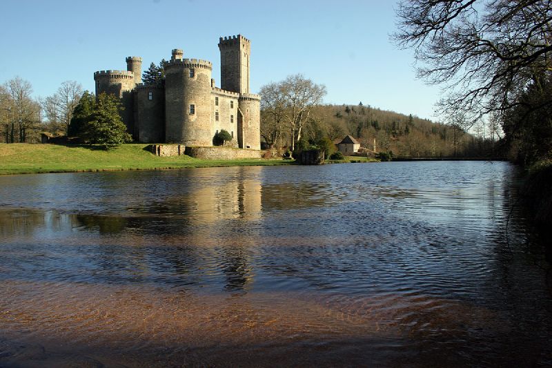
Chateau de Montbrun, Limousin, France
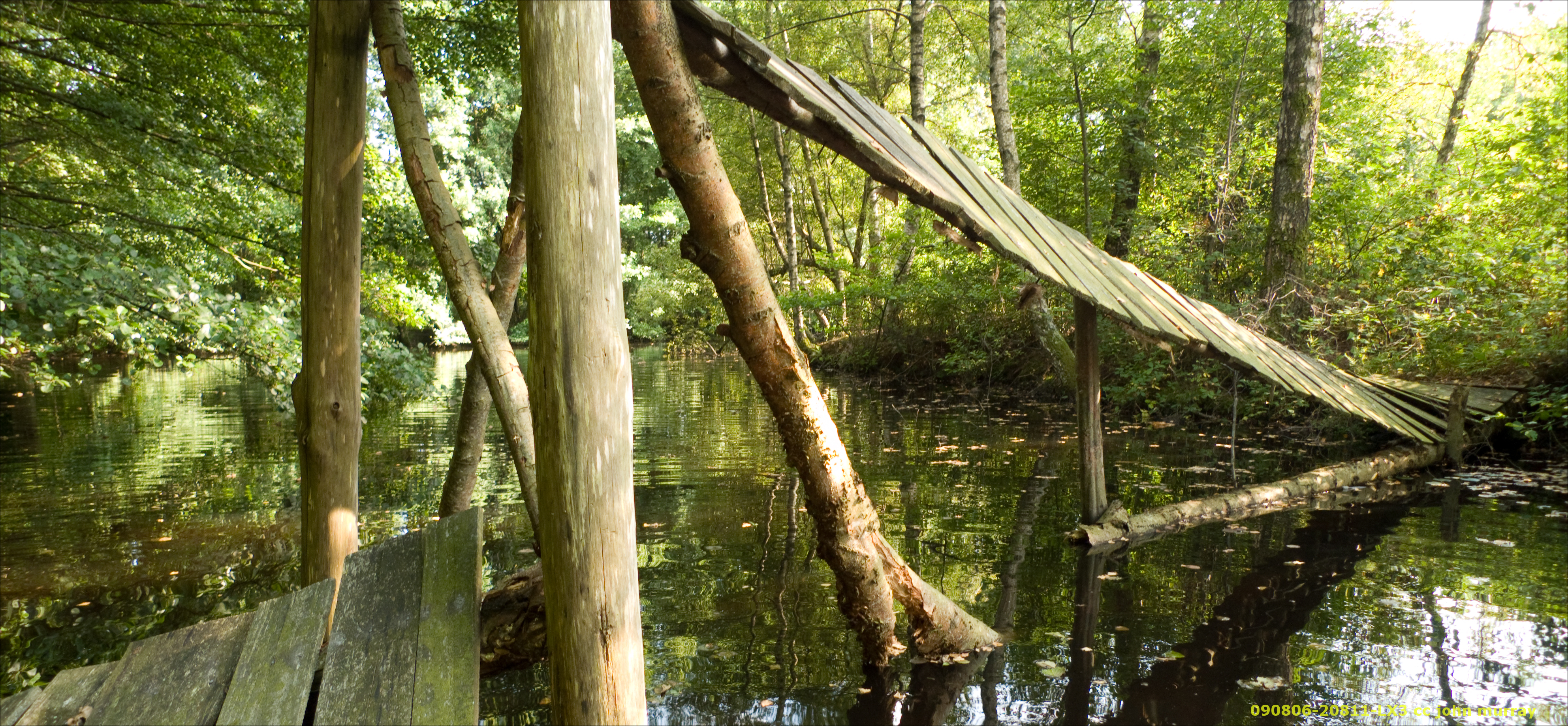
090806-20811-LX3

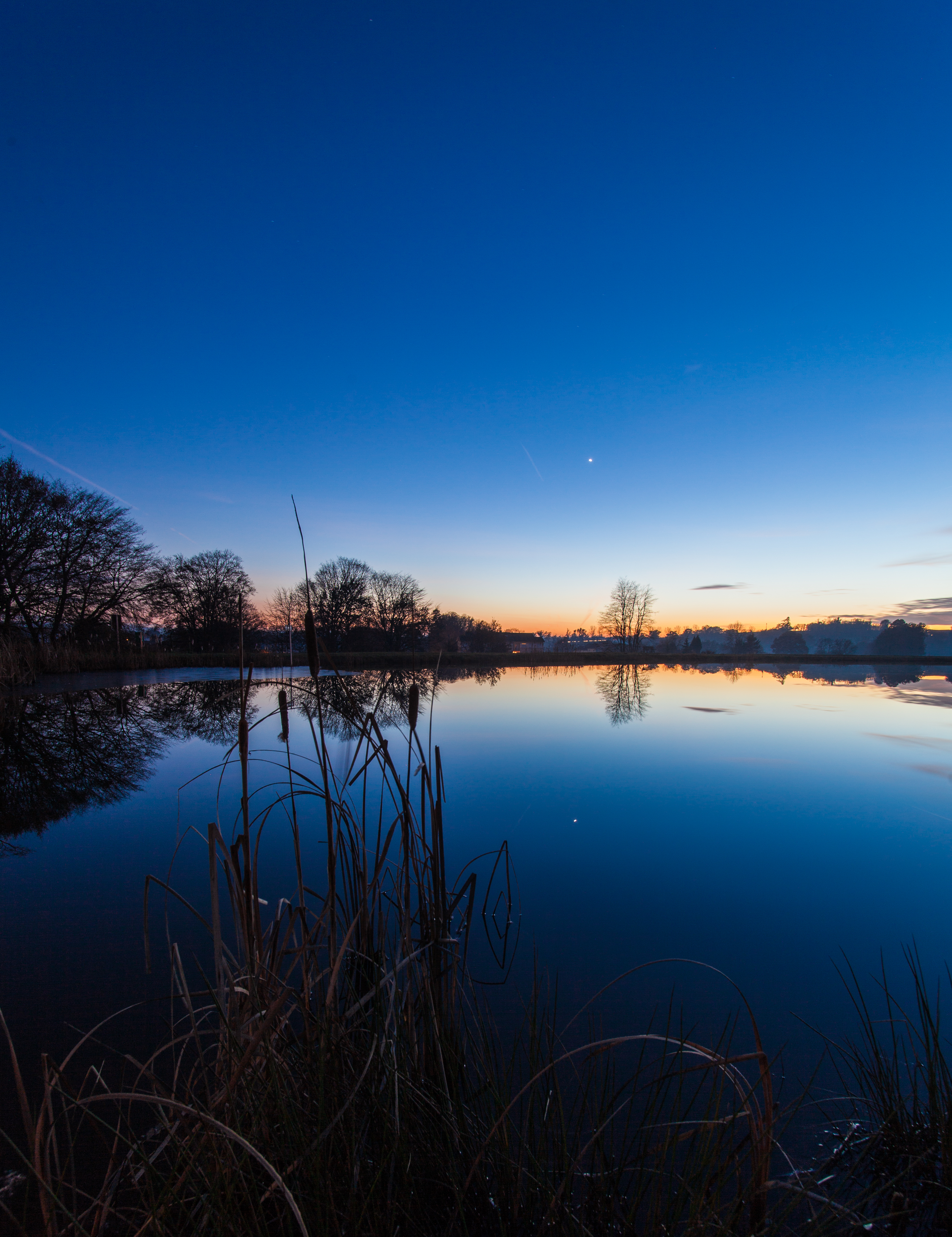
14/12/2013 - Etang de Sereilhac (87)
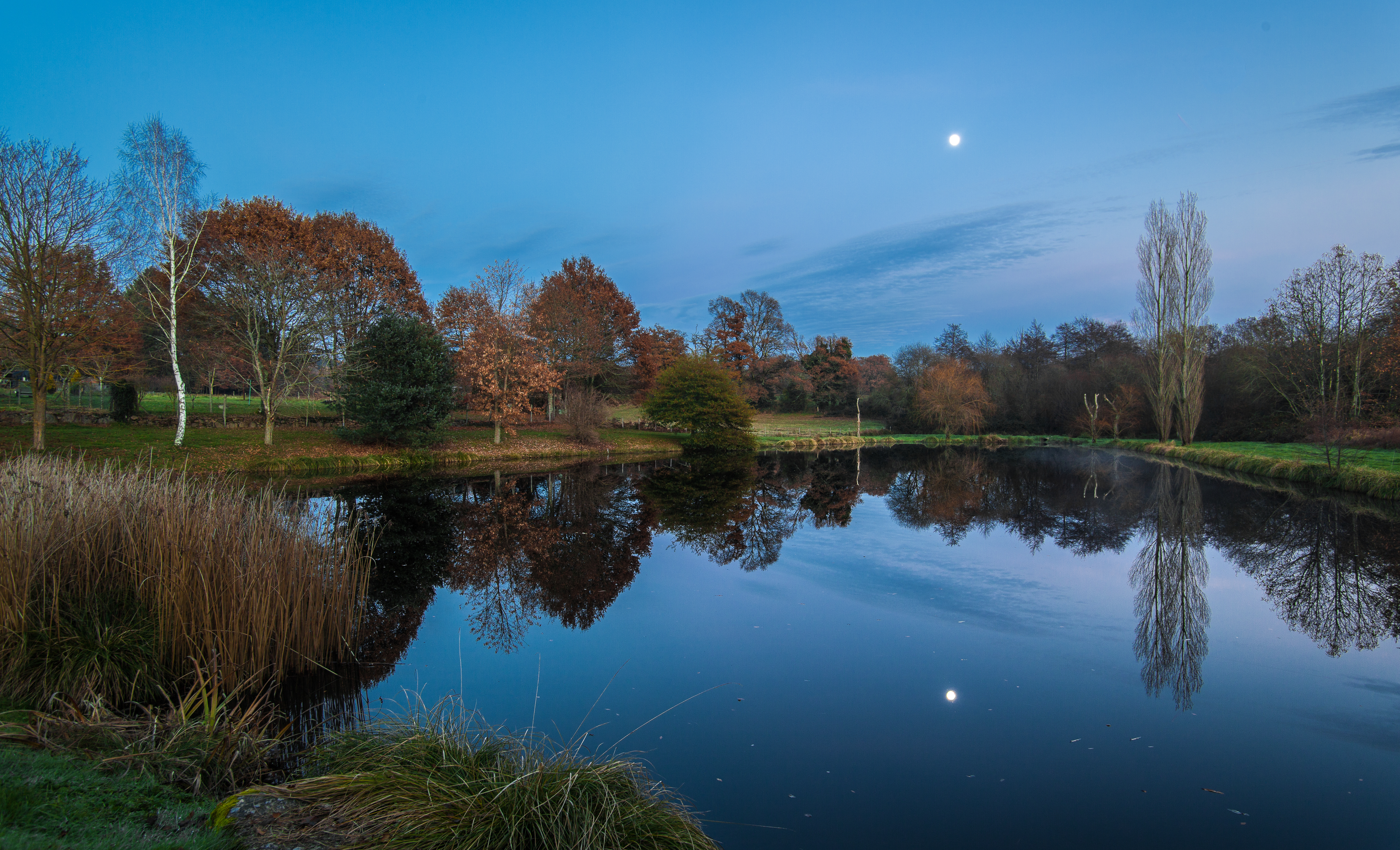
Etang de Sereilhac (87)
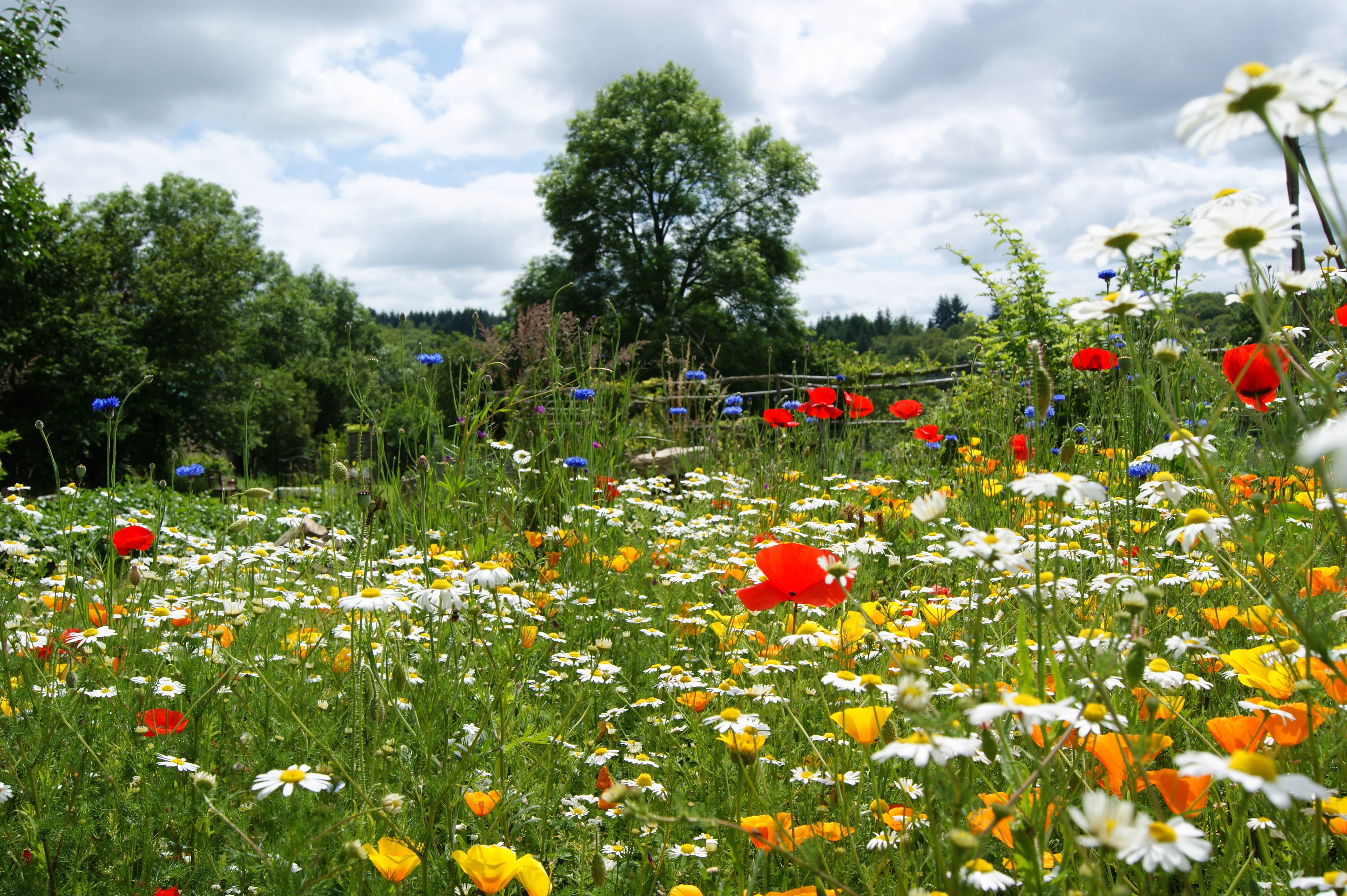
Butterfly meadow
Etang de Sereilhac (87)
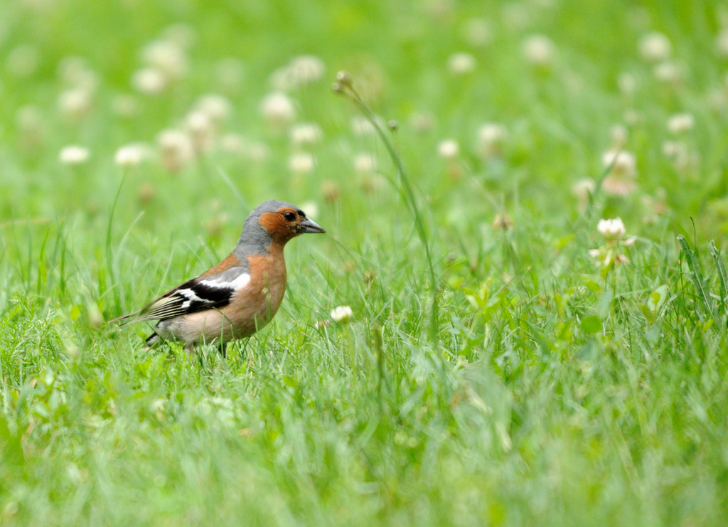
Pinson des arbres

Richard coeur de lion passed here
Topographic Map of 1 La Lande, Saint-Laurent-sur-Gorre, France
Find elevation by address:

Places near 1 La Lande, Saint-Laurent-sur-Gorre, France:
Saint-laurent-sur-gorre
28 La Gare, Champsac, France
Champsac
Oradour-sur-vayres
Cussac
25 Route de Prunieras, Chaillac-sur-Vienne, France
5 Rue de Gaud, Rochechouart, France
23 Rue des Fours a Pain, Cussac, France
Rochechouart
3 Rue Petite Rue de Juillac, Rochechouart, France
Saint-junien
Chaillac-sur-vienne
Rue Châteaubriand
Route de Chez Beaugy, Saint-Junien, France
Aixe-sur-vienne
46 Avenue du Président Wilson, Aixe-sur-Vienne, France
8 Route de la Boilerie, Verneuil-sur-Vienne, France
12 Laplaud, Javerdat, France
Oradour-sur-glane
Verneuil-sur-vienne
Recent Searches:
- Elevation of Elwyn Dr, Roanoke Rapids, NC, USA
- Elevation of Congressional Dr, Stevensville, MD, USA
- Elevation of Bellview Rd, McLean, VA, USA
- Elevation of Stage Island Rd, Chatham, MA, USA
- Elevation of Shibuya Scramble Crossing, 21 Udagawacho, Shibuya City, Tokyo -, Japan
- Elevation of Jadagoniai, Kaunas District Municipality, Lithuania
- Elevation of Pagonija rock, Kranto 7-oji g. 8"N, Kaunas, Lithuania
- Elevation of Co Rd 87, Jamestown, CO, USA
- Elevation of Tenjo, Cundinamarca, Colombia
- Elevation of Côte-des-Neiges, Montreal, QC H4A 3J6, Canada