Elevation of 1 Chome-1-6 Nishikotoshiba, Ube-shi, Yamaguchi-ken -, Japan
Location: Japan > Yamaguchi Prefecture > Ube >
Longitude: 131.252362
Latitude: 33.96028
Elevation: 7m / 23feet
Barometric Pressure: 101KPa
Elevation Map:
Satellite Map:
Related Photos:
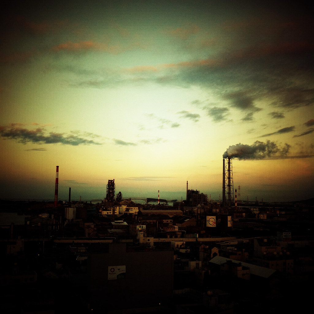
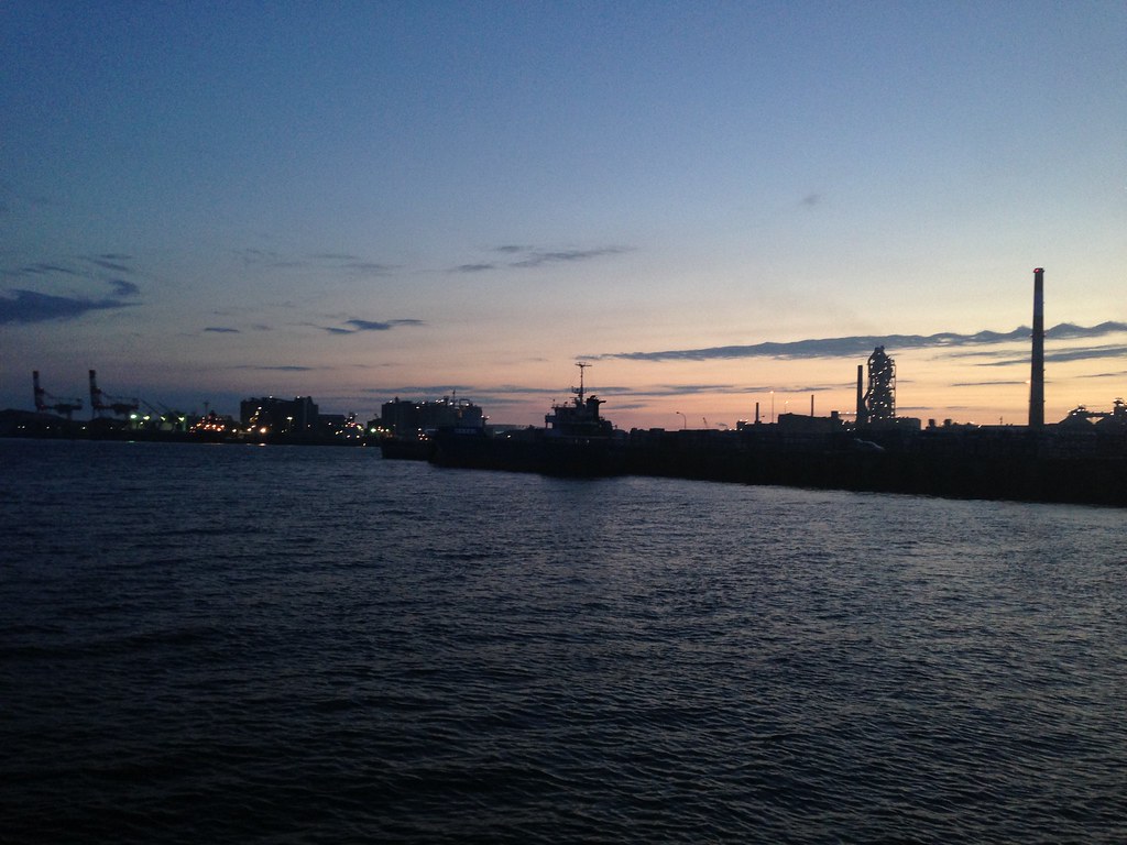
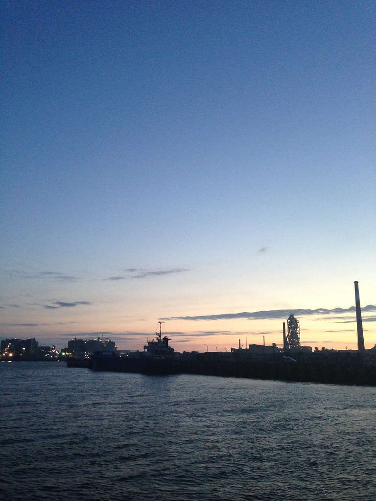
At the end of the day
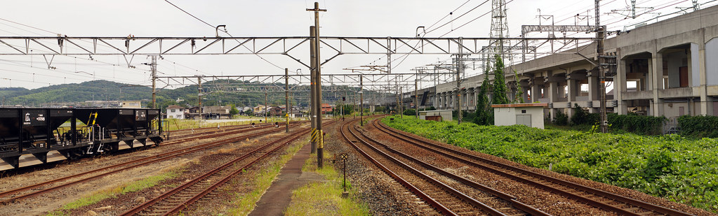
厚狭駅
厚狭駅

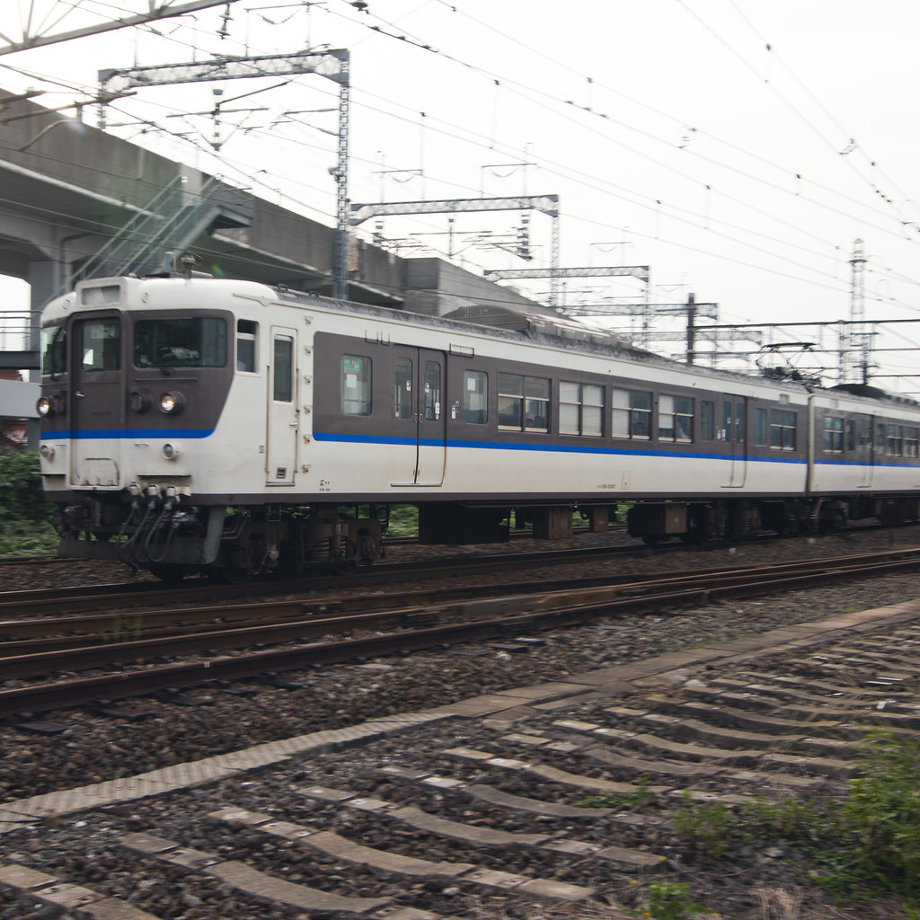
17−15
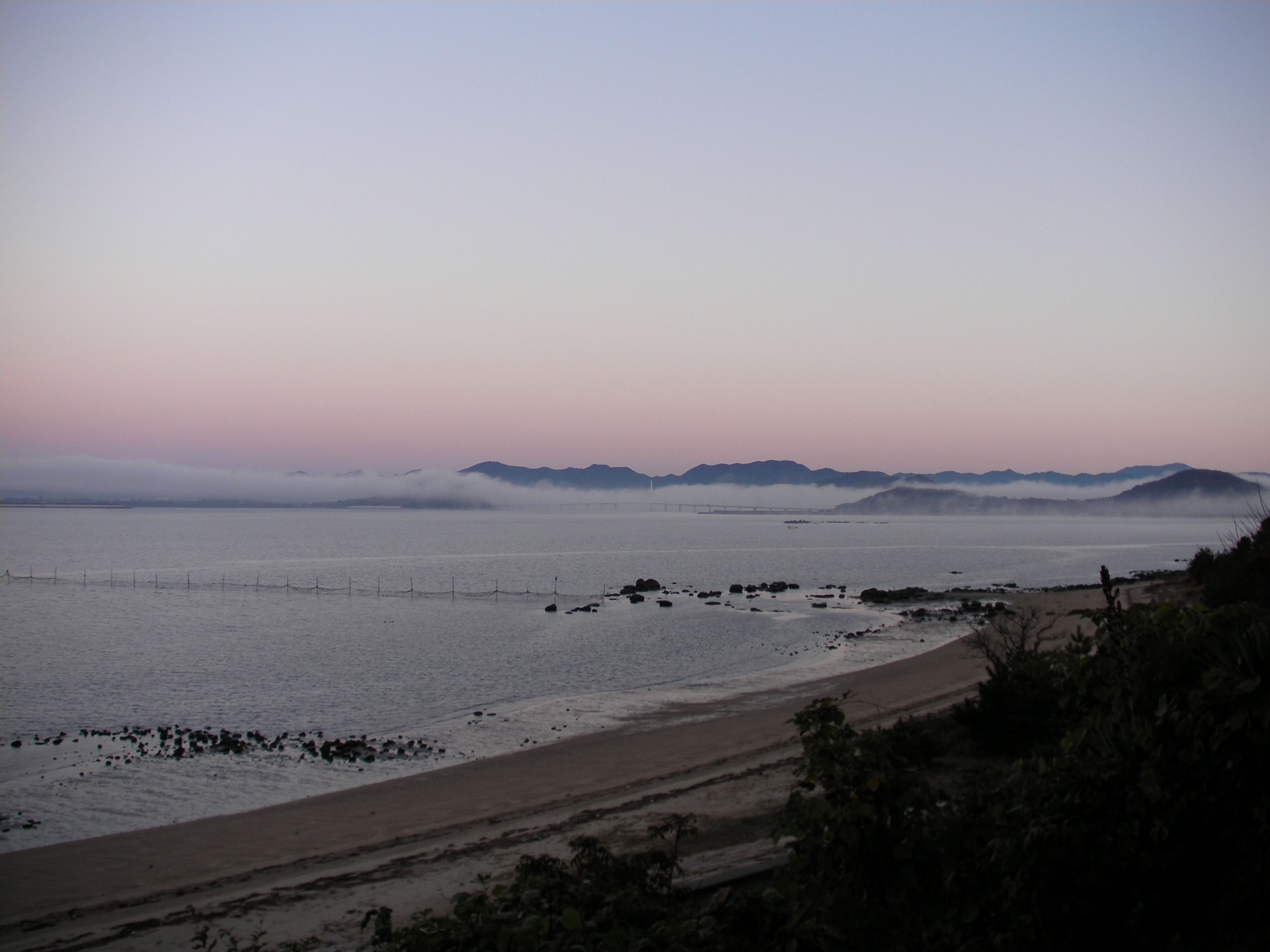
Misty Morning
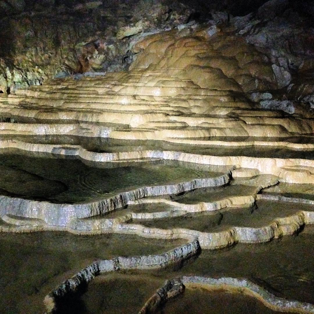
Midnight Reflexions Inside my World Scout Jamboree Tent. Nature program took us to walking in a large cave and hiking up to view the beautiful mountains of Yamaguchi prefecture. B-P method emphasize s outdoors learning as a way to respect, protect and e
2013-06-16 at 19.54.20
2013-06-16 at 19.48.44
2013-06-16 at 19.48.51
2013-06-16 at 19.48.10

2013-10-06 at 17.16.20

2013-06-16 at 19.48.19
2013-06-16 at 19.48.26
Topographic Map of 1 Chome-1-6 Nishikotoshiba, Ube-shi, Yamaguchi-ken -, Japan
Find elevation by address:

Places in 1 Chome-1-6 Nishikotoshiba, Ube-shi, Yamaguchi-ken -, Japan:
Places near 1 Chome-1-6 Nishikotoshiba, Ube-shi, Yamaguchi-ken -, Japan:
メゾンプレジール
Ube
5 Chome-13-13 Tokonami, Ube-shi, Yamaguchi-ken -, Japan
Sanyoonoda
-7 Ajisu, Yamaguchi-shi, Yamaguchi-ken -, Japan
Kōri, Sanyōonoda-shi, Yamaguchi-ken -, Japan
Ajisu, Yamaguchi-shi, Yamaguchi-ken -, Japan
Aiohigashi, Yamaguchi-shi, Yamaguchi-ken -, Japan
Ogōrishimogō, Yamaguchi-shi, Yamaguchi-ken -, Japan
Mine
Ōminechō Higashibun, Mine-shi, Yamaguchi-ken -, Japan
Shiranoe, Moji-ku, Kitakyūshū-shi, Fukuoka-ken -, Japan
Ikawa, Moji-ku, Kitakyūshū-shi, Fukuoka-ken -, Japan
Moji Ward
Yamaguchi
Shimonoseki
Yamaguchi Prefecture
Kikugawachō Ōaza Kiba, Shimonoseki-shi, Yamaguchi-ken -, Japan
Hananocho
Shimonoseki Port
Recent Searches:
- Elevation of Co Rd 87, Jamestown, CO, USA
- Elevation of Tenjo, Cundinamarca, Colombia
- Elevation of Côte-des-Neiges, Montreal, QC H4A 3J6, Canada
- Elevation of Bobcat Dr, Helena, MT, USA
- Elevation of Zu den Ihlowbergen, Althüttendorf, Germany
- Elevation of Badaber, Peshawar, Khyber Pakhtunkhwa, Pakistan
- Elevation of SE Heron Loop, Lincoln City, OR, USA
- Elevation of Slanický ostrov, 01 Námestovo, Slovakia
- Elevation of Spaceport America, Co Rd A, Truth or Consequences, NM, USA
- Elevation of Warwick, RI, USA