Elevation of 1 Chipman Rd, Sandwich, MA, USA
Location: United States > Massachusetts > Barnstable County > Sandwich > Sandwich > East Sandwich >
Longitude: -70.482287
Latitude: 41.7489054
Elevation: 16m / 52feet
Barometric Pressure: 101KPa
Elevation Map:
Satellite Map:
Related Photos:

Goodbye, Summer

Stormy Skies Over the Sandwich Boardwalk"

Cataumet School House 3

Sunday Morning

Hey, Wanna Buy a Duck?

King Eider

Ice on Five Mile Pond

Exploring at Barlow’s Landing

Killing Time

Opposites Attract
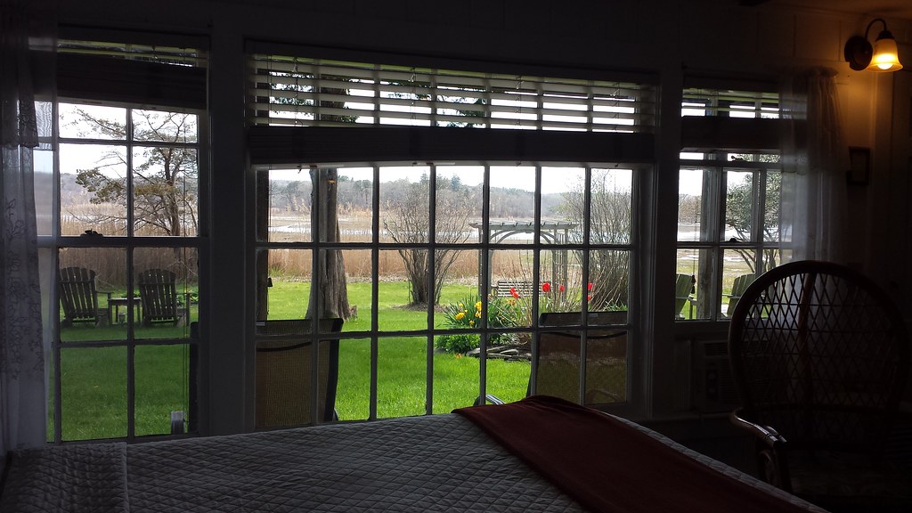
Room with a view.

Dinner Train at Monk's
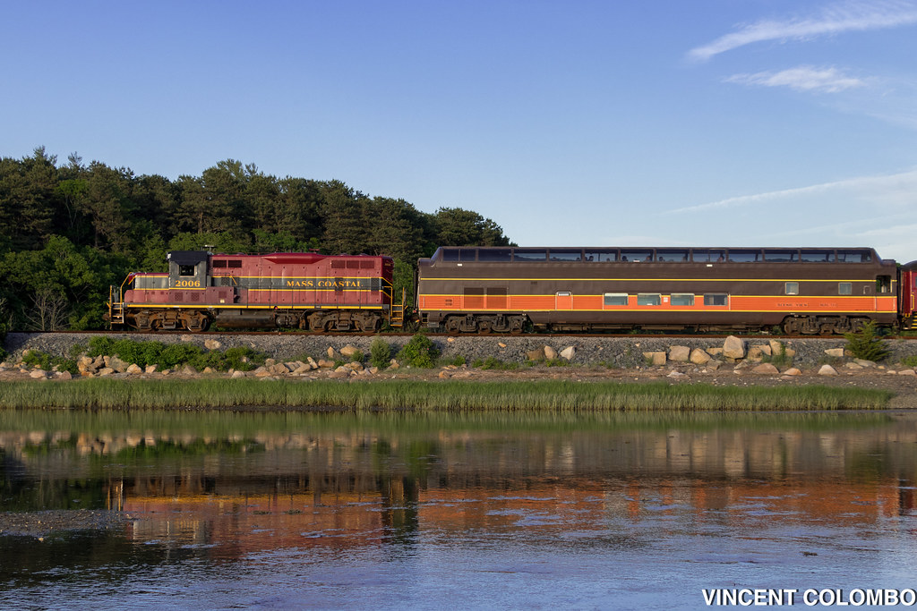
Santa Fe's Cape Cod Subdivision

Monument Beach Re-edit

The View From My...

Milky Way Over Five Mile Pond

Dinner With a View

Painted Bunting

Frozen Falmouth Freight

Fine Dining

A Different View

Absolutely, positively, hands down, no questions asked, one of my favorites of all time

sandy neck

Walk in the woods, Mashpee, Cape Cod

Star-Traily Night

Walk to the Beach

Sandy Neck

Sunset; Shoestring Bay, Cotuit, Cape Cod, MA, USA

Scusset Beach Sunset

Ice Flows on the Canal

Sandyneck Morning

Red Light
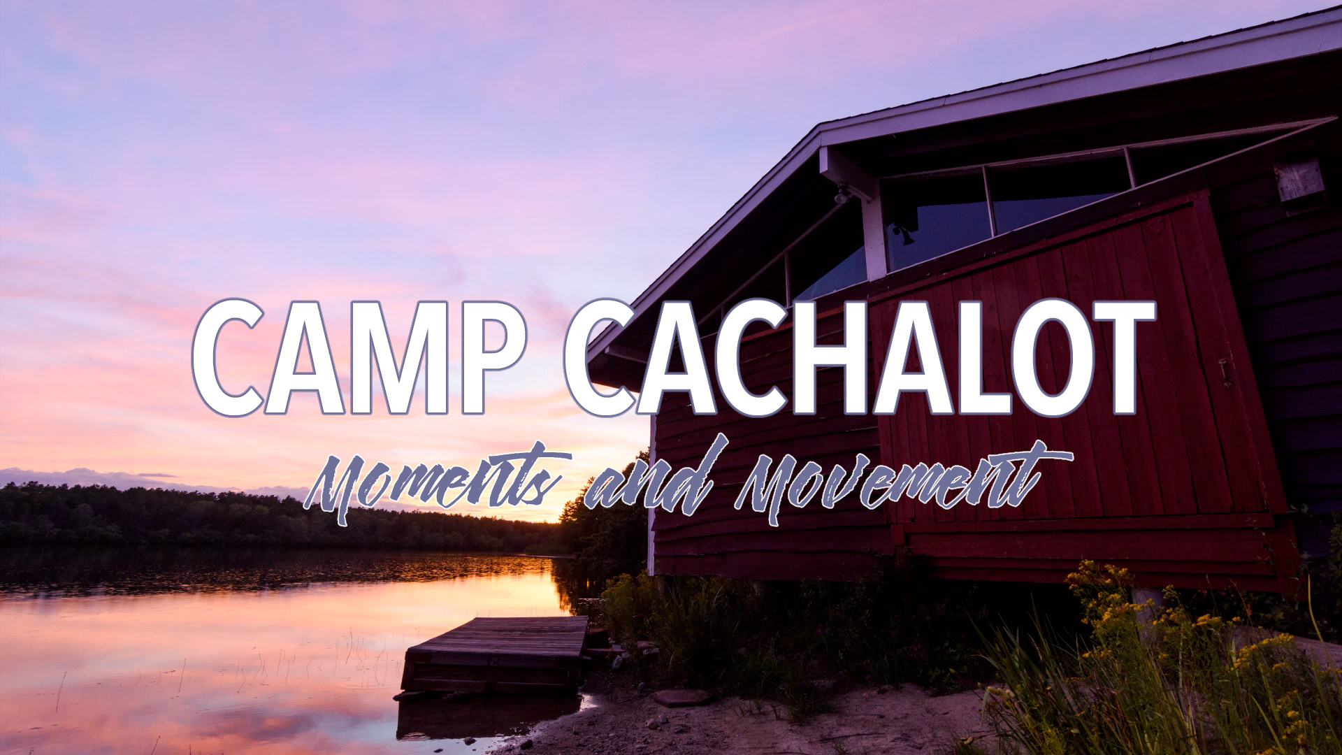
Camp Cachalot: Moments and Movement

Need A Northbound

Sunset from Scusset Beach Jetty

Red X

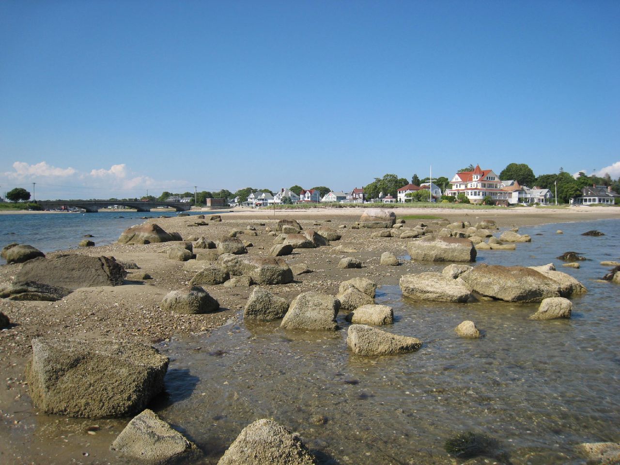
Kingman yacht center

Scusset Beach Jetty

Crossed Off
Onset, MA
Topographic Map of 1 Chipman Rd, Sandwich, MA, USA
Find elevation by address:

Places near 1 Chipman Rd, Sandwich, MA, USA:
Old King's Hwy, East Sandwich, MA, USA
184 Ma-6a
34 Chipman Rd
39 Gully Ln
38 Chipman Rd
Christopher Hollow Road
6 Cherry Mews
16 Great Island Rd
Sandwich Pizza House
7 Overlook Dr
Beale Avenue
13 Liberty St
Sandwich
Sandwich
9 State St
11 State St
11 Willow St
7 Juniper Hill Rd
68 Spring Hill Rd
17 Grove St
Recent Searches:
- Elevation of Luther Road, Luther Rd, Auburn, CA, USA
- Elevation of Unnamed Road, Respublika Severnaya Osetiya — Alaniya, Russia
- Elevation of Verkhny Fiagdon, North Ossetia–Alania Republic, Russia
- Elevation of F. Viola Hiway, San Rafael, Bulacan, Philippines
- Elevation of Herbage Dr, Gulfport, MS, USA
- Elevation of Lilac Cir, Haldimand, ON N3W 2G9, Canada
- Elevation of Harrod Branch Road, Harrod Branch Rd, Kentucky, USA
- Elevation of Wyndham Grand Barbados Sam Lords Castle All Inclusive Resort, End of Belair Road, Long Bay, Bridgetown Barbados
- Elevation of Iga Trl, Maggie Valley, NC, USA
- Elevation of N Co Rd 31D, Loveland, CO, USA