Elevation of 1 Chemin des Roses, Cormenon, France
Location: France > Centre > Loir-et-cher > Cormenon >
Longitude: 0.8922465
Latitude: 47.9709756
Elevation: 109m / 358feet
Barometric Pressure: 100KPa
Elevation Map:
Satellite Map:
Related Photos:

Vallée sous la neige
091216-60116-LX3

temps orageux au Chateau de la Barre
Parc du Château de la Barre au lever du soleil
Orage au Chateau de la Barre
Panorama du Chateau de la Barre
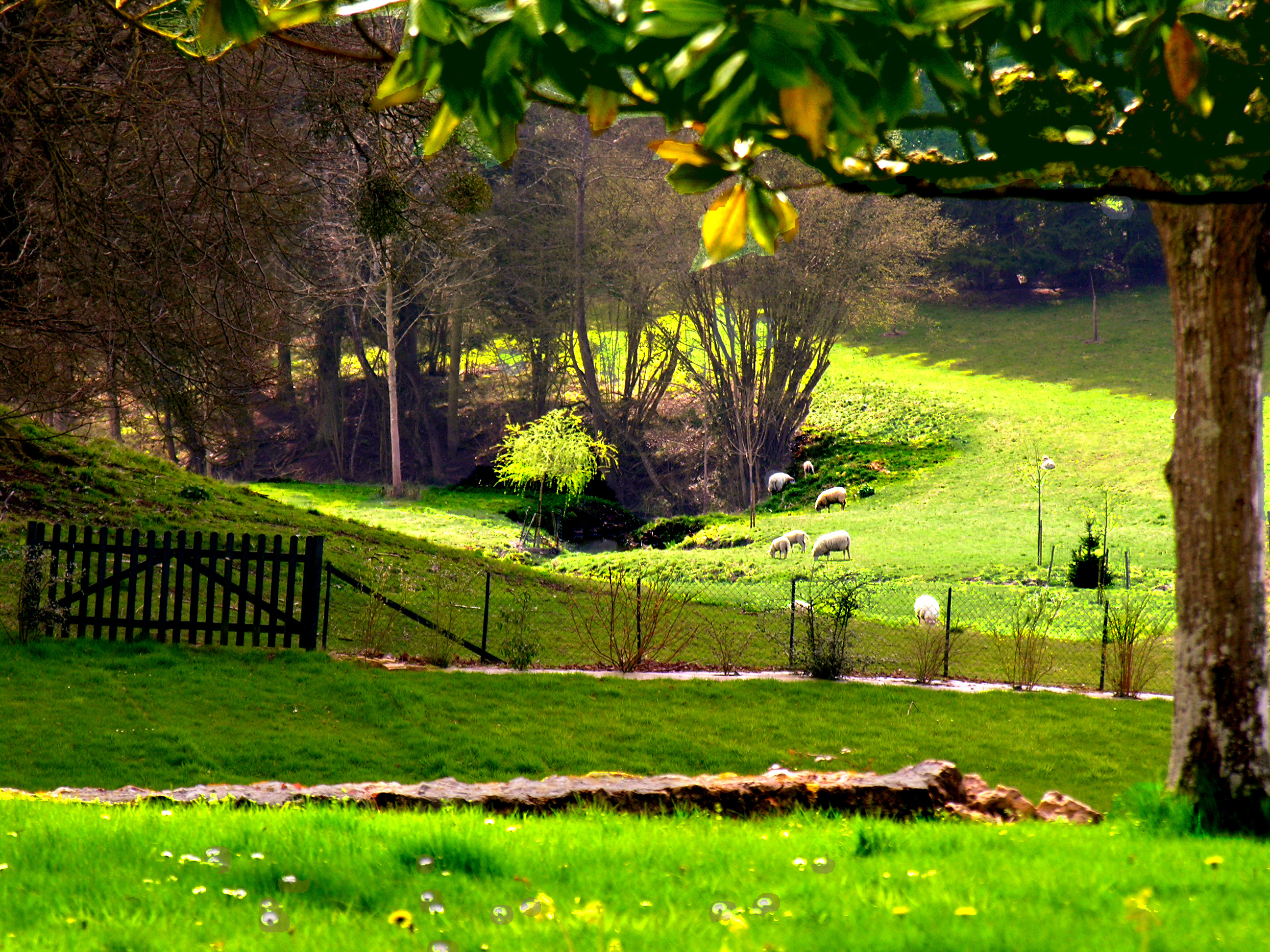
Vallée au Chateau de la Barre
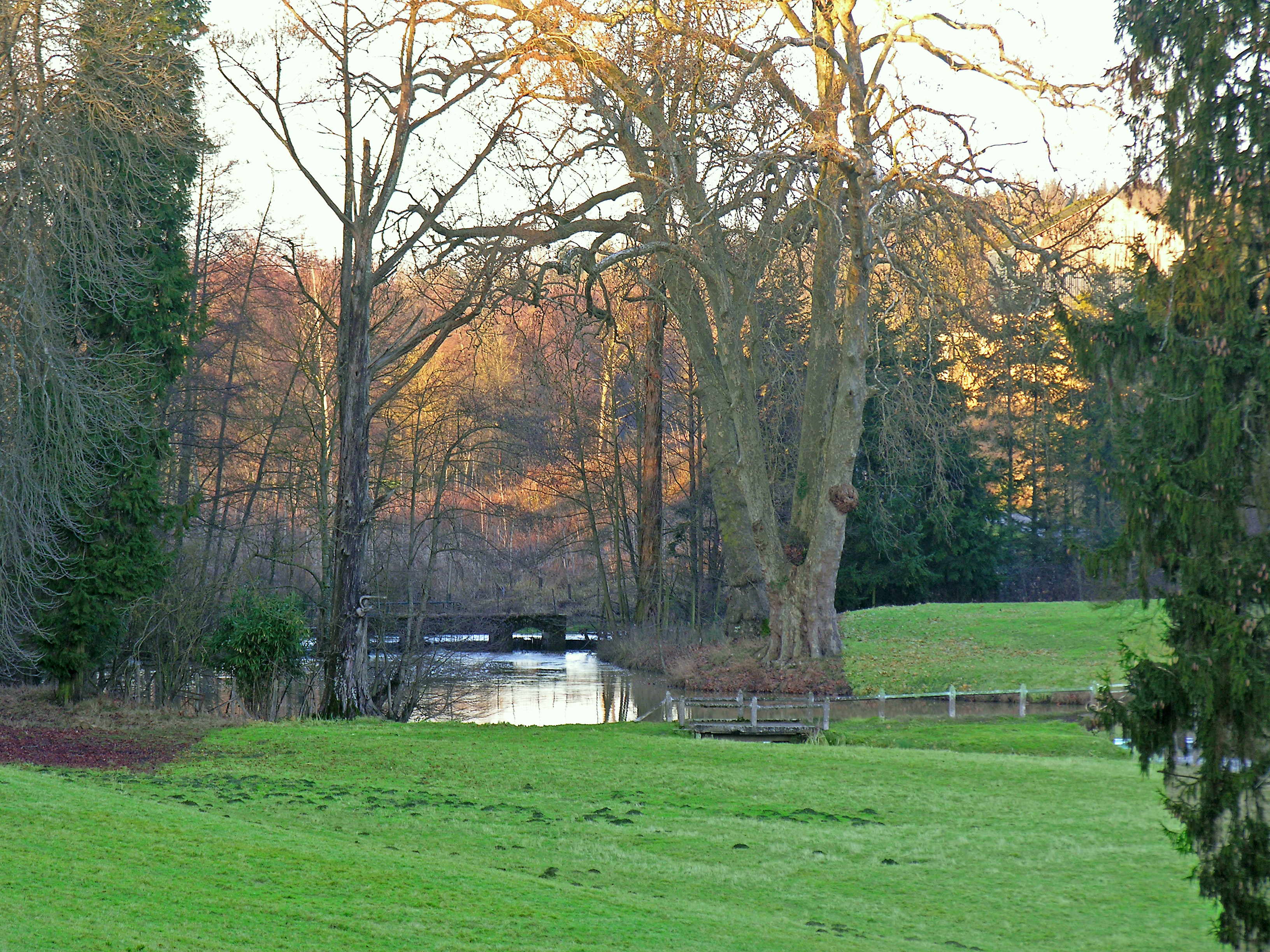
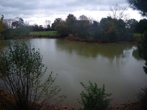
pièce d eau dans le Parc du Chateau de la Barre

Rahay (Sarthe)
Ursa Major
IMGP0010.JPG

/.>

The Mark
La lisière et la vallée
IMGP0013.JPG
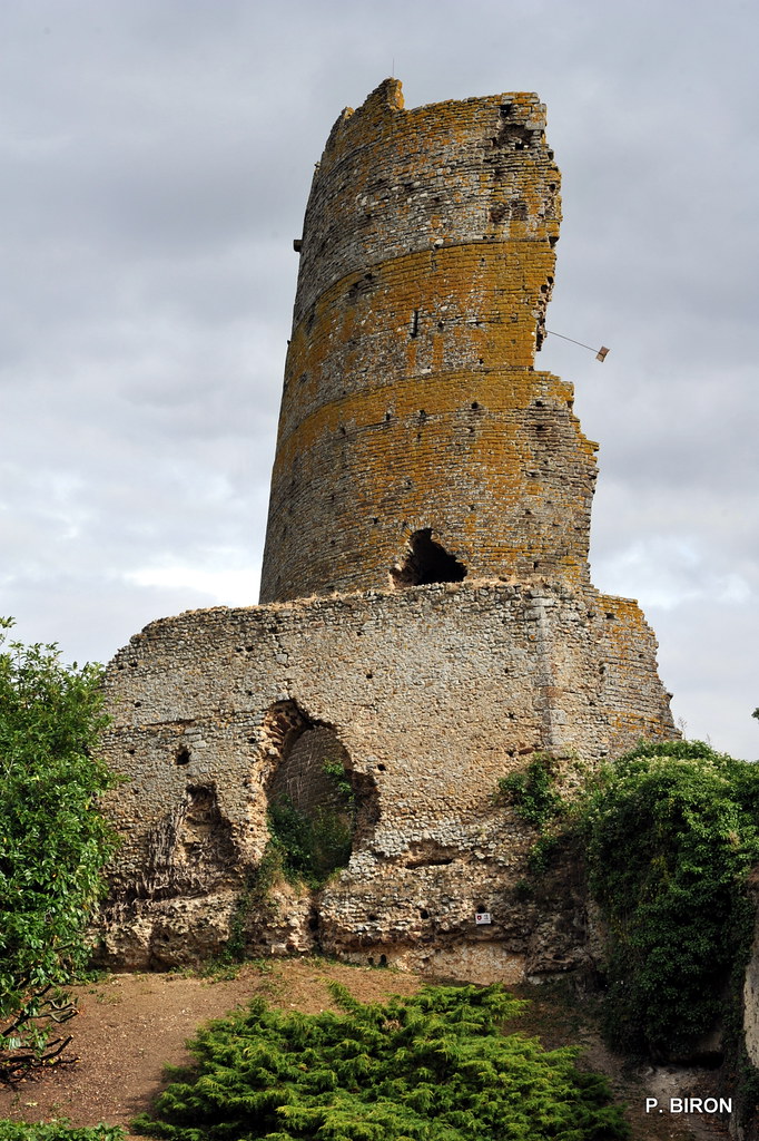
Donjon du Château de Mondoubleau - Loir-et-Cher
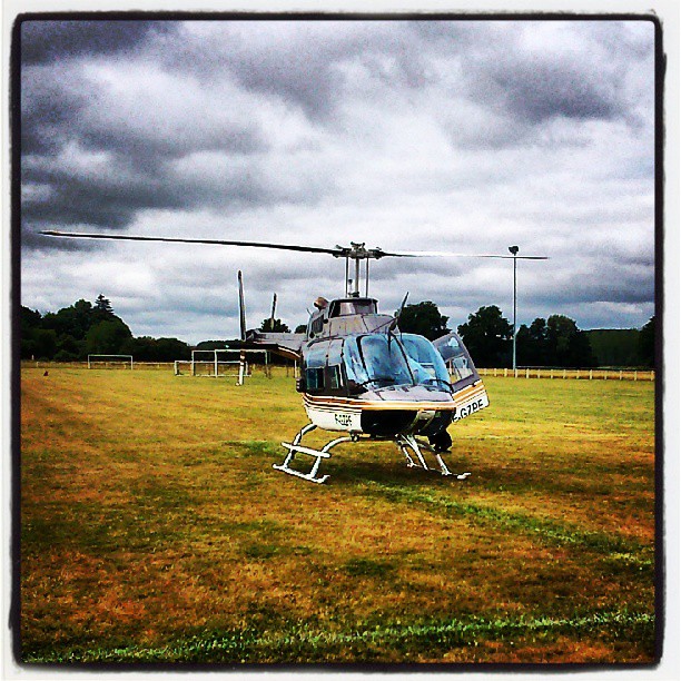
Balade sportive en helico
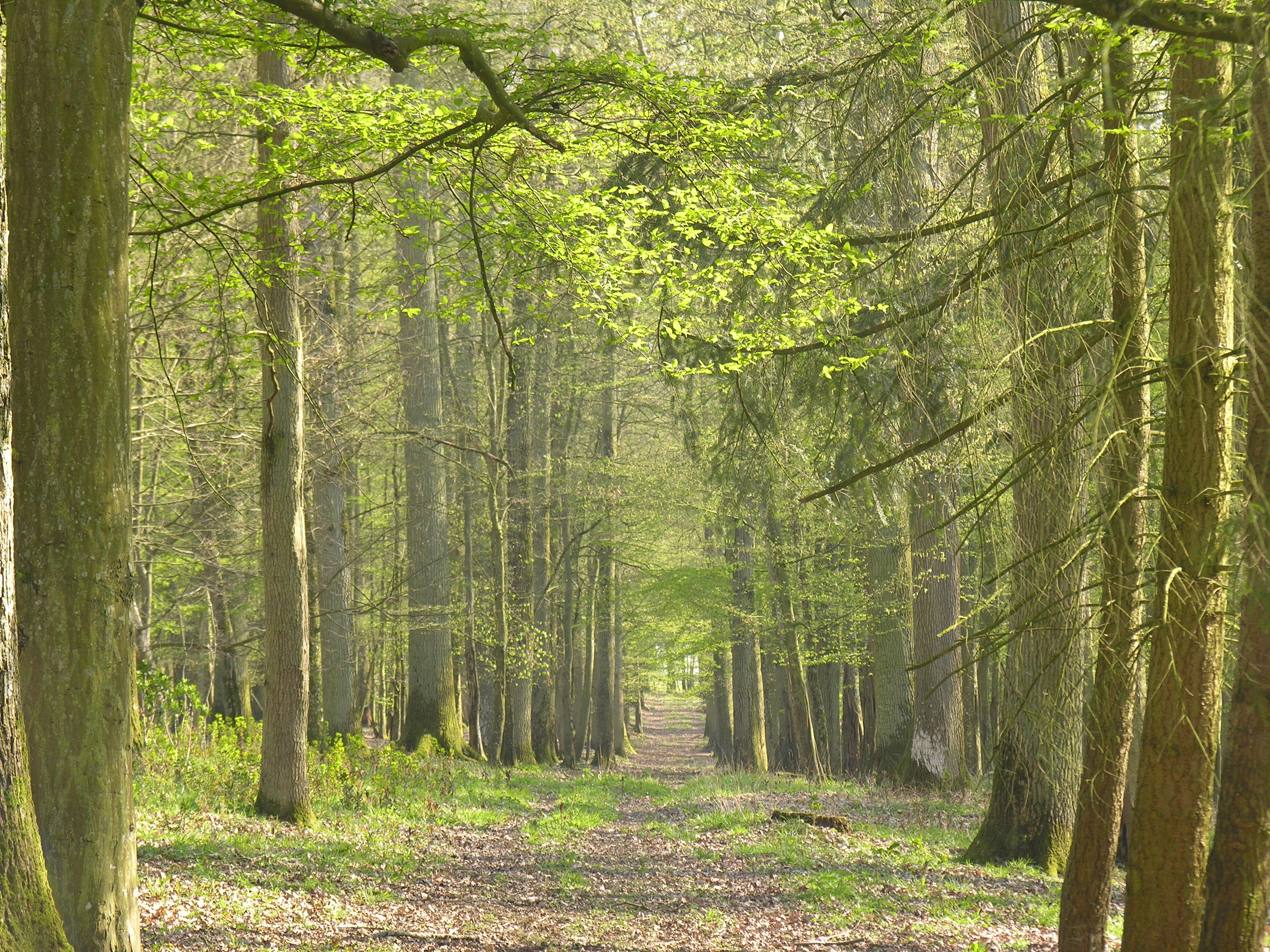
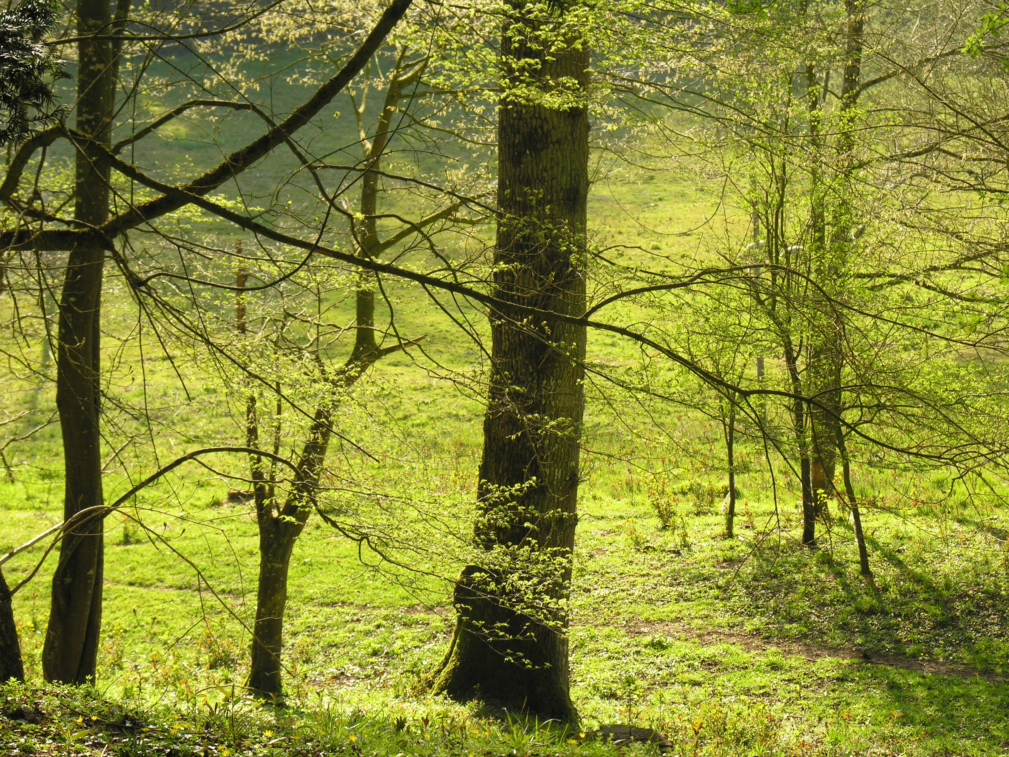
allée forestière au printemps
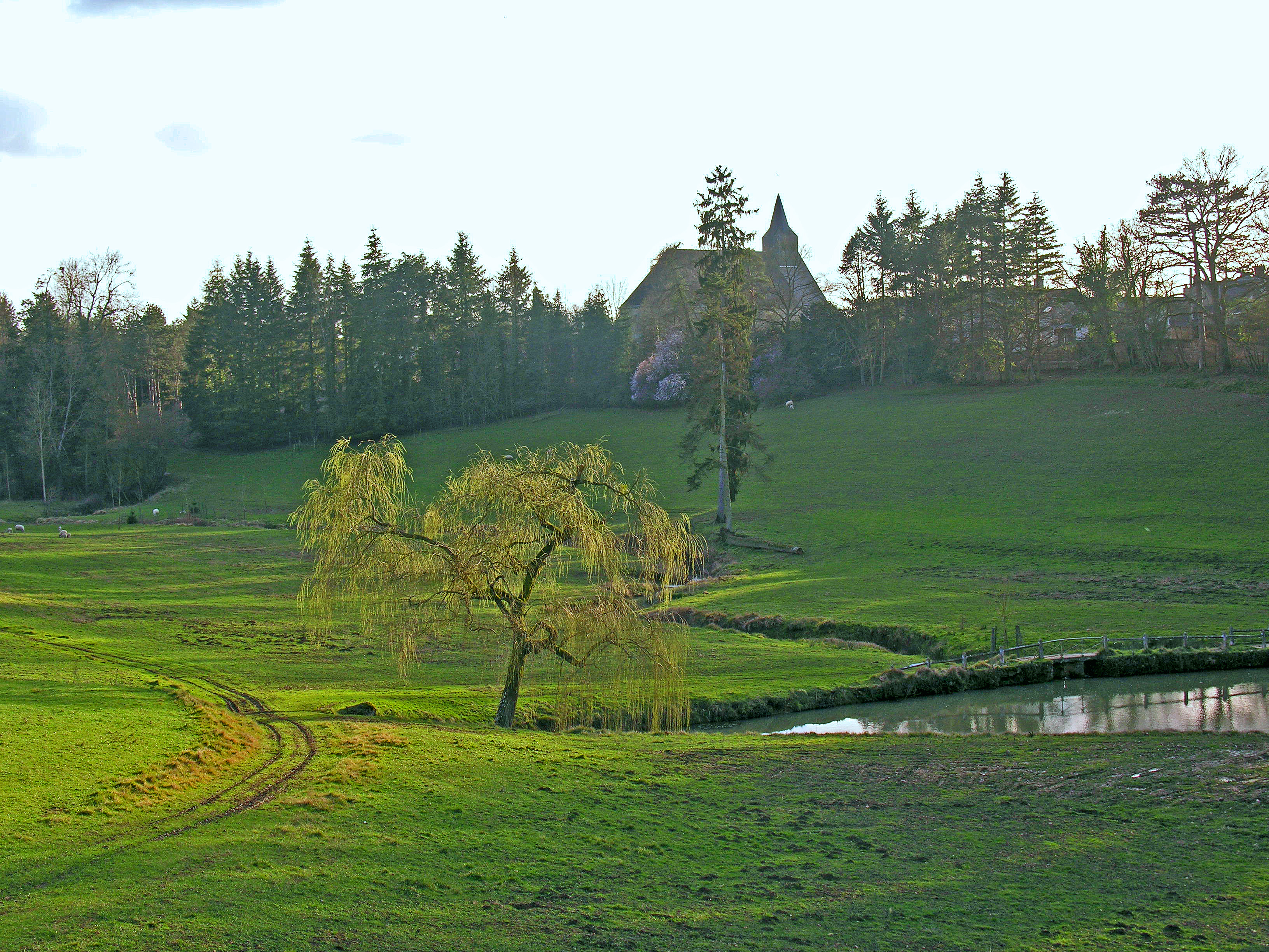
vallée du Chateau de la Barre
IMGP0020.JPG
IMGP0018.JPG

Rahay (Sarthe)
IMGP0017.JPG
Topographic Map of 1 Chemin des Roses, Cormenon, France
Find elevation by address:

Places near 1 Chemin des Roses, Cormenon, France:
Cormenon
5 Rue de la Canardière, Savigny-sur-Braye, France
Savigny-sur-braye
3 Route d'Orléans, Danzé, France
Danzé
Rue Emile Zola, Bessé-sur-Braye, France
Bessé-sur-braye
2 Pl. de Leglise, Théligny, France
Théligny
15 Rue des Bleuets, Saint-Firmin-des-Prés, France
1 Rue de Bellevue, Lamnay, France
Lamnay
11 Hameau du Volimbert, Busloup, France
Busloup
Saint-firmin-des-prés
13 Rue de la Chapelle, Saint-Maixent, France
Saint-maixent
Les Étilleux
29 Rue Principale, Les Étilleux, France
Unverre
Recent Searches:
- Elevation of Elwyn Dr, Roanoke Rapids, NC, USA
- Elevation of Congressional Dr, Stevensville, MD, USA
- Elevation of Bellview Rd, McLean, VA, USA
- Elevation of Stage Island Rd, Chatham, MA, USA
- Elevation of Shibuya Scramble Crossing, 21 Udagawacho, Shibuya City, Tokyo -, Japan
- Elevation of Jadagoniai, Kaunas District Municipality, Lithuania
- Elevation of Pagonija rock, Kranto 7-oji g. 8"N, Kaunas, Lithuania
- Elevation of Co Rd 87, Jamestown, CO, USA
- Elevation of Tenjo, Cundinamarca, Colombia
- Elevation of Côte-des-Neiges, Montreal, QC H4A 3J6, Canada