Elevation of 19 Mitchell St, Kyneton VIC, Australia
Location: Australia > Victoria > Macedon Ranges Shire > Kyneton >
Longitude: 144.450990
Latitude: -37.243453
Elevation: 510m / 1673feet
Barometric Pressure: 95KPa
Elevation Map:
Satellite Map:
Related Photos:
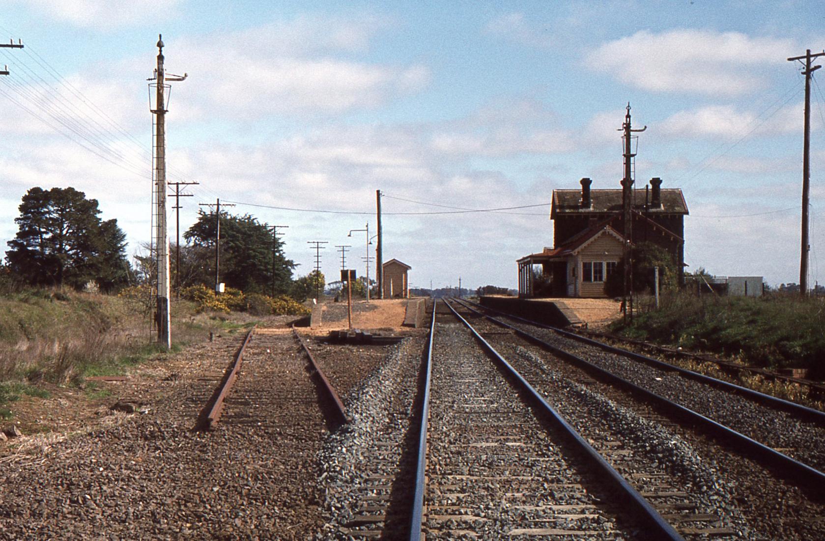
Carlsruhe station in 1981.
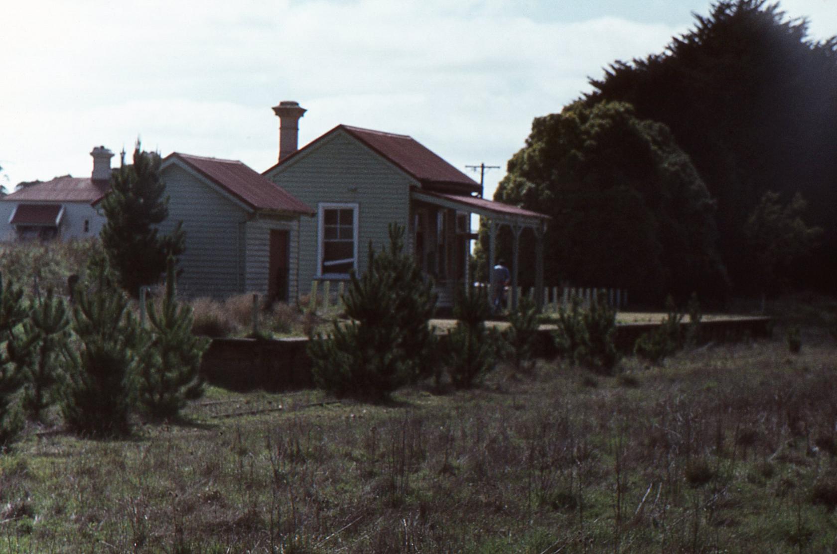
Fern Hill station.

Exploring Hanging Rock Reserve - Australia
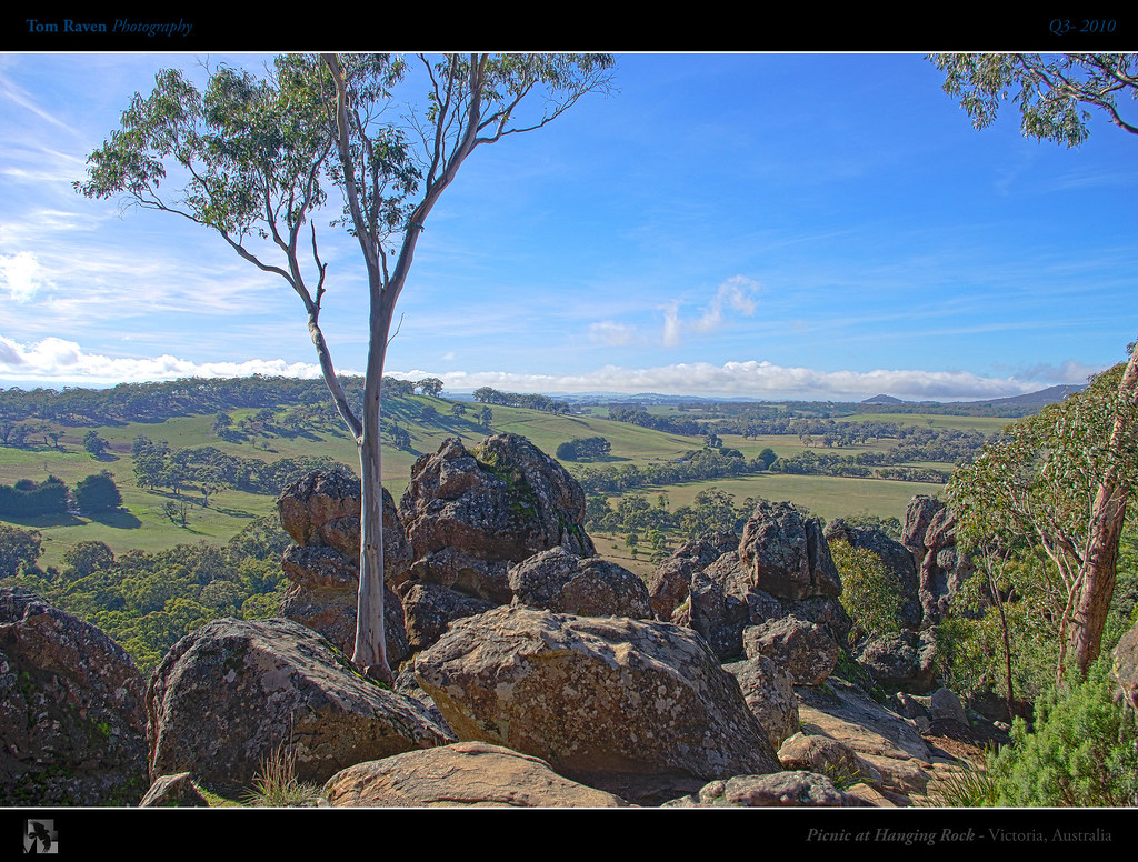
Picnic At Hanging Rock
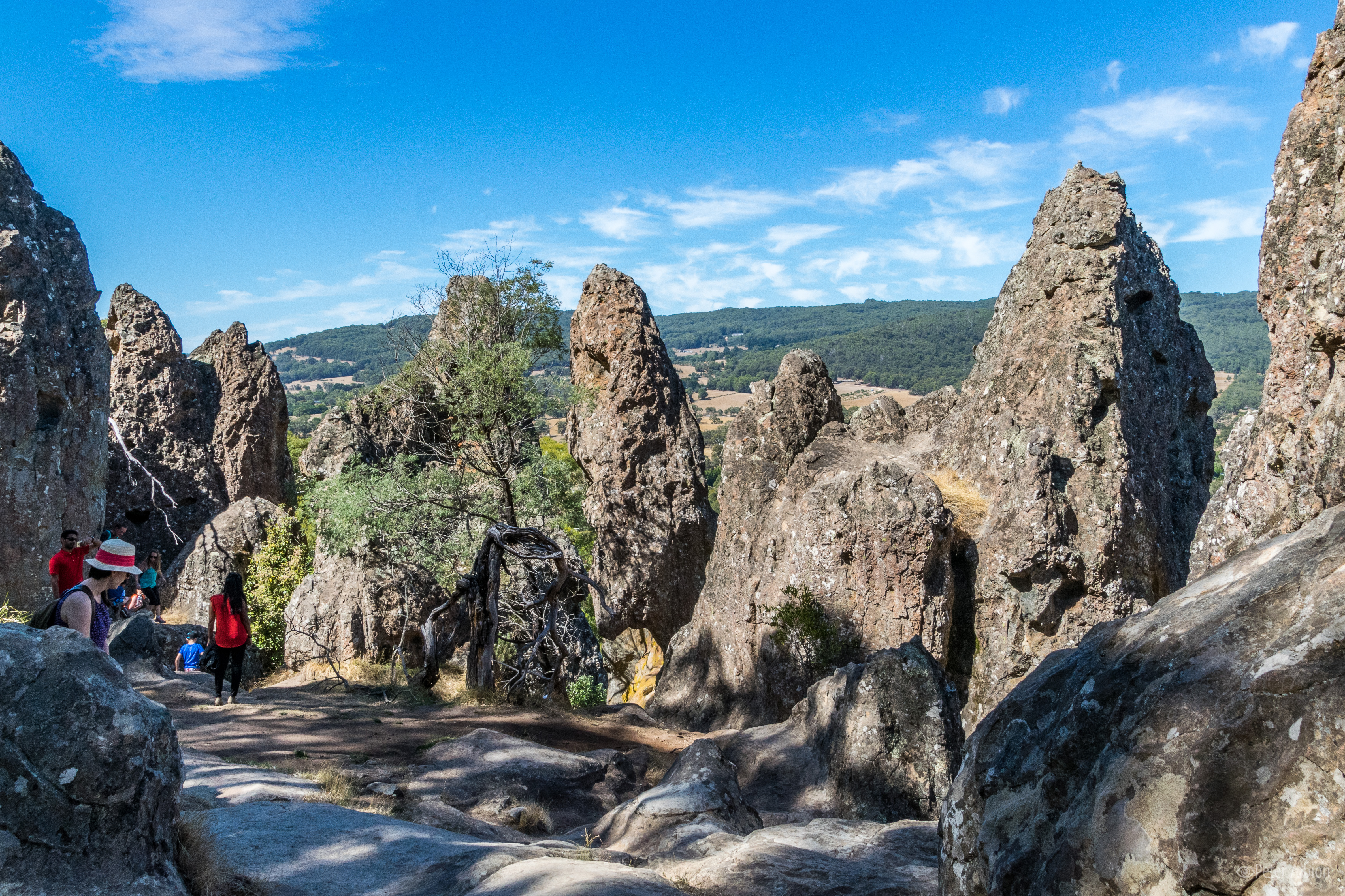
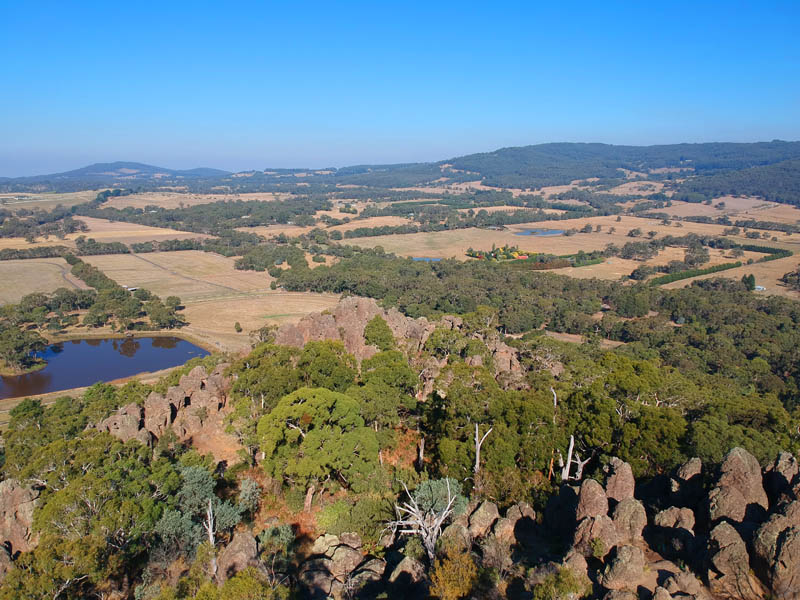
Views from Hanging Rock
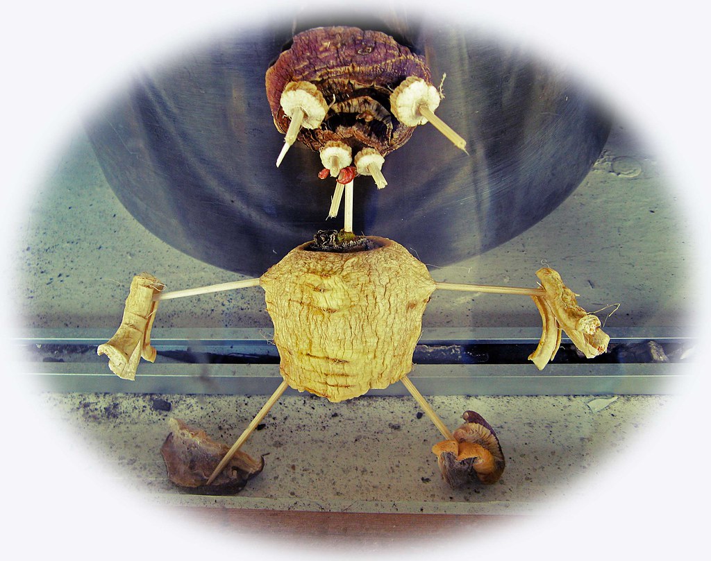
Parsnip Pete!

The Hospital 2

On The Path
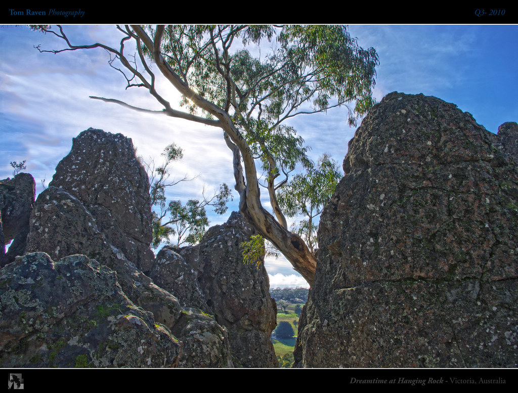
Dreamtime at Hanging Rock
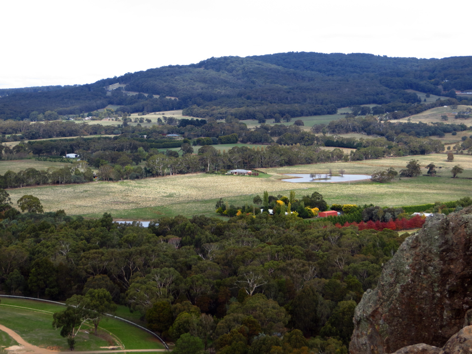
Views from Hanging Rock

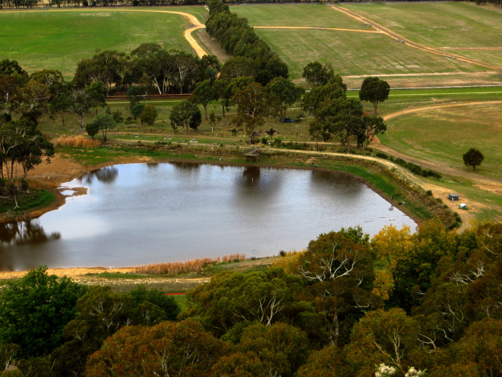
A Country Vista.
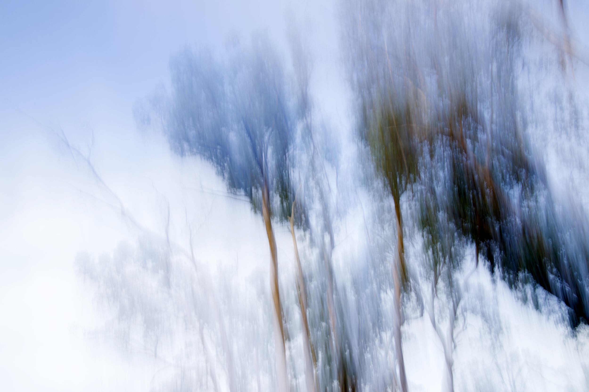
Abstract Trees
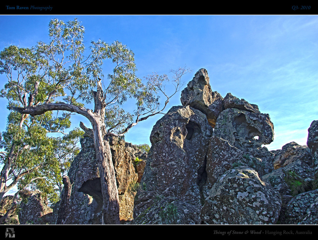
Things of Stone and Wood
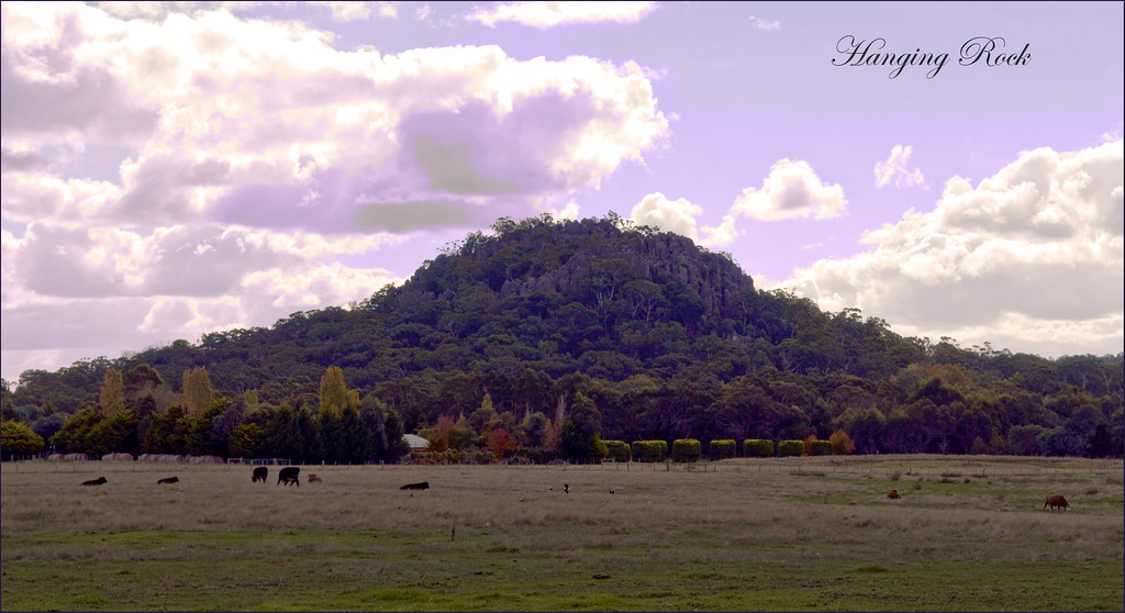
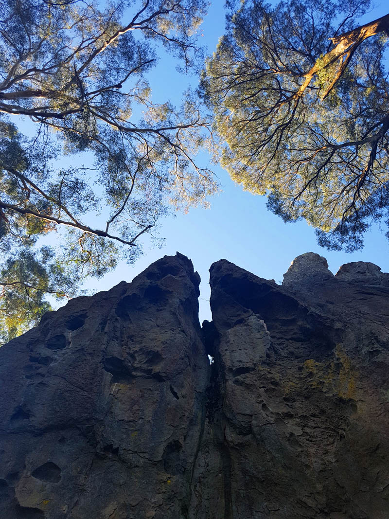
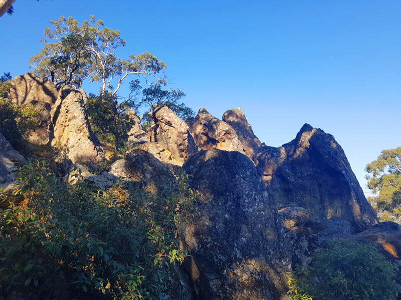
Hanging Rock
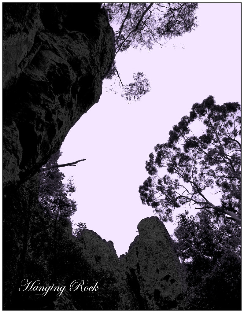
Hanging Rock
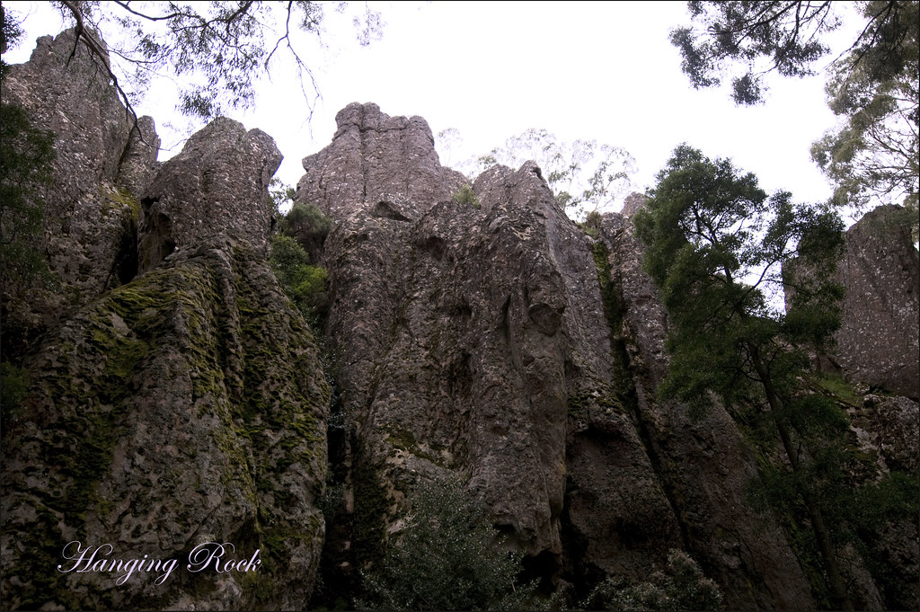
Hanging Rock
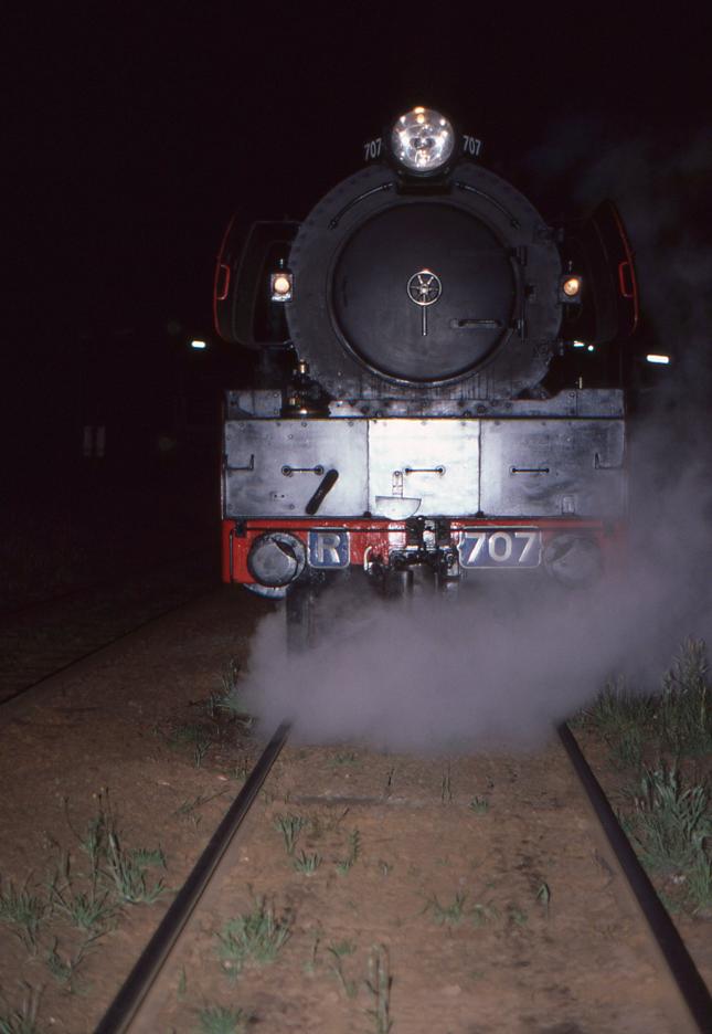
Head-on view of R-707 at Woodend.
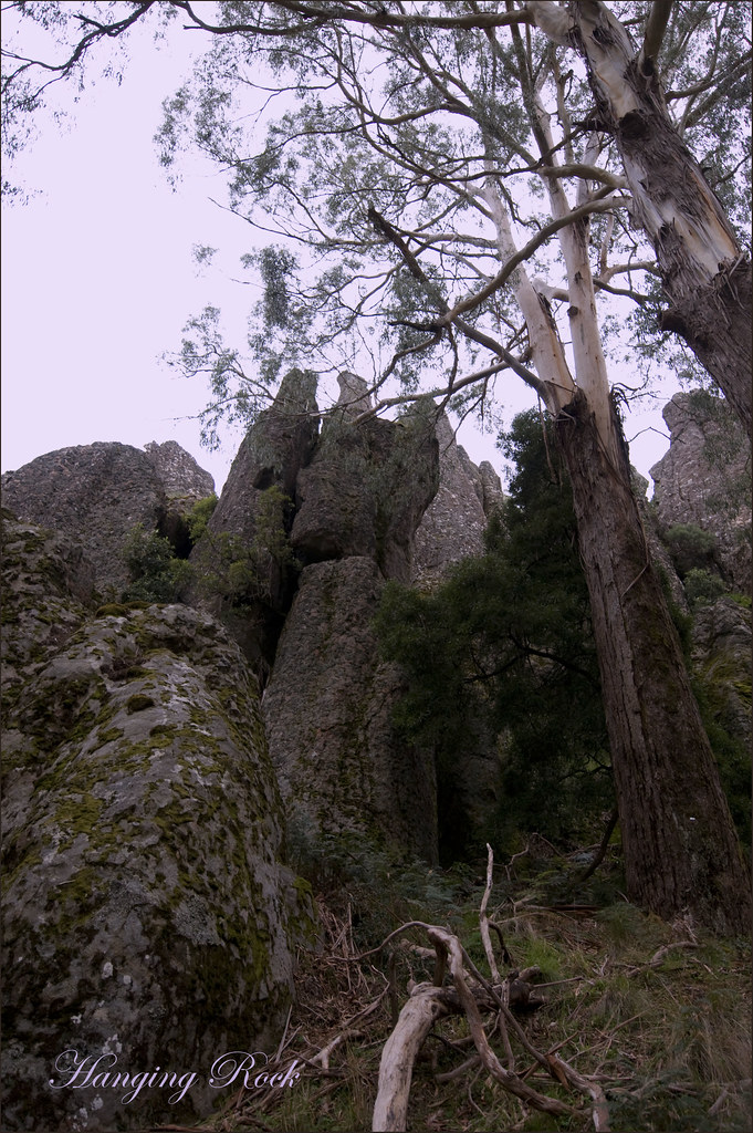
Hanging Rock
Hanging Rock - View of Blue Ridge Inn
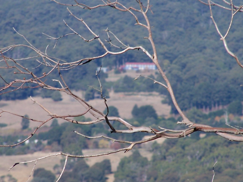
View to Mt Macedon
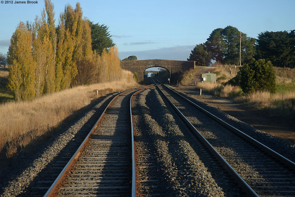
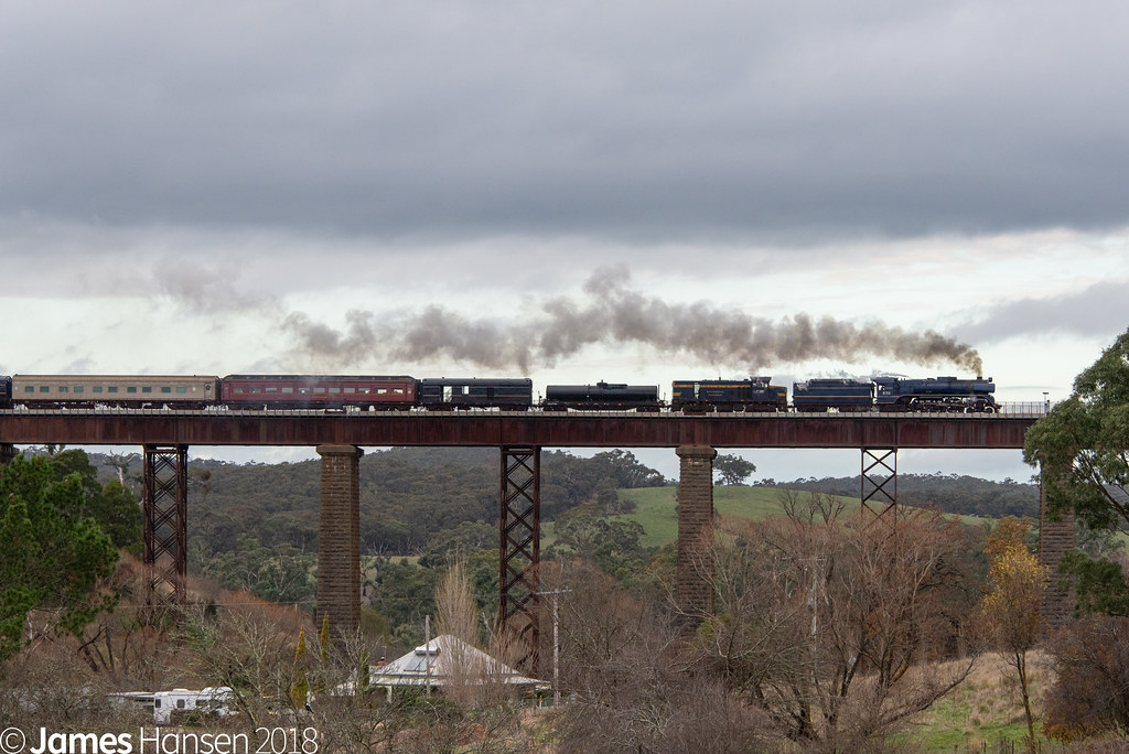
Departing Taradale loop

Towering Over Taradale
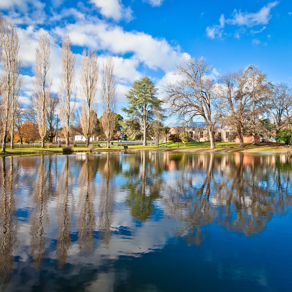
Malmsbury Botanical Garden
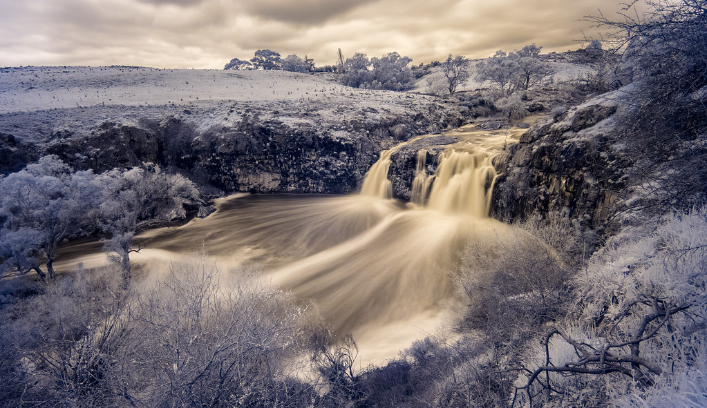
Turpins Falls (Infra-Red)

Hanging Rock 11
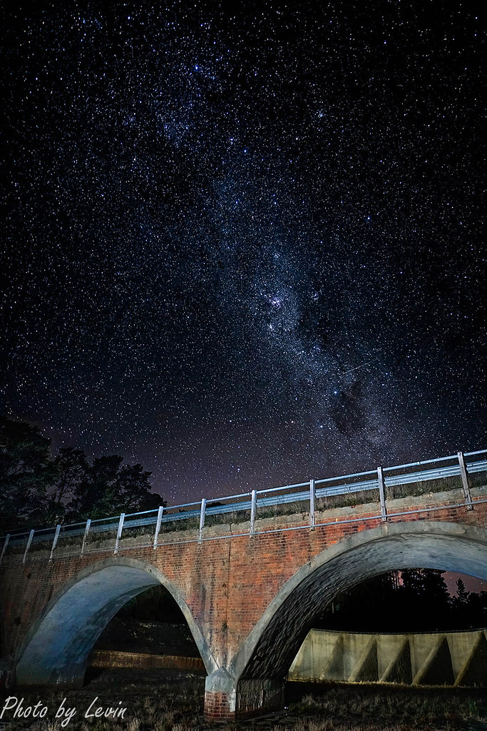
Coliban Bridge Stars

Standing Tall

Turpies Falls

Hanging Rock 28

Caught in the breeze
Hanging Rock 43
Returning to Melbourne
Hanging Rock 2
Hanging Rock 42
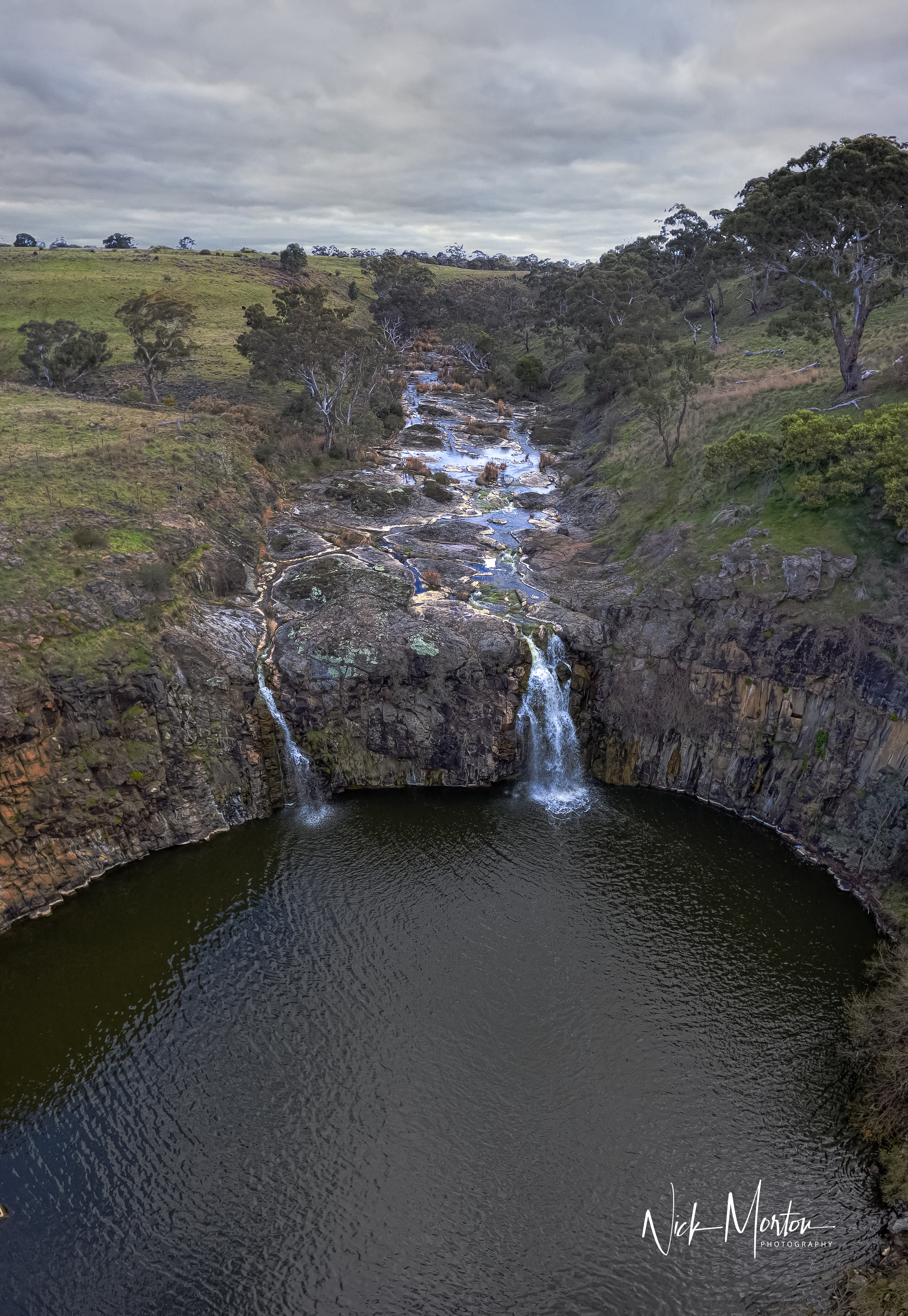
Turpin Falls
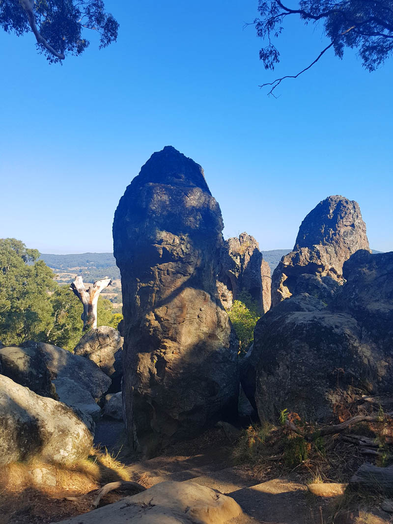
Hanging Rock 41
Topographic Map of 19 Mitchell St, Kyneton VIC, Australia
Find elevation by address:

Places near 19 Mitchell St, Kyneton VIC, Australia:
94a Ebden St
12 Bodkin St
22 Mollison St
Kyneton
George Street
24 Hill Dr
20 Hill Dr
16 Hill Dr
Trentham Road
Harpers Lane
101 Verekers Ln
8 Ebden St
Carlsruhe
45 Rutters Ln
81 Carlsruhe Cemetery Rd
Tylden
Metcalfe East
30 Clowes St
Cadello
Turpins Falls S.r.
Recent Searches:
- Elevation of Holloway Ave, San Francisco, CA, USA
- Elevation of Norfolk, NY, USA
- Elevation of - San Marcos Pass Rd, Santa Barbara, CA, USA
- Elevation of th Pl SE, Issaquah, WA, USA
- Elevation of 82- D Rd, Captain Cook, HI, USA
- Elevation of Harlow CM20 2PR, UK
- Elevation of Shenyang Agricultural University, Dong Ling Lu, Shen He Qu, Shen Yang Shi, Liao Ning Sheng, China
- Elevation of Alpha Dr, Melbourne, FL, USA
- Elevation of Hiroshima University, 1-chōme-3-2 Kagamiyama, Higashihiroshima, Hiroshima -, Japan
- Elevation of Bernina Dr, Lake Arrowhead, CA, USA