Elevation of 18th Ave, Columbus, NE, USA
Location: United States > Nebraska > Platte County > Columbus >
Longitude: -97.349349
Latitude: 41.4436769
Elevation: 440m / 1444feet
Barometric Pressure: 96KPa
Elevation Map:
Satellite Map:
Related Photos:
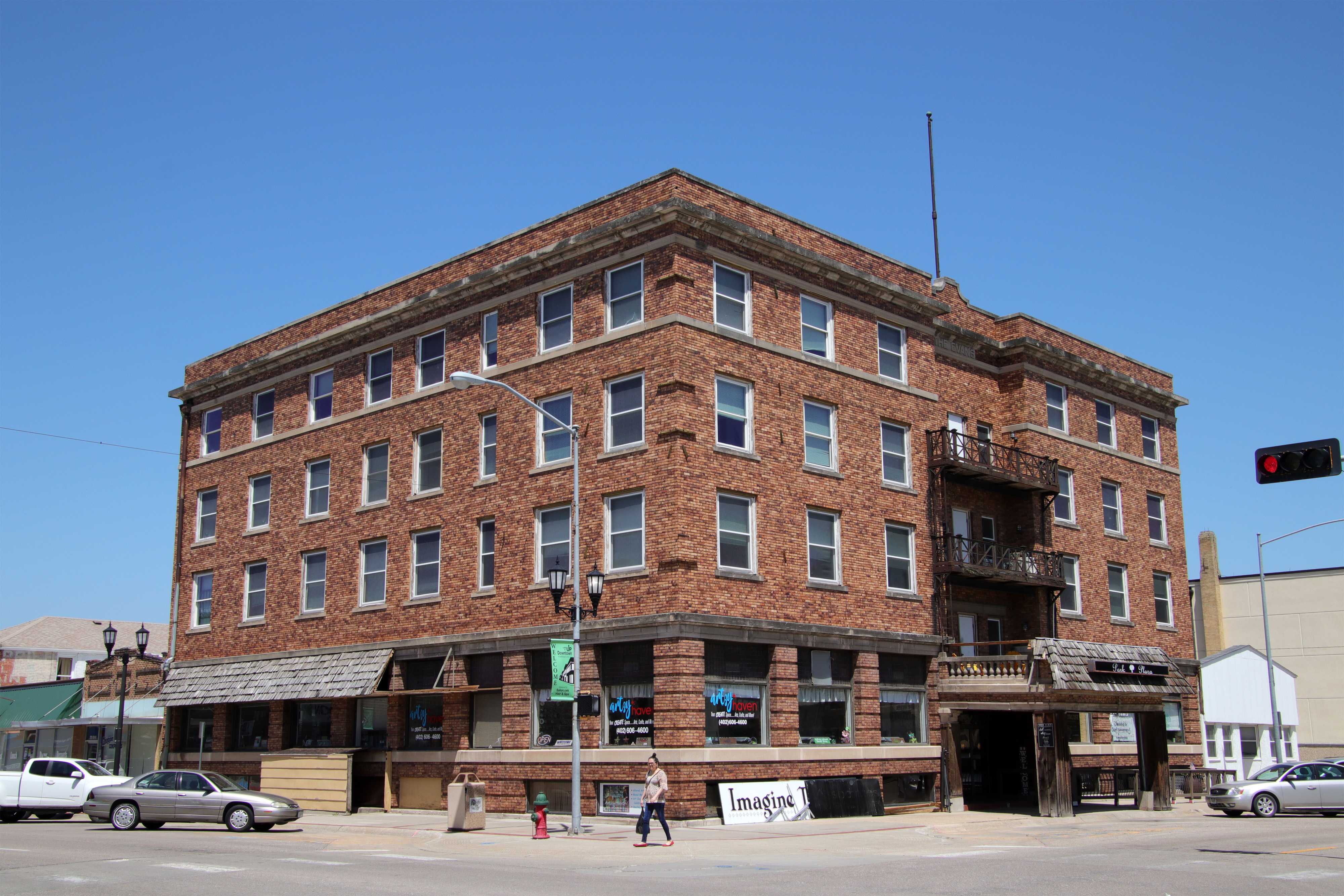
Park Plaza

Night flying

St. Anthony's Catholic Church (rear view) - Columbus, NE

My work...

Richland-NE

061412 -

Wispy clouds

Hike time

Hike time

More shit laying around
061412 - Thats not a Mothership Thats a Space Station!!!!
Topographic Map of 18th Ave, Columbus, NE, USA
Find elevation by address:

Places near 18th Ave, Columbus, NE, USA:
2772 18th Ave
2772 18th Ave
3065 26th Ave
1554 26th Ave
27th St, Columbus, NE, USA
Columbus
Lost Creek Elementary School
118 23rd St
Lincoln Hwy, Columbus, NE, USA
3221 13th St
3432 39th Ave
3432 39th Ave
3822 18th St
3668 39th Ave
3200 6th St
419 4th St
Ramada Hotel & Conference Center By Wyndham Columbus
728 S 2nd St
Pawnee Park
330 S 3rd St
Recent Searches:
- Elevation of Co Rd 87, Jamestown, CO, USA
- Elevation of Tenjo, Cundinamarca, Colombia
- Elevation of Côte-des-Neiges, Montreal, QC H4A 3J6, Canada
- Elevation of Bobcat Dr, Helena, MT, USA
- Elevation of Zu den Ihlowbergen, Althüttendorf, Germany
- Elevation of Badaber, Peshawar, Khyber Pakhtunkhwa, Pakistan
- Elevation of SE Heron Loop, Lincoln City, OR, USA
- Elevation of Slanický ostrov, 01 Námestovo, Slovakia
- Elevation of Spaceport America, Co Rd A, Truth or Consequences, NM, USA
- Elevation of Warwick, RI, USA