Elevation of 18 S Bayley Hazen Rd, Ryegate, VT, USA
Location: United States > Vermont > Caledonia County > Ryegate >
Longitude: -72.103736
Latitude: 44.2083419
Elevation: 320m / 1050feet
Barometric Pressure: 98KPa
Elevation Map:
Satellite Map:
Related Photos:
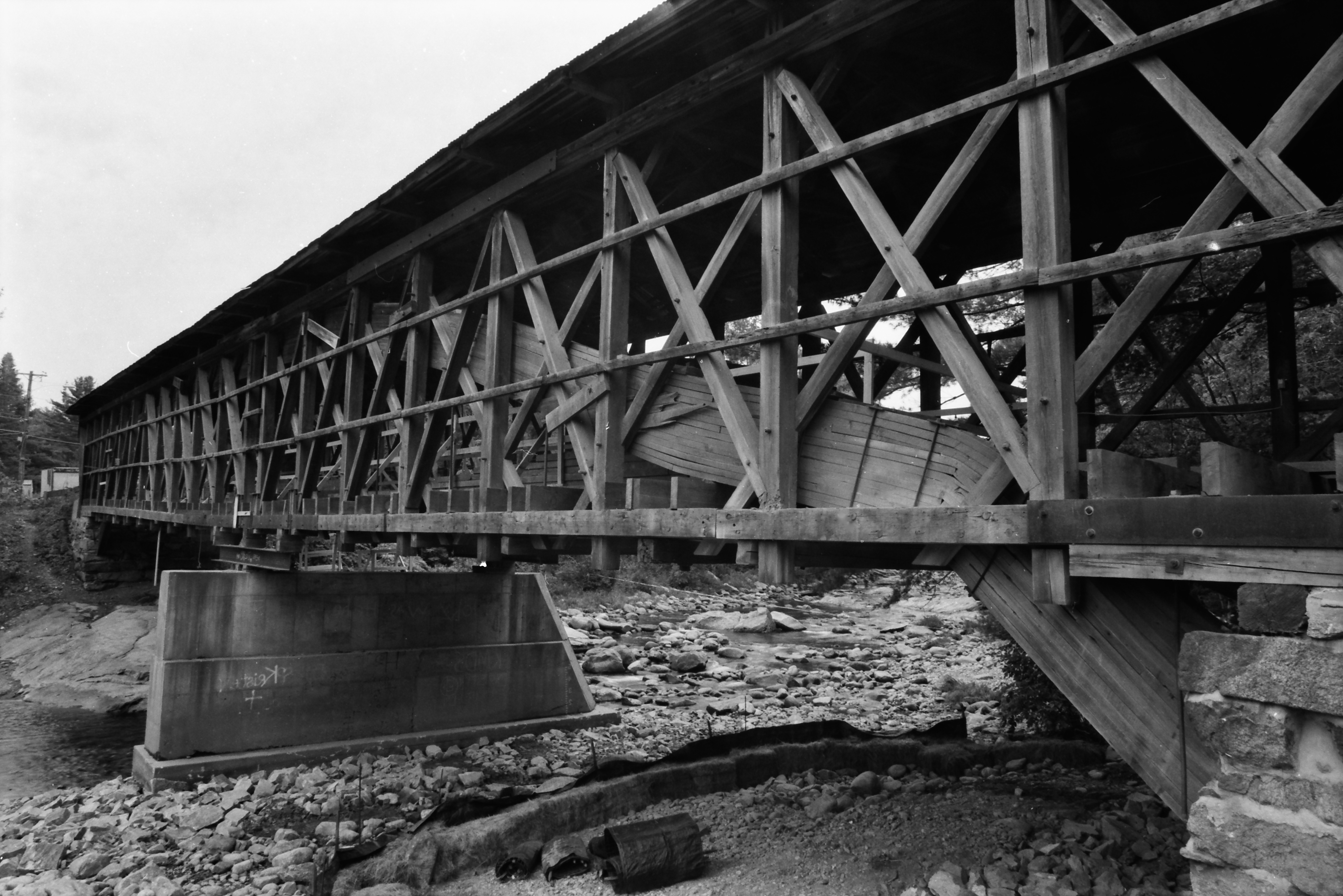
Broken Bridge
Peacham Mist
Bath, NH
Borders of NH
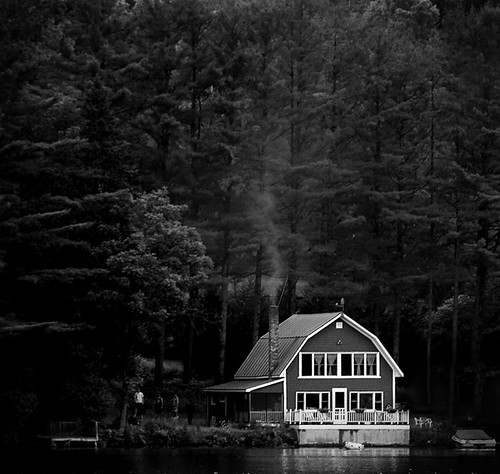
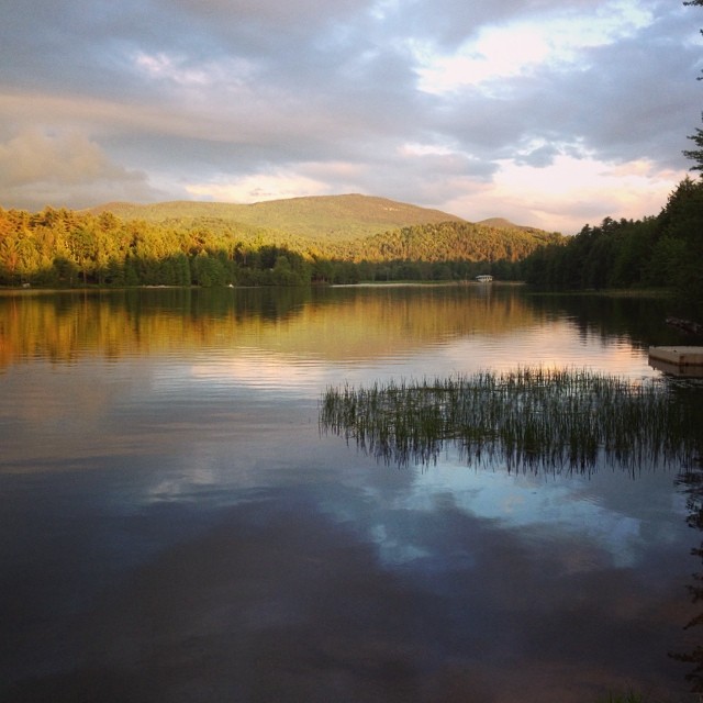
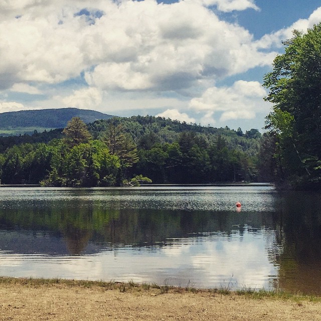
Lake Barnet

Looking through the door, from the front desk at Karme Choling

NH Fall Foliage 4
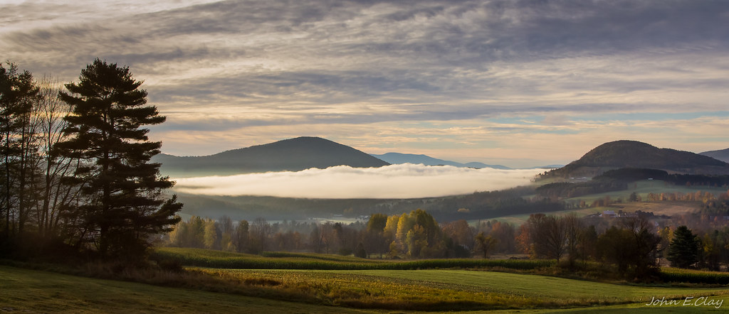
Peacham Panorama
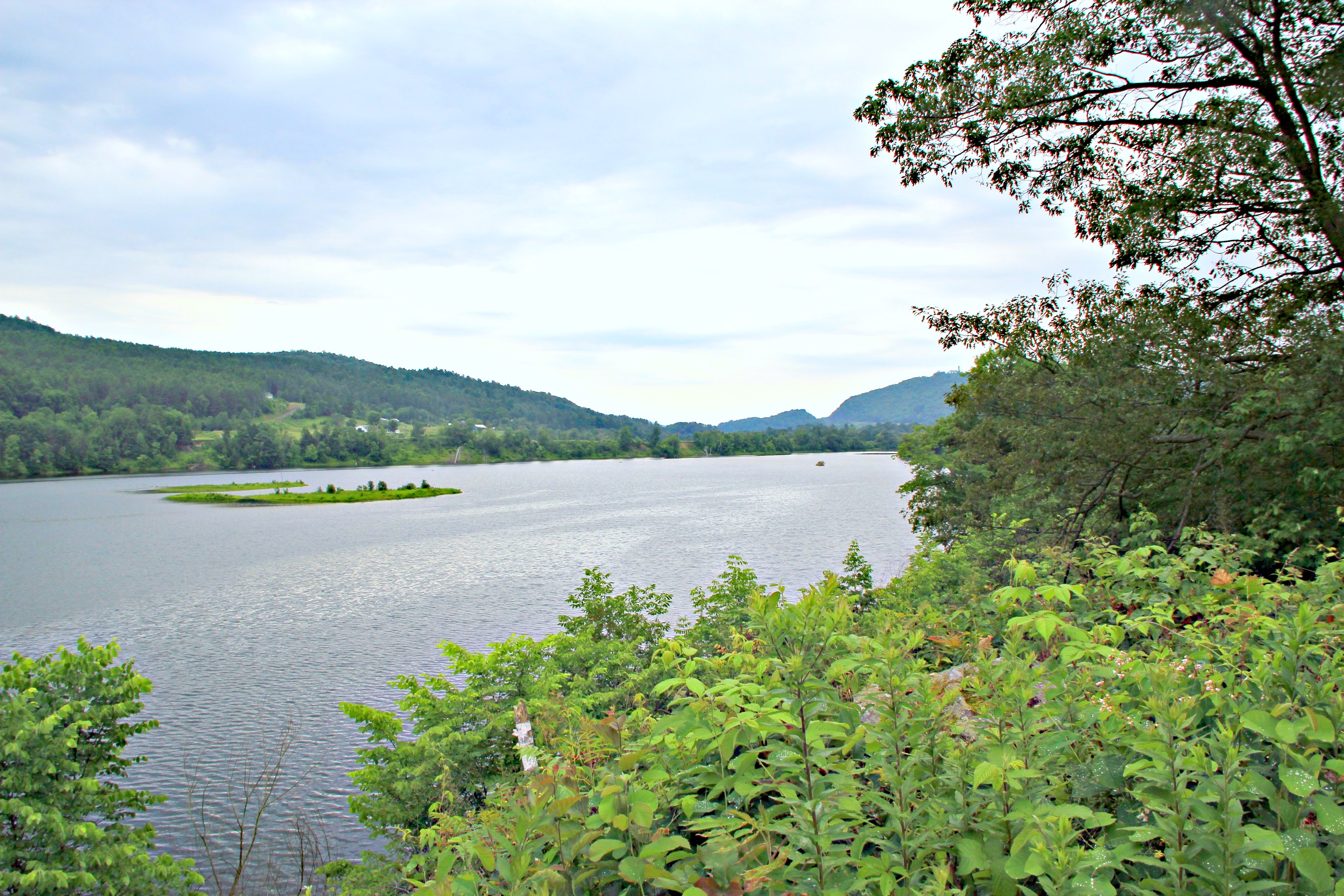
CT river view from the B & B
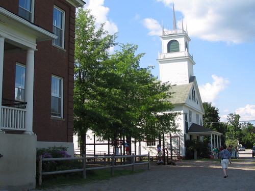
Another View of the Church
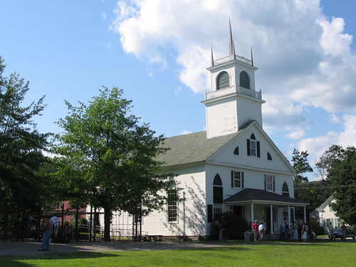
From the Green
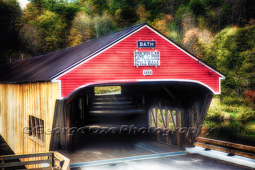
Bath Covered Bridge Entrance View, Bath, New Hampshire
91NB-Exit18-19
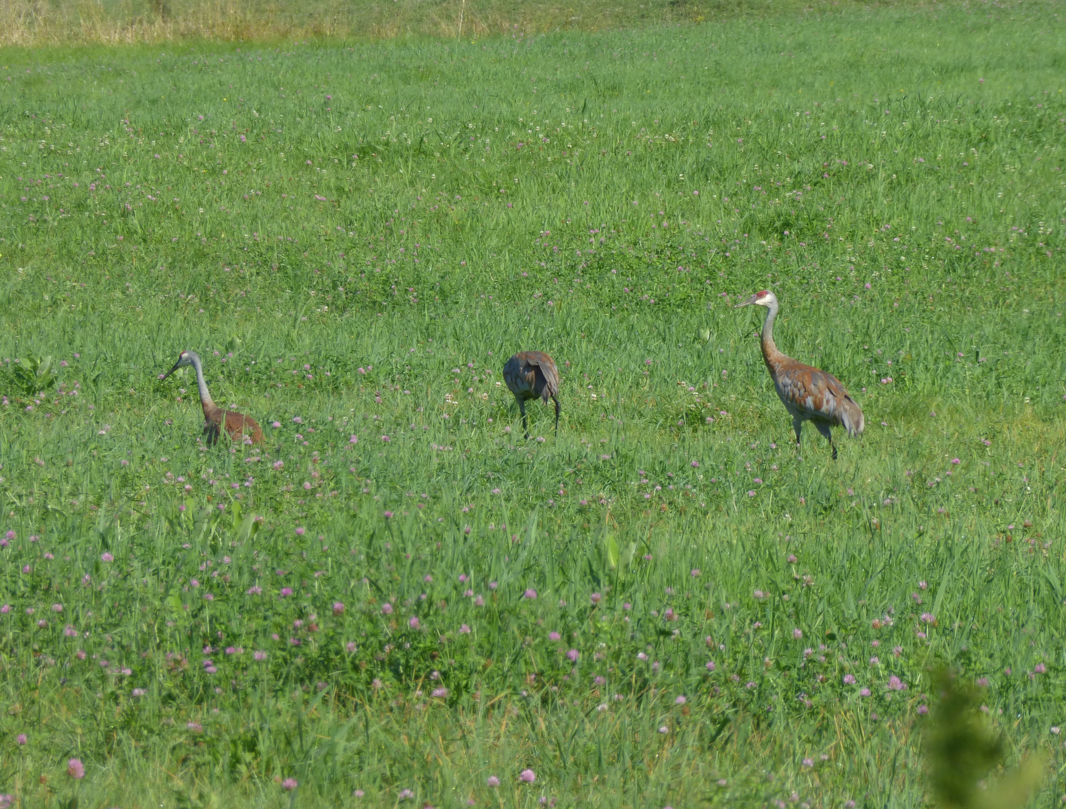
Sandhill Cranes!
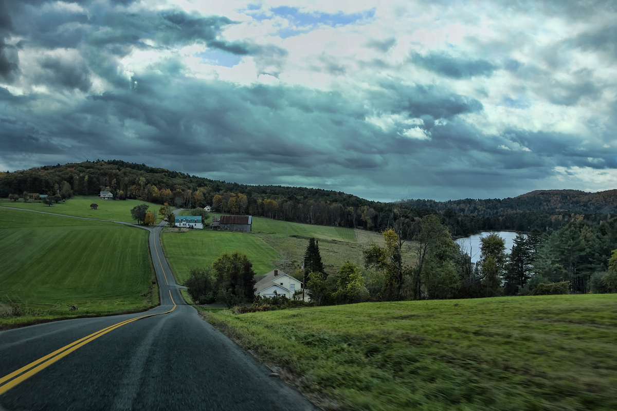
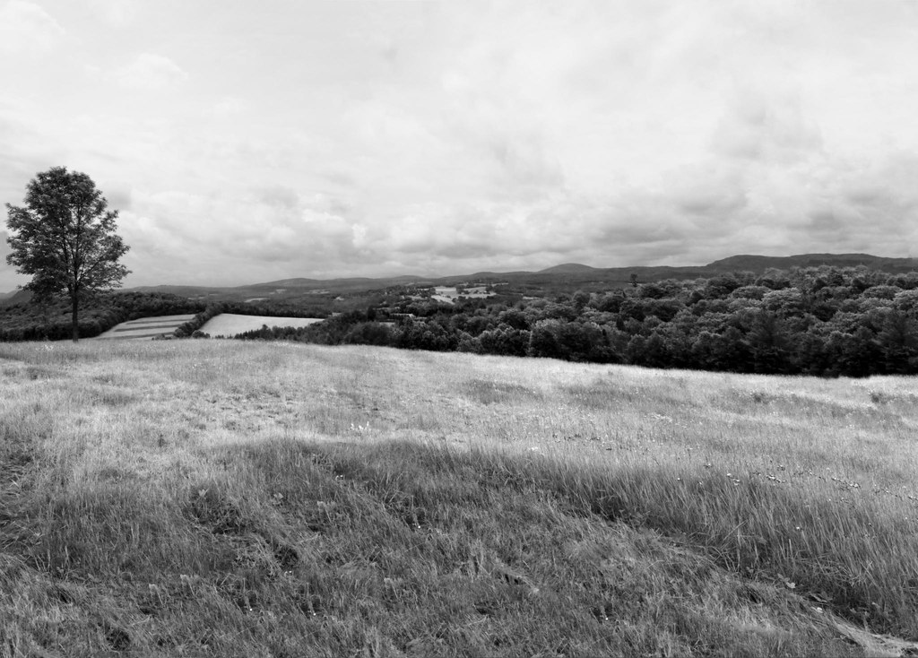
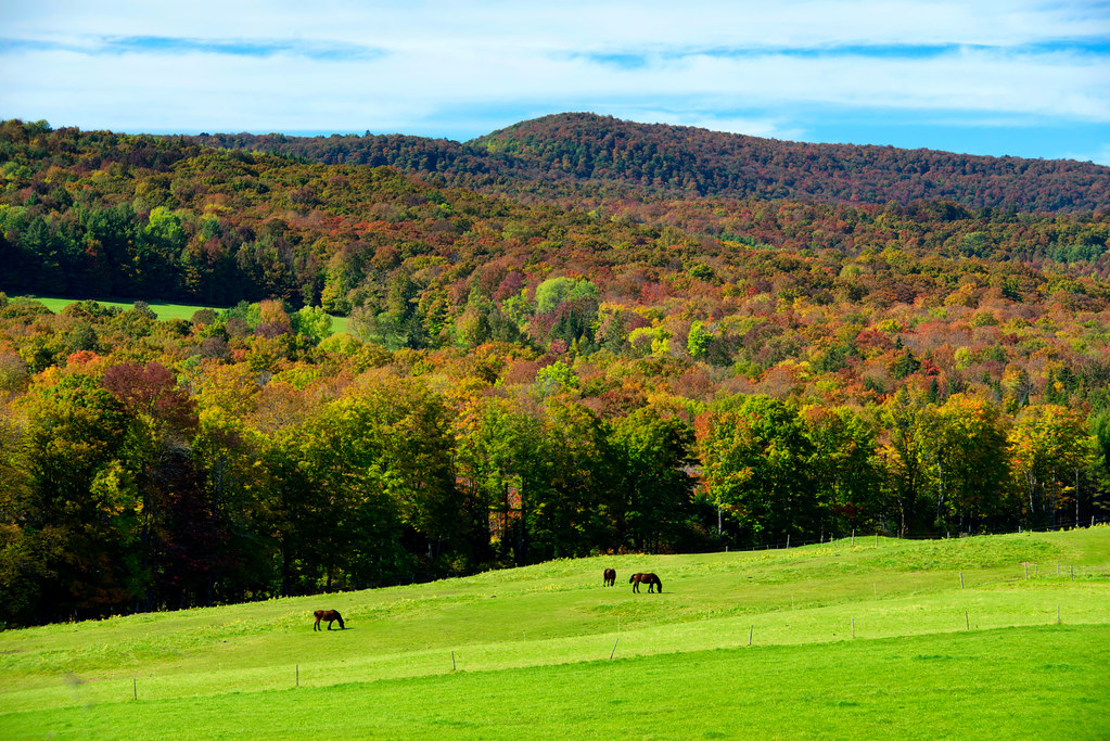
The Valley
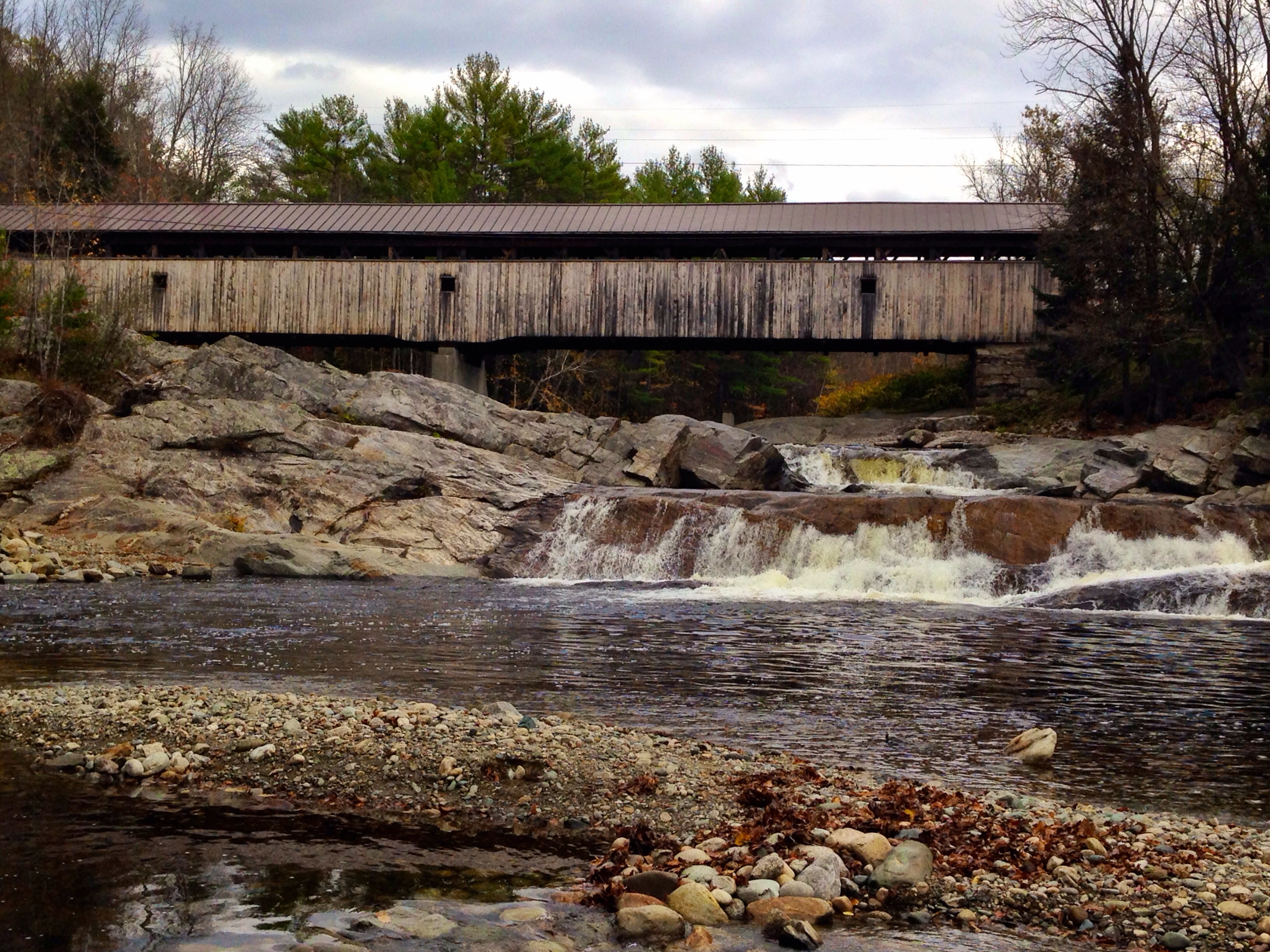
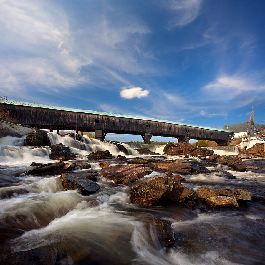
Covered Bridge

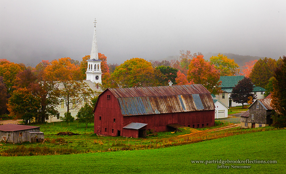
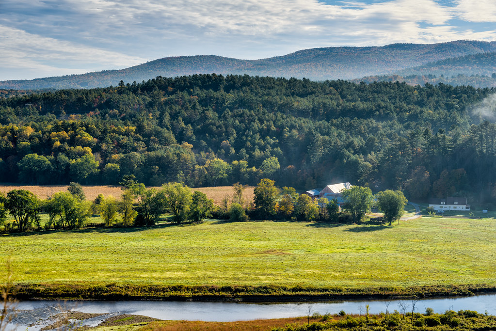
Peacham, Vermont

Sunset tonight made the sky look like it was on fire!
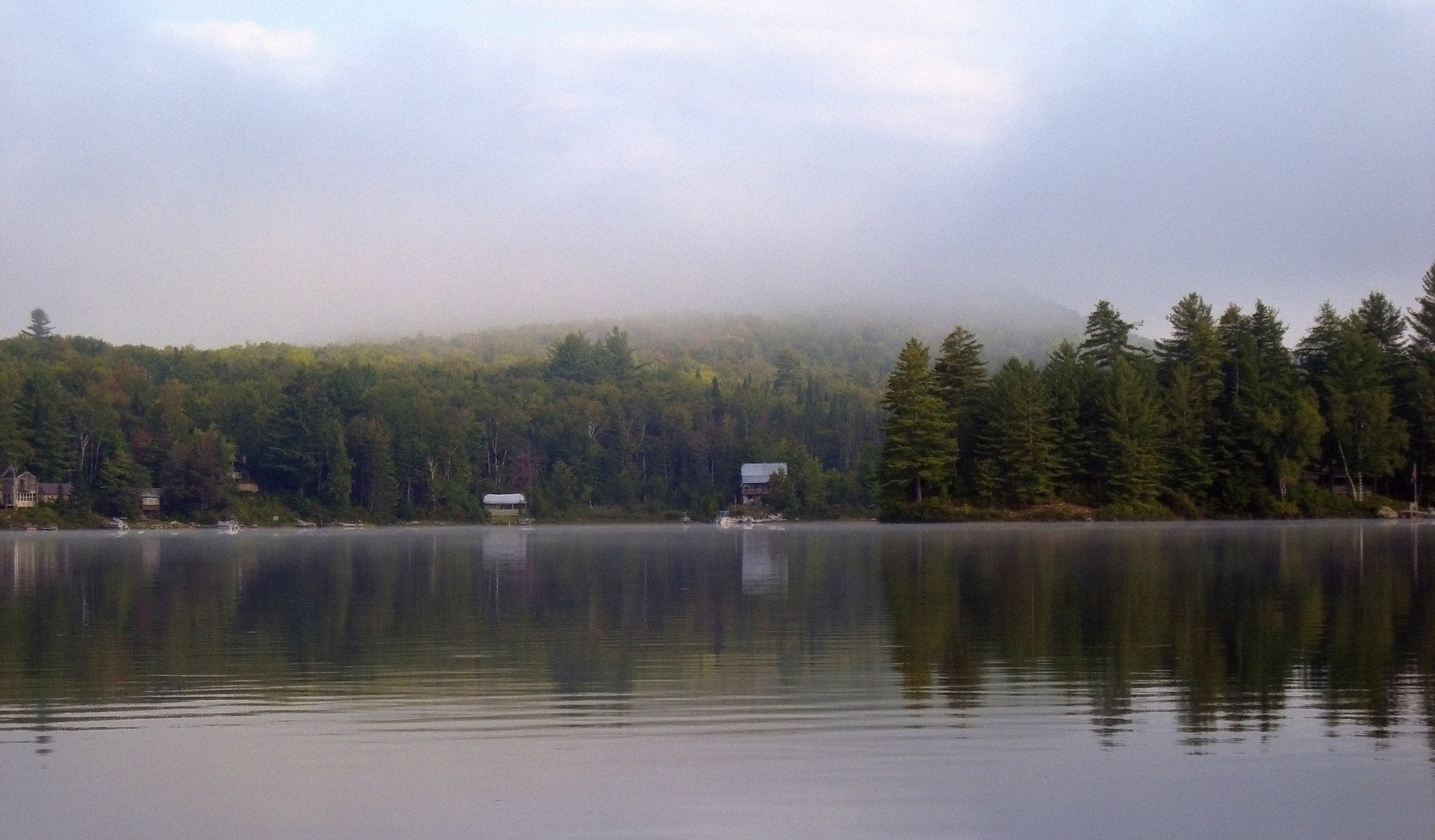
Morning fog over Ricker Pond
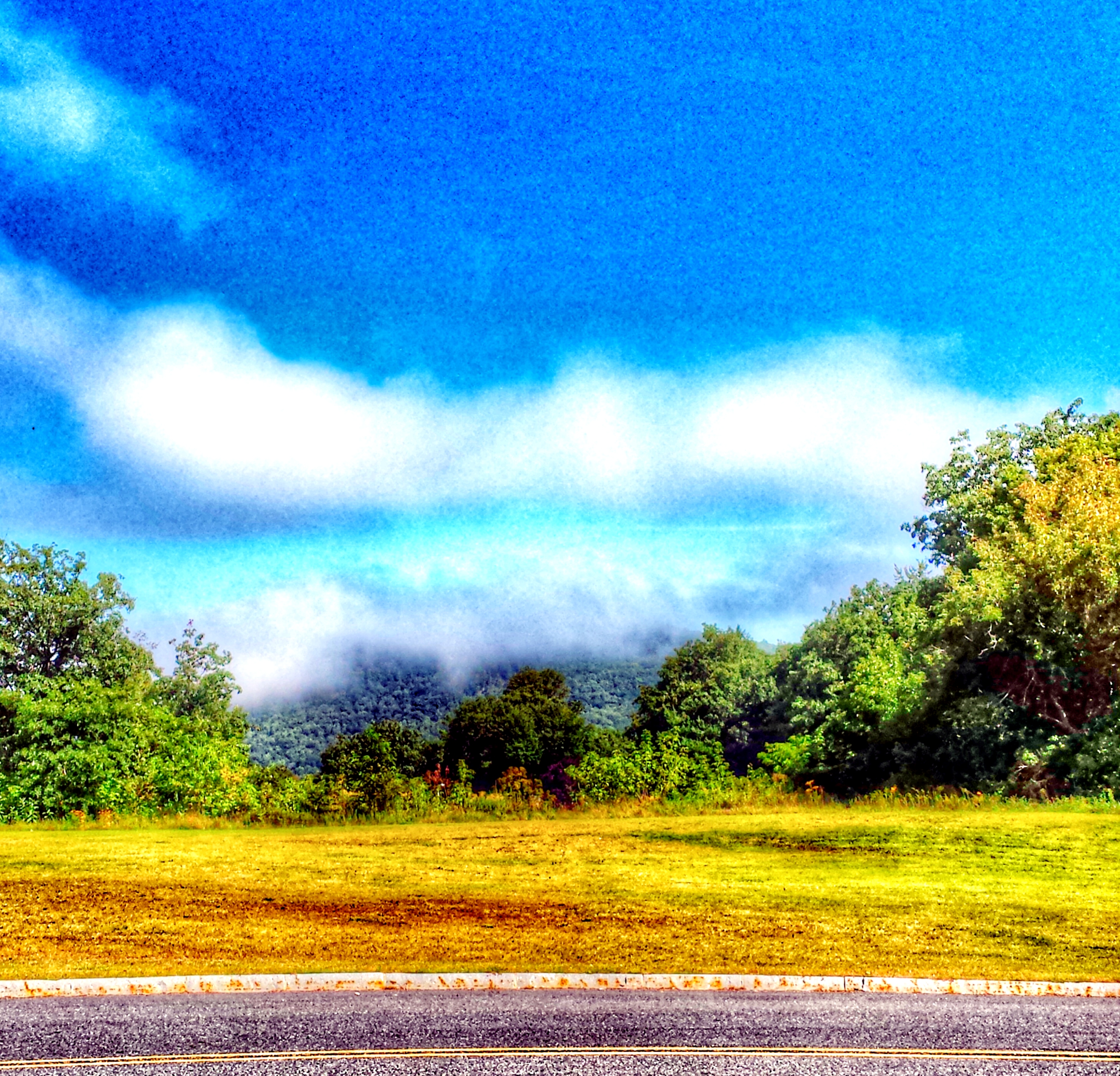
"LOW CLOUDS" Vermont

Still a little fall left in Lisbon, NH
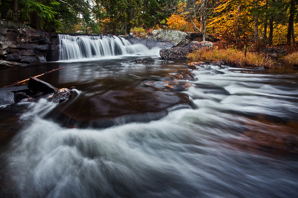
Little Unnamed Waterfall in Vermont
t42_908420151012_DSC5621.jpg

A reminder of warmer days
My favorite fishing spot
'Morning. #woodsville #mountainlakes #newhampshire #labordayweekend
Vermont - New Hampshire Border 2.jpg
My happy place #newhampshire

Ruby Throated Hummingbird
Summer Sunset
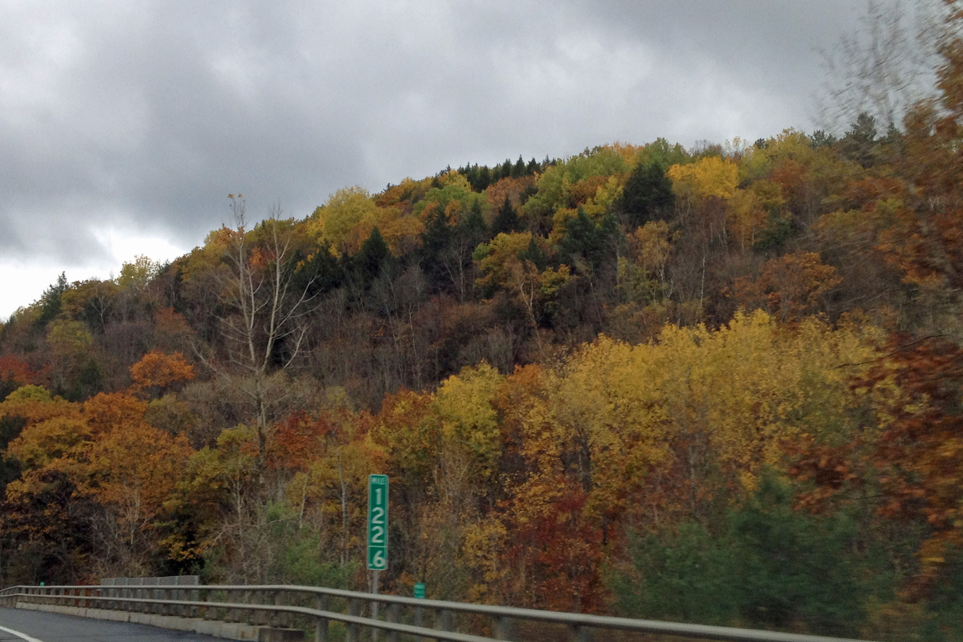
I-91-Mile122-101212a

Comerford Dam on Vermont - New Hampshire Border
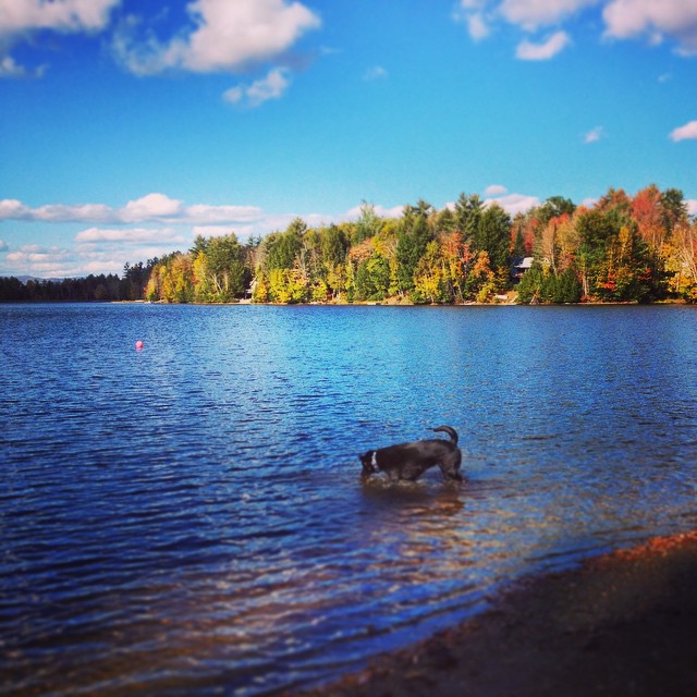
Andy is always ready for a swim! #fall

Lake Groton Dam
Topographic Map of 18 S Bayley Hazen Rd, Ryegate, VT, USA
Find elevation by address:

Places near 18 S Bayley Hazen Rd, Ryegate, VT, USA:
779 Symes Pond Rd
186 Hillside Dr
754 Cochran Dr
219 Longmoore Dr
Ryegate
40 Jennings Ln
South Ryegate
8 Church St, South Ryegate, VT, USA
52 Stoneshed Rd
258 Vaughan Rd
Mosquitoville Rd, Groton, VT, USA
874 Glover Rd
2078 Glover Rd
184 Stark Trail
184 Stark Trail
184 Stark Trail
Newbury
952 Minard Hill Rd
Wallace Hill Road
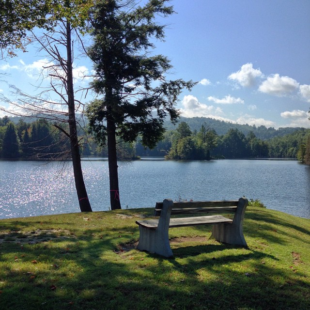
Harvey Lake
Recent Searches:
- Elevation of Rojo Ct, Atascadero, CA, USA
- Elevation of Flagstaff Drive, Flagstaff Dr, North Carolina, USA
- Elevation of Avery Ln, Lakeland, FL, USA
- Elevation of Woolwine, VA, USA
- Elevation of Lumagwas Diversified Farmers Multi-Purpose Cooperative, Lumagwas, Adtuyon, RV32+MH7, Pangantucan, Bukidnon, Philippines
- Elevation of Homestead Ridge, New Braunfels, TX, USA
- Elevation of Orchard Road, Orchard Rd, Marlborough, NY, USA
- Elevation of 12 Hutchinson Woods Dr, Fletcher, NC, USA
- Elevation of Holloway Ave, San Francisco, CA, USA
- Elevation of Norfolk, NY, USA