Elevation of 18 Chemin du Lac Durand, Saint-David-de-Falardeau, QC G0V, Canada
Location: Canada > Québec > Le Fjord-du-saguenay Regional County Municipality > Saint-david-de-falardeau >
Longitude: -71.093695
Latitude: 48.6424823
Elevation: 197m / 646feet
Barometric Pressure: 99KPa
Elevation Map:
Satellite Map:
Related Photos:

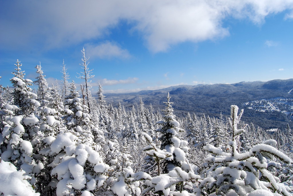
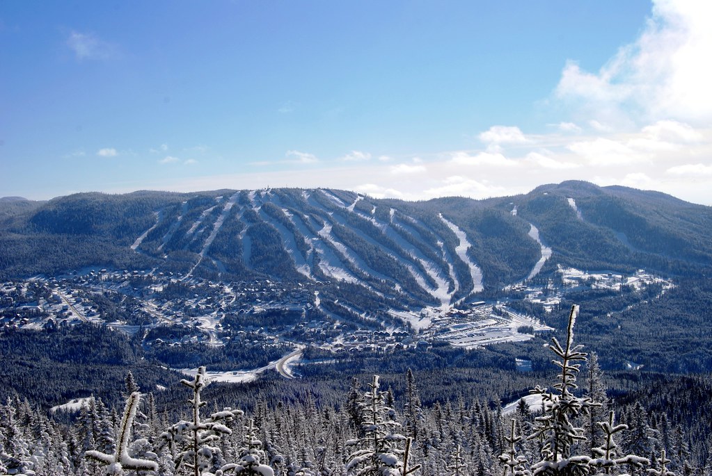
Le Valinouet
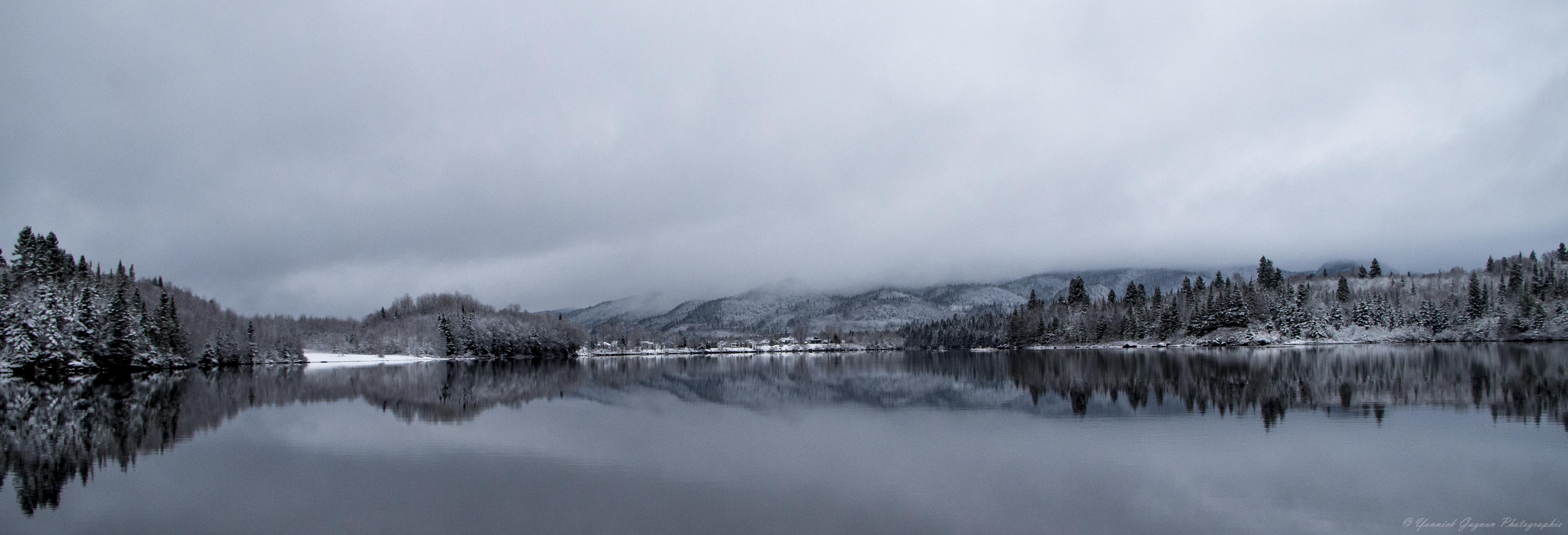
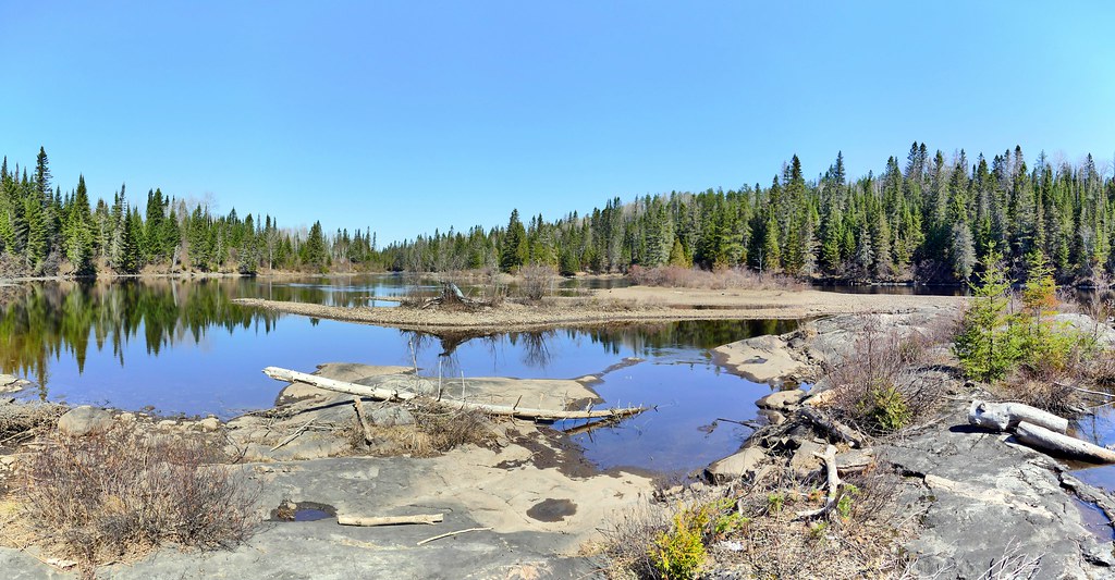
lac la mothe
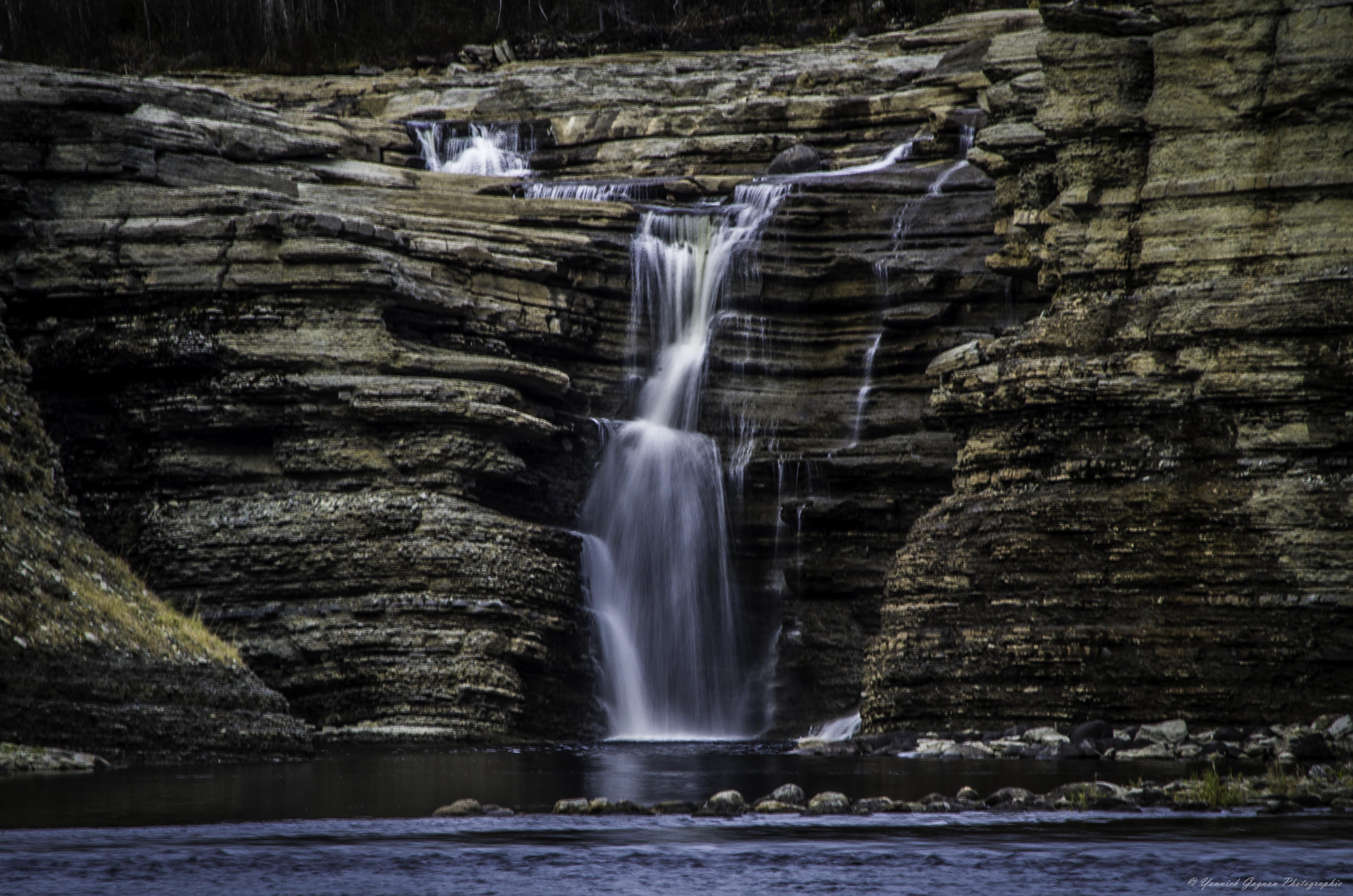
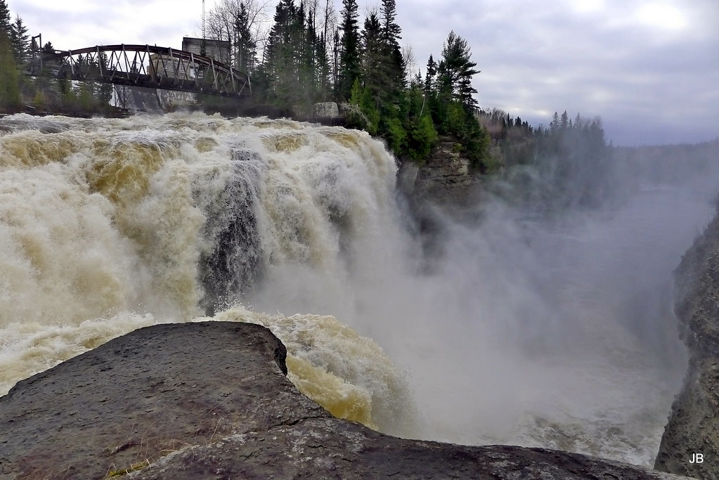
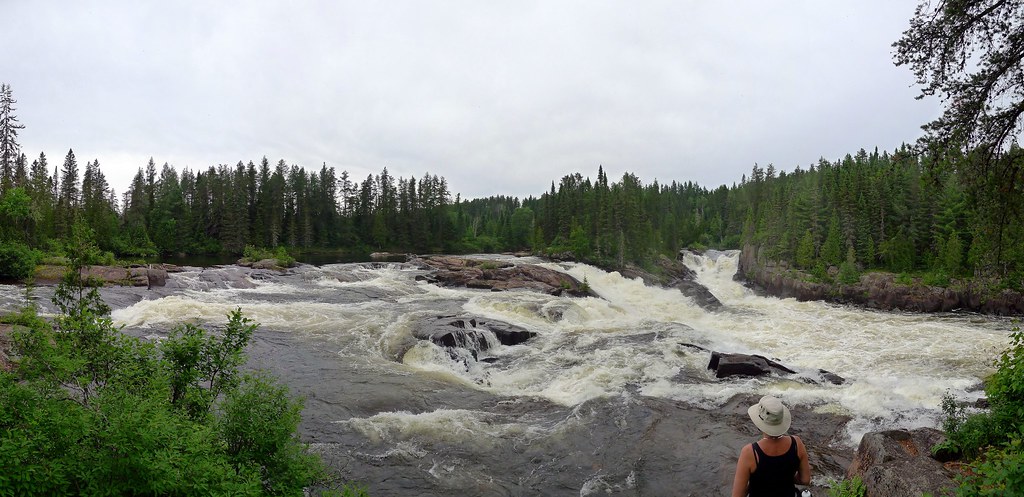
chute aux galets
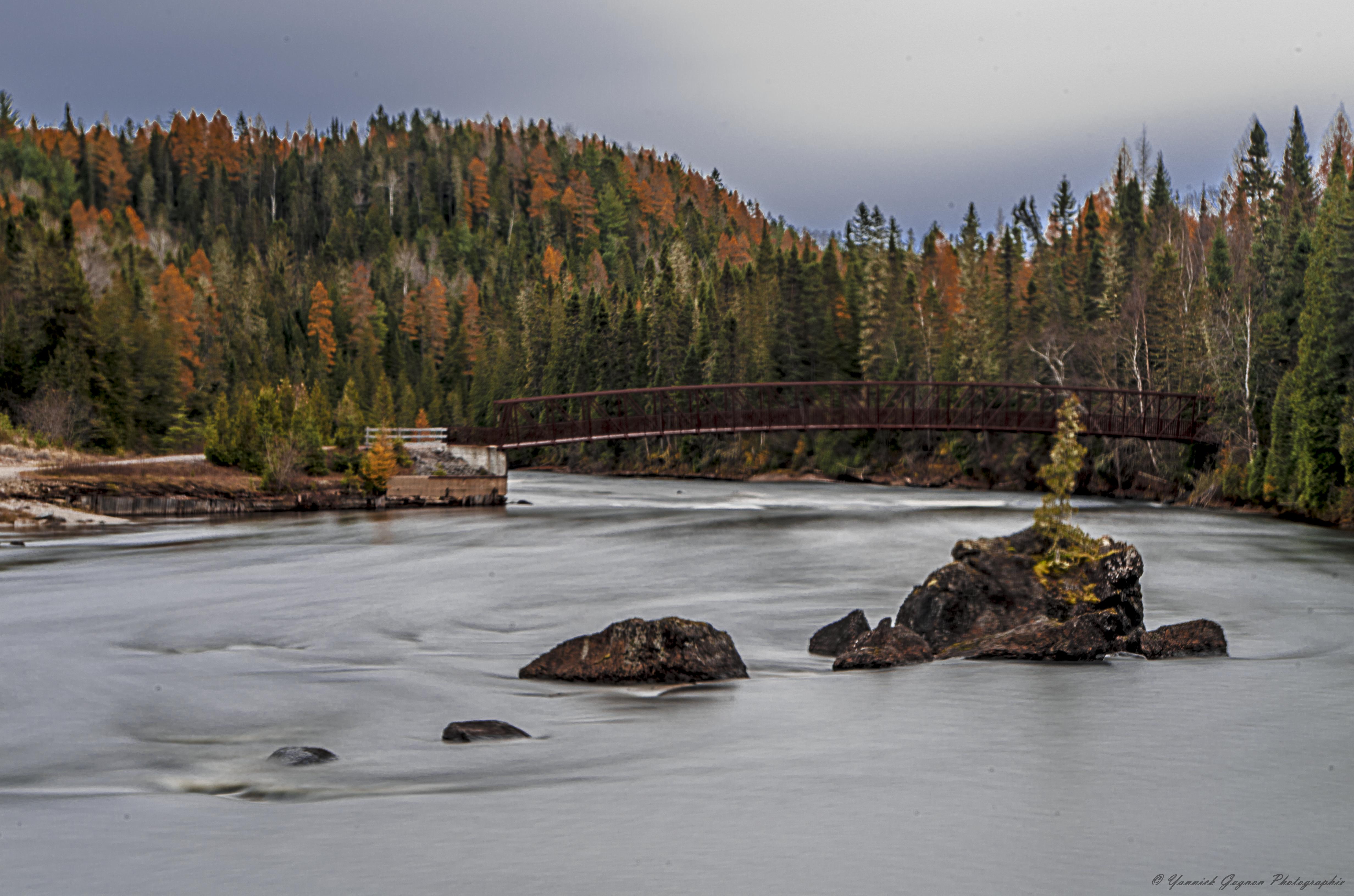
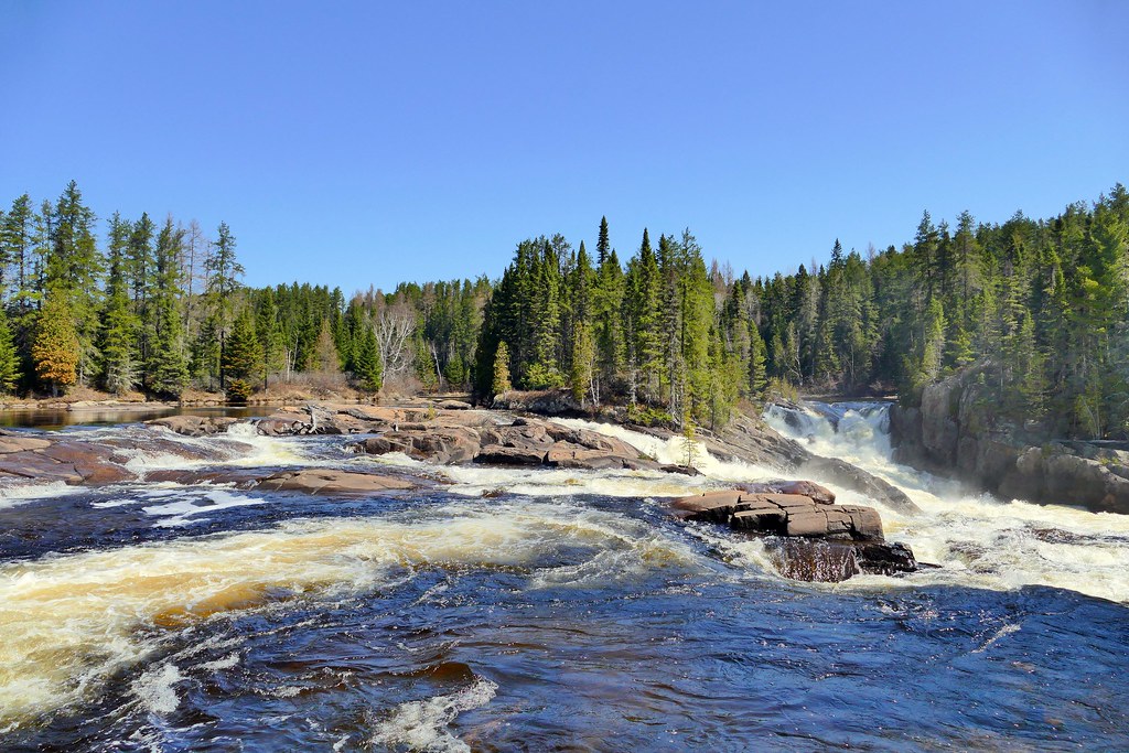
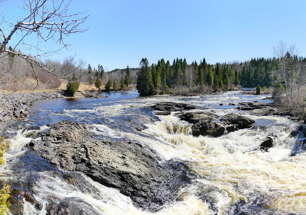
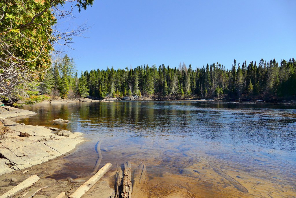
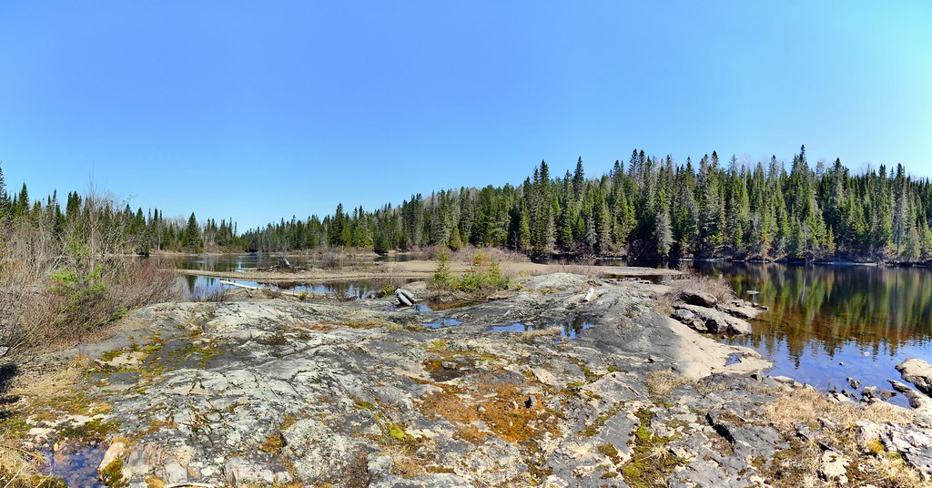
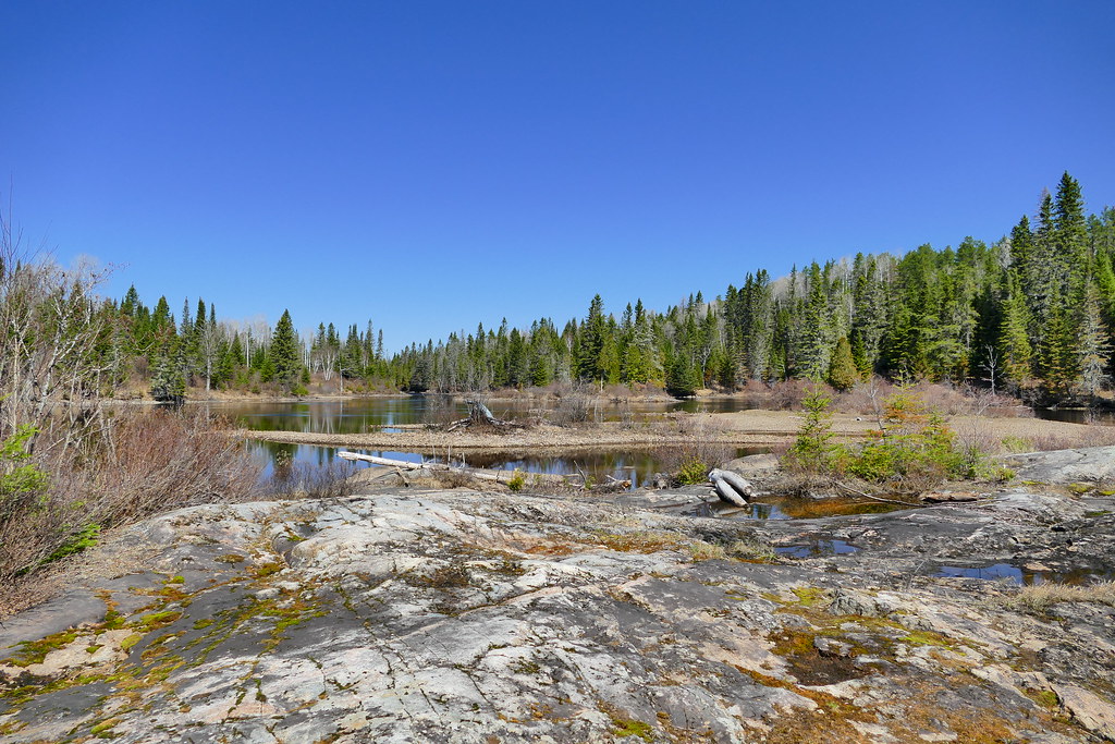
Rivière Shipshaw

Rivière Shipshaw_2015-05-06-104634
Rivière Shipshaw_2015-05-06-103116

Rivière Shipshaw_2015-05-06-103257
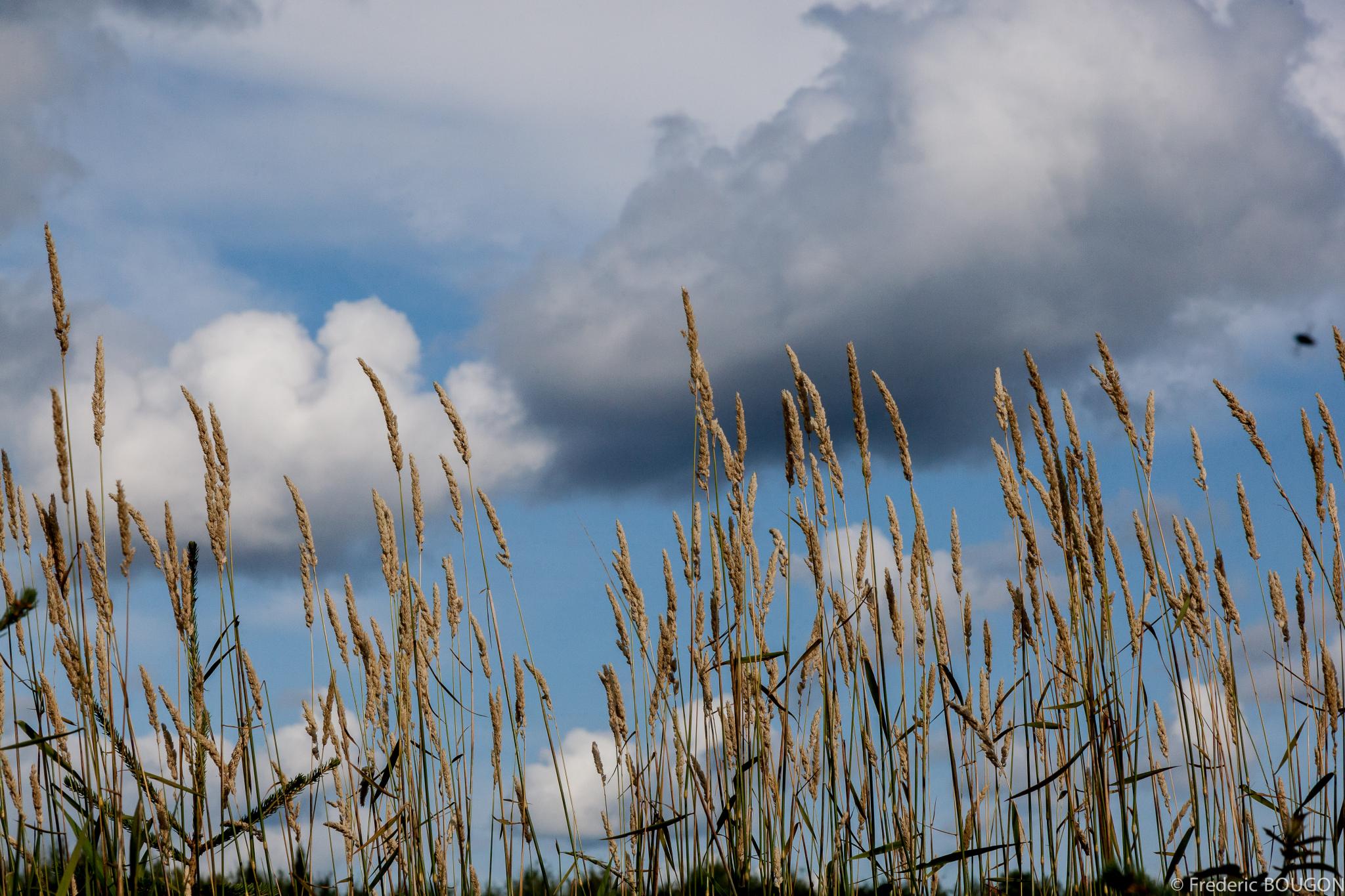
Les herbacées et la mouche, Saint David de Falardeau, Quebec
Rivière Shipshaw_2015-05-06-103018
Rivière Shipshaw_2015-05-06-111506
Rivière Shipshaw_2015-05-06-101908
Rivière Shipshaw_2015-05-06-104748
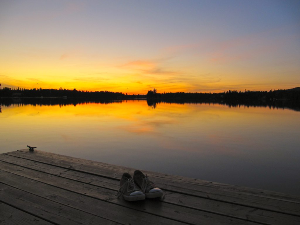
water & shoes
Valinouet2008-02-09 12-10-32_091
Chutes aux galets_2013-11-02-100950
Valinouet2008-02-09 12-10-26_089
Rivière Shipshaw_2015-05-06-104819
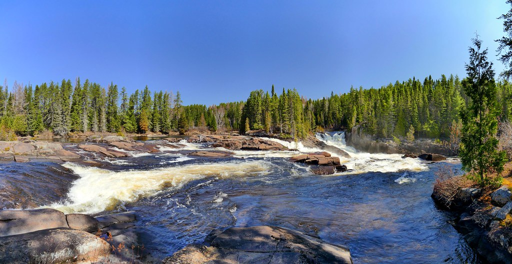
ChuteAGagnon_2011-07-06-185403_stitch

Chutes aux galets_2013-11-02-121812
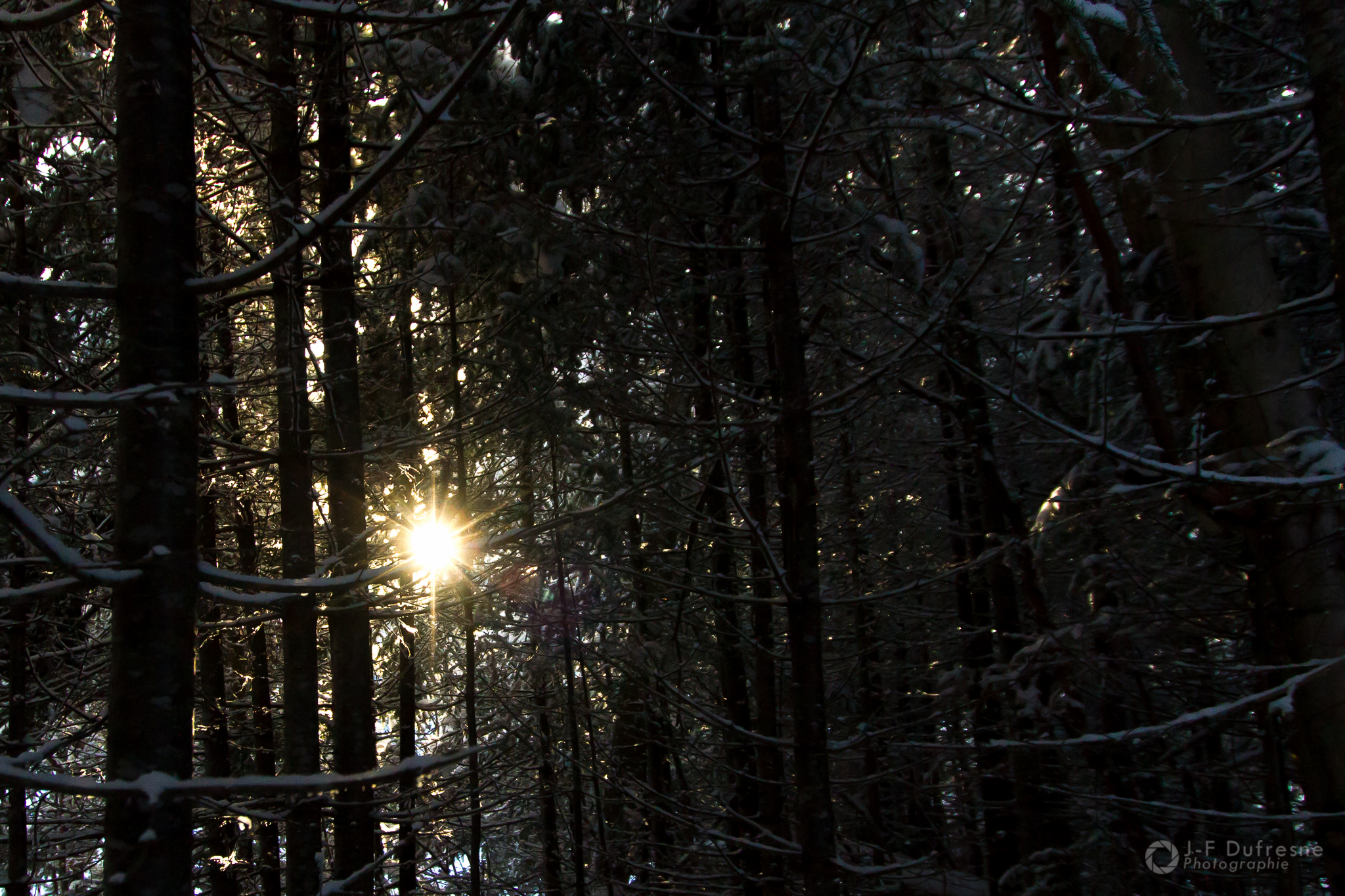
Quand le soleil perce le mur
Rivière Shipshaw_2015-05-06-104754
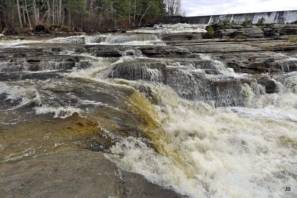
Chutes aux galets_2013-11-02-101015
Topographic Map of 18 Chemin du Lac Durand, Saint-David-de-Falardeau, QC G0V, Canada
Find elevation by address:

Places near 18 Chemin du Lac Durand, Saint-David-de-Falardeau, QC G0V, Canada:
Saint-david-de-falardeau
G0v 1c0
15e Chemin Du Lac-sébastien
Saint-honoré
Niobec - Bureau Des Relations Avec La Communauté
Saint-honoré
205 Rue Lacordaire
L'Éternel Spa
Station De Ski Valinouet
Rue Villeneuve, Canton-Tremblay, QC G7H 5A8, Canada
245 Rue Le Jeune
Saguenay
Boulevard du Saguenay E, Chicoutimi, QC G7H 1L6, Canada
2575 Rang Saint Martin
Bégin
768 Rue D'alsace
6 Rue Olivar Asselin, Chicoutimi, QC G7H 3A8, Canada
1303 Boulevard Talbot
Rue Malherbe, Chicoutimi, QC G7J 4R5, Canada
G7s 5n4
Recent Searches:
- Elevation of Corso Fratelli Cairoli, 35, Macerata MC, Italy
- Elevation of Tallevast Rd, Sarasota, FL, USA
- Elevation of 4th St E, Sonoma, CA, USA
- Elevation of Black Hollow Rd, Pennsdale, PA, USA
- Elevation of Oakland Ave, Williamsport, PA, USA
- Elevation of Pedrógão Grande, Portugal
- Elevation of Klee Dr, Martinsburg, WV, USA
- Elevation of Via Roma, Pieranica CR, Italy
- Elevation of Tavkvetili Mountain, Georgia
- Elevation of Hartfords Bluff Cir, Mt Pleasant, SC, USA