Elevation of 17th Ave, Bloomer, WI, USA
Location: United States > Wisconsin > Chippewa County > Bloomer > Bloomer >
Longitude: -91.490936
Latitude: 45.0995122
Elevation: 302m / 991feet
Barometric Pressure: 98KPa
Elevation Map:
Satellite Map:
Related Photos:

The Hunt F-150 Sporting Hard Truck Bed Cover

The Hunt F-150 Sporting Hard Truck Bed Cover

Chippewa Moraine State Recreation Area

Chippewa Moraine State Recreation Area

Chippewa Moraine State Recreation Area

just a small view

barbed wire
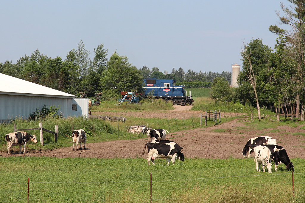
PGR 40, L1, North of Bloomer, WI

O'Neil Creek Flowage

Chippewa Moraine State Recreation Area

Burnt Wagon Lake

Ice-Age Trail

Ice-Age Trail & Horseshoe Lake

Chippewa Moraine State Recreation Area

Ice-Age Trail

Garlic Mustard (Alliaria petiolata)

Ice-Age Trail

Chalk-Fronted Corporal (Ladona julia), with a meal

Ice-Age Trail/Horseshoe Lake

Ice-Age Trail

North of North Shattuck Lake State Natural Area

Chippewa Moraine State Recreation Area

Ice-Age Trail/Horseshoe Lake

Ice Age Trail
Topographic Map of 17th Ave, Bloomer, WI, USA
Find elevation by address:

Places near 17th Ave, Bloomer, WI, USA:
1418 17th Ave
1406 Duncan Rd
1402 Duncan Rd
1416 Duncan Rd
1407 Duncan Rd
1425 Duncan Rd
Bloomer
915 Main Ct S
1939 Lake Shore Dr
Woodmohr
7001 142nd Ave
Bloomer
10501 230th Ave
County Hwy Q, Chippewa Falls, WI, USA
E Main St, New Auburn, WI, USA
13394 Co Hwy M
27950 110th St
Sampson
Chetek
N3370
Recent Searches:
- Elevation of Mamala II, Sariaya, Quezon, Philippines
- Elevation of Sarangdanda, Nepal
- Elevation of 7 Waterfall Way, Tomball, TX, USA
- Elevation of SW 57th Ave, Portland, OR, USA
- Elevation of Crocker Dr, Vacaville, CA, USA
- Elevation of Pu Ngaol Community Meeting Hall, HWHM+3X7, Krong Saen Monourom, Cambodia
- Elevation of Royal Ontario Museum, Queens Park, Toronto, ON M5S 2C6, Canada
- Elevation of Groblershoop, South Africa
- Elevation of Power Generation Enterprises | Industrial Diesel Generators, Oak Ave, Canyon Country, CA, USA
- Elevation of Chesaw Rd, Oroville, WA, USA