Elevation of 17 Deer Trail Rd, Killaloe, ON K0J 2A0, Canada
Location: Canada > Ontario > Renfrew County > Killaloe, Hagarty And Richards > Killaloe >
Longitude: -77.573190
Latitude: 45.6458872
Elevation: 171m / 561feet
Barometric Pressure: 99KPa
Elevation Map:
Satellite Map:
Related Photos:

life and decay
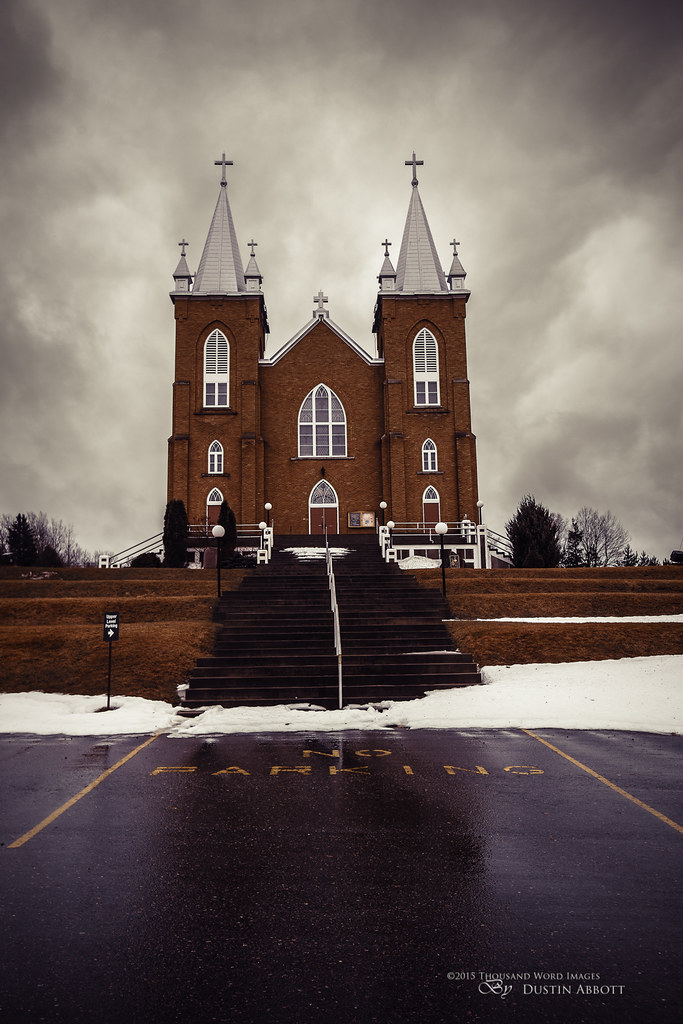
St. Mary's, Wilno
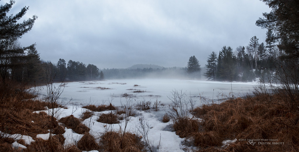
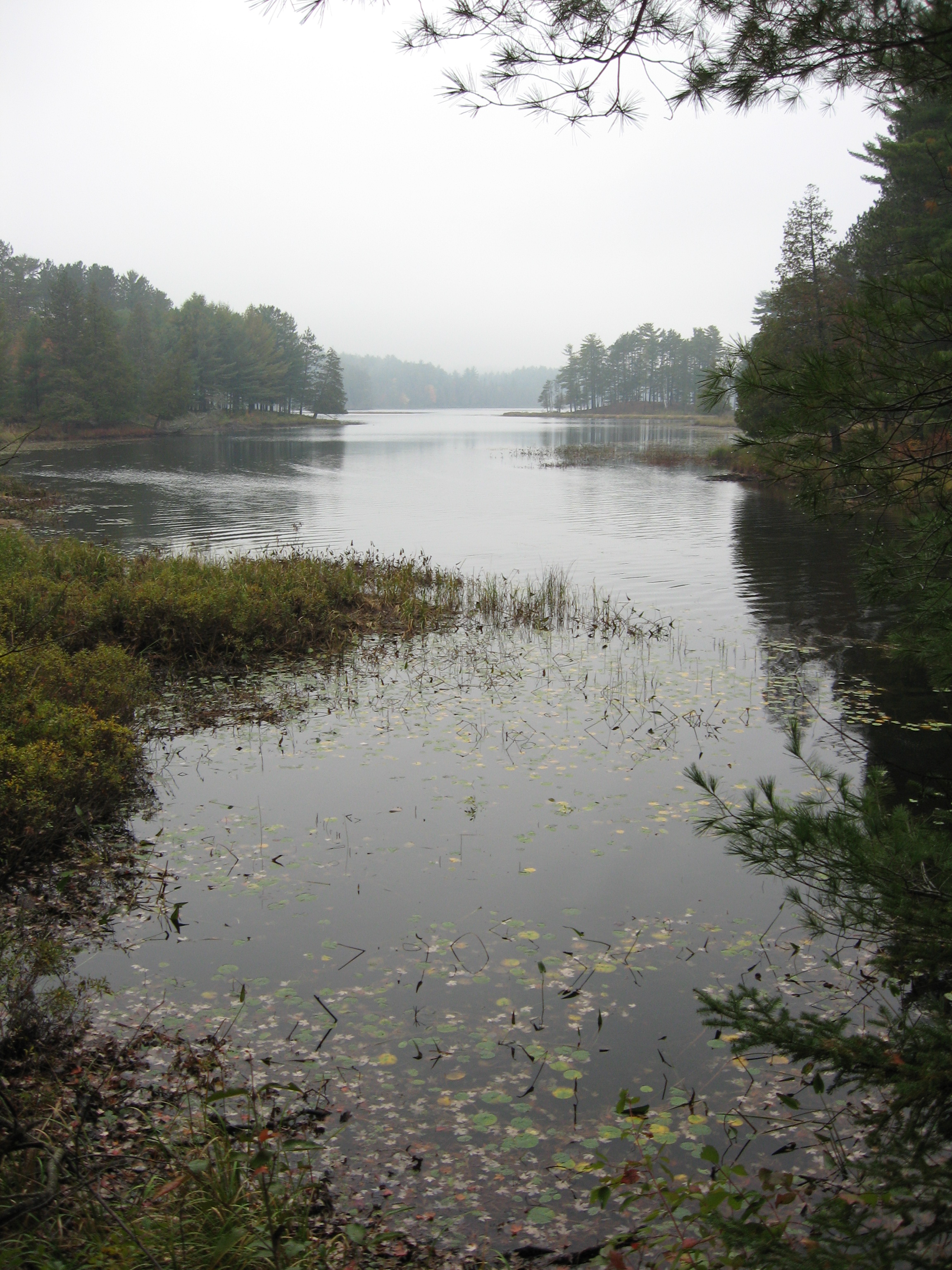
One Misty Afternoon
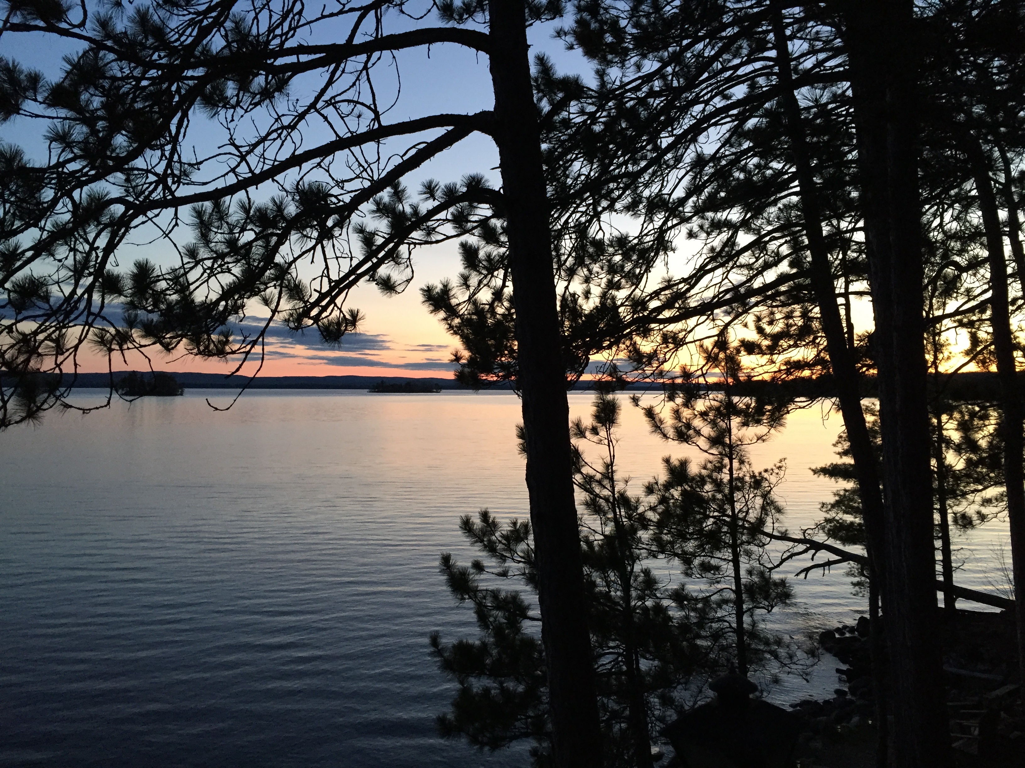
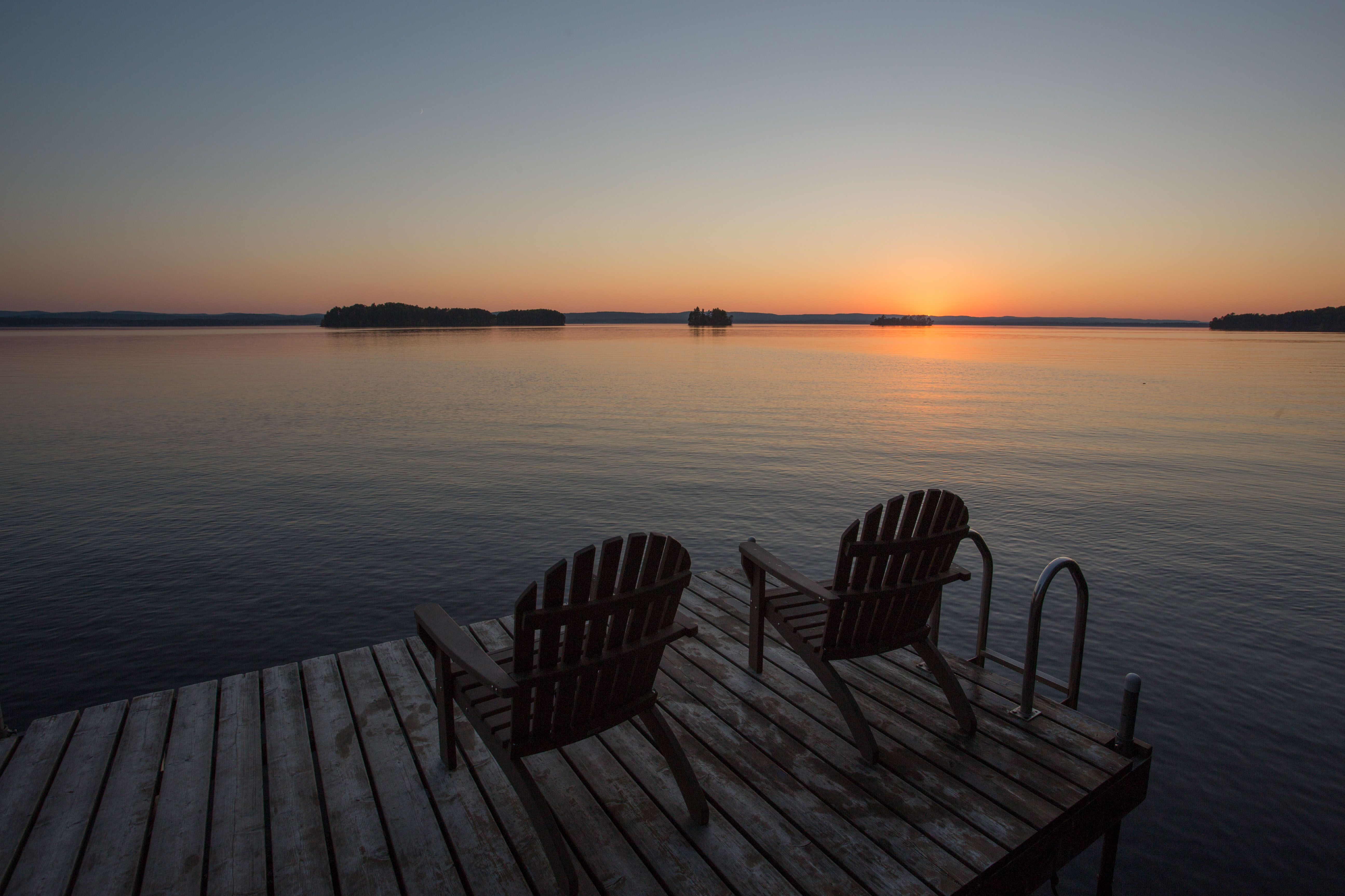
Cottage view
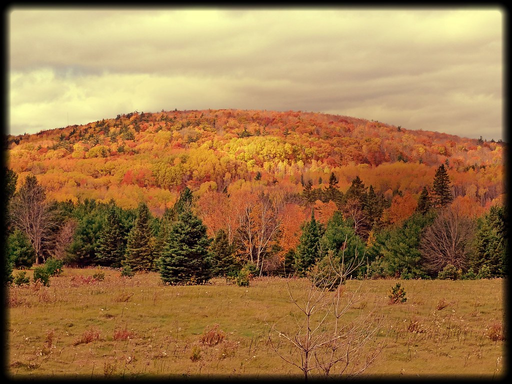
Fall colors in full bloom.
Cottage near Algonquin
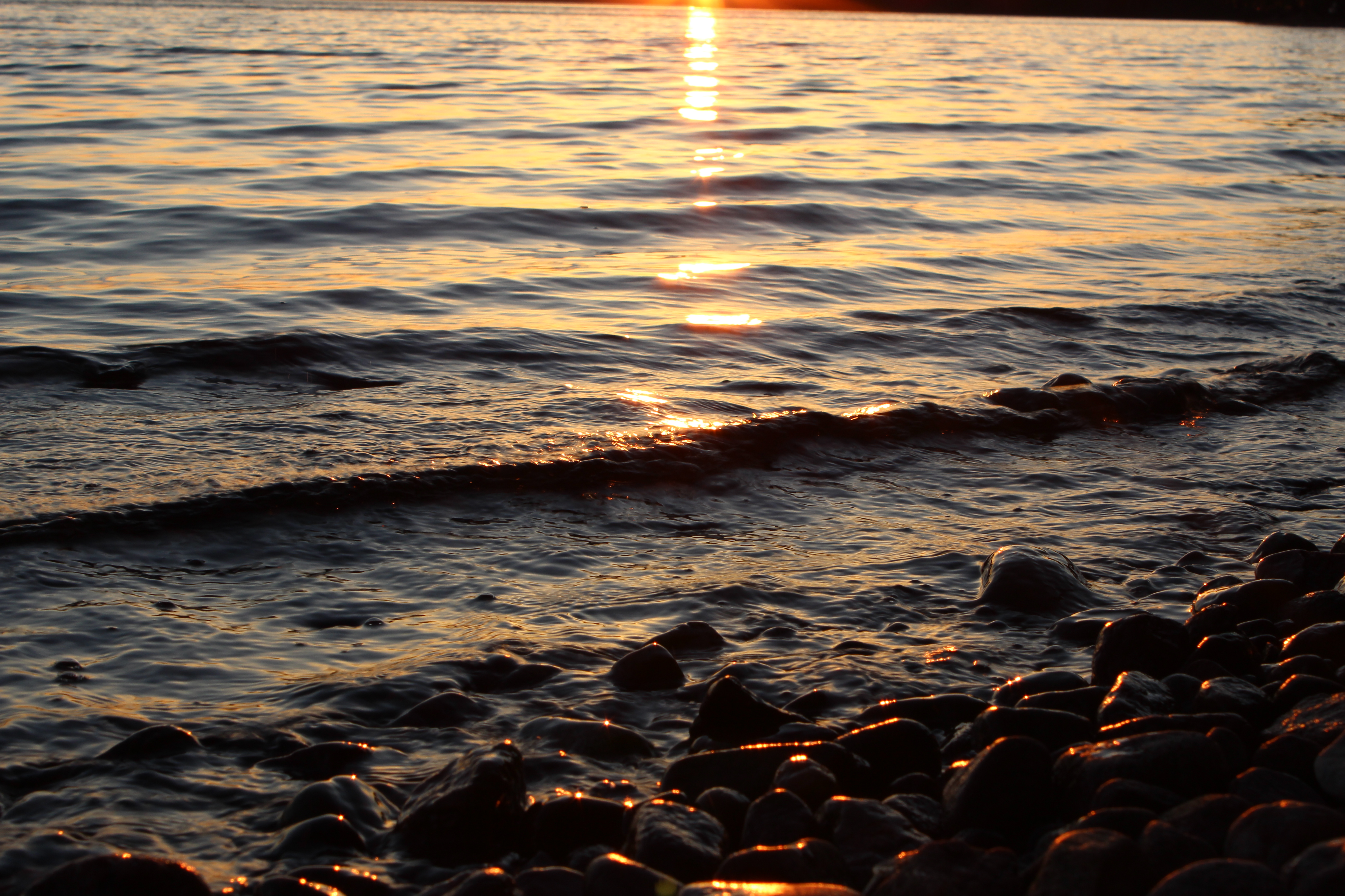
gently lapping
White Mountain Narrows
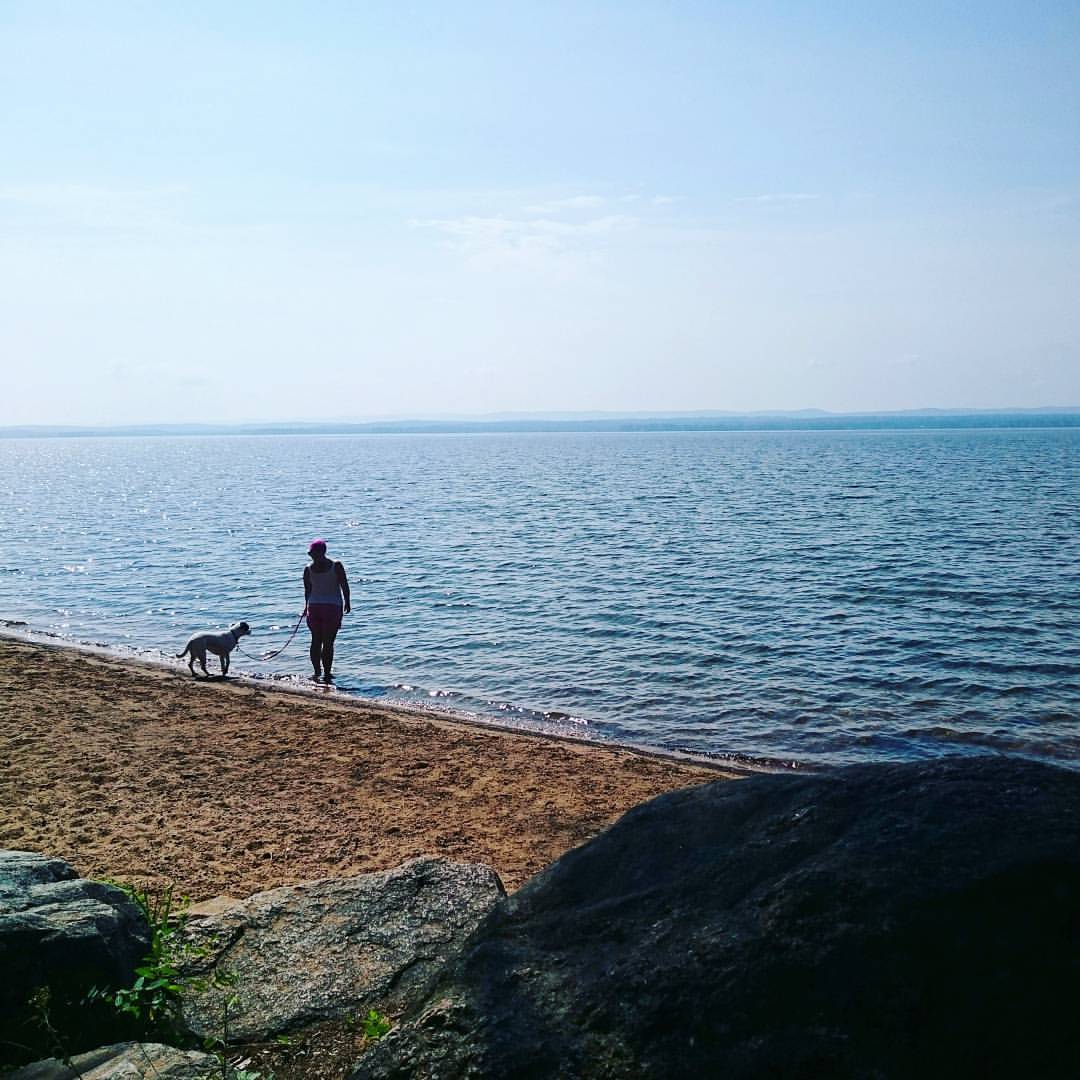
Quick stop for a walk on the #beach in Deacon. Now onwards to Killarney.
Topographic Map of 17 Deer Trail Rd, Killaloe, ON K0J 2A0, Canada
Find elevation by address:

Places near 17 Deer Trail Rd, Killaloe, ON K0J 2A0, Canada:
3493 Round Lake Rd
98 Recoskie Ln
Round Lake
Round Lake Centre
2423 Simpson Pit Rd
Killaloe, Hagarty And Richards
279 Murak Flis Rd
Wilno
1064 Church St
14 Shalla St
1176 Kuiack Rd
3191 Mountain View Rd
3094 Mountain View Rd
K0j 1b0
19162 On-60
19162 On-60
19162 On-60
19162 On-60
19162 On-60
19162 On-60
Recent Searches:
- Elevation of Holloway Ave, San Francisco, CA, USA
- Elevation of Norfolk, NY, USA
- Elevation of - San Marcos Pass Rd, Santa Barbara, CA, USA
- Elevation of th Pl SE, Issaquah, WA, USA
- Elevation of 82- D Rd, Captain Cook, HI, USA
- Elevation of Harlow CM20 2PR, UK
- Elevation of Shenyang Agricultural University, Dong Ling Lu, Shen He Qu, Shen Yang Shi, Liao Ning Sheng, China
- Elevation of Alpha Dr, Melbourne, FL, USA
- Elevation of Hiroshima University, 1-chōme-3-2 Kagamiyama, Higashihiroshima, Hiroshima -, Japan
- Elevation of Bernina Dr, Lake Arrowhead, CA, USA