Elevation of 16 Uncle Israel's Rd, Orleans, MA, USA
Location: United States > Massachusetts > Barnstable County > Orleans Town > Orleans >
Longitude: -69.98951
Latitude: 41.7472537
Elevation: 11m / 36feet
Barometric Pressure: 101KPa
Elevation Map:
Satellite Map:
Related Photos:

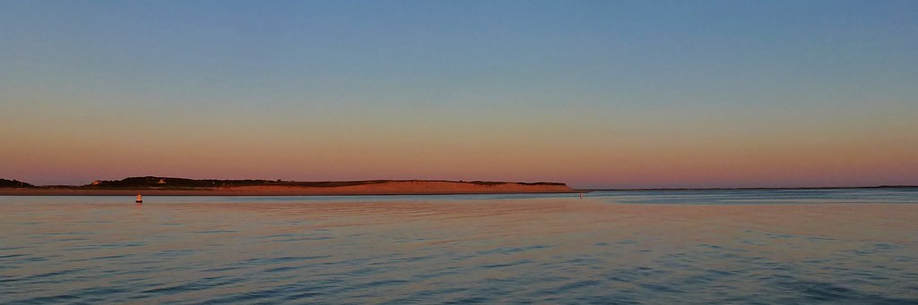
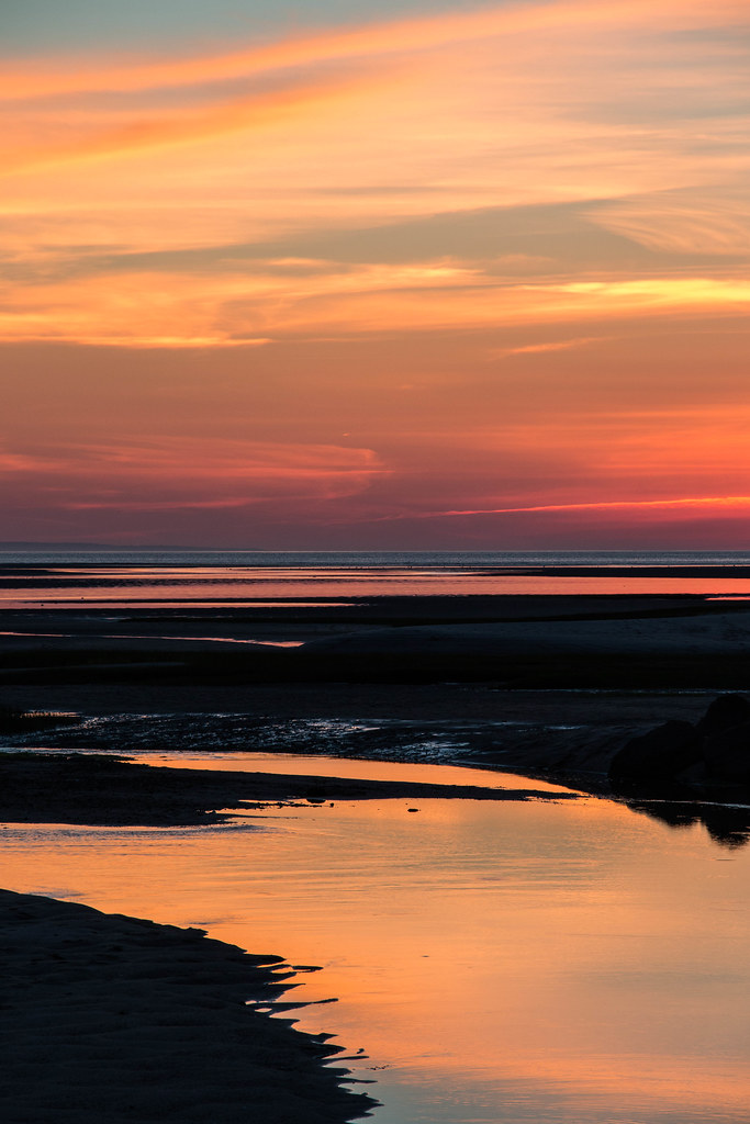
Marsh View at Sunset

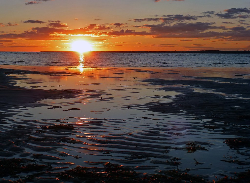
Sunset By The Dunes
Stage Harbor Channel

Fog With A Bit Of Color

Nauset Light - Eastham - Cape Cod
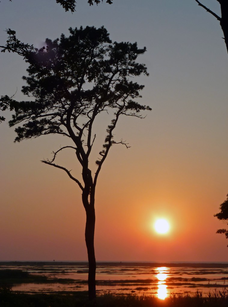
Lone Tree at Sunset

Stars Over Fort Hill
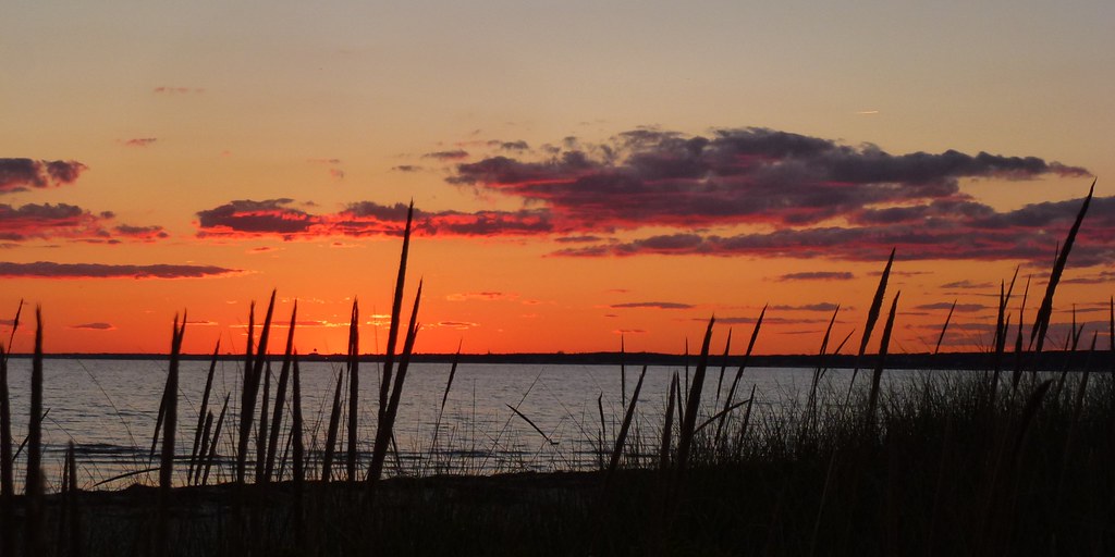
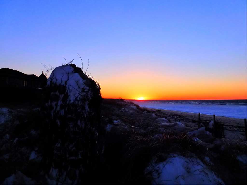
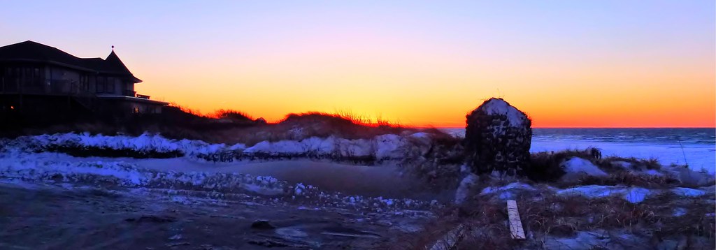
Red Sky View from Grasses

Pay-Per-View: Chatham Style
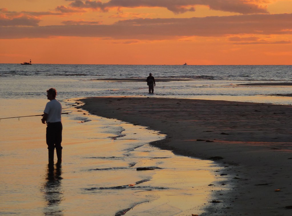
Surf Fishing at Sunset 2
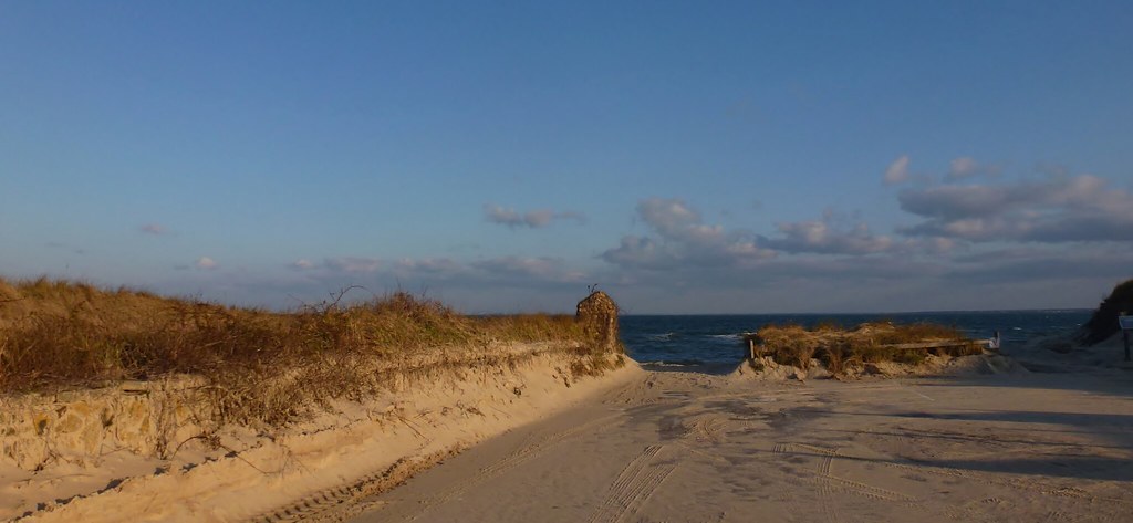
Beach Parking
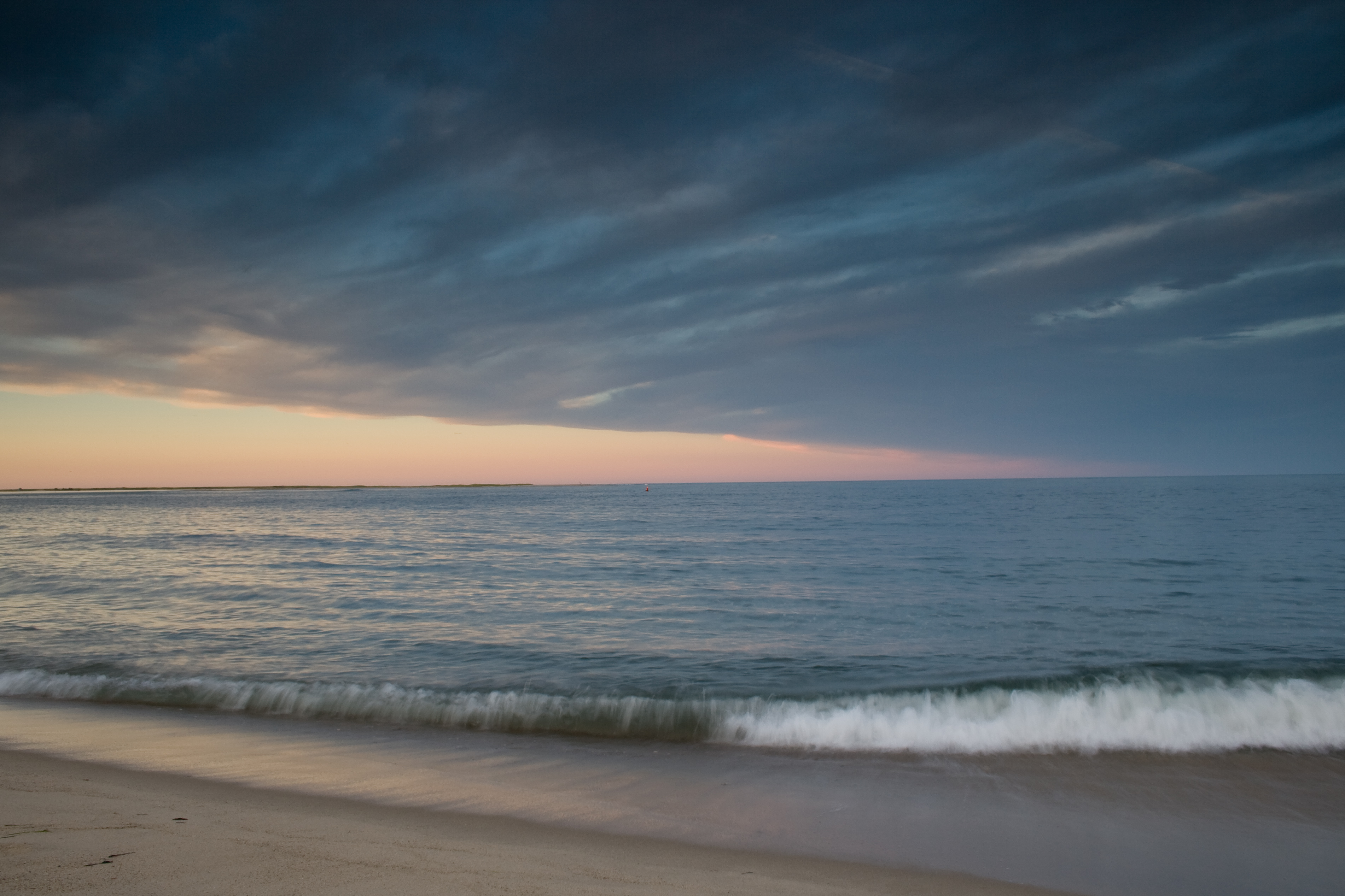
Weather front
Linger By The Beach - Explored 3/6/13

Sunset View from the Chairs II
Linger View

Beach View
Linger By The Shore
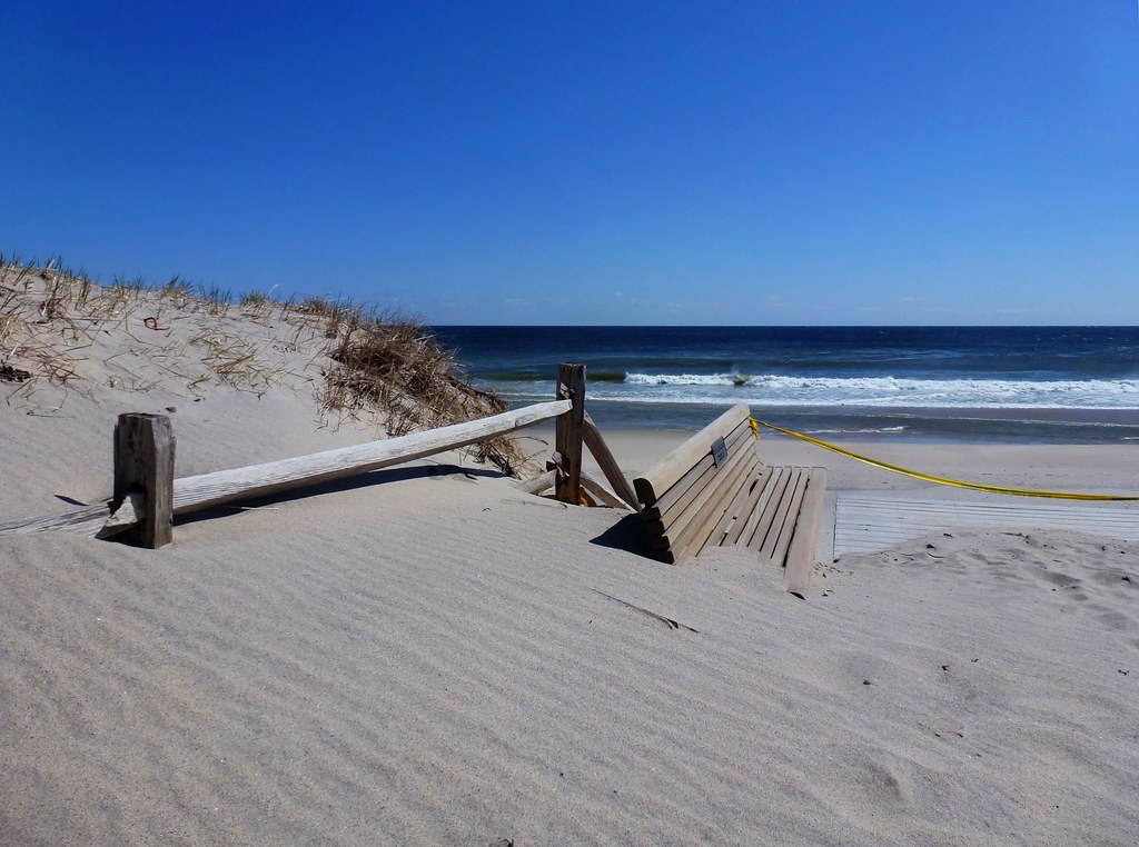
Sand Covered

View from the backyard

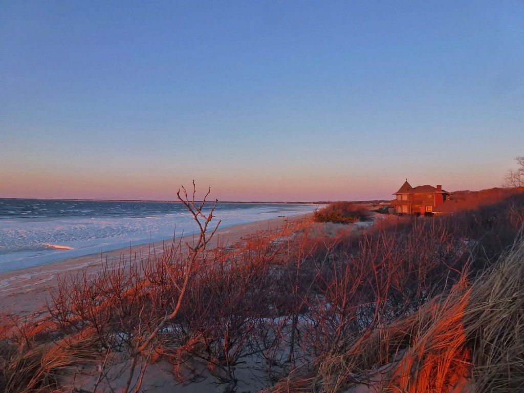
Sunset Beach View
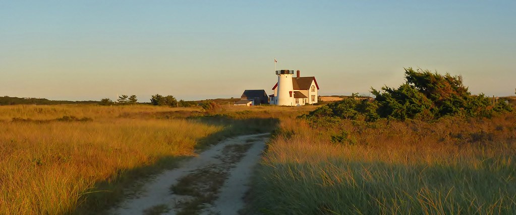
The Path to Stage Harbor Lighthouse
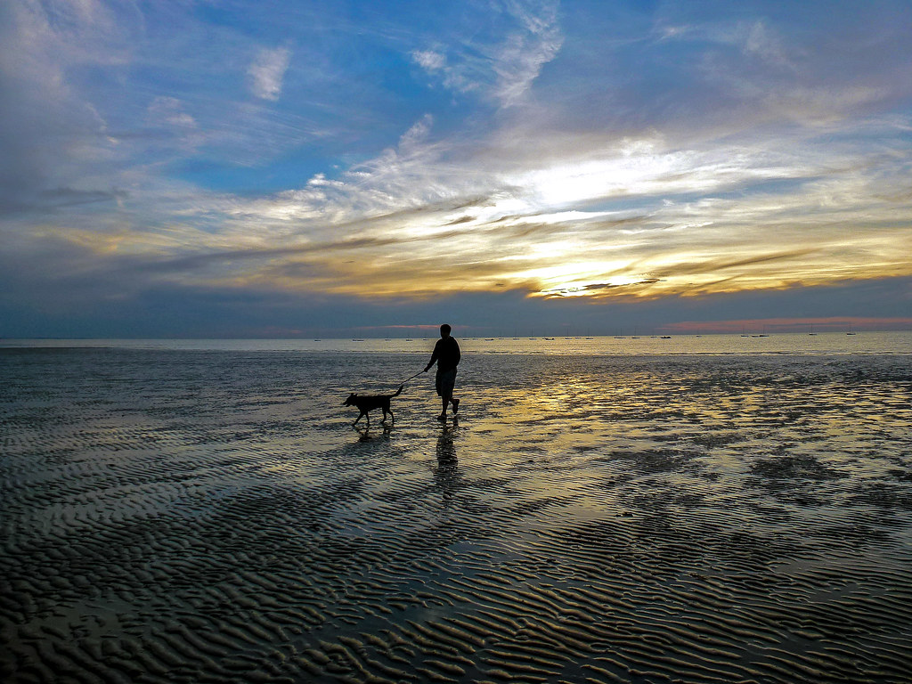
Trotting Down The Beach

Brewster Grist Mill Cape Cod

Brewster Flats On A Sunny Day
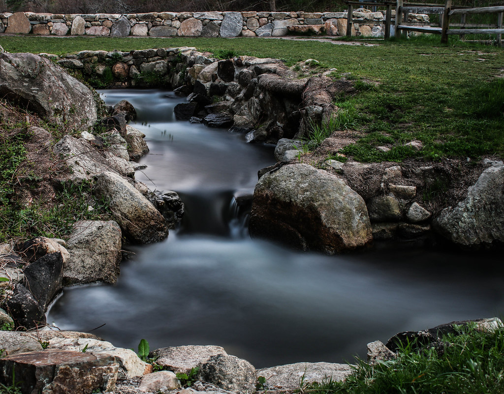
Herring Run - Brewster
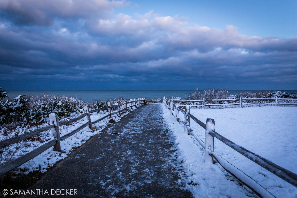
The Desolate Path to the Ocean

Heading Home
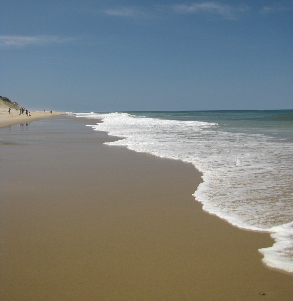
Wellfleet Shoreline
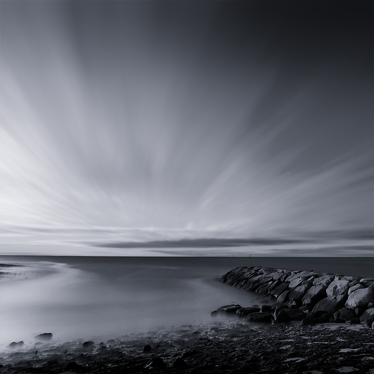
Rock Harbor Creek Breakwater

Beauty and Erosion - Explored Feburary 27, 2013
Windstorm Shadows
Stage Harbor Light House

Fisherman's Catch
Gone Part I
Liquid Gold
Paines Creek
Sunset at Stage Harbor
Rock Harbor - Orleans
Topographic Map of 16 Uncle Israel's Rd, Orleans, MA, USA
Find elevation by address:

Places near 16 Uncle Israel's Rd, Orleans, MA, USA:
16 Uncle Israel's Rd
16 Grannys Ln
9 Aunt Abigails Way
23 Timberlane Dr
Wequassett Resort And Golf Club
210 Crows Pond Rd
156 Crows Pond Rd
70 Fox Hill Rd
7 Easy St
36 Sea Cove Rd
202 Eastward Rd
Old Salt Works Rd, Chatham, MA, USA
85 A Leonard Way
218 Woodland Way
188 Woodland Way
121 Middle Rd
44 Woodland Way
44 Woodland Way
90 Oval Rd
55 Bellamy Ln
Recent Searches:
- Elevation of 7 Waterfall Way, Tomball, TX, USA
- Elevation of SW 57th Ave, Portland, OR, USA
- Elevation of Crocker Dr, Vacaville, CA, USA
- Elevation of Pu Ngaol Community Meeting Hall, HWHM+3X7, Krong Saen Monourom, Cambodia
- Elevation of Royal Ontario Museum, Queens Park, Toronto, ON M5S 2C6, Canada
- Elevation of Groblershoop, South Africa
- Elevation of Power Generation Enterprises | Industrial Diesel Generators, Oak Ave, Canyon Country, CA, USA
- Elevation of Chesaw Rd, Oroville, WA, USA
- Elevation of N, Mt Pleasant, UT, USA
- Elevation of 6 Rue Jules Ferry, Beausoleil, France