Elevation of 16 Sunset Dr, Point Leamington, NL, Canada
Location: Canada > Newfoundland And Labrador > Division No. 8 > Point Leamington >
Longitude: -55.409756
Latitude: 49.320517
Elevation: 14m / 46feet
Barometric Pressure: 101KPa
Elevation Map:
Satellite Map:
Related Photos:
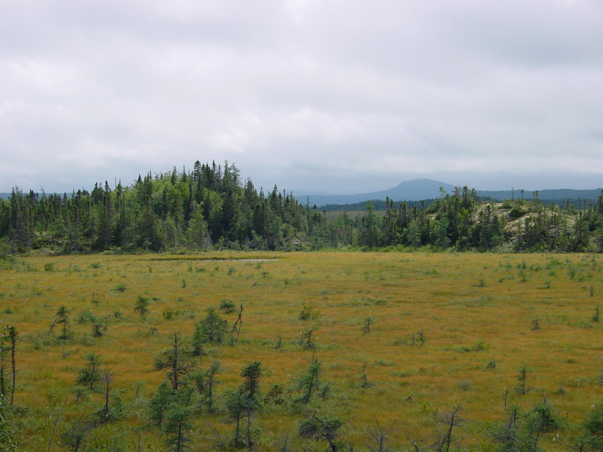
Moose Habitat
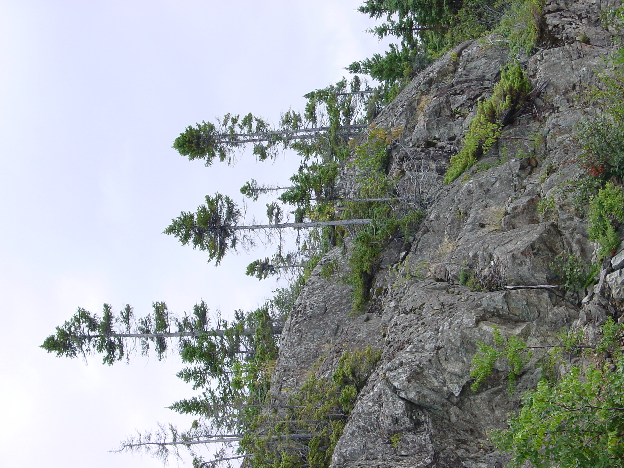
Newfoundland Hillside

Porno ailée. Souvenir plus sauvage d'#hirondelles bicolores, un beau jour de printemps au Labrador. #love #swallow
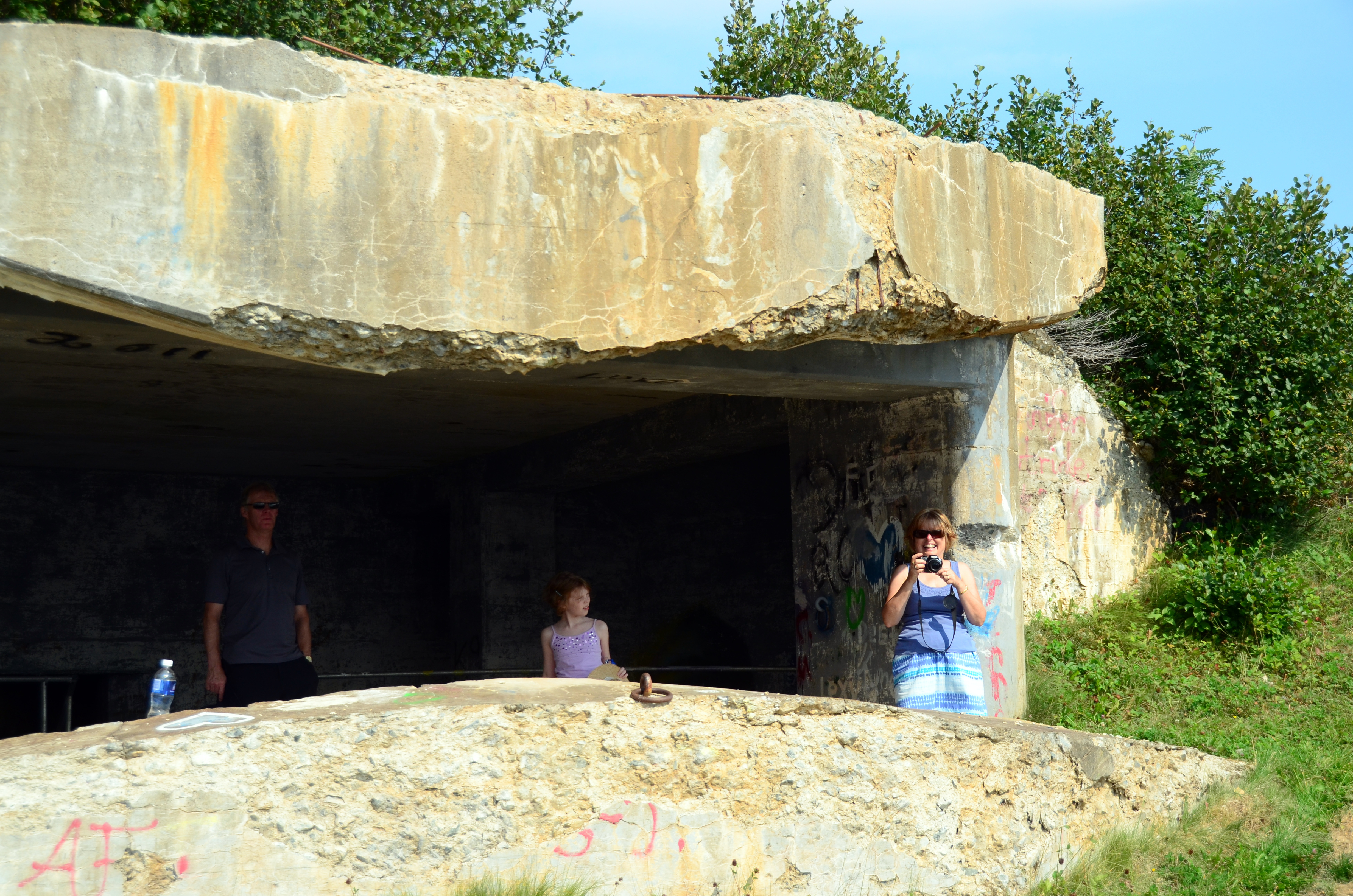
Phillips Head Gun Emplacement
Topographic Map of 16 Sunset Dr, Point Leamington, NL, Canada
Find elevation by address:

Places near 16 Sunset Dr, Point Leamington, NL, Canada:
Point Leamington
40 Moores Cove Rd, Division No. 8, Subd. E, NL, Canada
Division No. 8, Subd. E
Triton
71 Simms Ln, Triton, NL A0J 1V0, Canada
Hwy, Brighton, NL A0J 1B0, Canada
Little Burnt Bay
Hwy, Little Burnt Bay, NL A0G 3B0, Canada
11 Pine Ave
11 Pine Ave
11 Pine Ave
8 Station Rd, Lewisporte, NL A0G 3A0, Canada
Lewisporte
2 Rowsell's Rd, Miles Cove, NL A0J 1L0, Canada
Miles Cove
Bob Clark Dr, Campbellton, NL A0G 1L0, Canada
Campbellton
Beachside
14 Backcove Rd, Beachside, NL A0J, Canada
37 NL-, Beachside, NL A0J, Canada
Recent Searches:
- Elevation of Corso Fratelli Cairoli, 35, Macerata MC, Italy
- Elevation of Tallevast Rd, Sarasota, FL, USA
- Elevation of 4th St E, Sonoma, CA, USA
- Elevation of Black Hollow Rd, Pennsdale, PA, USA
- Elevation of Oakland Ave, Williamsport, PA, USA
- Elevation of Pedrógão Grande, Portugal
- Elevation of Klee Dr, Martinsburg, WV, USA
- Elevation of Via Roma, Pieranica CR, Italy
- Elevation of Tavkvetili Mountain, Georgia
- Elevation of Hartfords Bluff Cir, Mt Pleasant, SC, USA