Elevation of 16 Knott Ave, Sandwich, MA, USA
Location: United States > Massachusetts > Barnstable County > Sandwich > Sandwich > Sandwich >
Longitude: -70.492955
Latitude: 41.771211
Elevation: 3m / 10feet
Barometric Pressure: 101KPa
Elevation Map:
Satellite Map:
Related Photos:

Stormy Skies Over the Sandwich Boardwalk"
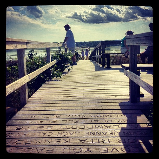
Dad looks at the marshland view from the end of the boardwalk.
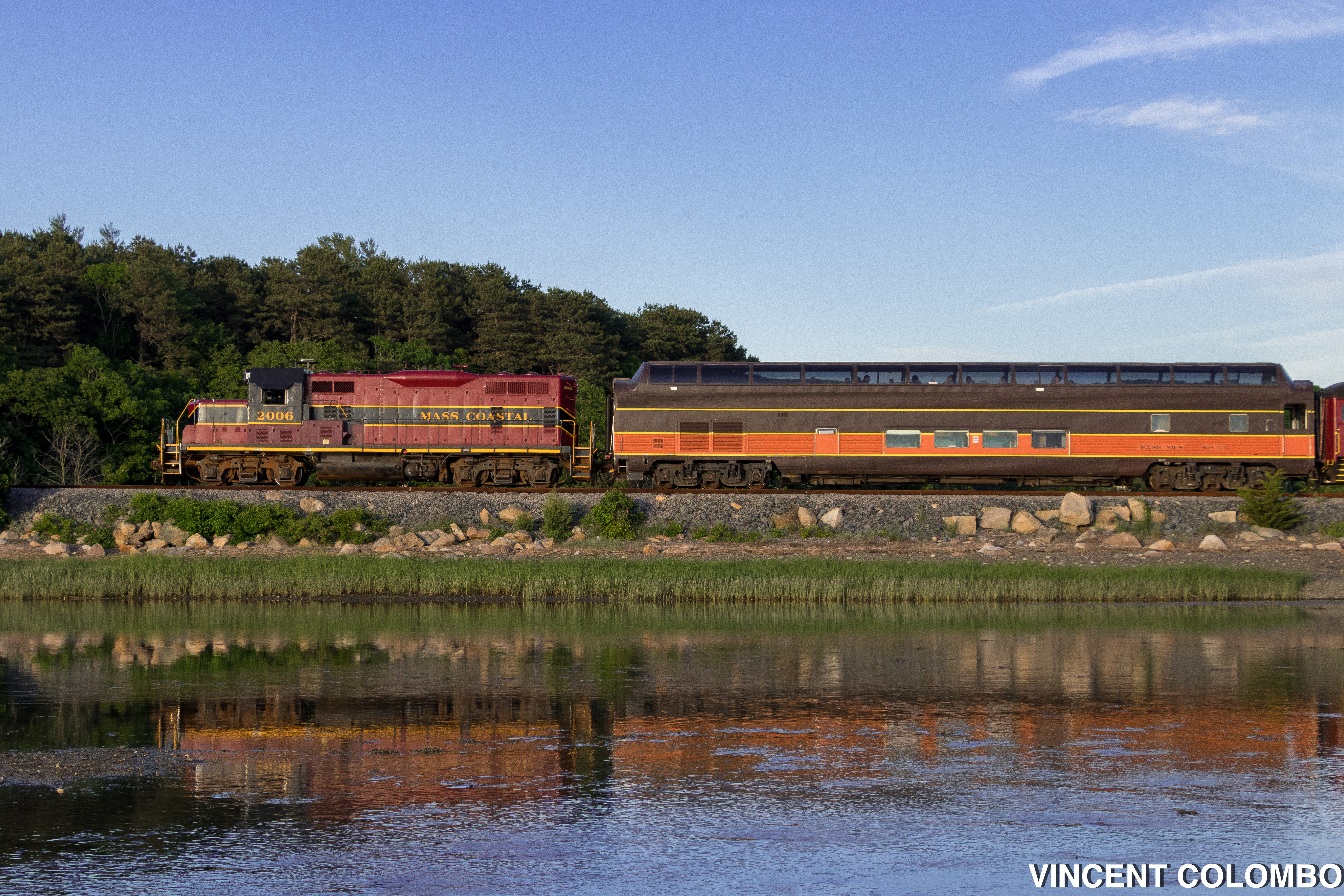
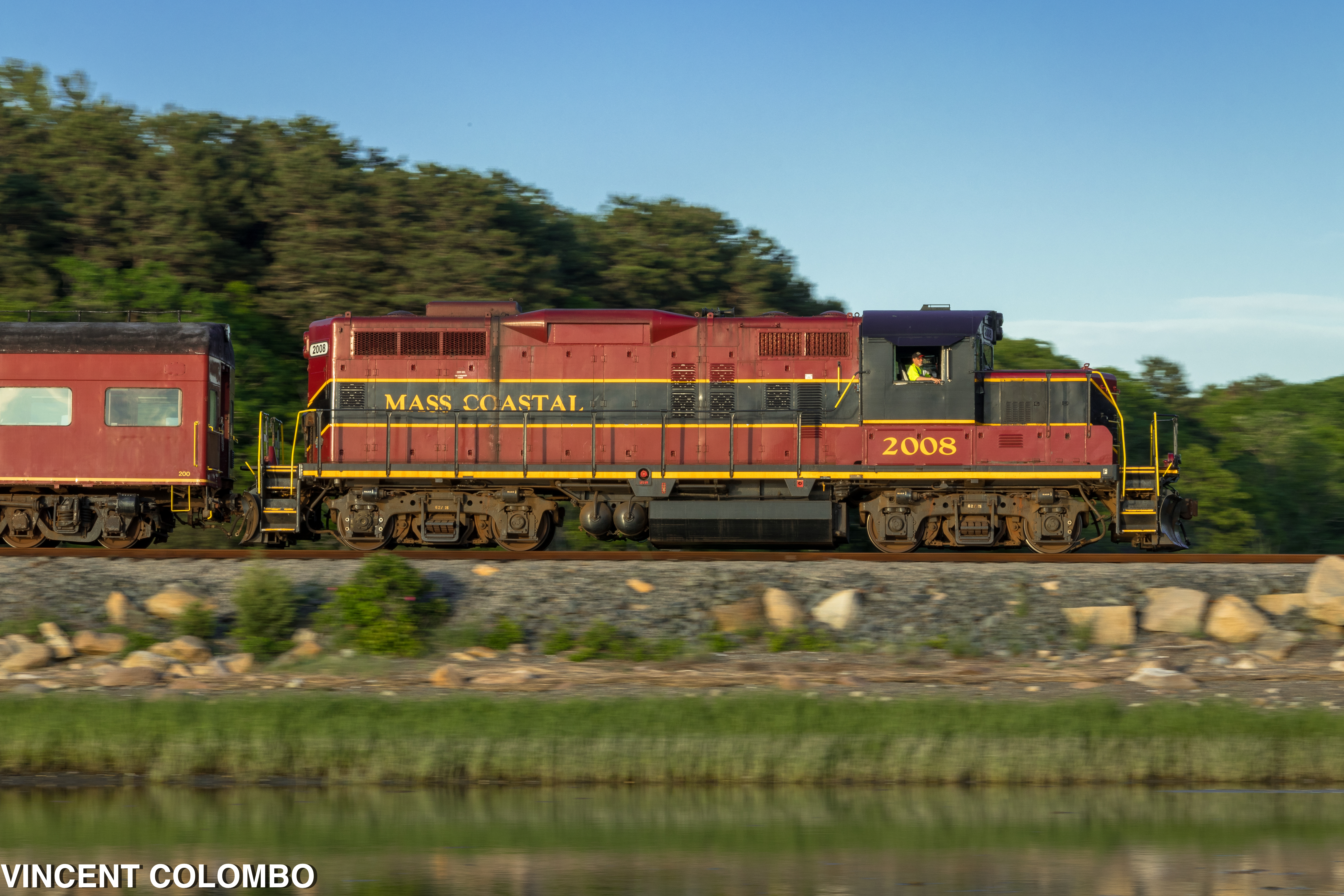
Santa Fe's Cape Cod Subdivision

Painted Bunting
Dinner With a View

Savannah Sparrow (Passerculus sandwichensis princeps) - Ipswich form - dorsal view

in the harbor. . . .
A Different View

Our view during #dinner last night. #Horizons restaurant at the end of the #CapeCod Canal in #Sandwich #massachusetts #instatraveling #instagram #instalike #capecodlife #bestofcapecod #travel

Monument Beach Re-edit
Front Row Seating

Atlas checks out the view
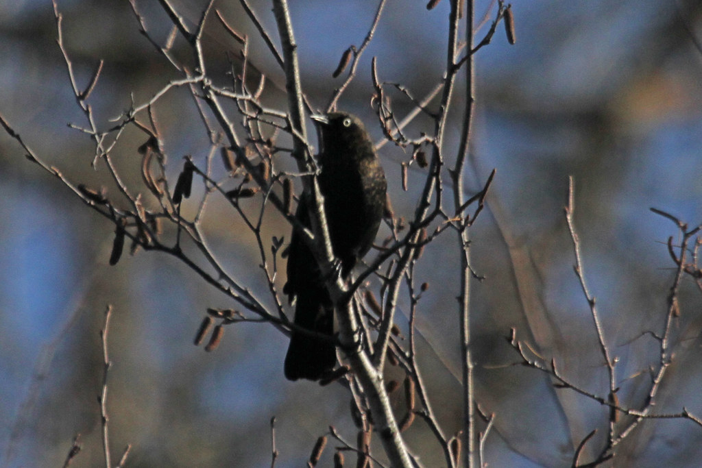
Rusty Blackbird
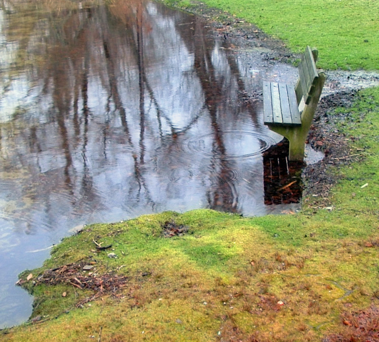
Shawme Pond
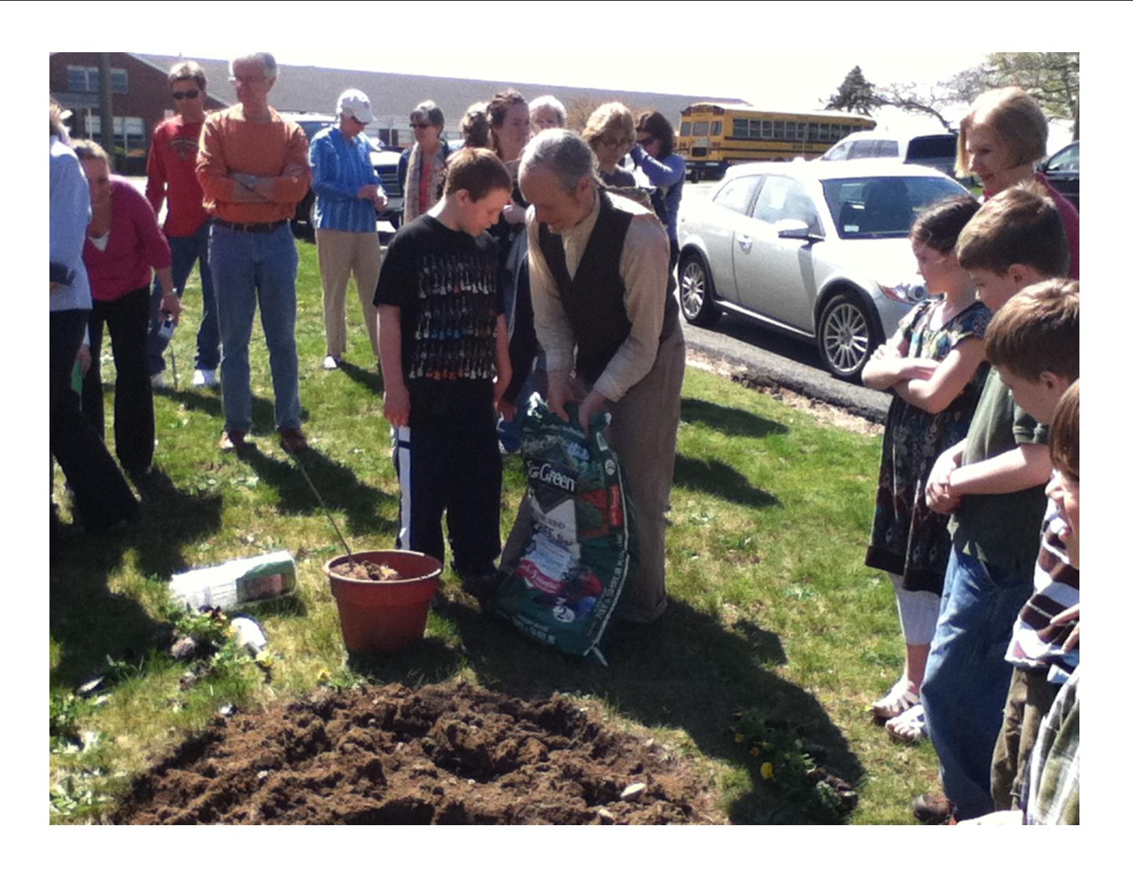
After Peebles Elementary School Arbor Day Assembly, school children, GC members, parents , community leaders viewed Aptucxet junior gardeners plant 3 Catalpa saplings, assisted by historian John York
Harlequin Duck

Painted Bunting

Clouded Beach
King Eider s DSC_1624
Lawsbogs11-10
Sandwich, MA.

The Lonely Road
Barnstable Harbor
2013-01-02 14.59.21

Storm over the Water
Sandyneck Morning

DSC_8588-Pano
SANDWICH CLOUDS ONE NAE

Scusset Beach Sunset

Sunset from Scusset Beach Jetty

Stormy Sunset

Sunset at Scusset Beach

Scusset Beach Sunset

Scusset Beach Jetty

Need A Northbound

Vernal Reflections

Red Light

Golden Sunset

cranberry bog harvest at sunset

Boardwalk Beach

Mashnee Island from Monument Beach
En route to Martha's Vineyard
Topographic Map of 16 Knott Ave, Sandwich, MA, USA
Find elevation by address:

Places near 16 Knott Ave, Sandwich, MA, USA:
7 Chadwell Ave
7 Chadwell Ave
4 Tupper Ave
6 Burg Ave
88 Knott Ave
11 State St
9 State St
11 Willow St
100 Tupper Rd
25 Ed Moffitt Dr
71 Tupper Rd
Sandwich
Sandwich
119 Tupper Rd
13 Liberty St
Sandwich Pizza House
Phillips Road
Dale Terrace
10 Grove St
17 Grove St
Recent Searches:
- Elevation of Steadfast Ct, Daphne, AL, USA
- Elevation of Lagasgasan, X+CQH, Tiaong, Quezon, Philippines
- Elevation of Rojo Ct, Atascadero, CA, USA
- Elevation of Flagstaff Drive, Flagstaff Dr, North Carolina, USA
- Elevation of Avery Ln, Lakeland, FL, USA
- Elevation of Woolwine, VA, USA
- Elevation of Lumagwas Diversified Farmers Multi-Purpose Cooperative, Lumagwas, Adtuyon, RV32+MH7, Pangantucan, Bukidnon, Philippines
- Elevation of Homestead Ridge, New Braunfels, TX, USA
- Elevation of Orchard Road, Orchard Rd, Marlborough, NY, USA
- Elevation of 12 Hutchinson Woods Dr, Fletcher, NC, USA