Elevation of 16 Depina Dr, Wamuran QLD, Australia
Location: Australia > Queensland > Moreton Bay Regional >
Longitude: 152.857294
Latitude: -27.060282
Elevation: 46m / 151feet
Barometric Pressure: 101KPa
Elevation Map:
Satellite Map:
Related Photos:
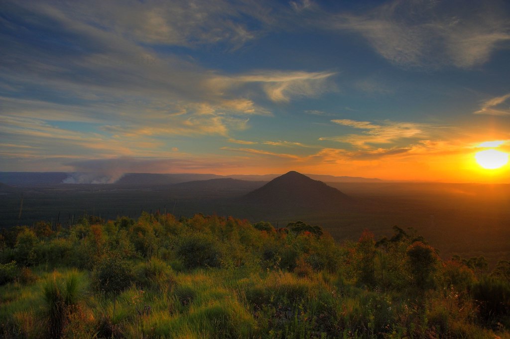
Fire in the Mountains
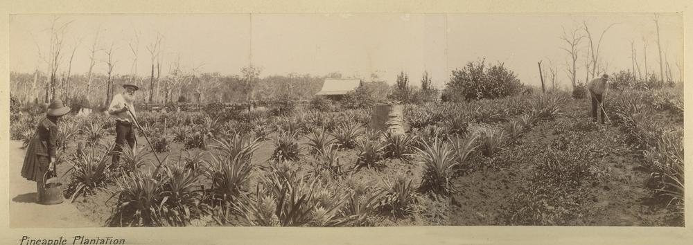
Pineapple plantation at Caboolture
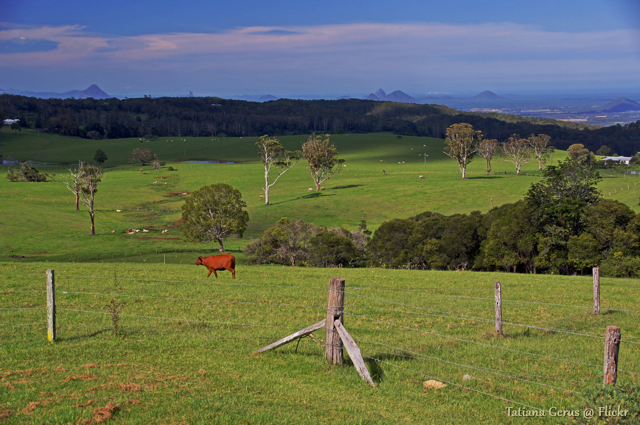
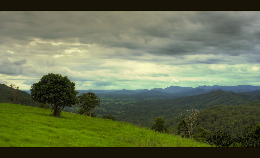
Queensland pasture scenery with Glass House Mountains view with notes (2 photos)
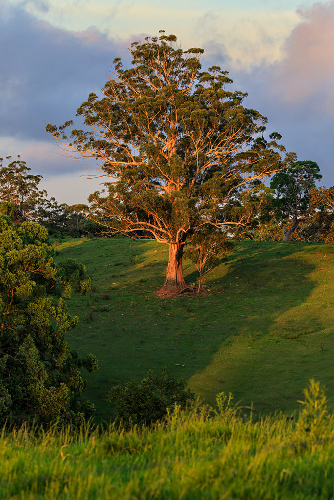
Glowing Tree
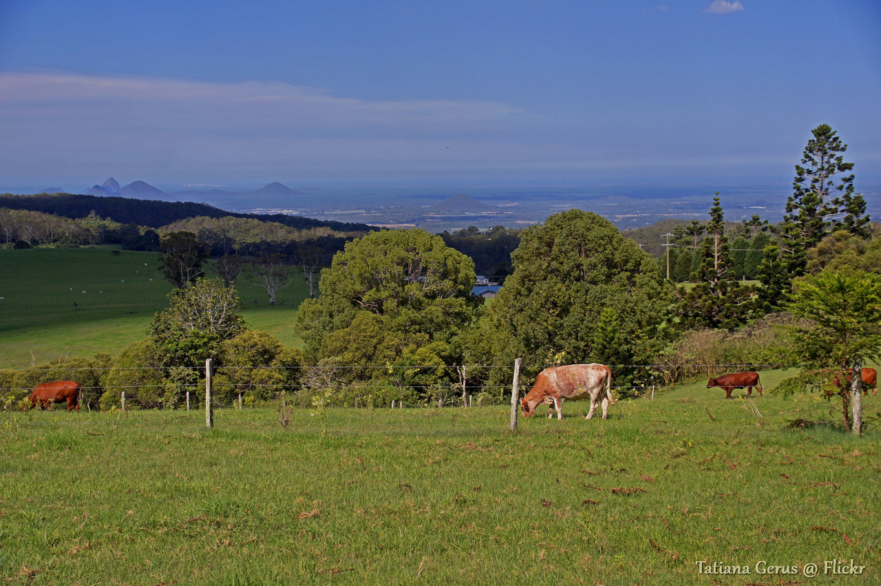
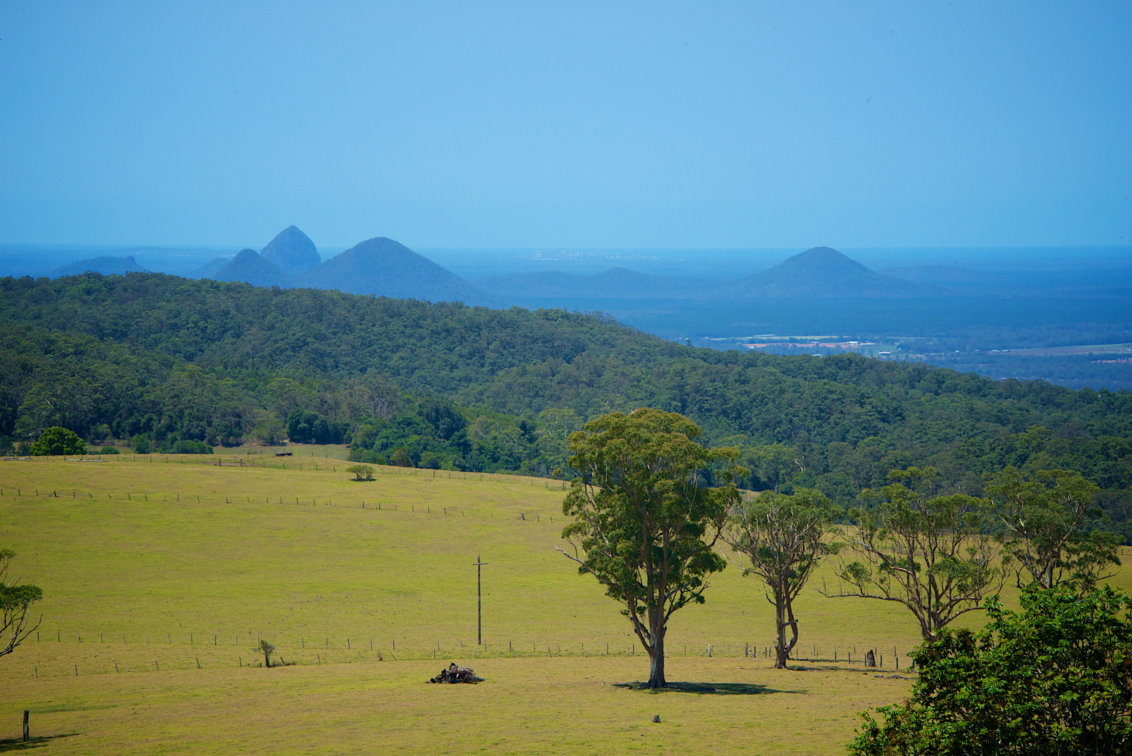
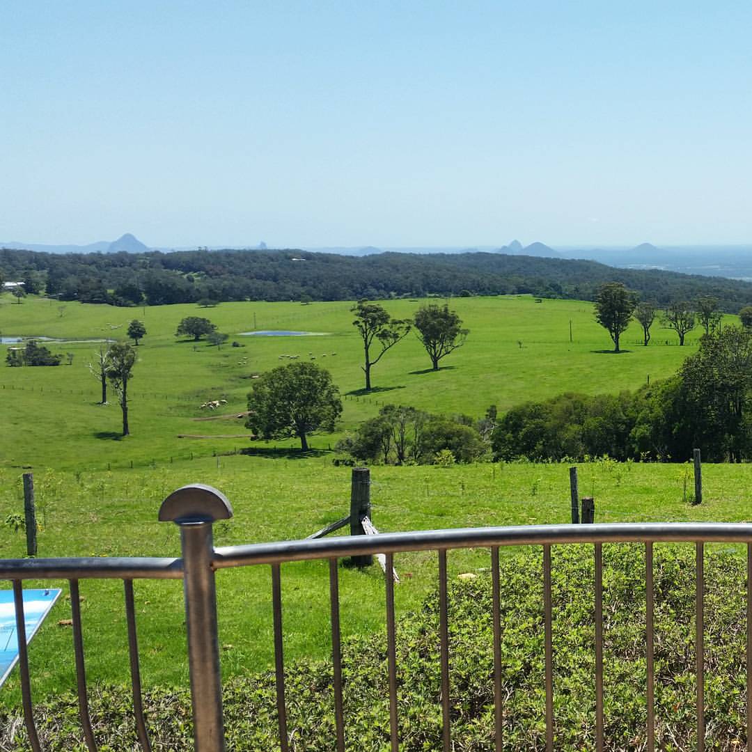
Queensland Pasture scenery with Glass House Mountains view.
Beautiful Heart
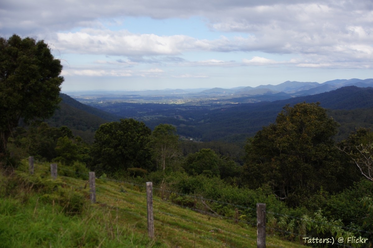
View to Brisbane from Mount Mee road
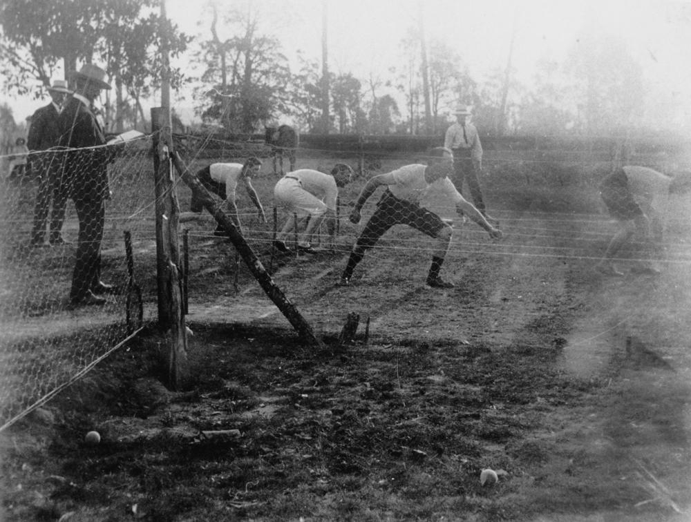
Athletics at Woodford
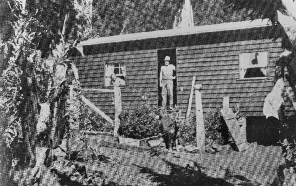
Banana farmer at Mount Pleasant, Queensland
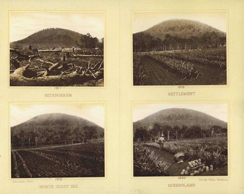
Rural views of Beerburrum from the centre of a Christmas card produced by the Department of Public Lands, Brisbane, 1920
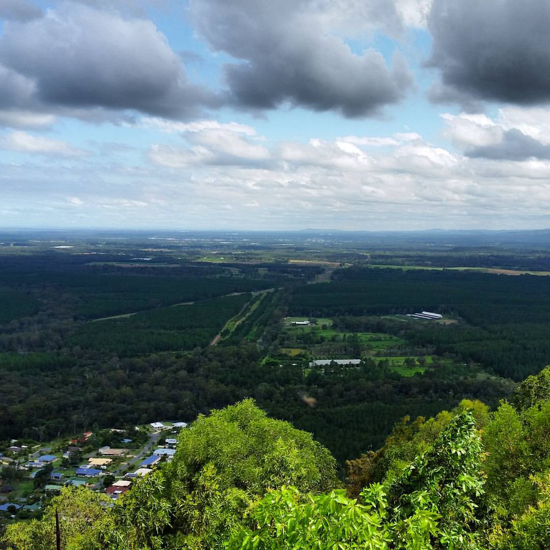
Looking out over the Mt Pleasant and Dayboro areas.
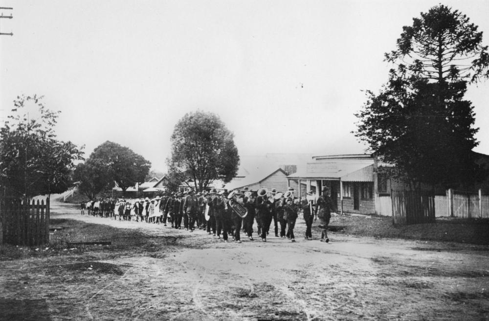
Anzac Day Caboolture 1921
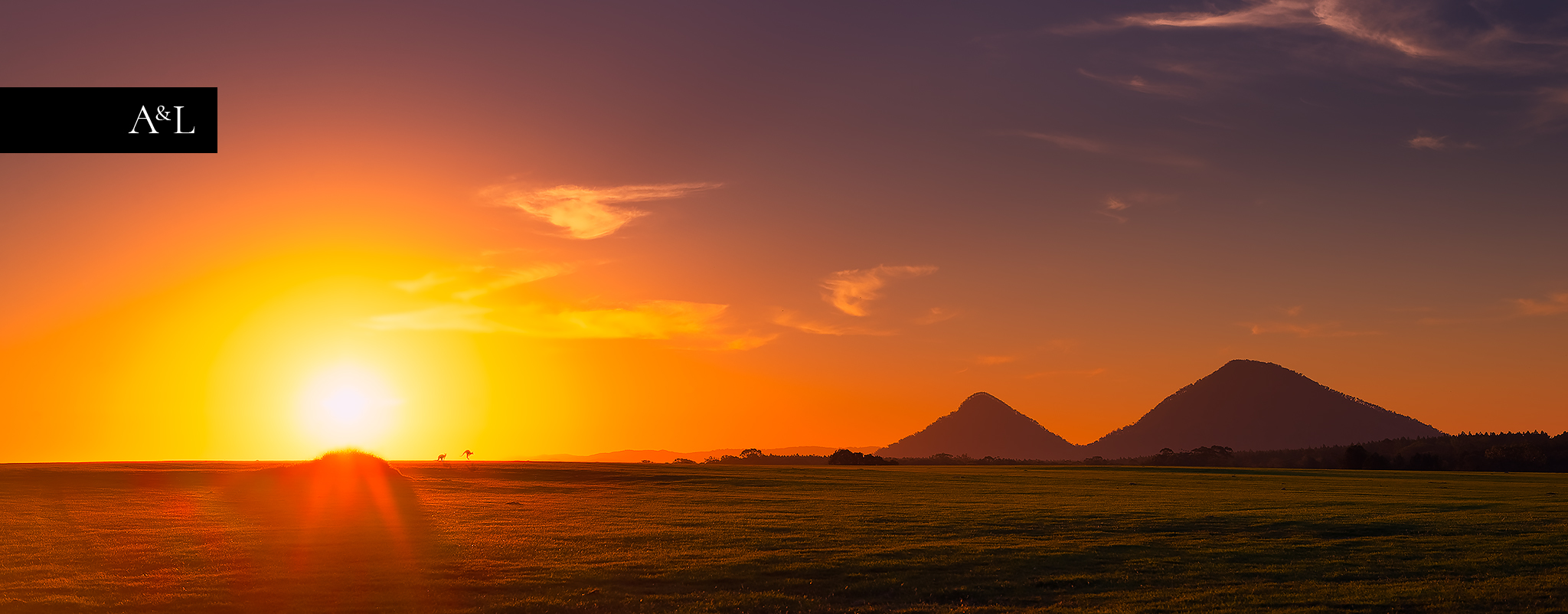
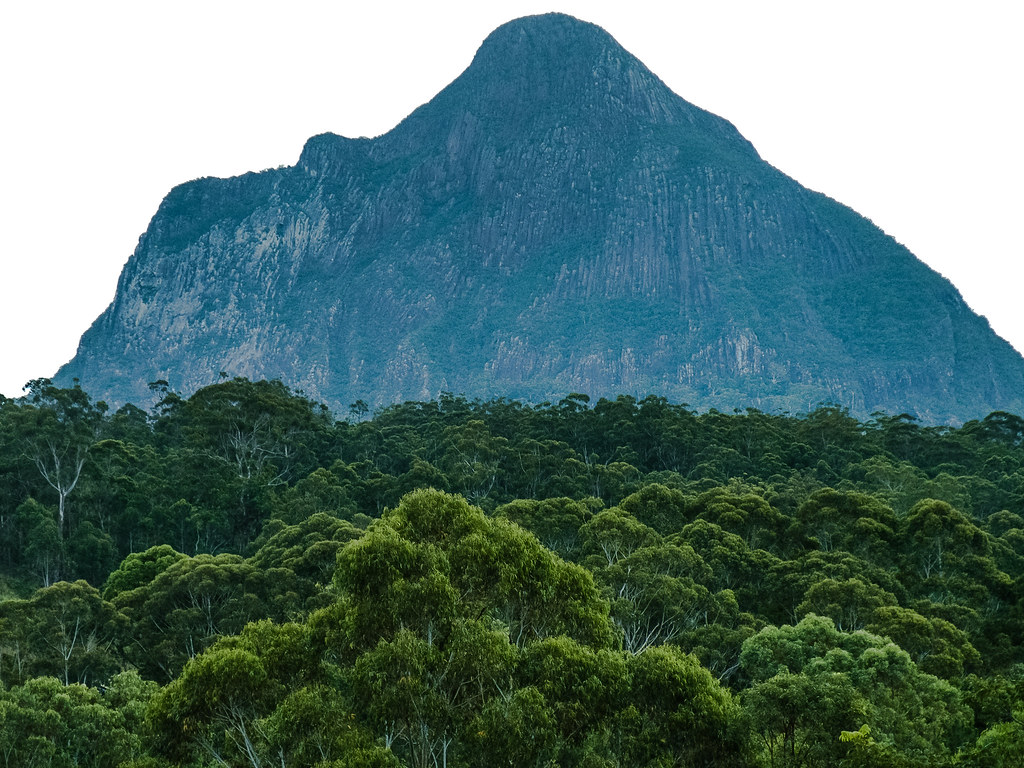
Glass House Mountains
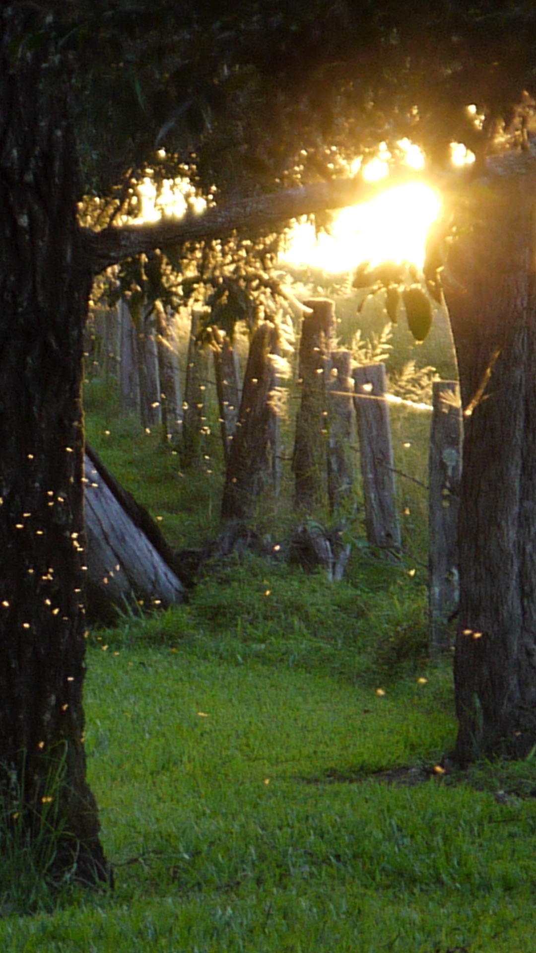
Midges dancing in the Autumn sunset
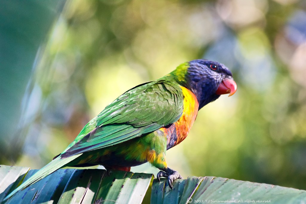
Look This Way

View down the Samford Valley towards Brisbane from Sellin Road, near the northern section of d'Aguilar National Park
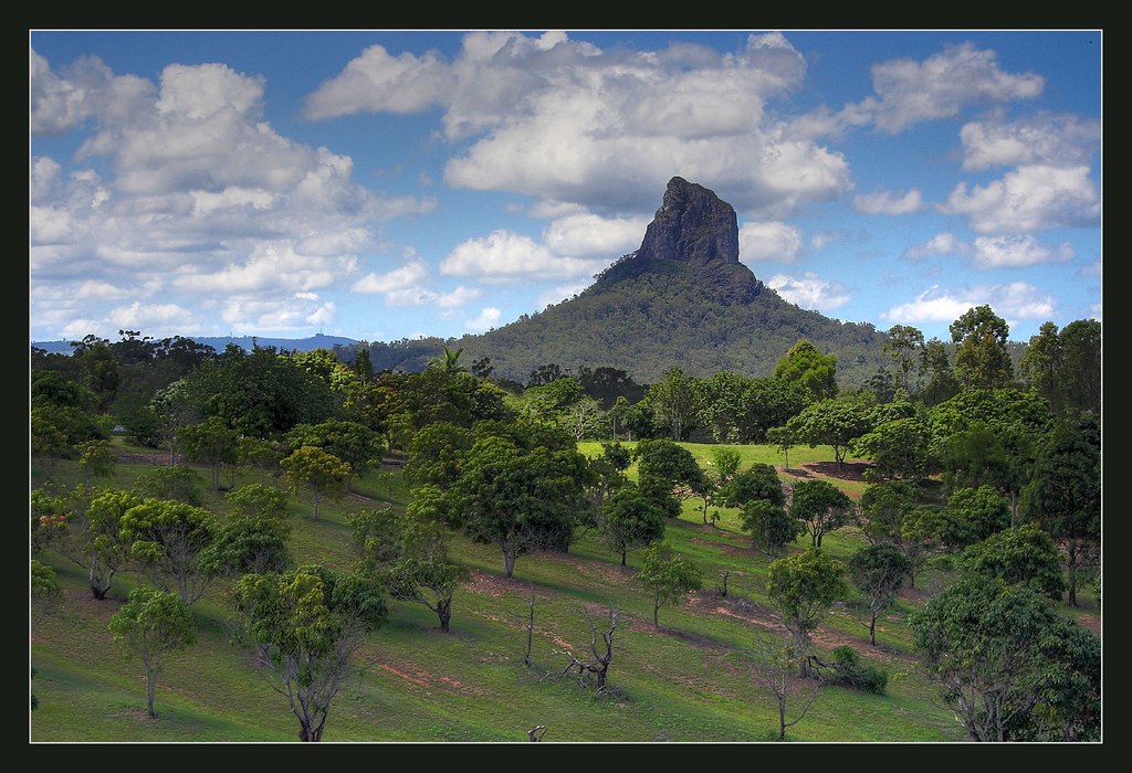
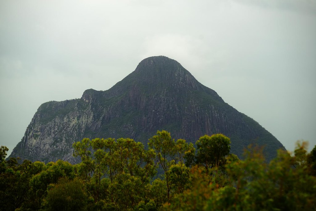
Mount Coonowrin
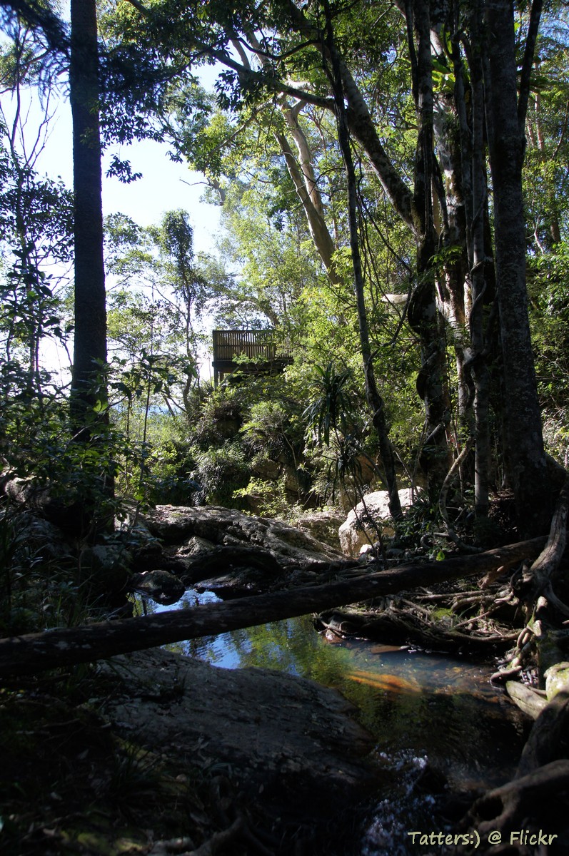
Creek behind Bulls Falls lookout
Glass house mountains, Queensland
A Little Swarm of Little Flies
Let There Be Rain
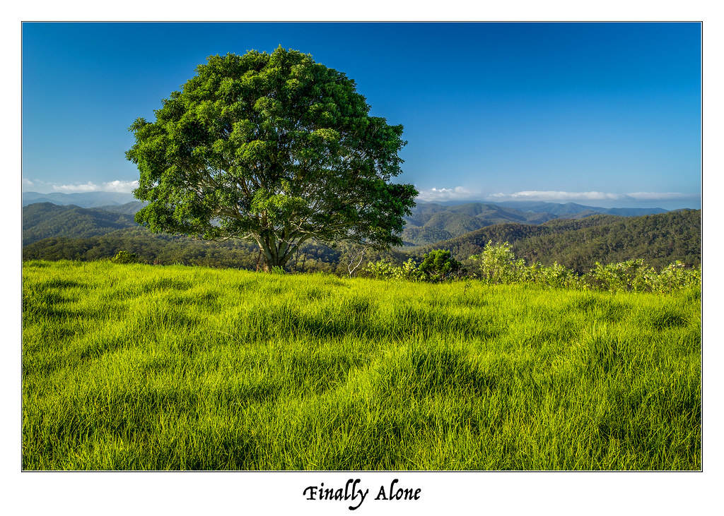
Finally Alone
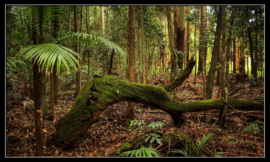
Tree beam
Rainbow Tree
TheMoretonBayRegion.com #moretonbayregion VisitCaboolture.com #Caboolture
Sunshine Coast_D803601
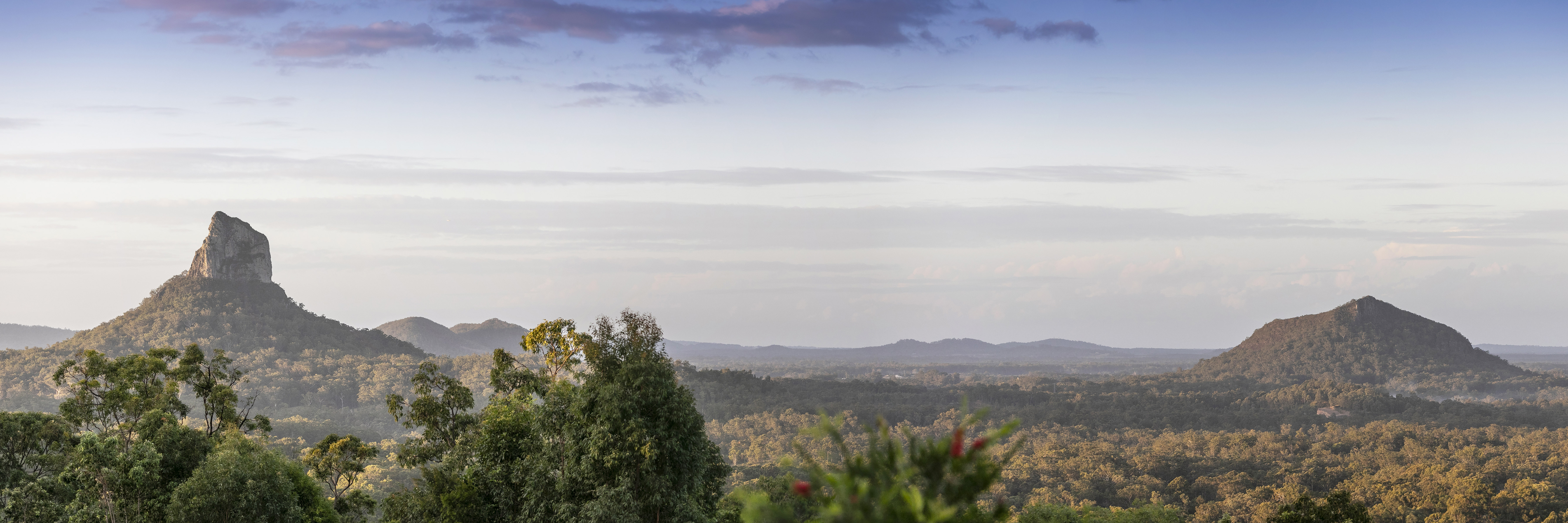
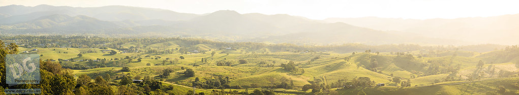
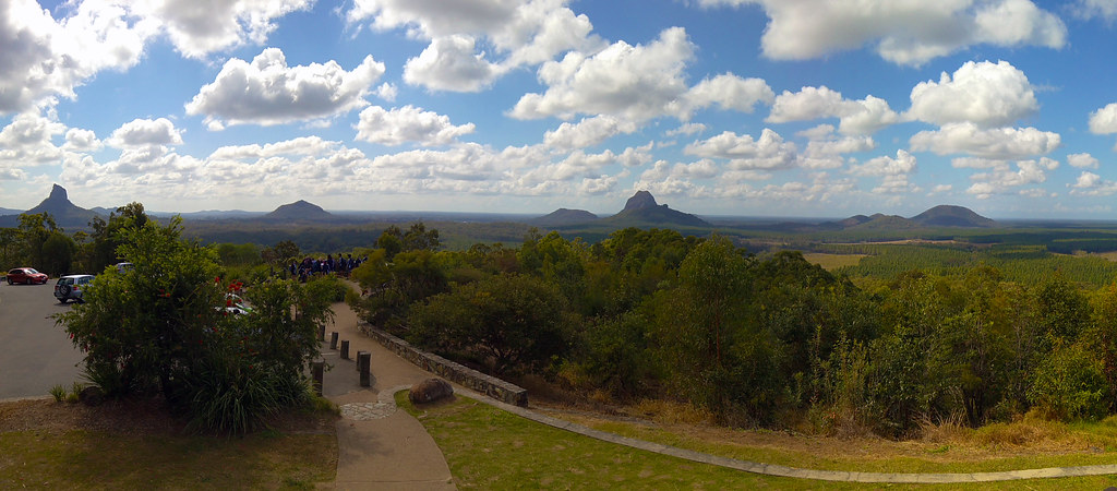
Glass House Mountains panorama
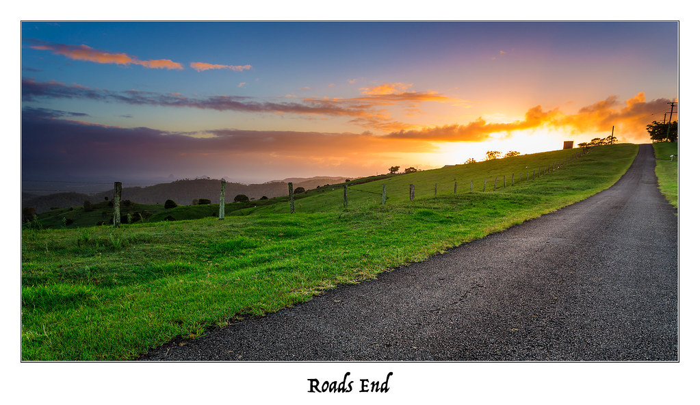
Roads End
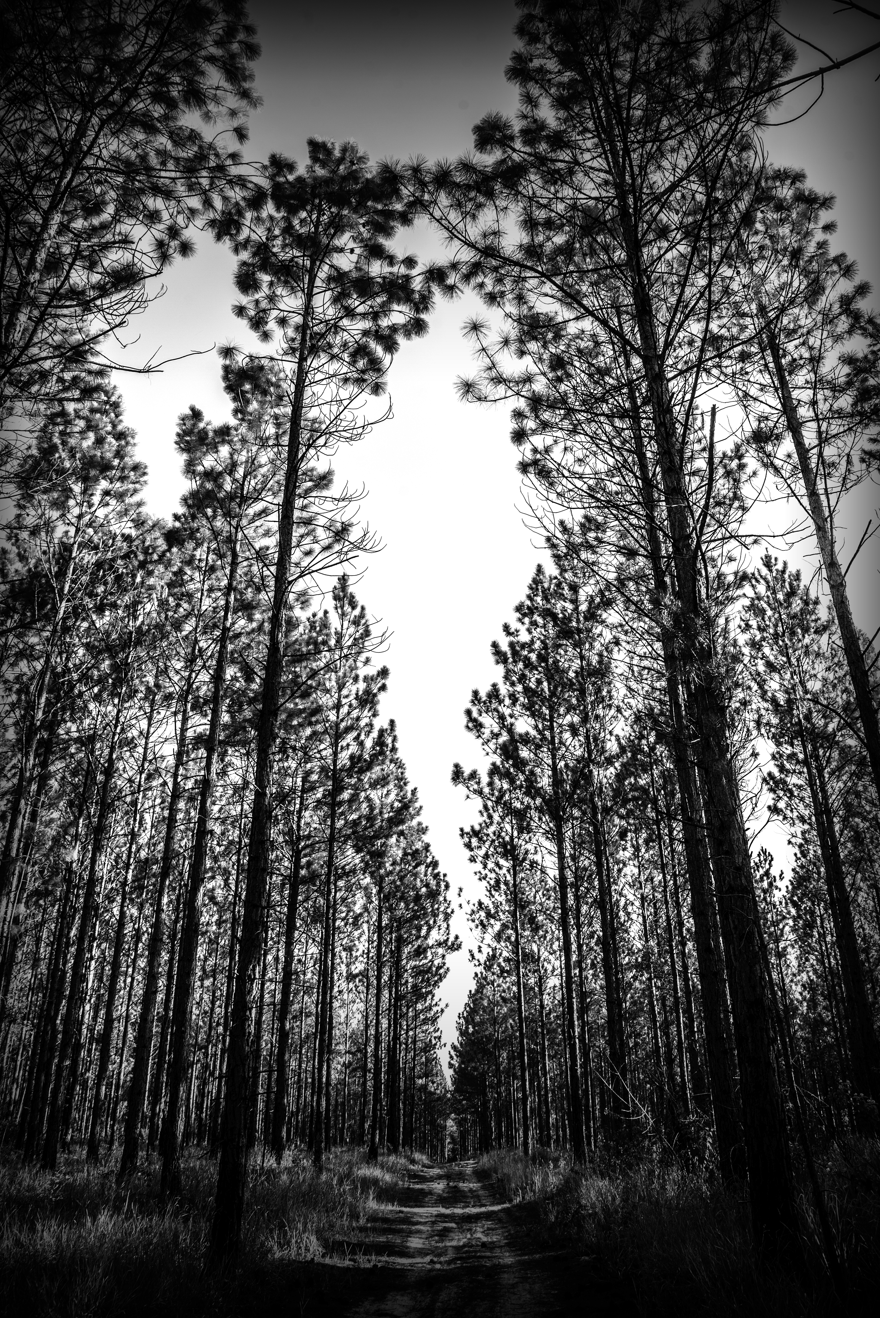
Straight and Narrow
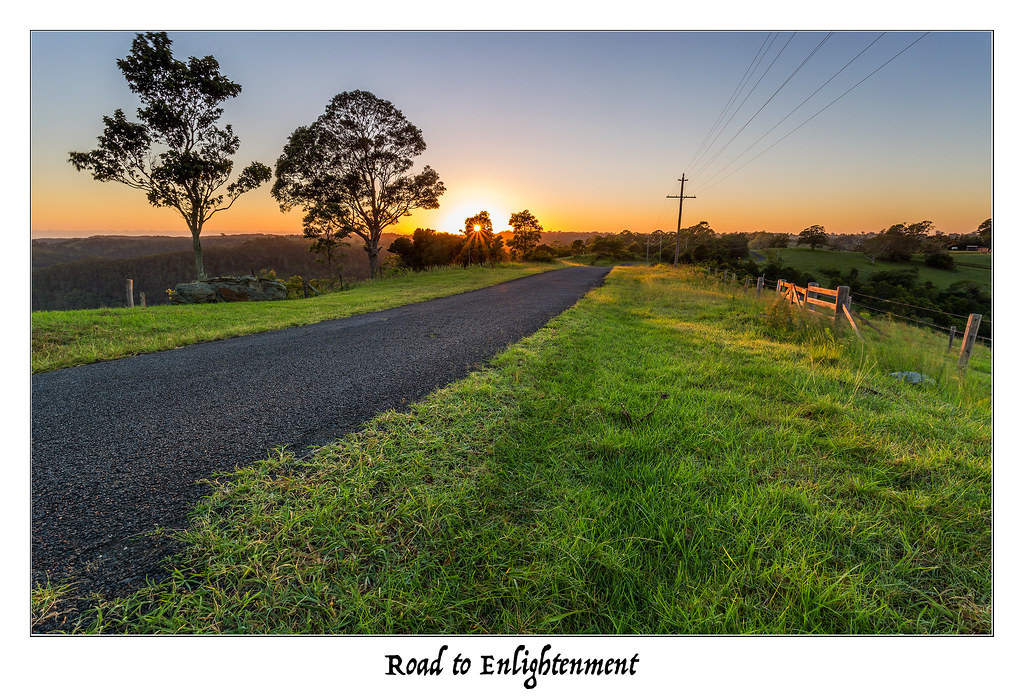
Road to Enlightenment
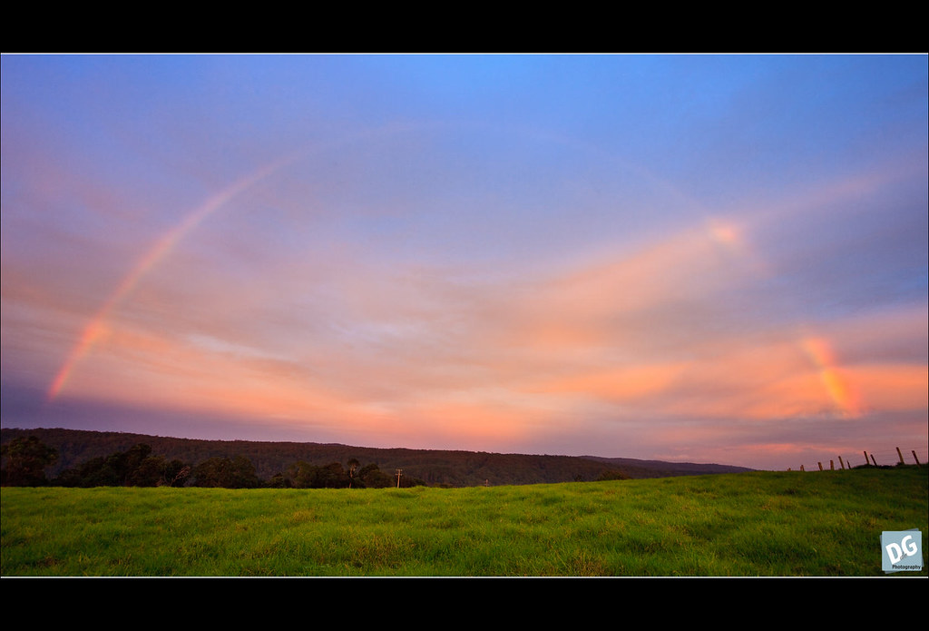
Mt Mee Rainbow
Looking over theMoretonBayRegion.com
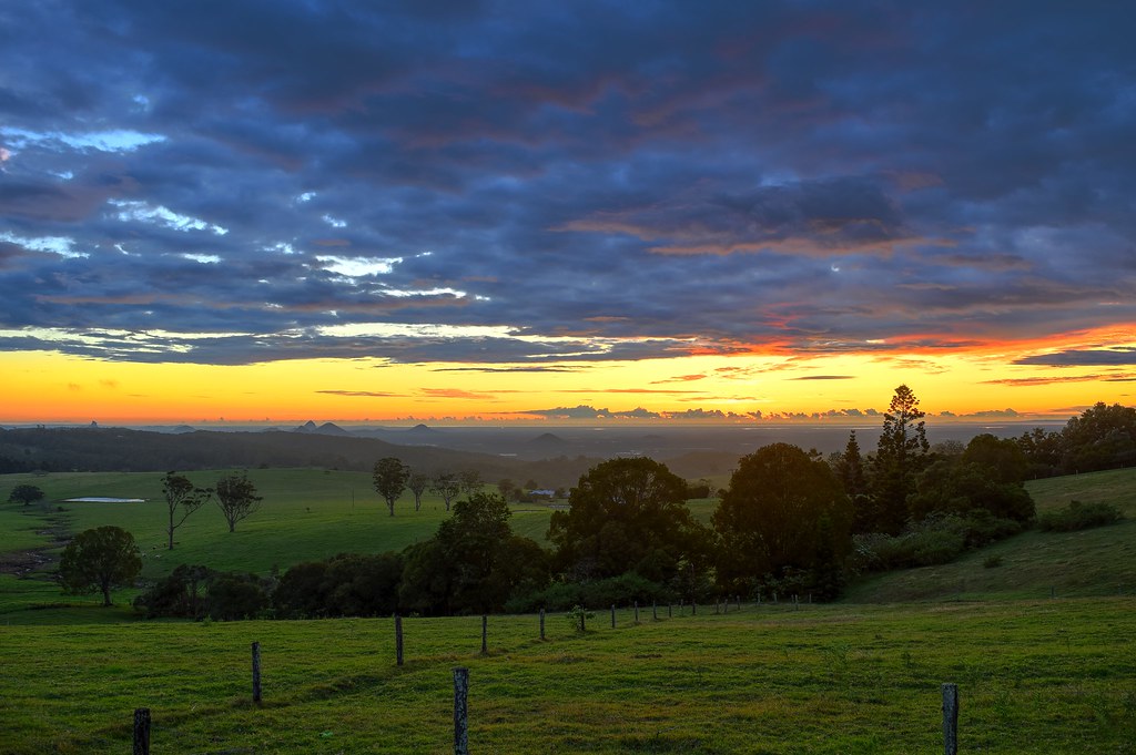
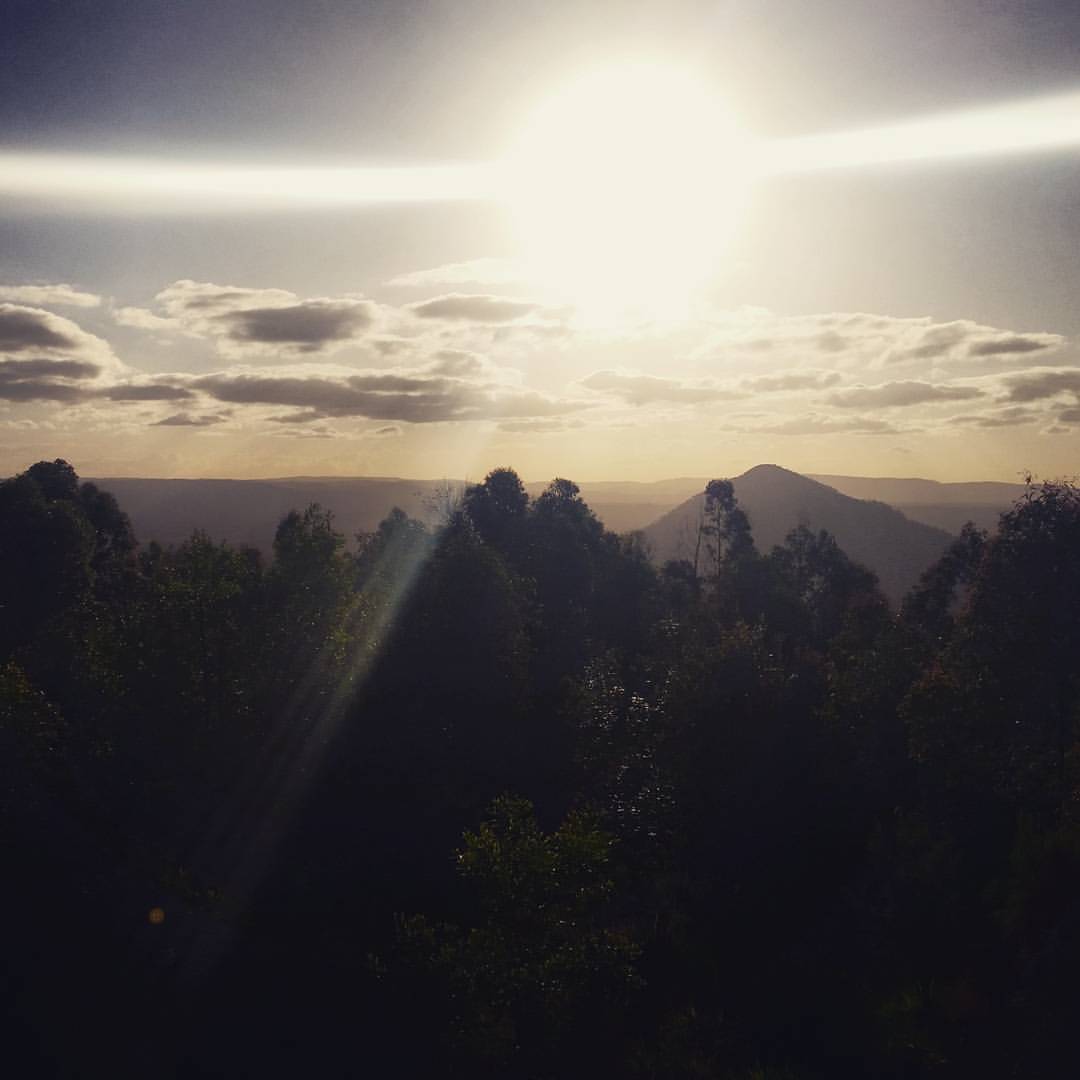
Sunrise from Mount Mee
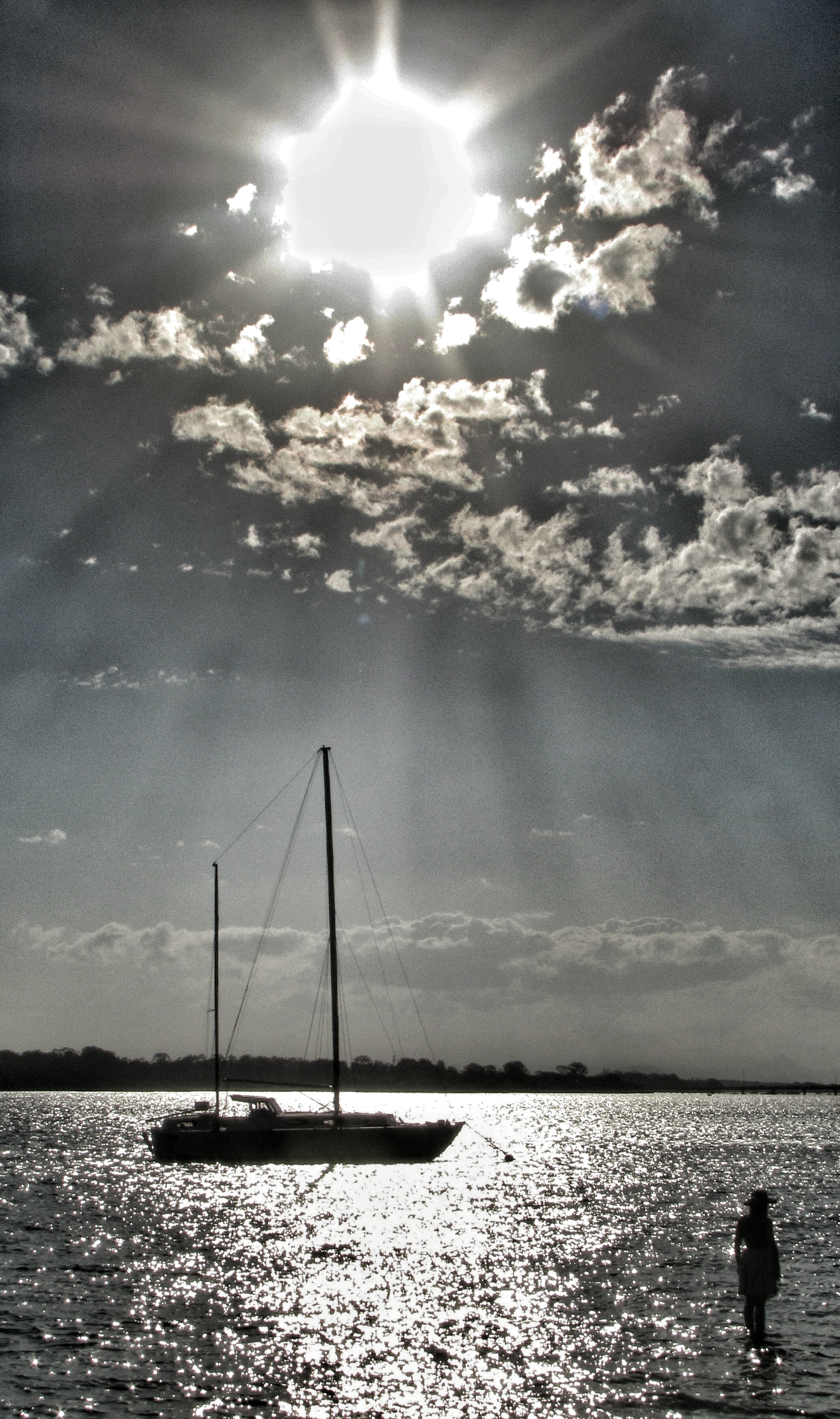
sun, yacht and mysterious woman
Arms Outstretched
Weather report: theMoretonBayRegion.com fine! #moretonbayregion
In theGlassHouseMountains.com looking over theMoretonBayRegion.com - How awesome that place looks #Caboolture #moretonbayregion
Mount Beerwah
Topographic Map of 16 Depina Dr, Wamuran QLD, Australia
Find elevation by address:

Places near 16 Depina Dr, Wamuran QLD, Australia:
Bracalba
2-24 Morley Ln
Pedwell Road
Moreton Bay Regional
Bracalba Quarry
Ocean View
Mount Mee
Mount Mee Road
Mount Mee Road
417 Ocean View Rd
20 Florey St
6-8 Railway Parade
Caboolture
Mount Pleasant
Redgum Drive
31 Glorious Dr
Stonybrook
Woodford
Glass House Mountains Lookout
Burpengary
Recent Searches:
- Elevation of Côte-des-Neiges, Montreal, QC H4A 3J6, Canada
- Elevation of Bobcat Dr, Helena, MT, USA
- Elevation of Zu den Ihlowbergen, Althüttendorf, Germany
- Elevation of Badaber, Peshawar, Khyber Pakhtunkhwa, Pakistan
- Elevation of SE Heron Loop, Lincoln City, OR, USA
- Elevation of Slanický ostrov, 01 Námestovo, Slovakia
- Elevation of Spaceport America, Co Rd A, Truth or Consequences, NM, USA
- Elevation of Warwick, RI, USA
- Elevation of Fern Rd, Whitmore, CA, USA
- Elevation of 62 Abbey St, Marshfield, MA, USA