Elevation of 15 Stirling Rd, Warren, NJ, USA
Location: United States > New Jersey > Somerset County > Warren >
Longitude: -74.466846
Latitude: 40.638606
Elevation: 83m / 272feet
Barometric Pressure: 100KPa
Elevation Map:
Satellite Map:
Related Photos:
rapid flow

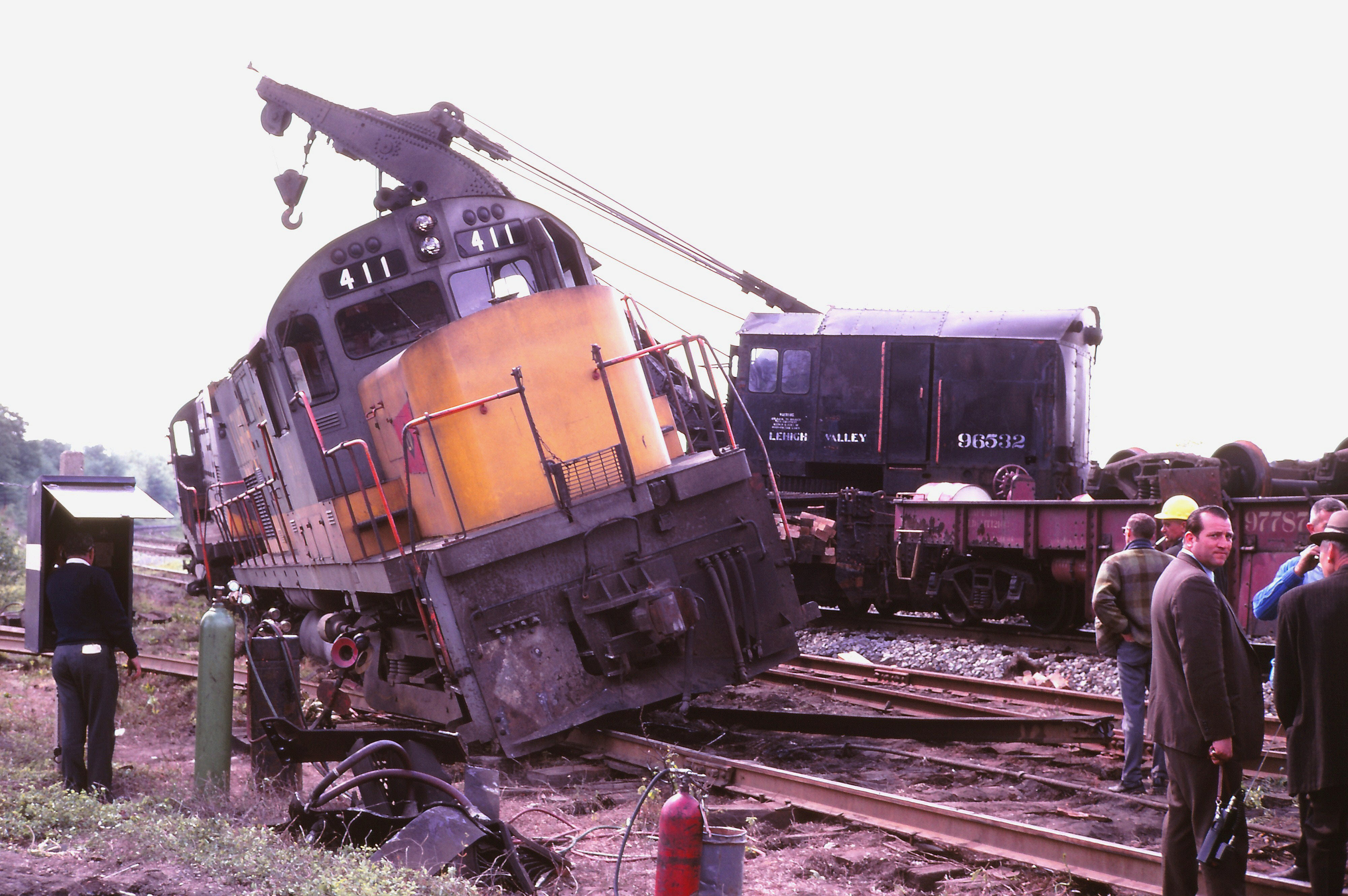
Amtrak High Speed
Washington Rock

Autumn Shimmer

choppin' wood

Eastern Phoebe

Eastern Screech Owl #5

(un)developed
at rest <|> in motion

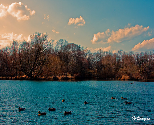
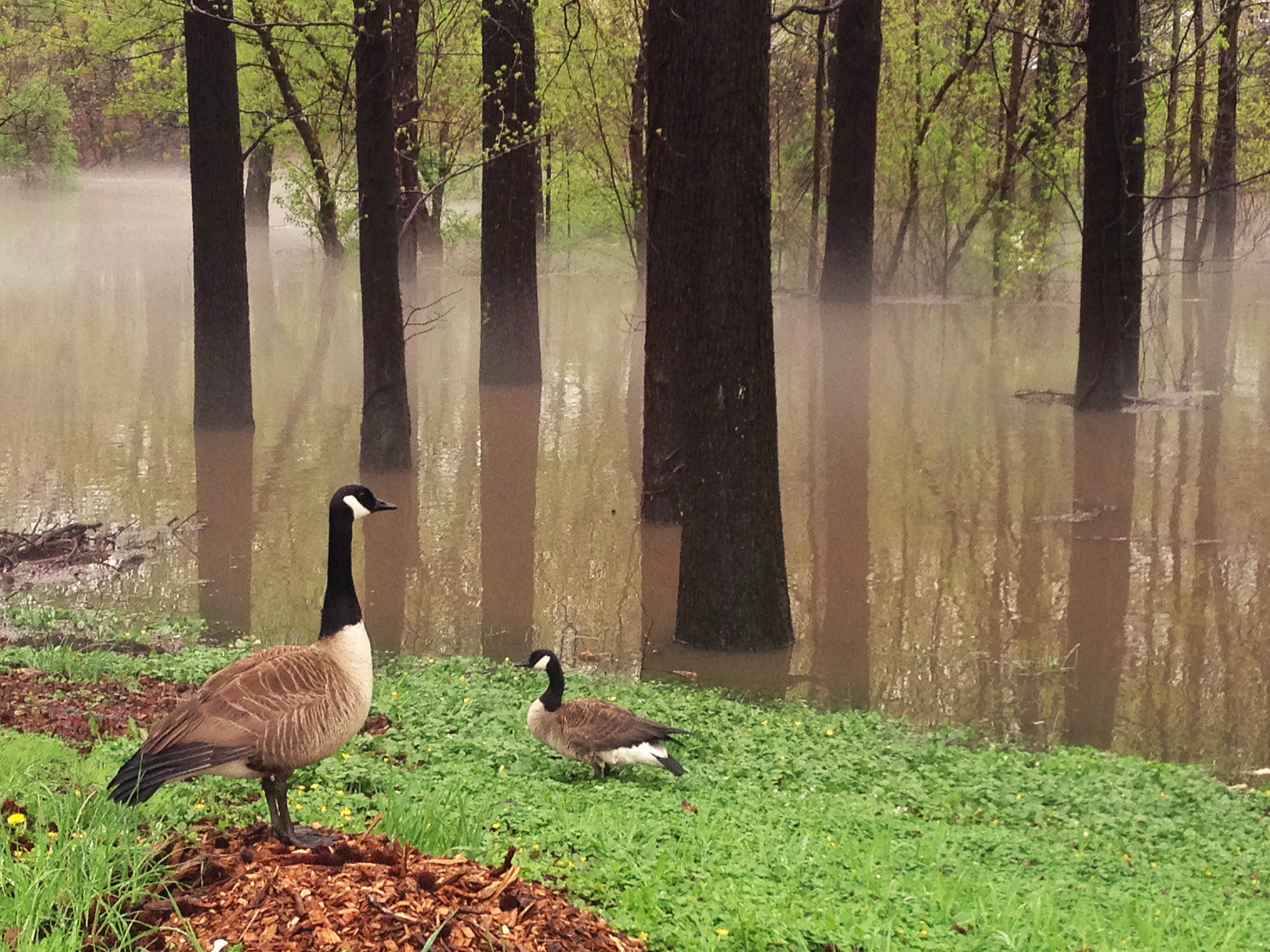
a fowl fall

Thing's are Lookin' Up
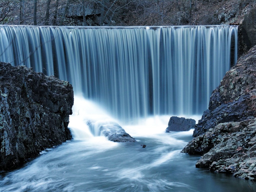
several ways down

land of magic

Northern Harrier
going wide
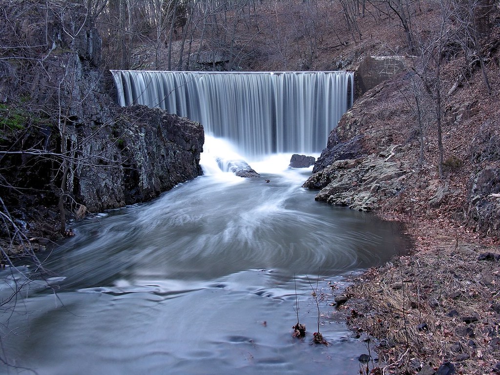
wider falls

A Quiet Moment
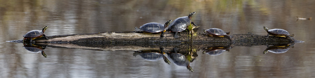
Eastern Painted Turtles
Elementary, Watson!
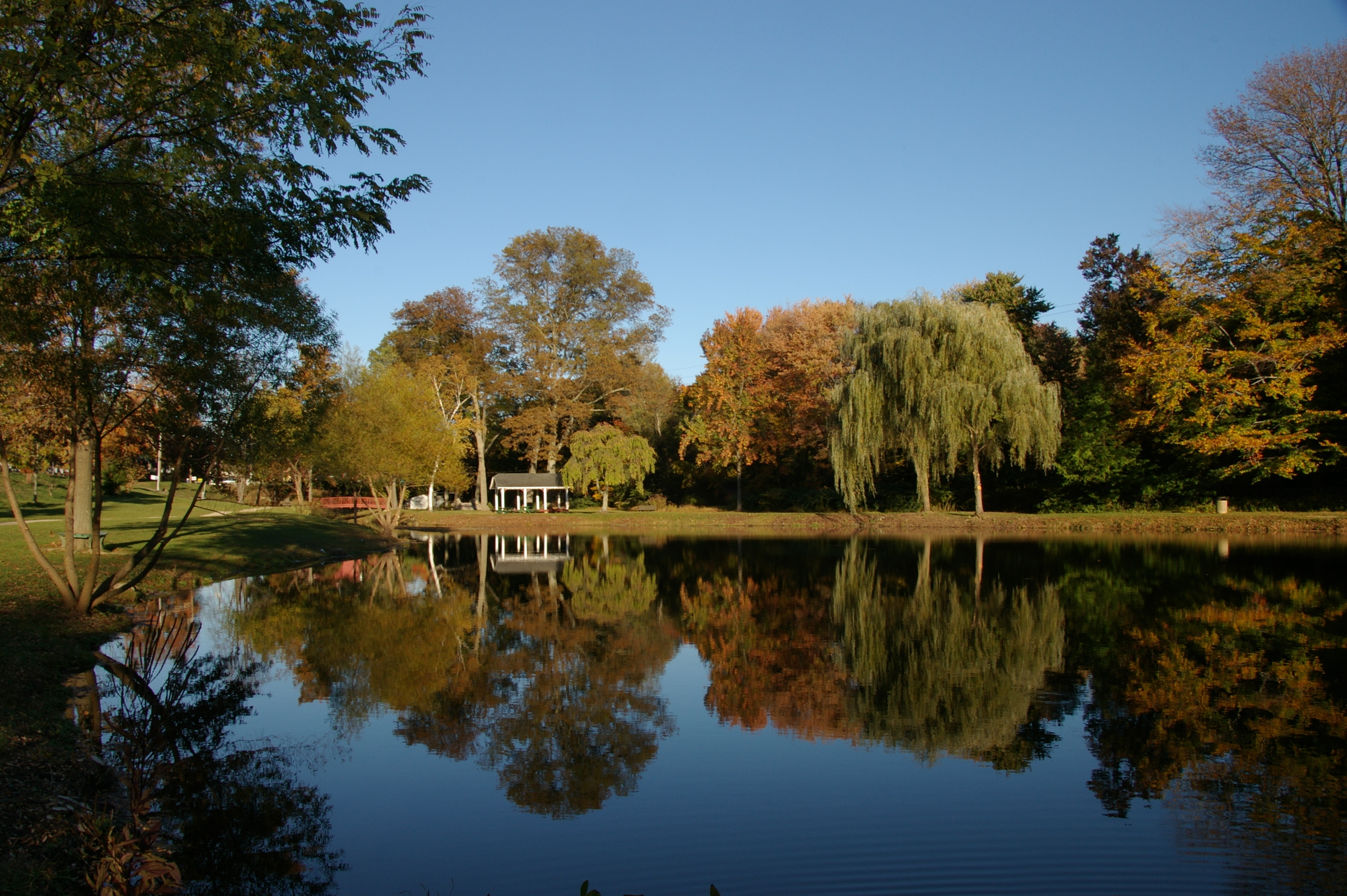
Fall Reflection
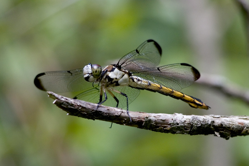
Great Blue Skimmer Dragonfly

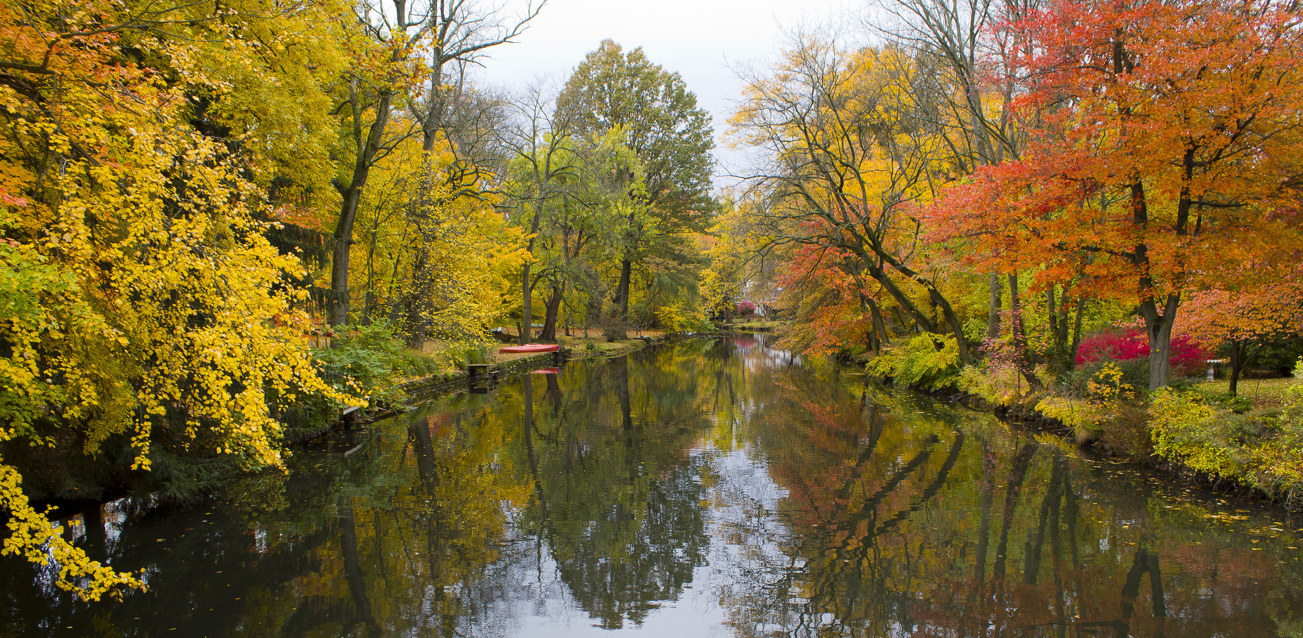
River Fall
Rahway River

Mirror Fall
Grand River Fall

Fern Friday

Down Rahway River
January Fog

Pastoral Landscape

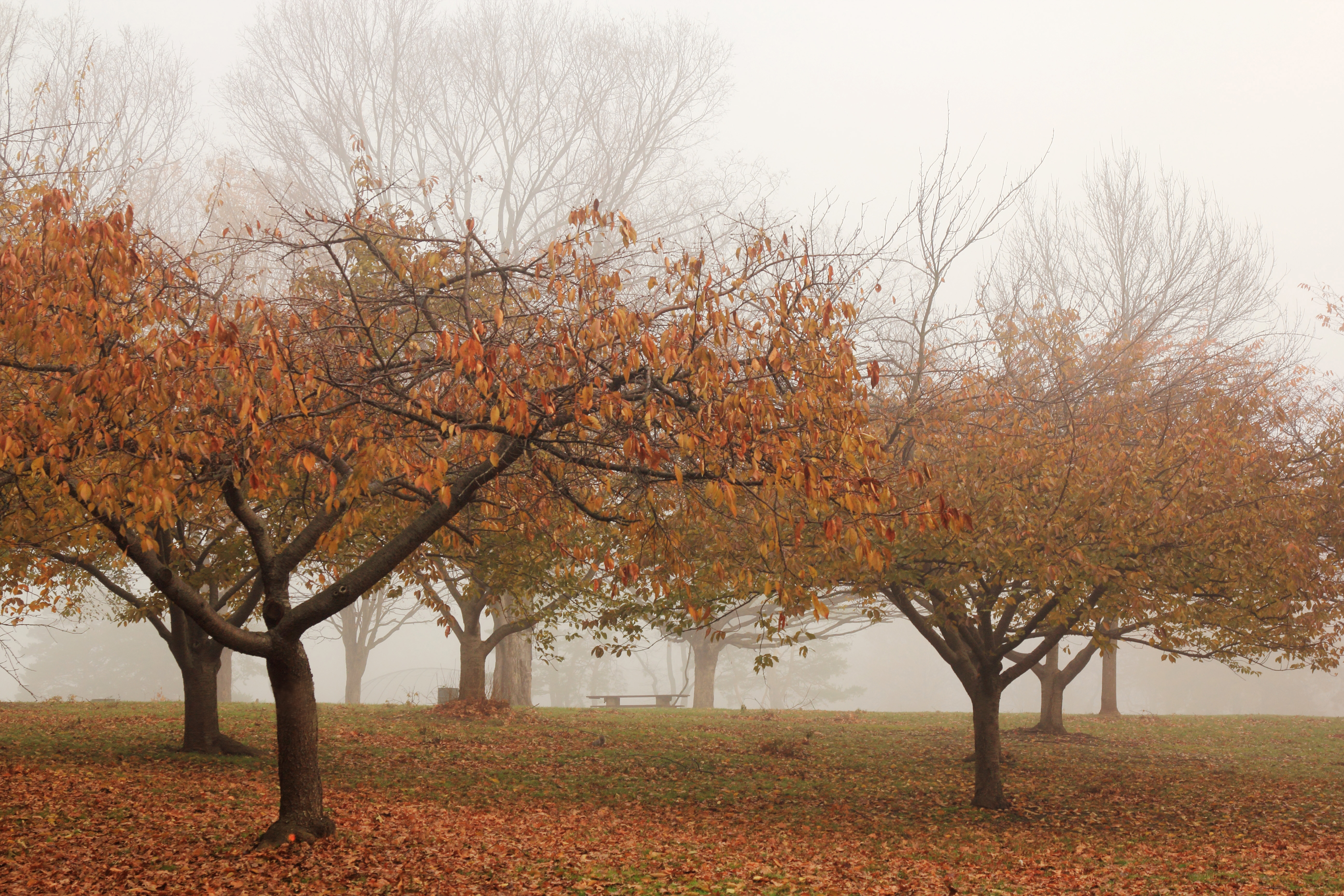
A Crystalline Morning (Explored)
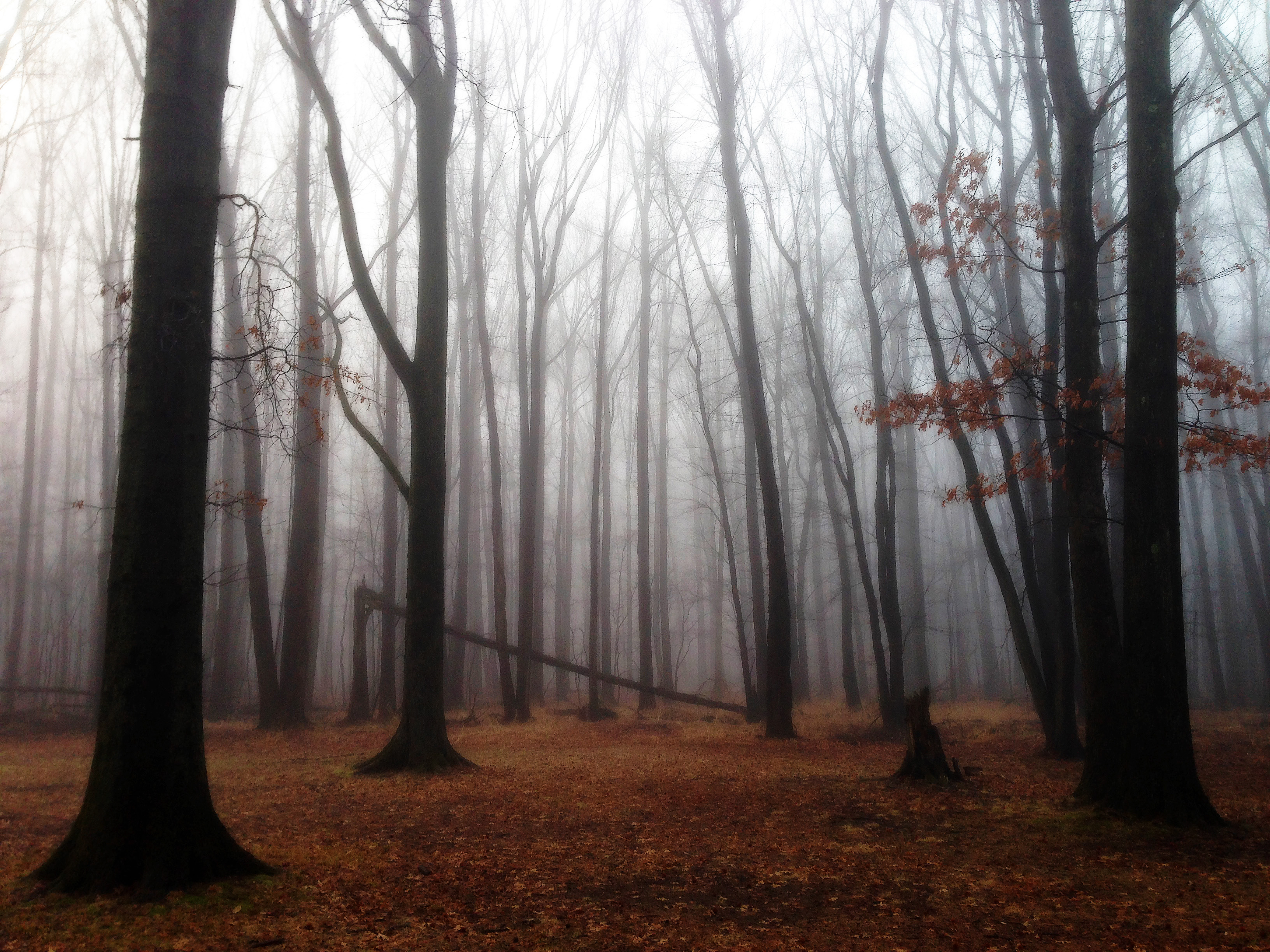
Trees in the Fog

powderhorn lichen

Nomahegan Fall 2013

Winter Stream

filter joy
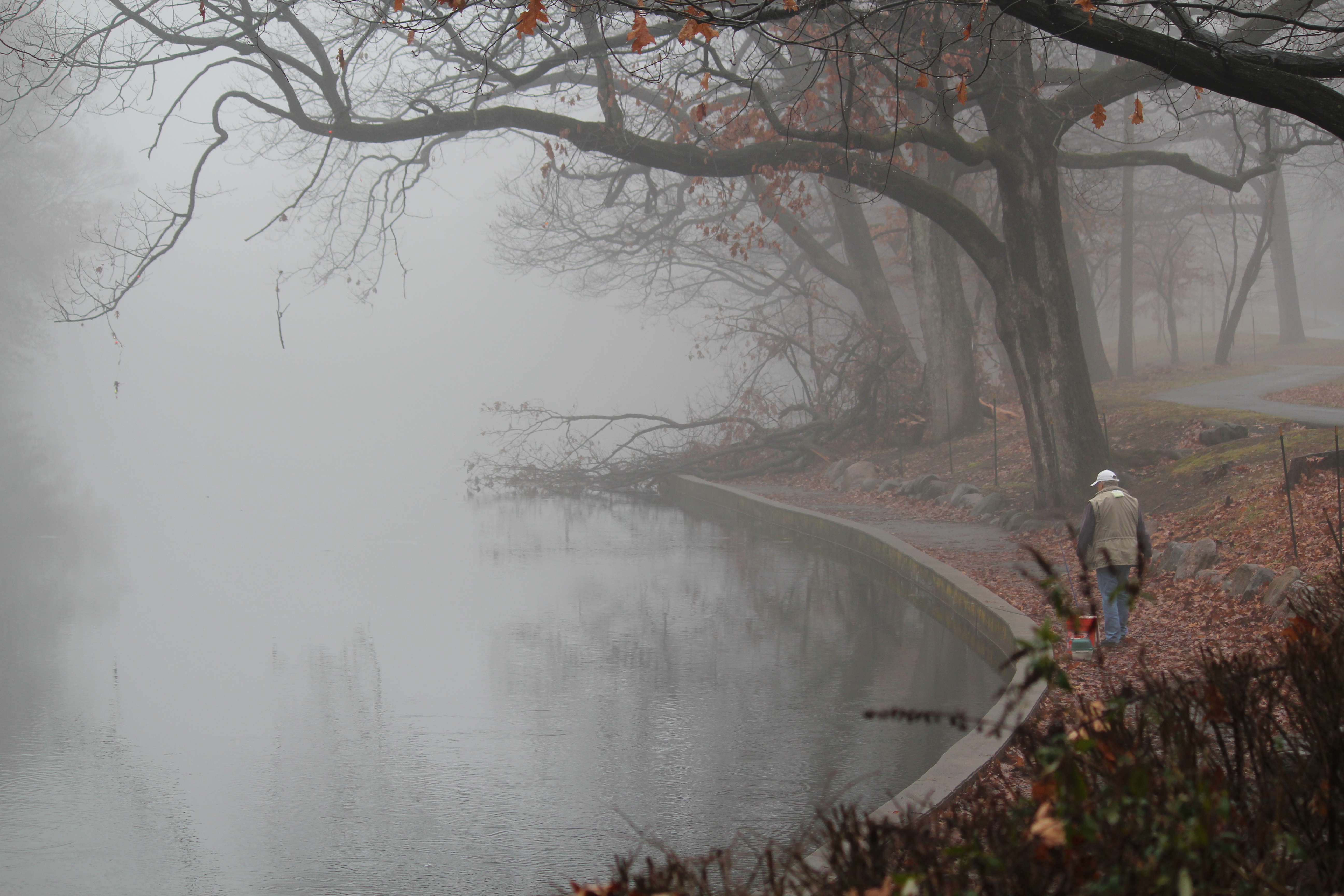
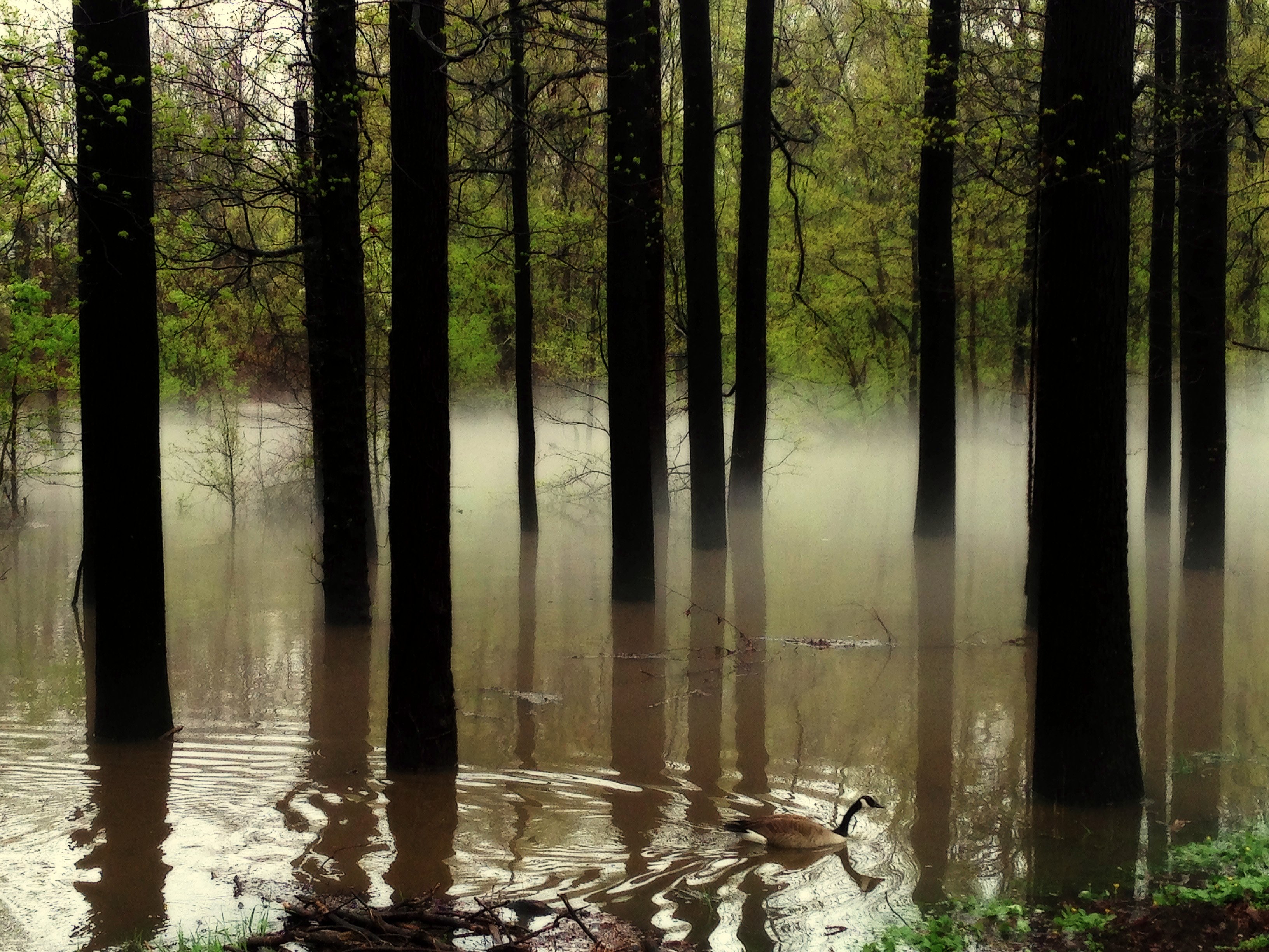
Flood and Fog

Surprise Lake
Looks Like Tom

Sunset After The Storm
Silent Swim

Springfield Fall

Late In The Day
Topographic Map of 15 Stirling Rd, Warren, NJ, USA
Find elevation by address:

Places near 15 Stirling Rd, Warren, NJ, USA:
17 Glenview Dr
Stone House At Stirling Ridge Restaurant And Events
7 Dillon Ct
11 Dillon Ct
76 Sunlit Dr
Watchung Lake
38 Livingston Ave
Watchung
19 Bellewood Dr
100 Old Stirling Rd
51 Wolf Hill Dr
Stirling Rd, Warren, NJ, USA
18 Old Stirling Rd
8 Spring Ln
292 Johnston Dr
17 Deer Path Cir
Washington Rock State Park
918 Us-22
66 Glen Ct
101 Berry Hill Rd
Recent Searches:
- Elevation of Martins Mill Ct, Eagle Rock, NC, USA
- Elevation of Kippen, Stirling FK8, UK
- Elevation of Sieveringer Straße, Sieveringer Str., Wien, Austria
- Elevation of Bratskaya Ulitsa, 24, Kurgan, Kurganskaya oblast', Russia
- Elevation of Paradisvegen, Biri, Norway
- Elevation of Crystal Cir, Birmingham, AL, USA
- Elevation of N Railroad Ave, West Palm Beach, FL, USA
- Elevation of 55 Cassick Valley Rd, Wellfleet, MA, USA
- Elevation of Ironwood Dr, Minden, NV, USA
- Elevation of 高尾山口駅, Takaomachi, Hachioji, Tokyo -, Japan