Elevation of 15- Opae St, Pāhoa, HI, USA
Location: United States > Hawaii > Hawaii County > Pāhoa >
Longitude: -154.89067
Latitude: 19.553904
Elevation: 48m / 157feet
Barometric Pressure: 101KPa
Elevation Map:
Satellite Map:
Related Photos:
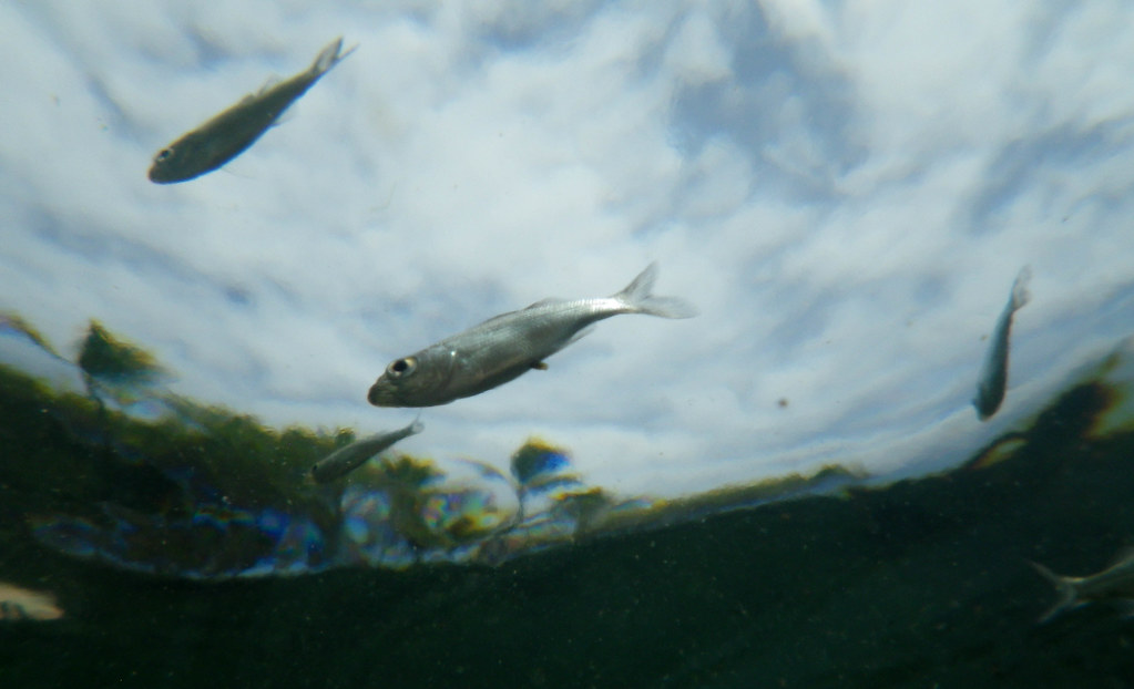
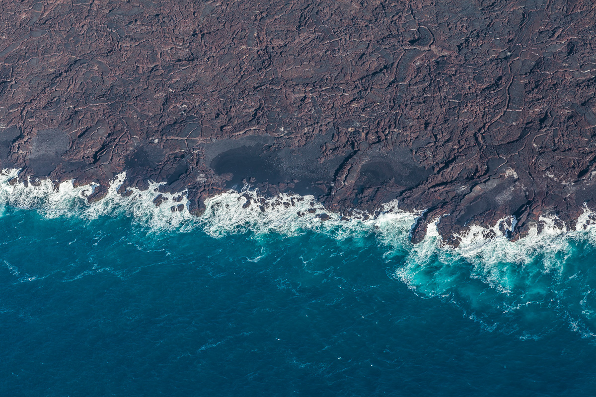
From a Fish 's Point of View
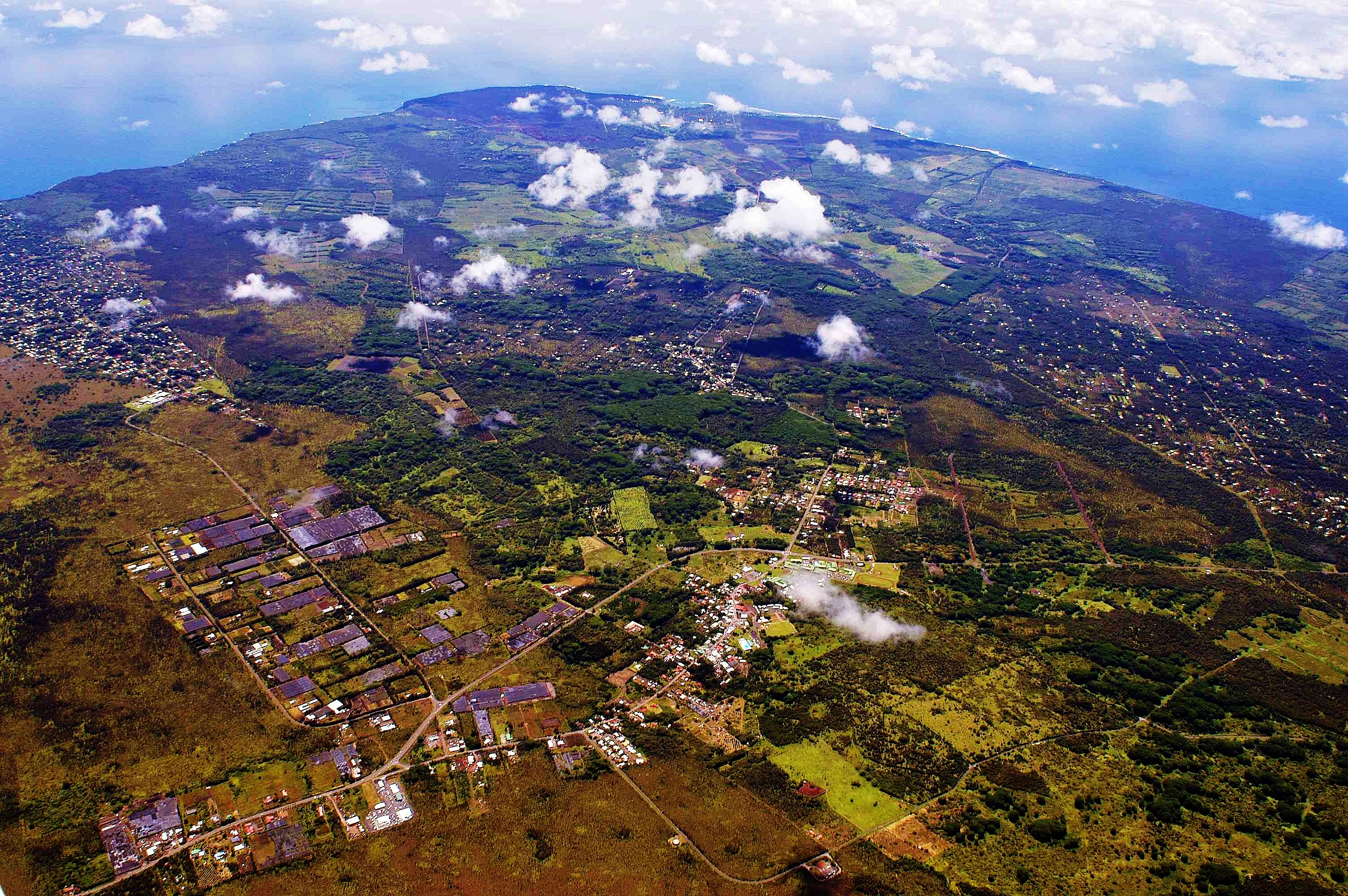
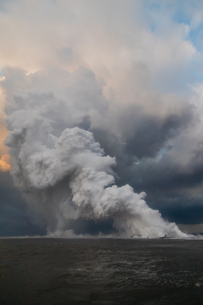
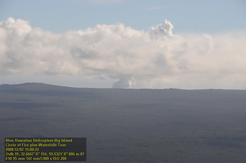
2006: Pahoa and Puna, Hawai'i - In the path of Kilauea Volcano lava
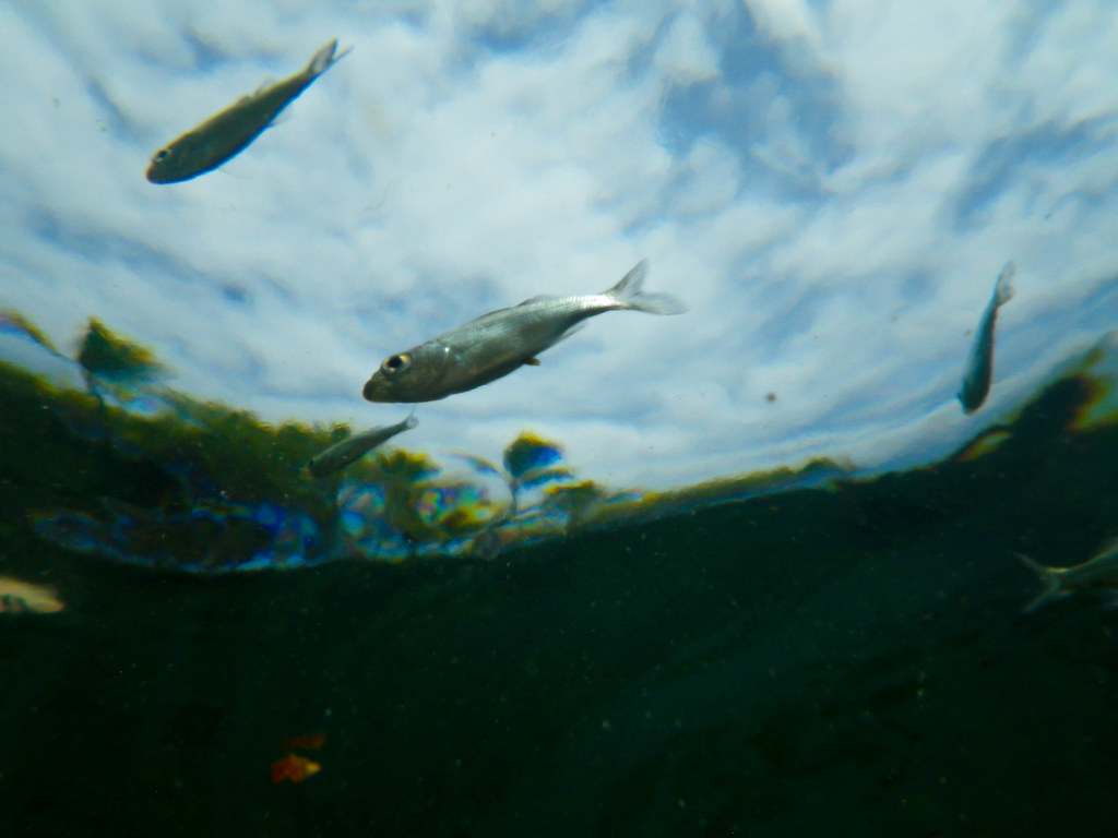
From a Fish 's Point of View
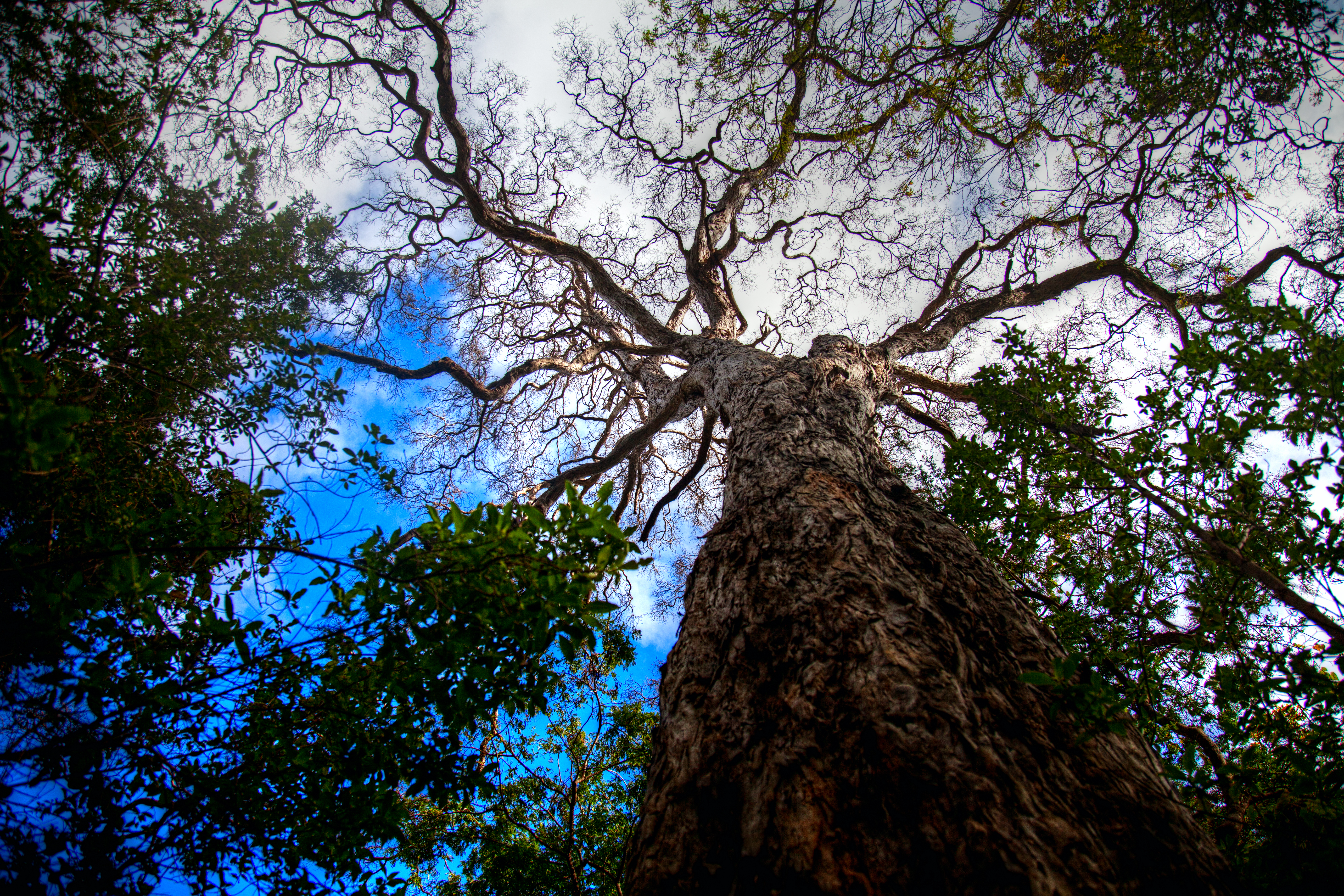
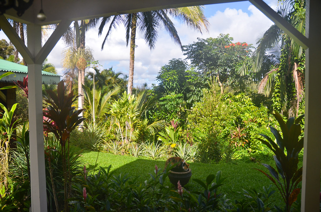
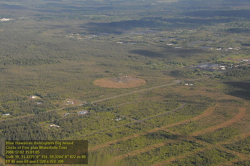
Tree Top View

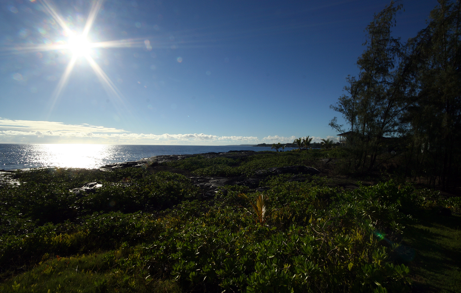
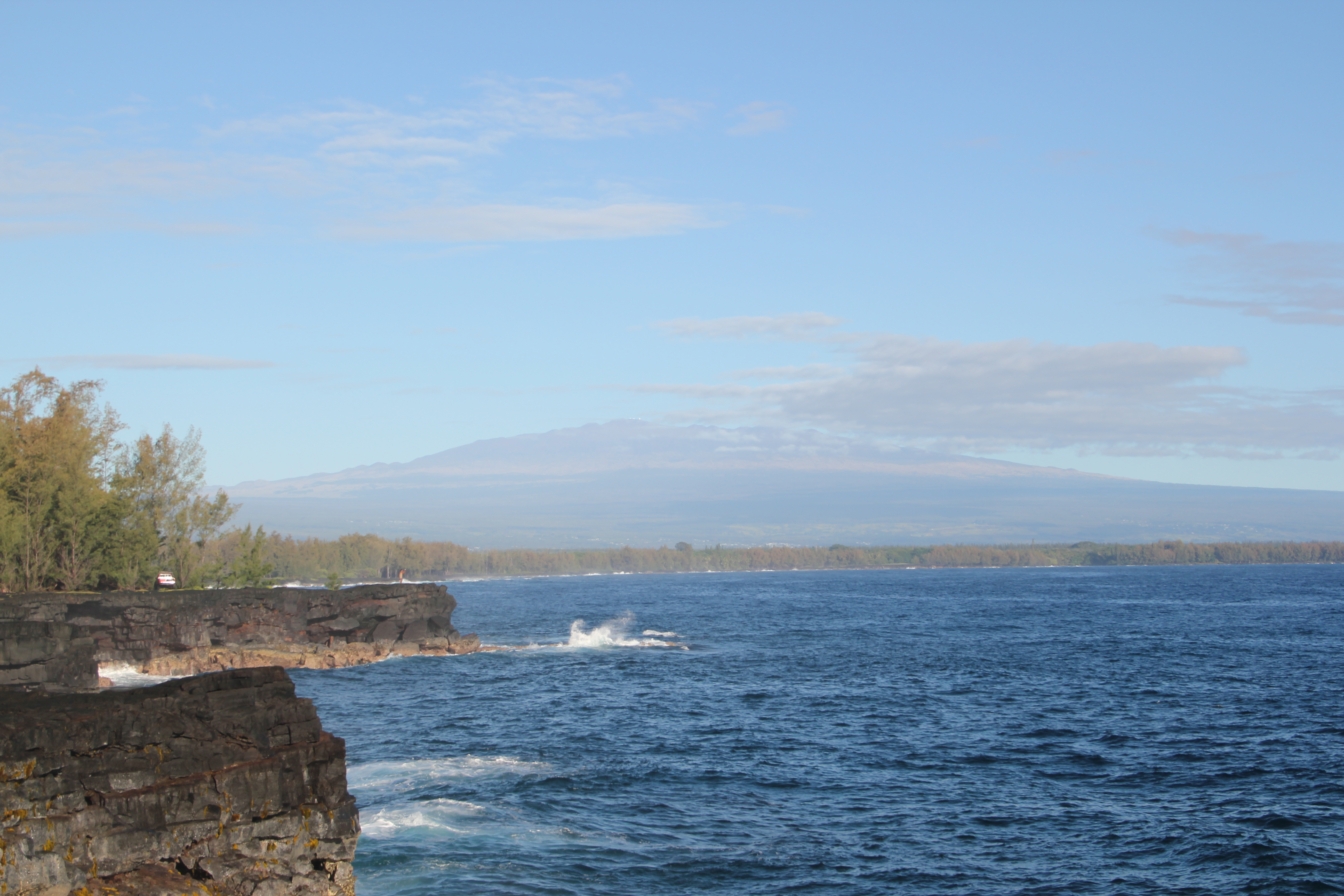
A grey morning, but still a tremendous view of the coast.
Hawaii Kilauea Volcano Lava Laze Boat Tour View 6

Hawaii Kilauea Volcano Lava Laze Boat Tour View 7

Hawaii Kilauea Volcano Lava Laze Boat Tour View 3
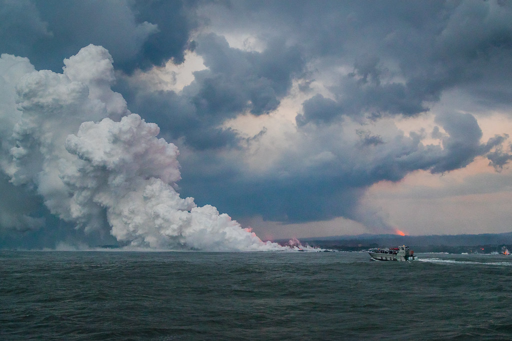
Hawaii Kilauea Volcano Lava Laze Boat Tour View 5
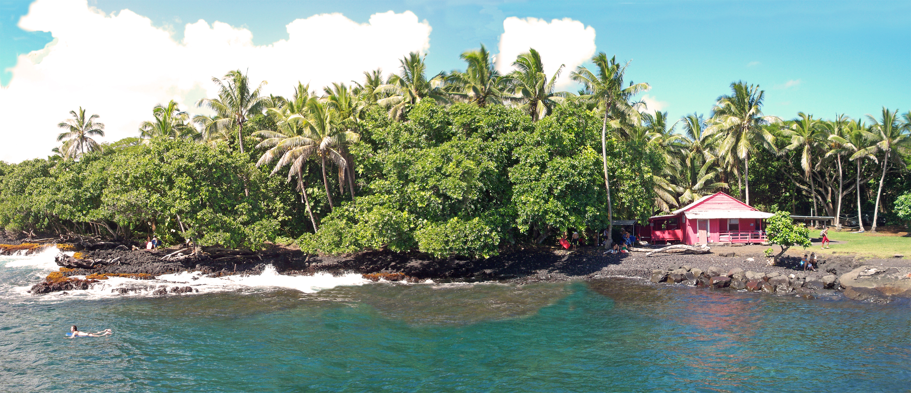
Little Pink House of Pohoiki
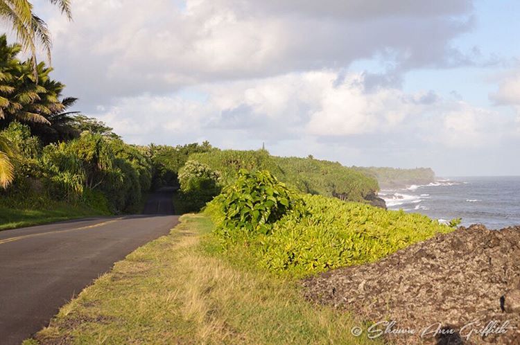
Cruising along Red Road on #thebigisland of #Hawaii nothing better than a cruise with this view #naturalbeauty

Hawaii Kilauea Volcano Lava Laze Boat Tour View 1
sunrise-day1

Golden Sunrise at Kaloli Point

HW6990VF2_4491.JPG

Hawaii Kilauea Volcano Lava Laze Boat Tour View 2
HW7000VF2_4501.JPG
Lava Tree Tropic Inn breakfast view
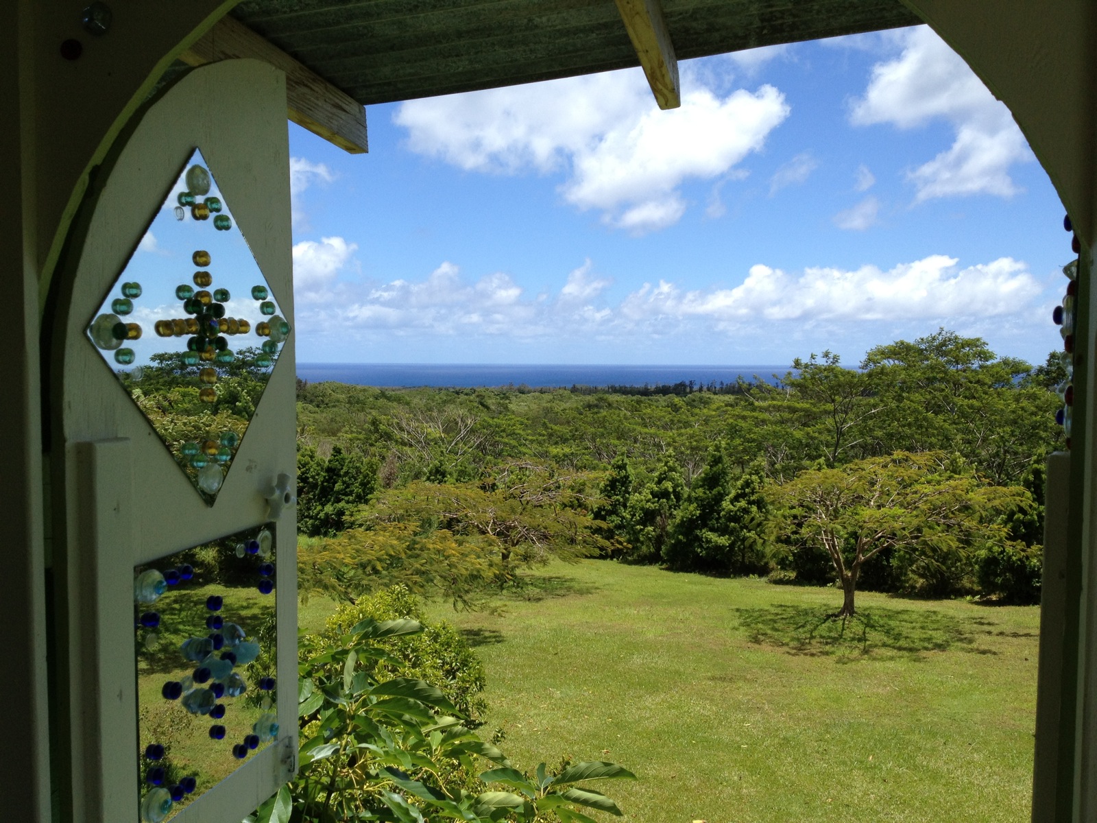
The view from the reflection room
Mauna Kea on a clear day
HW7005VF2_4506.JPG

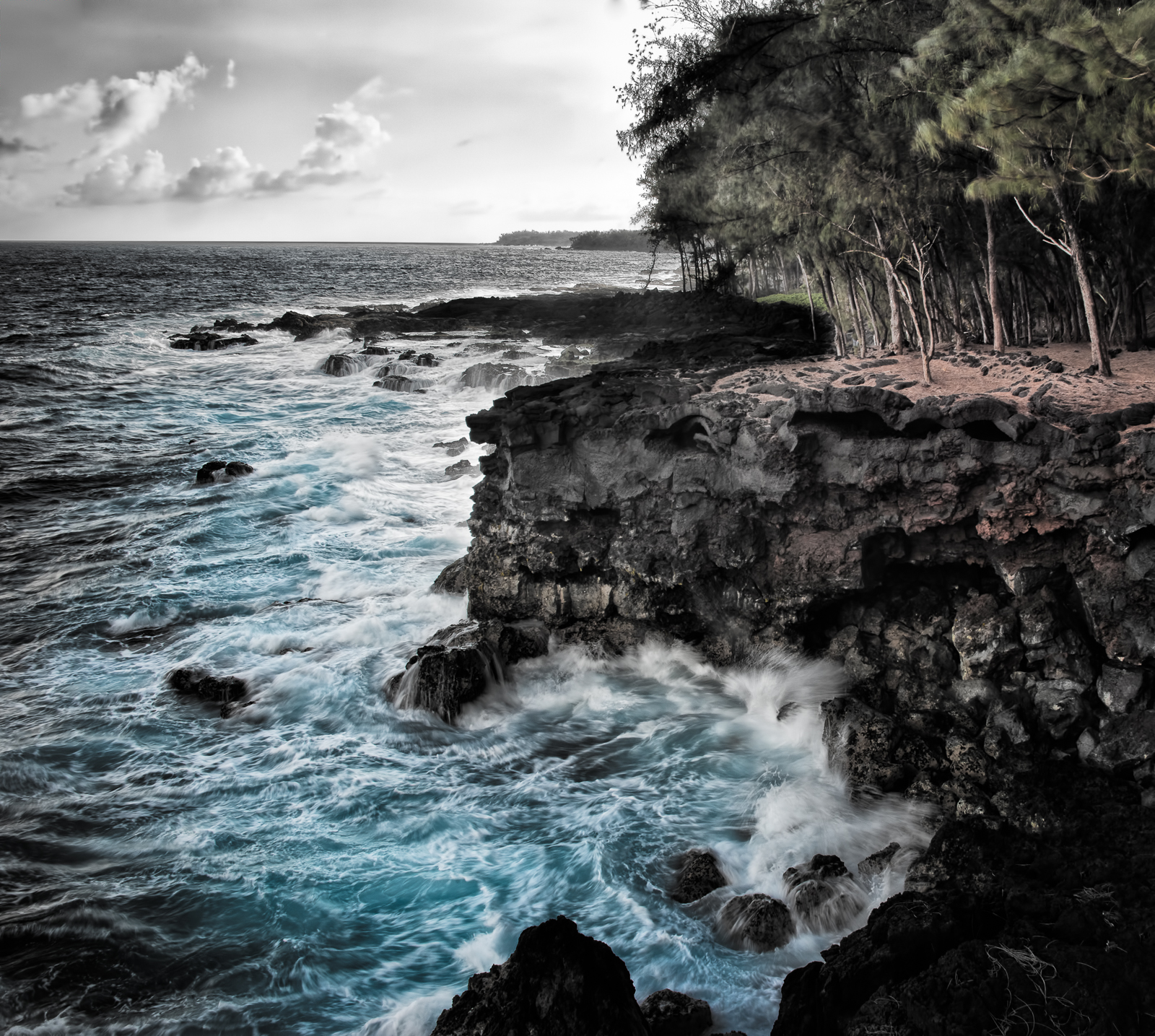
Pahoan waves

Isaac Hale Beach Park [10 sec]
Ironwood Iron Will

Kilauea Hawaii Volcano - Fissure 8
New Coast

Leilani Eruption

Hawaii Kilauea Volcano Fissure 8 Lava

Black Flood

20090318-005
Topographic Map of 15- Opae St, Pāhoa, HI, USA
Find elevation by address:

Places near 15- Opae St, Pāhoa, HI, USA:
15-2780 Oio St
15-280 Puni Makai Loop S
15-142 Kahakai Blvd
15-140 Kahakai Blvd
15-2738 Popaa St
15-111 Kahakai Blvd
15-2686 Opelu St
15-119 Puhi St
15-2680 Opelu St
15-2795 Manini St
15-2782 Malolo St
Government Beach Road
Nanawale Forest Resv
15-2707 Malolo St
15-2828 Mahimahi St
Nanawale Park
15-2693
15-505 Kahakai Blvd
15-2677 Lai St
15-2789 Kala St
Recent Searches:
- Elevation of Zimmer Trail, Pennsylvania, USA
- Elevation of 87 Kilmartin Ave, Bristol, CT, USA
- Elevation of Honghe National Nature Reserve, QP95+PJP, Tongjiang, Heilongjiang, Jiamusi, Heilongjiang, China
- Elevation of Hercules Dr, Colorado Springs, CO, USA
- Elevation of Szlak pieszy czarny, Poland
- Elevation of Griffing Blvd, Biscayne Park, FL, USA
- Elevation of Kreuzburger Weg 13, Düsseldorf, Germany
- Elevation of Gateway Blvd SE, Canton, OH, USA
- Elevation of East W.T. Harris Boulevard, E W.T. Harris Blvd, Charlotte, NC, USA
- Elevation of West Sugar Creek, Charlotte, NC, USA