Elevation of 15- Keaau-Pahoa Rd, Keaau, HI, USA
Location: United States > Hawaii > Hawaii County > Hawaiian Paradise Park >
Longitude: -155.00003
Latitude: 19.571366
Elevation: 104m / 341feet
Barometric Pressure: 100KPa
Elevation Map:
Satellite Map:
Related Photos:
HW6981VF2_4482.JPG
HW7001VF2_4502.JPG
HW6969VF2_4470.JPG

HW6979VF2_4480.JPG
HW7008VF2_4509.JPG
HW6976VF2_4477.JPG
HW7007VF2_4508.JPG

We can pickle that
HW7481VF2_4982.JPG
sunrise-day1
HW7003VF2_4504.JPG

HW6964VF2_4465.JPG
HW7490VF2_4991.JPG
HW7467VF2_4968.JPG

HW6990VF2_4491.JPG
HW7479VF2_4980.JPG
HW6978VF2_4479.JPG
HW6983VF2_4484.JPG
HW7460VF2_4961.JPG
HW7464VF2_4965.JPG
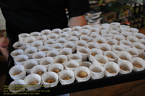
HW4404VF2_3671 Mauna Loa Macadamia Nut Visitor Center.JPG

lost in the forest

⛅️
Topographic Map of 15- Keaau-Pahoa Rd, Keaau, HI, USA
Find elevation by address:

Places near 15- Keaau-Pahoa Rd, Keaau, HI, USA:
15 Kaloli Dr
15-1449 Poni Moi
16-1520 35th Ave
15-1610 31st Ave
161394 Pohaku Cir
161394 Pohaku Cir
15-1402 Poni Moi
16-1385 36th Ave
16-1578 36th Ave
16-1658 35th Ave
16-1634 36th Ave
161572 37th Ave
161572 37th Ave
161572 37th Ave
16-1572 37th Ave
15-1322 26th Ave
Shower Drive
16-345 Melekule St
Orchidlands Estates
16-356
Recent Searches:
- Elevation of Tenjo, Cundinamarca, Colombia
- Elevation of Côte-des-Neiges, Montreal, QC H4A 3J6, Canada
- Elevation of Bobcat Dr, Helena, MT, USA
- Elevation of Zu den Ihlowbergen, Althüttendorf, Germany
- Elevation of Badaber, Peshawar, Khyber Pakhtunkhwa, Pakistan
- Elevation of SE Heron Loop, Lincoln City, OR, USA
- Elevation of Slanický ostrov, 01 Námestovo, Slovakia
- Elevation of Spaceport America, Co Rd A, Truth or Consequences, NM, USA
- Elevation of Warwick, RI, USA
- Elevation of Fern Rd, Whitmore, CA, USA