Elevation of 15 Coachwhip Ct, Simpsonville, SC, USA

Longitude: -82.305198

Latitude: 34.7060908

Elevation: 240m / 787feet

Barometric Pressure: 98KPa

Elevation Map:

elevation map of 15 Coachwhip Ct, Simpsonville, SC, USA

Satellite Map:

Satellite map of 15 Coachwhip Ct, Simpsonville, SC, USA

Related Photos:

mountain mountains theview view beautifull cloud clouds forest hike hiking walk walking path chimney rock nikon nikkor d7100
The end of the path...
greenvilledowntownairport greenvilledowntownairportaerial airport greenville southcarolina gmu kgmu greenvilleairportcommission travel airtravel transportation runway landing 29607 flight fly sc greenvillecounty horizontal color unitedstates usa approach landingapproach
Greenville Downtown Airport Aerial View
bird ropermountainsciencecenter hummingbird insect fieryskipperhylephilaphyleus supershot
Dog fight - Hummingbird and Fiery Skipper - Explored
trafficlight 3mtrafficlight
3M Traffic Light
greenvillecountryclub greenvillecountryclubaerial golfcourse aerial aerialview golf golfing clubhouse tennis pool privateclub private countryclub golfclub chanticleer chanticleergolfcourse riversidegolfcourse 239byrdblvd greenville 29605 southcarolina realestate sc greenvillecounty horizontal color unitedstates usa
Greenville Country Club Golf Course Aerial View
road costumes light white black abandoned mannequin glass night digital canon dark weird store scary highway mannequins alone empty south ghost southcarolina creepy clothes odd walkway carolina remote haunting deserted greenville mauldin greenvillesc
Carolina Fashions, Inc
copyright flying pilot allrightsreserved biplane greenvillesc sooc mzuiko1442 majmikewilliams ©daveelmore
077/366
motorolatriumphcellphone
A Country View
monochrome playground circle geotagged gimp round geotag textured mauldin hbm whatizzit southsidepark 10millionphotos benchmonday 111picturesin2011
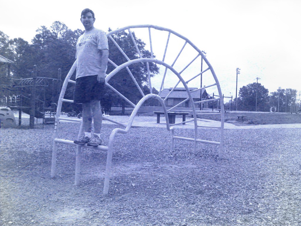
Bench Monday: Hemisphere Jungle Gym Edition
greenville southcarolina downtown realestate city sc greenvillecounty cityscape buildings aerial greenvilleaerial travel view spring sunny architecture unitedstates usa
Greenville, South Carolina Aerial
geotagged pot productplacement geotag cookingpot hbm april26 project365 fgr 365days sooc 10millionphotos andilickedit 365year2 benchmonday 3652010 365the2010edition iwonderhowmanyviewsthiswillgetfromstonerssinceitaggeditpot
Bench Monday: the "things I do for FGR" edition (116/365v2010:4/26)
hydroelectric cottonmill saludariver andersonsouthcarolina textilemill pelzersouthcarolina kendallcompany pelzermills
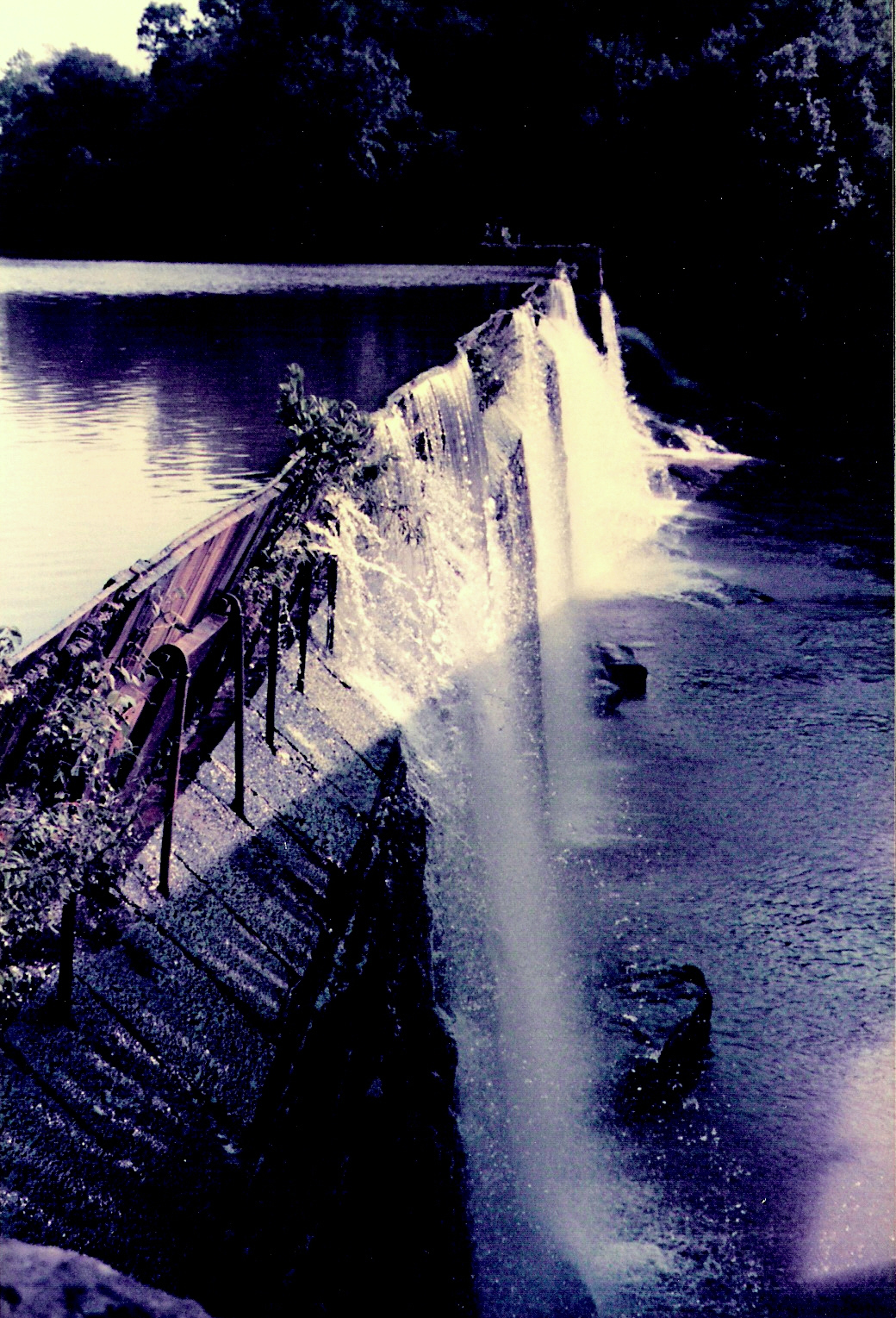
Pelzer Upper Hydro Dam
hydroelectric cottonmill saludariver andersonsouthcarolina textilemill pelzersouthcarolina kendallcompany pelzermills
Pelzer Lower Mill and Raceway
hydroelectric cottonmill saludariver andersonsouthcarolina textilemill pelzersouthcarolina kendallcompany pelzermills
The Old South Carolina Highway 8 Bridge Over the Saluda River
hydroelectric cottonmill saludariver andersonsouthcarolina textilemill pelzersouthcarolina kendallcompany pelzermills
SC Highway 8 Bridge and Dam
hydroelectric cottonmill saludariver andersonsouthcarolina textilemill pelzersouthcarolina kendallcompany pelzermills
Pelzer Upper Hydro Raceway
cottonmill andersonsouthcarolina textilemill millvillage pelzersouthcarolina kendallcompany pelzermill
Pelzer Mills Village Office & Carpenter Shop
hydroelectric cottonmill saludariver andersonsouthcarolina textilemill pelzersouthcarolina kendallcompany pelzermills
Exciter Generator
reflection mirror driving traffic suburban fastfood suburbia behind rearview sprawl dimage blight konicaminolta z6 dimagez6 konicaminoltadimagez6 konicaminoltadimage konicaminoltaz6
Memories of The Strip
car geotagged peace bumpersticker geo:lon=82296111 geo:lat=34829444
Peace Car
berries southcarolina sigma olympus greenville e5 clevelandpark 105mm ampelopsisbrevipedunculata porcelainberry swamprabbittrail olympus14xteleconverter
Ampelopsis brevipedunculata (Porcelain berry) [Explore 10-04-2012]
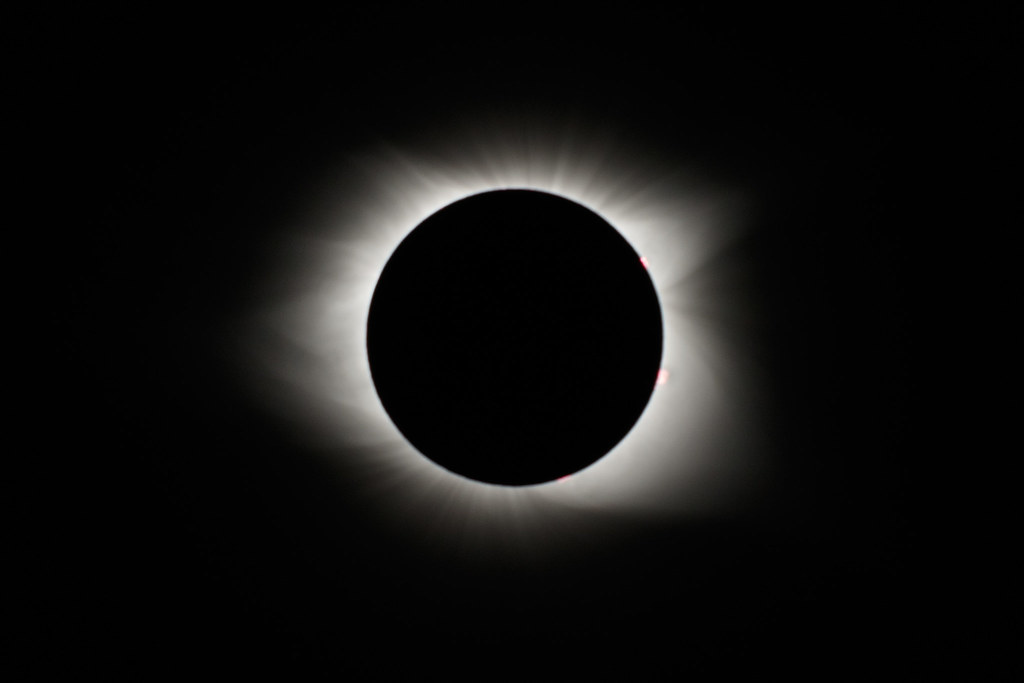
corona greenville landscape solareclipse southcarolina summer sun moon totality
Eclipse 2017
Horsetail Clouds at Cedar Falls
augustaacres greenville southcarolina unitedstates us
Lake Connestee Park-19
canon 6d sigma 35mm14 art lens upstate fountaininn southcarolina scenic landscape waterfall reedyriver rapids shoals river greenvillesc muddy sand america usa
Reedy River - Cedar Falls Park - Greenville Co., S.C.
canon 6d sigma35mm14 art lens greenvillesc upstate southcarolina cedarfalls park reedyriver rapids shoals stream rocks southernlife recreation swimming fishing outdoor hike scenic landscape southern america usa
Cedar Falls - Reedy River - Greenville, S.C.
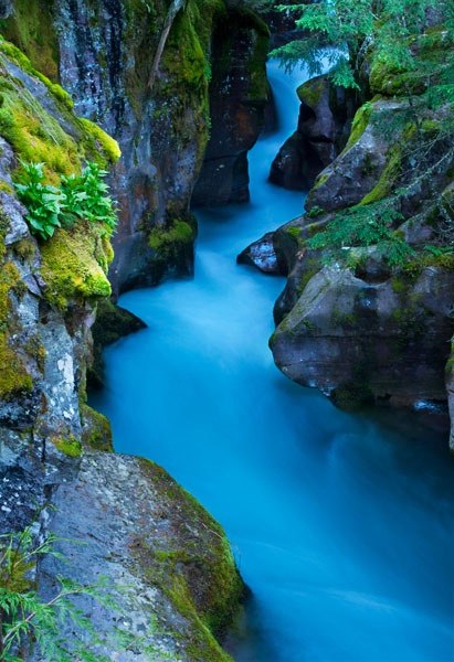
Avalance Gorge
canon 6d sigma 35mm14 art lens greenvillesc cedarfallspark upstate southcarolina stream river rapids recreation white water southern scenic landscape america usa drone aerial reedyriver
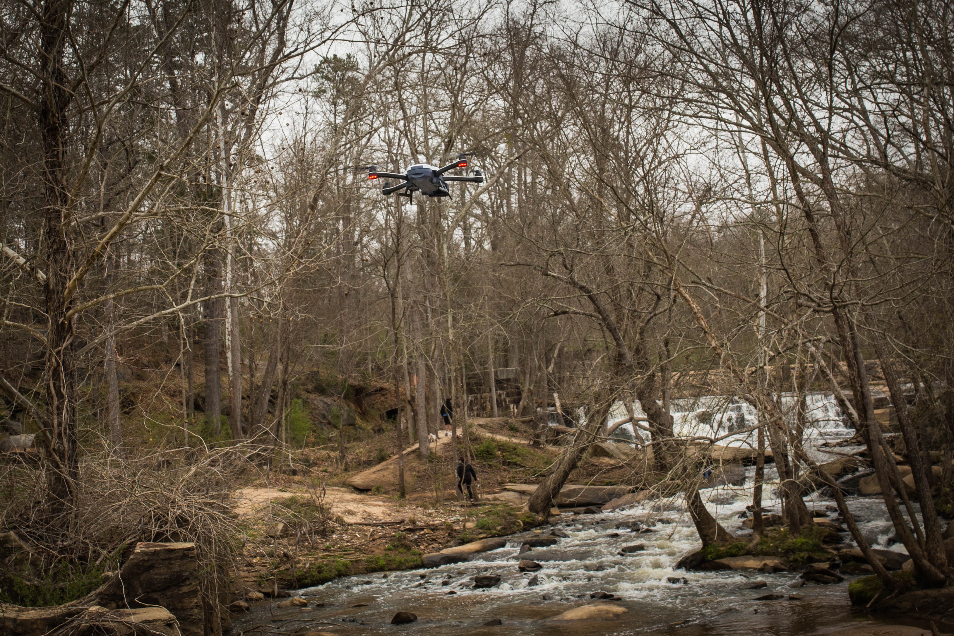
Drone - Cedar Falls Park - Greenville S.C.
sky reflection nature water clouds outdoors pano wildlife panoramic sooc lgg3
Lake Conestee Panoramic
nikond90
Cedar Falls - Fountain Inn, S.C.
geotagged jump jumping bokeh 10 widescreen coke ten soda cocacola geotag springtime sodapop werehere bokehlicious 10millionphotos ltlt hereios lovetoleapthursday
highly caffeinated leap!
greenville, sc garden
plane airport day wwii southcarolina worldwarii runway greenville partlycloudy collingsfoundation runwaycafe greenvilledowntownairport wingsoffreedomtour greenvillemunicipalairport projectweather
Wings of Freedom Tour-4
park playground bench geotagged geocaching widescreen bluesky cloudless geotag columbusday greenville mauldin greenvillesc hbm greenvillesouthcarolina october11 project365 fgr 365days 10millionphotos 30secondtimer 365year2 benchmonday 3652010 365the2010edition gc1rxe1
Bench Monday: Showing Off With The 30-Second Timer Edition (284/365v2010:10/11)
cedarfallspark greenvillecounty rambing reedyriver shoals southcarolina pelzer unitedstates flickrart portfolio
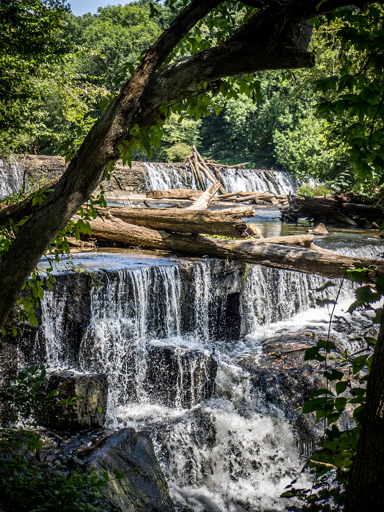
Cedar Falls Park-004
2017 20171227 conestee conesteesouthcarolina congareeriverdrainagebasin congareeriverwatershed december december2017 greenville greenvillecounty greenvillecountysouthcarolina greenvillesouthcarolina greenvillemetropolitanarea greenvillespartanburg img5743 lakeconesteenaturepark piedmont piedmontforest piedmontlandscape reedyriver reedyriverlandscape saludariverdrainagebasin saludariverwatershed santeeriverdrainagebasin santeeriverwatershed southcarolina southcarolinapiedmont southcarolinalandscape upcountry upcountrysouthcarolina upstate upstatesouthcarolina cloudy landscape mud muddyriver naturearea naturepreserve naturereserve northernsouthcarolina northwesternsouthcarolina orangish orangishmud orangishriver orangishwater overcast overcastlandscape redclaydirt redclaymud redclaysoil riparianforest river riverlandscape riverinelandscape stream temperatedeciduousforest ultisol viewfromabridge winterforest winterlandscape winterwoodland southernouterpiedmont
Orangish muddiness of the famous river the Reedy River of northwestern South Carolina.
plane airport wwii southcarolina b17 worldwarii mustang runway flyingfortress greenville p51 collingsfoundation runwaycafe greenvilledowntownairport wingsoffreedomtour greenvillemunicipalairport
Wings of Freedom Tour-2
Mommas landscaping