Elevation of 14- Papaya Farms Rd, Pāhoa, HI, USA
Location: United States > Hawaii > Hawaii County > Pāhoa >
Longitude: -154.85615
Latitude: 19.521582
Elevation: 54m / 177feet
Barometric Pressure: 101KPa
Elevation Map:
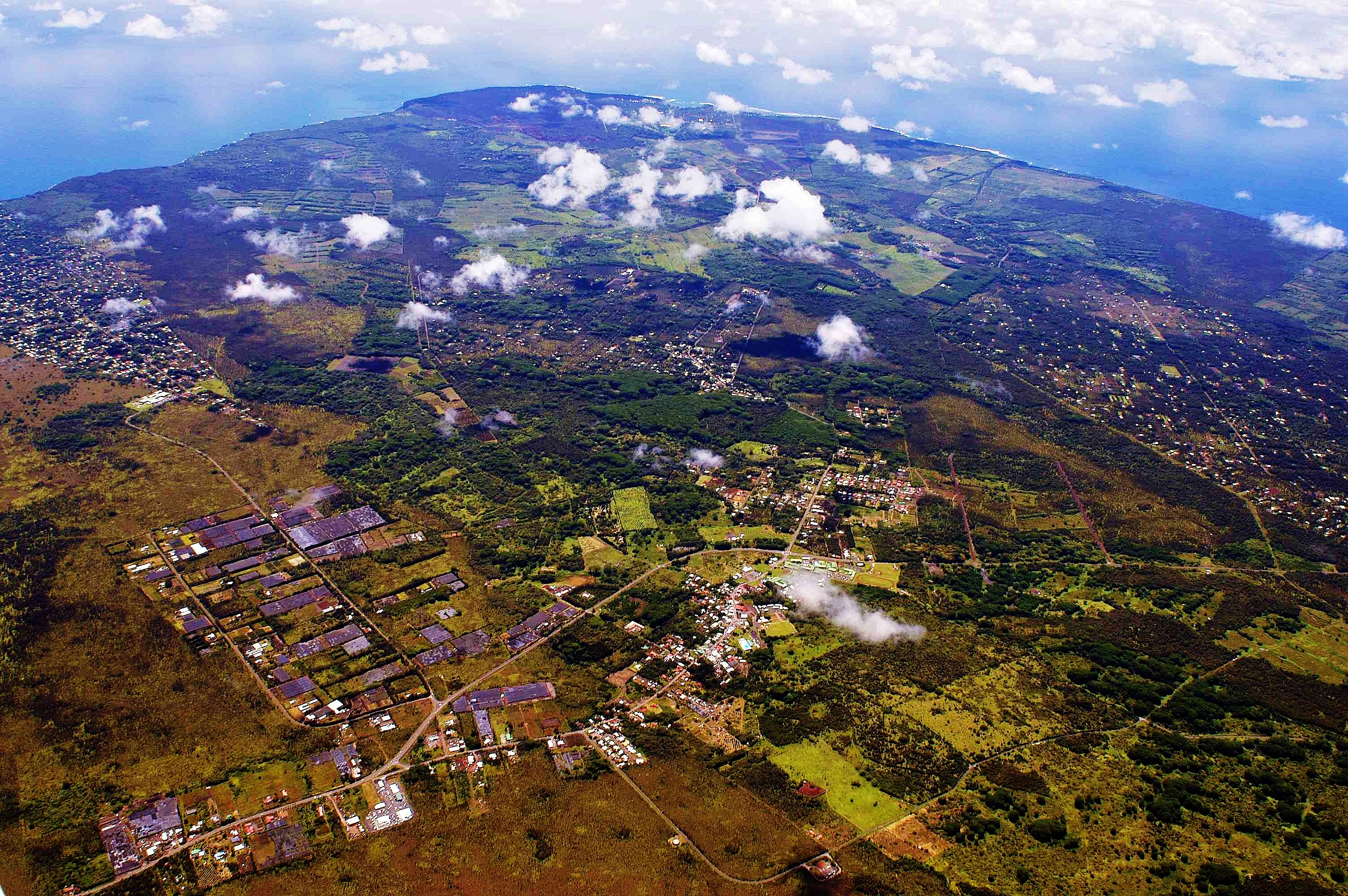
Satellite Map:
Related Photos:
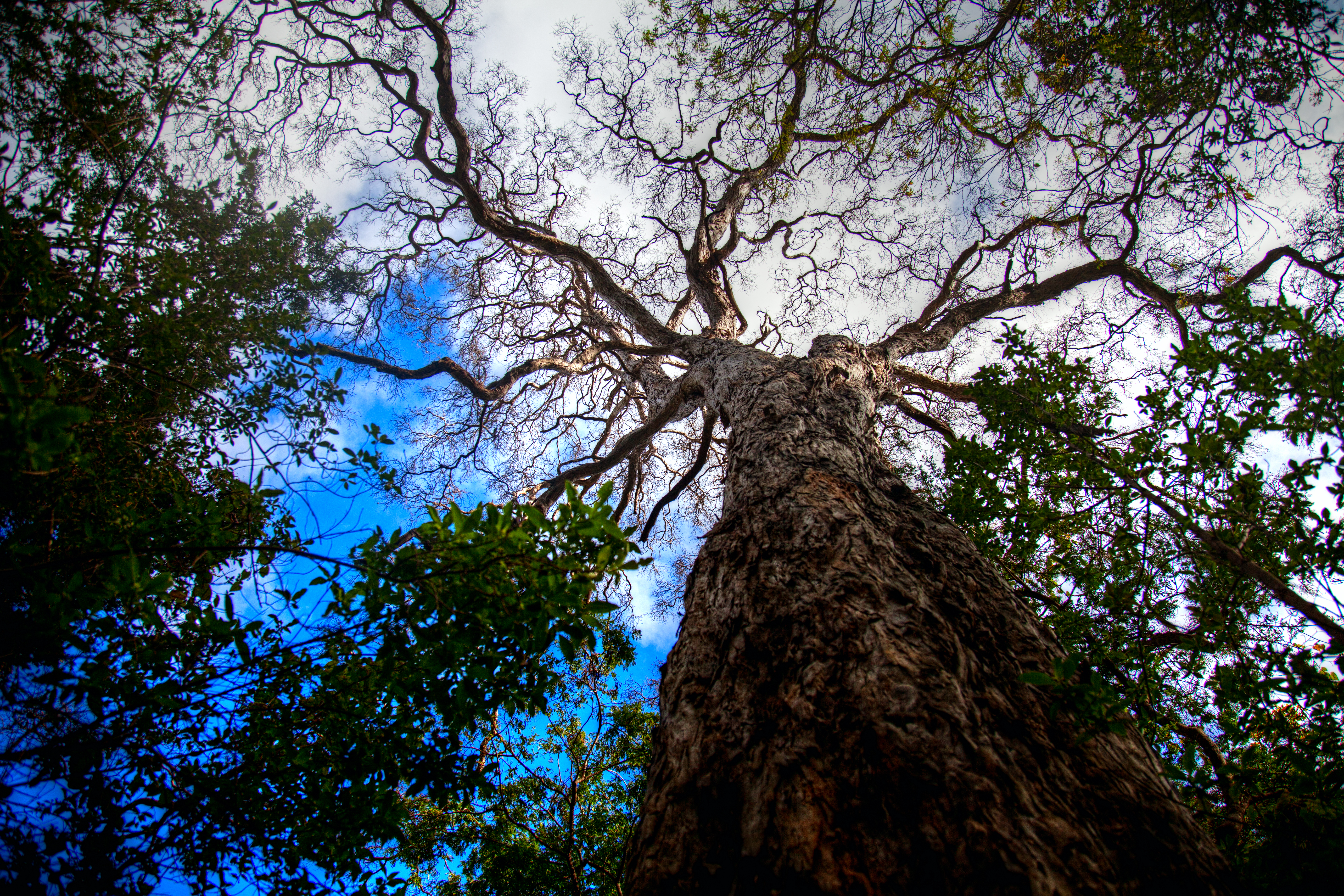
Tree Top View
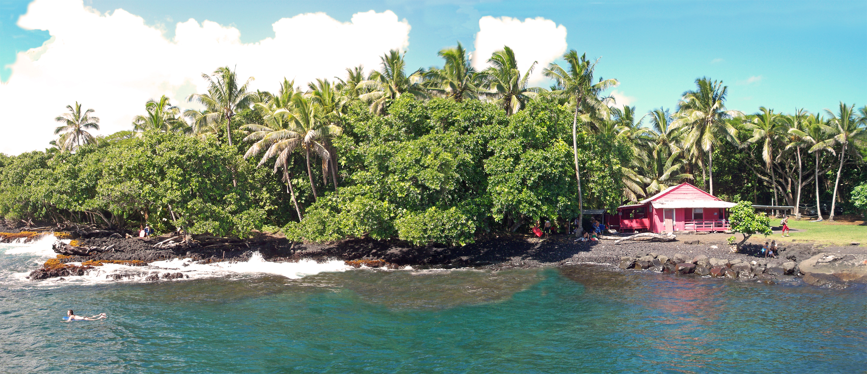
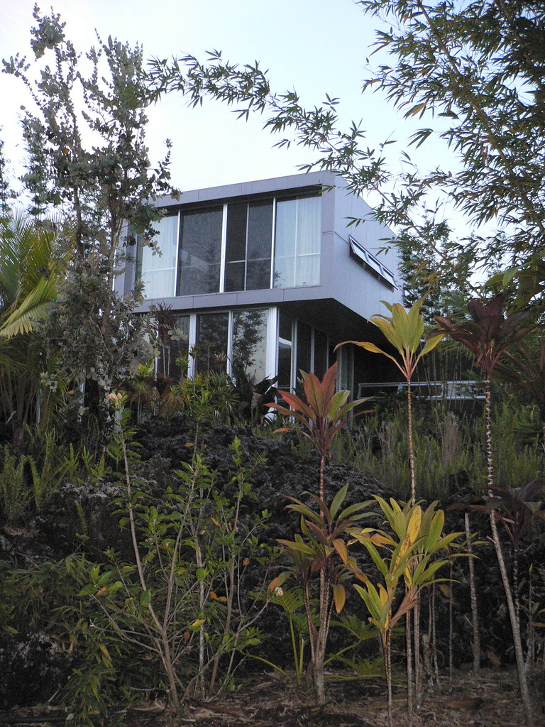
Little Pink House of Pohoiki

Sunrise view from our reef-front cottage in Kapoho
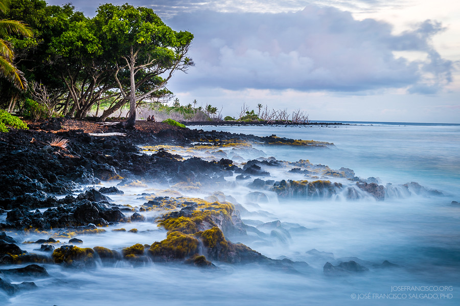
View from the Red Road (DSC_3830)
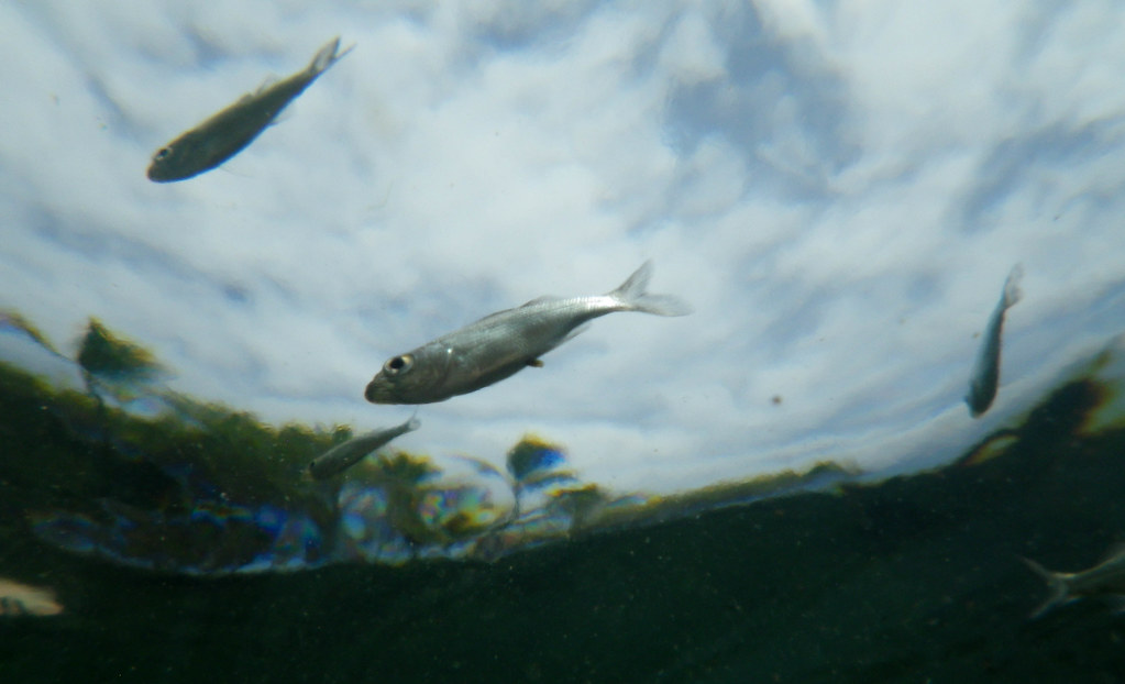
From a Fish 's Point of View
2006: Pahoa and Puna, Hawai'i - In the path of Kilauea Volcano lava
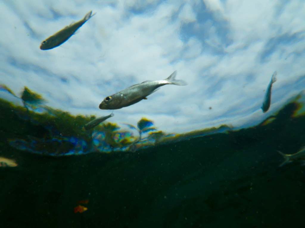
From a Fish 's Point of View

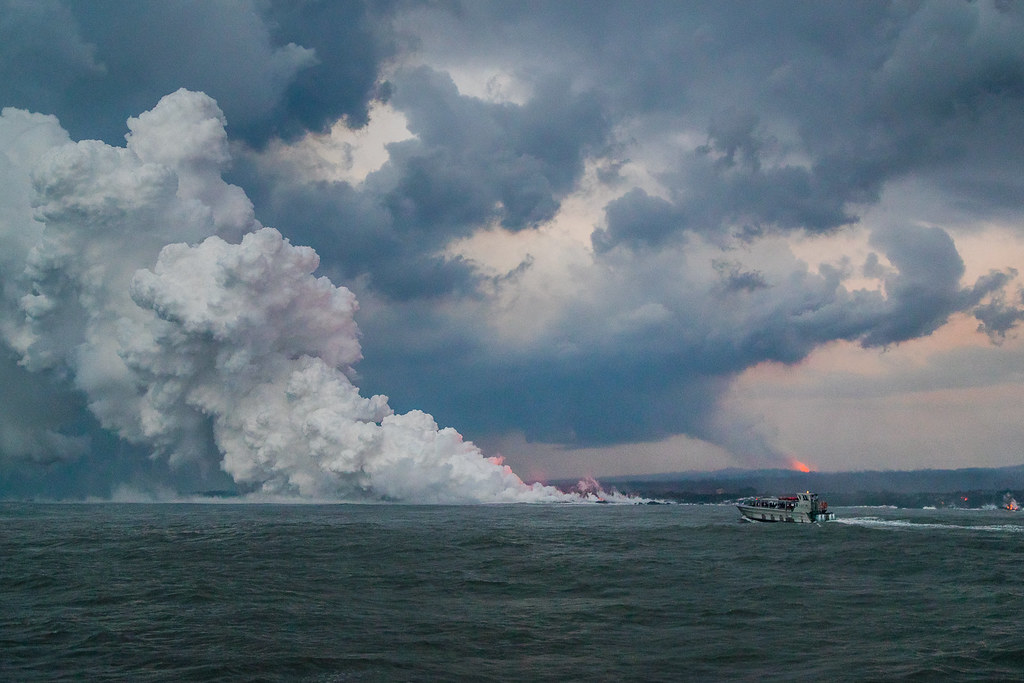
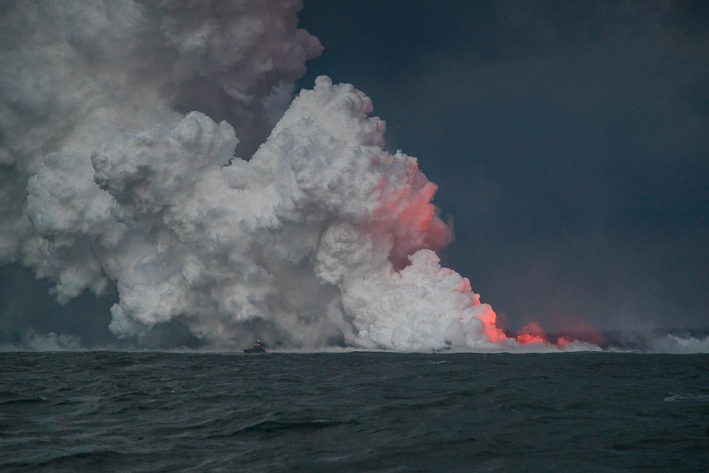
Hawaii Kilauea Volcano Lava Laze Boat Tour View 4

Adam and Eve
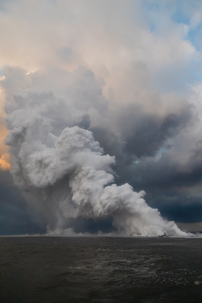
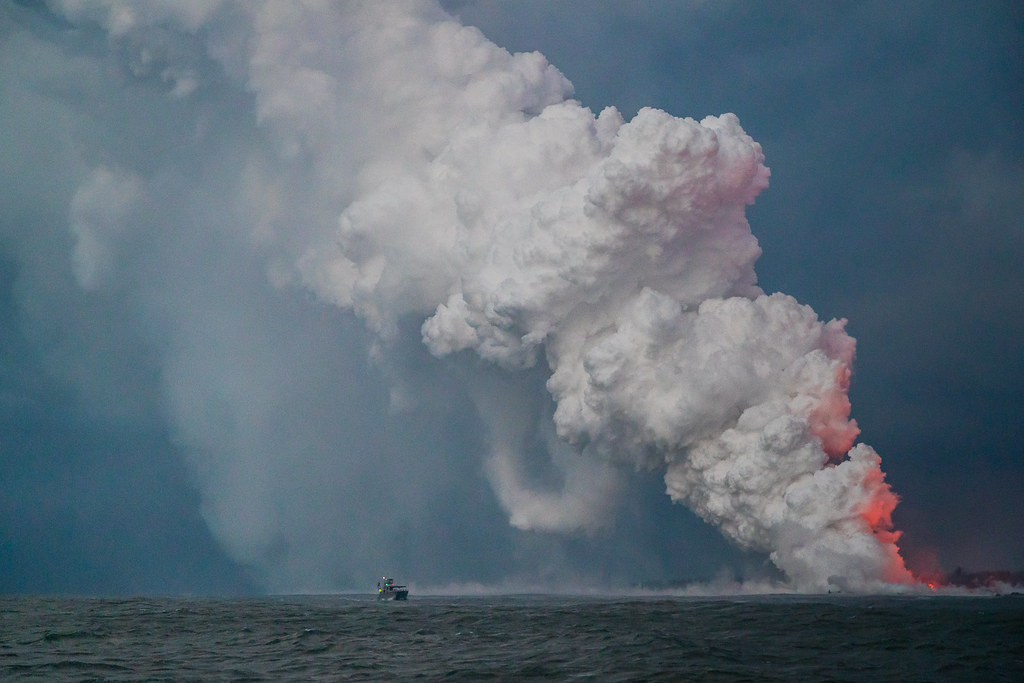
Hawaii Kilauea Volcano Lava Laze Boat Tour View 6
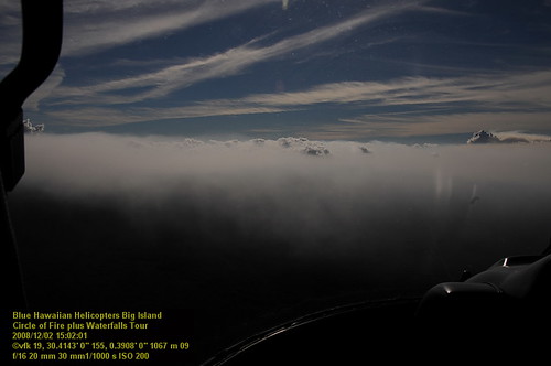
HW7001VF2_4502.JPG

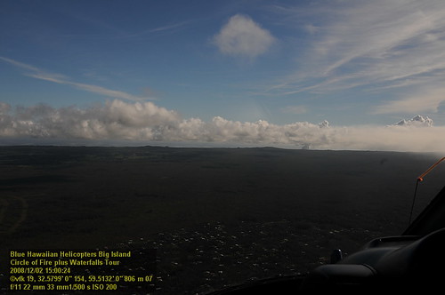
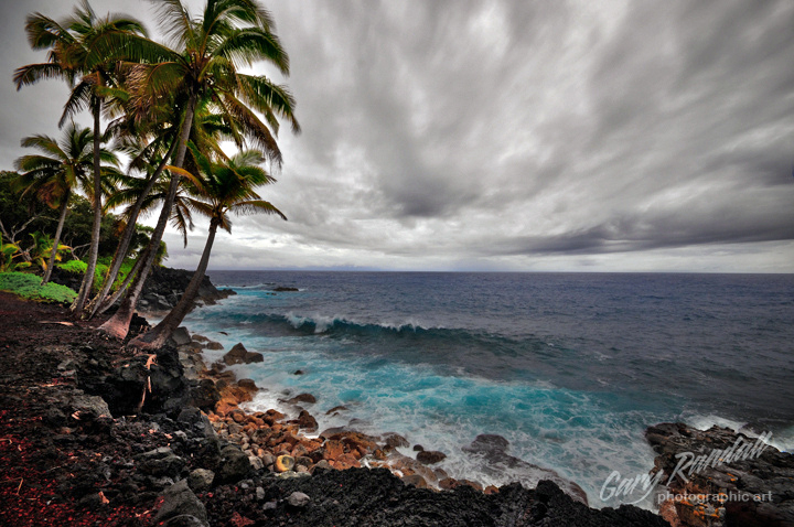
A grey morning, but still a tremendous view of the coast.
Hawaii Kilauea Volcano Lava Laze Boat Tour View 5

Kehena Beach 001
Hawaii Kilauea Volcano Lava Laze Boat Tour View 3
HW7008VF2_4509.JPG

Lovely view
Cruising along Red Road on #thebigisland of #Hawaii nothing better than a cruise with this view #naturalbeauty
Hawaii Kilauea Volcano Lava Laze Boat Tour View 1
Main House

We can pickle that
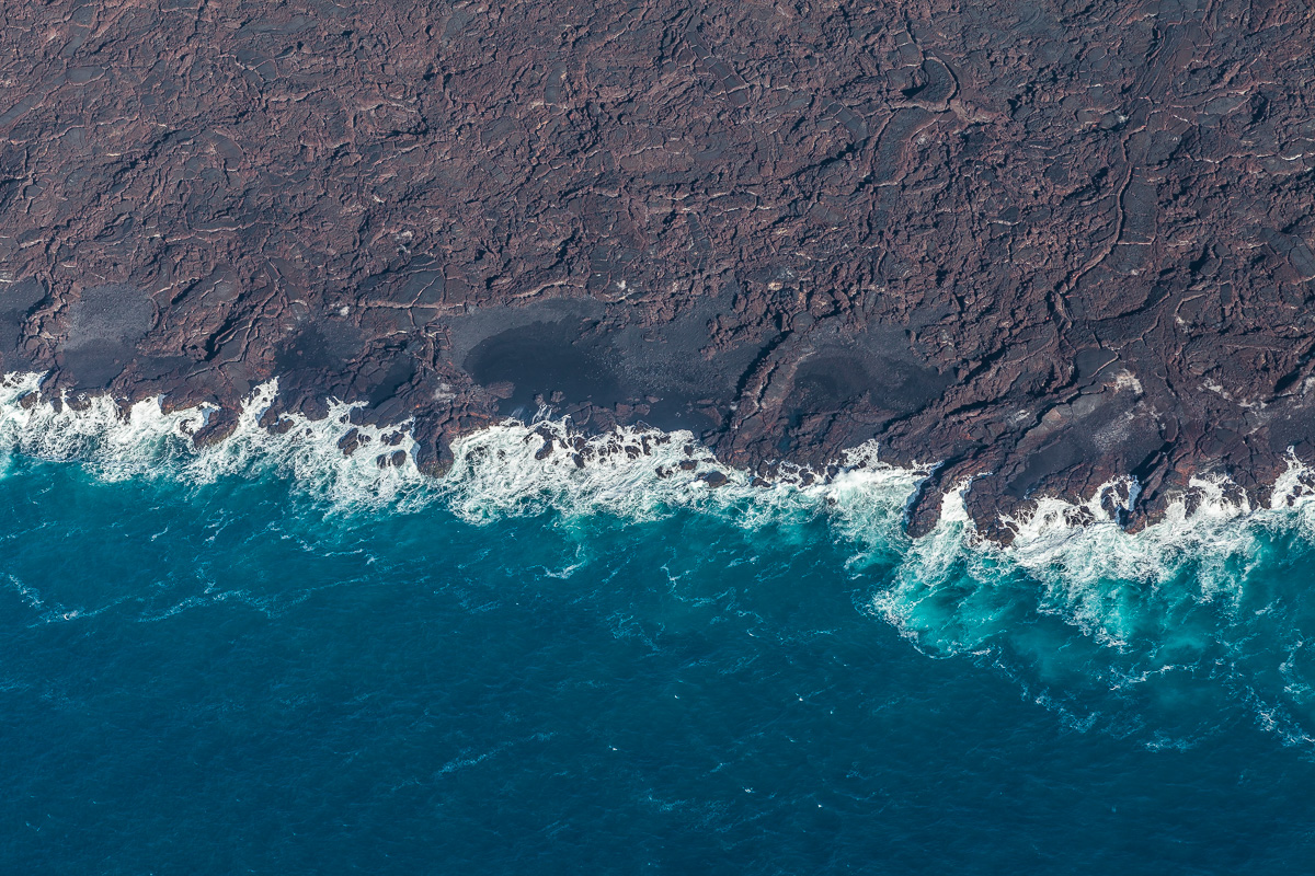
New Coast
Isaac Hale Beach Park [10 sec]

Sunrise Mountain

Kilauea Hawaii Volcano - Fissure 8

Leilani Eruption

Black Flood
Kalapana Sunset
Blue Hawaii

Hawaiian Coast on Big Island
Ironwood Iron Will

Tree Tunnel Puna

IMG_8568.jpg

IMG_8528.jpg

20090318-005

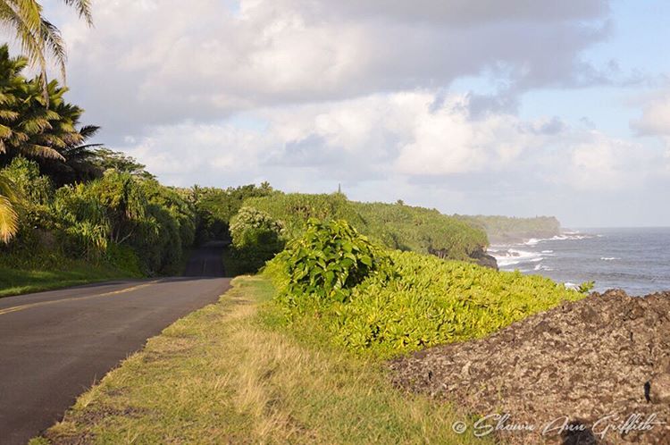
Red Road
Pacific Ocean

My favorite drive
Topographic Map of 14- Papaya Farms Rd, Pāhoa, HI, USA
Find elevation by address:

Places near 14- Papaya Farms Rd, Pāhoa, HI, USA:
14-266 Papaya Farms Rd
14-300 Pakaka Rd
Waa Waa Road
Nanawale Park
Government Beach Road
Nanawale Forest Resv
14-520 Seaview Rd
15-2793 Opae St
15-2780 Oio St
15-2828 Mahimahi St
15-2795 Manini St
15-280 Puni Makai Loop S
15-111 Kahakai Blvd
15-142 Kahakai Blvd
15-140 Kahakai Blvd
15-2782 Malolo St
15-2738 Popaa St
14-600 Flower Rd
15-119 Puhi St
15-2789 Kala St
Recent Searches:
- Elevation of Bilohirs'k
- Elevation of 30 Oak Lawn Dr, Barkhamsted, CT, USA
- Elevation of Luther Road, Luther Rd, Auburn, CA, USA
- Elevation of Unnamed Road, Respublika Severnaya Osetiya — Alaniya, Russia
- Elevation of Verkhny Fiagdon, North Ossetia–Alania Republic, Russia
- Elevation of F. Viola Hiway, San Rafael, Bulacan, Philippines
- Elevation of Herbage Dr, Gulfport, MS, USA
- Elevation of Lilac Cir, Haldimand, ON N3W 2G9, Canada
- Elevation of Harrod Branch Road, Harrod Branch Rd, Kentucky, USA
- Elevation of Wyndham Grand Barbados Sam Lords Castle All Inclusive Resort, End of Belair Road, Long Bay, Bridgetown Barbados