Elevation of 14 Le Bousquet, Malbo, France
Location: Italy > Auvergne Rhône-alpes > Cantal > Malbo >
Longitude: 2.7767289
Latitude: 44.9652702
Elevation: 1143m / 3750feet
Barometric Pressure: 88KPa
Elevation Map:
Satellite Map:
Related Photos:

AUVERGNE 1984-08
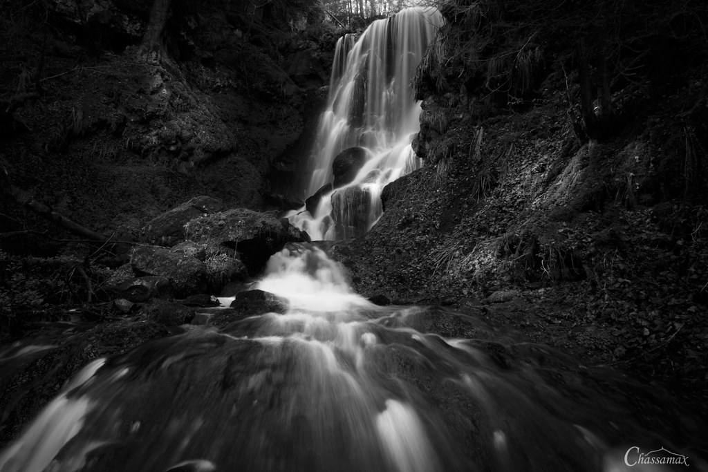
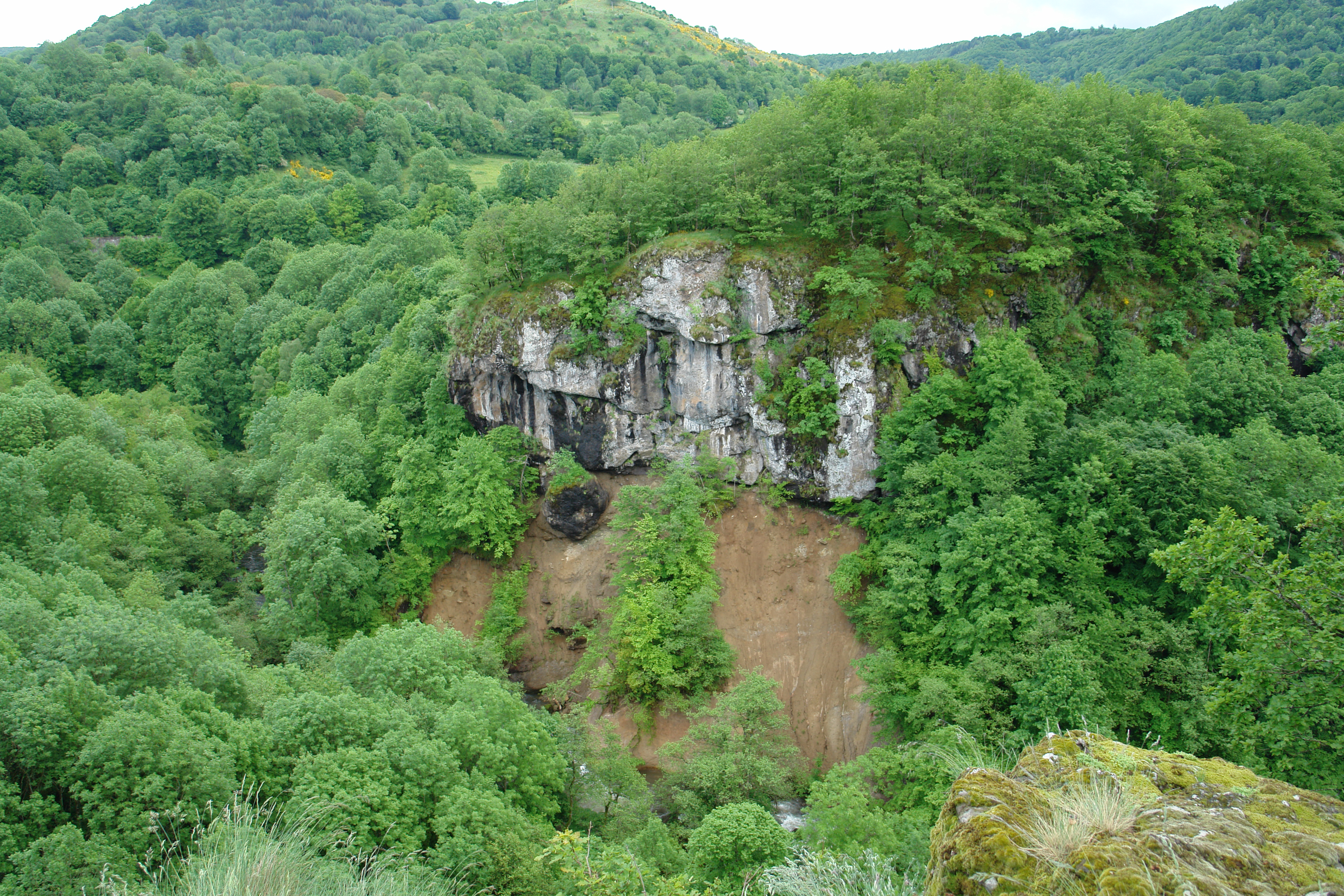
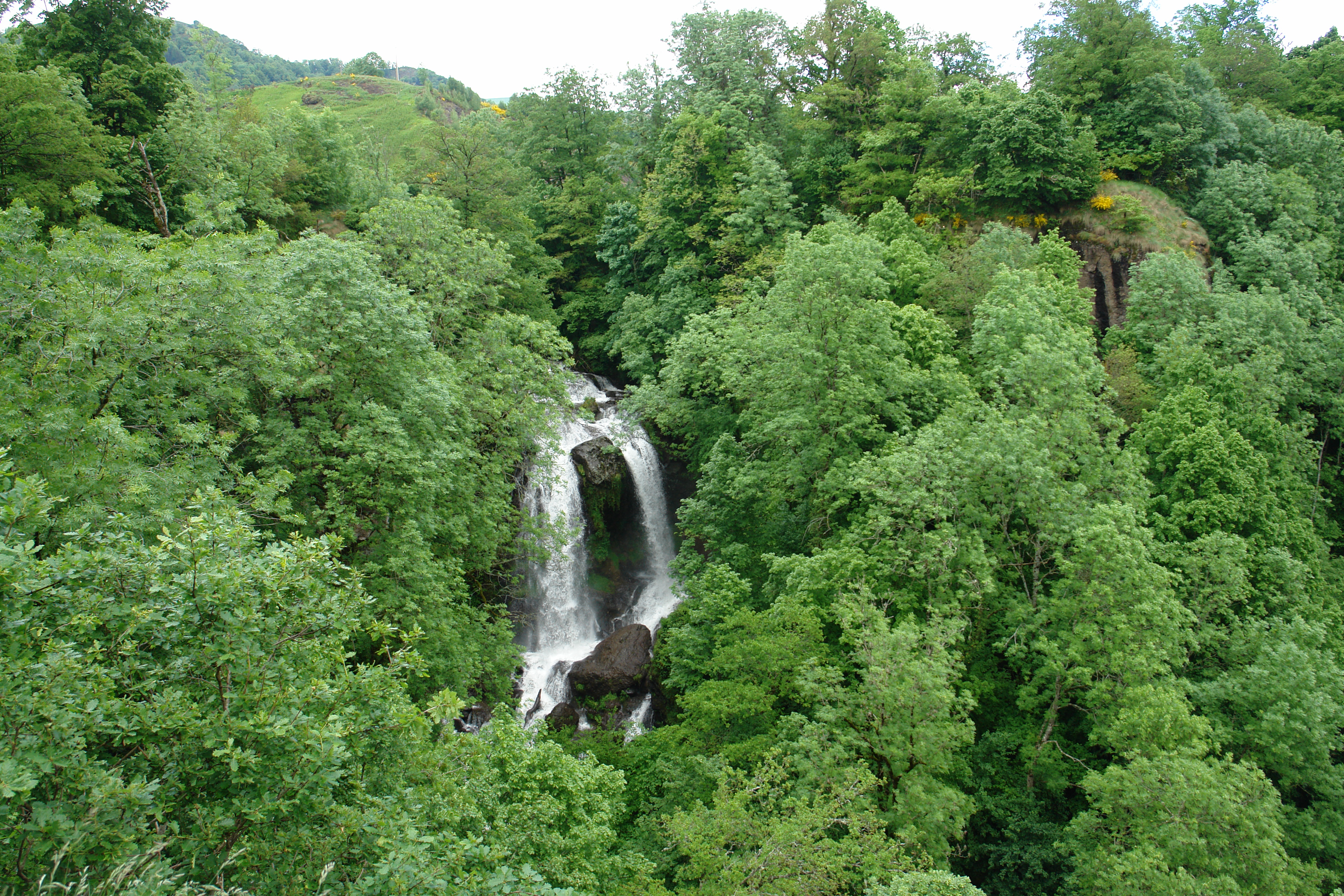
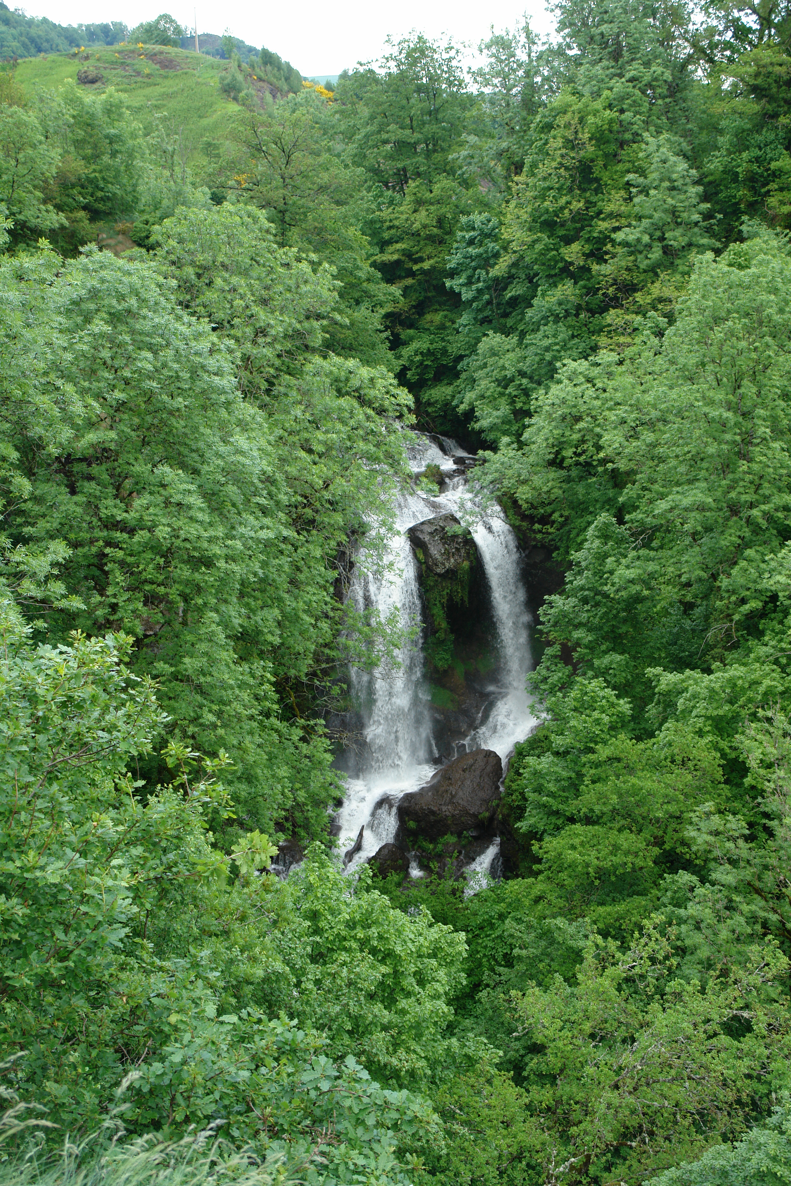
Cascade de Chambeuil - Auvergne - France

Chevaux en Auvergne 2001-06
Somewhere in France

Chevaux en Cantal 2001-06
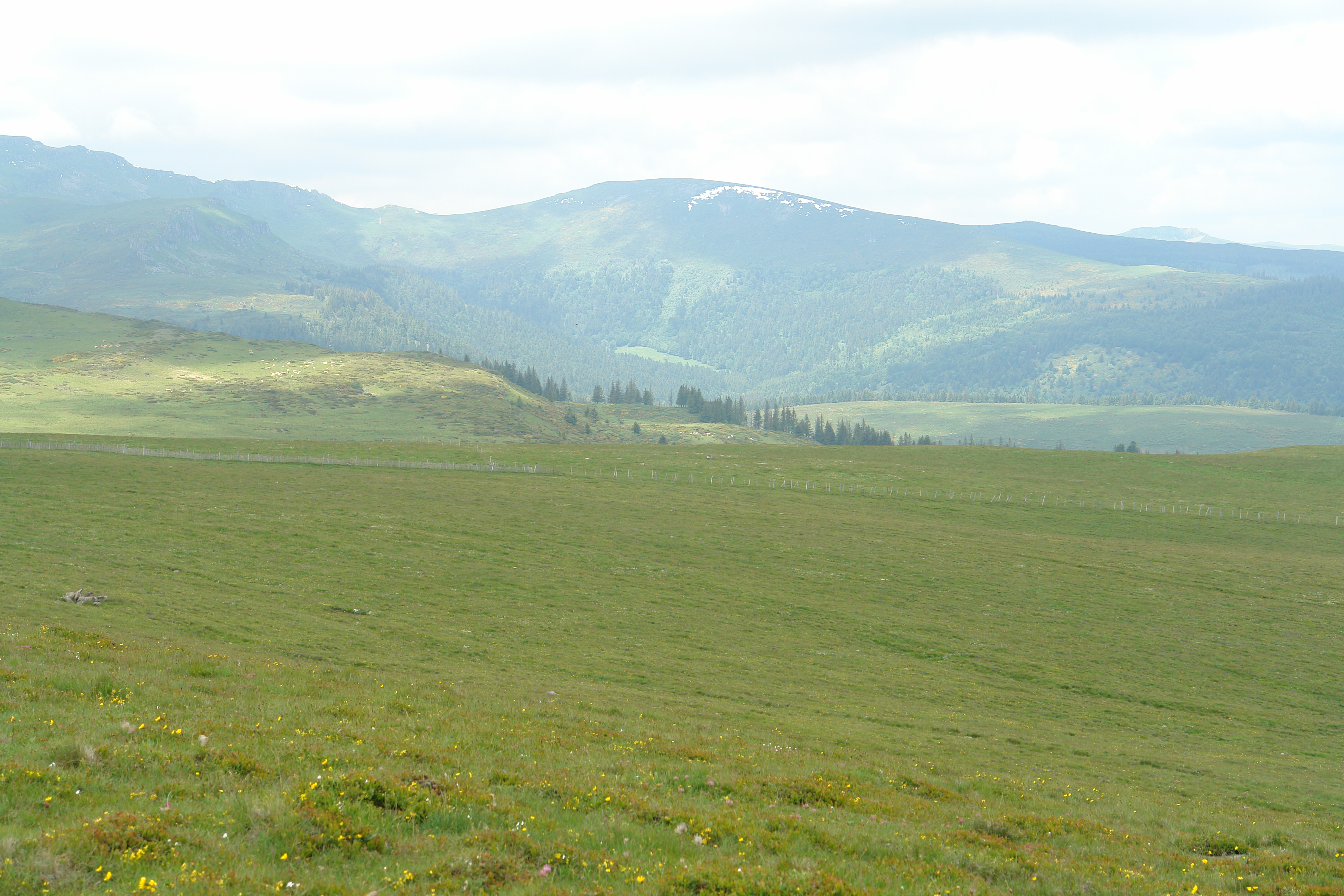
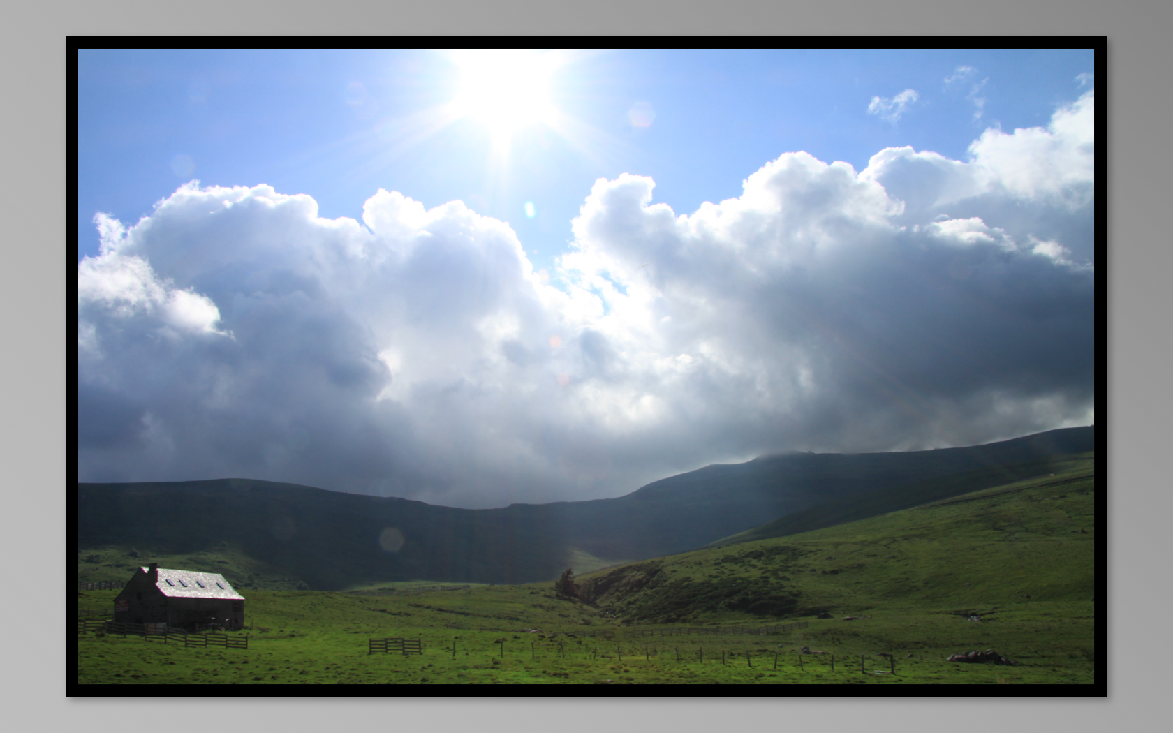
View from the Planeze
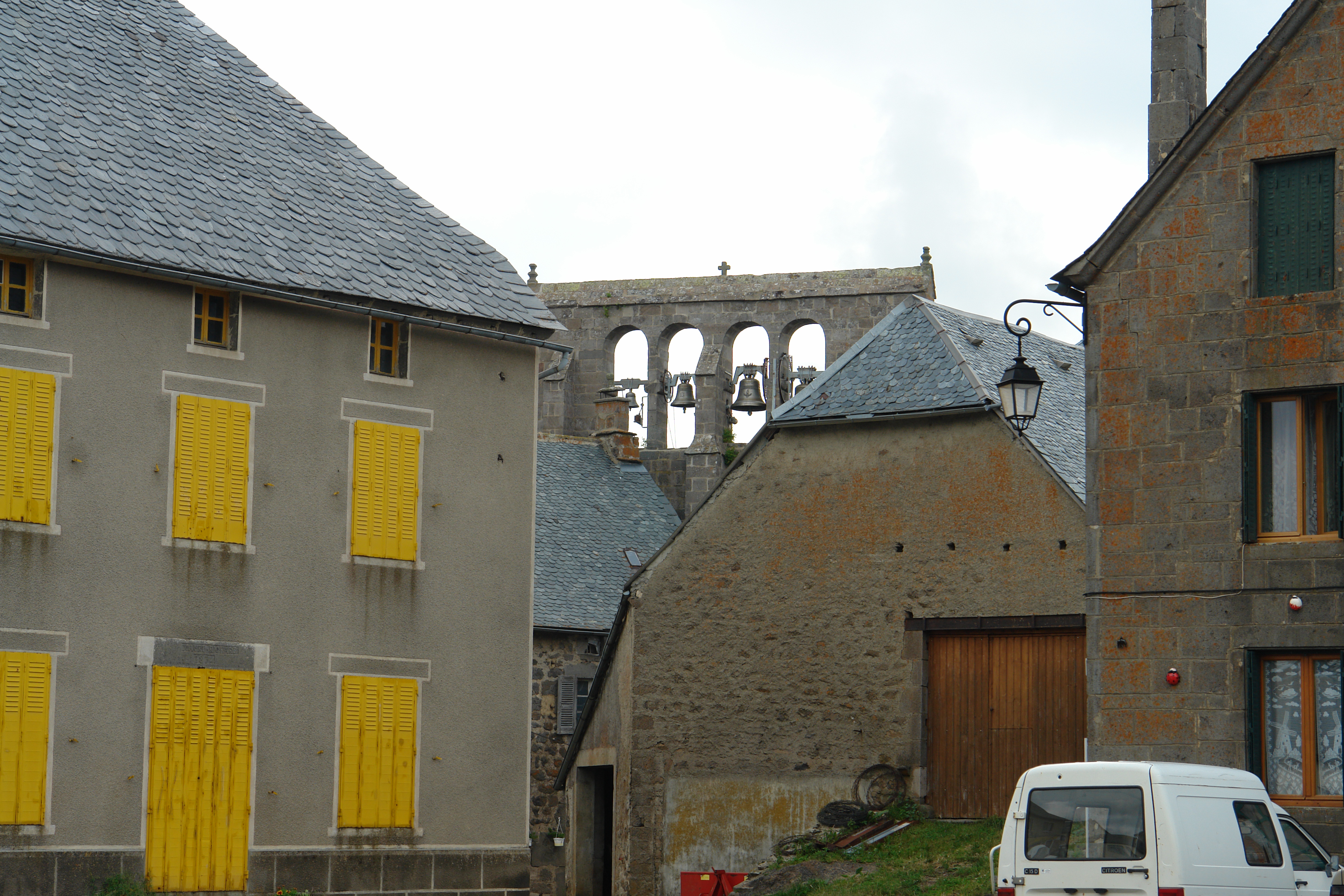
A typical belfry of the region, Valuejols
DSC08187.JPG
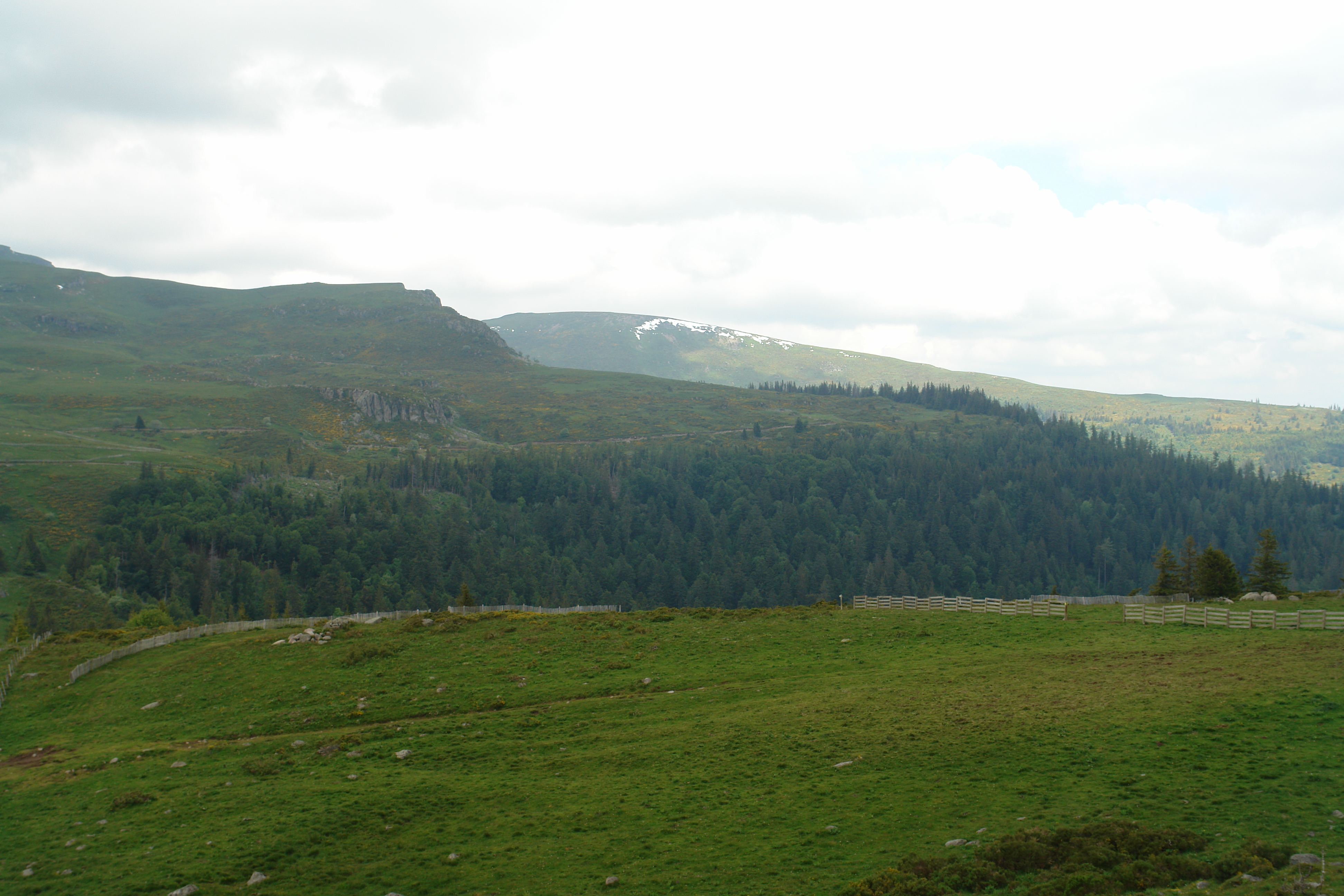
View from above the Col de Prat de Bouc
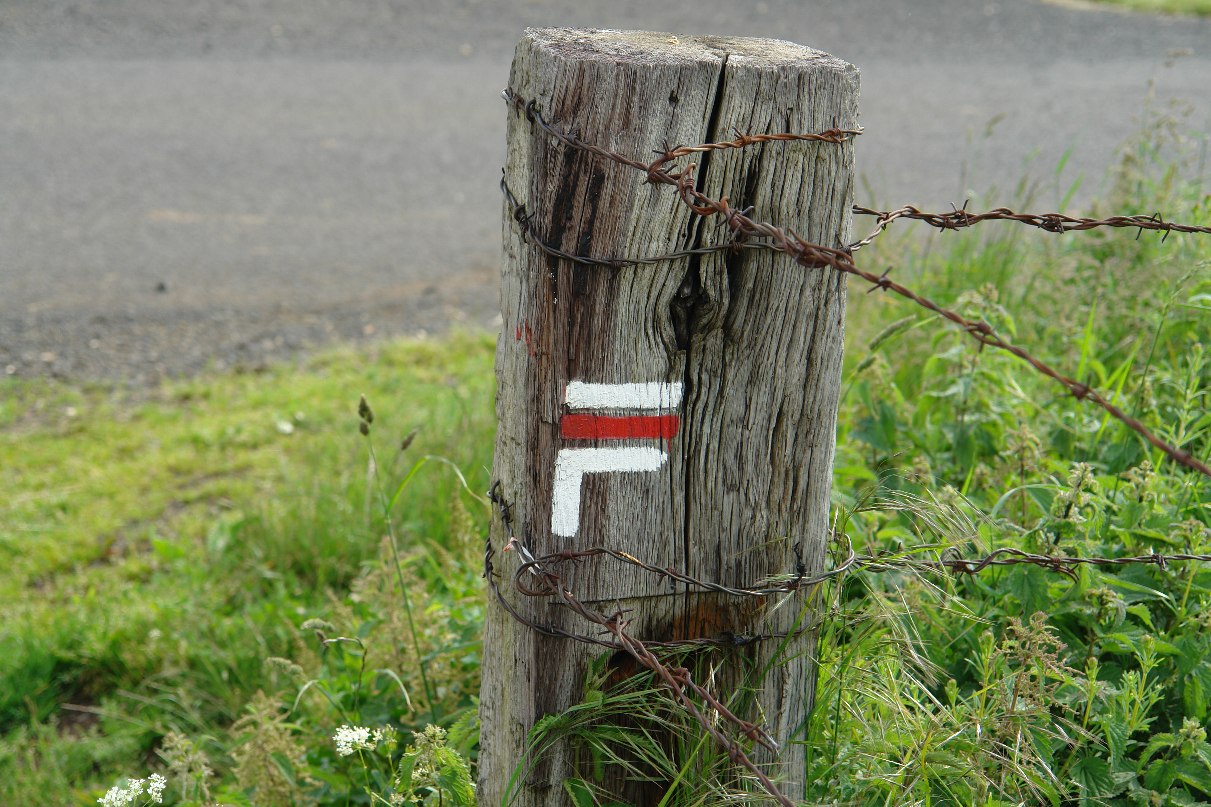
A sophisticated GR sign
DSC08185.JPG
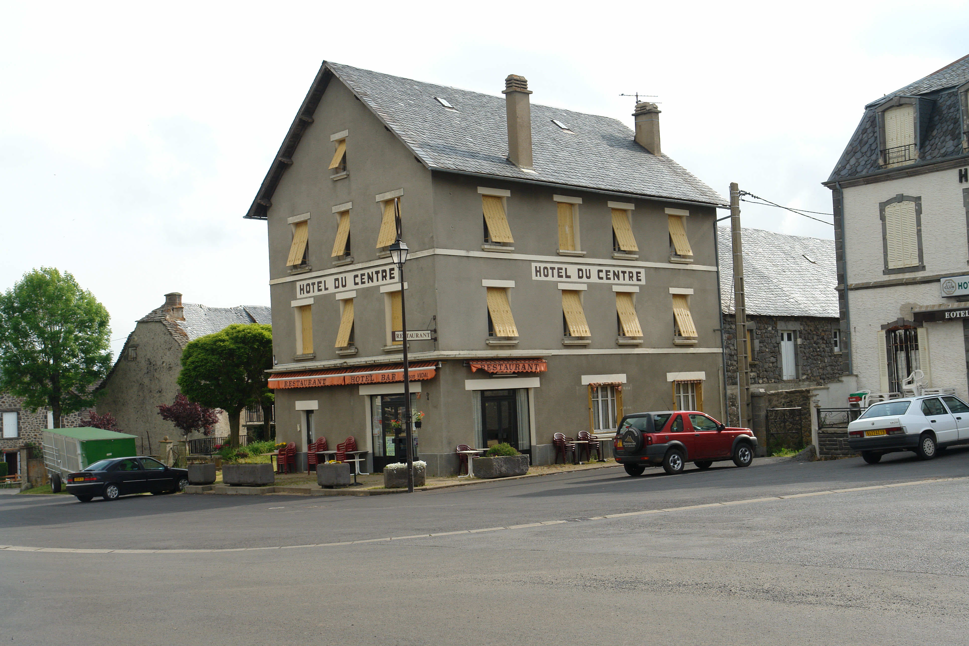
The Hotel du Centre Valuejols
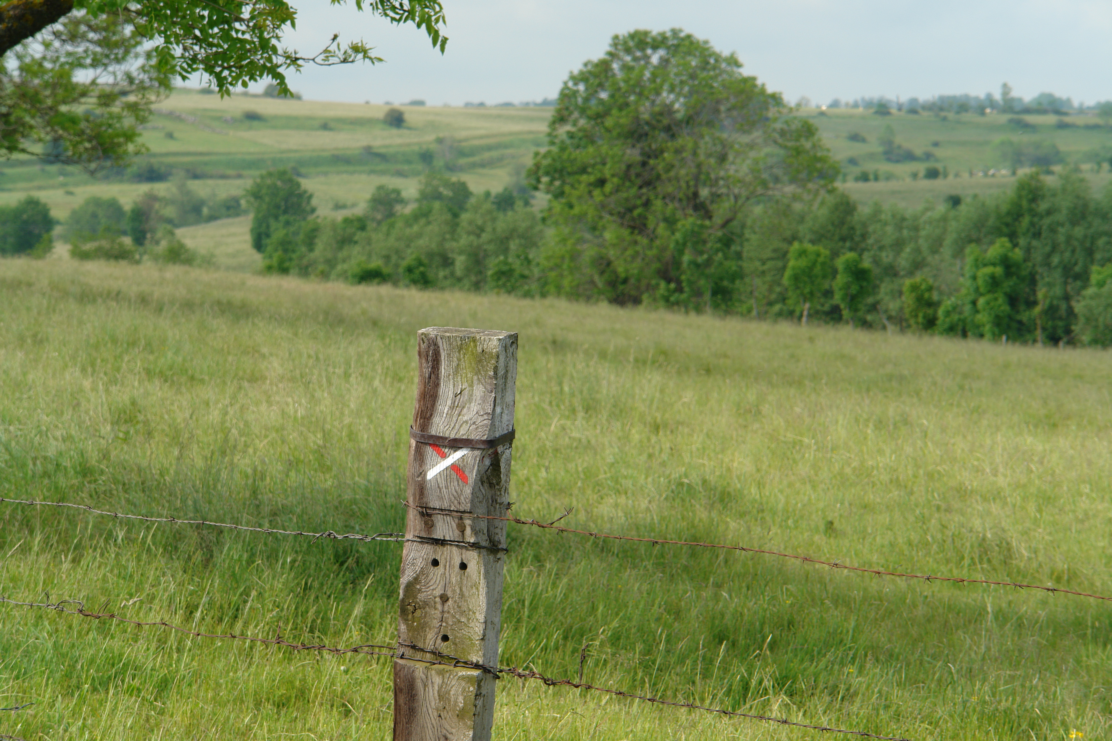
Another sophisticated GR sign
DSC08191.JPG
DSC08189.JPG
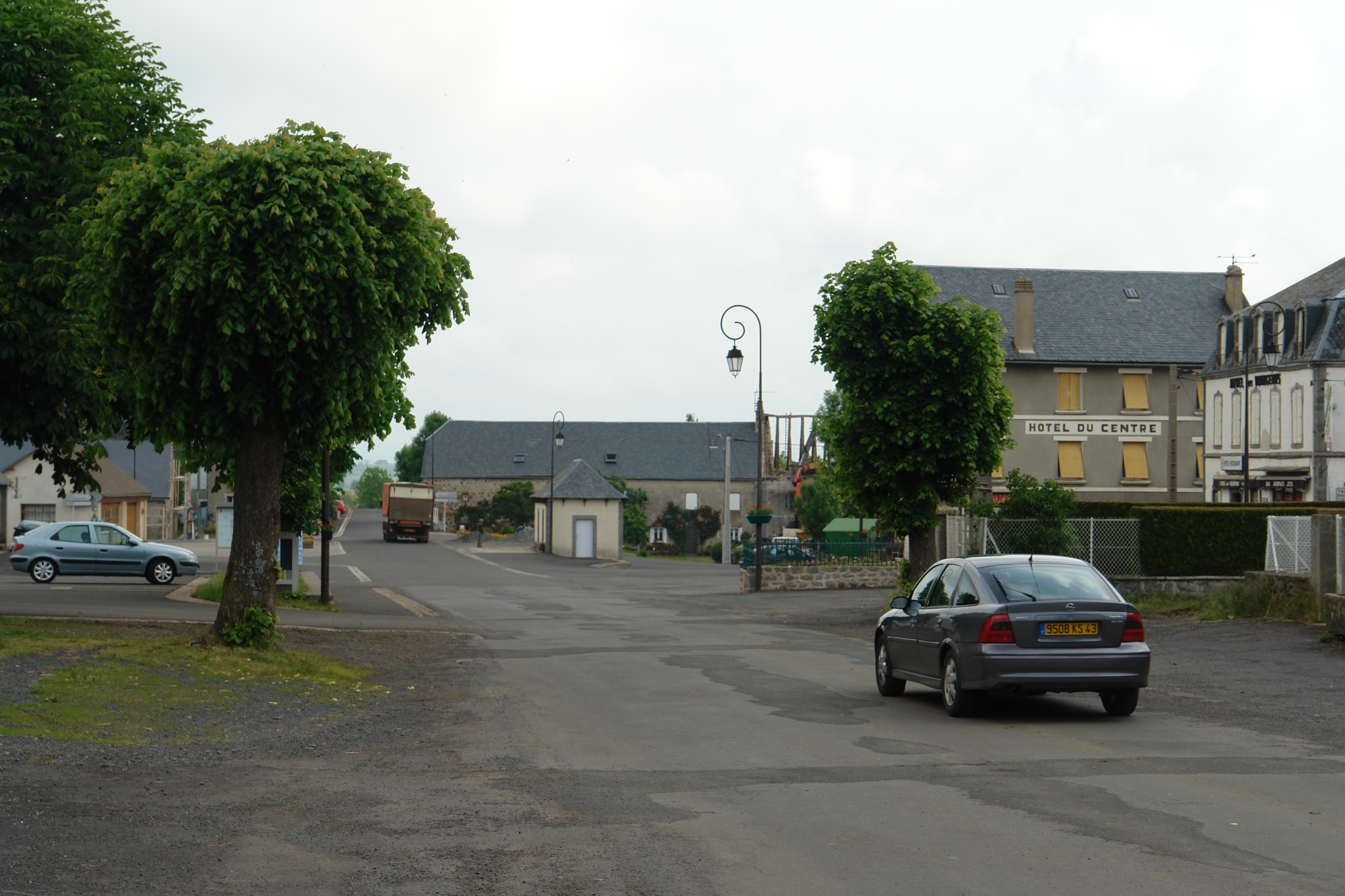
Main Street, Valuejols
DSC08188.JPG
DSC08186.JPG
DSC08190.JPG
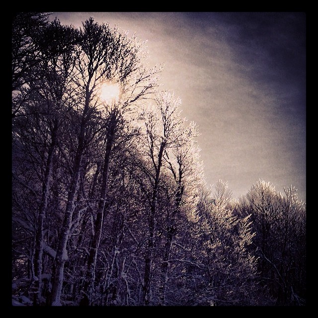
#mountain #trees #ice #snow #winter #holiday

France > Auvergne > Cantal
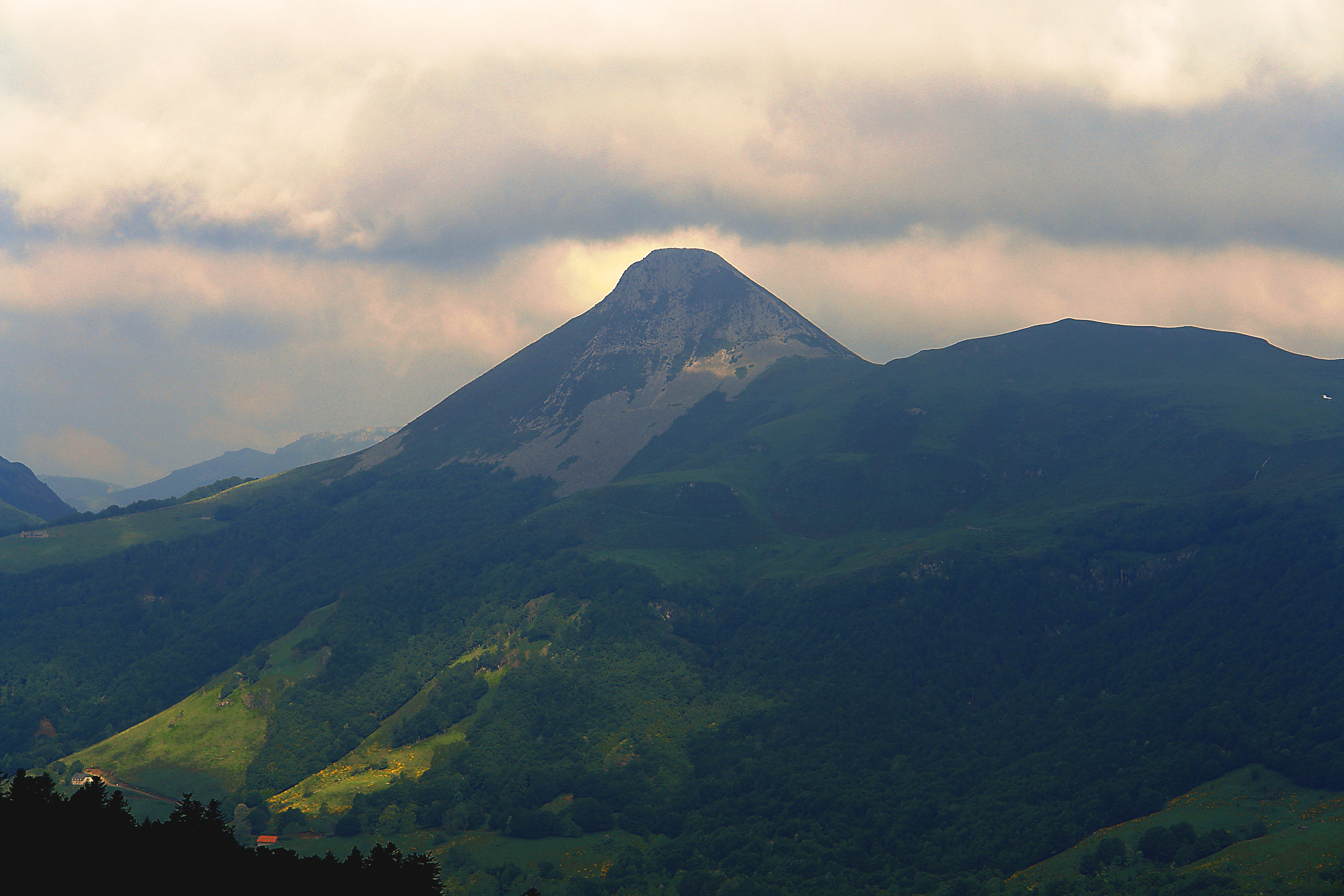
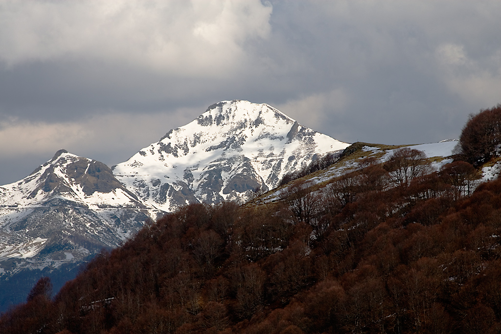
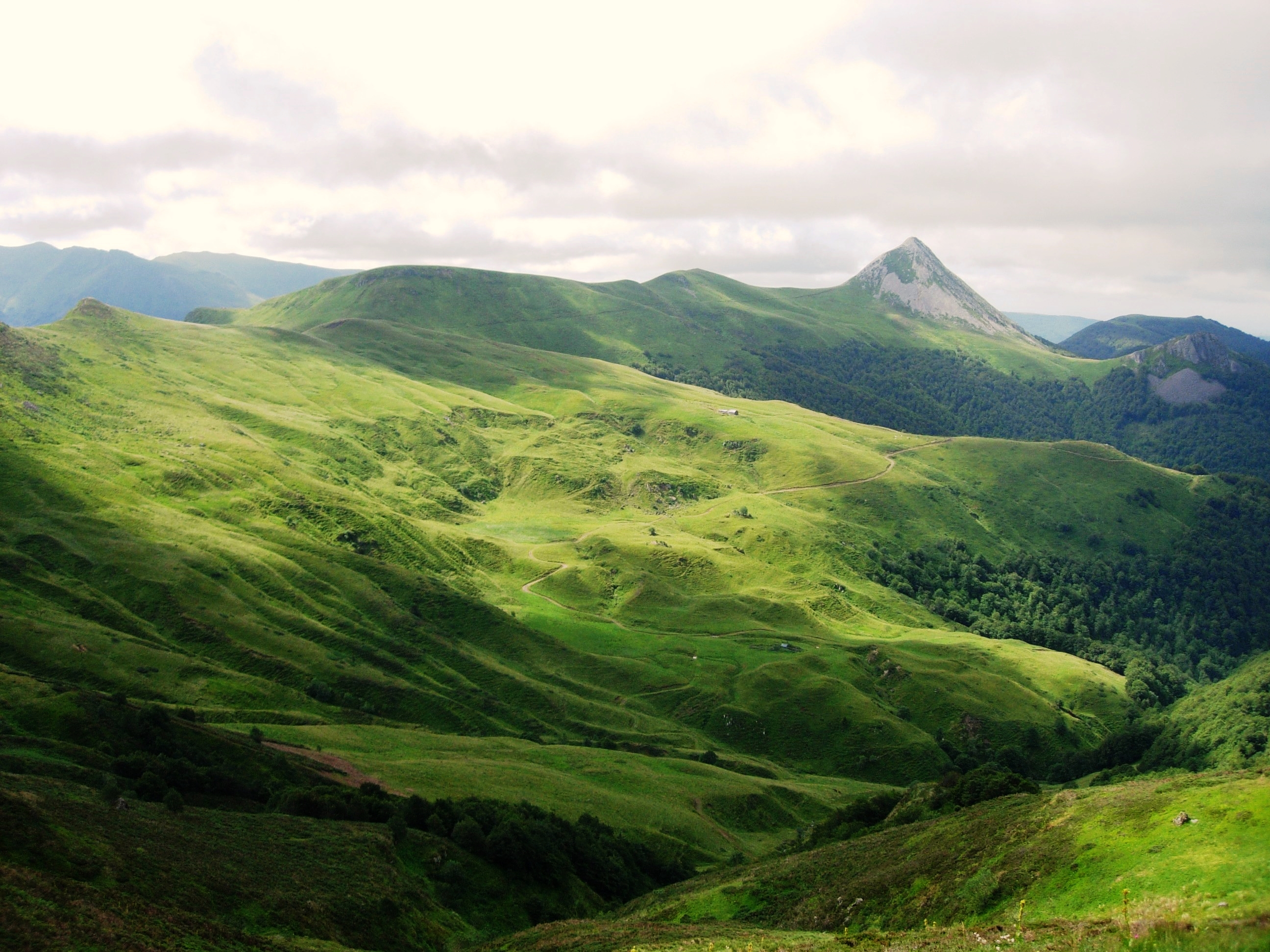
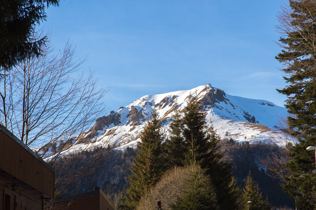
Puy Griou from the Plomb du Cantal
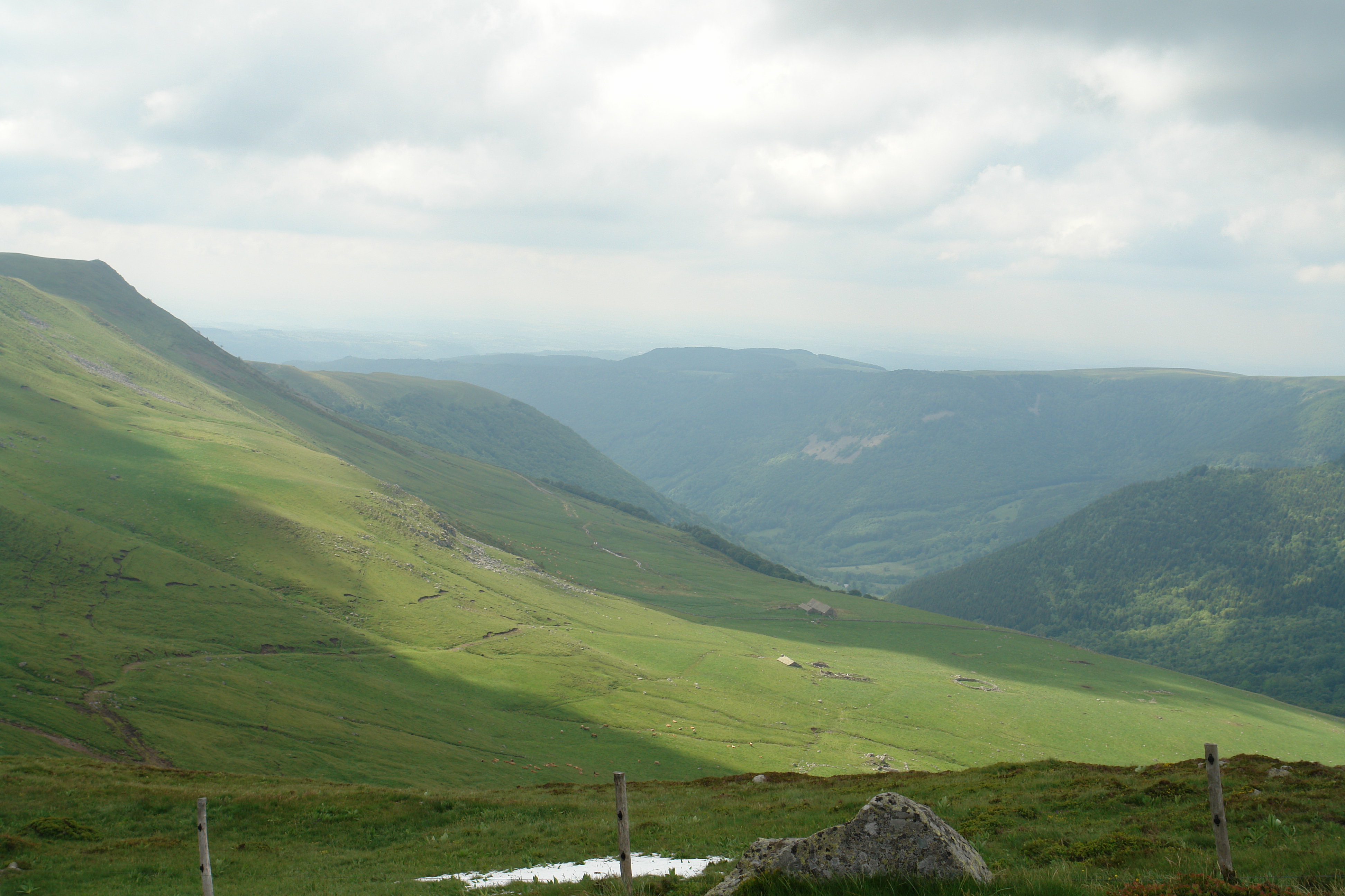
On the eastern slopes of the Plomb du Cantal
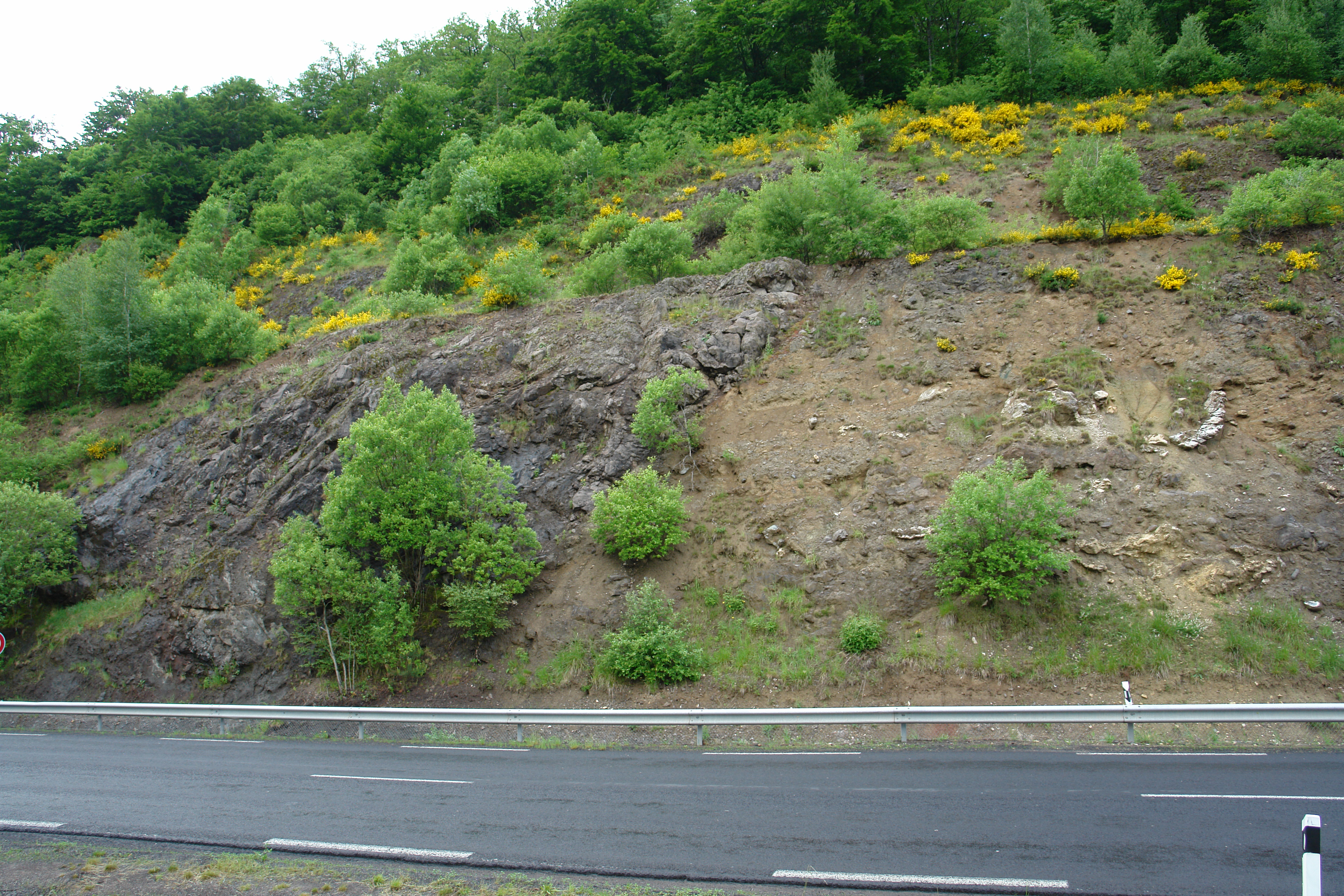
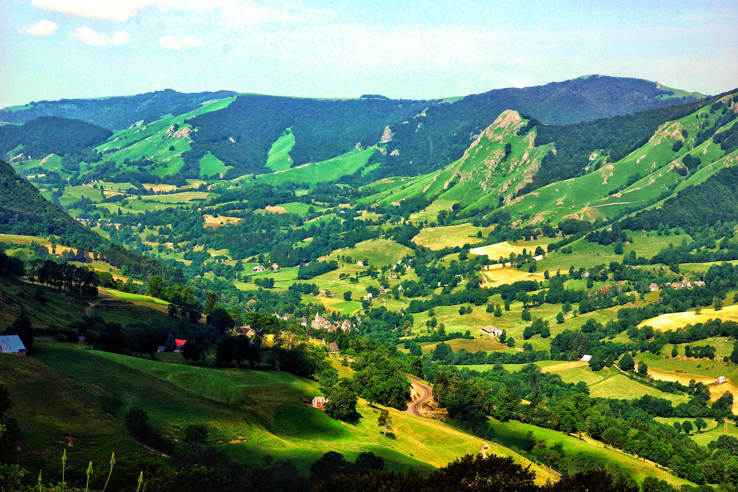
Versant du Cantal
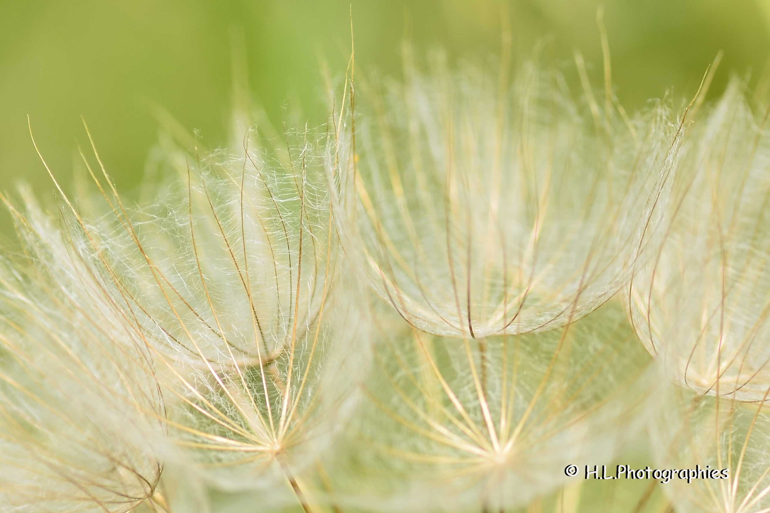
Délicate finesse

Le col de Cabre, la vallée de la Santoire

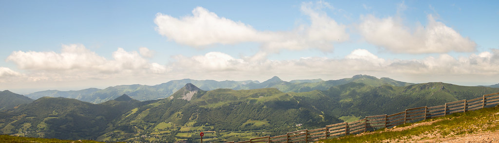
Panoramique depuis le Puy Griou
Le Lioran Juin 2015
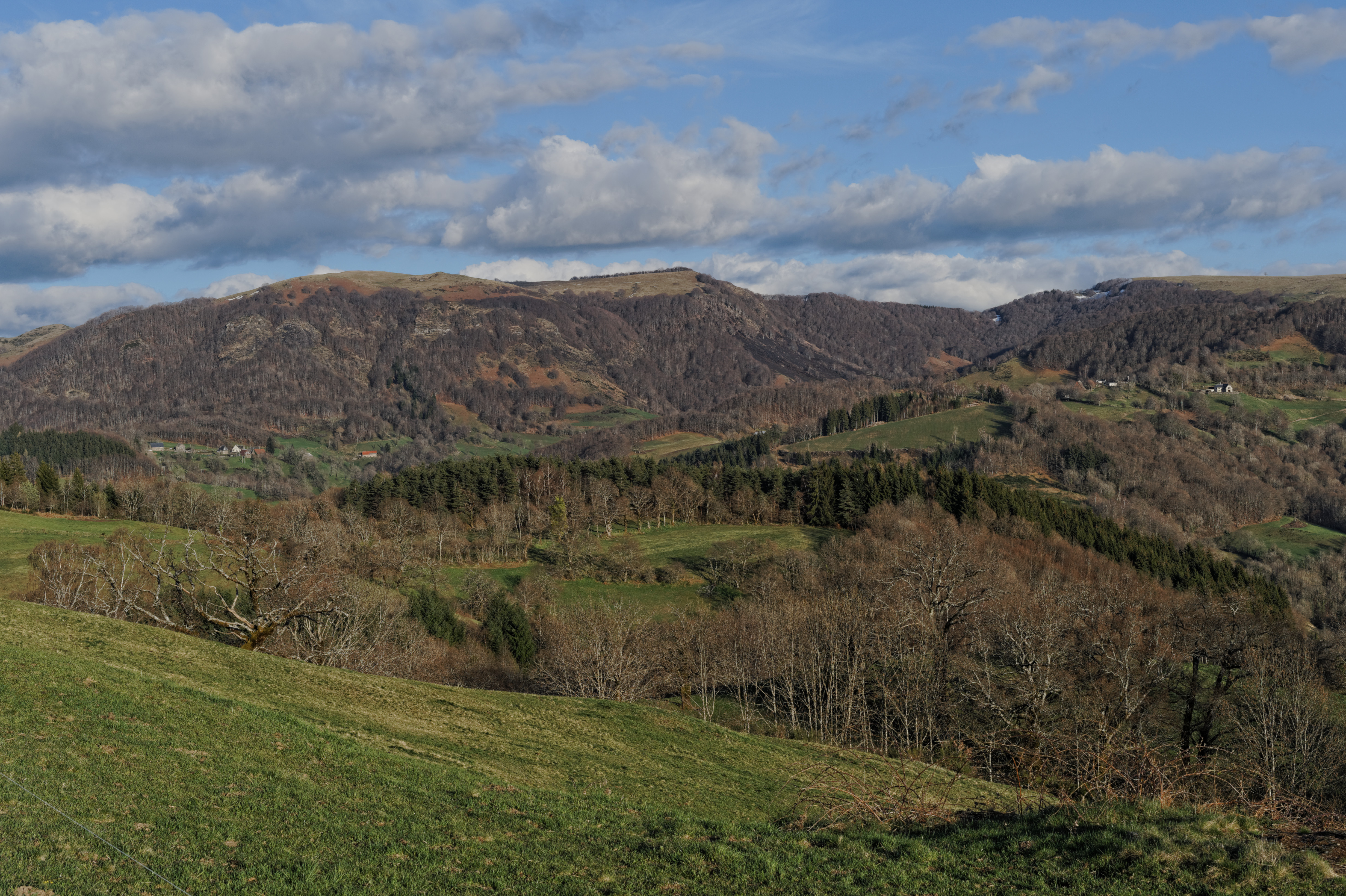
Les environs de Mandailles
Camera Roll-1206

Camera Roll-1205
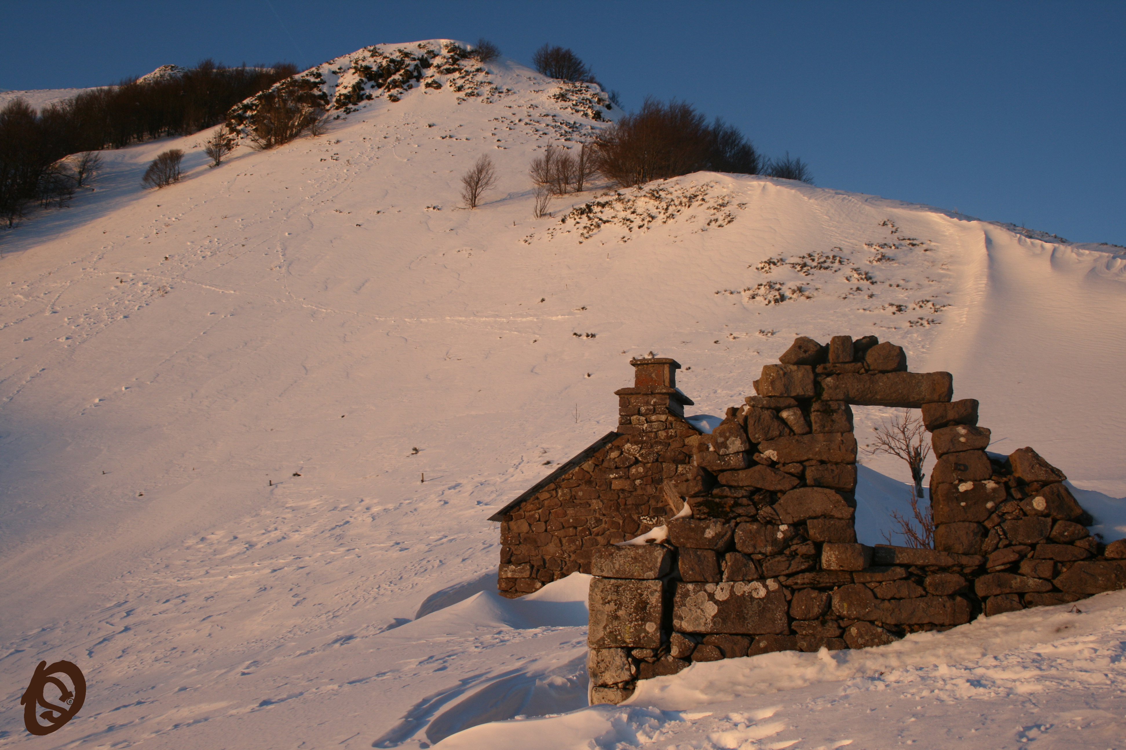
Buron d'hier

Camera Roll-1190
BM - 2015 Mars 02

Cantal 2014-07
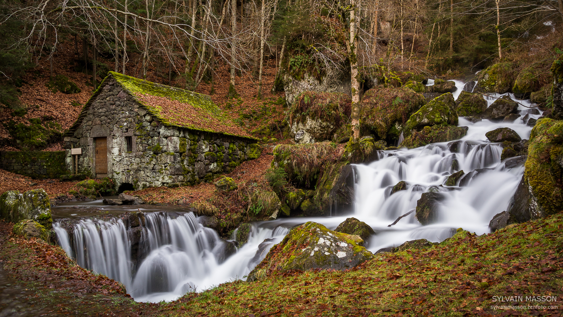
Moulin de Chambeuil
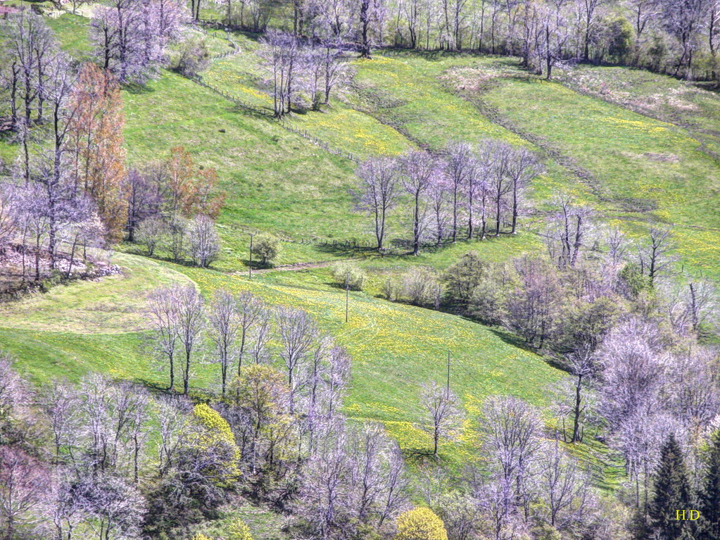
Avril, Lascelles_014_1_DxO
buron de prat de bouc
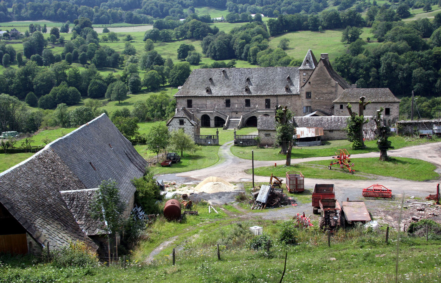
Le château de Cropières
Topographic Map of 14 Le Bousquet, Malbo, France
Find elevation by address:

Places near 14 Le Bousquet, Malbo, France:
Malbo
21 Avenue de Brommat, Mur-de-Barrez, France
Mur-de-barrez
Englès
8 Chemin de Foulioles, Vezac, France
1 Route du Château de Caillac, Vezac, France
Vézac
Jussac
Le Nayrac
Le Nayrac, Le Nayrac, France
10 Impasse du Cygne, Ytrac, France
Carrat De Boutes
Le Fel
Ytrac
5 Rue des Morelles Careizac, Ytrac, France
Vieillevie
D, Vieillevie, France
Bozouls
1 Rue Henri Camviel, Bozouls, France
La Vayssière
Recent Searches:
- Elevation of Elwyn Dr, Roanoke Rapids, NC, USA
- Elevation of Congressional Dr, Stevensville, MD, USA
- Elevation of Bellview Rd, McLean, VA, USA
- Elevation of Stage Island Rd, Chatham, MA, USA
- Elevation of Shibuya Scramble Crossing, 21 Udagawacho, Shibuya City, Tokyo -, Japan
- Elevation of Jadagoniai, Kaunas District Municipality, Lithuania
- Elevation of Pagonija rock, Kranto 7-oji g. 8"N, Kaunas, Lithuania
- Elevation of Co Rd 87, Jamestown, CO, USA
- Elevation of Tenjo, Cundinamarca, Colombia
- Elevation of Côte-des-Neiges, Montreal, QC H4A 3J6, Canada