Elevation of 14 Goss Ave, Melrose, MA, USA

Location: United States > Massachusetts > Middlesex County > Melrose >

Longitude: -71.052075

Latitude: 42.4539739

Elevation: 44m / 144feet

Barometric Pressure: 101KPa

Elevation Map:

elevation map of 14 Goss Ave, Melrose, MA, USA

Satellite Map:

Satellite map of 14 Goss Ave, Melrose, MA, USA

Related Photos:

new autumn sunset england fall pond massachusetts foliage horn woburn
Horn Pond Sunset
marsh saugusma color chromocosm jaym rumneymarsh wetland november 2013
Rumney Marsh
city bridge winter cambridge urban snow ice water boston skyline river landscape geotagged ma photography frozen photo day massachusetts charlesriver newengland panasonic frigid bostonma cityview skywalk lurvely gayphotographer thatsboston dmczs5 brooksbos
Frozen Landscape
city bridge cambridge tower boston night river observation ma town cityscape br view massachusetts charles center deck observatory prudential longfellow
Longfellow Bridge
After the Storm
longexposure nightphotography blue winter sea urban usa seascape cold color silhouette yellow boston misty skyline night clouds canon seaside cityscape purple unitedstates dusk winthrop massachusetts shoreline newengland rocky telephoto citylights bluehour atlanticocean eastcoast nahant bostonskyline waterscape nahantma winthropma broadsound gregdubois gregduboisphotography gregduboisboston lewiscove
Boston Skyline and Winthrop over Lewis Cove and Broad Sound, Late Dusk in Nahant MA
longexposure blue sea cliff usa sunlight motion green nature water yellow clouds canon landscape photography harbor seaside movement rocks colorful aqua warm day unitedstates cloudy vibrant teal horizon shoreline newengland rocky surreal bluesky rockface seacliff filter shore nd aquatic dramaticsky tidepools atlanticocean waterway cloudysky eastcoast nahant bostonskyline greenwater vibrantcolor oceancliff cloudmovement nahantma neutraldensity extremeexposure bostonphotographer littlenahant broadsound bostonphotography nahantmassachusetts baileyshillpark gregdubois northshoreboston lewiscove
Cloudy Blue Skies over Broad Sound and Sea Cliff with Tide Pools - Lewis Cove Nahant, Massachusetts
longexposure trees sky bw cliff usa white motion black nature silhouette clouds canon silver landscape photography blackwhite seaside movement rocks unitedstates cloudy shoreline newengland rocky rockface atlantic seacliff filter shore nd treeline dramaticsky eastcoast nahant oceancliff cloudmovement nahantma neutraldensity extremeexposure bostonphotographer blacksilver bostonphotography silverefexpro nahantmassachusetts baileyshillpark gregdubois northshoreboston
Extreme LE of Clouds over Tree Line and Sea Cliff - Bailey’s Hill Park Nahant, Massachusetts USA
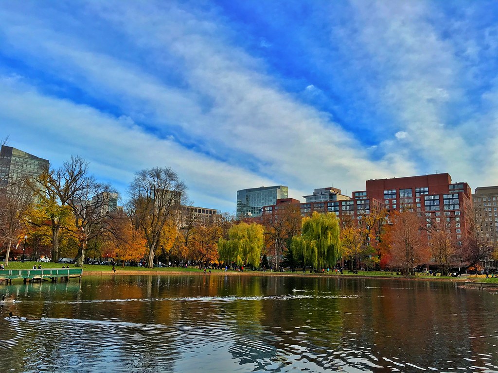
park autumn trees lake water boston reflections massachusetts autumncolours
Boston in Autumn
city longexposure morning pink blue cambridge sky urban orange usa motion reflection water silhouette yellow boston skyline clouds sunrise canon silver river landscape photography movement colorful downtown cityscape unitedstates cloudy charlesriver newengland wideangle nd colourful waterblur cloudscape backbay buoy hancocktower cityskyline urbanlandscape waterreflection bostonskyline waterscape prudentialtower urbanriver cloudmovement colorfulsky cambridgemassachusetts neutraldensity buboathouse extremeexposure bostonsunrise backbayboston canon6d prudentialtowerboston hancocktowerboston gregdubois gregduboisphotography
Stormy Sunrise, Extreme Exposure of Boston Skyline over Charles River and Harvard Bridge with Buoy - Cambridge MA USA
boston fallcolors massachusetts newengland eastcoast publicgarden pw bostonpublicgarden
Boston Public Garden
city longexposure blue cambridge light sky urban usa white motion building water boston skyline architecture clouds canon buildings river boats photography movement colorful day cityscape afternoon waterfront skyscrapers unitedstates cloudy vibrant massachusetts horizon charlesriver shoreline newengland sunny wideangle stormy bluesky calm shore daytime serene polarizer distance treeline buoys cambridgema waterway cityskyline bostonskyline greentrees urbanriver ndfilter downtownboston warmcolor charlesriveresplanade cloudmovement smoothwater stackedfilters extremeexposure backbayboston memorialdrivecambridge warmcoolcontrast prudentialtowerboston hancocktowerboston gregdubois gregduboisboston extremedaylongexposure
Back Bay Boston Skyline over Charles River and Esplanade with Buoys and Clouds, Polarized Extreme Day LE
trees winter snow woods day newengland northreading ipswichriverpark
Fresh Snow [Explore Feb. 28, 2013]
blue red water boston night geotagged boats twilight diptych fireworks charlesriver gps july4th geo:lat=4236108 maperture geo:lon=71073127
First light
fern tree green pine forest ma photography oak woods north american psk winchester forrests
Winchester Water Reservoir Trails
summer boston massachusetts charlesriver newengland sailboats pw
Charles River
bridge sunset boston skyline river twilight newengland charles bluehour bu pw
Blue Hour Over Charles River and Boston Skyline
geotagged landscape boston brooks brooksbos beach
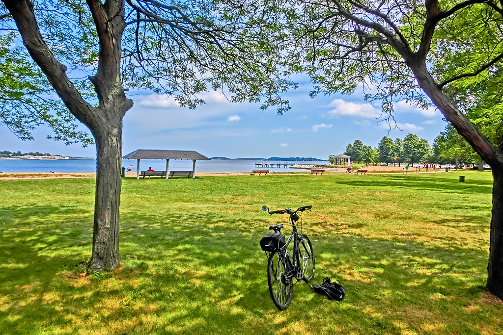
Carson Beach, South Boston
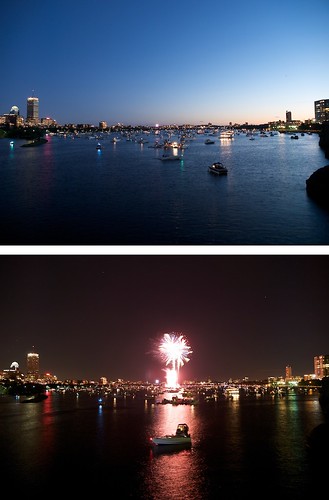
Catch this moment (Boston city at night)
city autumn trees light fall nature water boston skyline landscape geotagged outdoors afternoon massachusetts sony charlesriver newengland cybershot foliage bostonma hdr backbay brooks rx100 brooksbos rx100m3 dscrx100m3
Afternoon on the Charles River
ocean lighting old city longexposure morning light sea sky urban usa seascape color reflection building history water glass colors boston skyline architecture clouds skyscraper sunrise canon buildings photography harbor pier early seaside cool movement warm cityscape skyscrapers unitedstates decay massachusetts tide smooth shoreline newengland atlantic financialdistrict glossy le shore wharf nd gloss pilings piling northend dilapidated waterway glassy cityskyline bostonskyline eastboston bostonharbor ndfilter carltonswharf carltonwharf gregdubois gregduboisphotography
Boston Skyline just after Sunrise, Carlton's Wharf East Boston