Elevation of 14 E Hill Rd, Wilmington, VT, USA
Location: United States > Vermont > Windham County > Wilmington >
Longitude: -72.835173
Latitude: 42.8480718
Elevation: 504m / 1654feet
Barometric Pressure: 95KPa
Elevation Map:
Satellite Map:
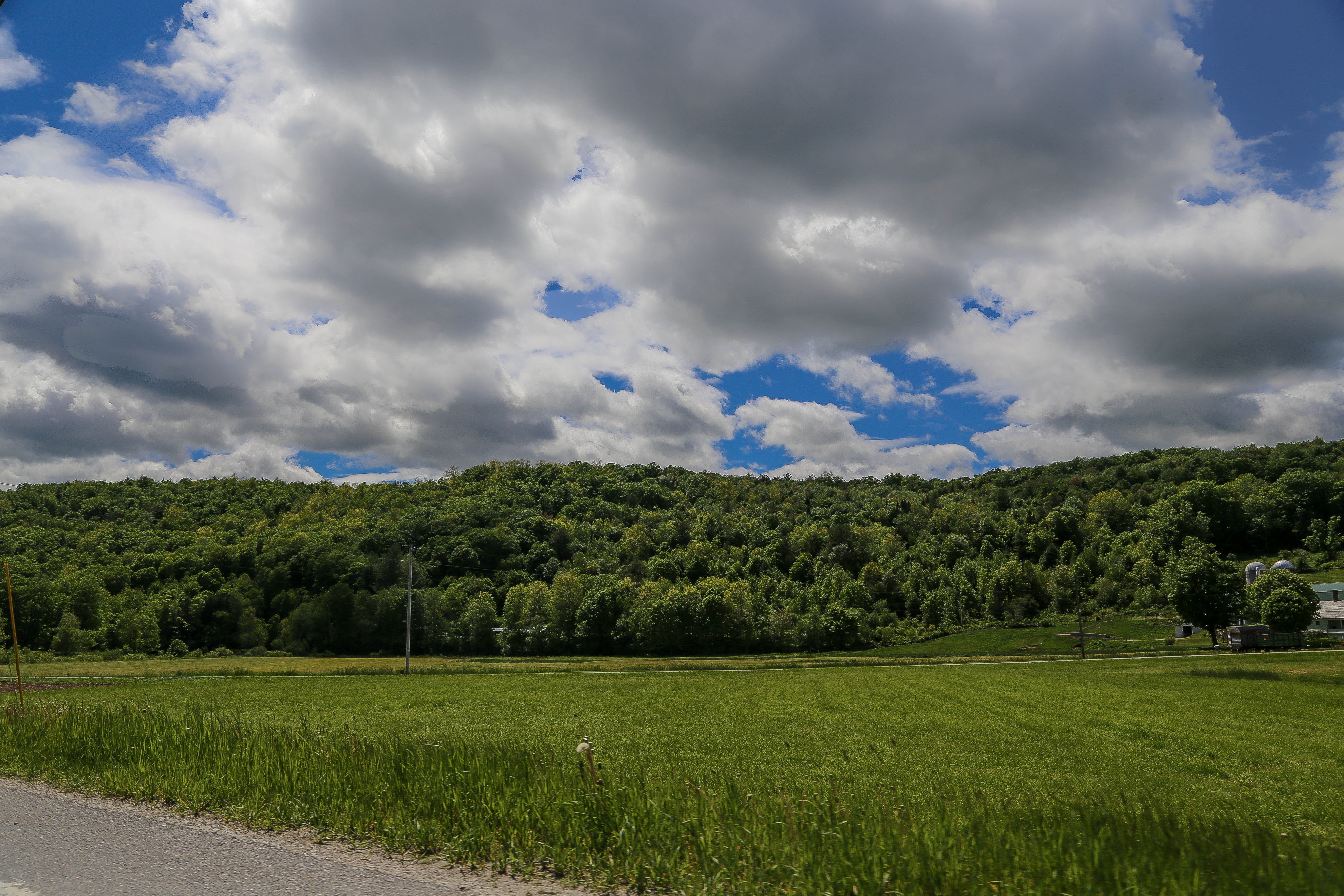
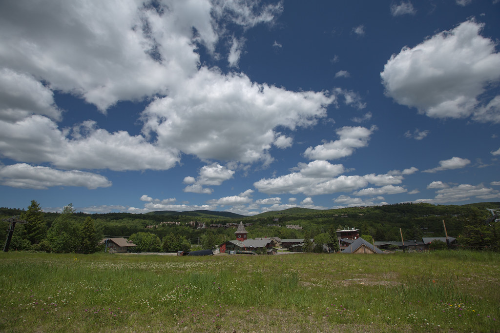
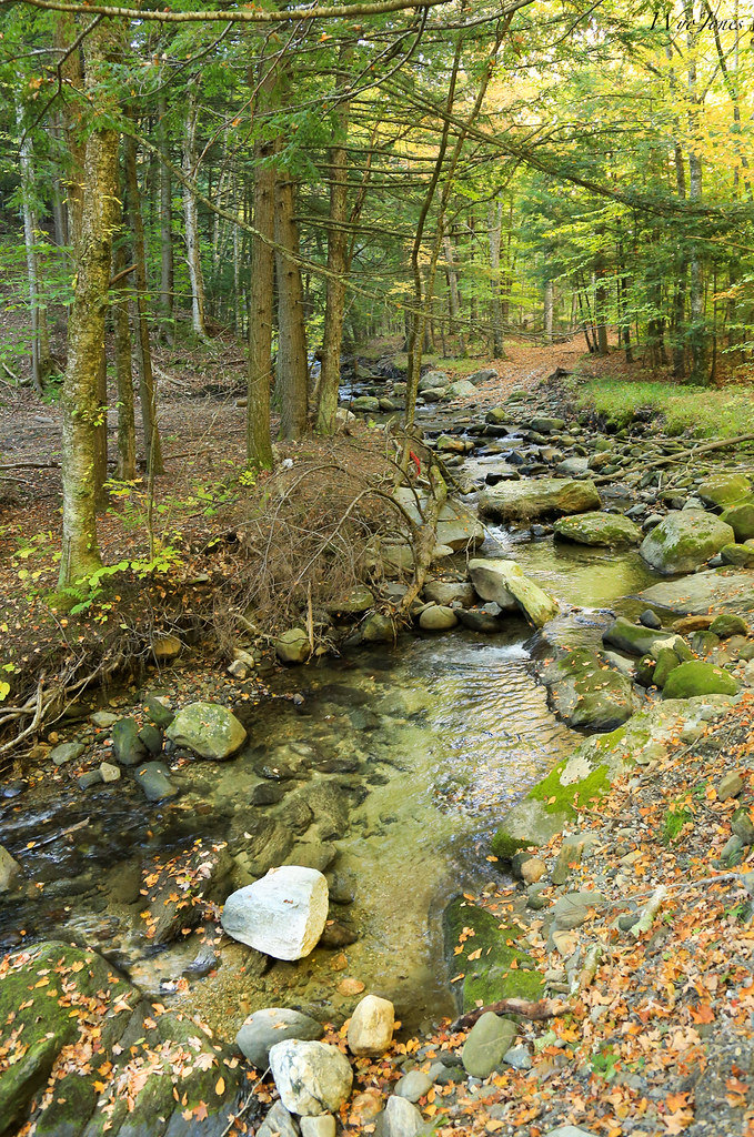
Related Photos:
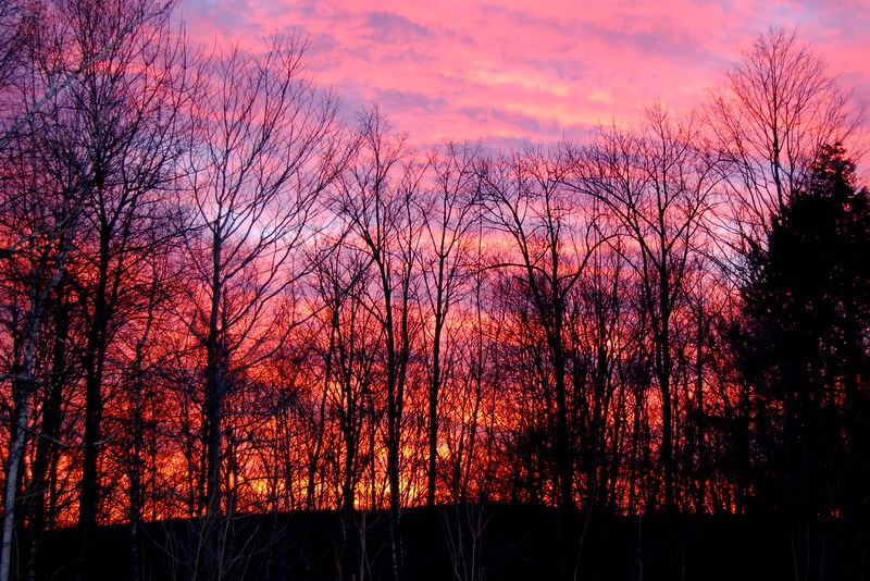
This Morning's 10 Minute Sunrise in Reverse (EXPLORED)
View Of Mt. Snow, Vermont
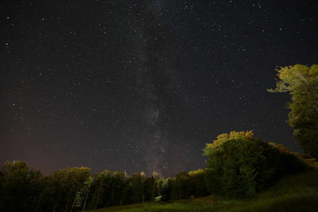
夜未眠
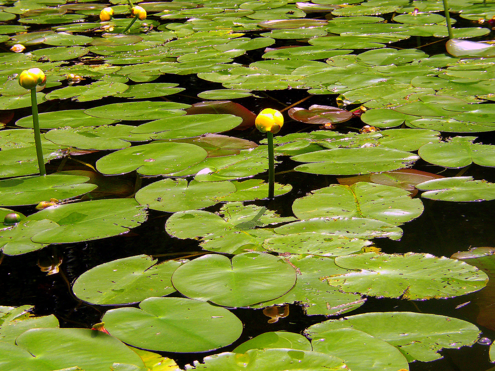
Water Lillies

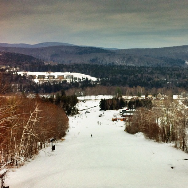
view from summit looking down main face on overcast day @mountsnow
A Place to Sit
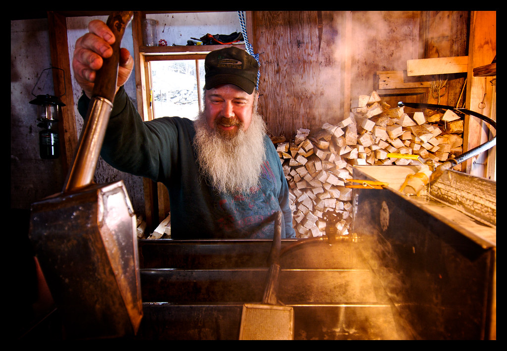
Boiling Maple Syrup

surprisingly great view just outside of the window.
In Search of a Cool Breeze
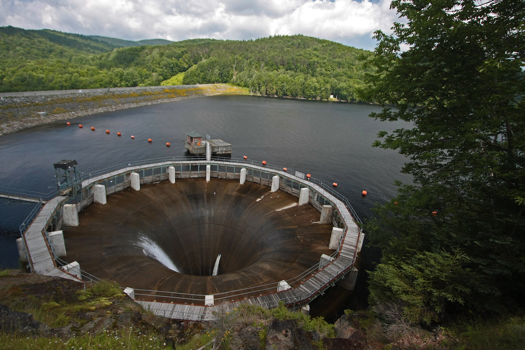
The Glory Hole ~ Harriman Reservoir
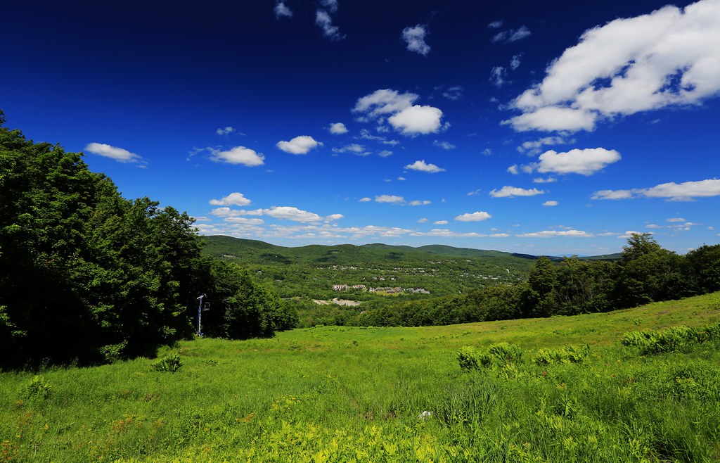
100-Mile View

Which way to look?
Ready, Aim, Run like Hell
Craft Inn
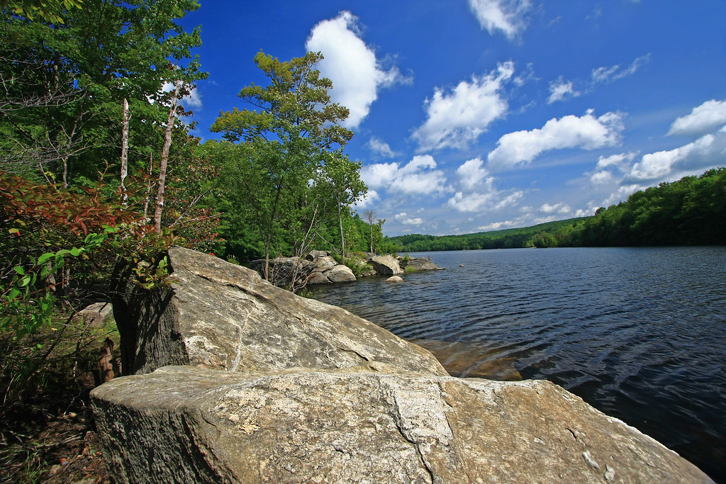
lake view
View of the #spring from #TheNorthFace of #mtsnow #vermont #skiing #northeast #vscocam
100 Mile View (Marlboro, VT)
Sun came out.

More views
View 1
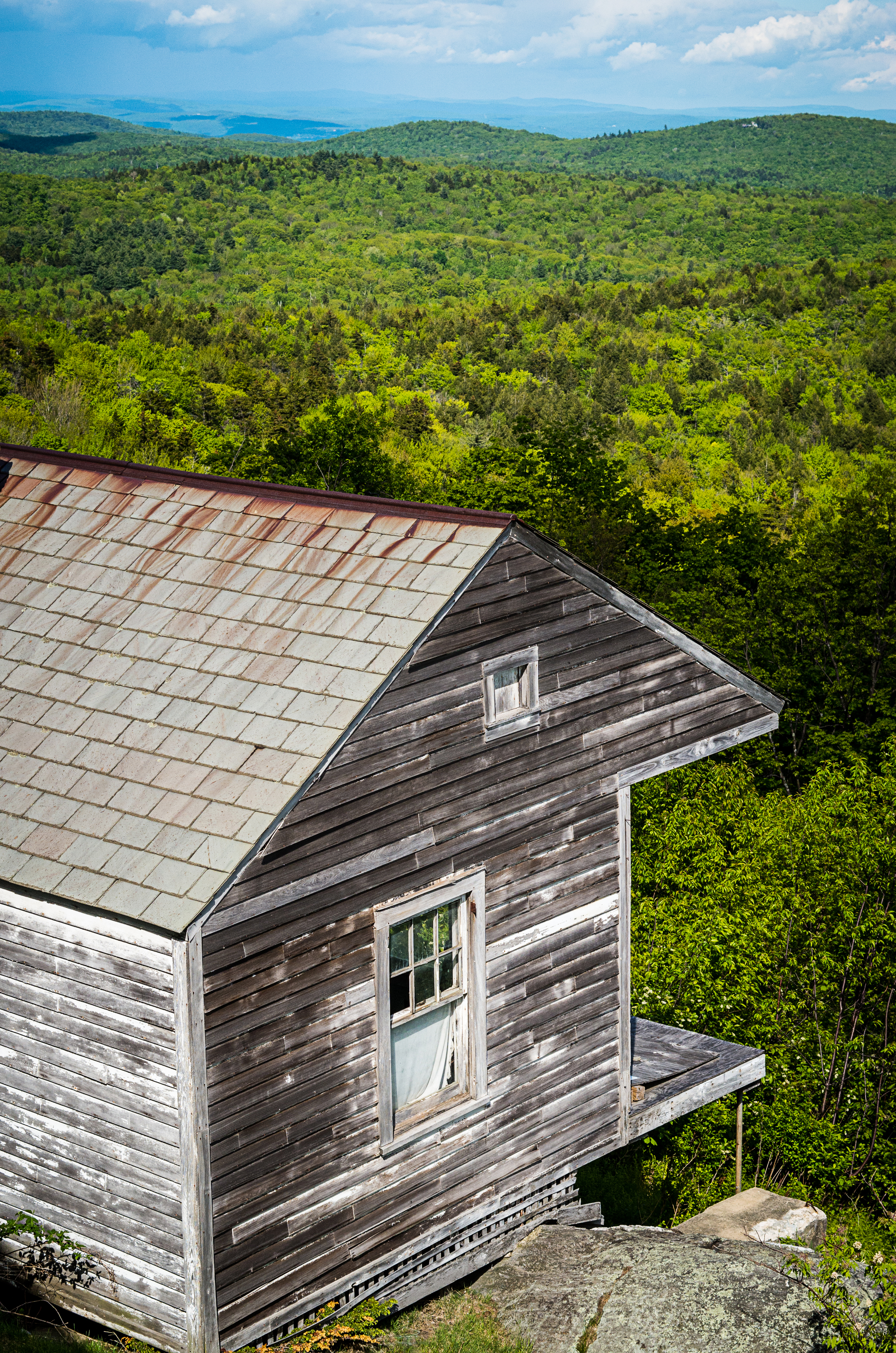
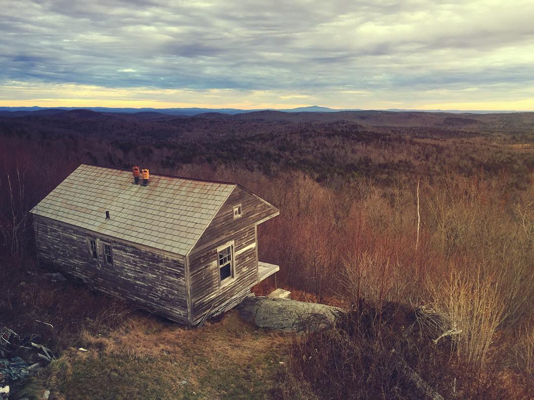
House on the mountain
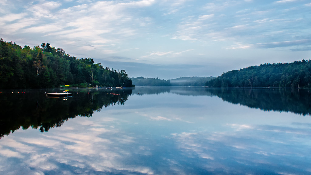
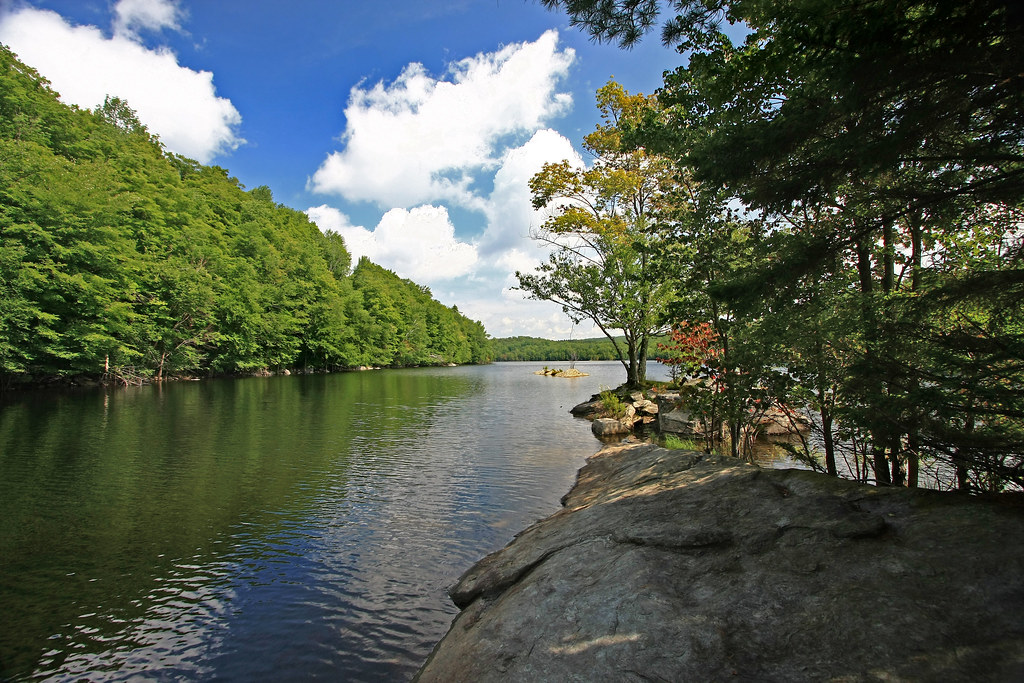
Lake Raponda, VT

晨光
Rocks at Halifax
Harriman Reservoir
IMG_8494.jpg

Mount Snow Early season
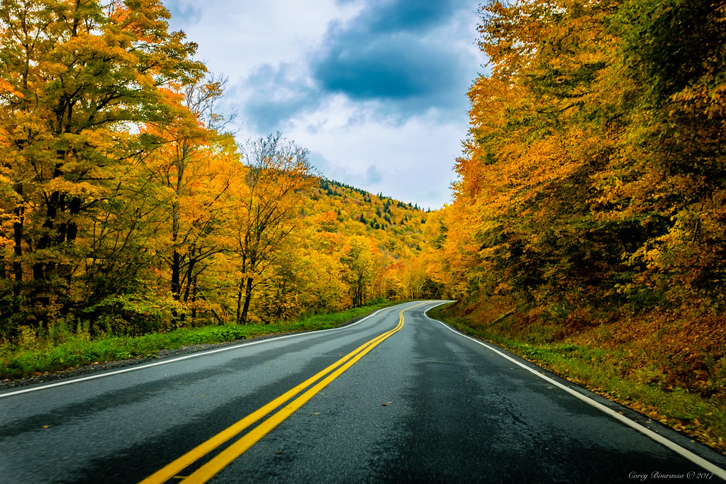
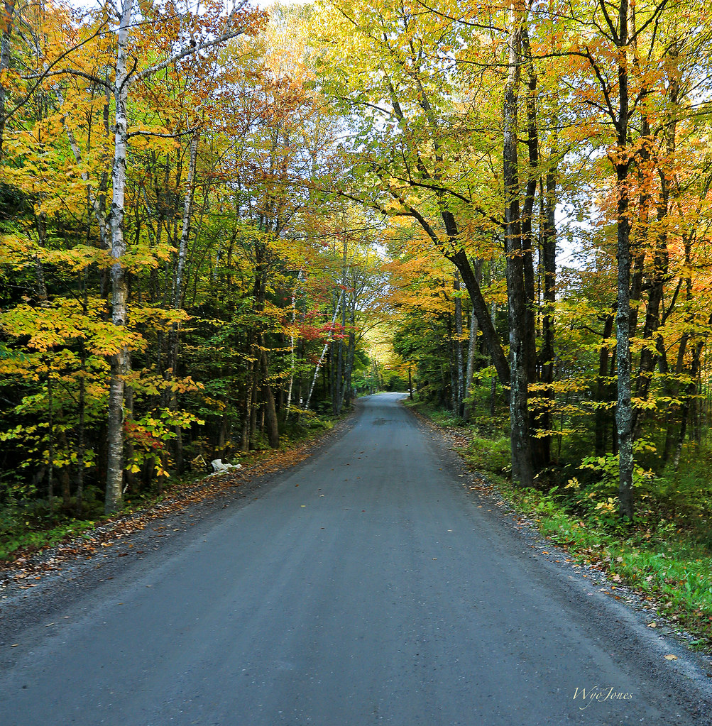
Vermont Back Road
好天氣
Marlboro Branch

Stillness of morning. #getolympus with the Olympus e-m1. #reflection #vermont
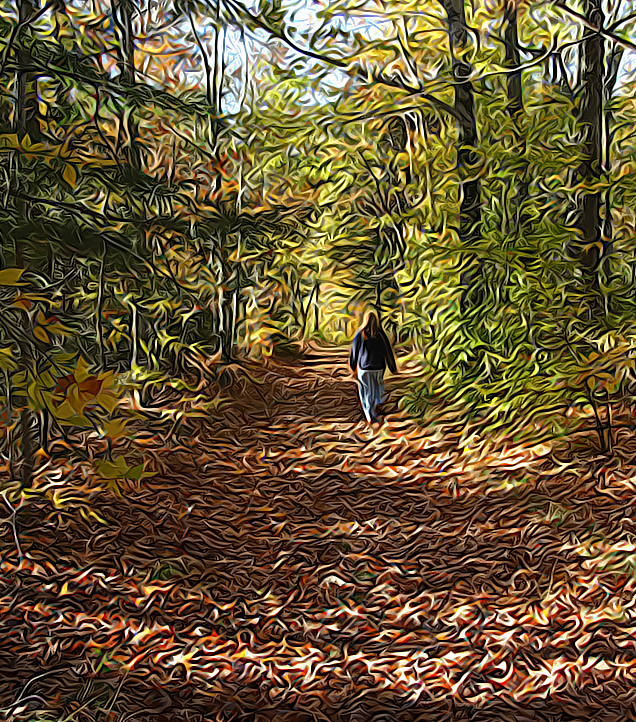
walk in the woods
Autumn Lane
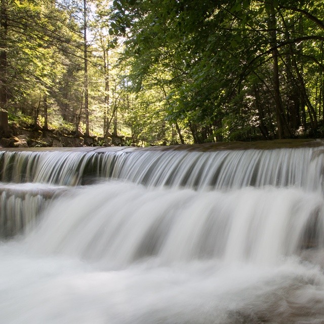
Constant II. 1/4 second @f/22 #waterfall #waterflow #vermontshots #70d #10to18mm review is now available. @jicebee you are right, better with rock cropped.

Sweet Mother & Child Purple Finch Photos . . . Explored!

Autumn Trail at Quechee Gorge
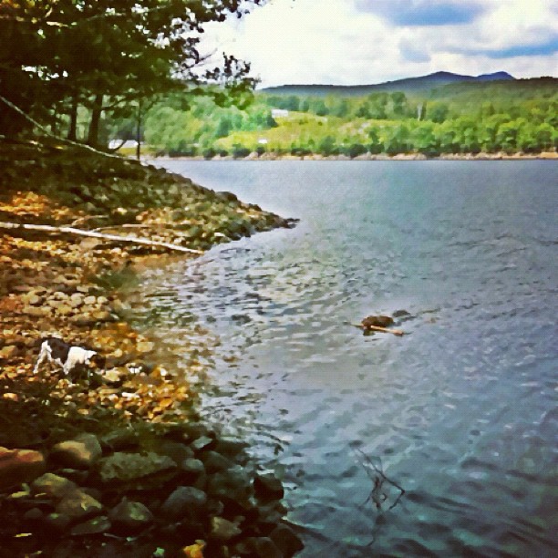
at the lake #vermont #leo swimming & #teagan hunting :)

Pond | Southern VT

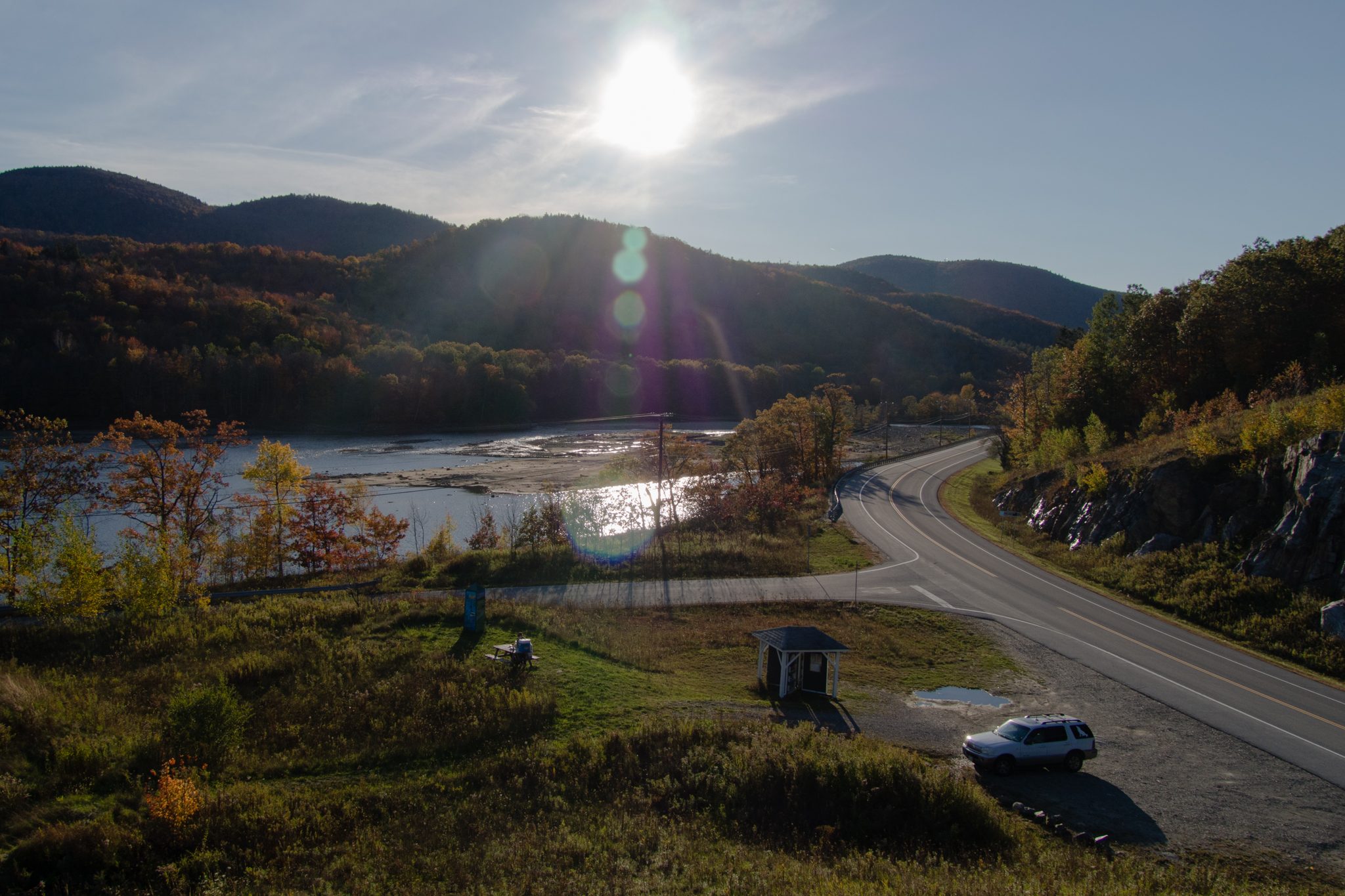
Deerfield valley
inferno @mountsnow :)
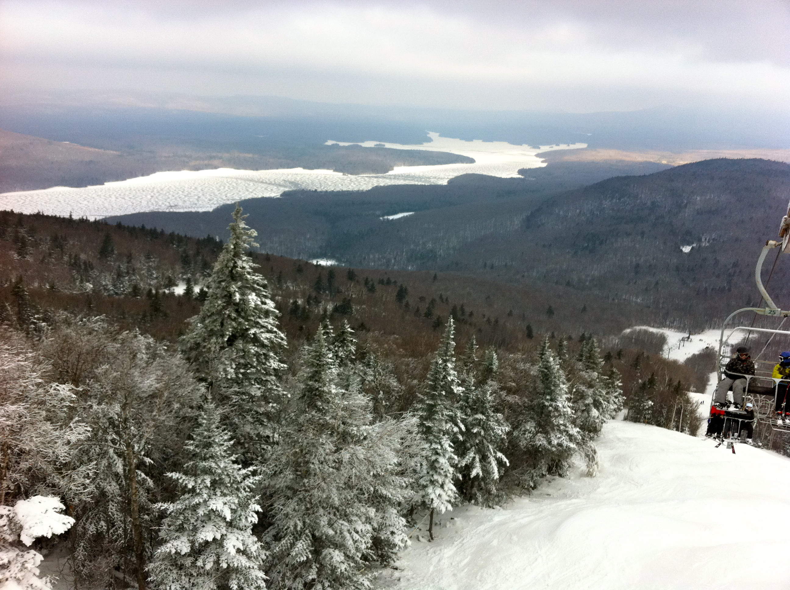
@mountsnow - day 7 (north face)
Apple tree. Early spring. #gopro @polarpro polarizing filter.
Topographic Map of 14 E Hill Rd, Wilmington, VT, USA
Find elevation by address:

Places near 14 E Hill Rd, Wilmington, VT, USA:
89 E Hill Rd
89 E Hill Rd
10 Ruth Way
223 Minor Rd
29 Scoot Creek
23 Ware Rd
Redhouse Lane
810 Stonehouse Rd
70 Sun And Ski Rd
639 Stonehouse Rd
18 Country Club Rd
132 Sun And Ski Rd
Lake Raponda
103 Stonehouse Rd
265 S Ryder Pond Rd
49 Stearns Ave
East Main Street
201 Boyd Hill Rd
385 Stowe Hill Rd
430 Stowe Hill Rd
Recent Searches:
- Elevation of Groblershoop, South Africa
- Elevation of Power Generation Enterprises | Industrial Diesel Generators, Oak Ave, Canyon Country, CA, USA
- Elevation of Chesaw Rd, Oroville, WA, USA
- Elevation of N, Mt Pleasant, UT, USA
- Elevation of 6 Rue Jules Ferry, Beausoleil, France
- Elevation of Sattva Horizon, 4JC6+G9P, Vinayak Nagar, Kattigenahalli, Bengaluru, Karnataka, India
- Elevation of Great Brook Sports, Gold Star Hwy, Groton, CT, USA
- Elevation of 10 Mountain Laurels Dr, Nashua, NH, USA
- Elevation of 16 Gilboa Ln, Nashua, NH, USA
- Elevation of Laurel Rd, Townsend, TN, USA