Elevation of 13 Misakichō, Rausu-chō, Menashi-gun, Hokkaidō -, Japan
Location: Japan > Hokkaido Prefecture > Menashi District > Rausu >
Longitude: 145.244125
Latitude: 44.1013507
Elevation: 5m / 16feet
Barometric Pressure: 101KPa
Elevation Map:
Satellite Map:
Related Photos:
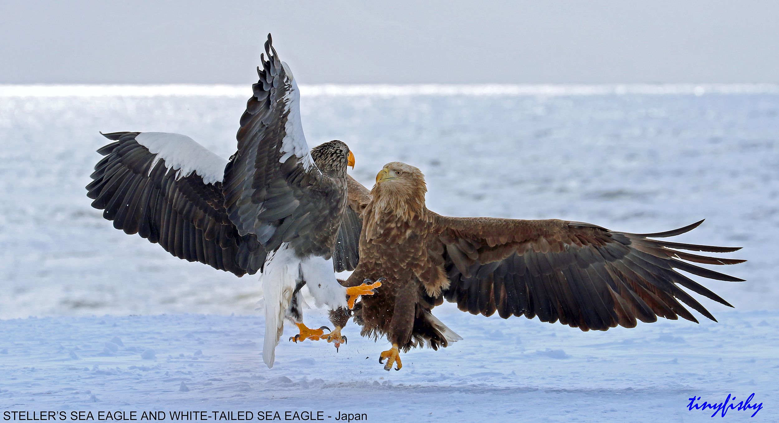
Face Off
Hokkaido Week - 3D2N at Shiretoko Peninsula (2011: 0381)

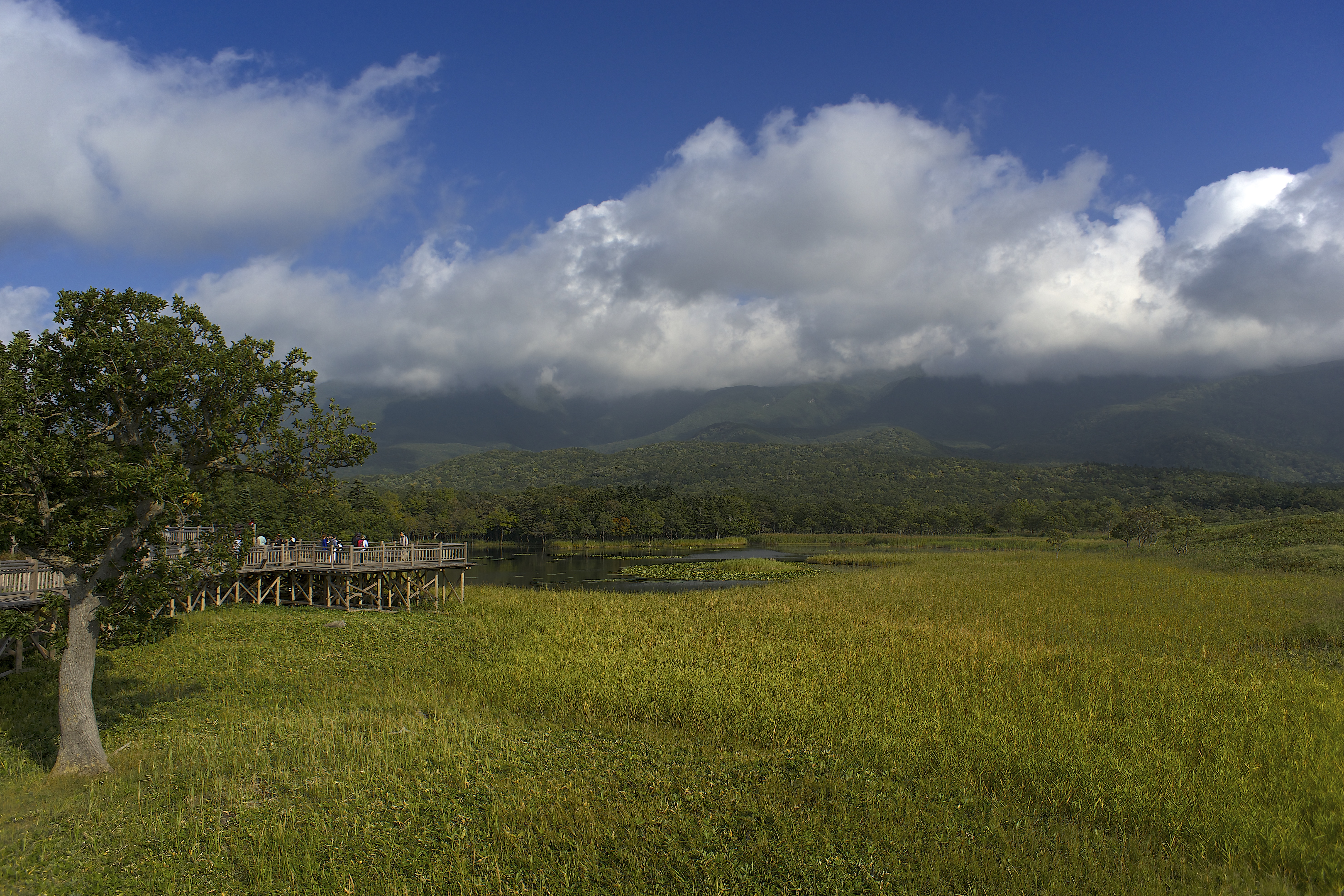
Shiretoko Goko Lakes elevated boardwalk

Safety Zone for Tsunami

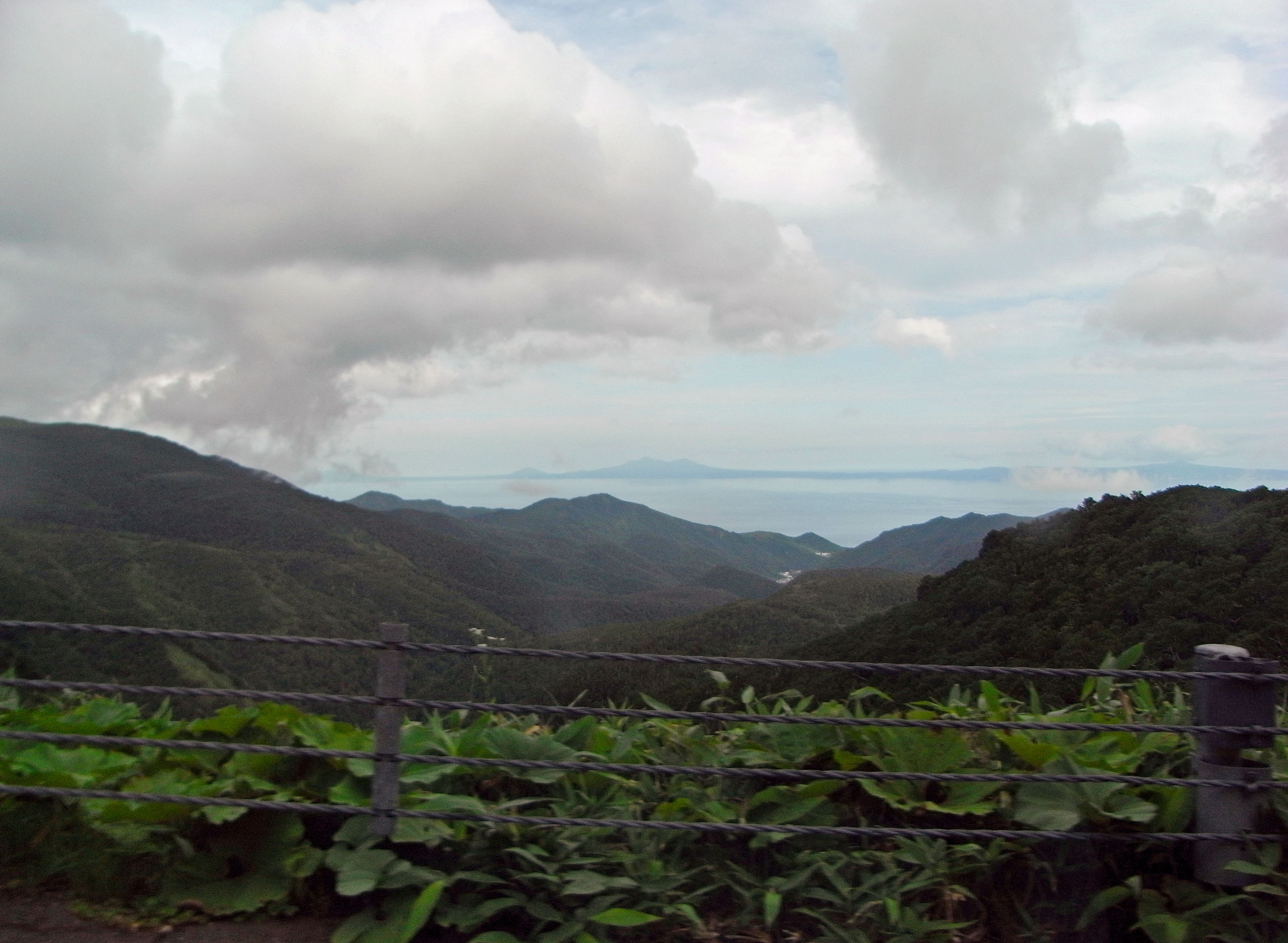
Hokkaido day 4 (360deg view over a Unesco World Heritage Site)
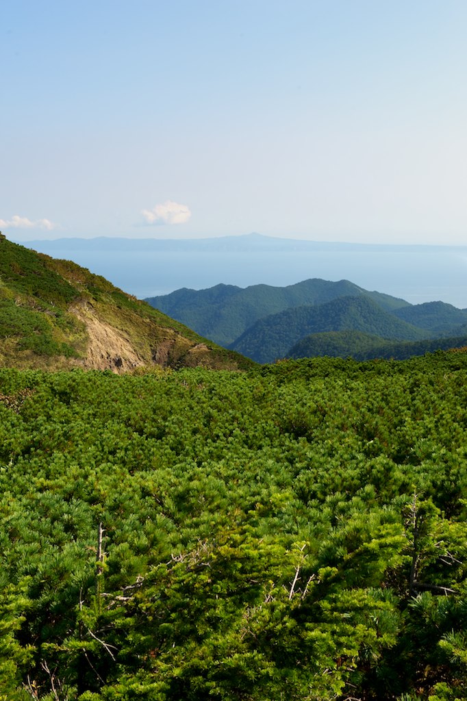
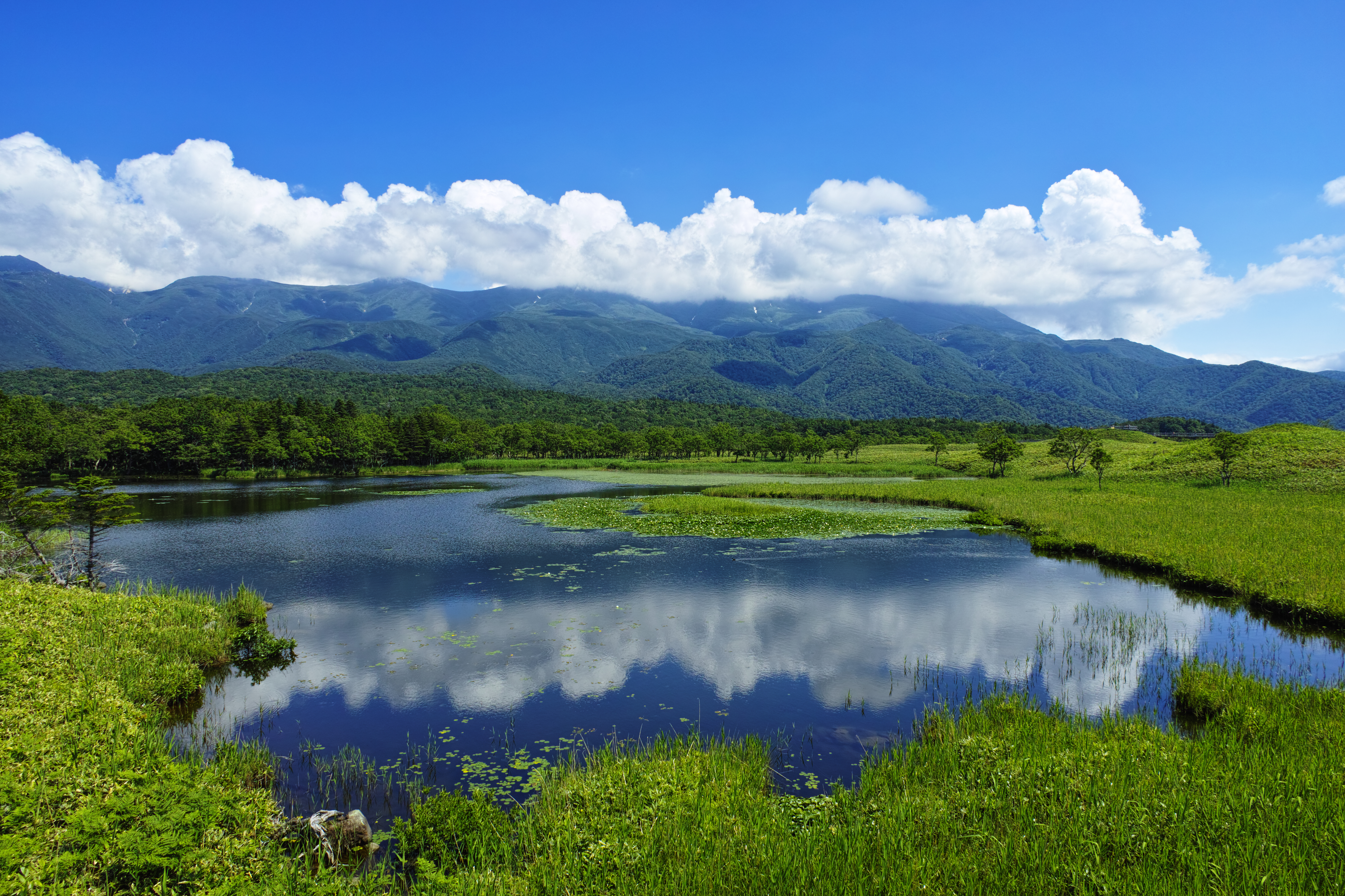
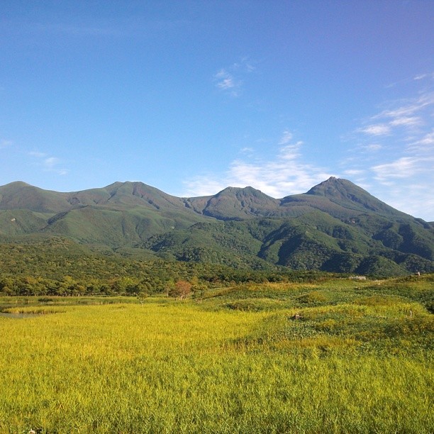
Shiretoko view
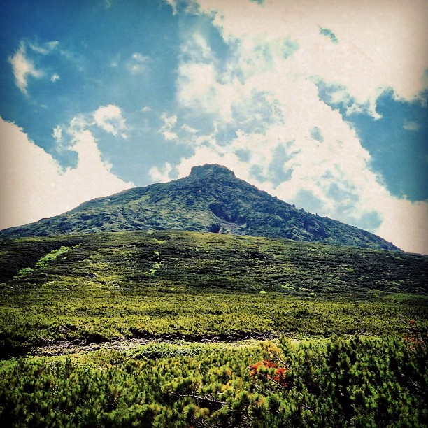
Mountain view
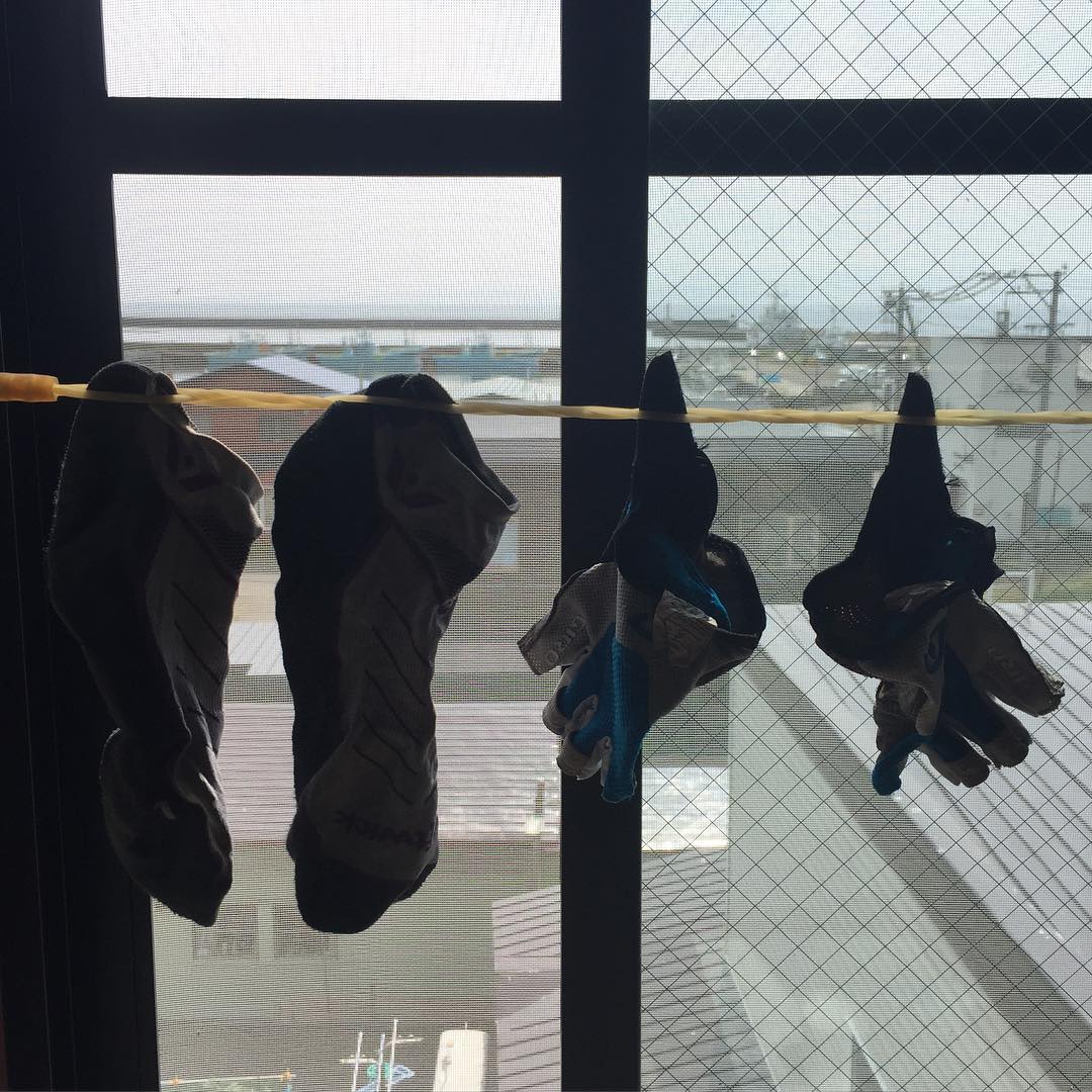
Clothesline with a view
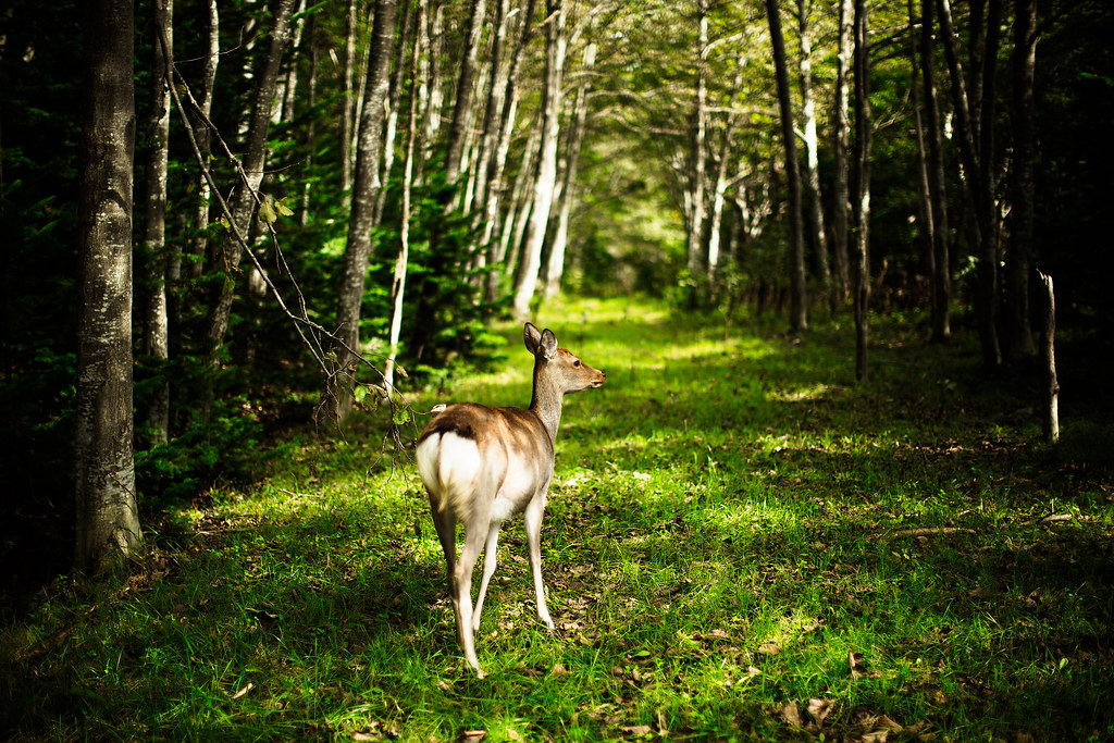
Take me to the Forest
Seseki Hot Spring
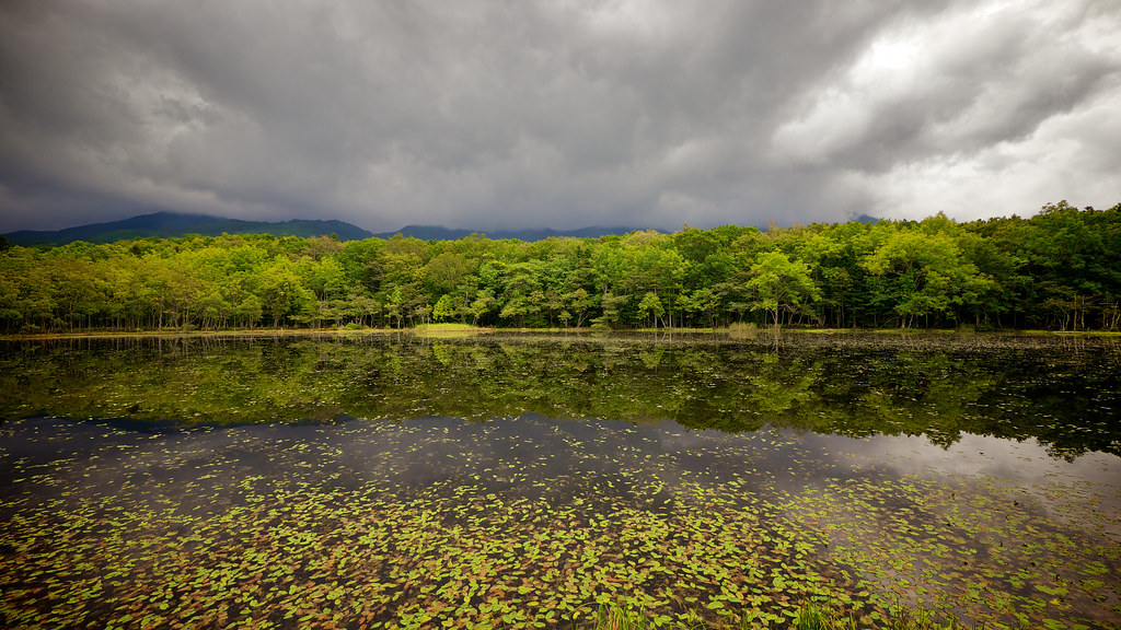
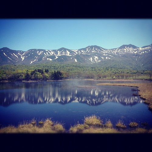
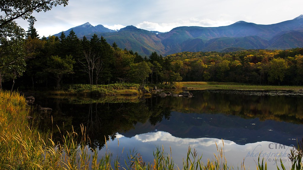
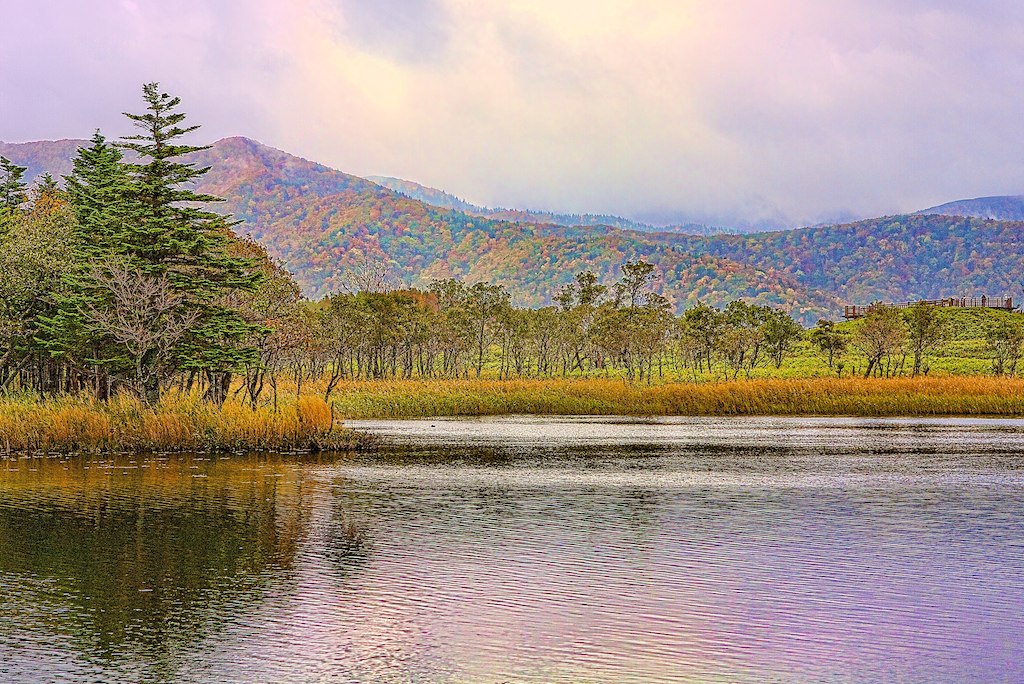
知床五湖 - Shiretoko goko lakes -
美到靠北
Shiretoko dreams
国後島
サンライズ
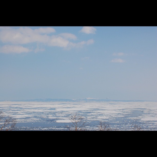
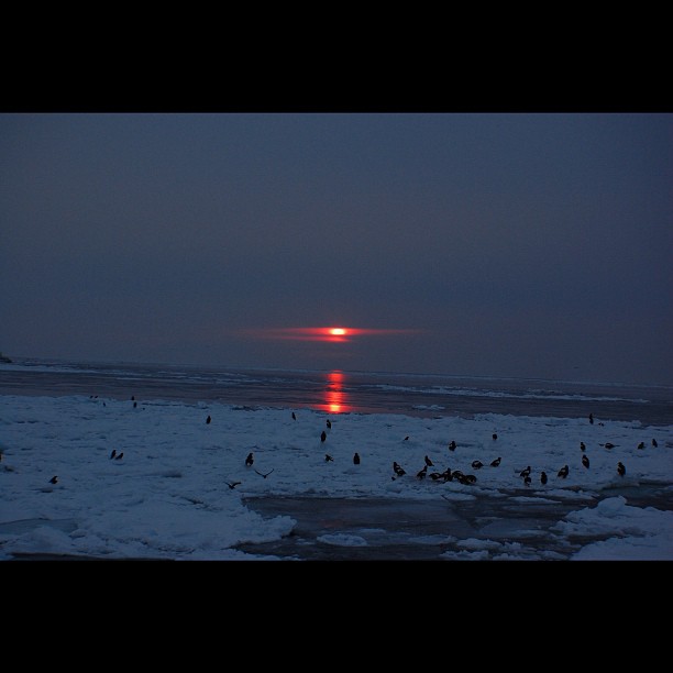
展望台から見た流氷
国後島
ShiretokoDay2 84
天気が良くて見晴らし最高。

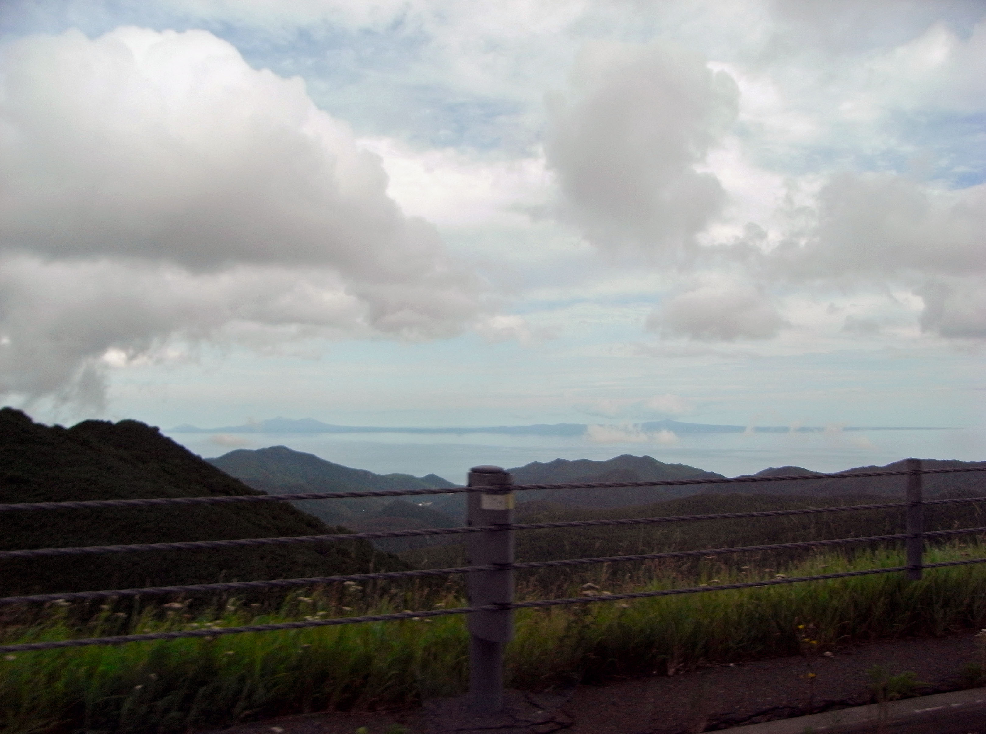
羅臼と国後島を一望!
人に「そんな同じ山行って飽きないの」言われるも、一昨日は沢で今日は尾根なれば全く装い異なるので、これに岩壁でもあれば一つの山で相当遊べる。一夏遊べる
Siretoko National Park
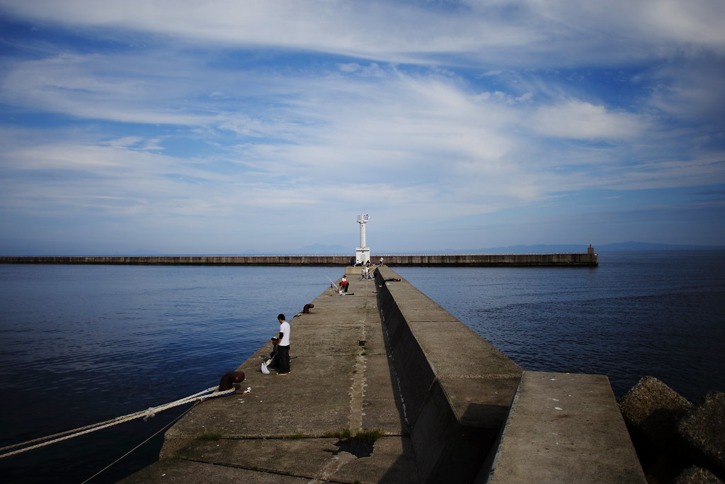
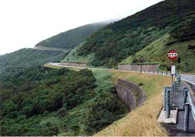
羅臼港5
Topographic Map of 13 Misakichō, Rausu-chō, Menashi-gun, Hokkaidō -, Japan
Find elevation by address:

Places near 13 Misakichō, Rausu-chō, Menashi-gun, Hokkaidō -, Japan:
2-3 Funamichō, Rausu-chō, Menashi-gun, Hokkaidō -, Japan
Rausu
6 Yunosawachō, Rausu-chō, Menashi-gun, Hokkaidō -, Japan
Aidomari, Rausu-chō, Menashi-gun, Hokkaidō -, Japan
Mount Rausu
Menashi District
Onnebetsumura
Iwaubetsu Onnebetsumura
Iwaubetsu-531 Onnebetsumura
Utorokogen
Mount Onnebetsu
Makoi, Shari-chō, Shari-gun, Hokkaidō -, Japan
10 Hinode, Shari-chō, Shari-gun, Hokkaidō -, Japan
Shibetsu
1-3 Kawakita, Shibetsu-chō, Shibetsu-gun, Hokkaidō -, Japan
Kunashir Island
Recent Searches:
- Elevation of 15th Ave SE, St. Petersburg, FL, USA
- Elevation of Beall Road, Beall Rd, Florida, USA
- Elevation of Leguwa, Nepal
- Elevation of County Rd, Enterprise, AL, USA
- Elevation of Kolchuginsky District, Vladimir Oblast, Russia
- Elevation of Shustino, Vladimir Oblast, Russia
- Elevation of Lampiasi St, Sarasota, FL, USA
- Elevation of Elwyn Dr, Roanoke Rapids, NC, USA
- Elevation of Congressional Dr, Stevensville, MD, USA
- Elevation of Bellview Rd, McLean, VA, USA