Elevation of 13 CA-36, Susanville, CA, USA
Location: United States > California > Susanville >
Longitude: -120.89831
Latitude: 40.3496799
Elevation: 1596m / 5236feet
Barometric Pressure: 84KPa
Elevation Map:
Satellite Map:
Related Photos:
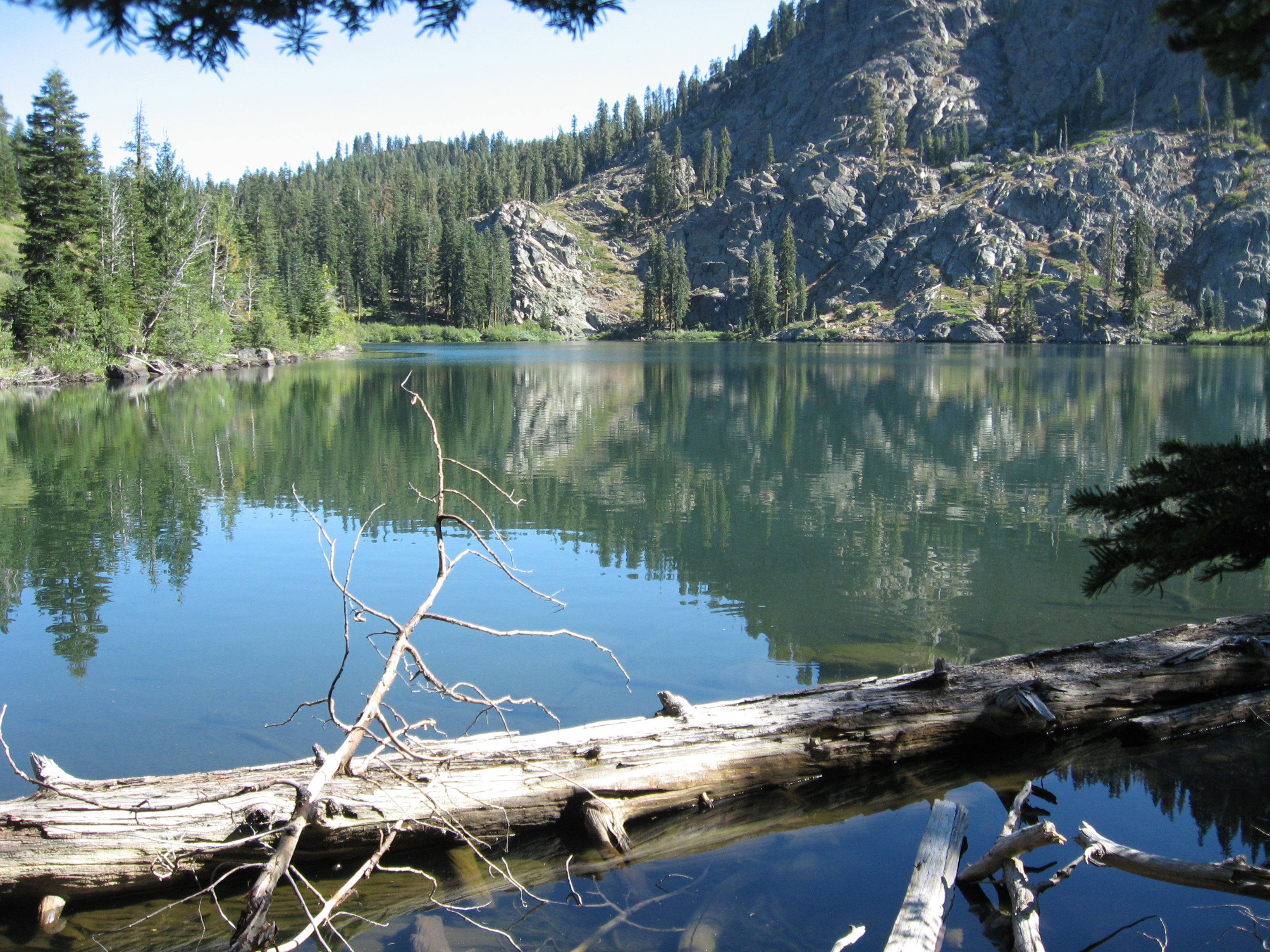
Homer Lake
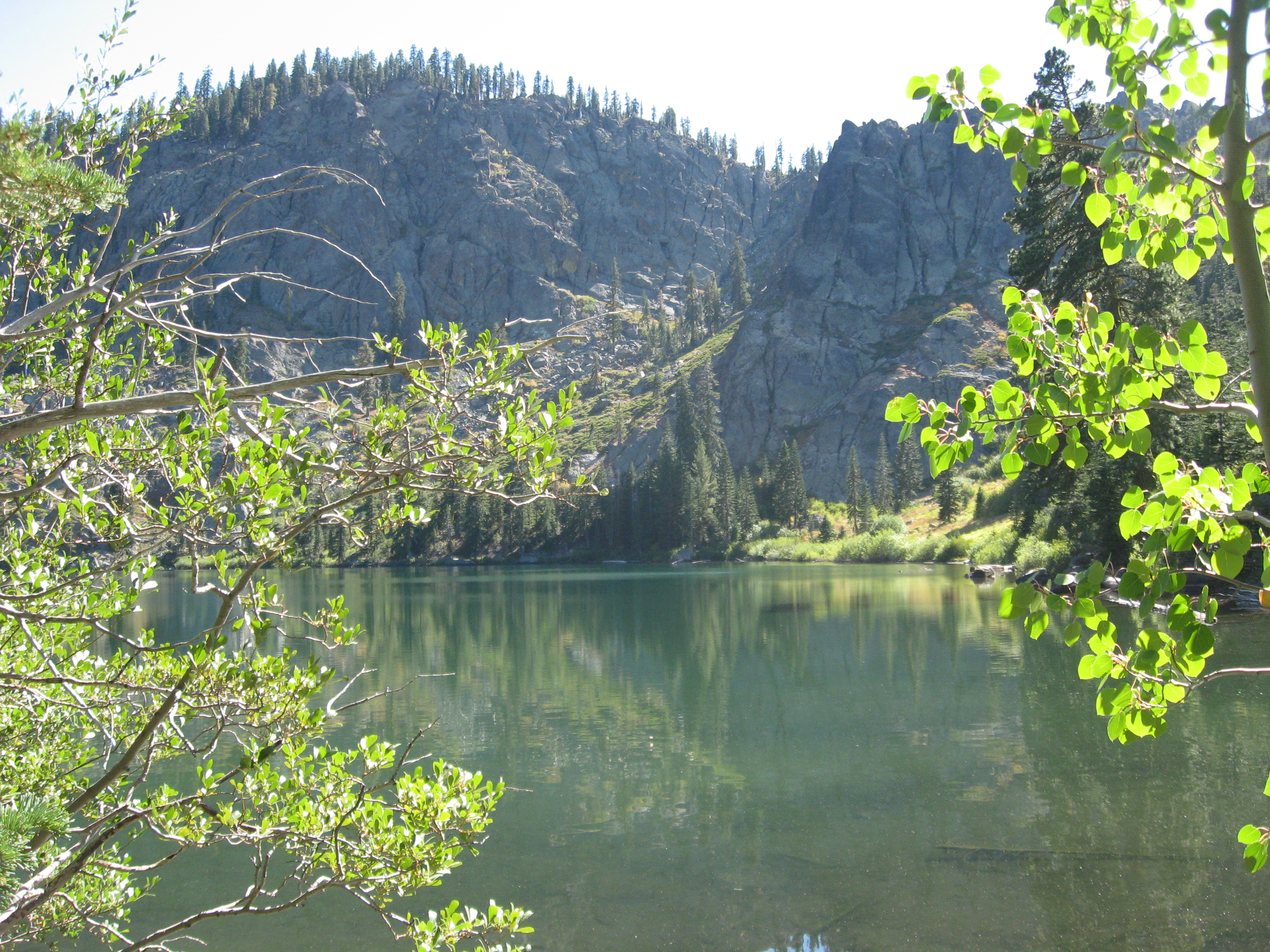
Homer Lake

Eurasian dandelion (Taraxacum officianale)

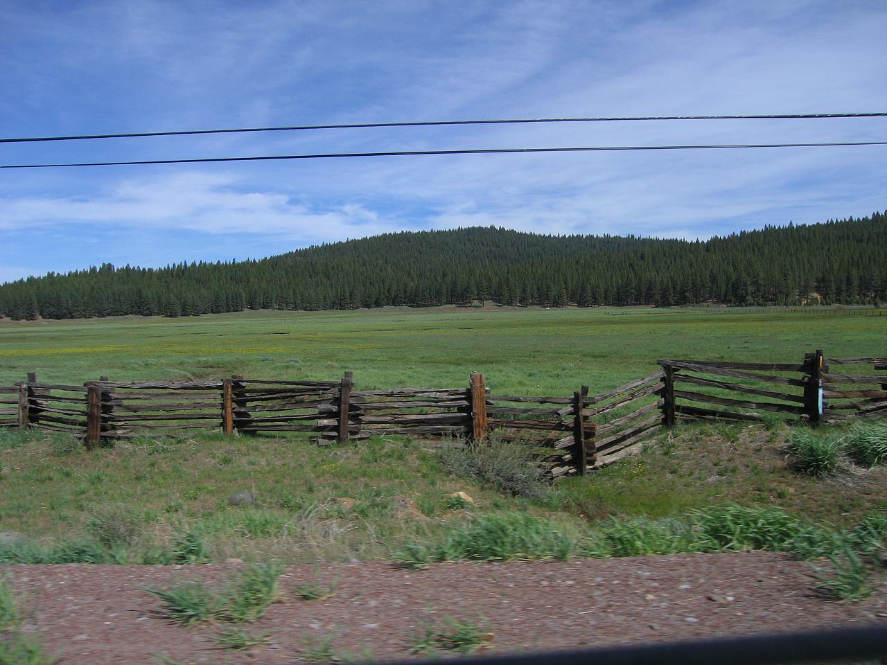
Beautiful Pasture & Creeks

Mountain Pasture

Abandoned House
Until next year - 2014 Lake Almanor Day 8 - #lake_almanor_2014
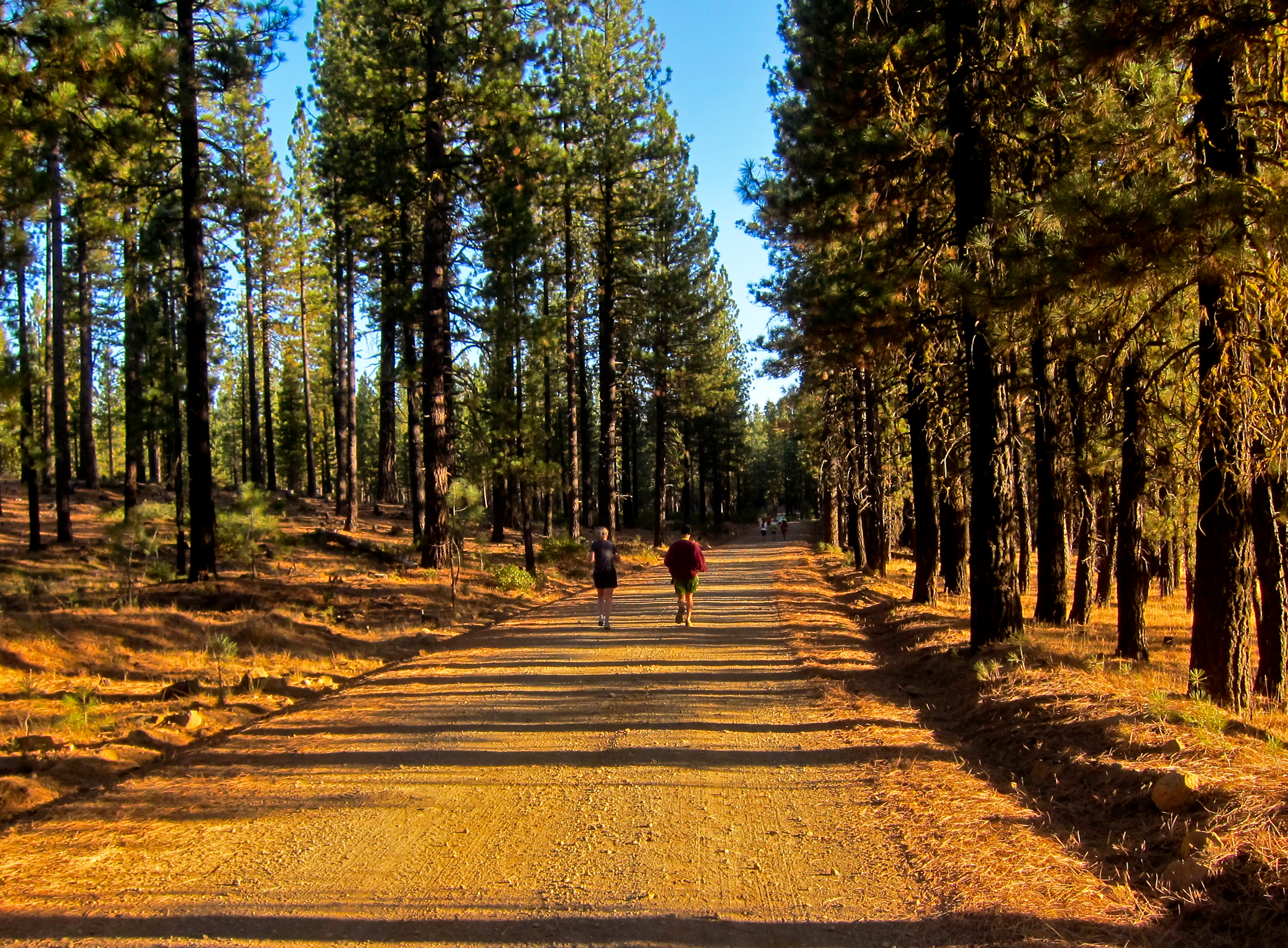
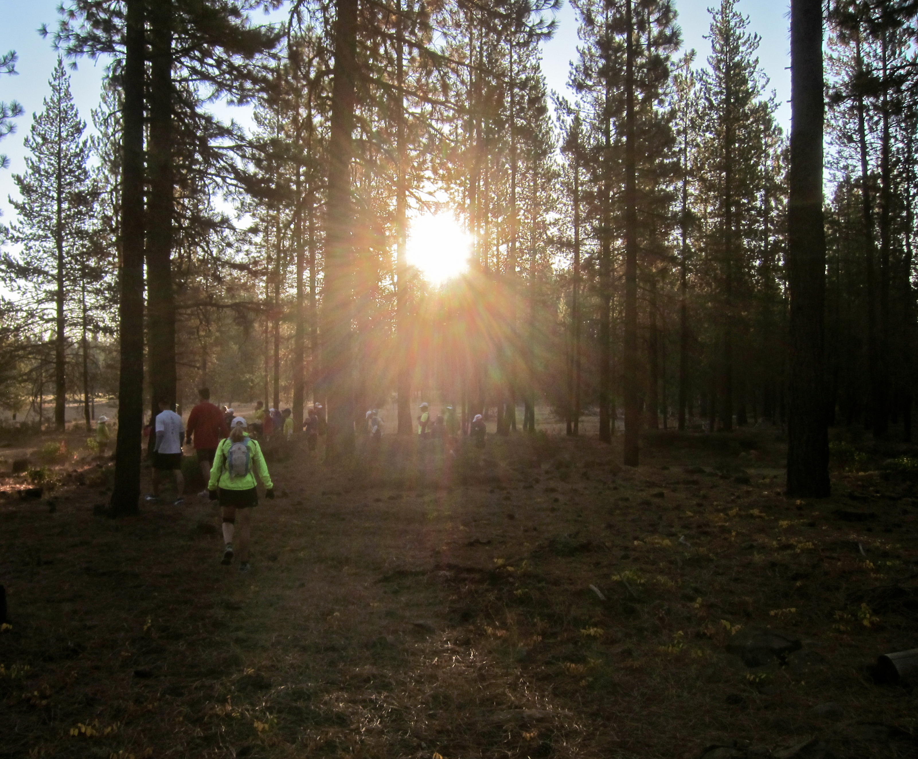
Sunrise Start - Bizz Johnson 50K Ultramarathon & Marathon 2012

_8040169.NEF

Along The Course - Bizz Johnson 50K Ultramarathon & Marathon 2012
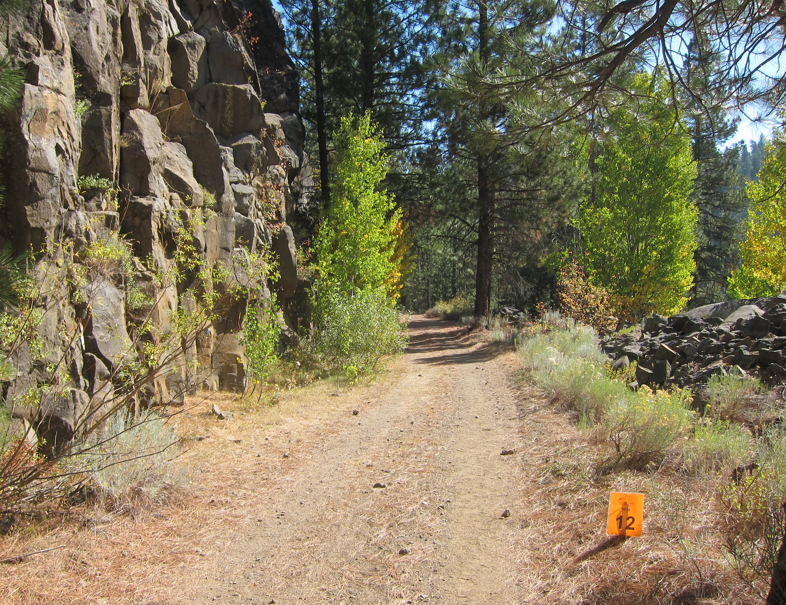
12 Mile Marker - Along The Course - Bizz Johnson 50K Ultramarathon & Marathon 2012
50K Ultramarathon Starting Line - Bizz Johnson Marathon

Bizz Johnson Trail 2009-1101_132403

Bizz Johnson Trail 2009-1101_110406
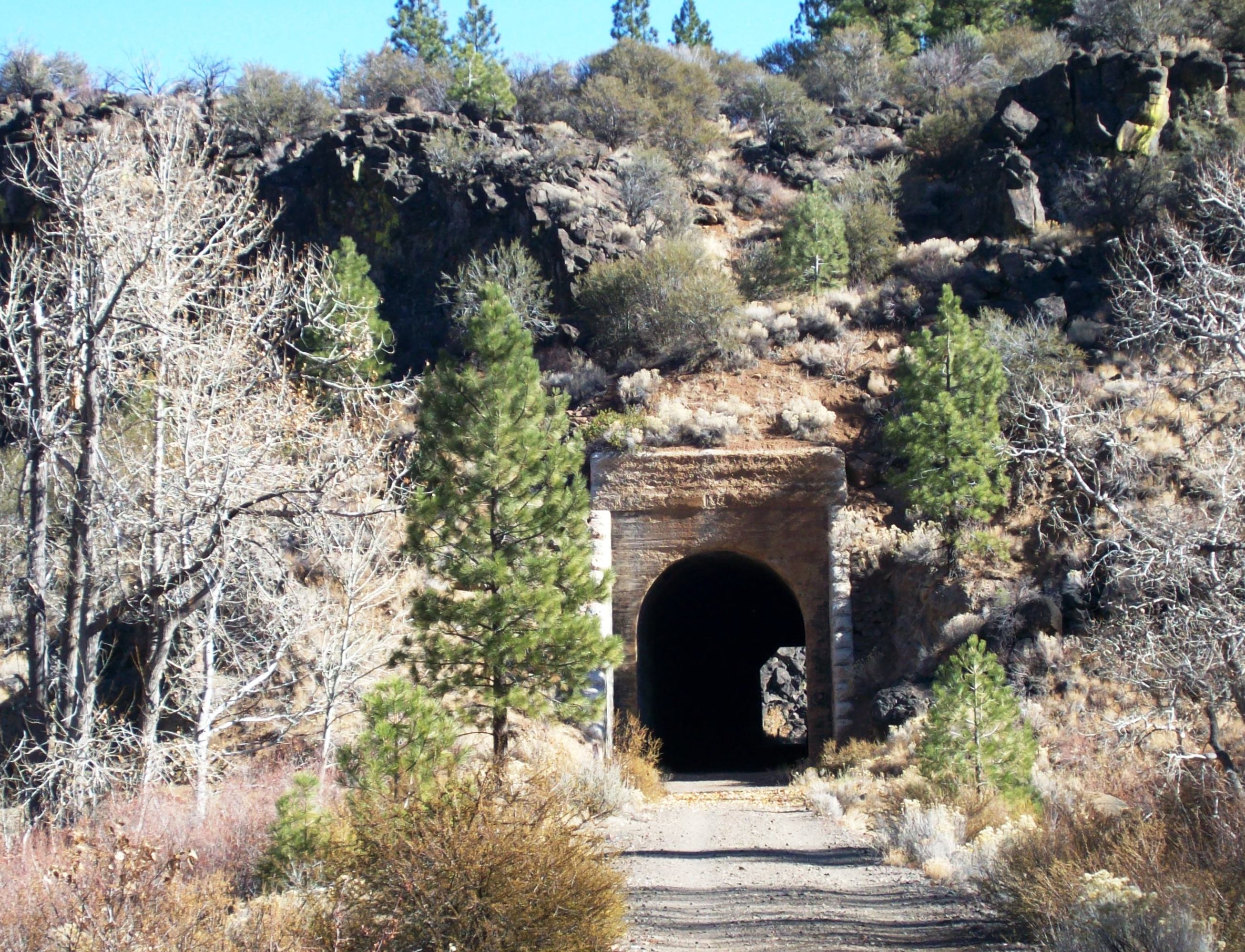
Former railroad tunnel along the converted Bizz Johnson Trail on the Susan River - bizzjohnson025

Bizz Johnson Trail 2009-1101_114321

A river runs through it

Bizz Johnson Trail 2009-1101_132712

Bizz Johnson Trail 2009-1101_114253

The second tunnel

Bizz Johnson Trail 2009-1101_122344

Bizz Johnson Trail 2009-1101_131156
Zwischen Susanville und Westwood

Bizz Johnson Trail 2009-1101_120424
Topographic Map of 13 CA-36, Susanville, CA, USA
Find elevation by address:

Places near 13 CA-36, Susanville, CA, USA:
Coyote Peak
Roop Mountain
478-130 Lake Forest Dr
Estates Drive
691-135 Las Plumas Way
Lassen Way
Diamond Mountain
696725 Peak Rd
699-500 Oak Mountain Dr
699-740 Old Archery Rd
1182 27n09b
Crescent Mills
Susanville
2301 Main St
Lassen County
Susanville
Taylorsville
Crescent Mills, CA, USA
871 Genesee Rd
Mount Hough
Recent Searches:
- Elevation of Zimmer Trail, Pennsylvania, USA
- Elevation of 87 Kilmartin Ave, Bristol, CT, USA
- Elevation of Honghe National Nature Reserve, QP95+PJP, Tongjiang, Heilongjiang, Jiamusi, Heilongjiang, China
- Elevation of Hercules Dr, Colorado Springs, CO, USA
- Elevation of Szlak pieszy czarny, Poland
- Elevation of Griffing Blvd, Biscayne Park, FL, USA
- Elevation of Kreuzburger Weg 13, Düsseldorf, Germany
- Elevation of Gateway Blvd SE, Canton, OH, USA
- Elevation of East W.T. Harris Boulevard, E W.T. Harris Blvd, Charlotte, NC, USA
- Elevation of West Sugar Creek, Charlotte, NC, USA