Elevation of 12th St, South Pittsburg, TN, USA
Location: United States > Tennessee > Marion County > South Pittsburg >
Longitude: -85.710818
Latitude: 34.9999724
Elevation: -10000m / -32808feet
Barometric Pressure: 295KPa
Elevation Map:
Satellite Map:
Related Photos:
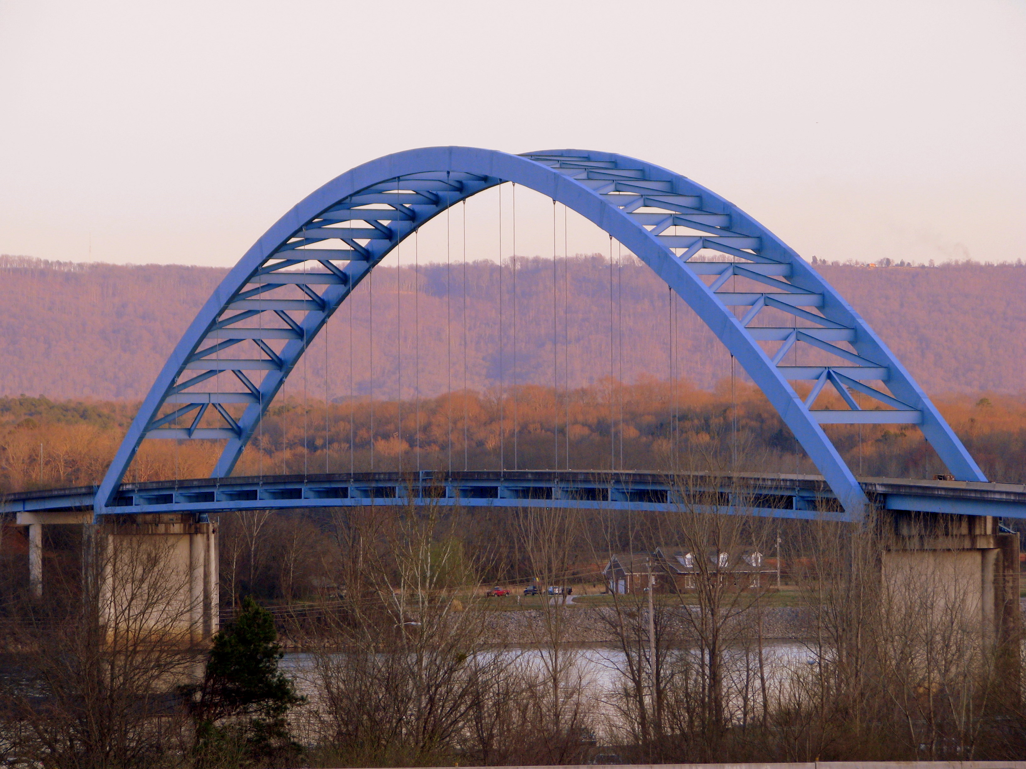
Shelby Reinhart Bridge 2

Enjoying a slightly different water view. #CliffordGoesToFlorida

Goodbye...Tell Your Friends...

Sunset on Lake Nickajack

Nickajack Cave Wildlife Refuge (view from Highway TN156)
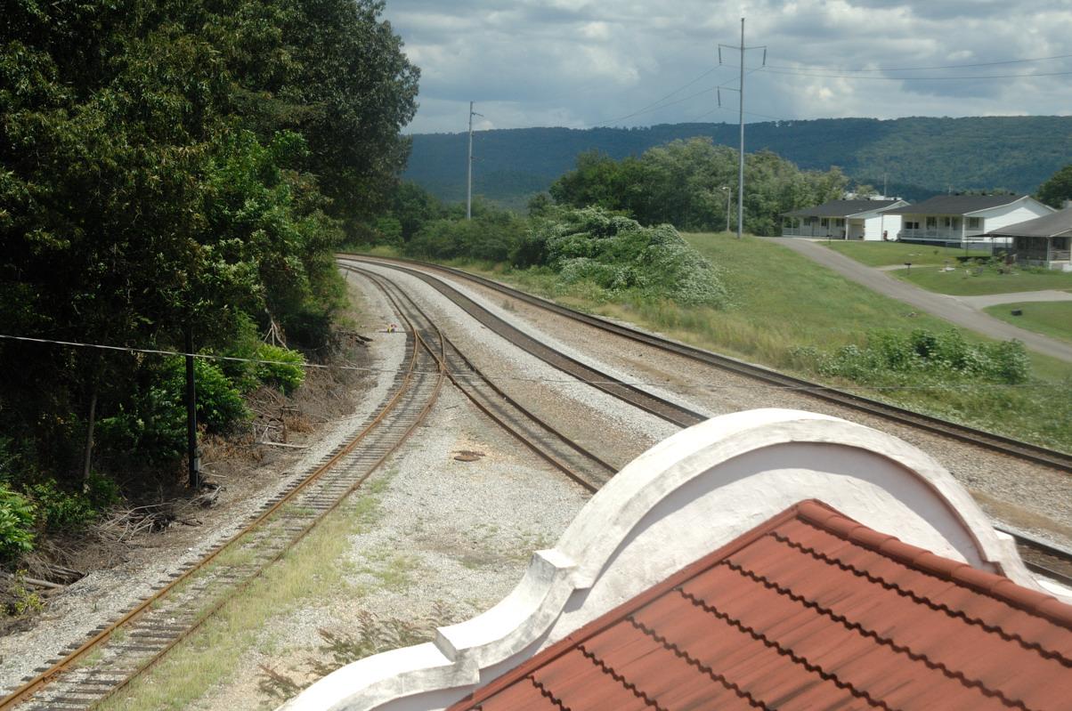
Bridgeport Depot (view from tower)

Marion County, Tennessee - Scenic View at Rest Area

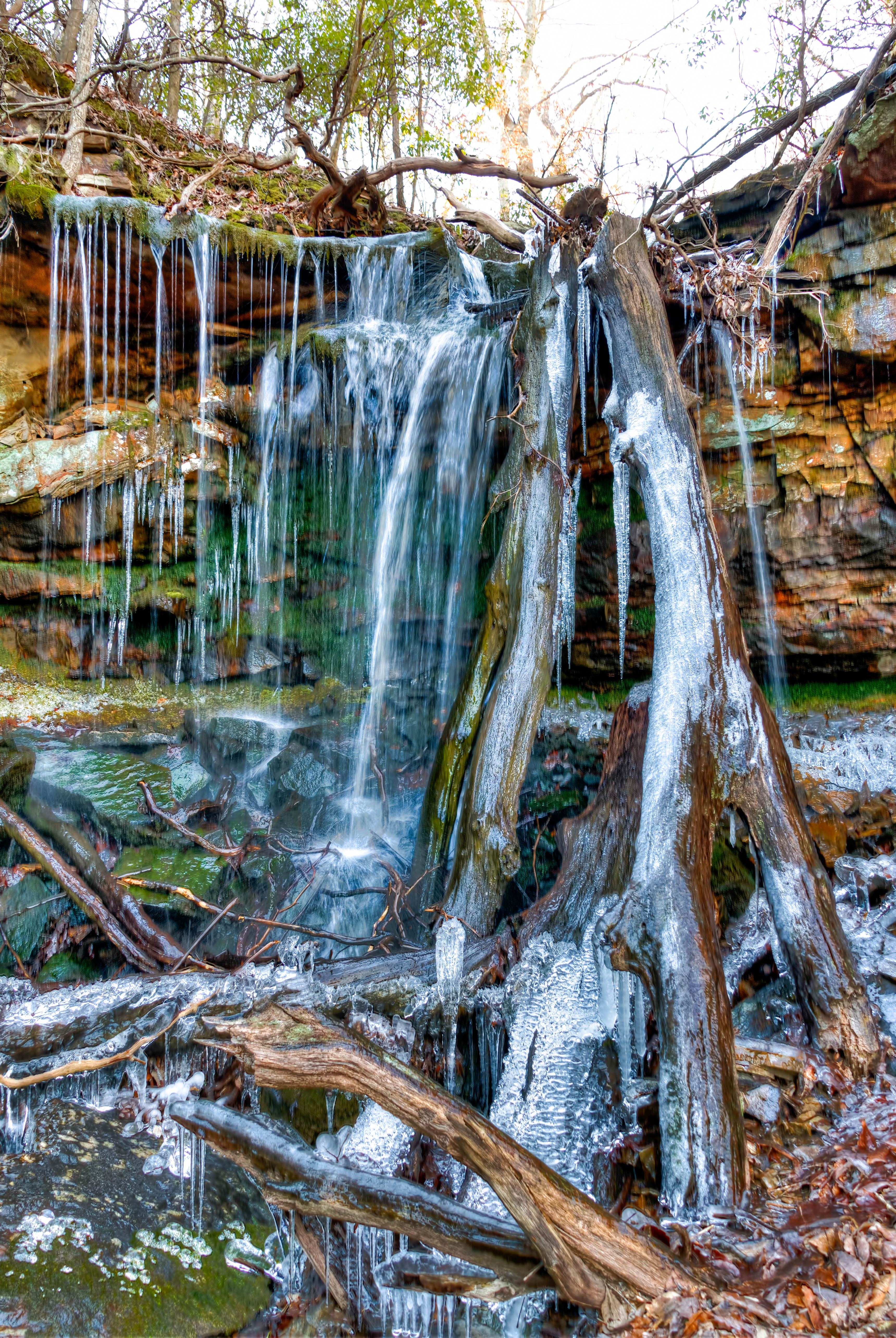
Ruby Falls Barn

Frances Conner

Bridgeport, AL Depot b/w trackside view

Orme Mtn. Road Activities

Marion County, Tennessee - Scenic View at Rest Area

Sergeant Ramond H. Cooley

Raymond H. Cooley

South Pittsburg, TN

Sergeant Raymond H. Cooley

Marion County, Tennessee - Rest Area

When The Night Has Been Too Lonely

View from the hotel window

Marion County, Tennessee - MDOT Mike at the Rest Area

Withstanding The Elements

Golden Lines

Alabama!

Nickajack Lake, Marion County, Tennessee

Tennessee River

Forever & Ever

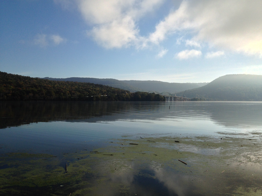
Nickajack Lake

Mirror Sunrise

Pat's SUmmit

Sunset on Nickajack

V163 Bridgeport Alabama

Q210 Shellmound Tennessee

CSX 5312 North Shellmound Tennessee
Franklin-Marion State Forest
Roadside Stop

Marsh in Kimball, Tennessee

NS 107 (CSX Z376-10) at Nickajack Lake

nickajack dam

Tennessee lake
Topographic Map of 12th St, South Pittsburg, TN, USA
Find elevation by address:

Places near 12th St, South Pittsburg, TN, USA:
211 12th St N
1006 Holly Ave
514 Laurel Ave
South Pittsburg
700 4th St
402 N Cedar Ave
855 Raulstontown Rd
515 Chance Rd
700 Three Forks Road
380 Three Forks Road
Mail Loop
104 Battle Creek Rd
310 Kimball Crossing Dr
104 Battle Creek Rd
Jasper Highlands
Woodall Point Road
New Hope
Jasper Highlands Blvd
460 Raulston Cove Rd
321 Raulston Cove Rd
Recent Searches:
- Elevation of Sattva Horizon, 4JC6+G9P, Vinayak Nagar, Kattigenahalli, Bengaluru, Karnataka, India
- Elevation of Great Brook Sports, Gold Star Hwy, Groton, CT, USA
- Elevation of 10 Mountain Laurels Dr, Nashua, NH, USA
- Elevation of 16 Gilboa Ln, Nashua, NH, USA
- Elevation of Laurel Rd, Townsend, TN, USA
- Elevation of 3 Nestling Wood Dr, Long Valley, NJ, USA
- Elevation of Ilungu, Tanzania
- Elevation of Yellow Springs Road, Yellow Springs Rd, Chester Springs, PA, USA
- Elevation of Rēzekne Municipality, Latvia
- Elevation of Plikpūrmaļi, Vērēmi Parish, Rēzekne Municipality, LV-, Latvia