Elevation of 12 Harborview Rd, Hull, MA, USA

Location: United States > Massachusetts > Plymouth County > Hull >

Longitude: -70.909248

Latitude: 42.3058293

Elevation: 26m / 85feet

Barometric Pressure: 101KPa

Elevation Map:

elevation map of 12 Harborview Rd, Hull, MA, USA

Satellite Map:

Satellite map of 12 Harborview Rd, Hull, MA, USA

Related Photos:

usa green grass boston canon squirrel gray peanut scratch massachussetts ef24105l t1i lovelymotherearth
give me a peanut already!!
sea mist reflection water boston fog photoshop canon pier dock haze moody massachusetts mysterious 40d
Charlestown Mist
geotagged brooks brooksbos boston ship boat colombia navy water pier fanpier seaport tallship gloria sony rx100 rx100m2 arcgloria
Colombian Navy's Tall Ship, Gloria
nycticoraxnycticorax blackcrownednightheron
_RDX9532.jpg
_RDX7285.jpg
nycticoraxnycticorax blackcrownednightheron
_M4_6207.jpg
nycticoraxnycticorax blackcrownednightheron
_M4_3557.jpg
_M4_6177.jpg
cyanocittacristata bluejay
_M4_7180.jpg
greenheron butoridesvirescens
_M4_7170.jpg
greenheron butoridesvirescens
_M4_7135.jpg
blackcrownednightheron nycticoraxnycticorax
_RDX0203.jpg
nycticoraxnycticorax blackcrownednightheron
_M4_2485.jpg
nycticoraxnycticorax blackcrownednightheron
_RDX9875.jpg
city bridge cambridge tower boston night river observation ma town cityscape br view massachusetts charles center deck observatory prudential longfellow
Longfellow Bridge
nycticoraxnycticorax blackcrownednightheron
_M4_6222.jpg
blackcrownednightheron nycticoraxnycticorax
_RDX3700.jpg
nycticoraxnycticorax blackcrownednightheron
_RDX7170.jpg
nycticoraxnycticorax blackcrownednightheron
_M4_6670.jpg
nycticoraxnycticorax blackcrownednightheron
_RDX9621.jpg
nycticoraxnycticorax blackcrownednightheron
_RDX0024.jpg
geotagged landscape boston brooks brooksbos beach
Carson Beach, South Boston
city longexposure bridge cruise blue usa reflection boston skyline architecture modern america sunrise ma harbor downtown cityscape dusk massachusetts historic chain financialdistrict bluehour shobeiransari
Boston Harbor at Sunrise
summer boston massachusetts charlesriver newengland esplanade backbay goldenhour brownstones pw
Back Bay Brownstones at Golden Hour
city longexposure morning pink blue cambridge sunset urban usa motion reflection water boston skyline architecture clouds contrast canon buildings river photography dawn spring movement colorful cityscape waterfront skyscrapers unitedstates cloudy vibrant massachusetts horizon charlesriver shoreline newengland wideangle calm shore serene waterblur distance treeline cambridgema waterway cityskyline waterreflection bostonskyline dawnlight greentrees urbanriver ndfilters charlesriveresplanade cloudmovement smoothwater coolcolor extremeexposure backbayboston memorialdrivecambridge prudentialtowerboston backbayneighborhood hancocktowerboston gregdubois gregduboisboston
Back Bay Boston Skyline Reflecting on Charles River over Esplanade at Dawn - Cambridge MA USA
city bridge winter cambridge urban snow ice water boston skyline river landscape geotagged ma photography frozen photo day massachusetts charlesriver newengland panasonic frigid bostonma cityview skywalk lurvely gayphotographer thatsboston dmczs5 brooksbos
Frozen Landscape
ocean city longexposure morning sea summer urban usa seascape motion reflection water boston skyline architecture clouds contrast marina sunrise canon buildings boats photography harbor boat morninglight movement colorful cityscape waterfront skyscrapers unitedstates cloudy vibrant horizon shoreline newengland wideangle stormy calm financialdistrict shore serene yachts waterblur distance atlanticocean waterway stormclouds cityskyline waterreflection pierspark bostonskyline waterscape eastboston bostonharbor stormscape ndfilters cloudmovement smoothwater neutraldensity stormysunrise extremeexposure bostonsunrise financialdistrictboston gregdubois gregduboisphotography piersparkeastboston
Stormy Sunrise over Boston Skyline and Harbor, Piers Park East Boston
sunrise coast atlantic hdr nahant d300 ©allrightsreserved 2470mmf28g capturenx2 nikonjim
Nahant Sunrise
city boston night river campus observation ma technology mit massachusetts charles center institute deck observatory prudential
Mass Ave Bridge
city longexposure morning trees cambridge summer urban usa motion reflection water boston skyline architecture clouds sunrise canon buildings river boats photography dawn morninglight movement colorful cityscape waterfront skyscrapers unitedstates cloudy vibrant charlesriver shoreline newengland wideangle calm shore serene pilings bluehour yachts waterblur treeline westend atmospheric cambridgema waterway waterreflection yachtclub bostonskyline waterscape boatdock urbanriver ndfilter cloudmovement smoothwater cambridgemassachusetts neutraldensity charlesgate bostonarchitecture extremeexposure bostonsunrise canon6d cambridgeparkway westendboston charlesgateyachtclub gregdubois gregduboisphotography
Sunrise over Charlesgate Yacht Club, Charles River Esplanade, and West End Boston Skyline - Cambridge MA
cambridge sunset sky weather boston clouds massachusetts charlesriver newengland pw
Boston at Sunset
boston fallcolors massachusetts newengland eastcoast publicgarden pw bostonpublicgarden
Boston Public Garden
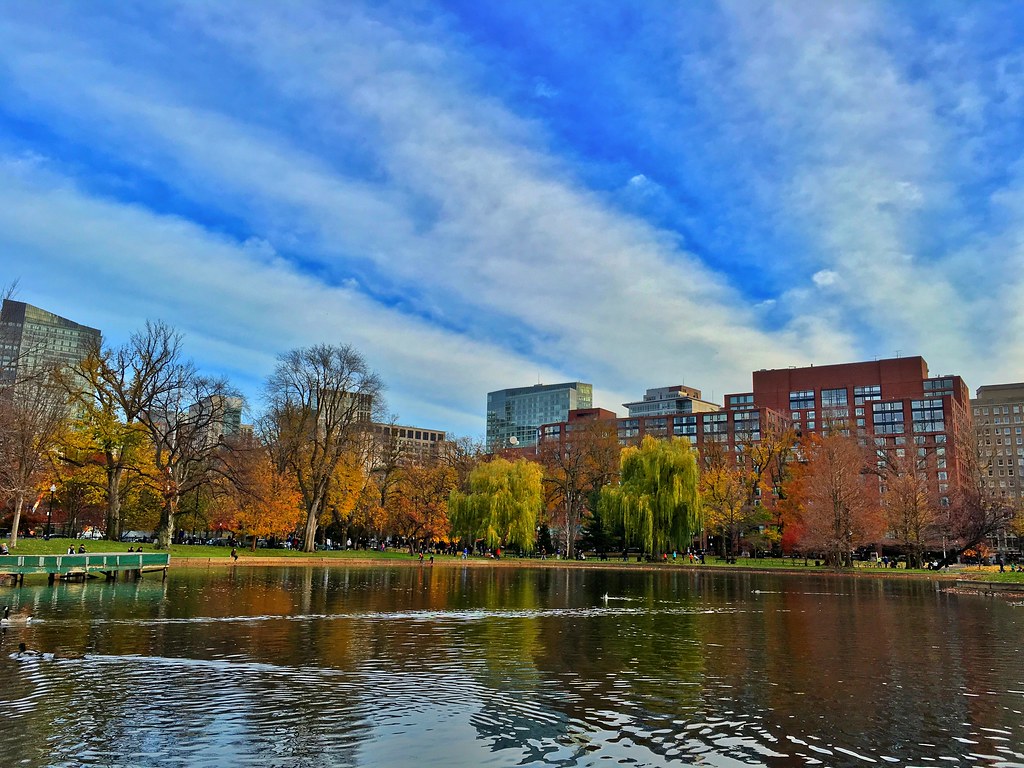
park autumn trees lake water boston reflections massachusetts autumncolours
Boston in Autumn
city longexposure blue cambridge light sky urban usa white motion building water boston skyline architecture clouds canon buildings river boats photography movement colorful day cityscape afternoon waterfront skyscrapers unitedstates cloudy vibrant massachusetts horizon charlesriver shoreline newengland sunny wideangle stormy bluesky calm shore daytime serene polarizer distance treeline buoys cambridgema waterway cityskyline bostonskyline greentrees urbanriver ndfilter downtownboston warmcolor charlesriveresplanade cloudmovement smoothwater stackedfilters extremeexposure backbayboston memorialdrivecambridge warmcoolcontrast prudentialtowerboston hancocktowerboston gregdubois gregduboisboston extremedaylongexposure
Back Bay Boston Skyline over Charles River and Esplanade with Buoys and Clouds, Polarized Extreme Day LE
blue red water boston night geotagged boats twilight diptych fireworks charlesriver gps july4th geo:lat=4236108 maperture geo:lon=71073127
First light
boston night deerisland
Deer Island Landscape
boston brooks brooksbos city geotagged light massachusetts newengland nature sky skyline water harbor islands bostonharborislands deerisland clouds casioexzr1300 casio
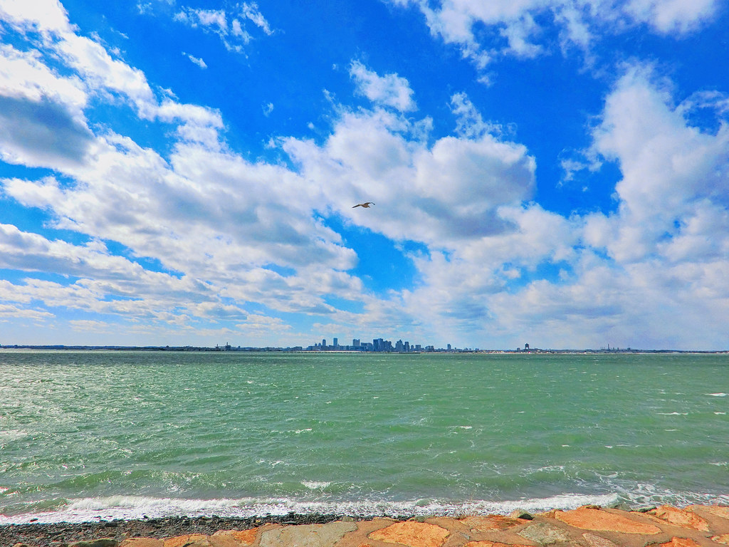
View of Boston skyline from Deer Island
massachusetts countryclub bluehills hdr bluehillsreservation quarryhills quincyma quincyquarries quincymassachusetts westquincymassachusetts
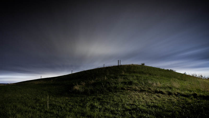
Quarry Hills - West Quincy, Massachusetts.
city longexposure nightphotography morning cambridge urban usa mist reflection building water boston misty fog skyline architecture canon buildings river photography dawn early twilight colorful cityscape nightlights waterfront skyscrapers unitedstates vibrant massachusetts horizon charlesriver shoreline foggy newengland wideangle calm shore citylights serene waterblur backbay cambridgema waterway hancocktower cityskyline morningsky urbanlandscape waterreflection bostonskyline waterscape prudentialtower urbanriver mirrorreflection charlesriveresplanade charlesriverreservation smoothwater cambridgemassachusetts heavyfog backbayboston memorialdrivecambridge canon6d prudentialtowerboston unusualviewsperspectives hancocktowerboston gregdubois gregduboisphotography backbaybostonskyline
Back Bay Boston Skyline under Heavy Fog at Dawn with Mirror Reflection on Charles River - Cambridge Massachusetts USA
ocean storm water boston harbor pier unitedstates decay massachusetts bluehour remains magichour rainclouds beantown bostonstrong
Rain Over a Blue Boston
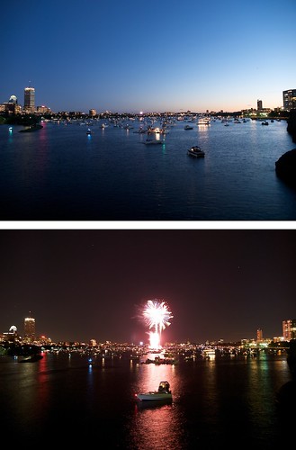
Catch this moment (Boston city at night)