Elevation of 12 1st St, La Fontaine, IN, USA
Location: United States > Indiana > Wabash County > Waltz Township >
Longitude: -85.828738
Latitude: 40.668504
Elevation: 246m / 807feet
Barometric Pressure: 98KPa
Elevation Map:
Satellite Map:
Related Photos:
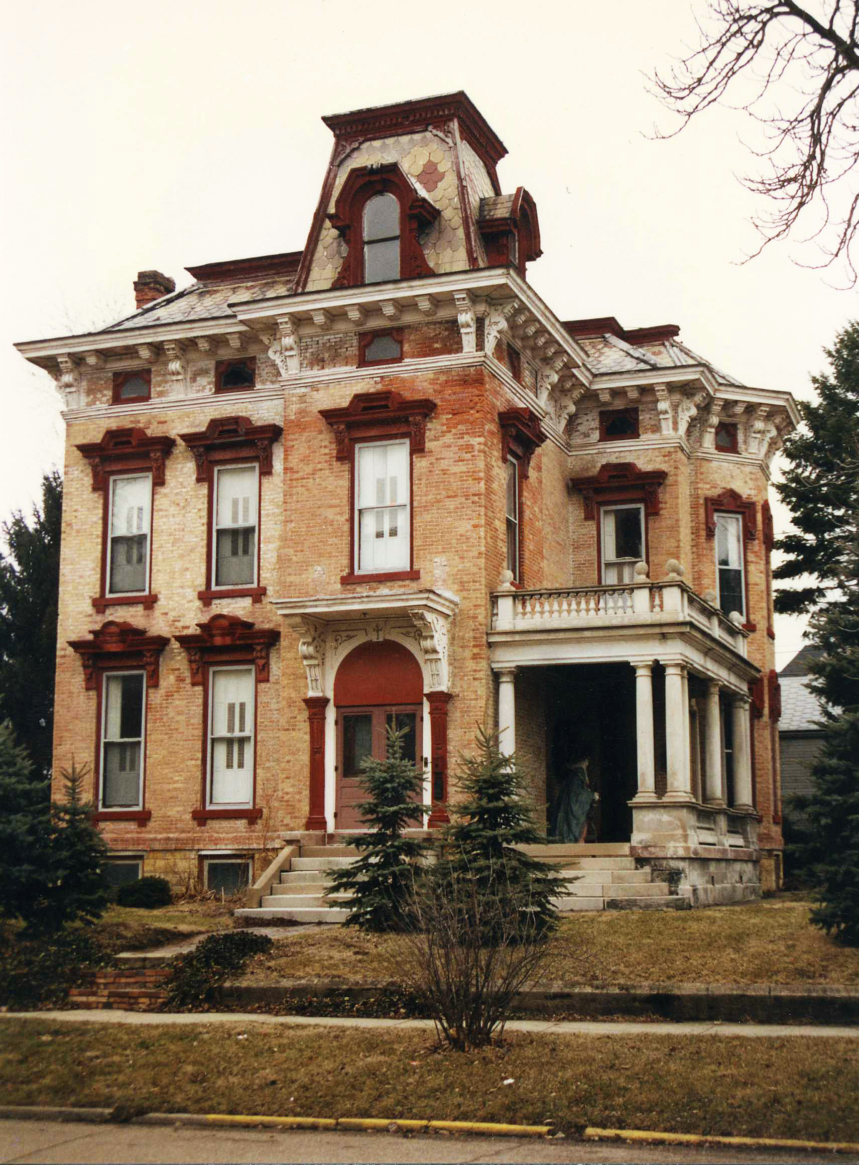
McNamee-Eilts house, Wabash, IN
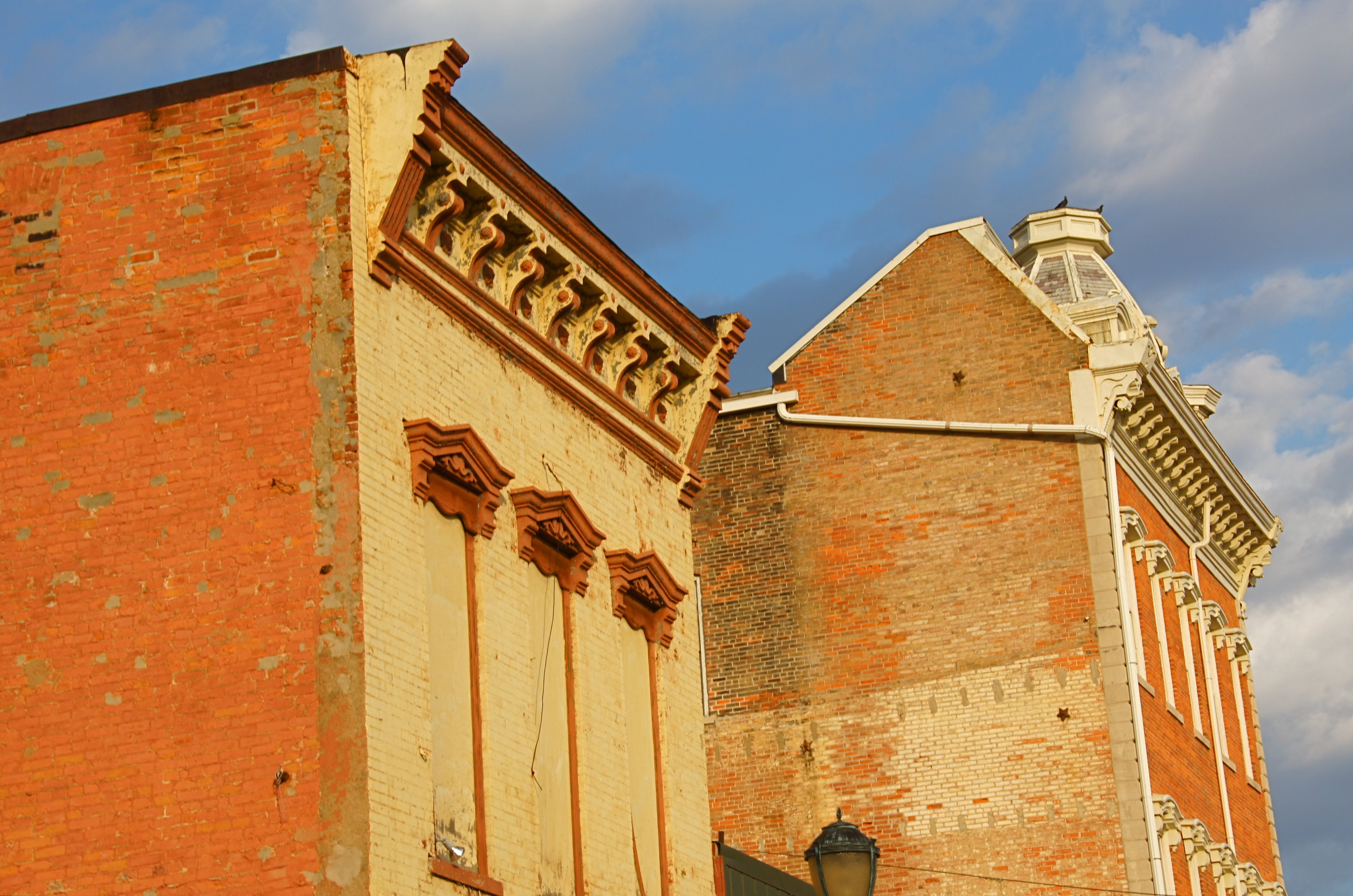
Wabash, IN Architecture

ANTIQUES, Wabash, IN

Mississinewa Reservoir

Oak Hill High School gym- Wide view

Oak Hill High School gym

With Malice Toward None, With Charity For All

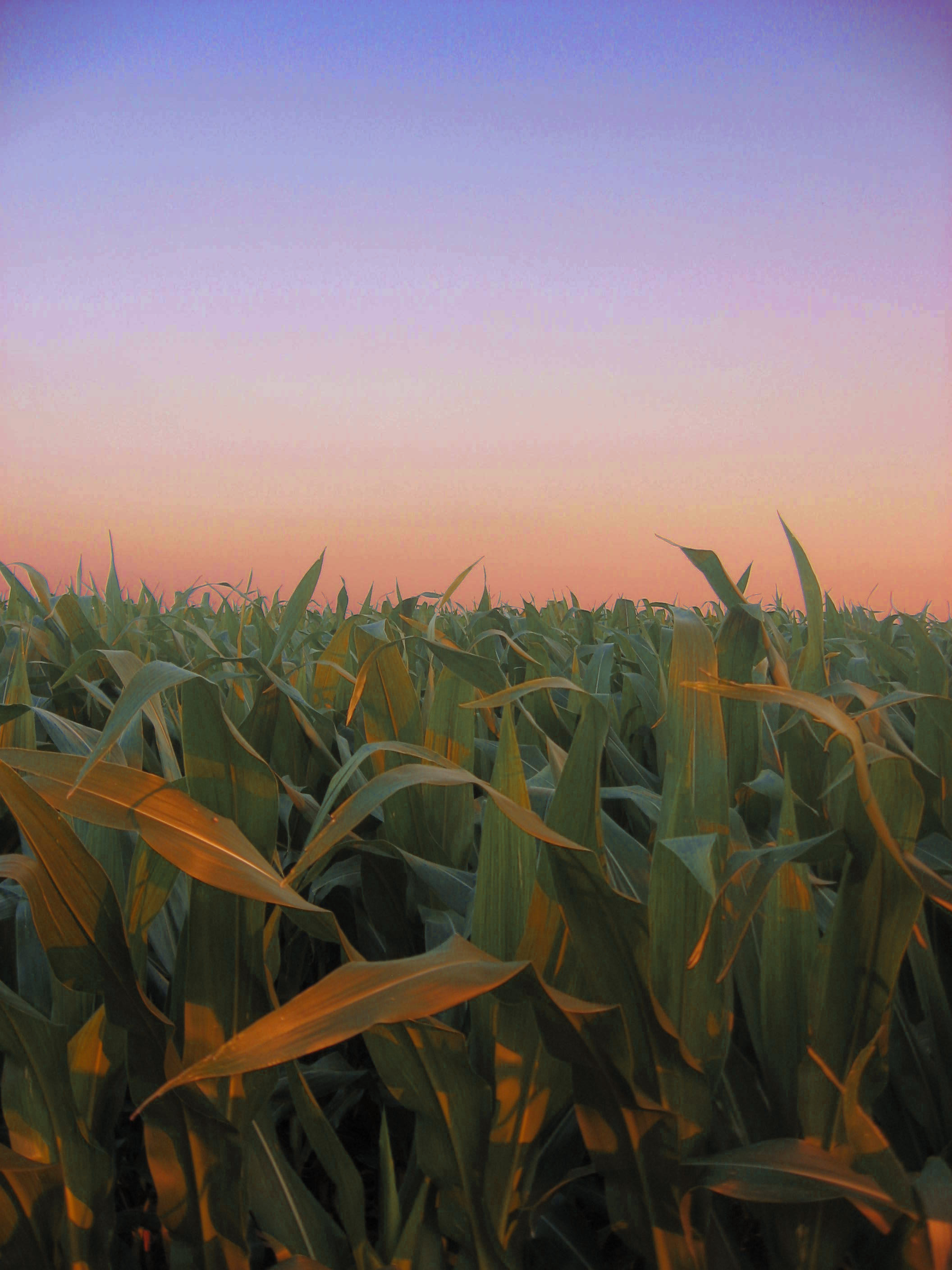
Good morning corn

Mississinewa 1812 Encampment
Mississinewa Reservoir

Crop Duster

Camera Roll-409
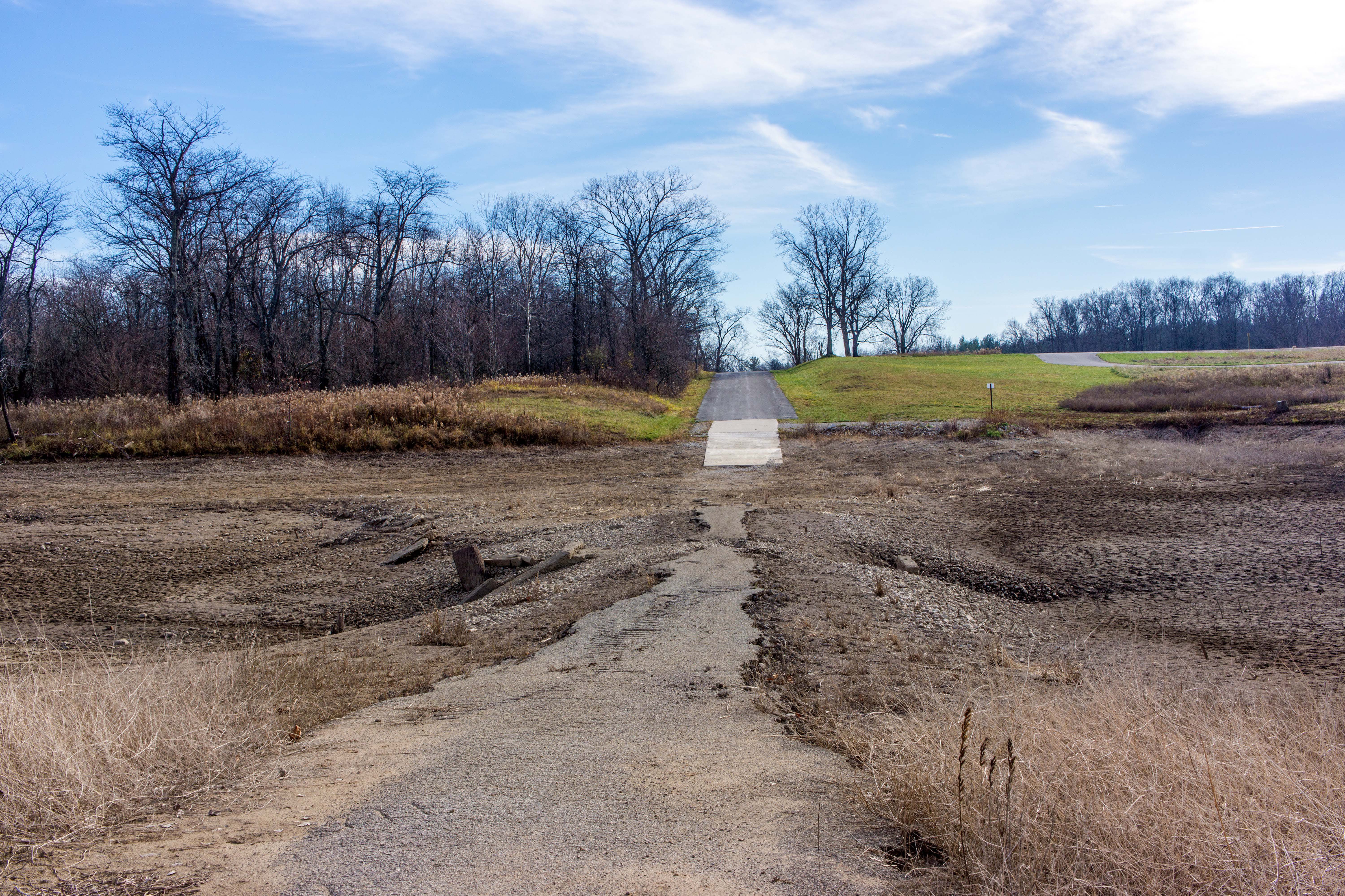
Mississinewa Reservoir Picnic Area
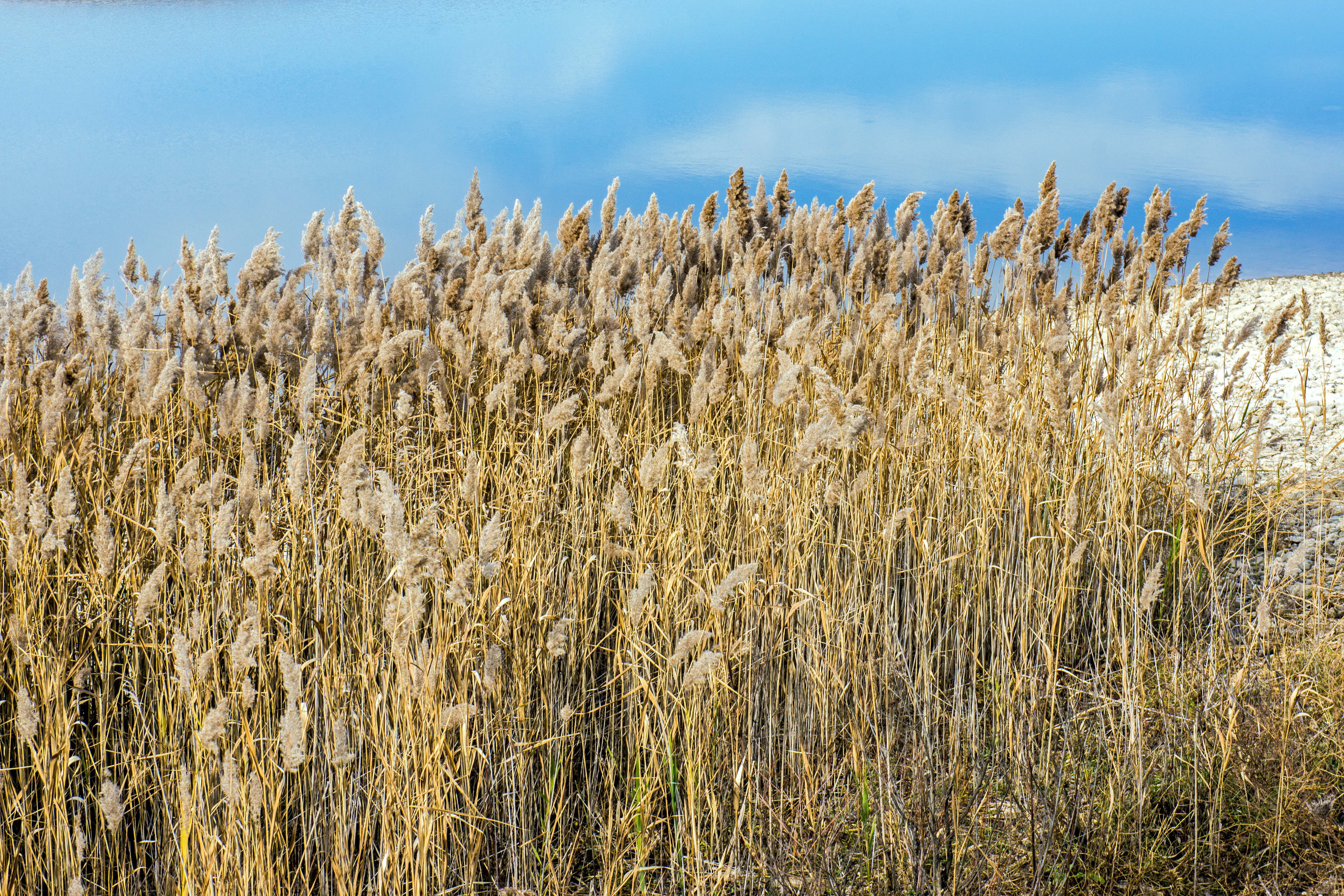
Mississinewa Reservoir
Mississinewa Reservoir
Corn field at Sunset

Mississinewa Battleground

Seven Pillars, Mississinewa River(1)

2008.5.10 - Wedding

Go Carts

2008.5.10 - Wedding

The aftermath
PRR Telegraph Pole

Before Shots
Lake Mississinewa 011

Lake Mississinewa 010
Lake Mississinewa 007
Topographic Map of 12 1st St, La Fontaine, IN, USA
Find elevation by address:

Places near 12 1st St, La Fontaine, IN, USA:
Waltz Township
E S, Wabash, IN, USA
Jackson Township
S E, Amboy, IN, USA
E S, Peru, IN, USA
S E, Bunker Hill, IN, USA
Butler Township
Harrison Township
E S, Peru, IN, USA
Washington Township
S Strawtown Pike, Bunker Hill, IN, USA
256 E 800 S
Miami County
152 Hawthorne Ln
17 E Franklin St
17 E Franklin St
783 N Chili Ave
Peru
Lovers Lane
Peru Township
Recent Searches:
- Elevation of Duckhorn Ct, Las Vegas, NV, USA
- Elevation of Garretts Run Rd, Ford City, PA, USA
- Elevation of N WI-55, Freedom, WI, USA
- Elevation map of Hadiya, Ethiopia
- Elevation of Hosaina, Ethiopia
- Elevation of Verde Terrace, North Port, FL, USA
- Elevation of US-, Leesburg, FL, USA
- Elevation of Summit Dr, Kerrville, TX, USA
- Elevation of Hanson Rd, Cedaredge, CO, USA
- Elevation of Maxine St NE, Albuquerque, NM, USA